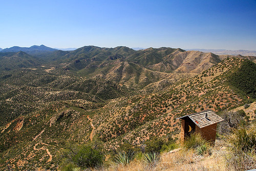
Elevation of Papago Springs Rd, Elgin, AZ, USA

Location: United States > Arizona > Santa Cruz County > Elgin >

Longitude: -110.61155

Latitude: 31.5779742

Elevation: 1625m / 5331feet

Barometric Pressure: 83KPa

Elevation Map:

elevation map of Papago Springs Rd, Elgin, AZ, USA

Satellite Map:

Satellite map of Papago Springs Rd, Elgin, AZ, USA

Related Photos:

arizona usa sierravista blueribbonwinner abigfave diamondclassphotographer flickrdiamond goldstaraward
Dream A Little Dream
incadove columbinainca doves
Inca Dove
gambelsquail callipeplagambelii quail
Gambel's Quail
arizona blackandwhite bw southwest nature landscape geotagged desert tripod az vista 1855mm americanwest naturallandscape desertsouthwest route82 highway82 randomnature canonefs1855mmf3556ii arizonahighways az07 sonoitaaz geo:tool=gmif sonoitaarizona geo:lat=31658779 geo:lon=110697389 random6
Sonoita Platinum
arizona southwest photoshop landscape landscapes scenery sony scenic az hdr cs4 photomatix colorefex hdrpool dslra350 dslr350 sonydslra350 lgeof
Wind Power!!
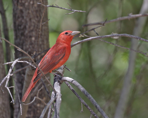
summertanager pirangerrubra
Summer Tanager
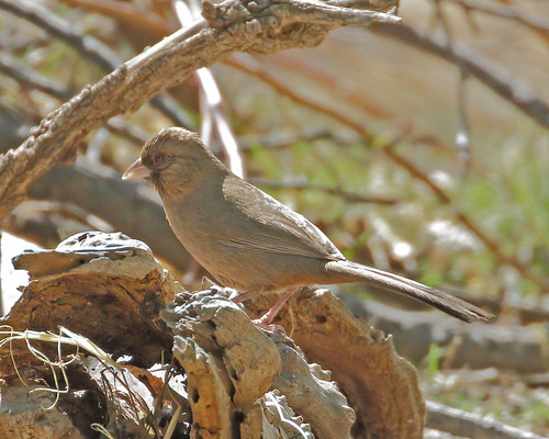
abertstowhee melozoneaberti towhees
Abert's Towhee
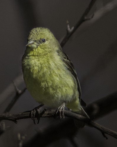
arizona bird nature yellow small naturalbeauty avianphotography
Little Yelllow Bird
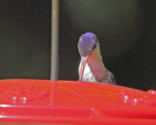
violetcrownedhummingbird amaziliavioliceps hummingbirds
Violet-crowned Hummingbird
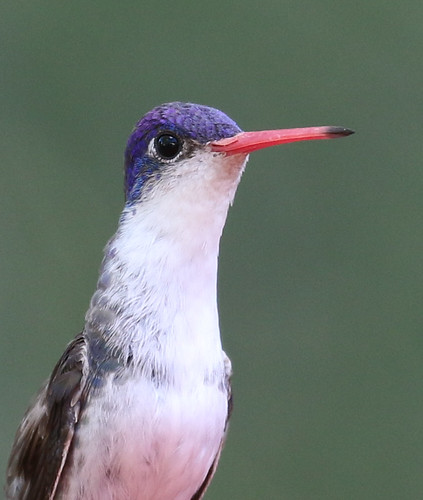
violetcrownedhummingbird amaziliavioliceps
Violet-crowned Hummingbird
arizona geotagged wine az unfound canong5 elgin geo:lat=31659733 geo:lon=110550581
Wine Press
arizona patagonia field yellow gold golden weeds grasses colorfield
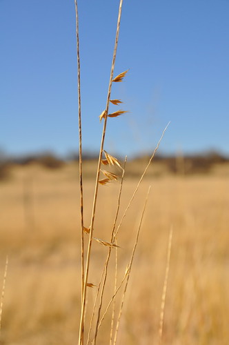
Color Field, Golden Grasses
trees arizona mountain southwest tree nature landscape geotagged desert widescreen az cottonwood vistas preserve naturepreserve americanwest natureconservancy patagoniaarizona naturallandscape desertsouthwest thenatureconservancy randomnature riparianhabitat patagoniaaz sonoitacreek az07 geo:tool=gmif patagoniasonoitacreekpreserve letterboxphoto fremontcottonwood geo:lat=31529367 geo:lon=110770061 random6
Patagonia-Sonoita Creek Preserve
arizona unitedstates emberizidae sanrafaelvalley ammodramusbairdiibairdssparrow
Baird's Sparrow
Violet-crowned Hummingbird
arizona patagonia abstract nature closeup composition weeds canon5dmarkii
Simple Weeds
arizona birds hummingbirds
IMG_3573 Plain-capped Starthroat Hummingbird
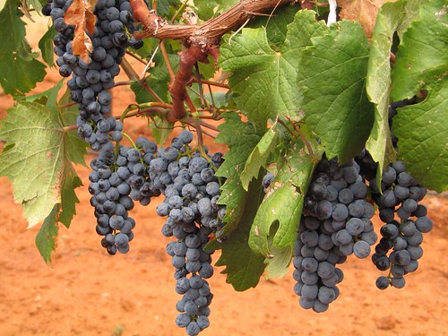
arizona geotagged vineyard wine vine az unfound canong5 grapes callaghanvineyards sonoita callaghan geo:lat=31660849 geo:lon=110551386
Wine Grapes
arizona patagonia az redmountain
Red Mountain Accommodations
arizona landscape az winery elgin southernarizona sonoitavineyards hipstamatic berrypopflash blankofilm lucifervilens
View from Sonoita Vineyards
arizona patagonia az redmountain
Red Mountain Road
world blue arizona sky horse brown mountain nature field animal animals rural landscape outdoors gold colorful pretty natural outdoor farm country hill sunny bluesky serene plain sonoita
Open Grazing
sunset arizona patagonia sunsets southernarizona southeastarizona arizonasunset patagoniamountains arizonaskies
Southern Arizona Sunset
arizona az patagoniamountains azteccanyon
Overlooking Sonora
ranch park arizona panorama grass state valley sanrafael grassland
San Rafael Valley
arizona abandoned sepia rural landscape holga az prairie wildwest opensky 2015 rurex elginaz
Arizona March 2015
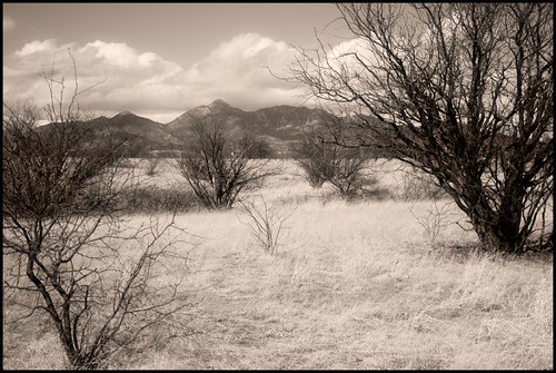
arizona desert elgin sonorandesert drygrass
Dry Grasses
arizona usa patagonia geotagged unitedstates canelo azt arizonatrail geo:lat=3151238438 geo:lon=11056535885
Canelo Hills
farm vineyard country landscape light bright sunny nature outdoors rural serene elgin arizona bird crow field big hill high air sky bluesky blue black brown world mountain mountains fly soar outdoor lightningridge
Soaring Over the Grasslands
farm vineyard country landscape light bright sunny nature outdoors rural serene elgin arizona field thistle flower plant plants grass brown road path line lines wire fence outdoor texture lightningridge
Behind the Vineyard
nikond3200 edk7 2013 usa arizona cochisecounty theresearchranch coronadonationalforest internationalunionforconservationofnature iucn iucncategoryvi landscape scrubland hill mountain sky vista grass valley erosion geology rock tree
Research Ranch, Coronado National Forest, Cochise County, Arizona.
arizona sky usa mountain tree grass rock landscape hill erosion valley vista geology coronadonationalforest nikond3200 iucn scrubland cochisecounty 2013 internationalunionforconservationofnature edk7 theresearchranch iucncategoryvi
Research Ranch, Coronado National Forest, Cochise County, Arizona
farm vineyard country landscape light bright sunny nature outdoors rural serene elgin arizona plant plants grape vine tendril decay old depthoffield line wire fence garden wine pattern lightningridge
Last Year's Vintage
southernarizona arizona grassland patagonia sanrafaelgrasslands
San Rafael Grasslands - southern AZ
antelopesonoitaarizona
Antelope and the Mustang Mountains, Near Sonoita Arizona
arizona usa farm pasture wildflowers
Arizona Farm