Elevation of US-10 & Co Hwy 1, Lake Park, MN, USA
Location: United States > Minnesota > Becker County > Lake Park Township >
Longitude: -96.133039
Latitude: 46.8769946
Elevation: 406m / 1332feet
Barometric Pressure: 97KPa
Elevation Map:
Satellite Map:
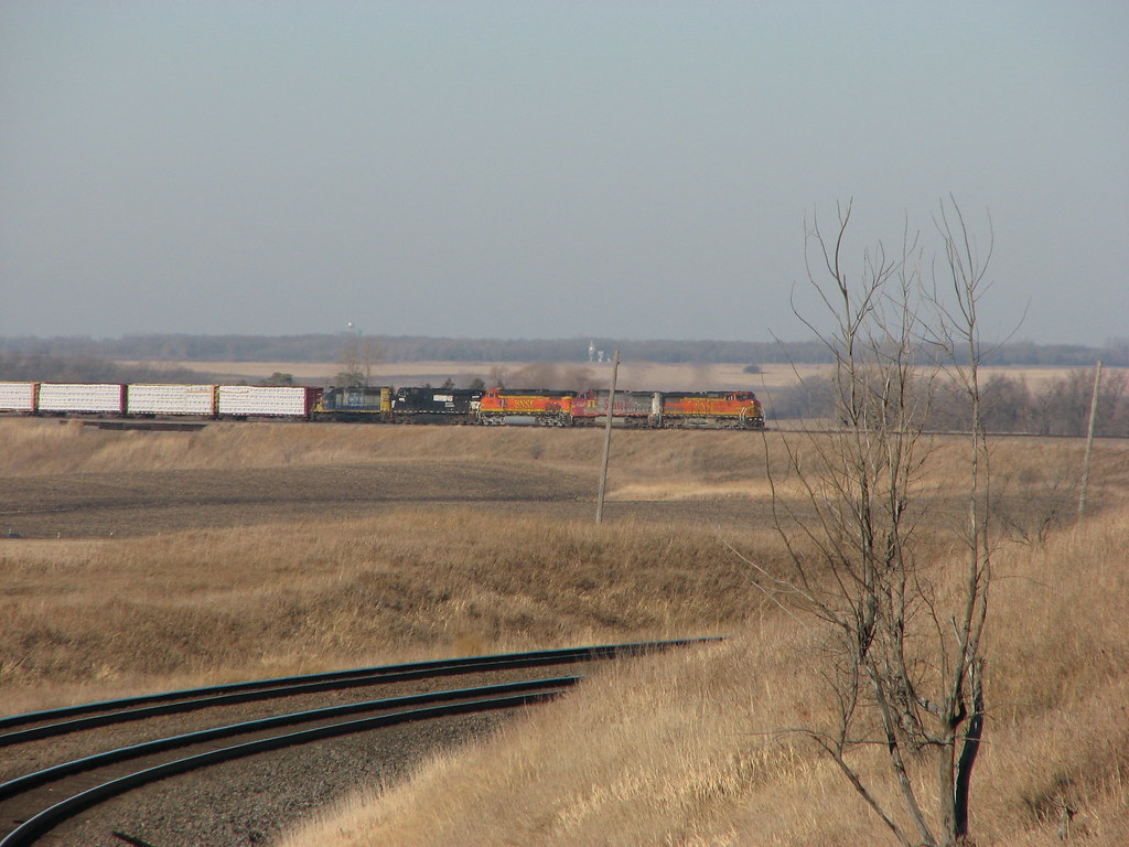
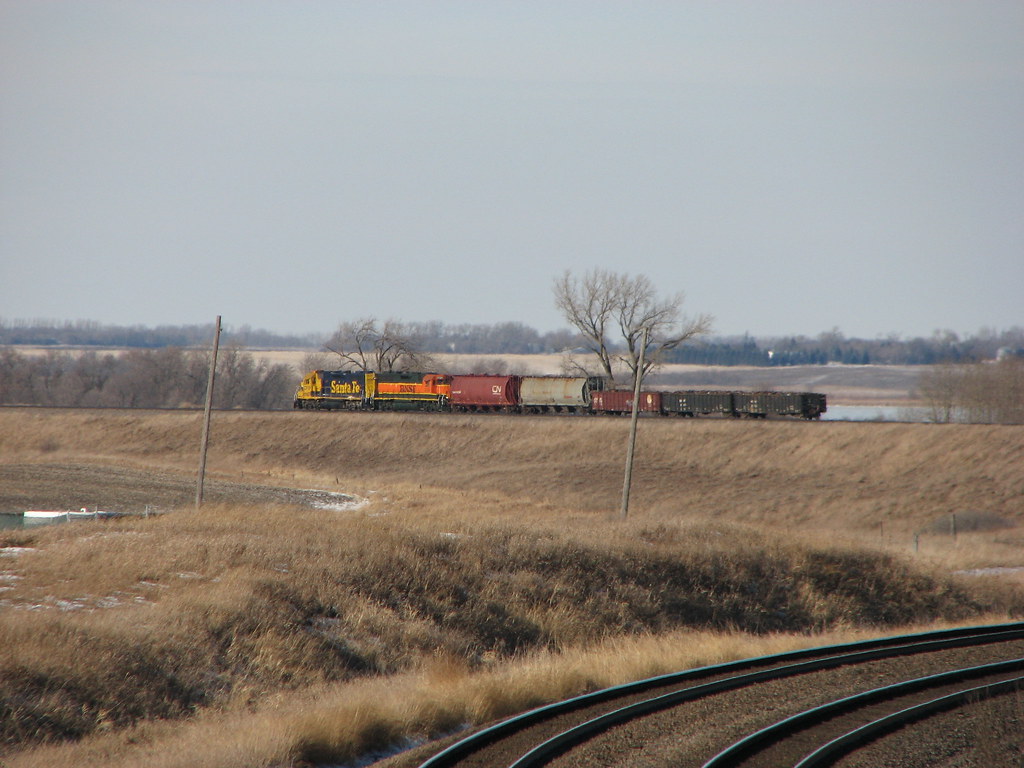
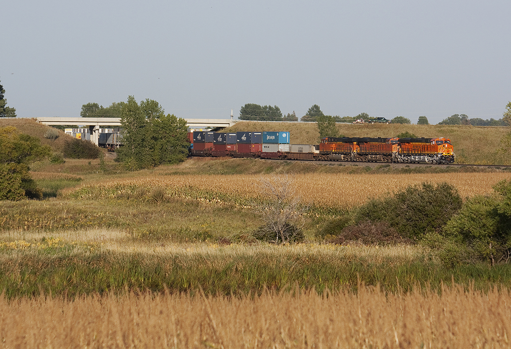
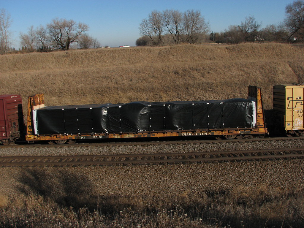
Related Photos:

Clarice enjoying the view! @jakecoffey

Good Morning God!

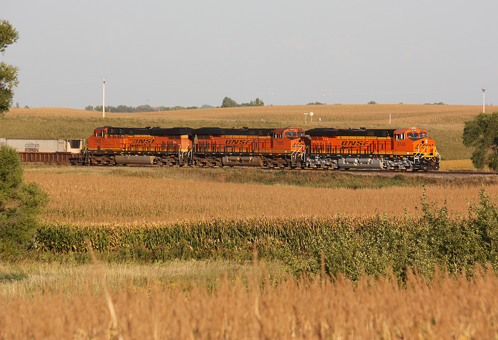
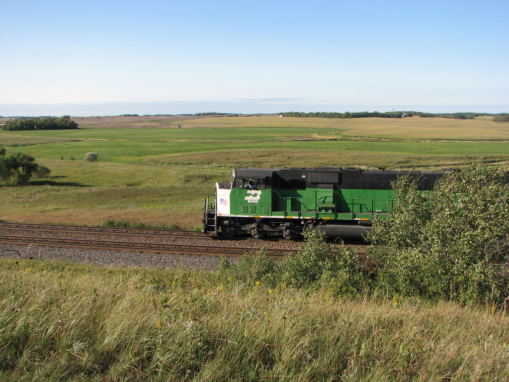
BNSF 9888 - Mt. Muller

Loads Meet Stacks at Hawley
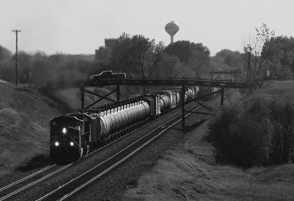
Meeting under the Wooden Bridges
BNSF 4592 - Hawley, MN

Empire Builder along the Prairie

Trees for the forrest

Calm morning on Sugar Island

#minnesotaoutdoors #januarysunset #onlyinmn #ontheroadagain

#minnesota #sunsets #sundayfunday

Detroit Lakes, MN sunrise

CR 37

Mt. Muller Teaser
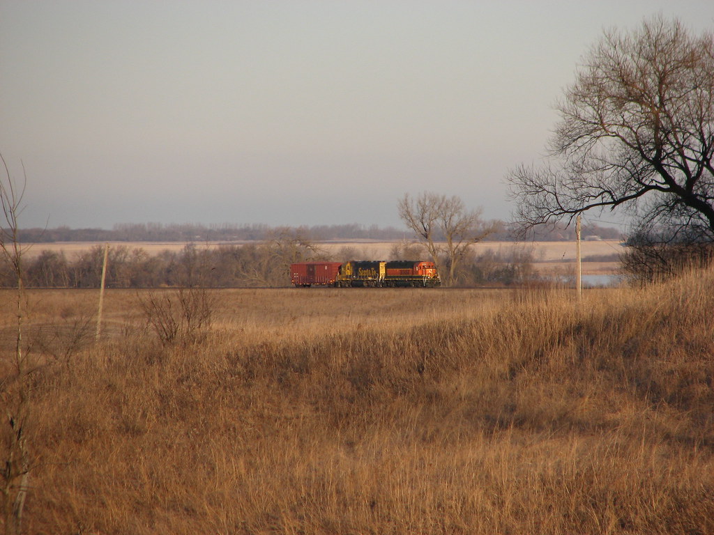
Across the field

A beautiful evening at the lake!
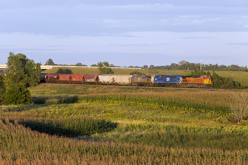
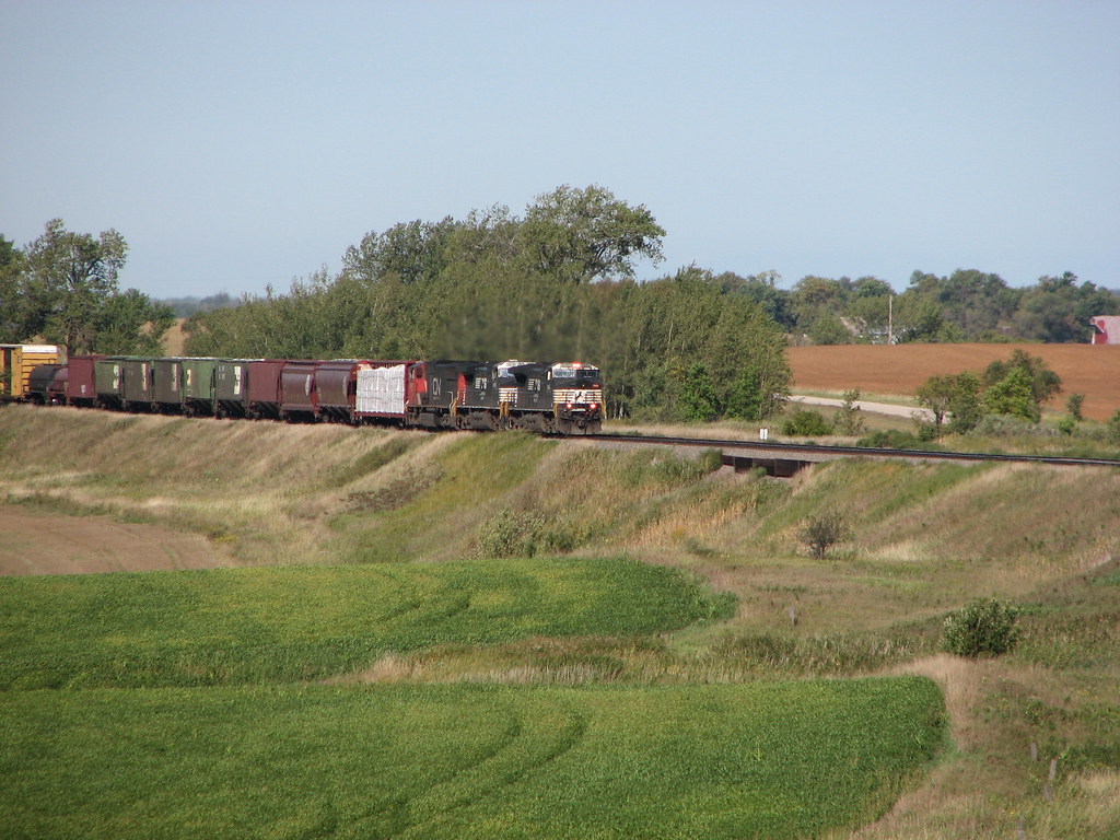
New, Newer, and Newest at Hawley
Looking across the field...

Green Birch
IMG_1789.JPG
Across the Corn and Under Hwy 32
IMG_1356.JPG
EMD SD60 - Lake Park, MN
IMG_0793.JPG
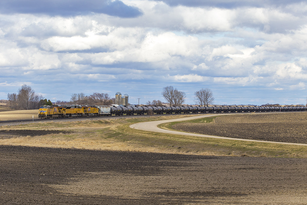
UP 7638 - Manitoba Junction
Topographic Map of US-10 & Co Hwy 1, Lake Park, MN, USA
Find elevation by address:

Places near US-10 & Co Hwy 1, Lake Park, MN, USA:
Lakeview Drive
Lake Park Fire Department
Lake Park
Lake Park Township
Bijou Lake
US-10, Lake Park, MN, USA
16491 192 St
Cormorant Township
Middle Cormorant Lake
Leaf Lake
Big Cormorant Lake
13489 310 St
26321 70th Ave S
9531 280th St S
Atlanta Township
52 W Front St, Hitterdal, MN, USA
Co Hwy 5, Pelican Rapids, MN, USA
Parke Township
MN-32, Detroit Lakes, MN, USA
Main St, Hawley, MN, USA
Recent Searches:
- Elevation of Corso Fratelli Cairoli, 35, Macerata MC, Italy
- Elevation of Tallevast Rd, Sarasota, FL, USA
- Elevation of 4th St E, Sonoma, CA, USA
- Elevation of Black Hollow Rd, Pennsdale, PA, USA
- Elevation of Oakland Ave, Williamsport, PA, USA
- Elevation of Pedrógão Grande, Portugal
- Elevation of Klee Dr, Martinsburg, WV, USA
- Elevation of Via Roma, Pieranica CR, Italy
- Elevation of Tavkvetili Mountain, Georgia
- Elevation of Hartfords Bluff Cir, Mt Pleasant, SC, USA