Elevation of Main St, Hawley, MN, USA
Location: United States > Minnesota > Clay County >
Longitude: -96.316021
Latitude: 46.8810454
Elevation: 351m / 1152feet
Barometric Pressure: 97KPa
Elevation Map:
Satellite Map:
Related Photos:
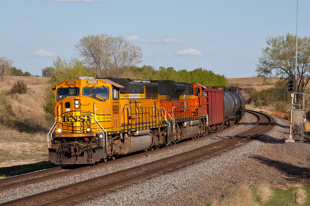
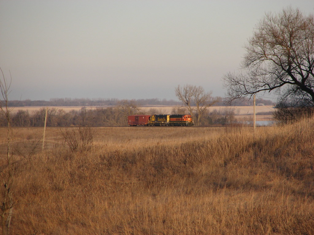
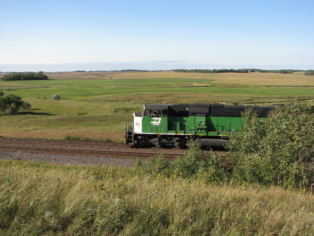
BNSF 9888 - Mt. Muller
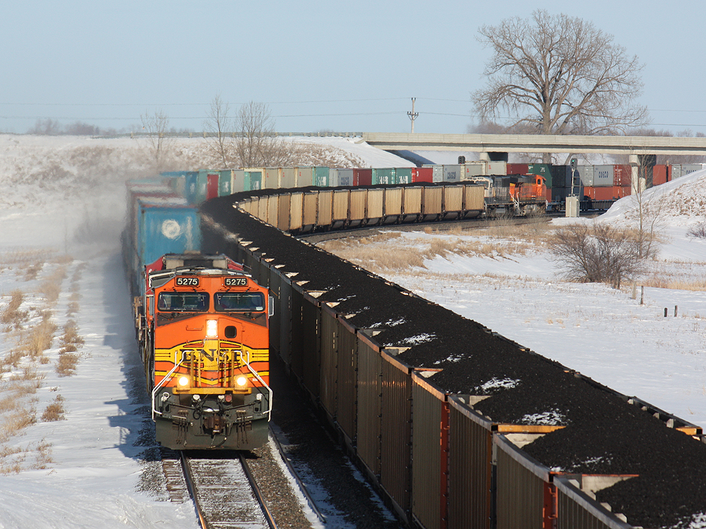
Loads Meet Stacks at Hawley
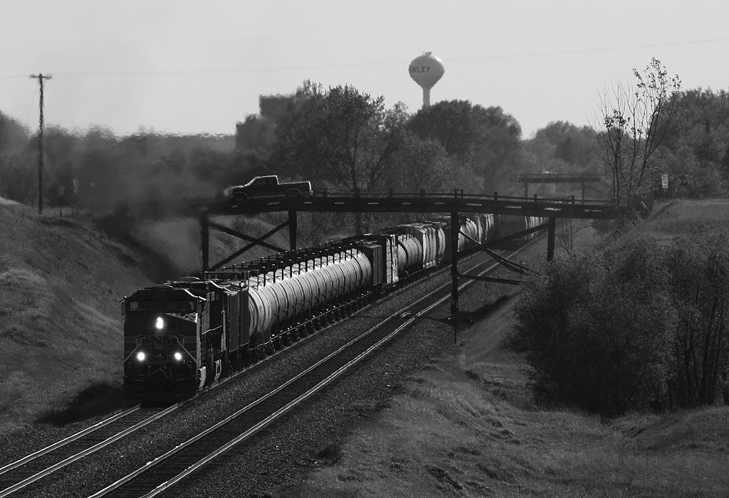
Meeting under the Wooden Bridges

Rollag Sawmill

Wild Onion

Little Bluestem Prairie Grass Silhouette

Bluestem Silhouette
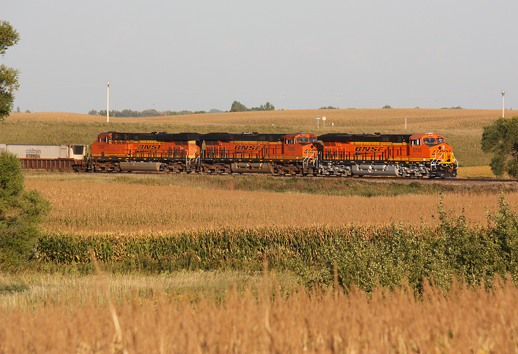
BNSF 6424
Showers Rolling in over Bluestem Prairie
BNSF 9718

Spring Wildflowers

CR 37

Weathered Wood

Bluestem Prairie
upland sandpiper

Old & New
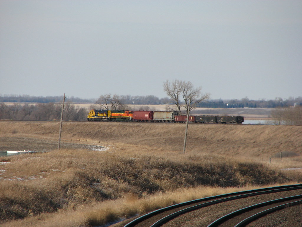
BNSF 4592 - Hawley, MN

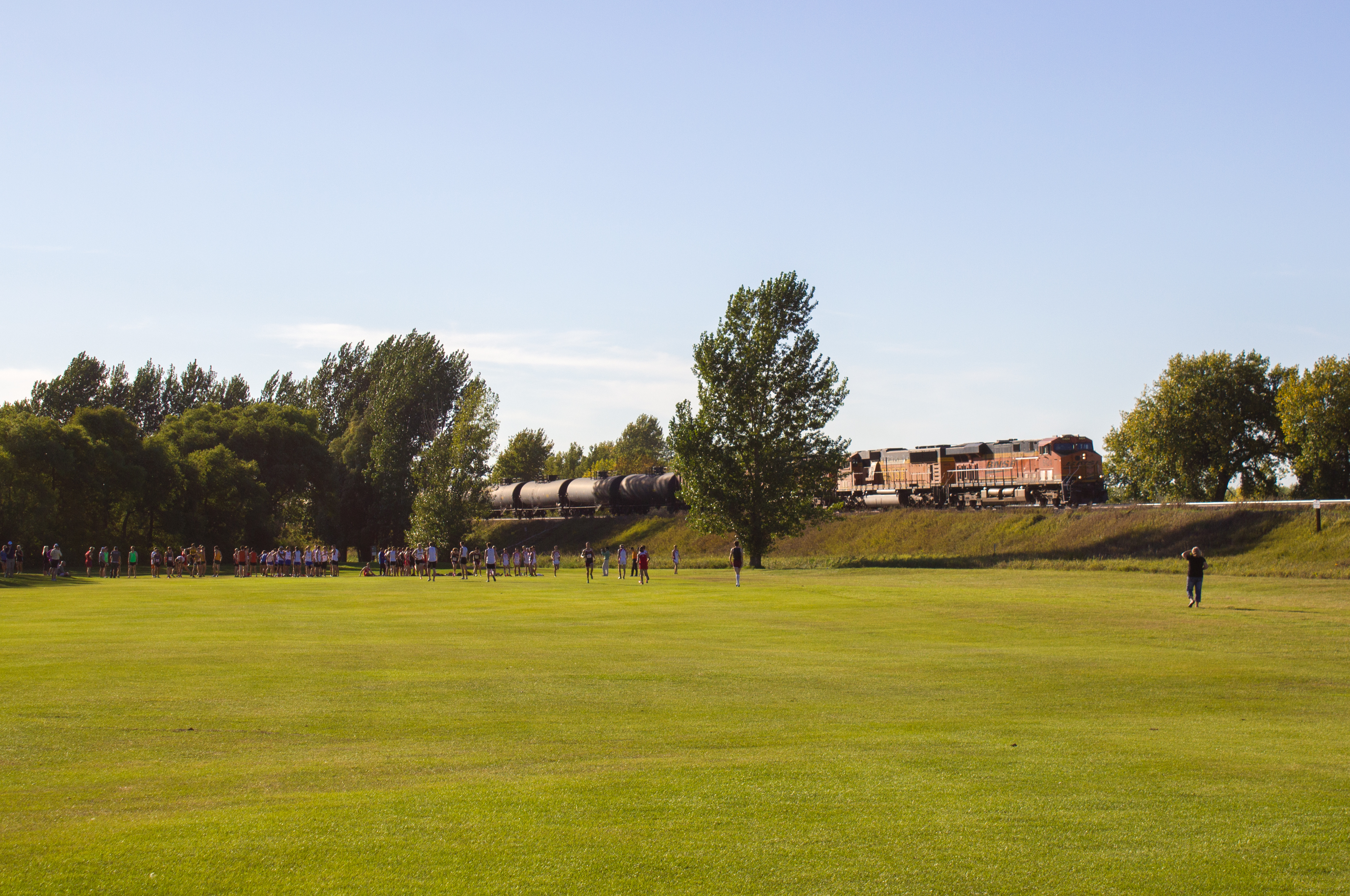
Empire Builder along the Prairie

#minnesotaoutdoors #januarysunset #onlyinmn #ontheroadagain

Mt. Muller Teaser
Across the field
New, Newer, and Newest at Hawley
IMG_1789.JPG
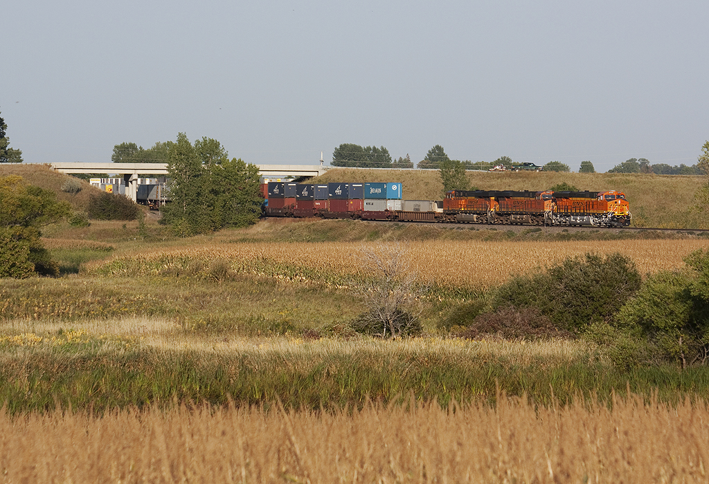
Across the Corn and Under Hwy 32
EMD SD60 - Lake Park, MN
Topographic Map of Main St, Hawley, MN, USA
Find elevation by address:

Places near Main St, Hawley, MN, USA:
Hawley
Hawley Township
12th Ave S, Hawley, MN, USA
Clay County
52 W Front St, Hitterdal, MN, USA
26321 70th Ave S
Parke Township
Spring Prairie Township
9531 280th St S
MN-32, Detroit Lakes, MN, USA
22428 120th Ave S
Bijou Lake
Us-10 & Co Hwy 1
Lake Park Township
Ulen
th St S, Barnesville, MN, USA
Lakeview Drive
Lake Park Fire Department
Lake Park
13489 310 St
Recent Searches:
- Elevation of Leyte Industrial Development Estate, Isabel, Leyte, Philippines
- Elevation of W Granada St, Tampa, FL, USA
- Elevation of Pykes Down, Ivybridge PL21 0BY, UK
- Elevation of Jalan Senandin, Lutong, Miri, Sarawak, Malaysia
- Elevation of Bilohirs'k
- Elevation of 30 Oak Lawn Dr, Barkhamsted, CT, USA
- Elevation of Luther Road, Luther Rd, Auburn, CA, USA
- Elevation of Unnamed Road, Respublika Severnaya Osetiya — Alaniya, Russia
- Elevation of Verkhny Fiagdon, North Ossetia–Alania Republic, Russia
- Elevation of F. Viola Hiway, San Rafael, Bulacan, Philippines