Elevation of US-10, Lake Park, MN, USA
Location: United States > Minnesota > Becker County > Lake Park >
Longitude: -96.066685
Latitude: 46.881168
Elevation: 416m / 1365feet
Barometric Pressure: 96KPa
Elevation Map:
Satellite Map:
Related Photos:
Clarice enjoying the view! @jakecoffey
Good Morning God!
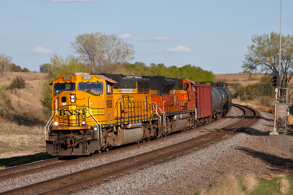
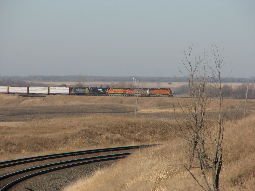
BNSF 9888 - Mt. Muller
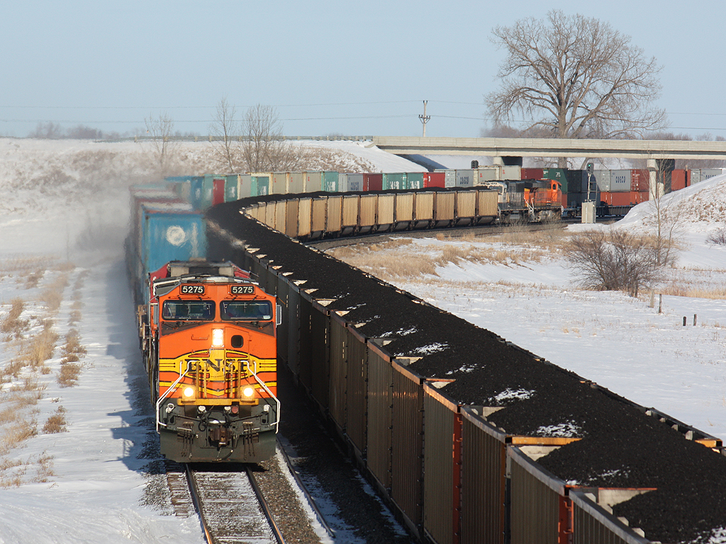
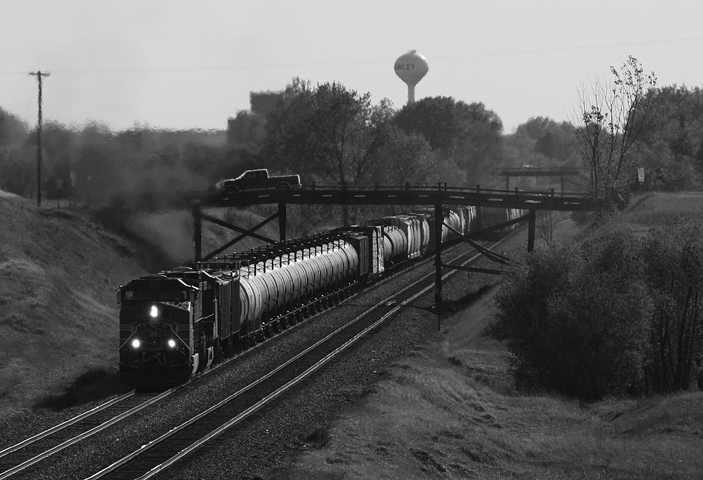
Loads Meet Stacks at Hawley
Meeting under the Wooden Bridges
20150810-192151-39
20150810-192043-35
One last boatride before we head back to the MSP
20150810-192045-36
BNSF 4592 - Hawley, MN

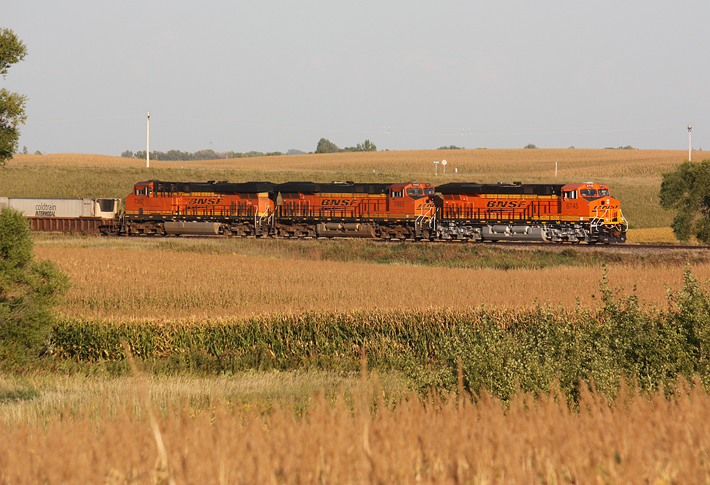
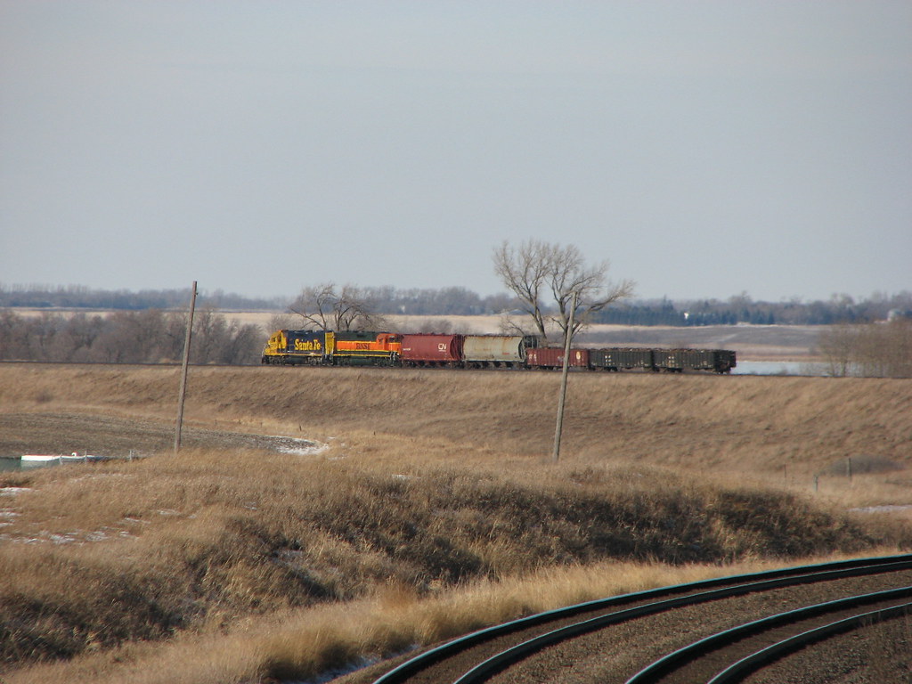
Empire Builder along the Prairie

Trees for the forrest

Calm morning on Sugar Island

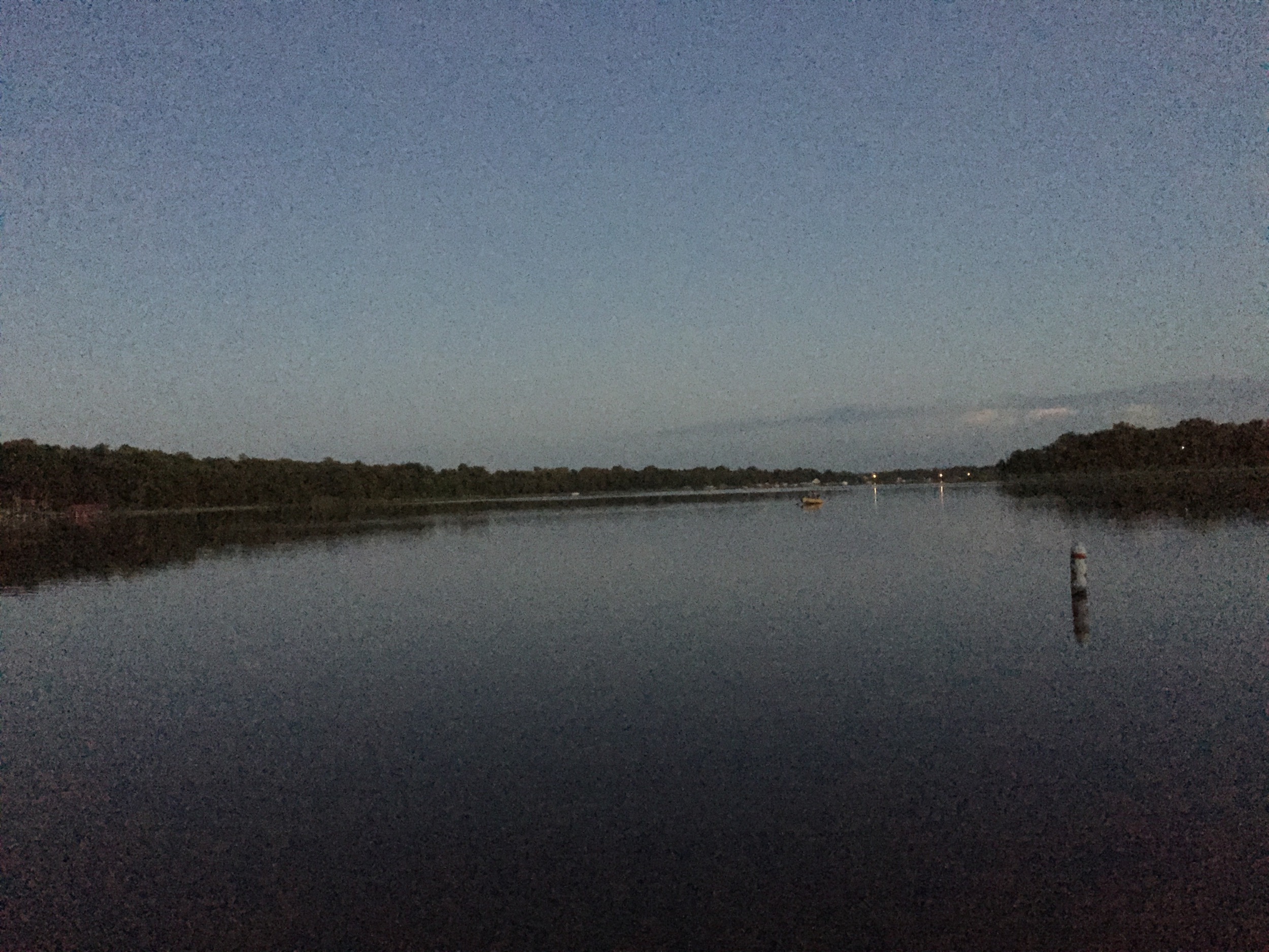
Sunset Long Lake

#minnesotaoutdoors #januarysunset #onlyinmn #ontheroadagain

#minnesota #sunsets #sundayfunday

Mt. Muller Teaser
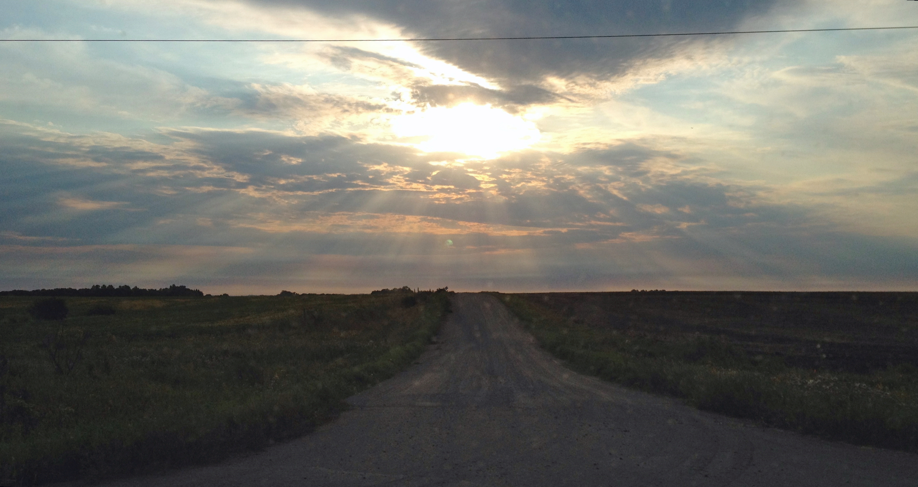
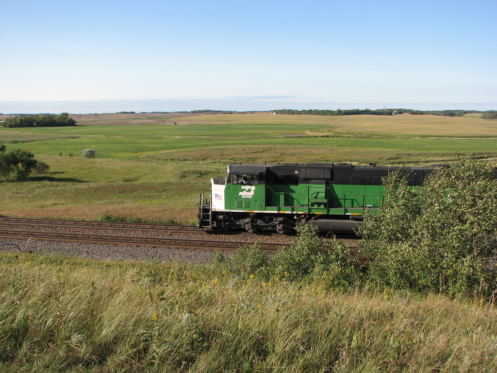
Across the field

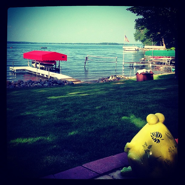
A beautiful evening at the lake!
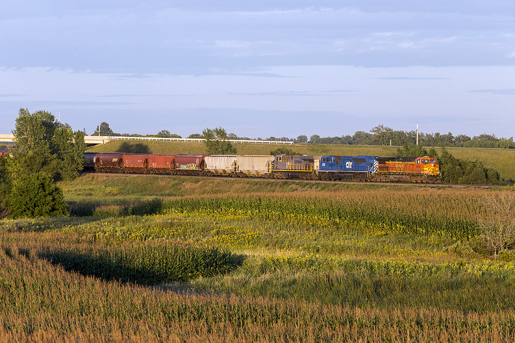
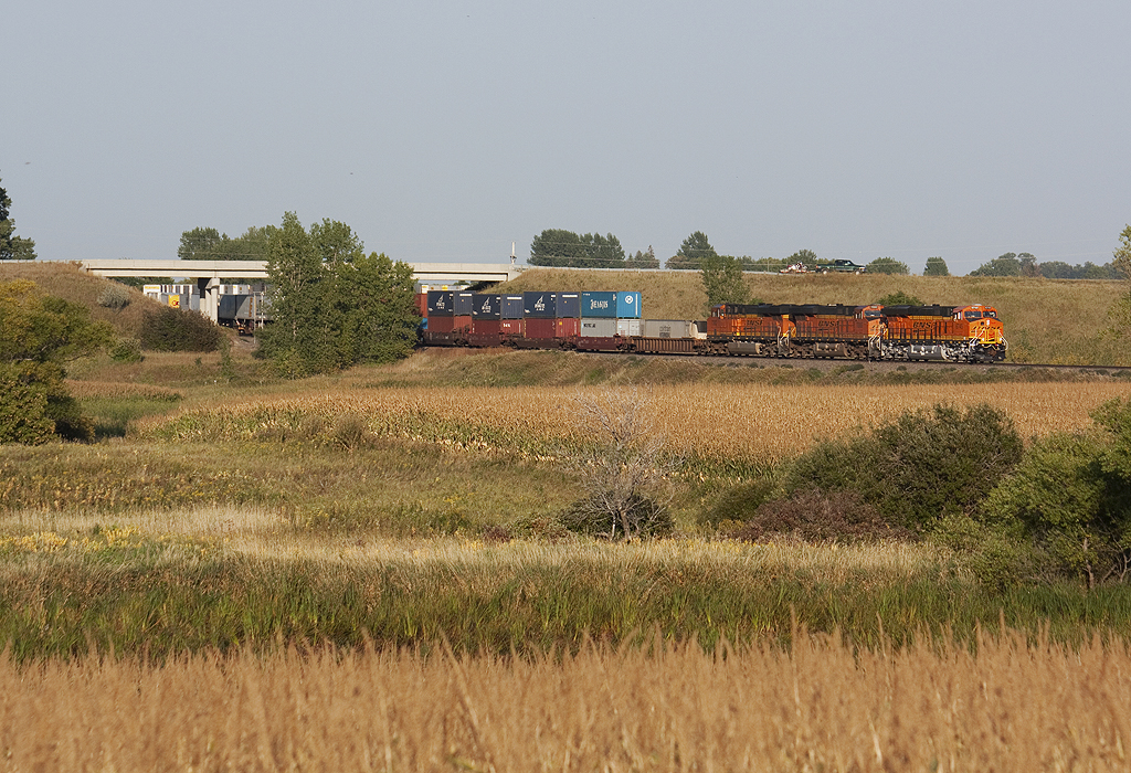
New, Newer, and Newest at Hawley
Looking across the field...

Green Birch
IMG_1789.JPG
Across the Corn and Under Hwy 32
IMG_1356.JPG
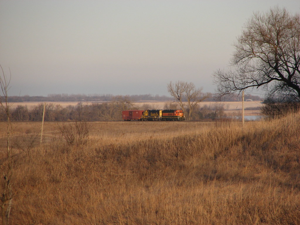
EMD SD60 - Lake Park, MN
Topographic Map of US-10, Lake Park, MN, USA
Find elevation by address:

Places near US-10, Lake Park, MN, USA:
Lake Park
Lake Park Fire Department
Lakeview Drive
16491 192 St
Us-10 & Co Hwy 1
Lake Park Township
Leaf Lake
Bijou Lake
Big Cormorant Lake
Cormorant Township
Middle Cormorant Lake
13489 310 St
Co Hwy 5, Pelican Rapids, MN, USA
Lake Eunice Township
Atlanta Township
Westbury
US-10, Detroit Lakes, MN, USA
23649 Us-59
Long Lake Drive
Callaway
Recent Searches:
- Elevation of Tenjo, Cundinamarca, Colombia
- Elevation of Côte-des-Neiges, Montreal, QC H4A 3J6, Canada
- Elevation of Bobcat Dr, Helena, MT, USA
- Elevation of Zu den Ihlowbergen, Althüttendorf, Germany
- Elevation of Badaber, Peshawar, Khyber Pakhtunkhwa, Pakistan
- Elevation of SE Heron Loop, Lincoln City, OR, USA
- Elevation of Slanický ostrov, 01 Námestovo, Slovakia
- Elevation of Spaceport America, Co Rd A, Truth or Consequences, NM, USA
- Elevation of Warwick, RI, USA
- Elevation of Fern Rd, Whitmore, CA, USA