Elevation of MN-32, Detroit Lakes, MN, USA
Location: United States > Minnesota > Clay County >
Longitude: -96.237723
Latitude: 46.739981
Elevation: 416m / 1365feet
Barometric Pressure: 96KPa
Elevation Map:
Satellite Map:
Related Photos:
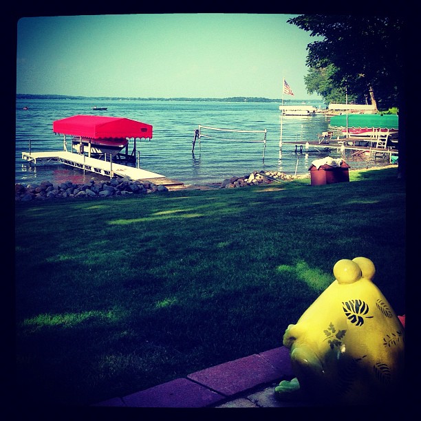
Clarice enjoying the view! @jakecoffey

Rollag Sawmill

365-012b

Sailboat // 8 of 365

#minnesotaoutdoors #januarysunset #onlyinmn #ontheroadagain
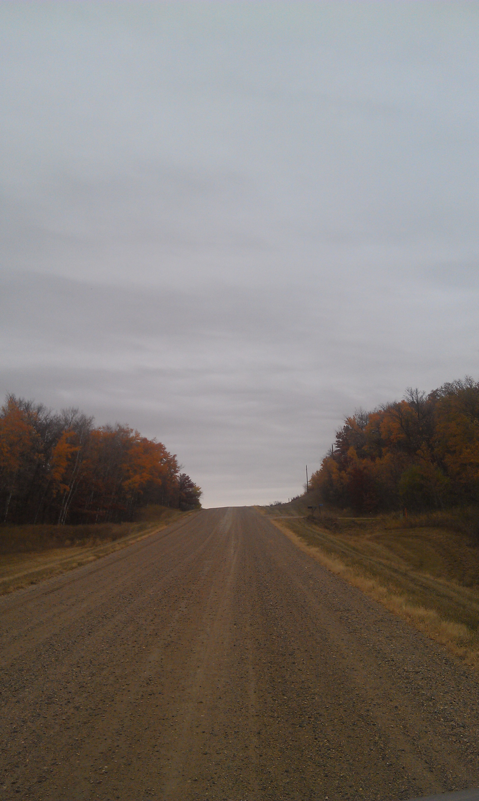
CR 37

Nehalennia irene

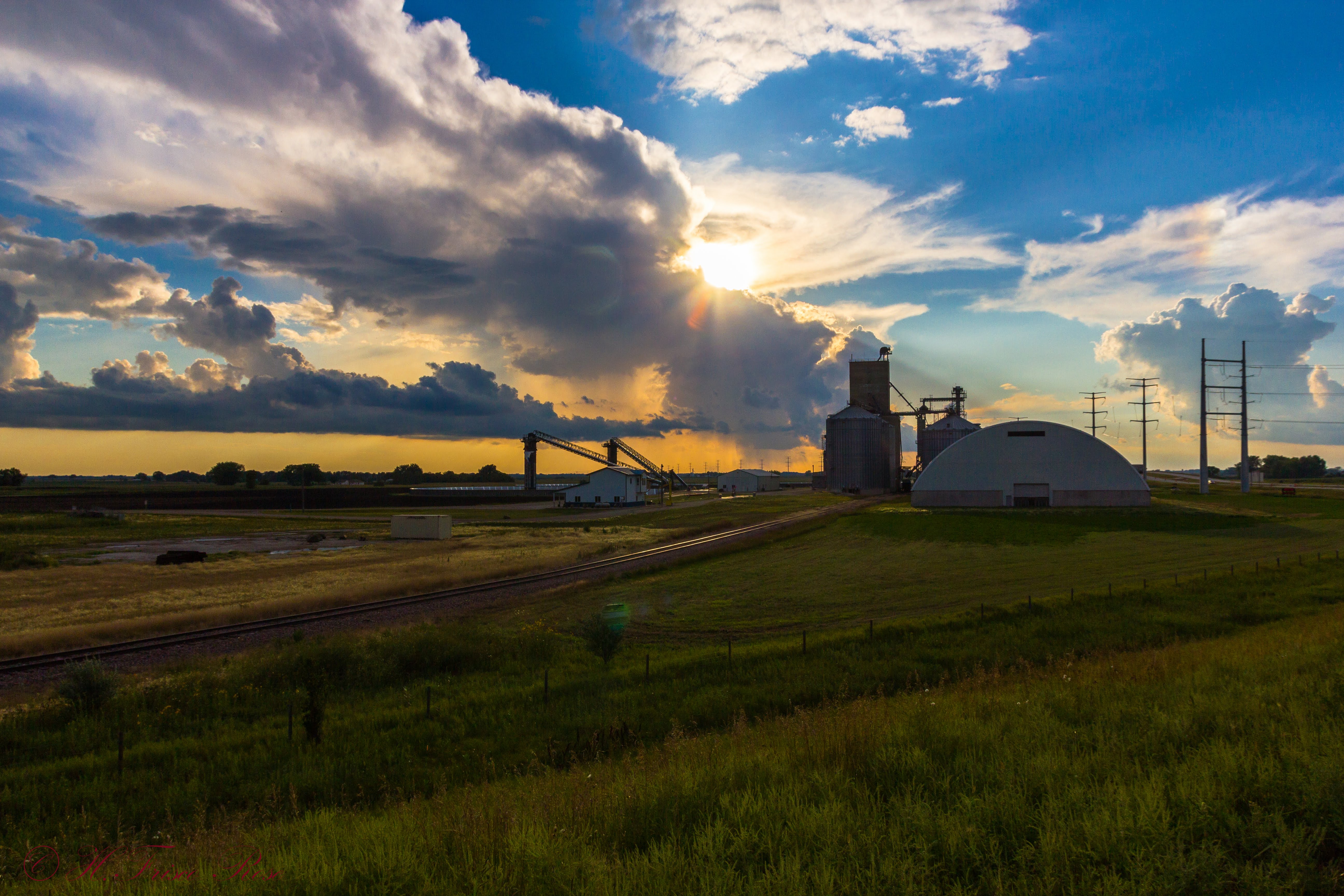
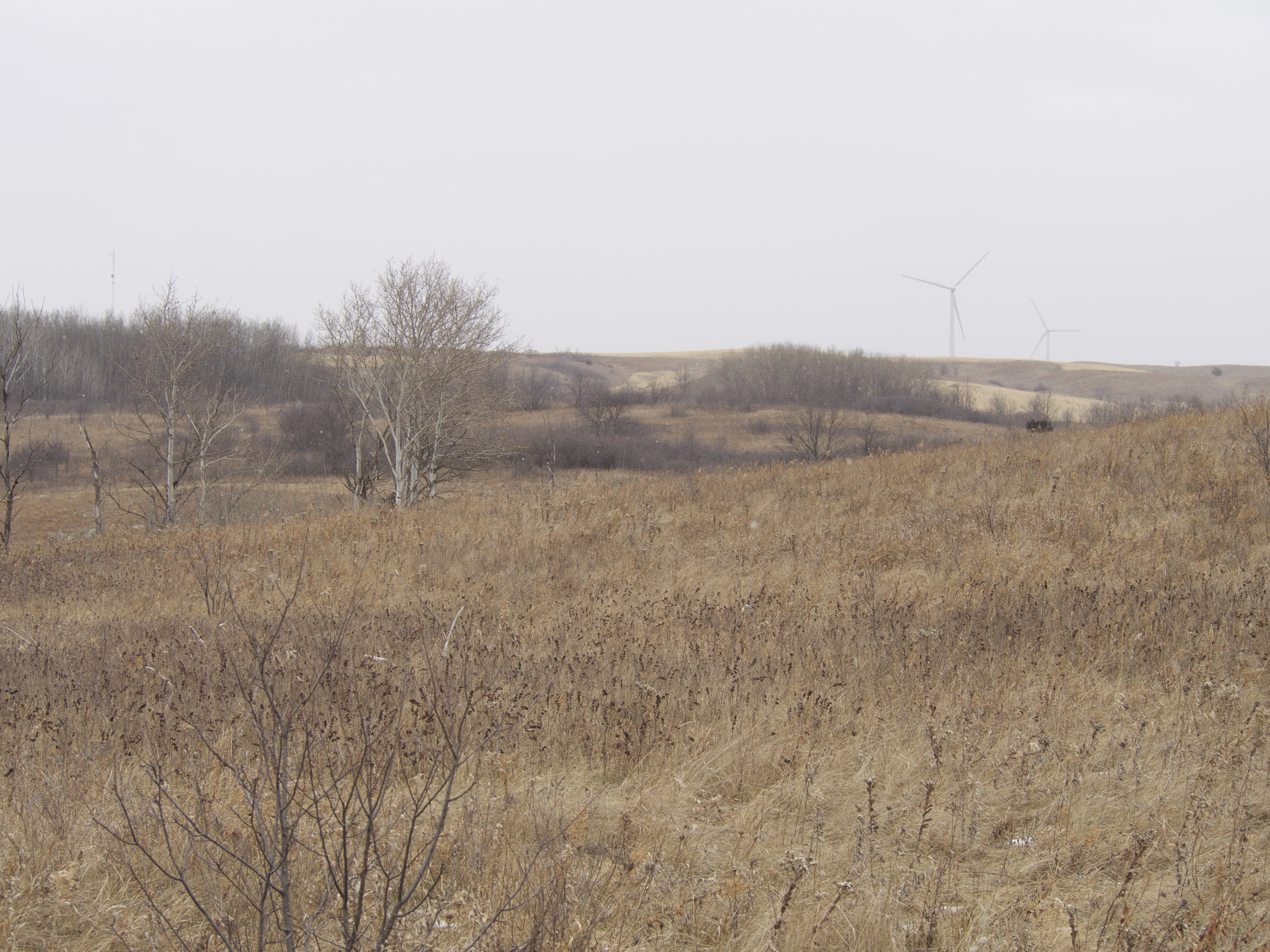
Prairie, Horizon, Showers

3288 Farm Scene
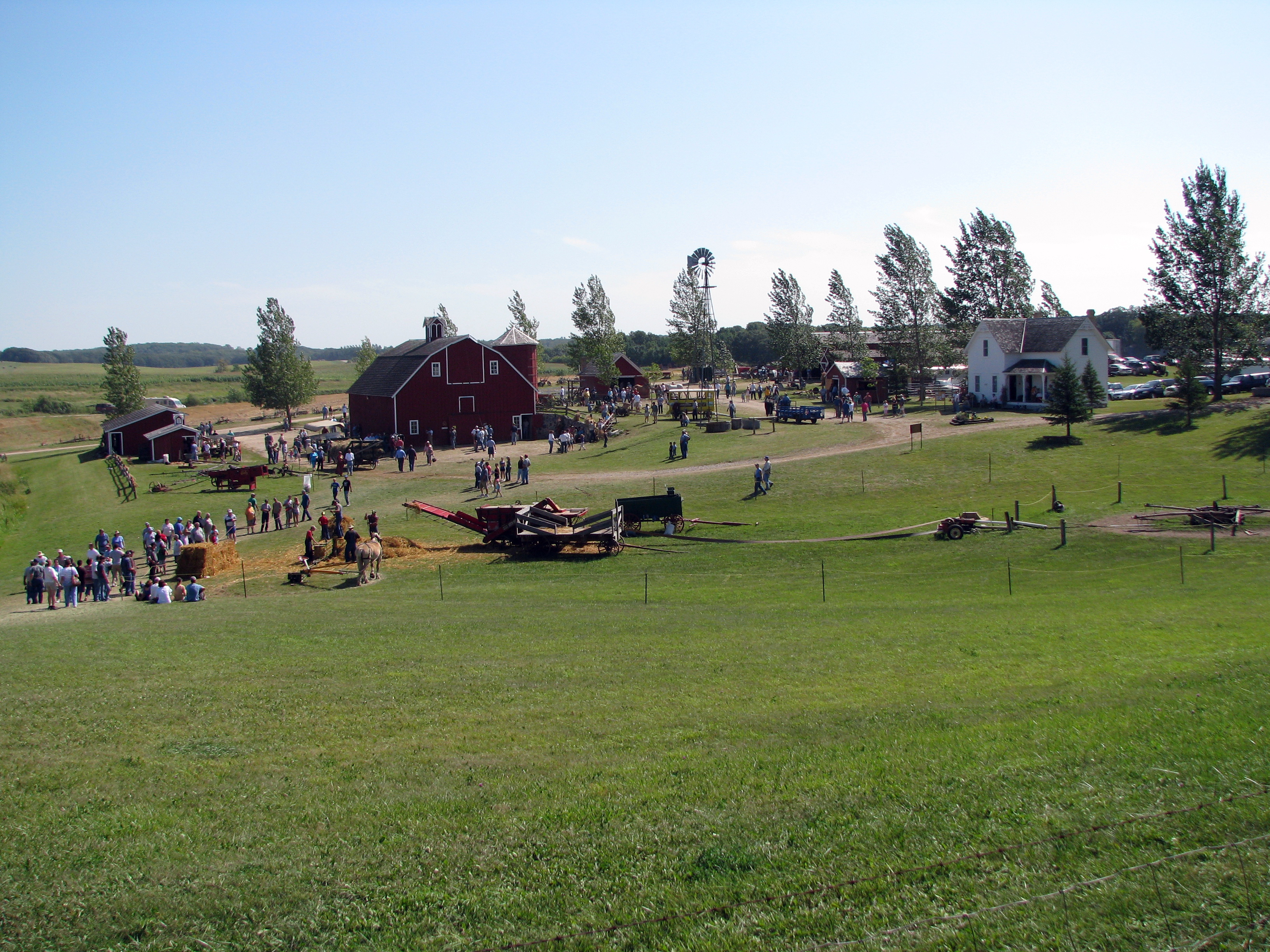
3294a Farm Scene

Sympetrum costiferum
Barnesville Township, MN 56514, USA
Blanket Flower Prairie SNA
Topographic Map of MN-32, Detroit Lakes, MN, USA
Find elevation by address:

Places near MN-32, Detroit Lakes, MN, USA:
Parke Township
9531 280th St S
26321 70th Ave S
22428 120th Ave S
Bijou Lake
Middle Cormorant Lake
Cormorant Township
15523 443rd St
Lake Park Township
Main St, Hawley, MN, USA
Hawley
Hawley Township
Us-10 & Co Hwy 1
Co Hwy 5, Pelican Rapids, MN, USA
Big Cormorant Lake
Pelican Township
Lakeview Drive
2nd Ave SE, Rothsay, MN, USA
Barnesville
Lake Park Fire Department
Recent Searches:
- Elevation of Bernina Dr, Lake Arrowhead, CA, USA
- Elevation of N 82nd Pl, Mesa, AZ, USA
- Elevation of Snake Hill Rd, North Scituate, RI, USA
- Elevation of Lake Shore Dr, Warwick, RI, USA
- Elevation of E Brightview Ave, Pittsburgh, PA, USA
- Elevation of Cavendish Rd, Harringay Ladder, London N4 1RR, UK
- Elevation of 1 Zion Park Blvd, Springdale, UT, USA
- Elevation of Ganderbal
- Elevation map of Konkan Division, Maharashtra, India
- Elevation of Netaji Nagar, Hallow Pul, Kurla, Mumbai, Maharashtra, India