Elevation of 70th Ave S, Hawley, MN, USA
Location: United States > Minnesota > Clay County > Hawley >
Longitude: -96.254446
Latitude: 46.7862535
Elevation: 402m / 1319feet
Barometric Pressure: 97KPa
Elevation Map:
Satellite Map:
Related Photos:
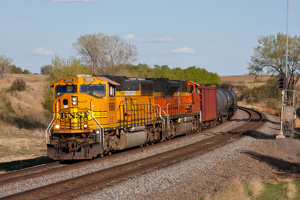
BNSF 9888 - Mt. Muller

BNSF 6707 west at Lake Park, MN

365-012b
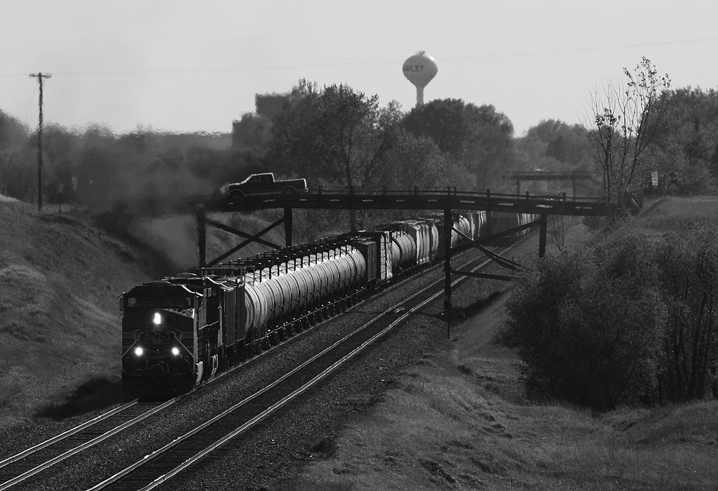
Meeting under the Wooden Bridges

Rollag Sawmill
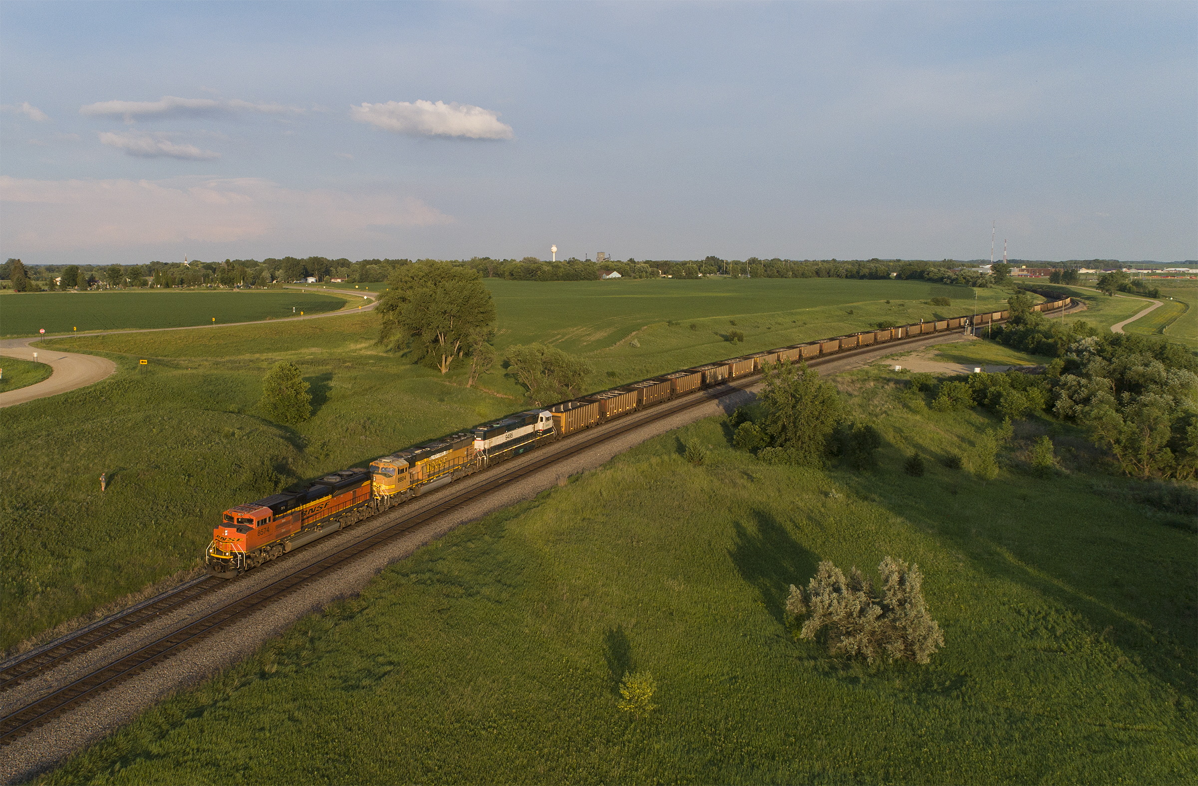
BNSF 8574 - Coal Empties - Lake Park, MN
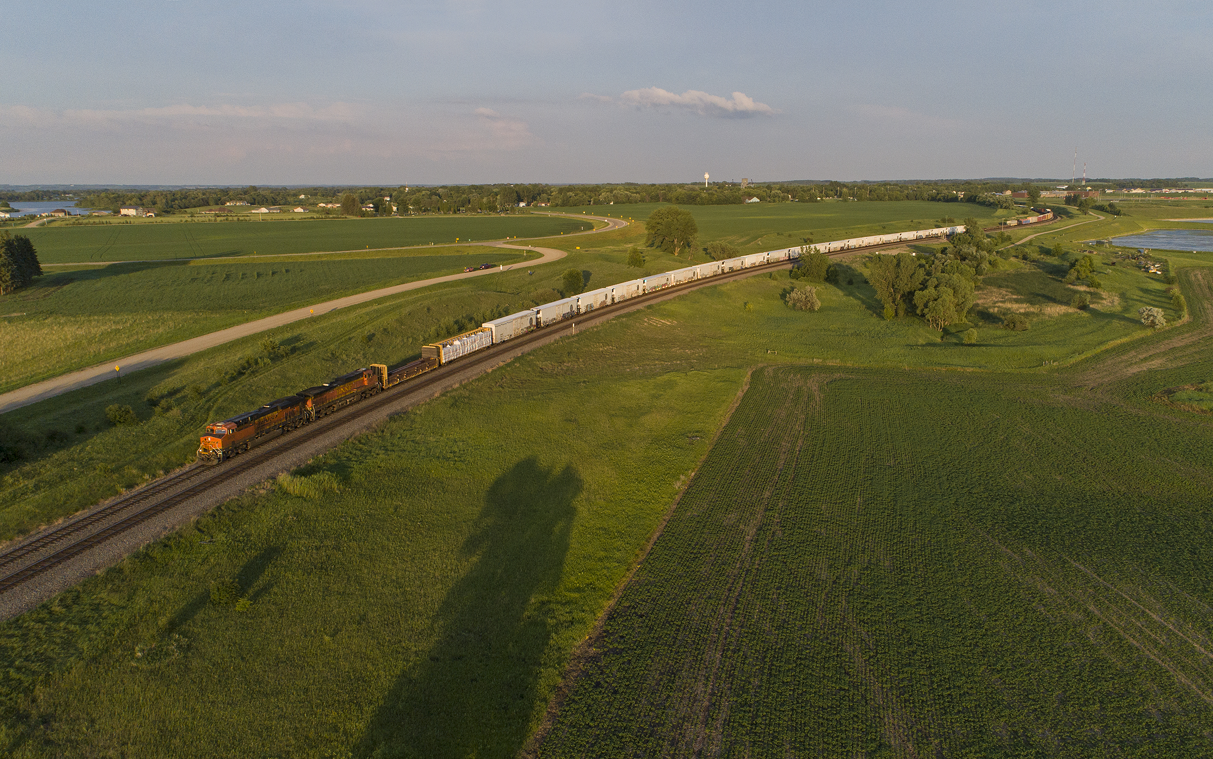
BNSF Westbound Manifest - Lake Park, MN

SOO 353 along Gunderson Pond, Rollag, MN

Empire Builder along the Prairie
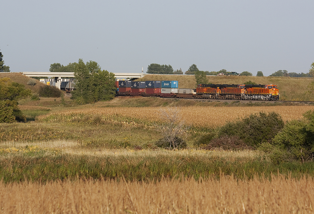
New, Newer, and Newest at Hawley

Coal Empties - Lake Park, MN
BNSF 9701 - Rock Train - Lake Park, MN
IMG_12550-1
CR 37
Across the Corn and Under Hwy 32

Nehalennia irene
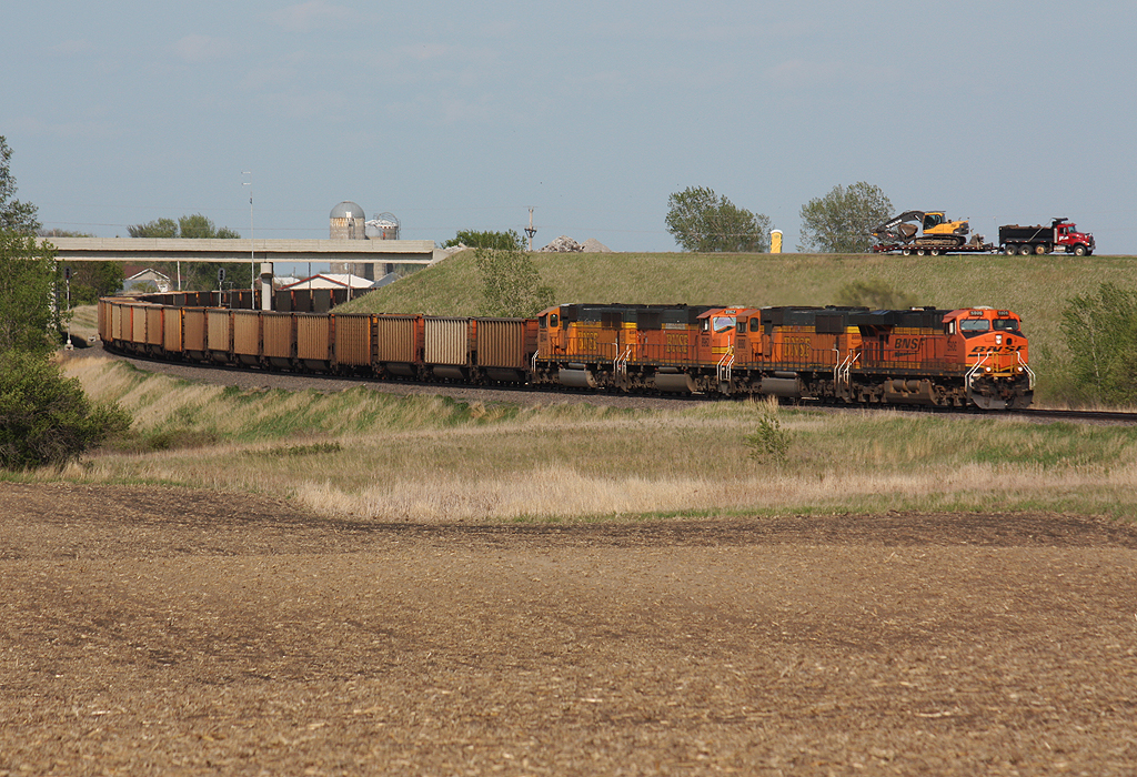
Big Power on Coal Empties

Prairie, Horizon, Showers

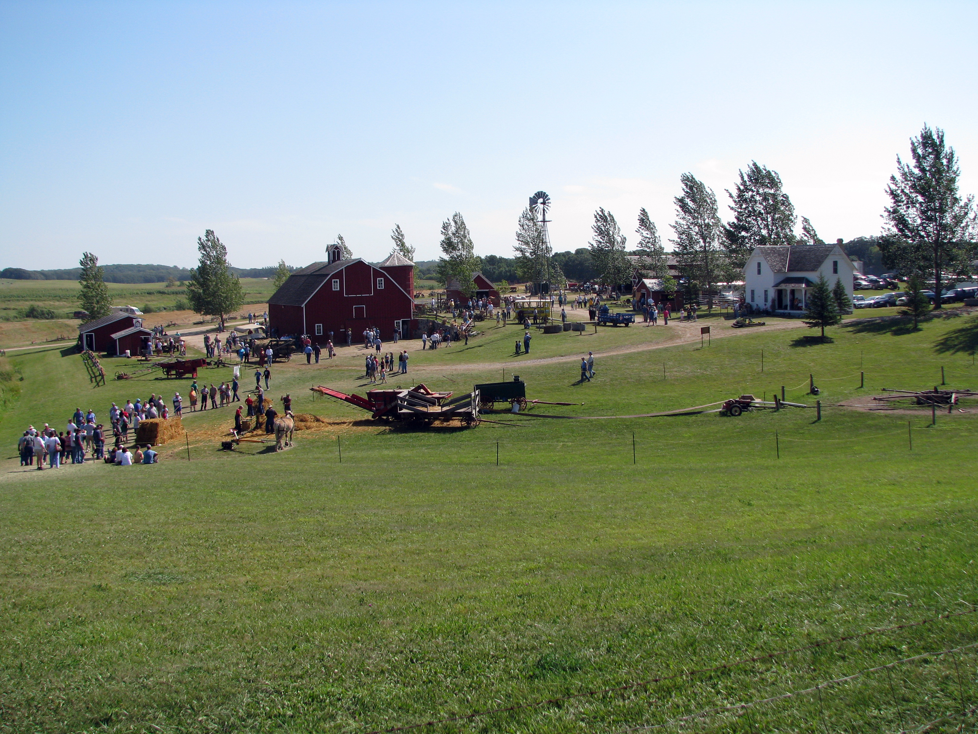
3288 Farm Scene
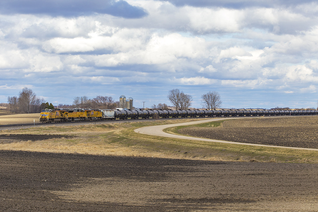
UP 7638 - Manitoba Junction
Blanket Flower Prairie SNA
3294a Farm Scene
Topographic Map of 70th Ave S, Hawley, MN, USA
Find elevation by address:

Places near 70th Ave S, Hawley, MN, USA:
Parke Township
9531 280th St S
MN-32, Detroit Lakes, MN, USA
22428 120th Ave S
Main St, Hawley, MN, USA
Hawley
Bijou Lake
Hawley Township
Lake Park Township
Us-10 & Co Hwy 1
Middle Cormorant Lake
Cormorant Township
12th Ave S, Hawley, MN, USA
Lakeview Drive
Lake Park Fire Department
Lake Park
Big Cormorant Lake
52 W Front St, Hitterdal, MN, USA
Clay County
Co Hwy 5, Pelican Rapids, MN, USA
Recent Searches:
- Elevation of Shibuya Scramble Crossing, 21 Udagawacho, Shibuya City, Tokyo -, Japan
- Elevation of Jadagoniai, Kaunas District Municipality, Lithuania
- Elevation of Pagonija rock, Kranto 7-oji g. 8"N, Kaunas, Lithuania
- Elevation of Co Rd 87, Jamestown, CO, USA
- Elevation of Tenjo, Cundinamarca, Colombia
- Elevation of Côte-des-Neiges, Montreal, QC H4A 3J6, Canada
- Elevation of Bobcat Dr, Helena, MT, USA
- Elevation of Zu den Ihlowbergen, Althüttendorf, Germany
- Elevation of Badaber, Peshawar, Khyber Pakhtunkhwa, Pakistan
- Elevation of SE Heron Loop, Lincoln City, OR, USA