Elevation of th St S, Hawley, MN, USA
Location: United States > Minnesota > Clay County > Parke Township >
Longitude: -96.221385
Latitude: 46.753055
Elevation: 424m / 1391feet
Barometric Pressure: 96KPa
Elevation Map:
Satellite Map:
Related Photos:

Clarice enjoying the view! @jakecoffey

365-012b

Rollag Sawmill

SOO 353 along Gunderson Pond, Rollag, MN

#minnesotaoutdoors #januarysunset #onlyinmn #ontheroadagain

#minnesota #sunsets #sundayfunday

Fall Sunset

A beautiful evening at the lake!

Sailboat // 8 of 365

3288 Farm Scene
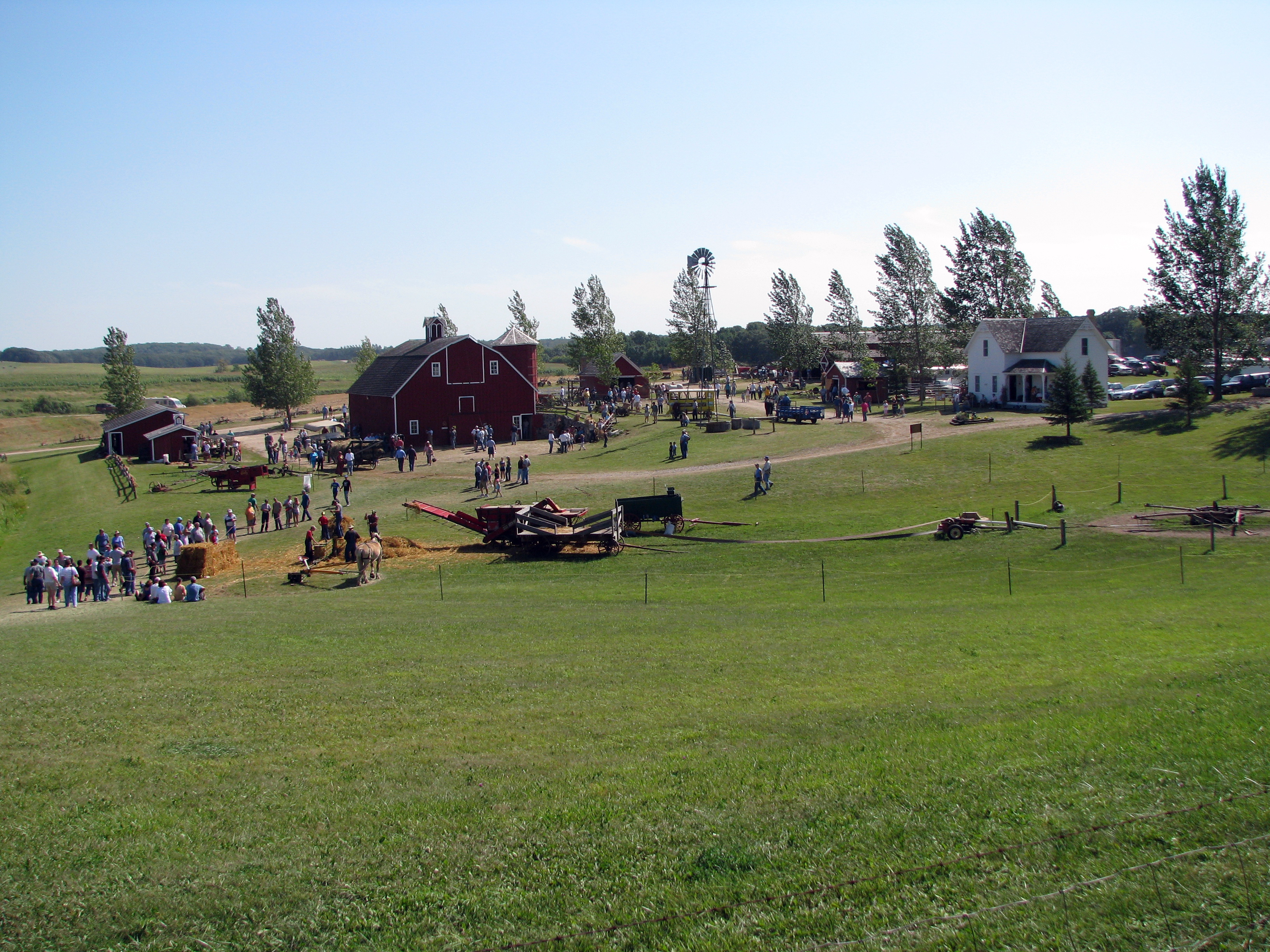
3294a Farm Scene
Blanket Flower Prairie SNA

Nehalennia irene

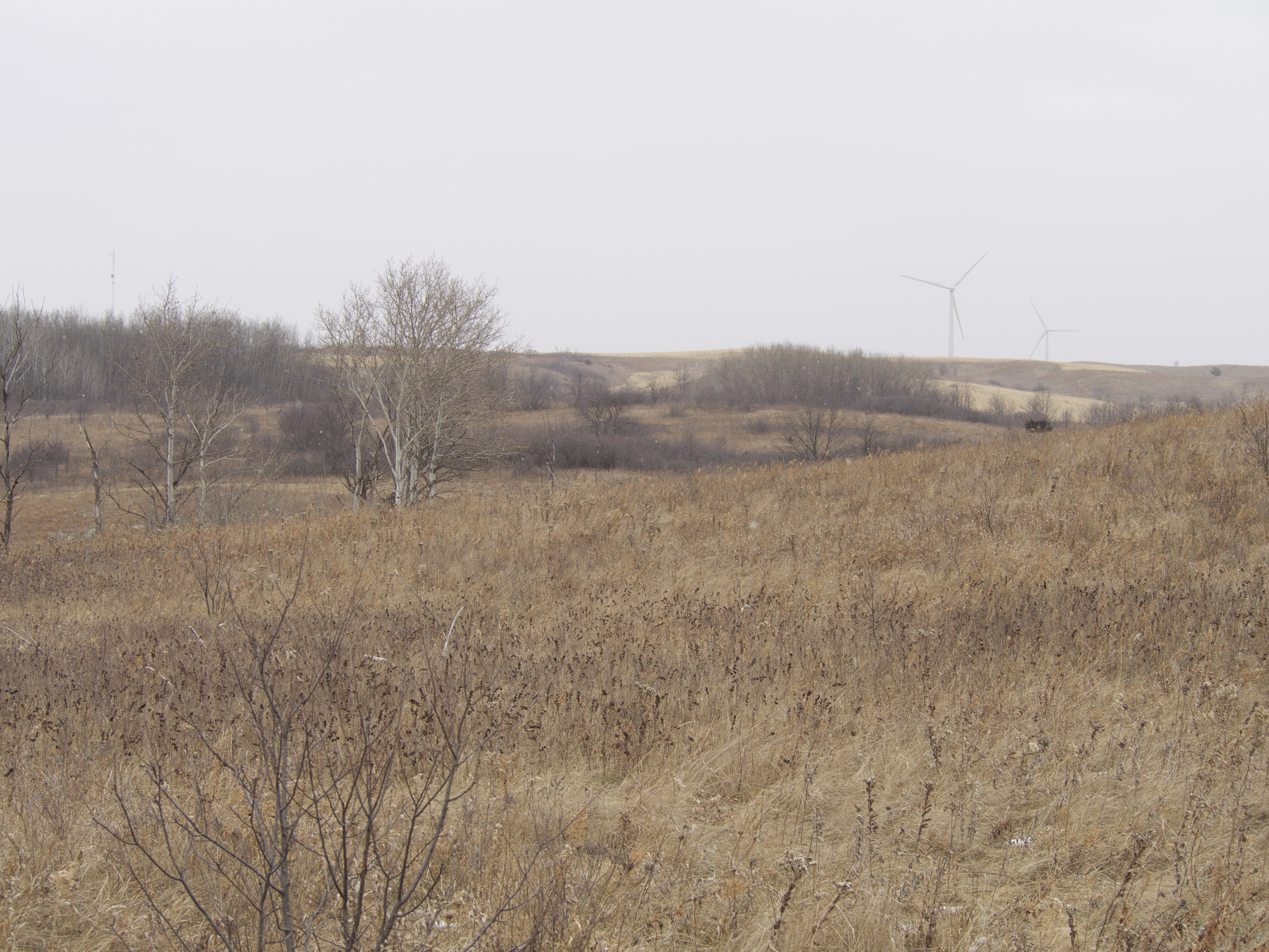
CR 37
Topographic Map of th St S, Hawley, MN, USA
Find elevation by address:

Places near th St S, Hawley, MN, USA:
Parke Township
MN-32, Detroit Lakes, MN, USA
26321 70th Ave S
Bijou Lake
Middle Cormorant Lake
Cormorant Township
22428 120th Ave S
Lake Park Township
Us-10 & Co Hwy 1
15523 443rd St
Co Hwy 5, Pelican Rapids, MN, USA
Big Cormorant Lake
Main St, Hawley, MN, USA
Hawley
Hawley Township
Lakeview Drive
Pelican Township
Lake Park Fire Department
Lake Park
16491 192 St
Recent Searches:
- Elevation of Tenjo, Cundinamarca, Colombia
- Elevation of Côte-des-Neiges, Montreal, QC H4A 3J6, Canada
- Elevation of Bobcat Dr, Helena, MT, USA
- Elevation of Zu den Ihlowbergen, Althüttendorf, Germany
- Elevation of Badaber, Peshawar, Khyber Pakhtunkhwa, Pakistan
- Elevation of SE Heron Loop, Lincoln City, OR, USA
- Elevation of Slanický ostrov, 01 Námestovo, Slovakia
- Elevation of Spaceport America, Co Rd A, Truth or Consequences, NM, USA
- Elevation of Warwick, RI, USA
- Elevation of Fern Rd, Whitmore, CA, USA