Elevation of State Hwy 11, Hillsboro, GA, USA
Location: United States > Georgia > Jasper County > Hillsboro >
Longitude: -83.642914
Latitude: 33.181787
Elevation: 192m / 630feet
Barometric Pressure: 99KPa
Elevation Map:
Satellite Map:
Related Photos:

Common Yellowthroat
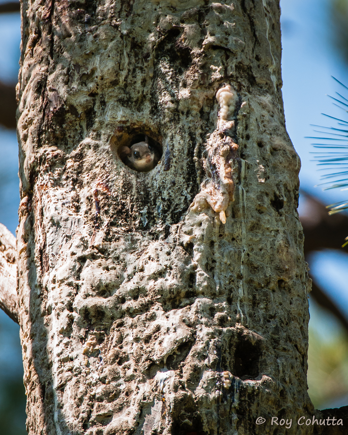
Red-cockaded Nest Tree with Flying Squirrel
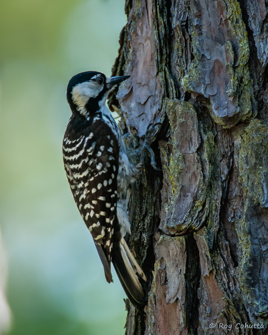
Red-cockaded Woodpecker
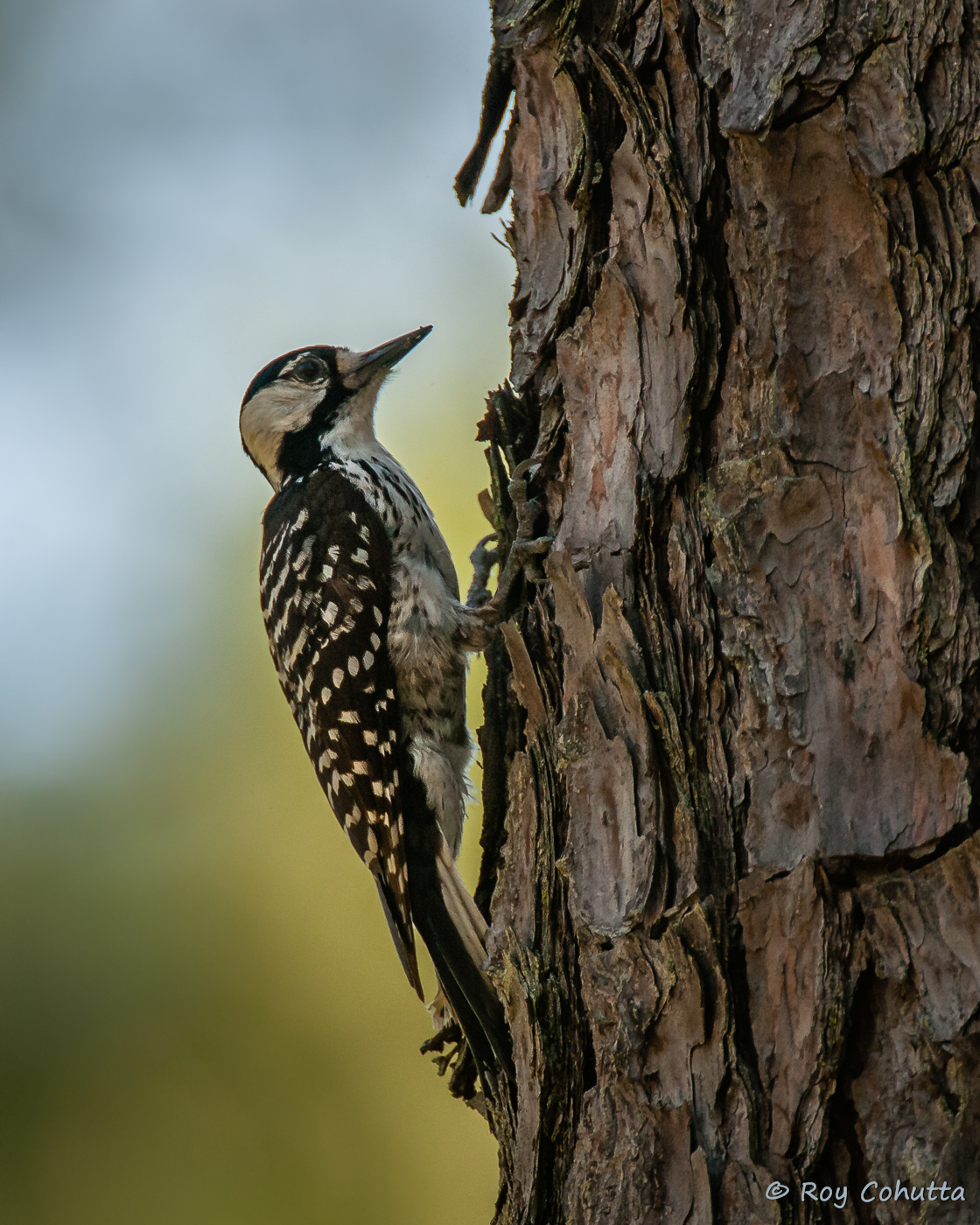
Red-cockaded Woodpecker
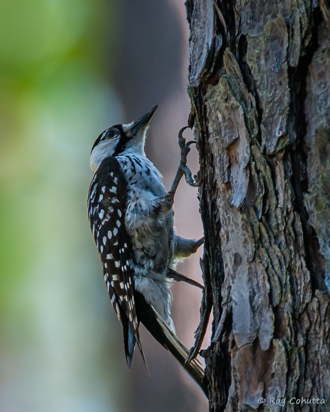
Red-cockaded Woodpecker
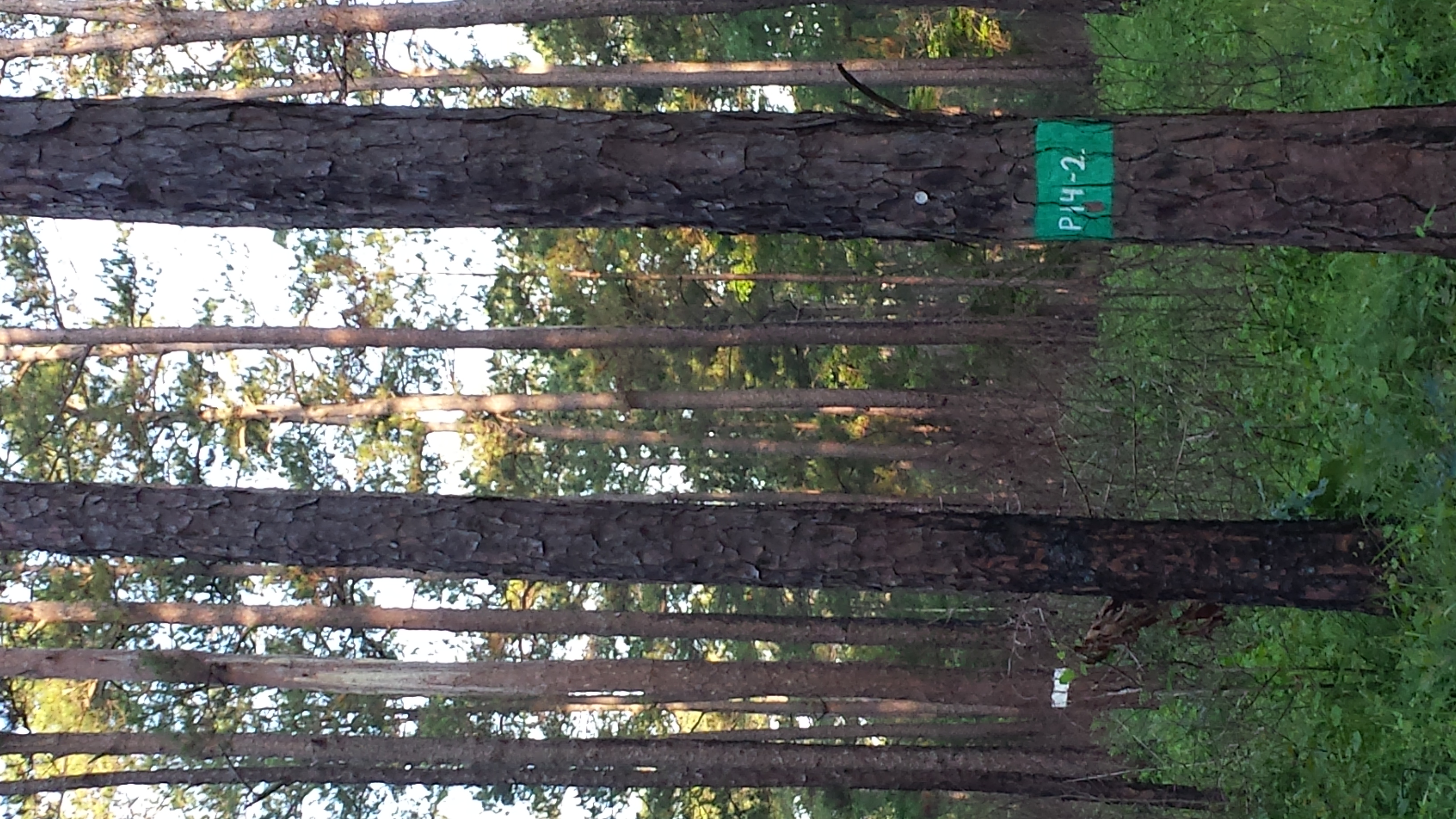
Red-cockaded Woodpecker habitat
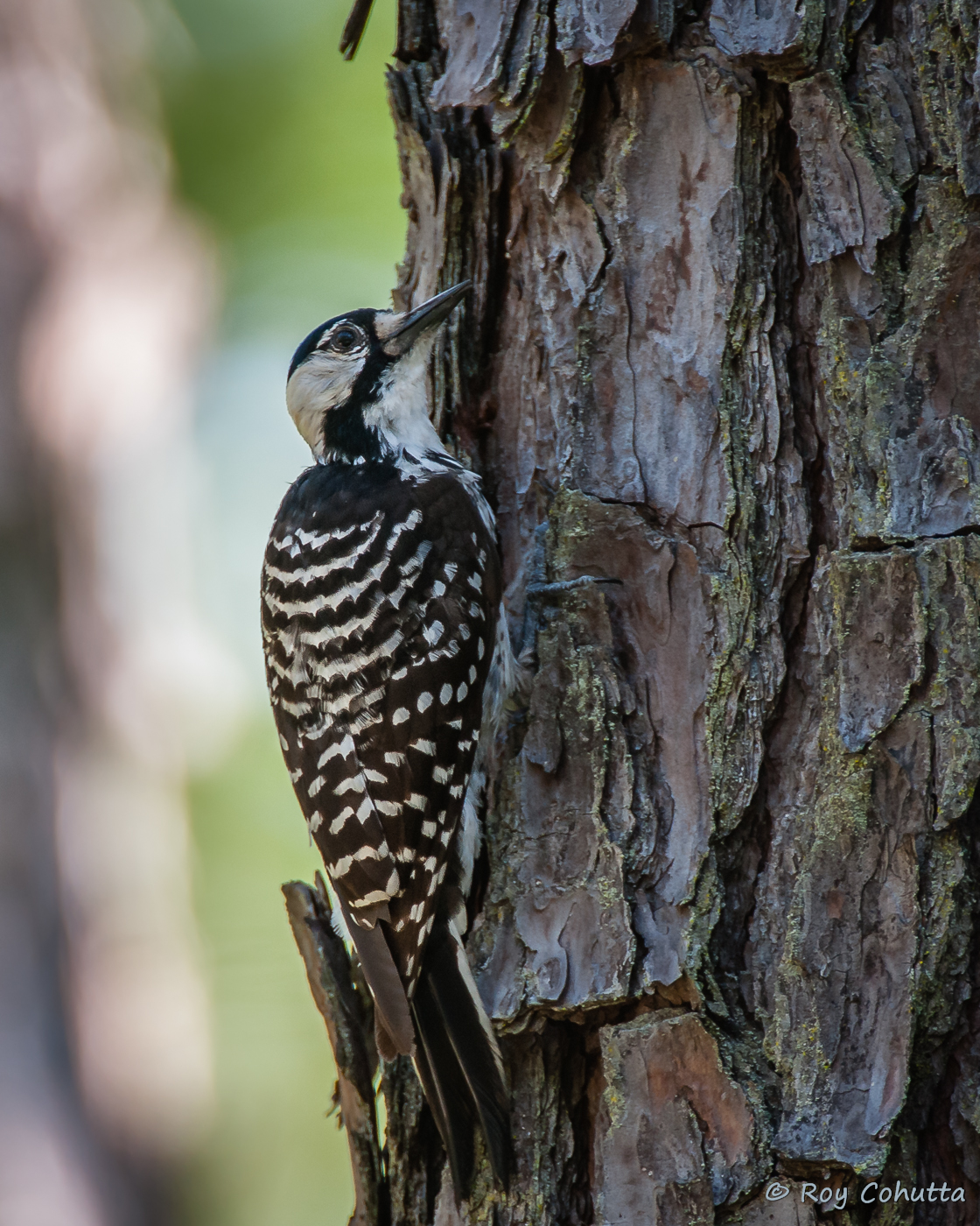
Red-cockaded Woodpecker
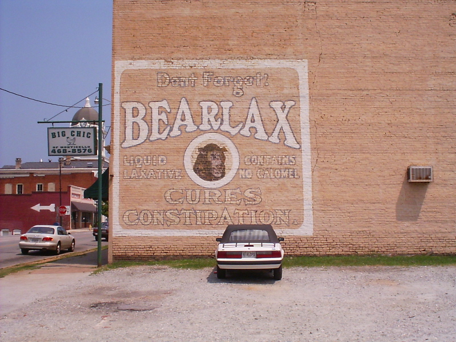
Bearlax Historic Wall Ad View 2
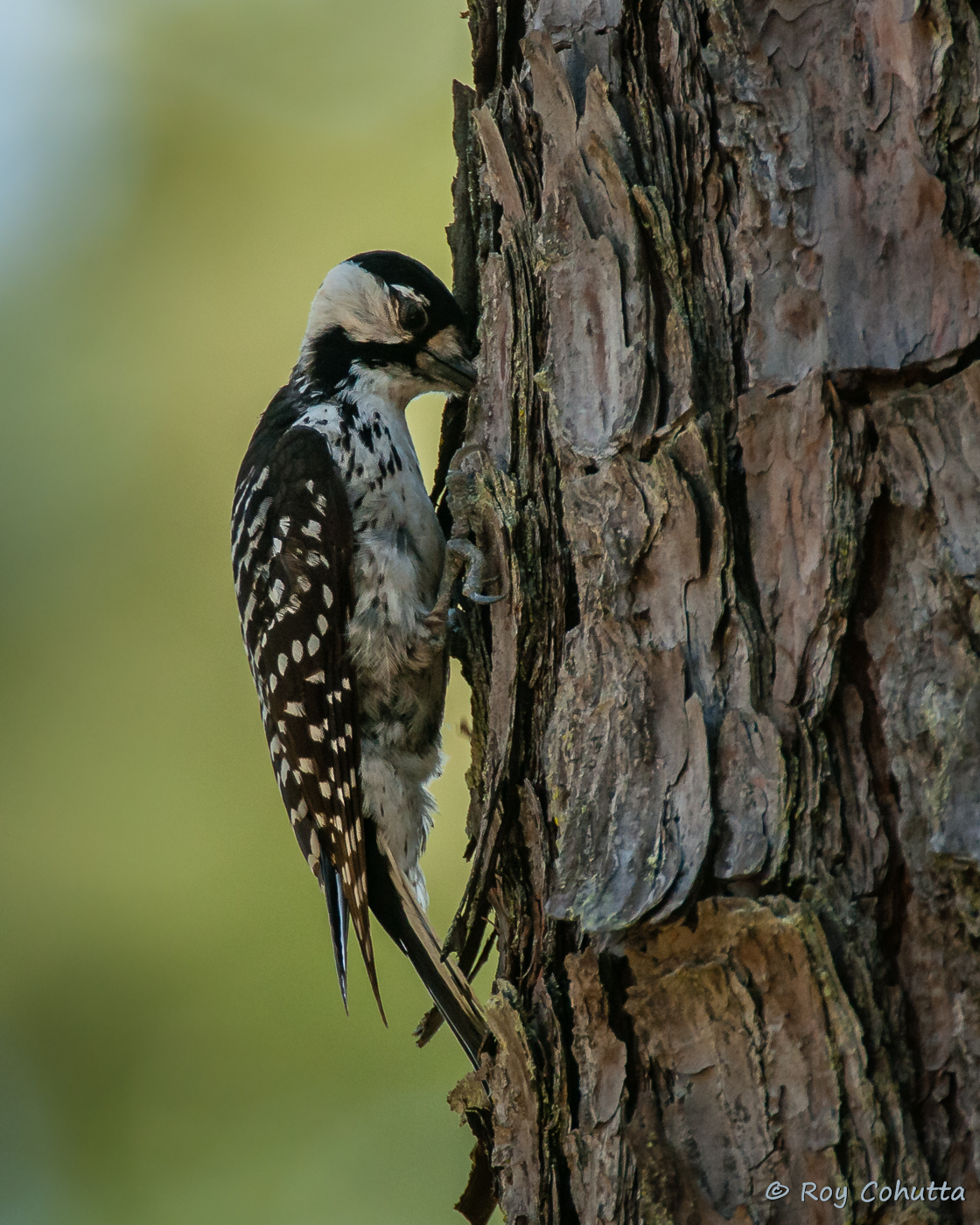
Red-cockaded Woodpecker
Hillsboro neg SWWA hab
Red-cockaded Woodpecker
Red-cockaded Woodpecker
Red-cockaded Woodpecker
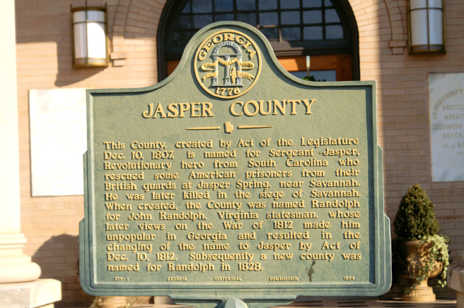
Jasper County GHM 070-1
153-5337_IMG
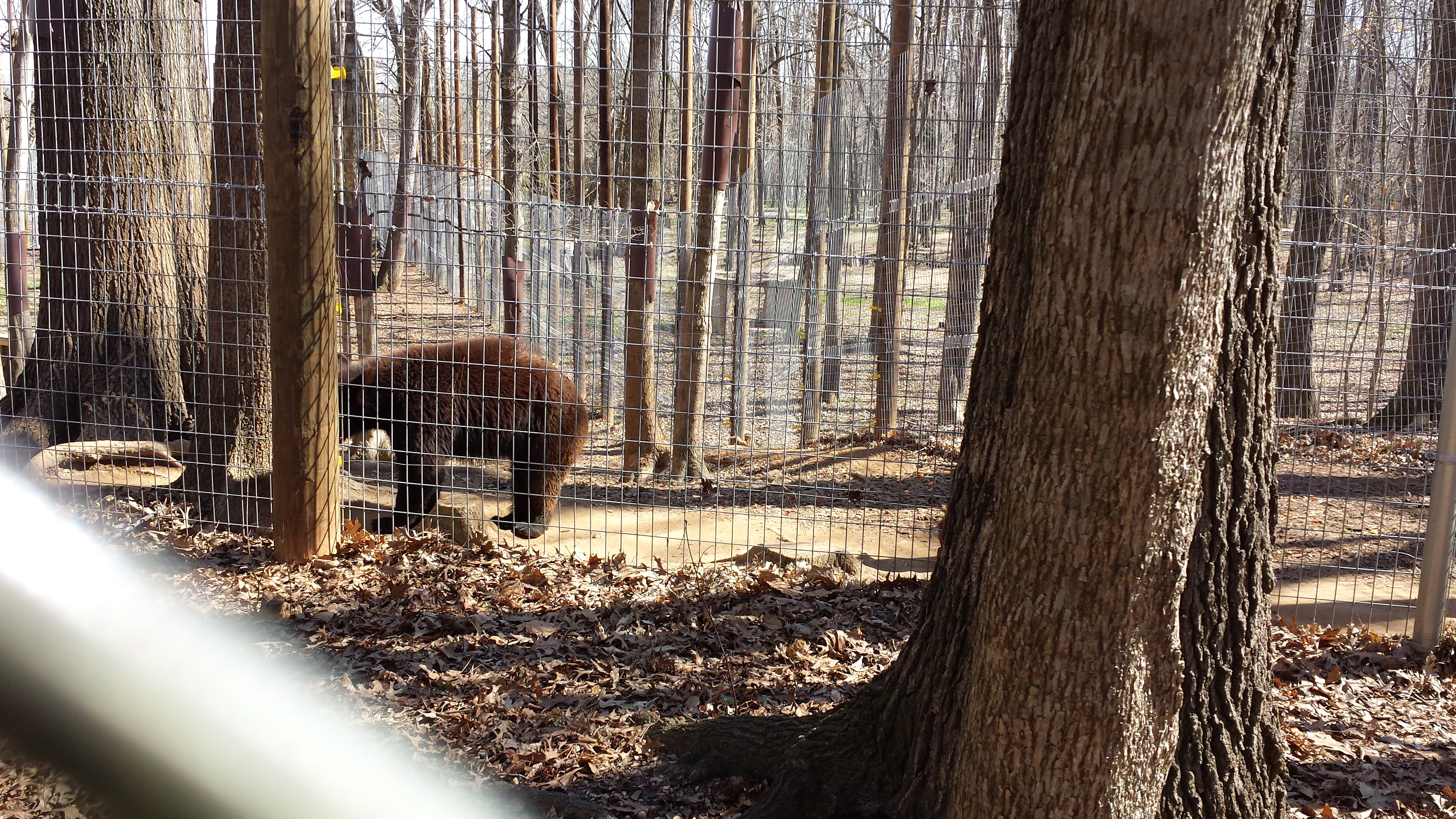
Valentine's Day 2015 - Noahs Ark Animal Sanctuary
153-5335_IMG
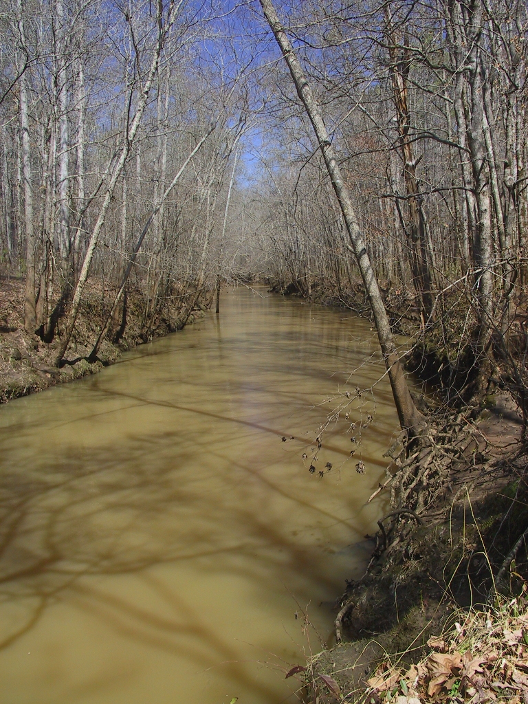
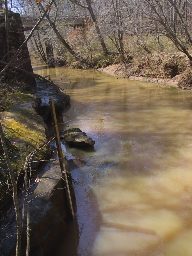
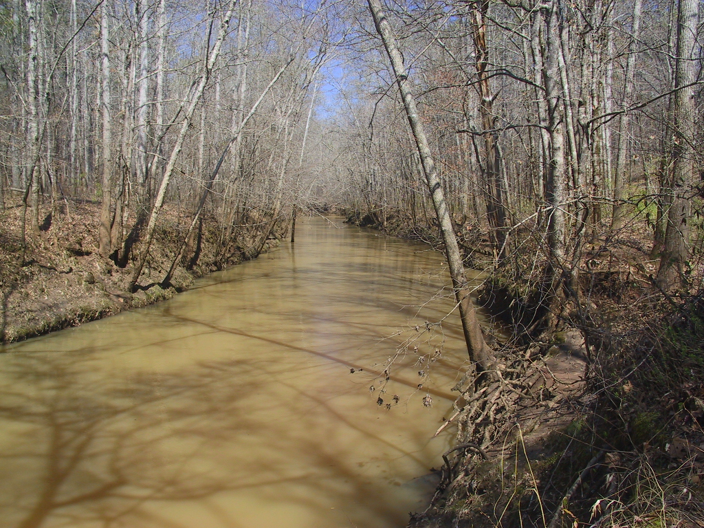
USGS 02212600 FALLING CREEK NEAR JULIETTE, GA
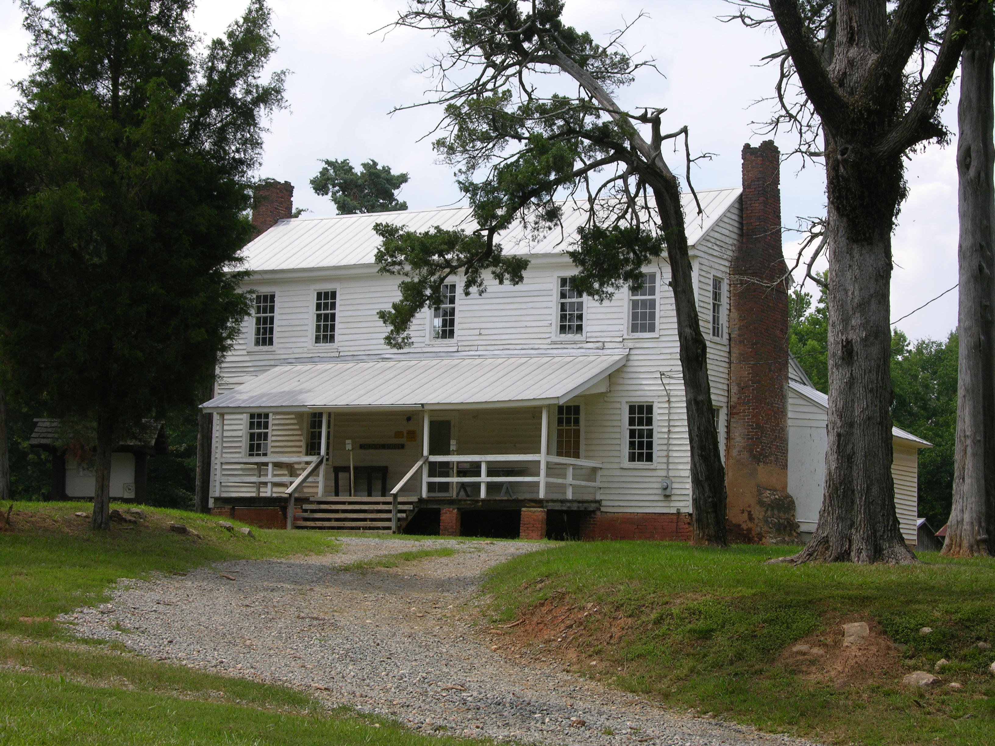
Hwy 11 South
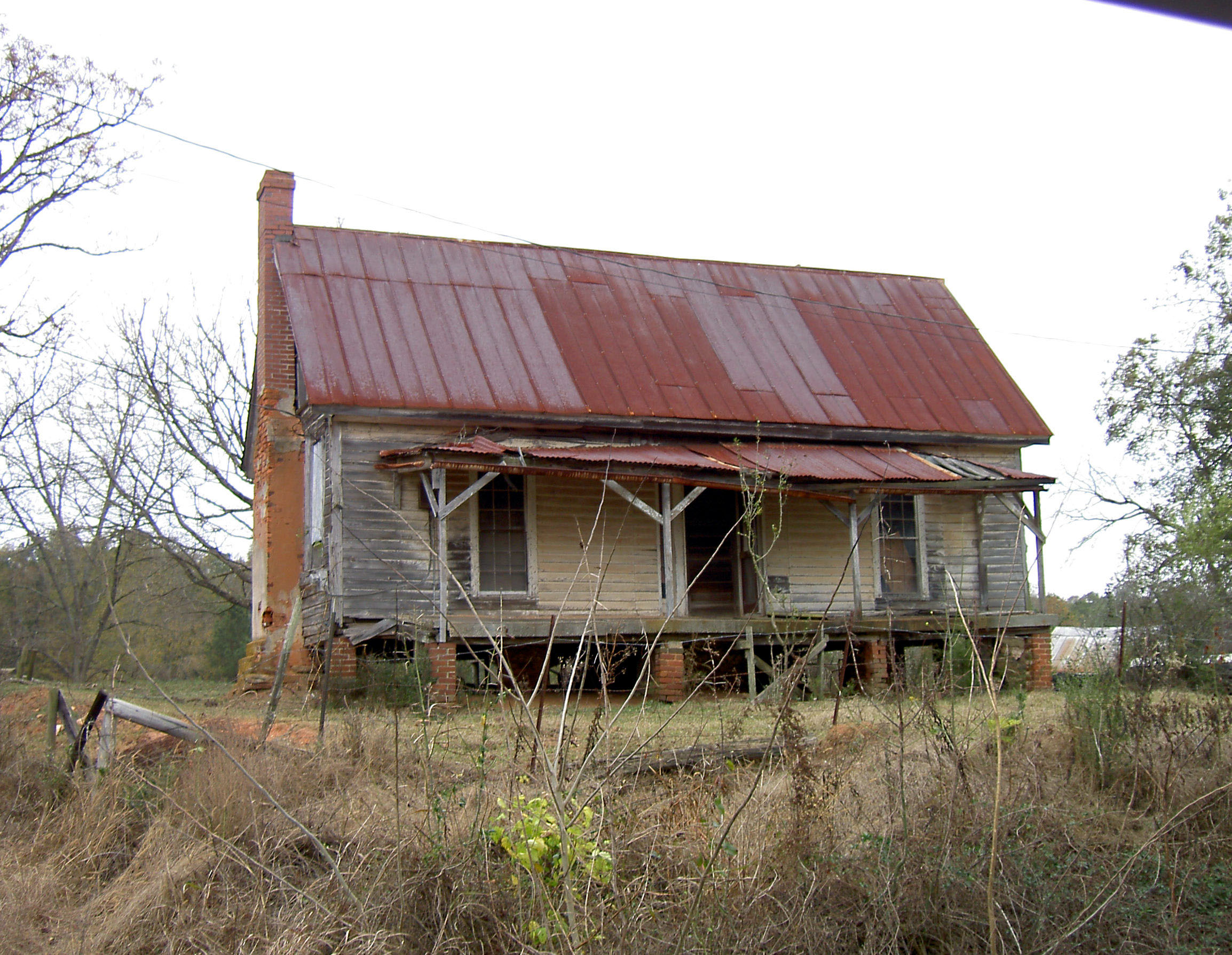
Old Plantation House
Topographic Map of State Hwy 11, Hillsboro, GA, USA
Find elevation by address:

Places near State Hwy 11, Hillsboro, GA, USA:
Hillsboro
865 Hadaway Rd
37 Clay Tillman Rd, Hillsboro, GA, USA
Goolsby Rd, Monticello, GA, USA
Tillman Ln, Round Oak, GA, USA
Round Oak
351 Otis Redding Rd
33 Edwards Rd, Monticello, GA, USA
Monticello
1778 Sprayberry Rd
McElheney Crossroad, Monticello, GA, USA
GA-83, Monticello, GA, USA
1953 Sprayberry Rd
1953 Sprayberry Rd
Post Rd, Monticello, GA, USA
Monticello Hwy, Gray, GA, USA
Jasper County
McCrackin St, Juliette, GA, USA
Juliette
333 Mccrackin St
Recent Searches:
- Elevation of Groblershoop, South Africa
- Elevation of Power Generation Enterprises | Industrial Diesel Generators, Oak Ave, Canyon Country, CA, USA
- Elevation of Chesaw Rd, Oroville, WA, USA
- Elevation of N, Mt Pleasant, UT, USA
- Elevation of 6 Rue Jules Ferry, Beausoleil, France
- Elevation of Sattva Horizon, 4JC6+G9P, Vinayak Nagar, Kattigenahalli, Bengaluru, Karnataka, India
- Elevation of Great Brook Sports, Gold Star Hwy, Groton, CT, USA
- Elevation of 10 Mountain Laurels Dr, Nashua, NH, USA
- Elevation of 16 Gilboa Ln, Nashua, NH, USA
- Elevation of Laurel Rd, Townsend, TN, USA