Elevation of GA-83, Monticello, GA, USA
Location: United States > Georgia > Jasper County > Monticello >
Longitude: -83.78106
Latitude: 33.191855
Elevation: 157m / 515feet
Barometric Pressure: 99KPa
Elevation Map:
Satellite Map:
Related Photos:
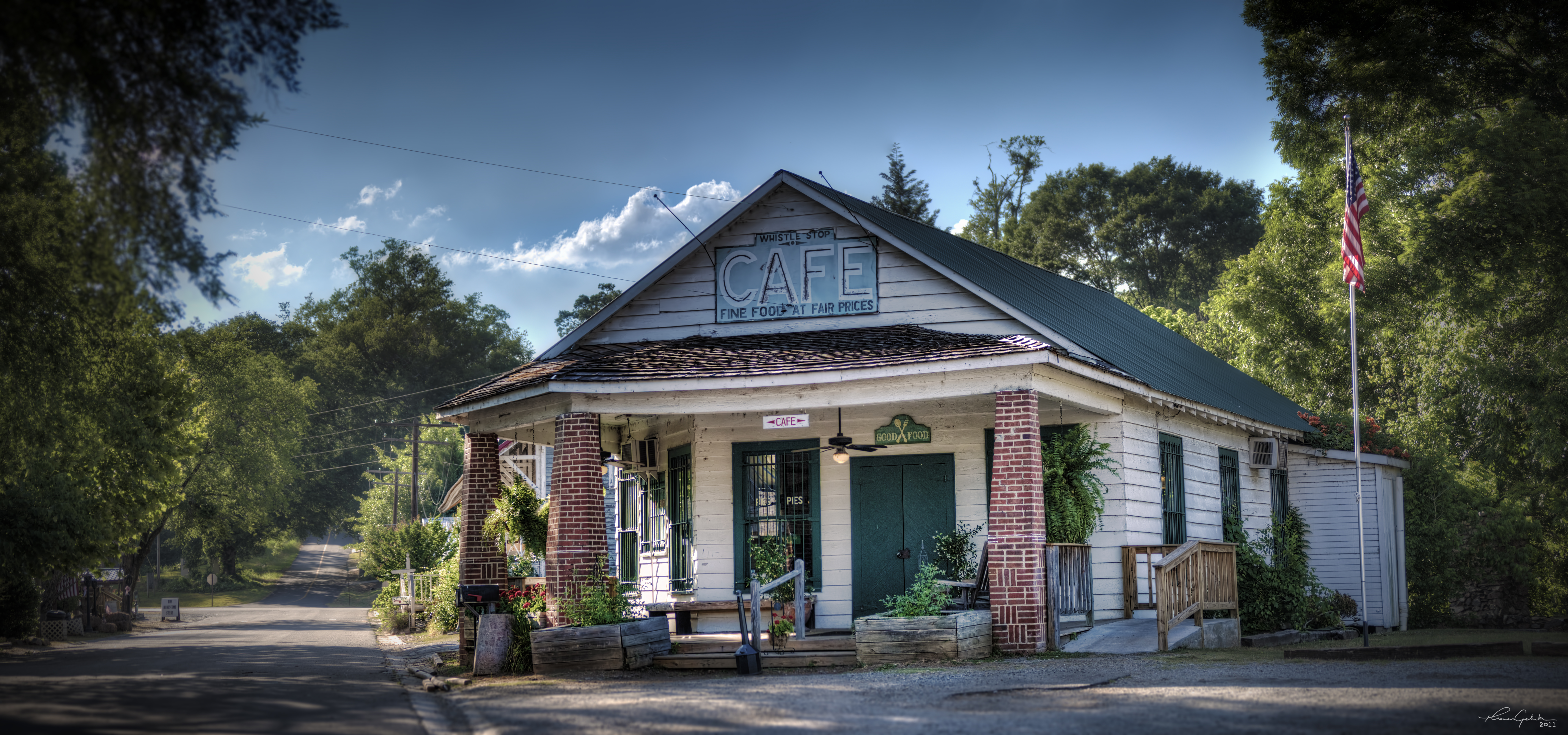
The Whistle Stop Cafe

View of the deck
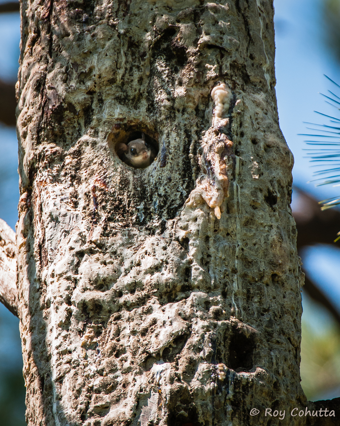
Red-cockaded Nest Tree with Flying Squirrel

Common Yellowthroat

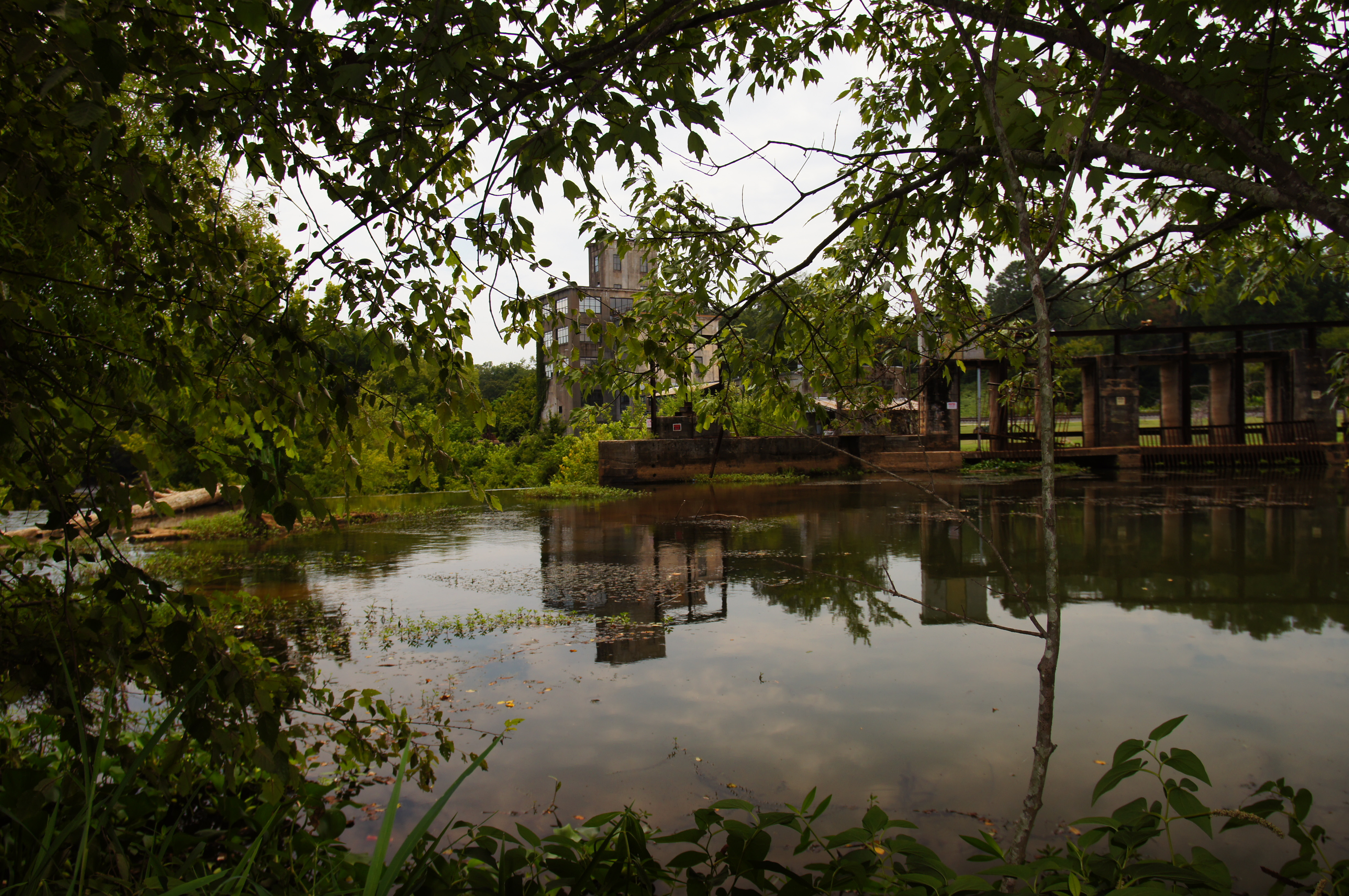
Juliette Milling Company
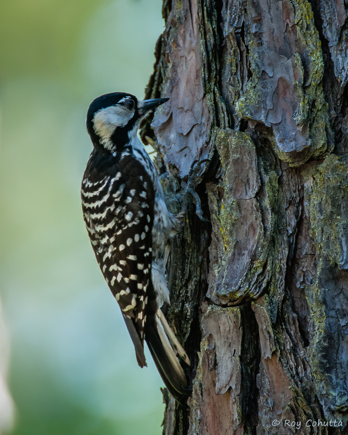
Red-cockaded Woodpecker
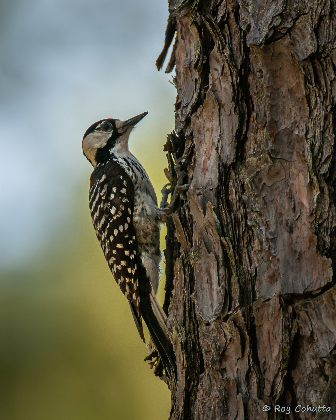
Red-cockaded Woodpecker
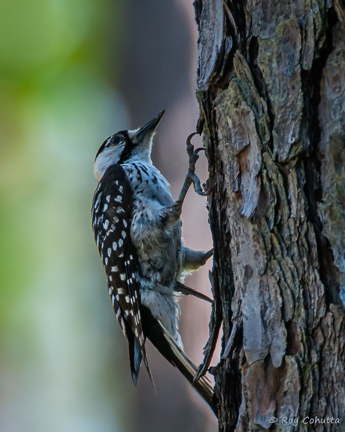
Red-cockaded Woodpecker
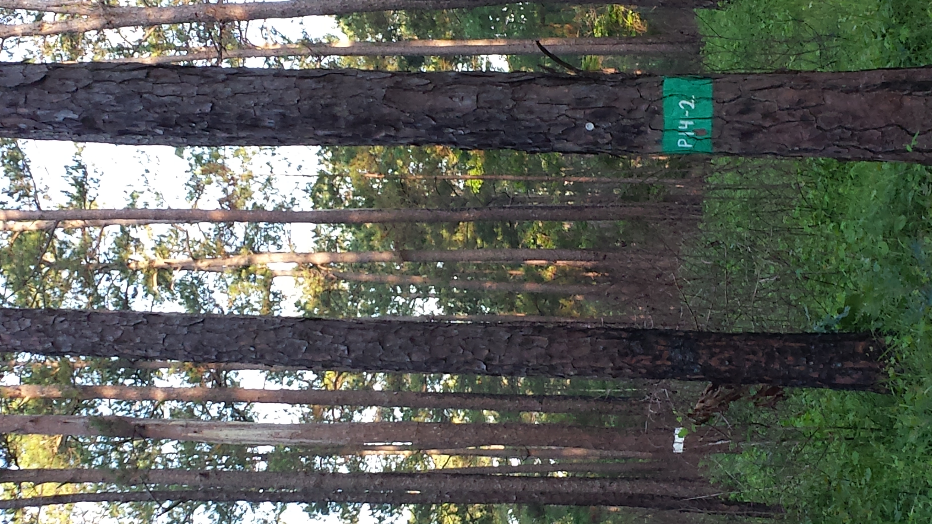
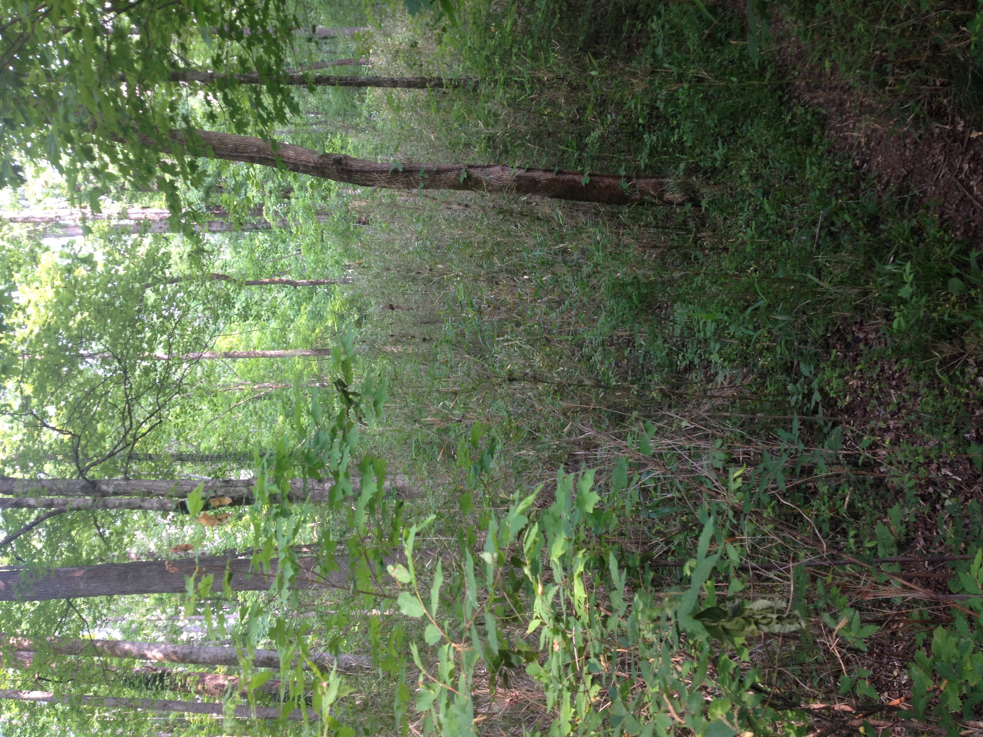
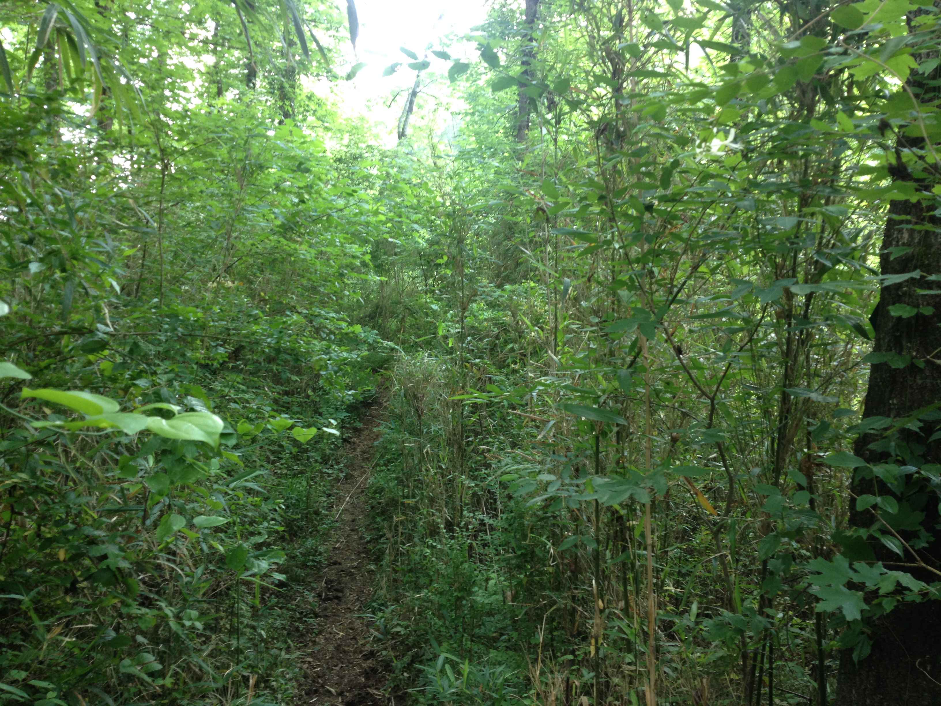
Red-cockaded Woodpecker habitat
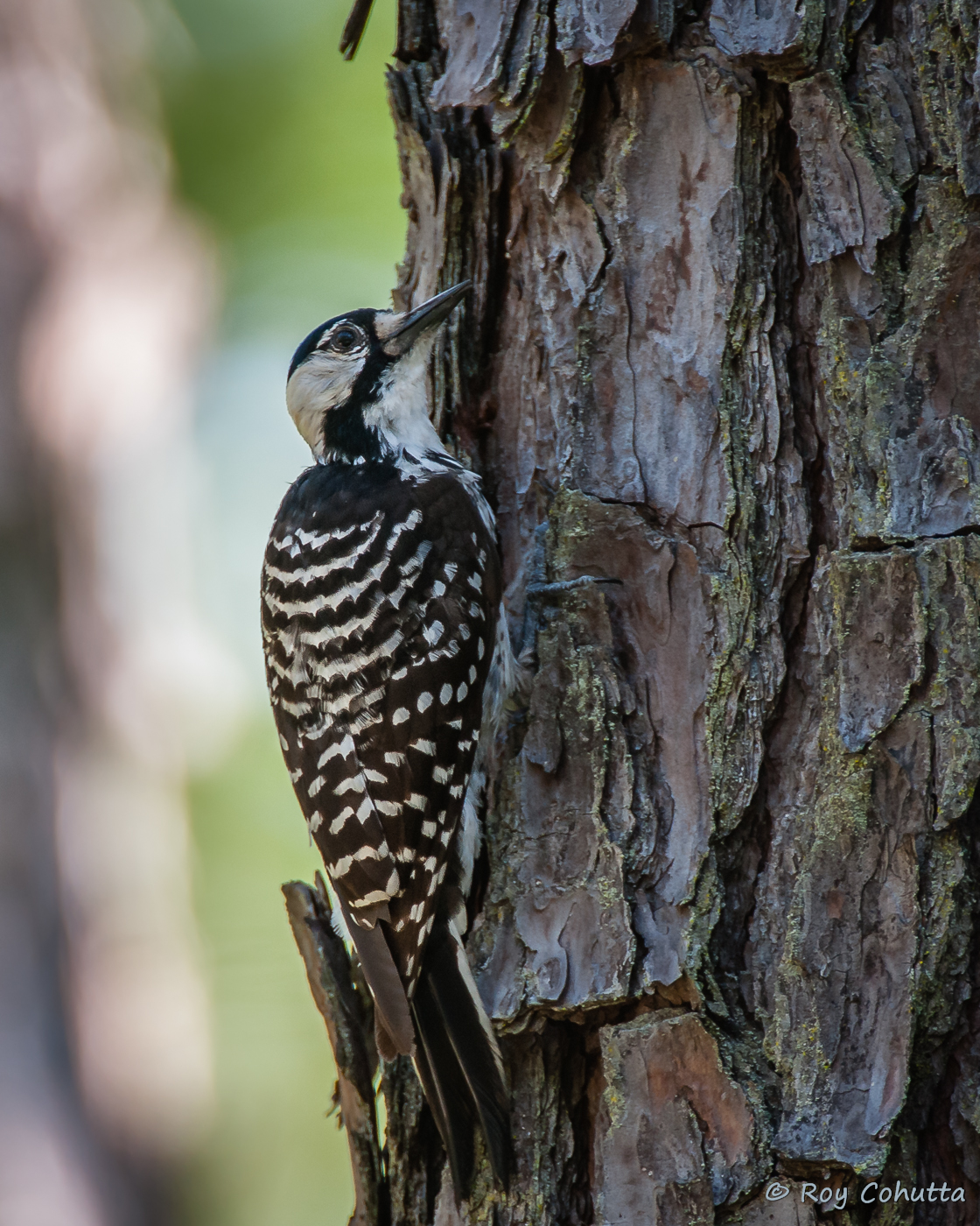
Red-cockaded Woodpecker

51/365: Panoramic View of China Grove Cemetery
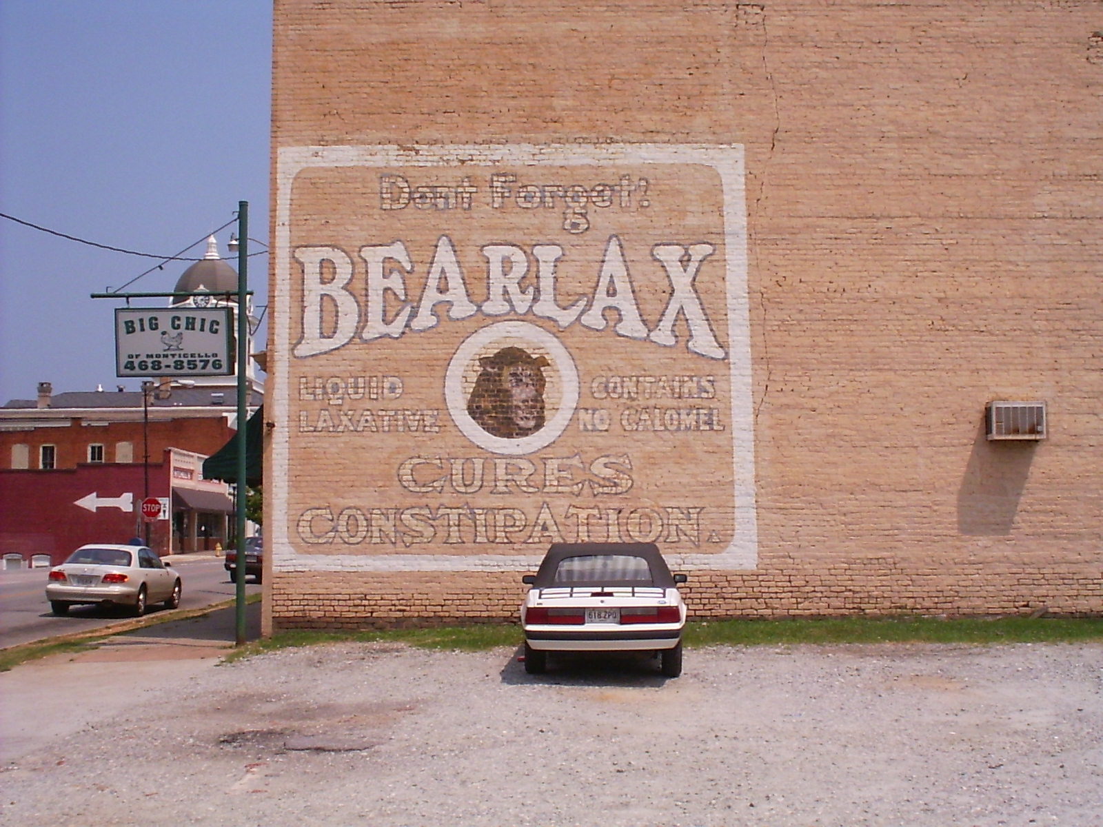
Bearlax Historic Wall Ad View 2
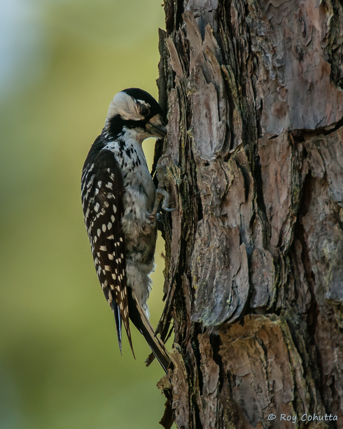
Red-cockaded Woodpecker
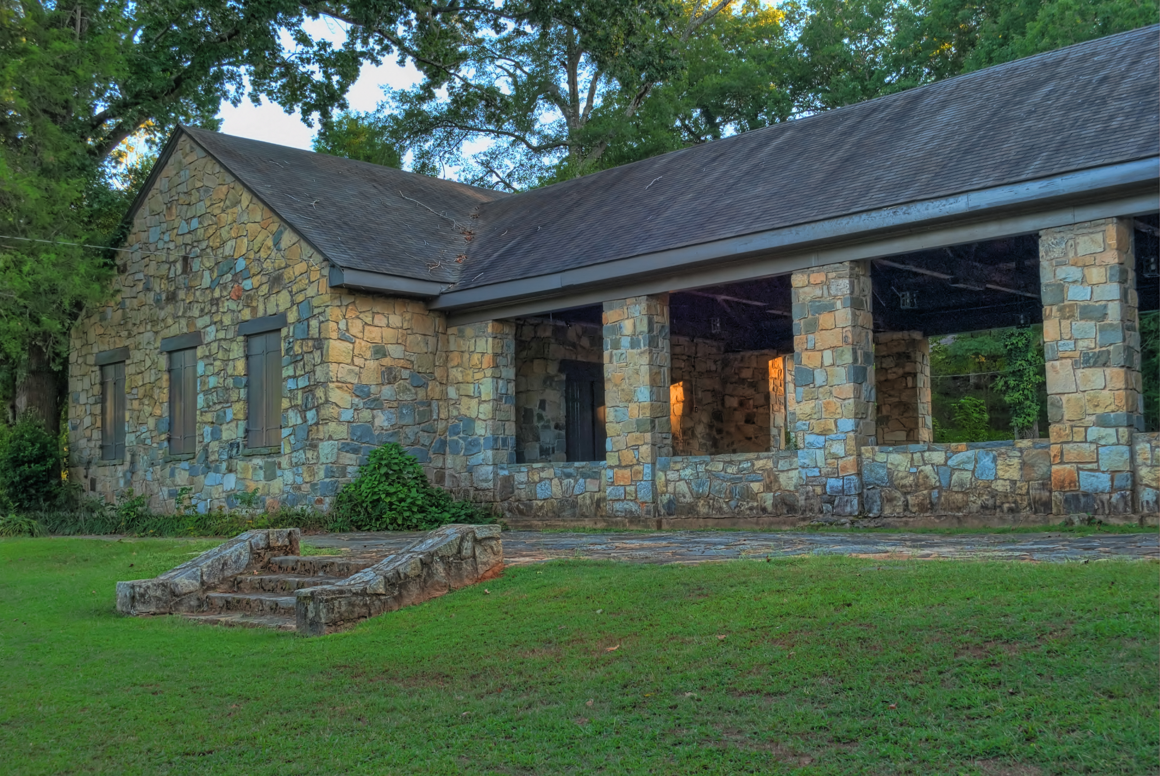
Barracks, Frontal View
Ocmulgee neg SWWA hab 2
Ocmulgee neg SWWA hab 1
Hillsboro neg SWWA hab
Red-cockaded Woodpecker
Red-cockaded Woodpecker
Red-cockaded Woodpecker
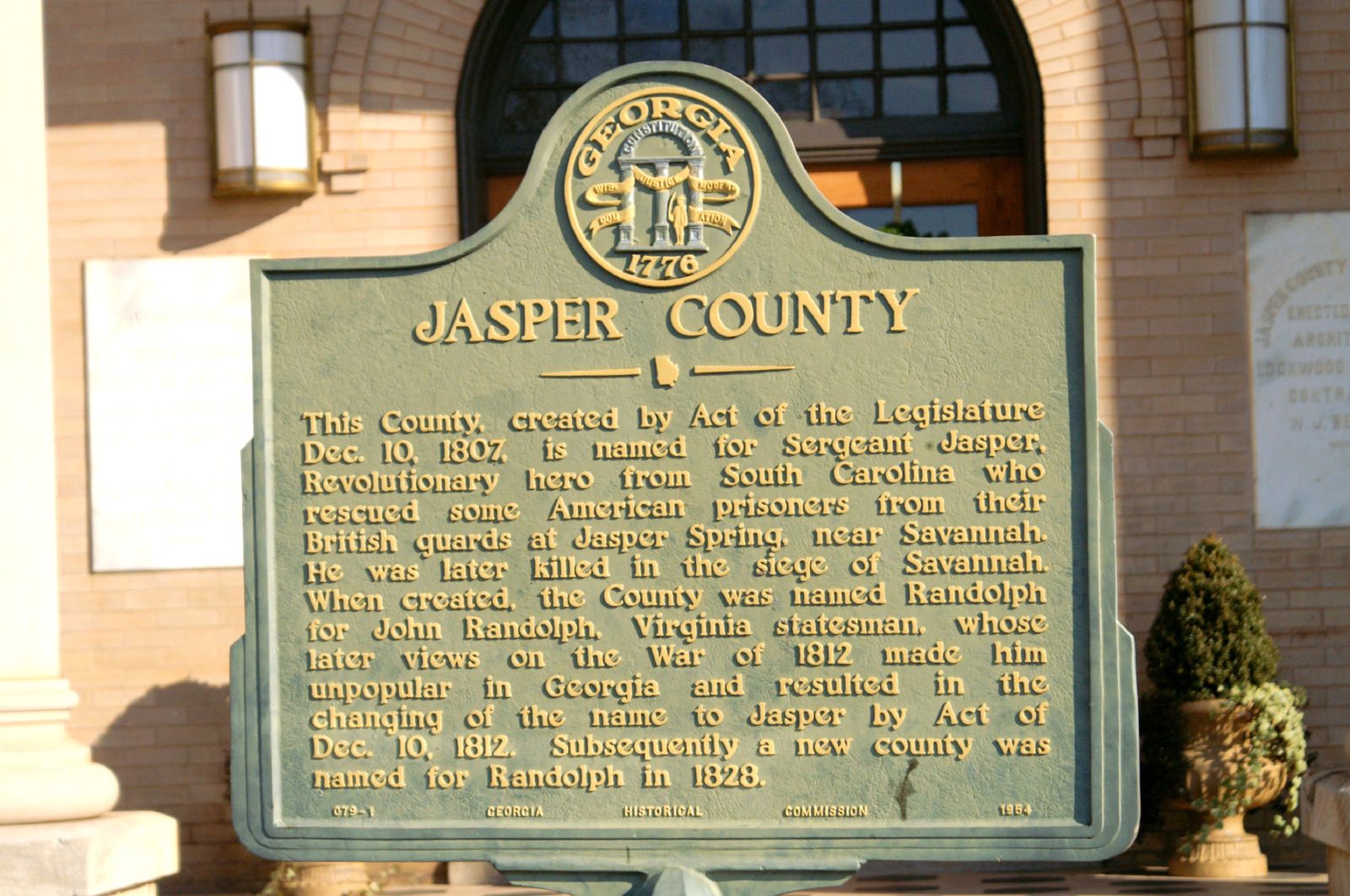
Jasper County GHM 070-1

It's not bragging if it's a fact....(Explored Oct. 4, 2011)
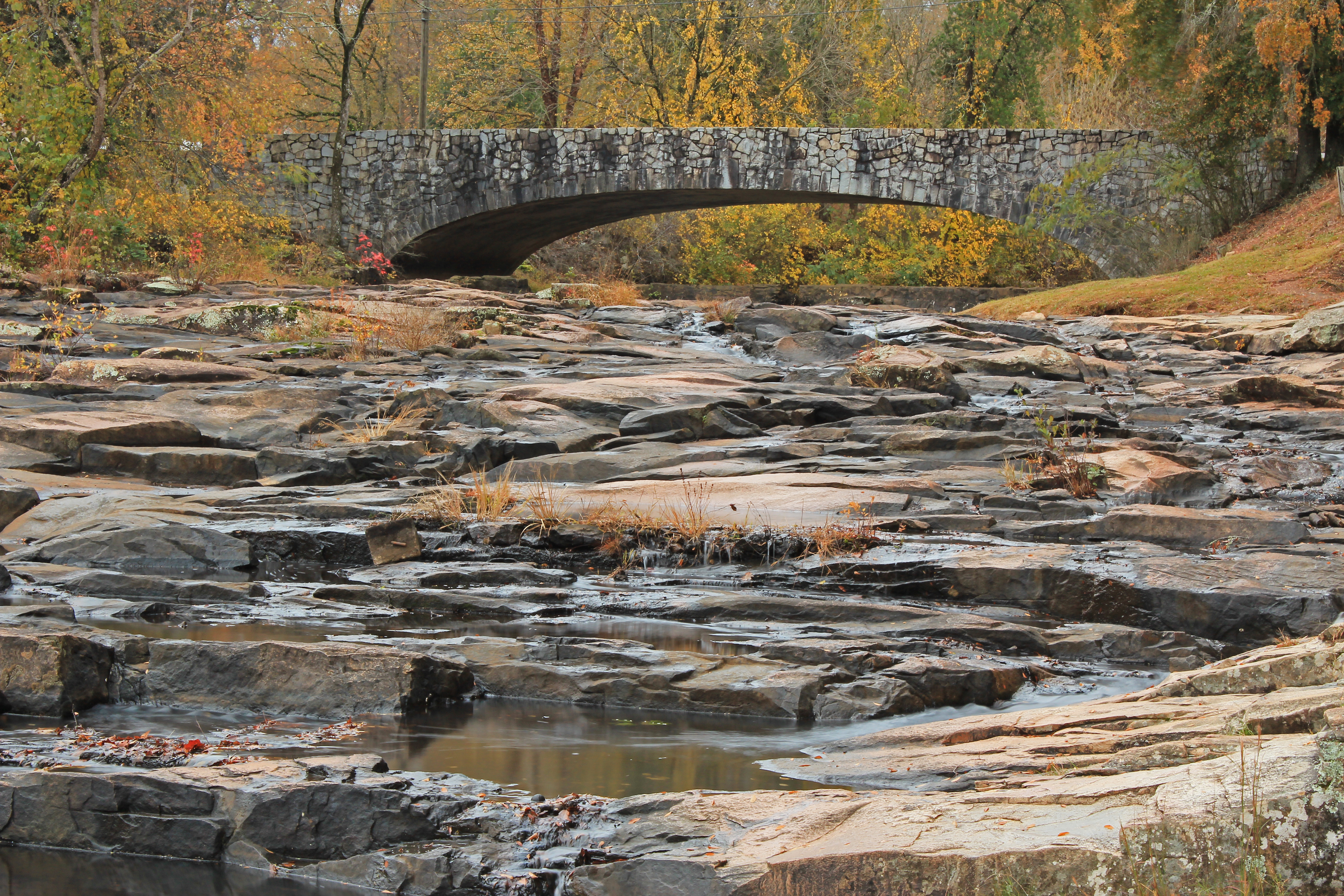
Big Sandy Creek, Indian Springs State Park, Butts County, Georgia 1
153-5337_IMG
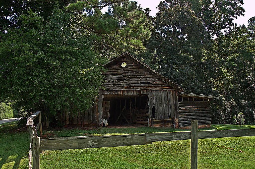
Old Barn
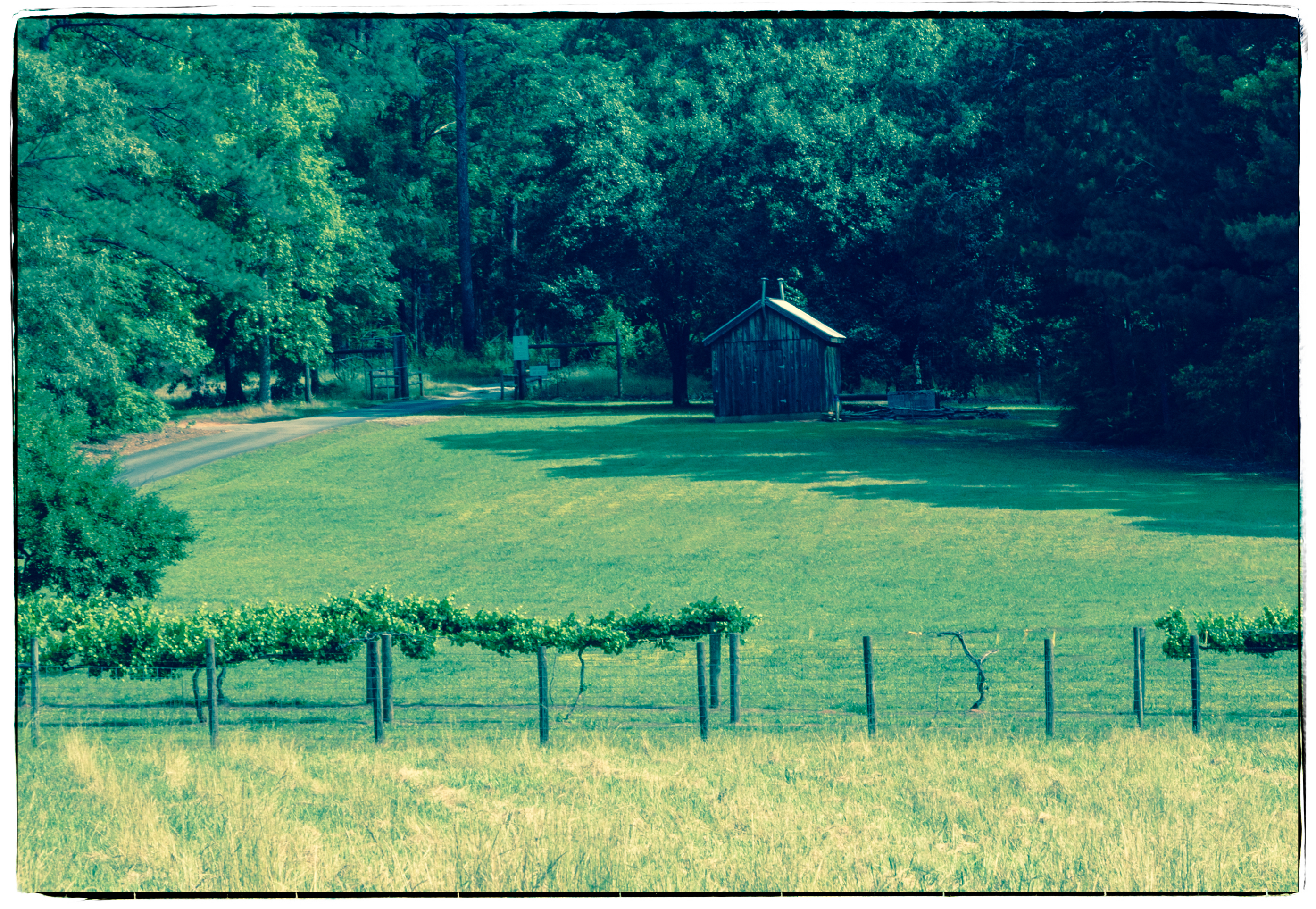
Pastoral Scene - Vineyard and Cook House
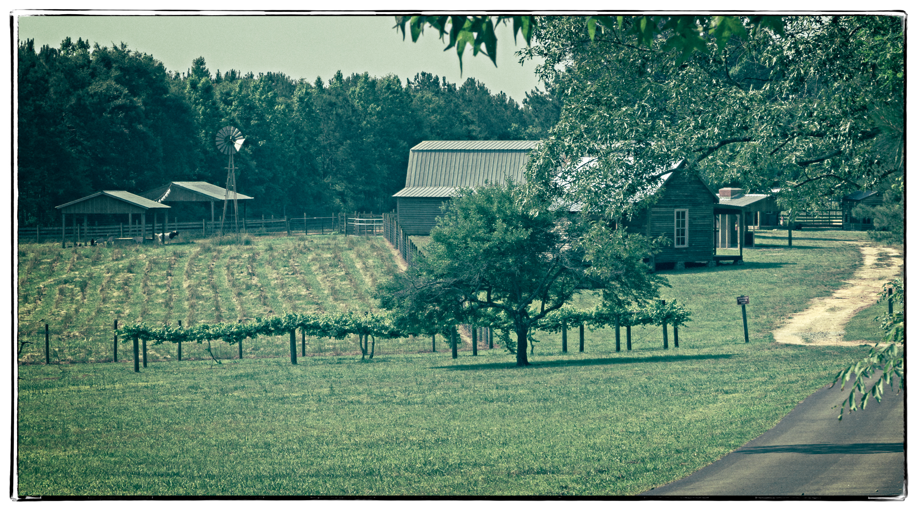
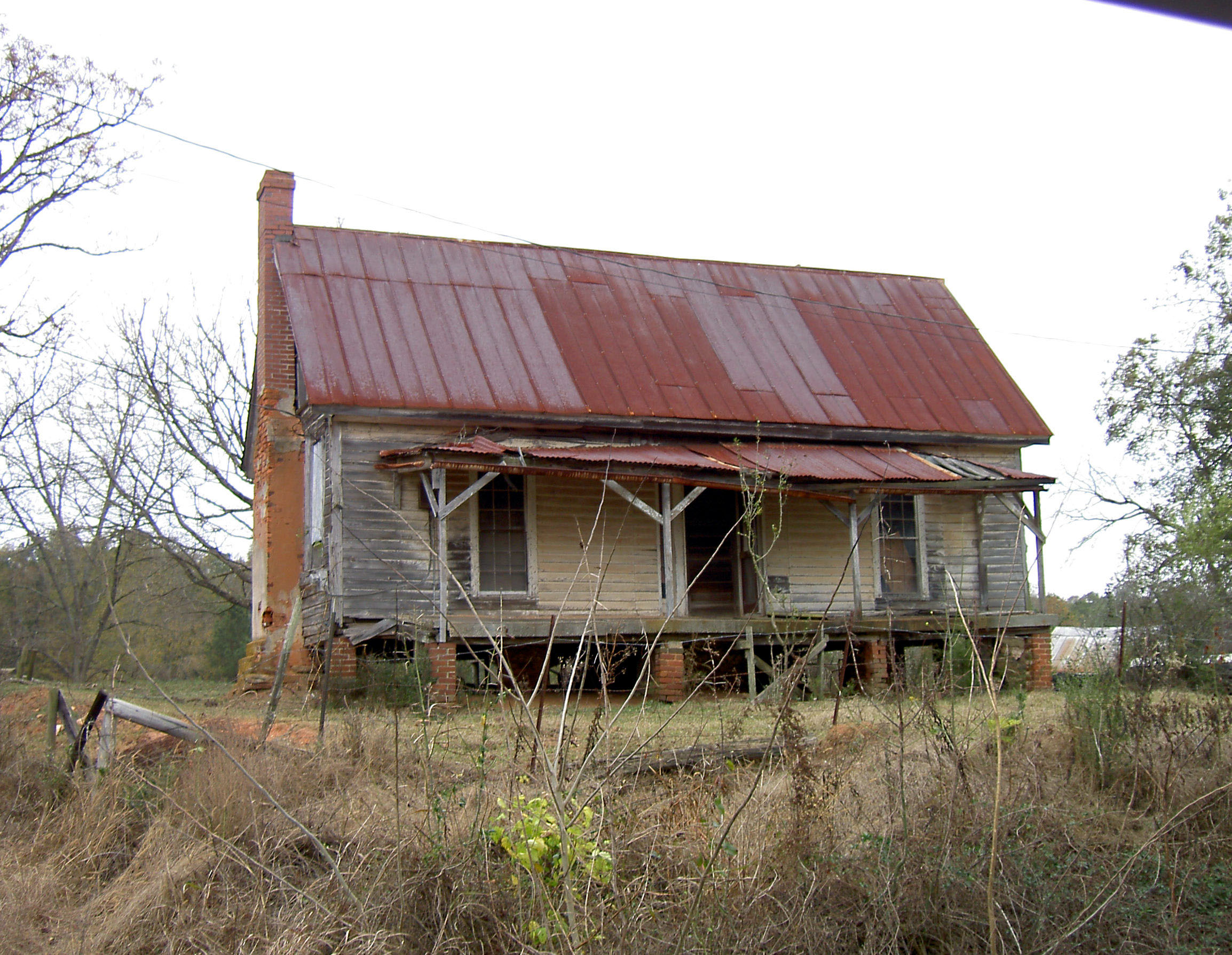
Historic Homestead
Big Sandy Creek, Indian Springs State Park, Butts County, Georgia 2
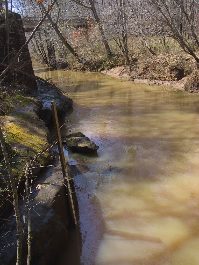
USGS 02212600 FALLING CREEK NEAR JULIETTE, GA
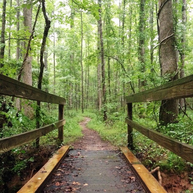
I picked the wettest day of the year for my longest run of the year. #trailrunning #trailrunner

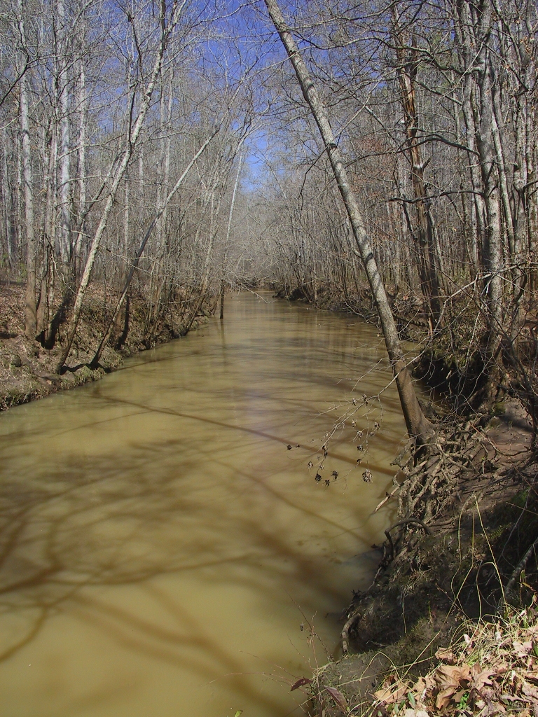
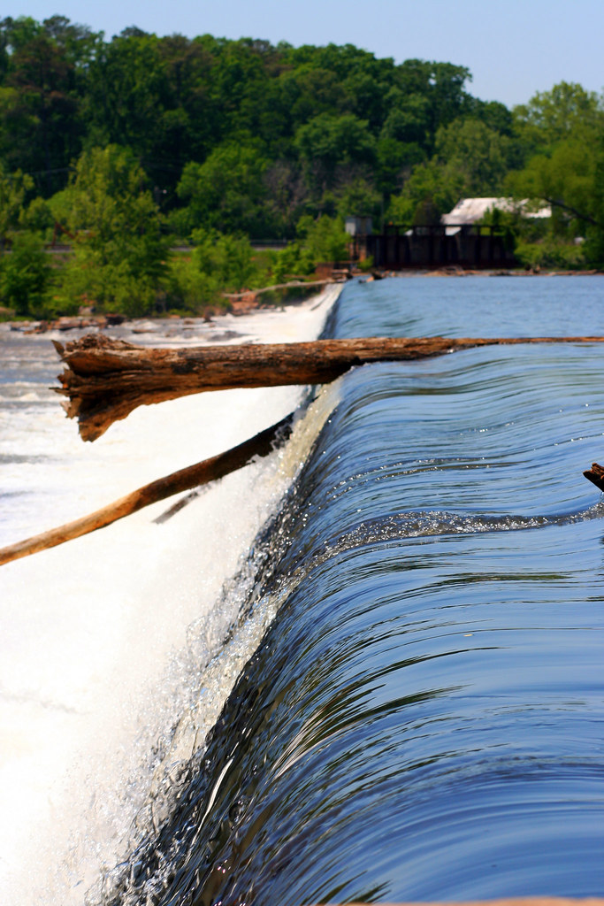
The Ocmulgee River
Precipitous Wood
DSC01736.JPG

Juliette Mill
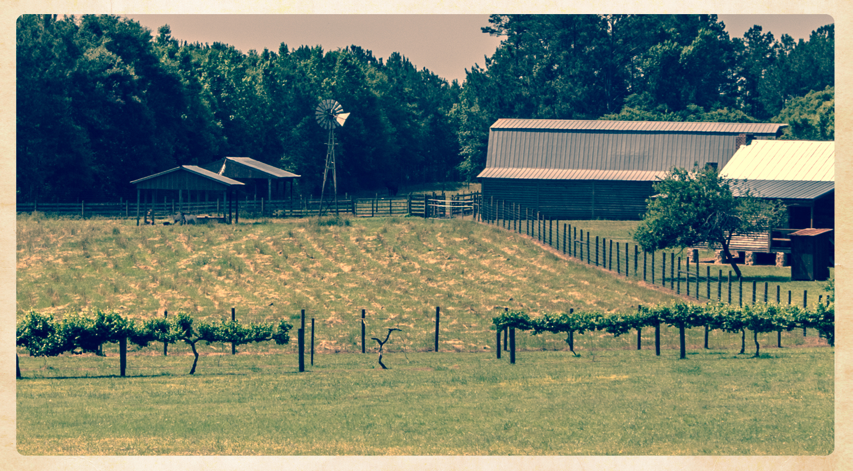
Farm Scene
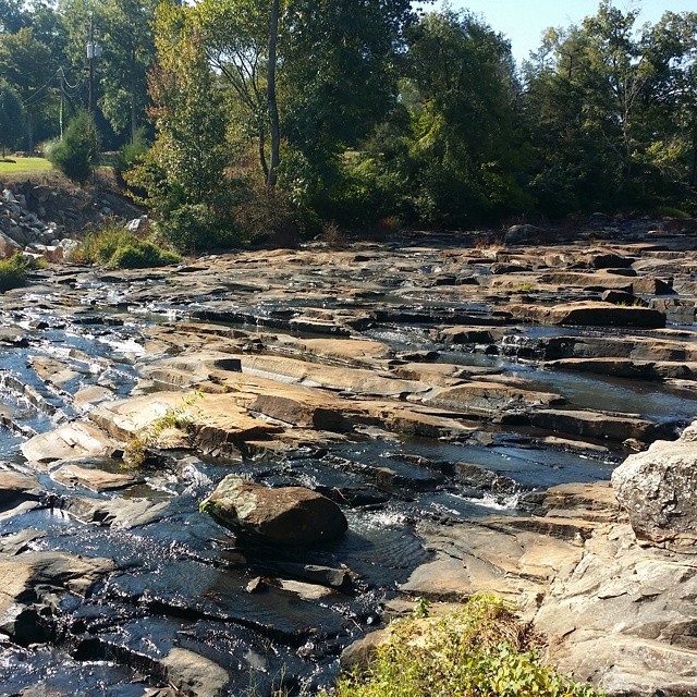
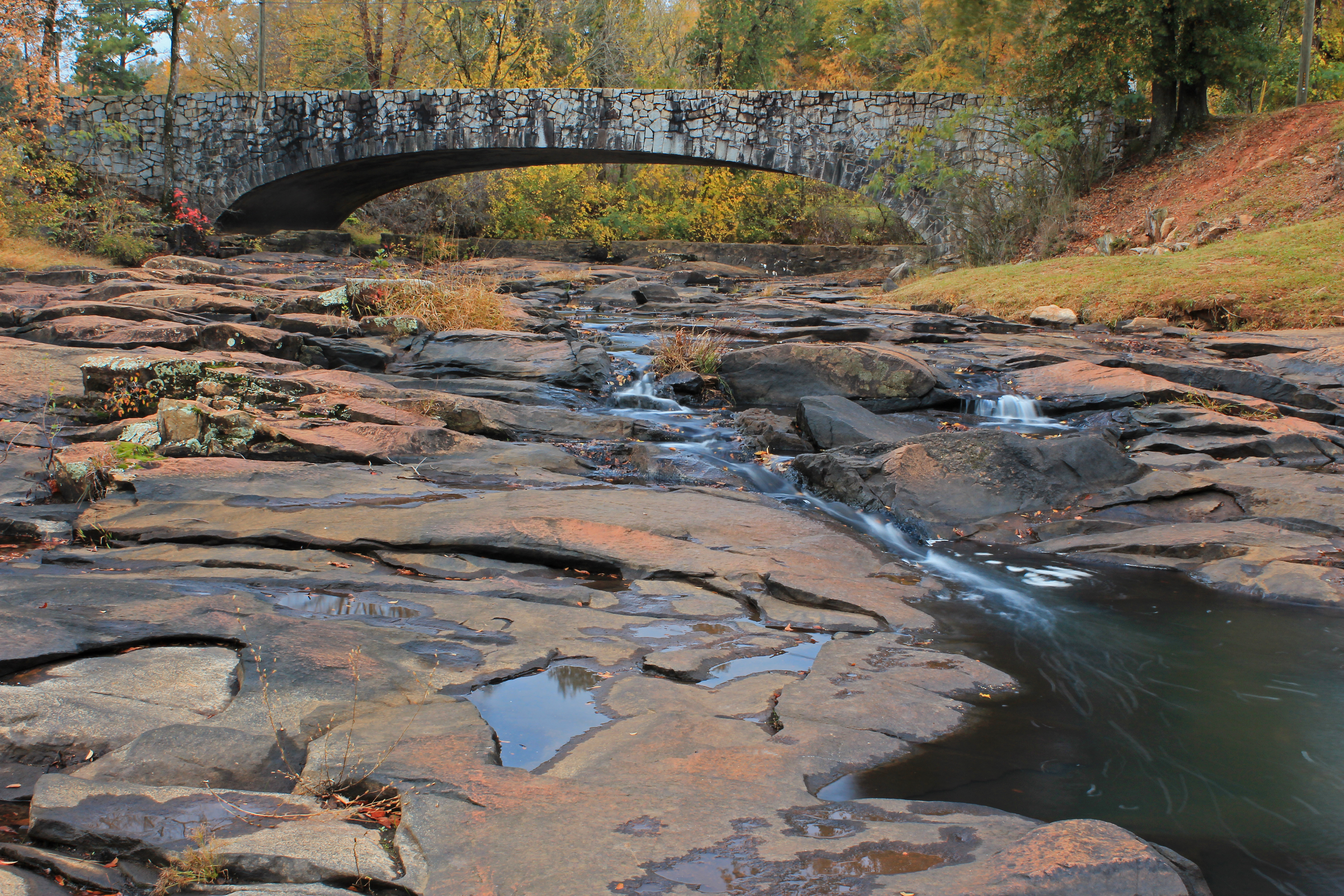
On the rocks at Indian Springs State Park. #gastateparks #exploregeorgia
Hwy 11 South
Topographic Map of GA-83, Monticello, GA, USA
Find elevation by address:

Places near GA-83, Monticello, GA, USA:
GA-83, Forsyth, GA, USA
Juliette
McCrackin St, Juliette, GA, USA
333 Mccrackin St
Luther Smith Rd, Juliette, GA, USA
37 Clay Tillman Rd, Hillsboro, GA, USA
9 Bar None Rd
10226 Ga-87
Maynard Church Rd, Forsyth, GA, USA
57 GA-42, Forsyth, GA, USA
3655 Brownlee Rd
1667 Boxankle Rd
Anderson Ln, Forsyth, GA, USA
349 Towaliga Trail
349 Towaliga Trail
Mcmullen Road
34 Shaw Ave, Forsyth, GA, USA
High Falls State Park
76 High Falls Park Dr
76 High Falls Park Dr
Recent Searches:
- Elevation of Badaber, Peshawar, Khyber Pakhtunkhwa, Pakistan
- Elevation of SE Heron Loop, Lincoln City, OR, USA
- Elevation of Slanický ostrov, 01 Námestovo, Slovakia
- Elevation of Spaceport America, Co Rd A, Truth or Consequences, NM, USA
- Elevation of Warwick, RI, USA
- Elevation of Fern Rd, Whitmore, CA, USA
- Elevation of 62 Abbey St, Marshfield, MA, USA
- Elevation of Fernwood, Bradenton, FL, USA
- Elevation of Felindre, Swansea SA5 7LU, UK
- Elevation of Leyte Industrial Development Estate, Isabel, Leyte, Philippines