Elevation of Luther Smith Rd, Juliette, GA, USA
Location: United States > Georgia > Monroe County > Juliette >
Longitude: -83.79601
Latitude: 33.0852234
Elevation: 131m / 430feet
Barometric Pressure: 100KPa
Elevation Map:
Satellite Map:
Related Photos:
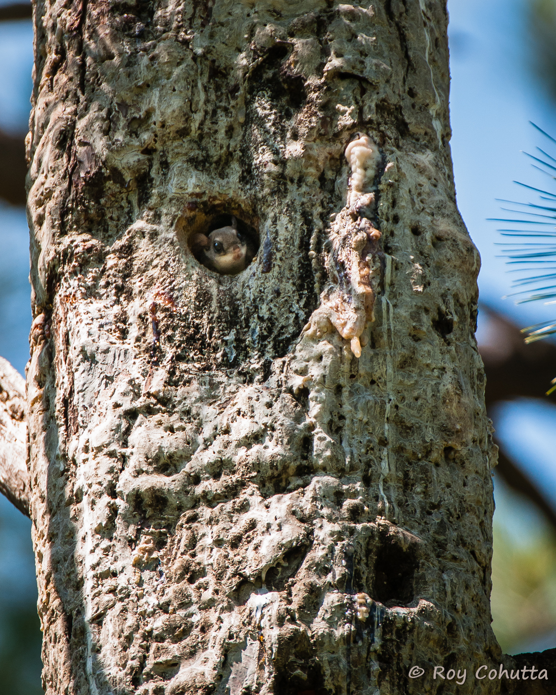
Red-cockaded Nest Tree with Flying Squirrel

Common Yellowthroat

rare georgia power arms with linepost insulators
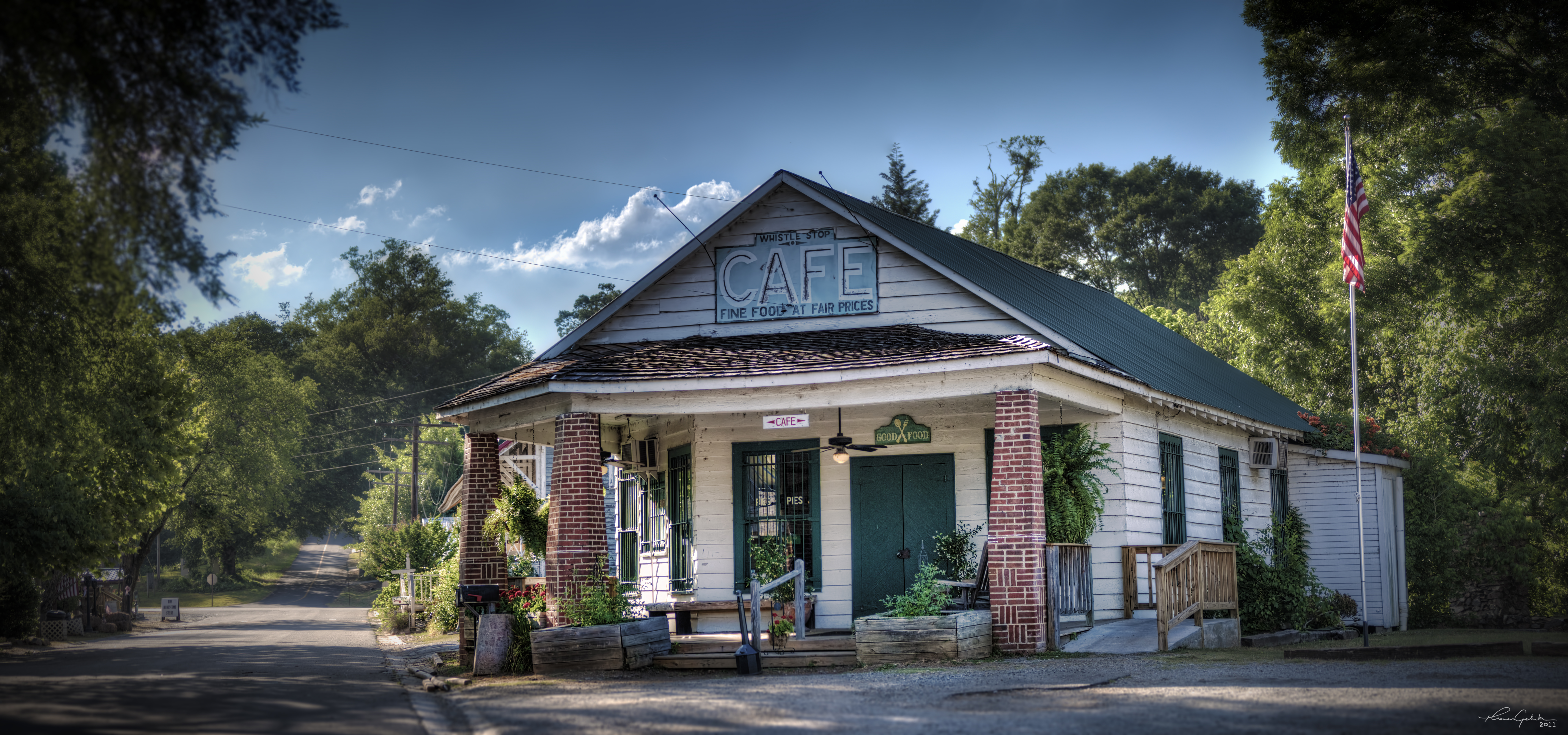
The Whistle Stop Cafe

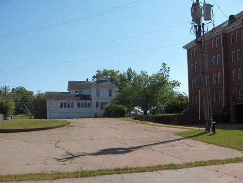
Juliette Milling Company

View of the deck
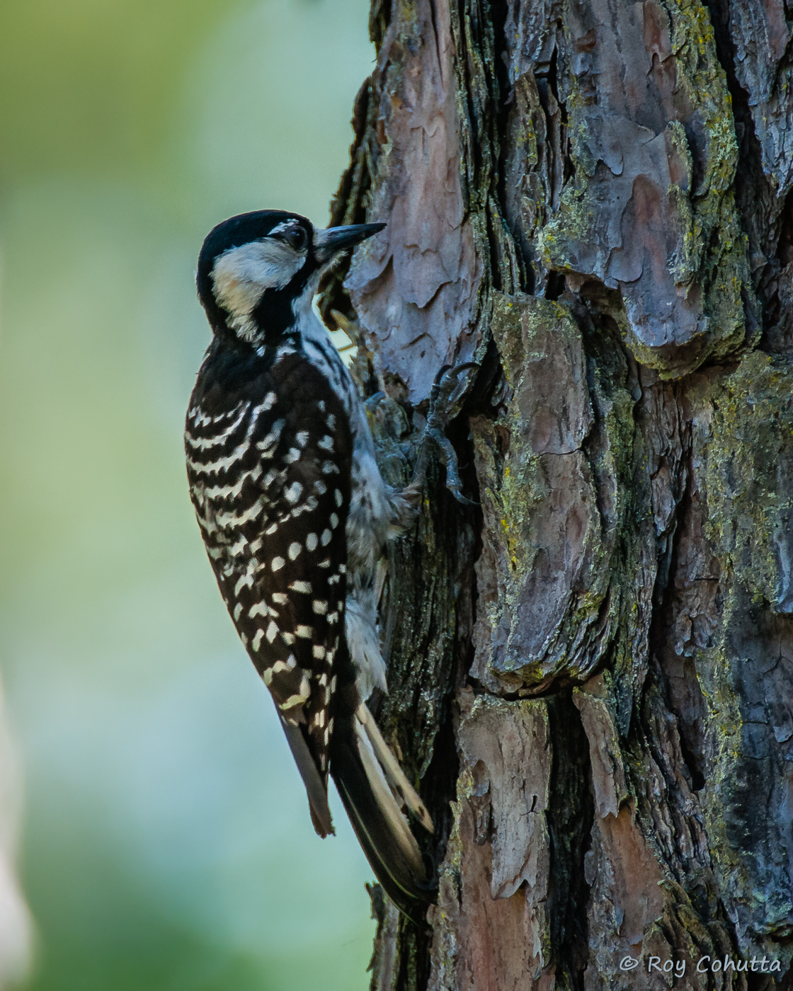
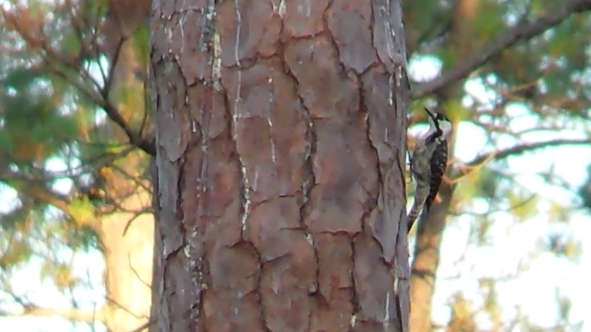
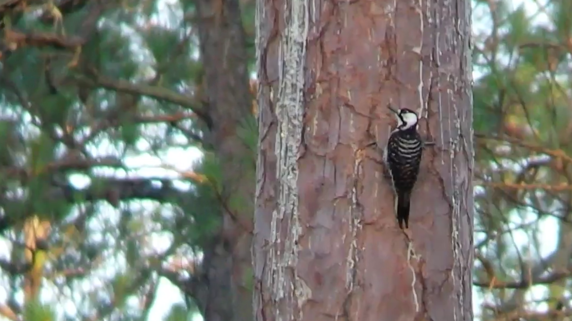
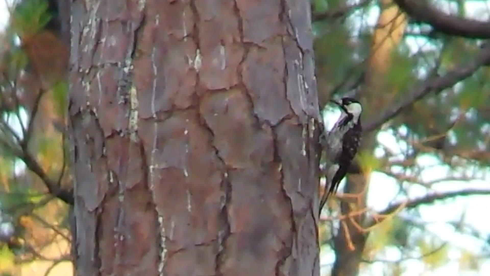
Red-cockaded Woodpecker

Red-cockaded Woodpecker

Red-cockaded Woodpecker
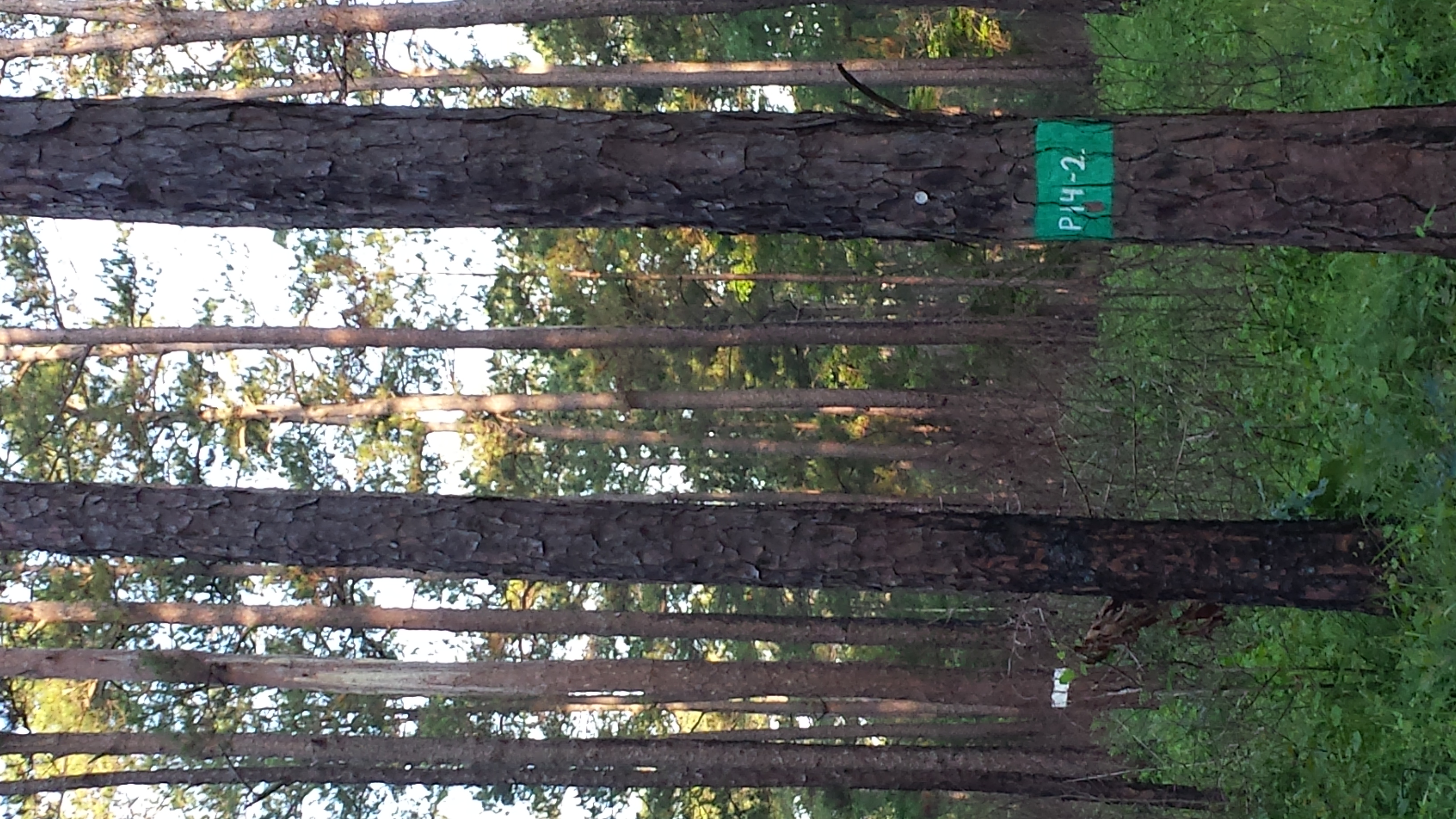
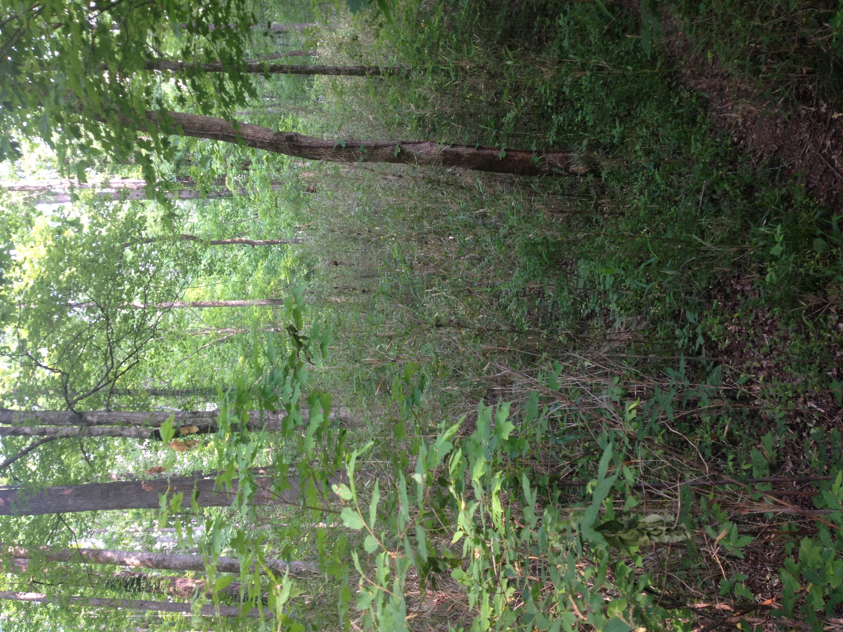
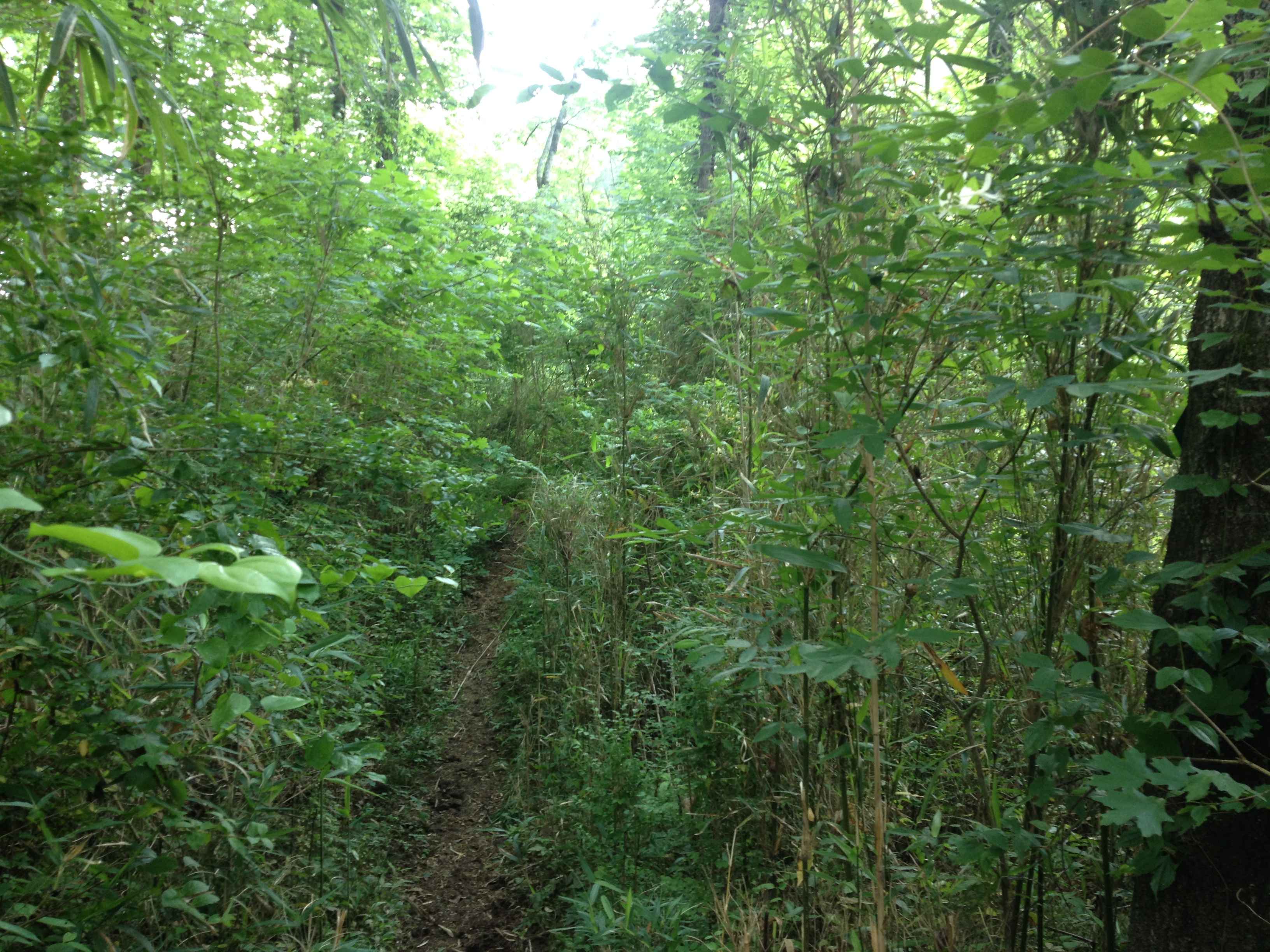
Red-cockaded Woodpecker habitat
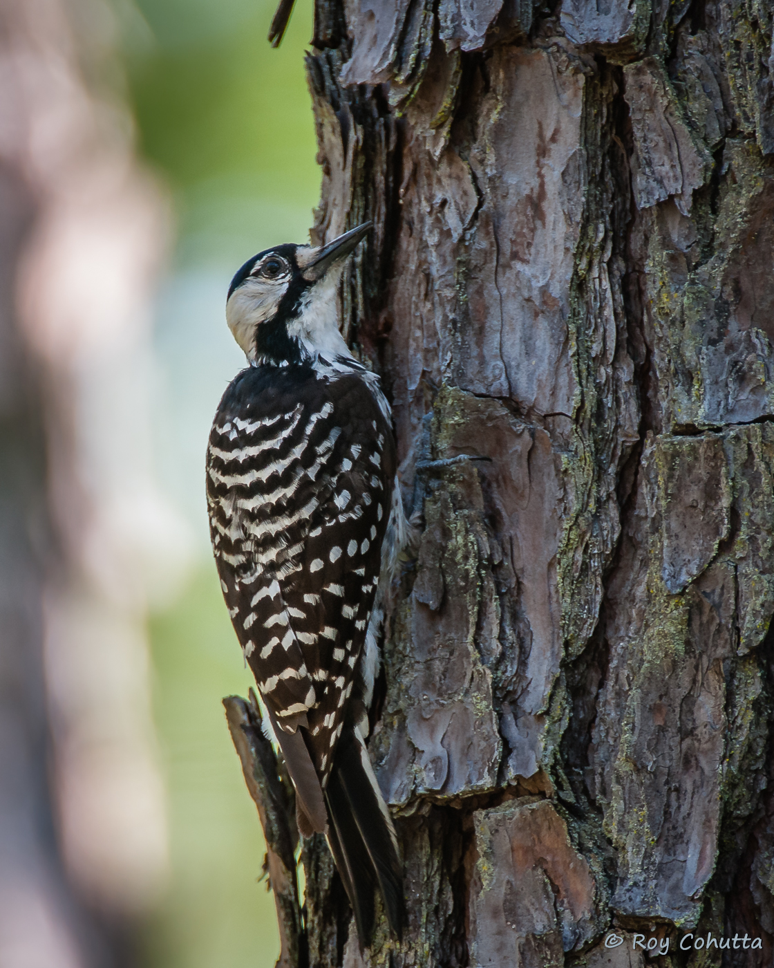
Red-cockaded Woodpecker
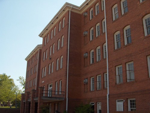
Tift College – Forsyth, GA

Red-cockaded Woodpecker
Ocmulgee neg SWWA hab 2
Ocmulgee neg SWWA hab 1
Red-cockaded Woodpecker
Red-cockaded Woodpecker
Red-cockaded Woodpecker

Central of Georgia Railway, Georgia, Forsyth (13,511b)
Tift College – Forsyth, GA
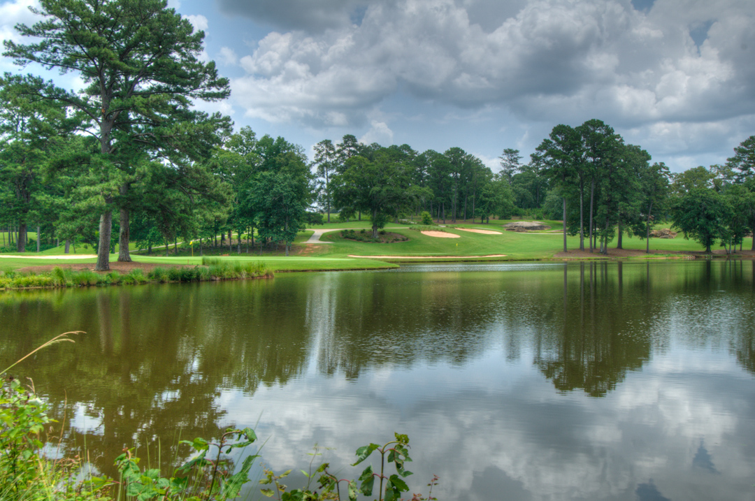
Brickyard Golf Course Hole #6 and #12
153-5337_IMG
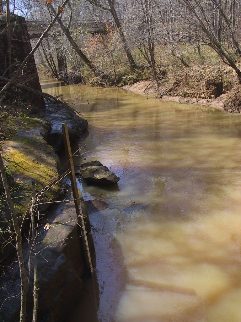
USGS 02212600 FALLING CREEK NEAR JULIETTE, GA

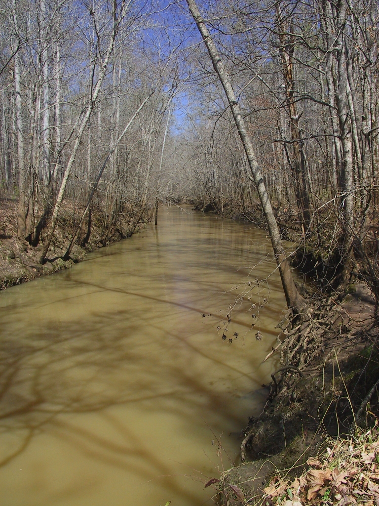
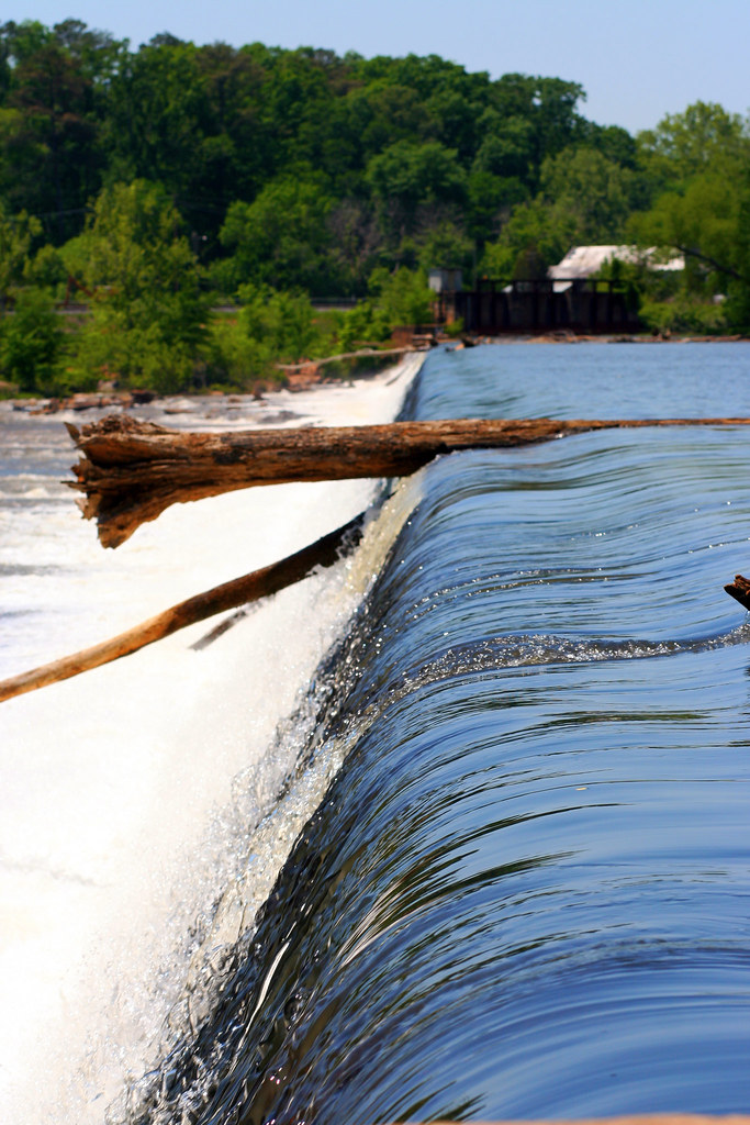
The Ocmulgee River
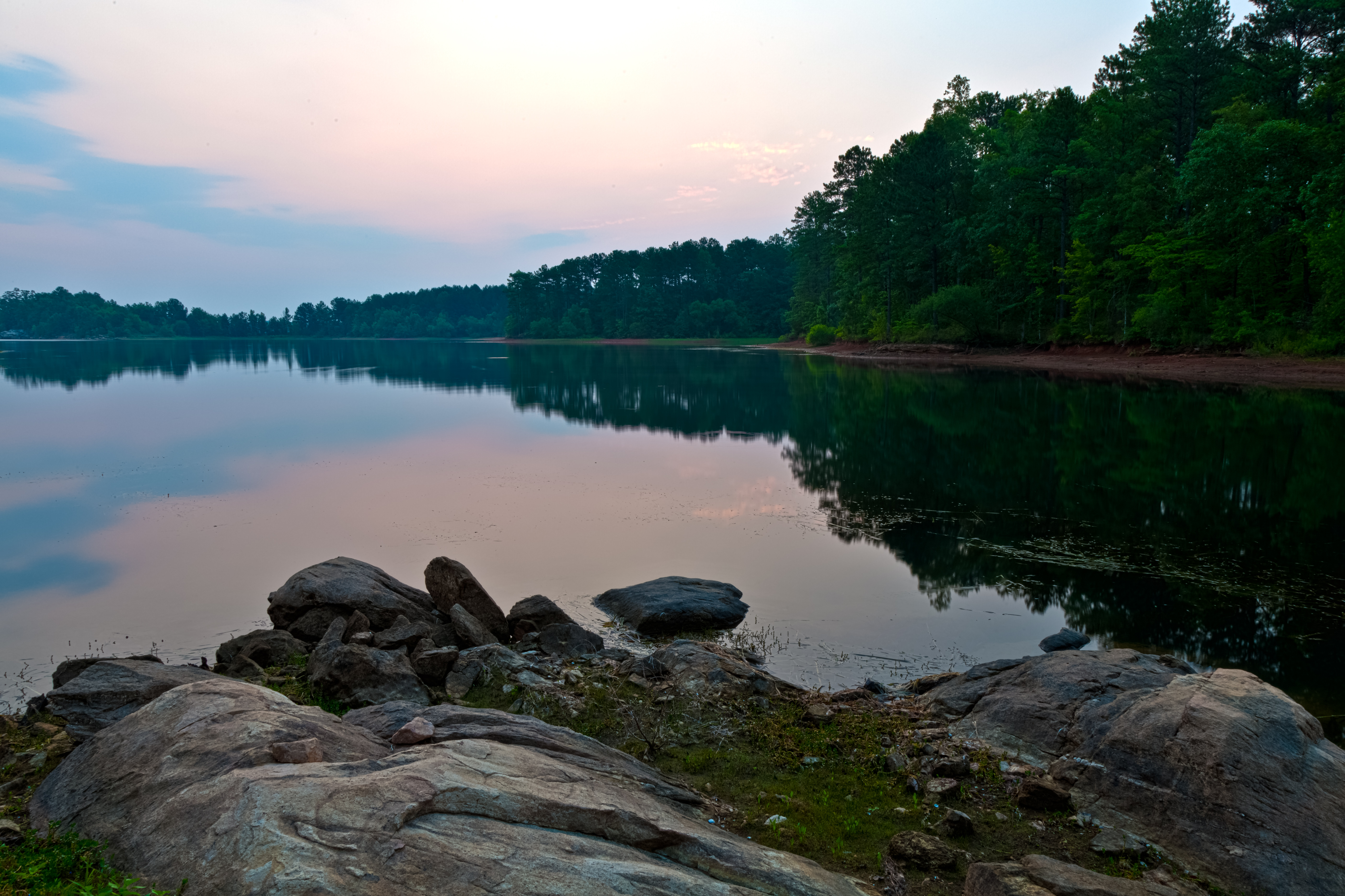
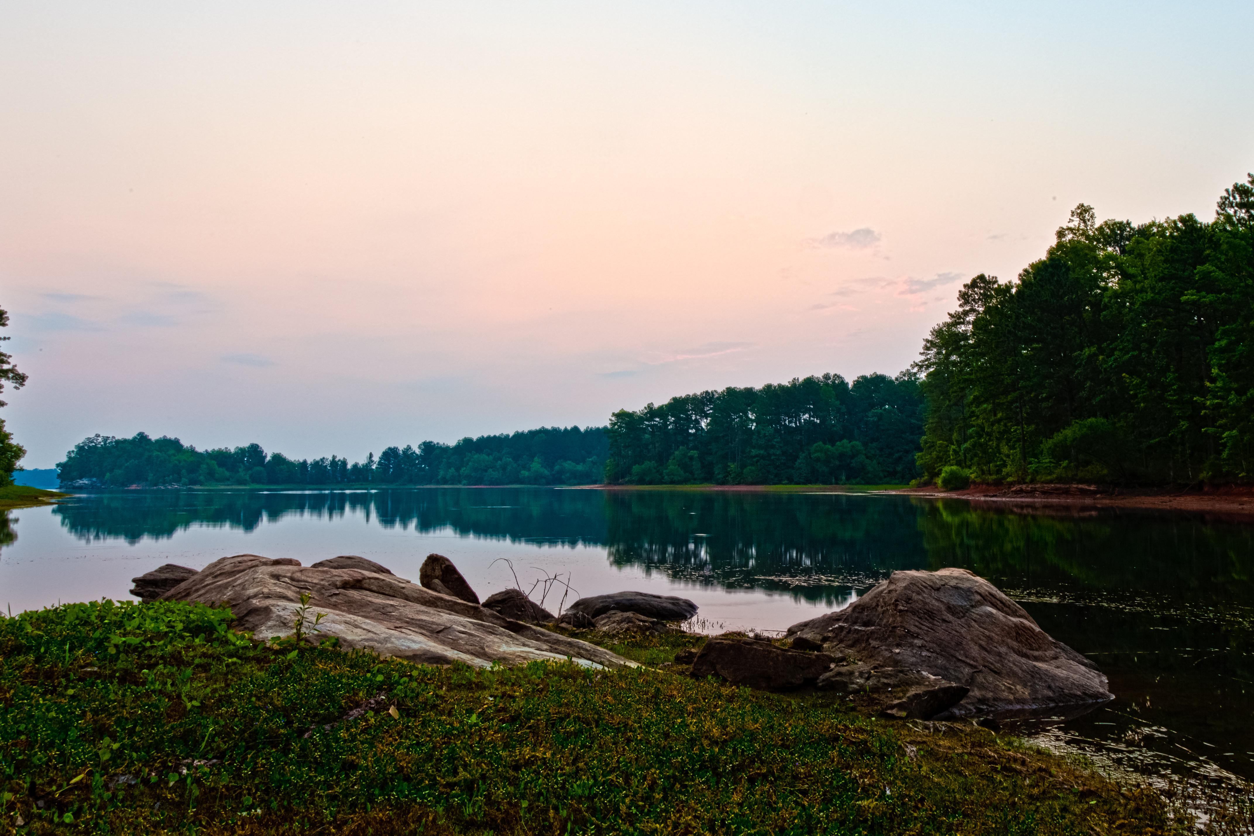
LakeJulietteArea-20110709-06.jpg

HighwaySunset-20110709-02
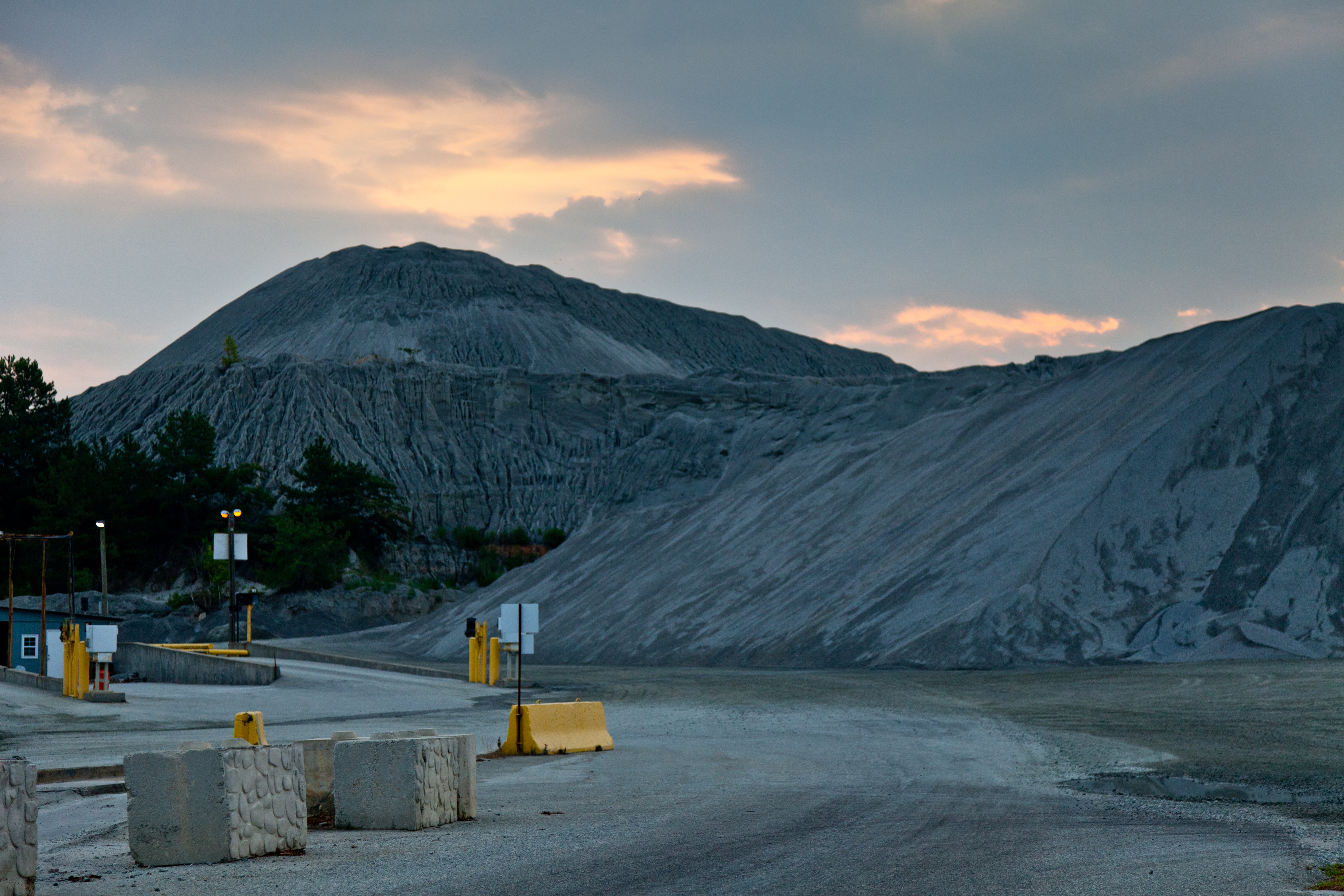
Precipitous Wood

HighwaySunset-20110709-25.jpg

HighwaySunset-20110709-27.jpg

DSC01736.JPG

Juliette Mill
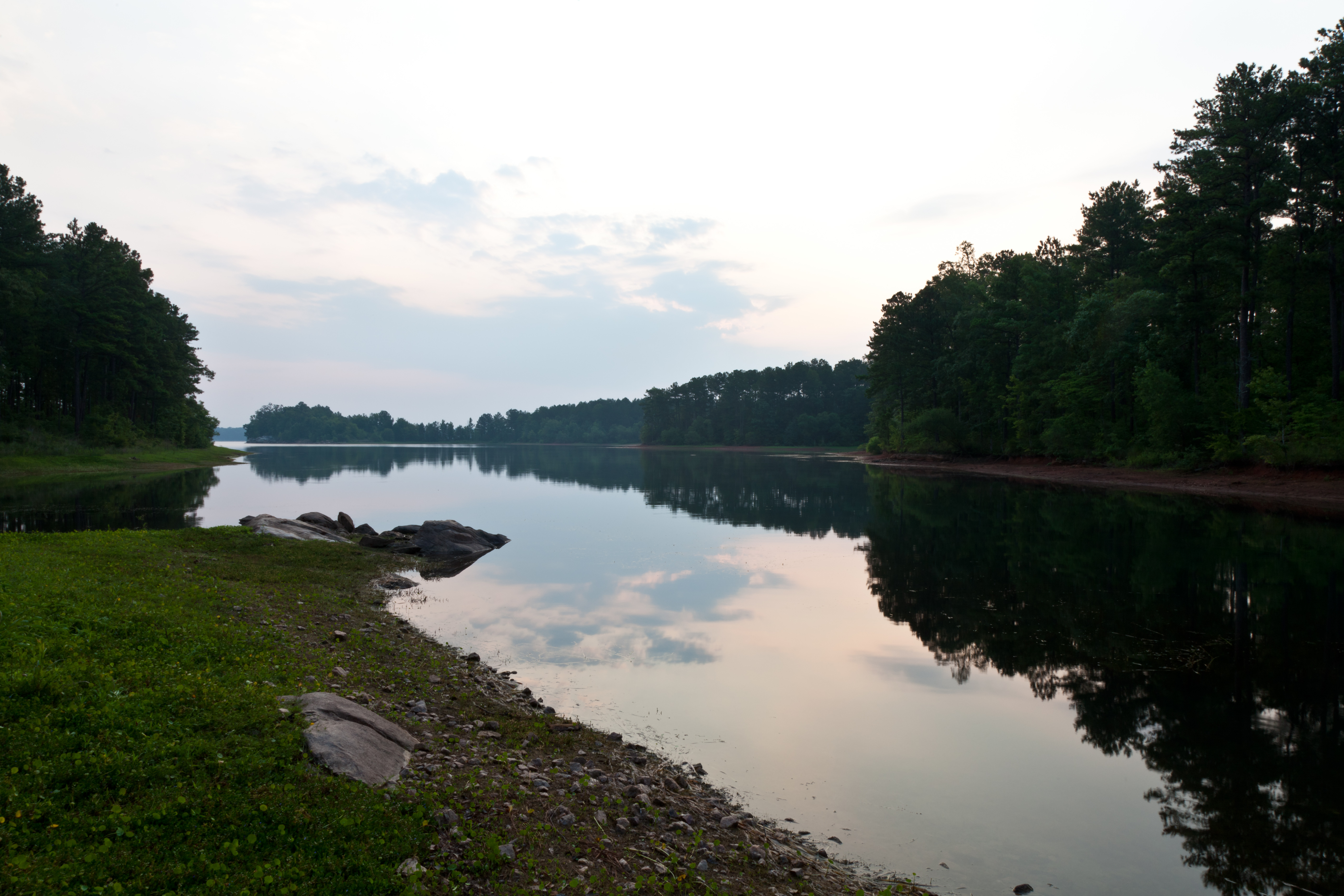
LakeJulietteArea-20110709-04.jpg
LakeJulietteArea-20110709-17.jpg

water oak leaf
LakeJulietteArea-20110709-20.jpg
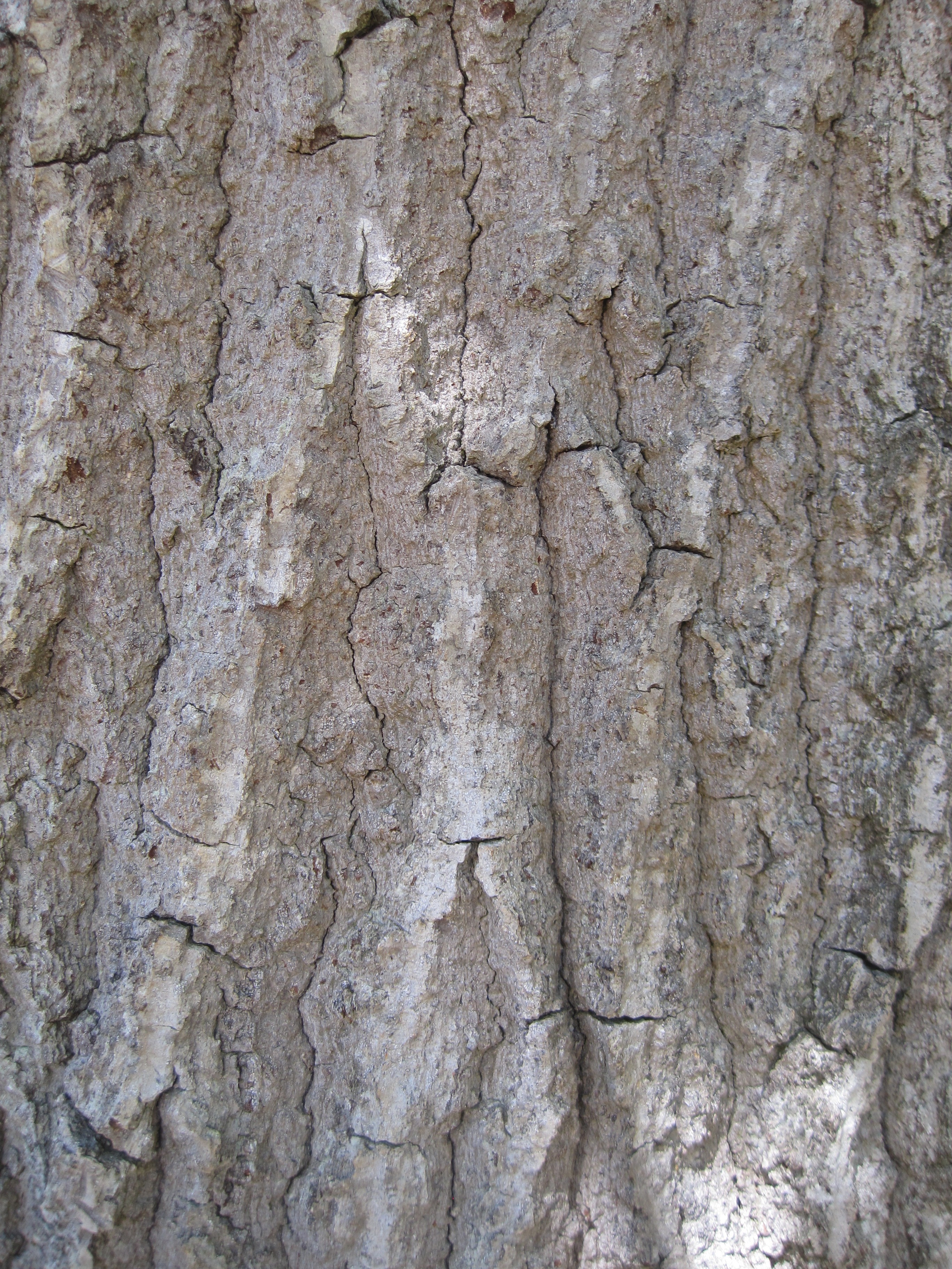
water oak bark
LakeJulietteArea-20110709-19.jpg
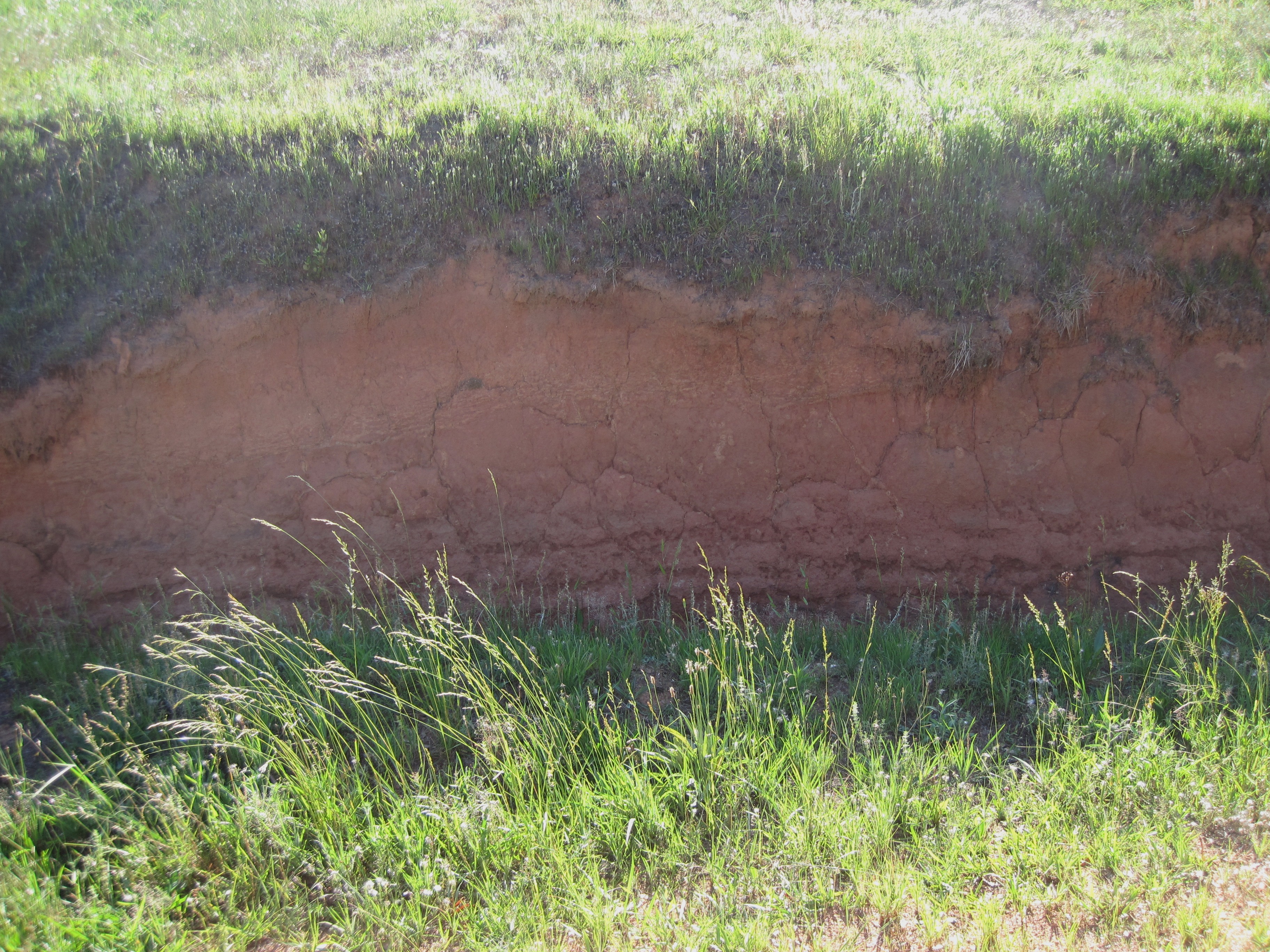
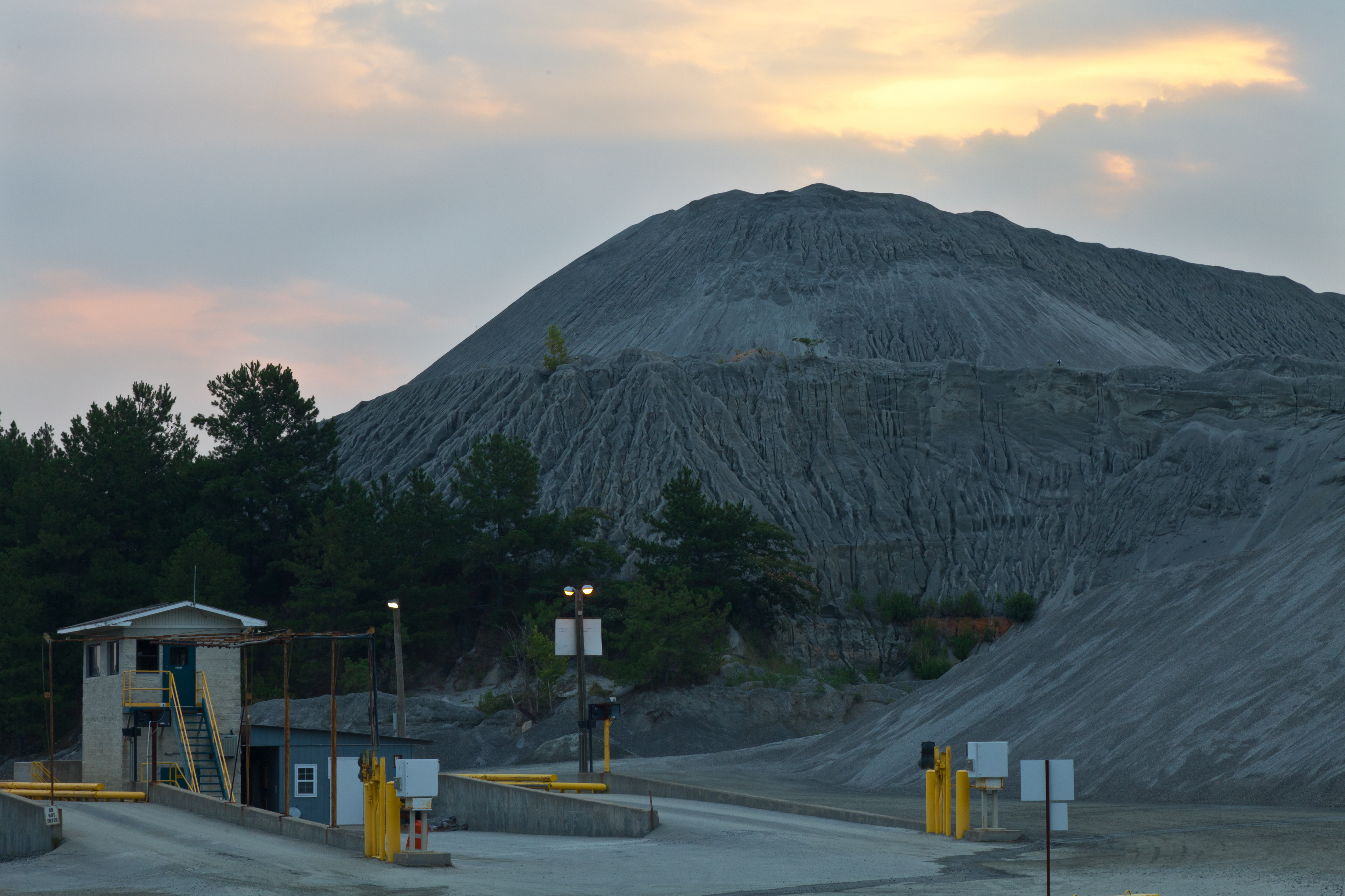
Georgia clay
Topographic Map of Luther Smith Rd, Juliette, GA, USA
Find elevation by address:

Places near Luther Smith Rd, Juliette, GA, USA:
333 Mccrackin St
McCrackin St, Juliette, GA, USA
Juliette
10226 Ga-87
GA-83, Forsyth, GA, USA
Maynard Church Rd, Forsyth, GA, USA
9 Bar None Rd
GA-83, Monticello, GA, USA
34 Shaw Ave, Forsyth, GA, USA
1667 Boxankle Rd
Mcmullen Road
Anderson Ln, Forsyth, GA, USA
37 Clay Tillman Rd, Hillsboro, GA, USA
57 GA-42, Forsyth, GA, USA
3655 Brownlee Rd
349 Towaliga Trail
349 Towaliga Trail
US-41, Forsyth, GA, USA
High Falls State Park
76 High Falls Park Dr
Recent Searches:
- Elevation of Woolwine, VA, USA
- Elevation of Lumagwas Diversified Farmers Multi-Purpose Cooperative, Lumagwas, Adtuyon, RV32+MH7, Pangantucan, Bukidnon, Philippines
- Elevation of Homestead Ridge, New Braunfels, TX, USA
- Elevation of Orchard Road, Orchard Rd, Marlborough, NY, USA
- Elevation of 12 Hutchinson Woods Dr, Fletcher, NC, USA
- Elevation of Holloway Ave, San Francisco, CA, USA
- Elevation of Norfolk, NY, USA
- Elevation of - San Marcos Pass Rd, Santa Barbara, CA, USA
- Elevation of th Pl SE, Issaquah, WA, USA
- Elevation of 82- D Rd, Captain Cook, HI, USA