Elevation of Jasper County, GA, USA
Location: United States > Georgia >
Longitude: -83.719913
Latitude: 33.3246924
Elevation: 190m / 623feet
Barometric Pressure: 99KPa
Elevation Map:
Satellite Map:
Related Photos:
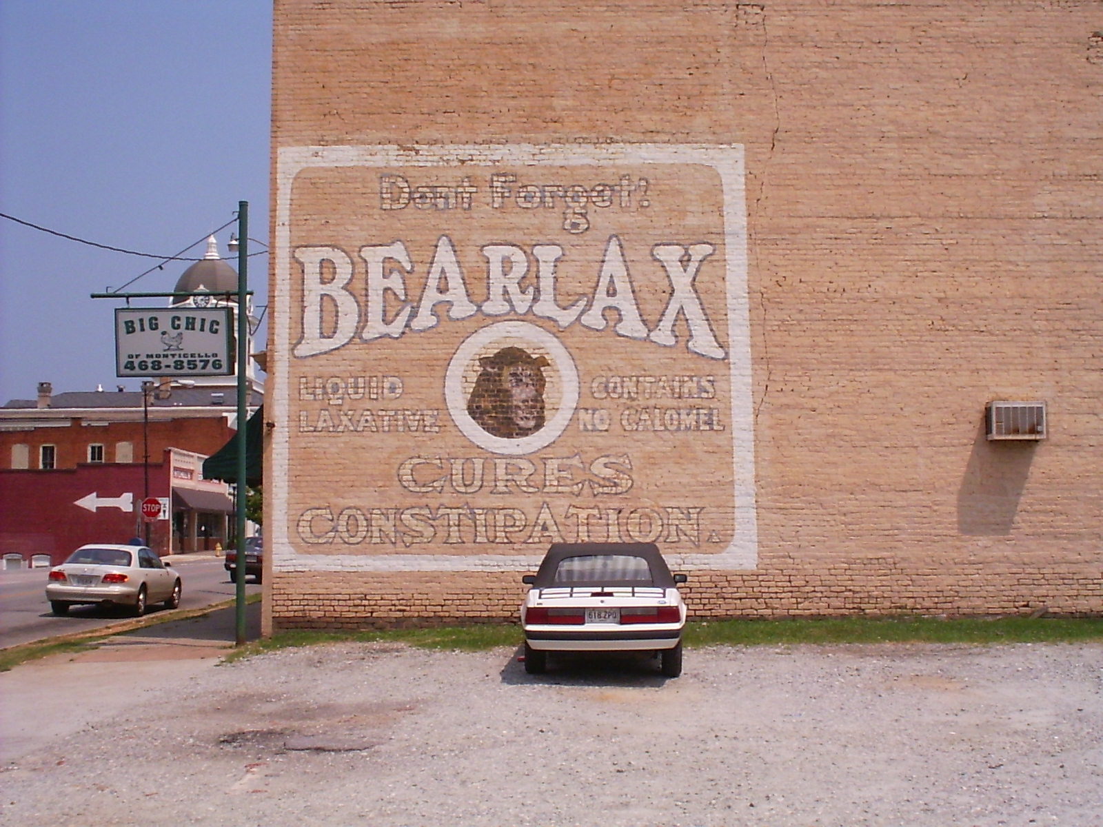
Bearlax Historic Wall Ad View 2
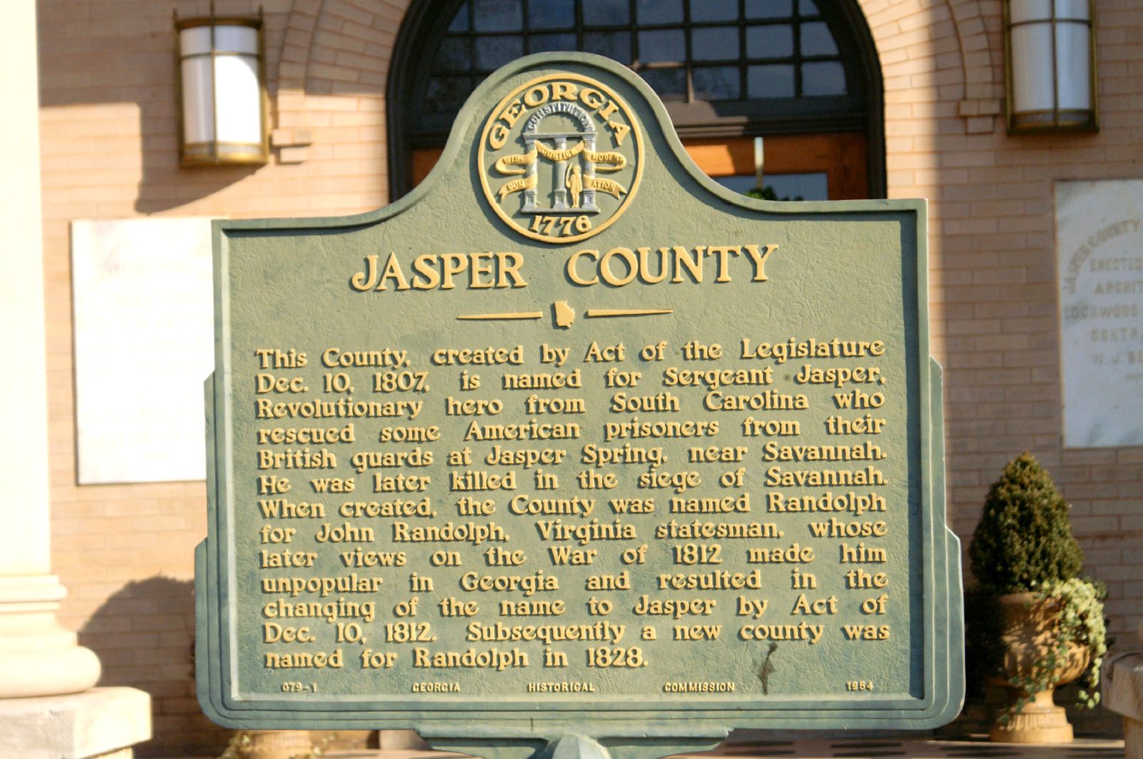
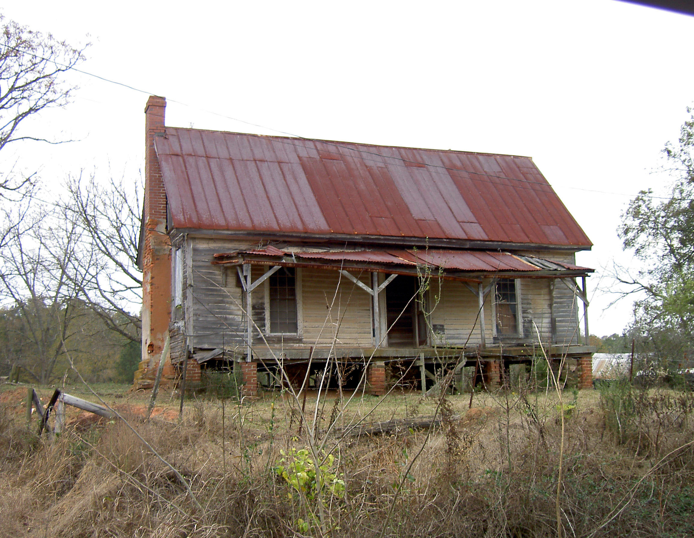
Jasper County GHM 070-1
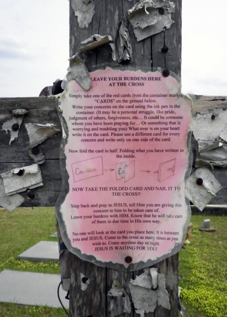
Closer View of the "Leave Your Burdens Here" Sign
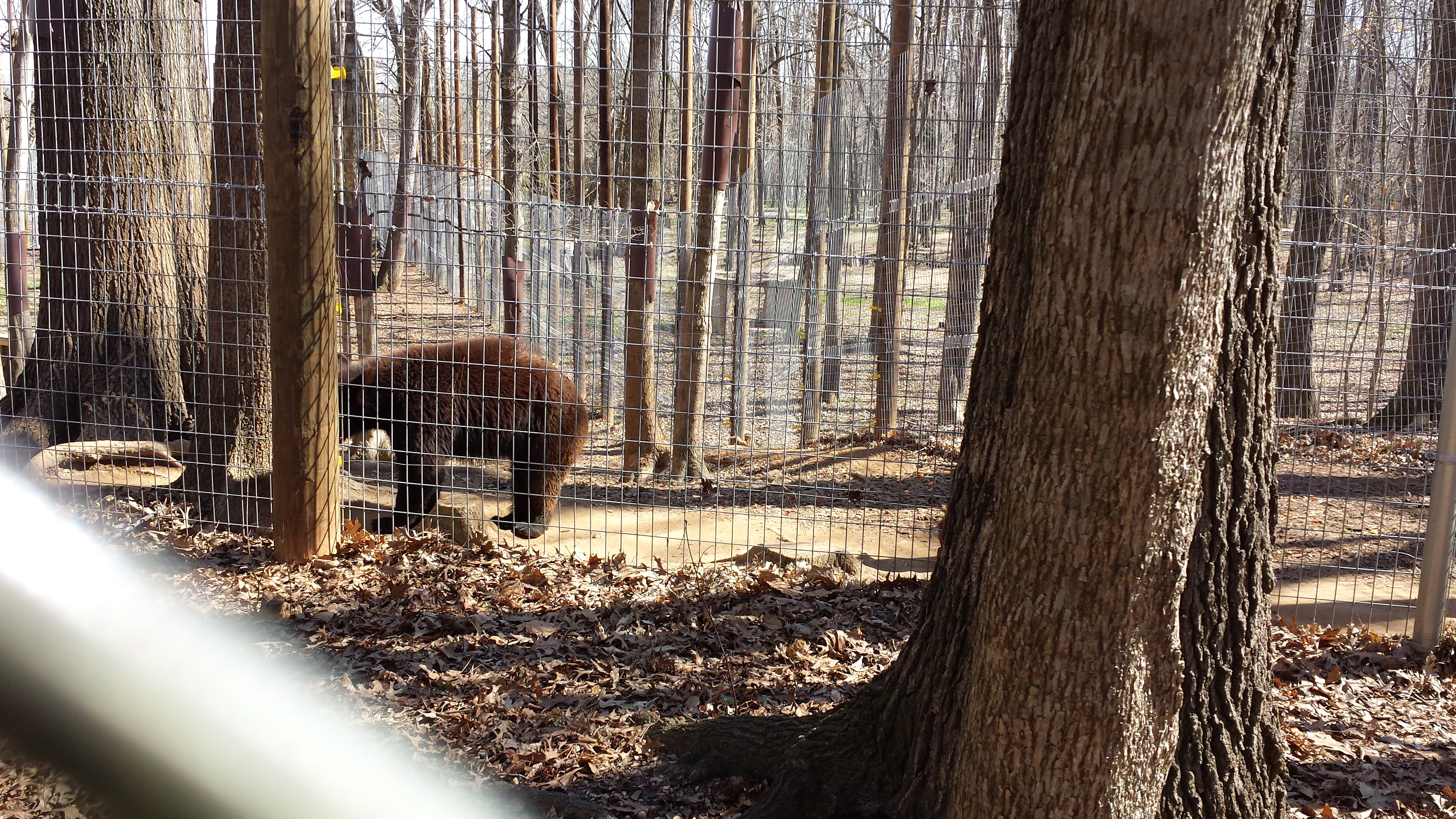
Valentine's Day 2015 - Noahs Ark Animal Sanctuary
Hwy 11 South
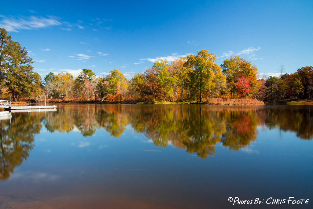
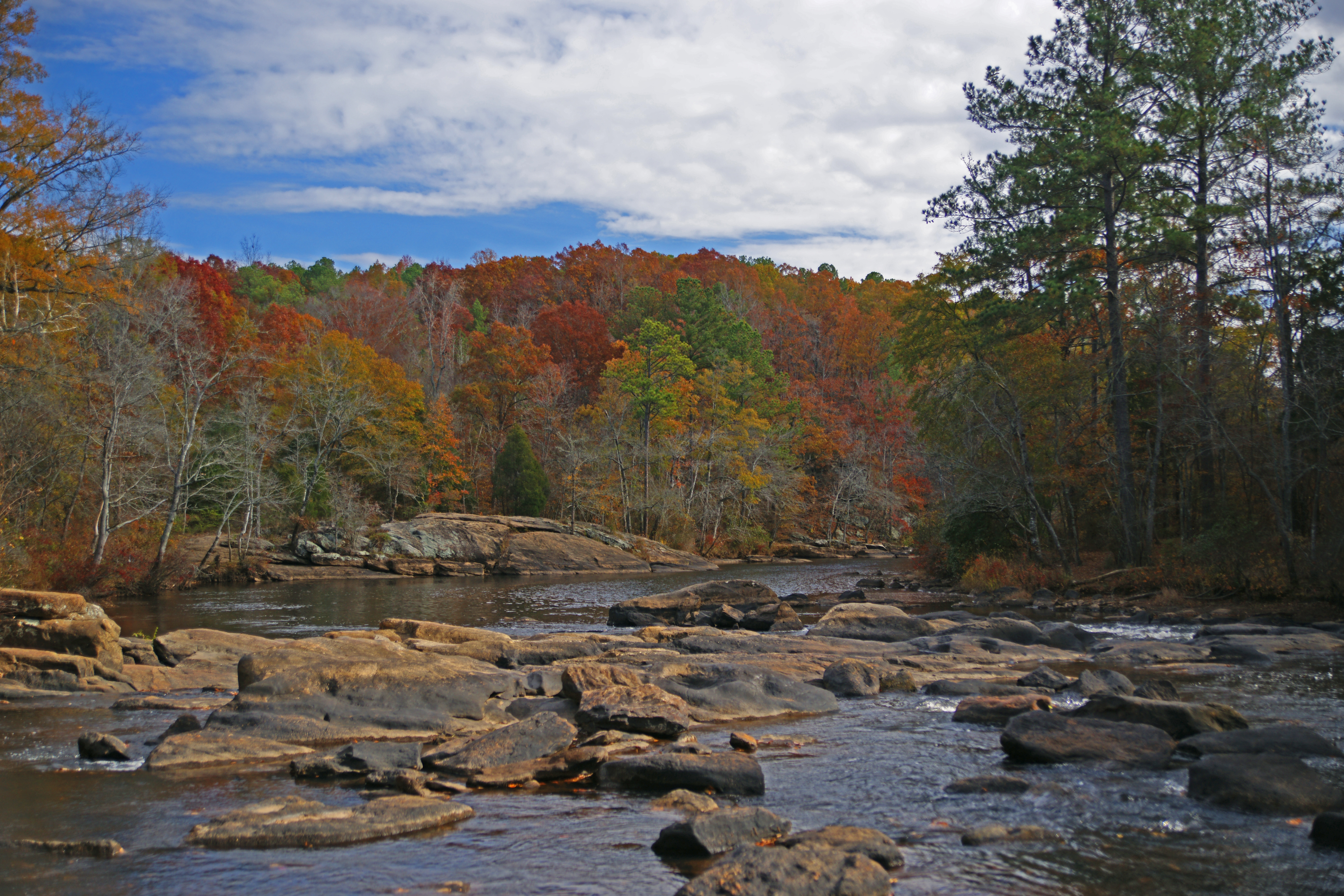
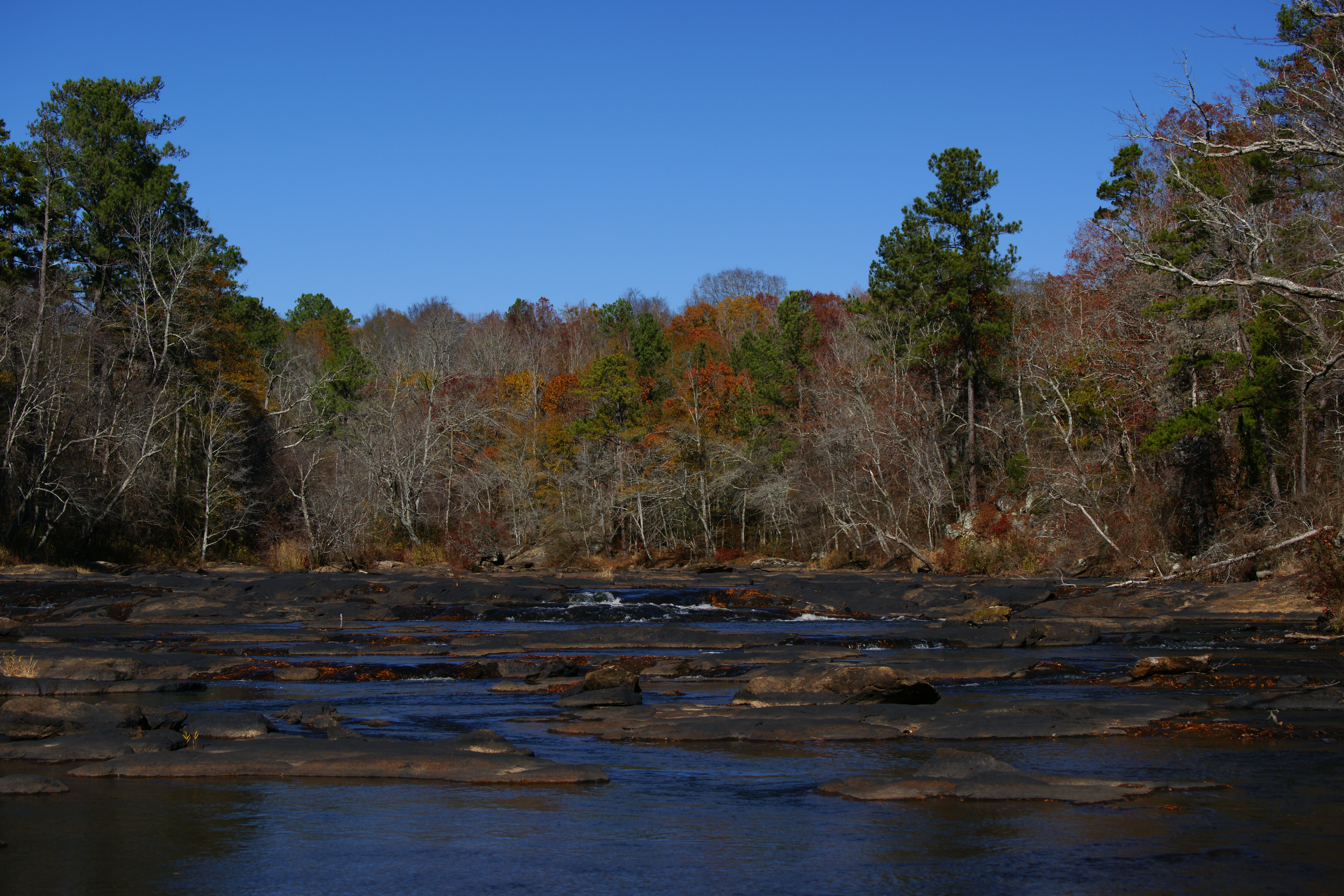
Fall Colors - Dairy Pond
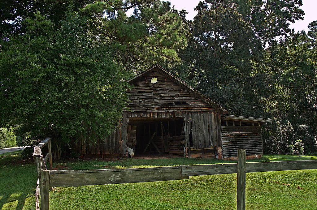
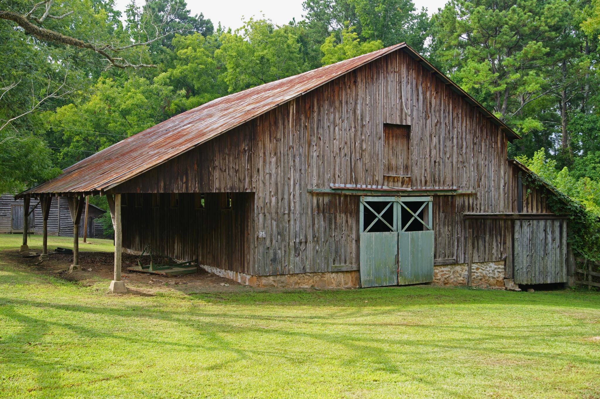
Old Barn

Charles Elliott9
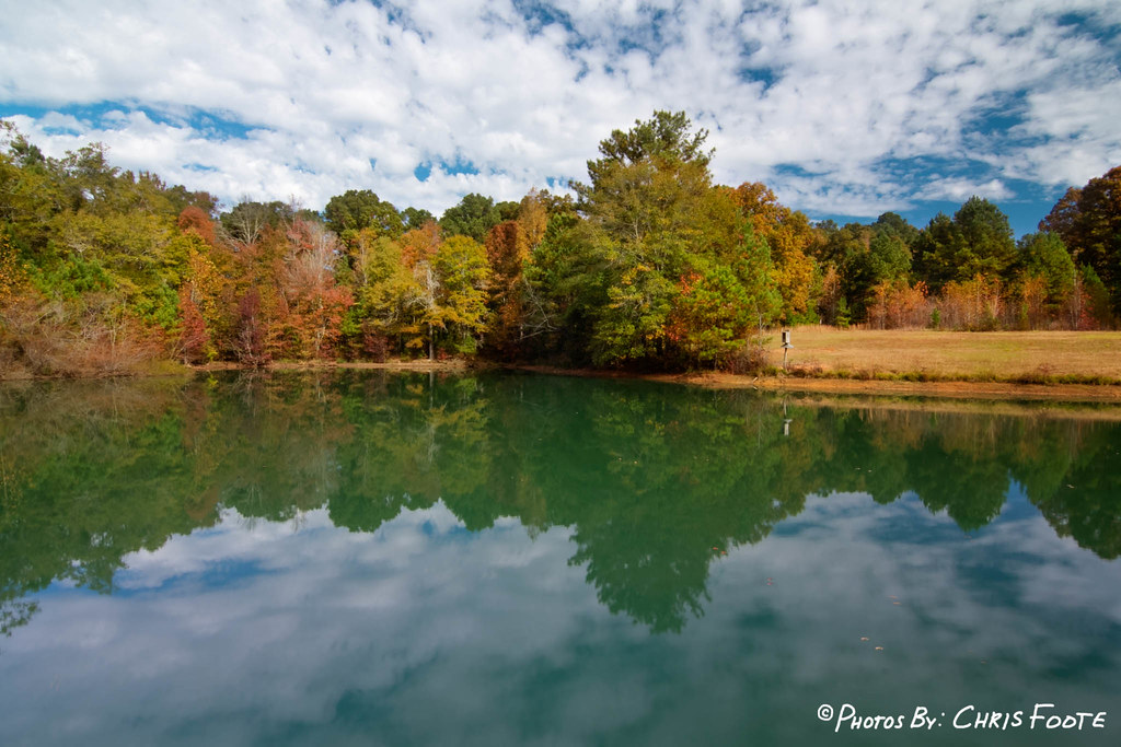
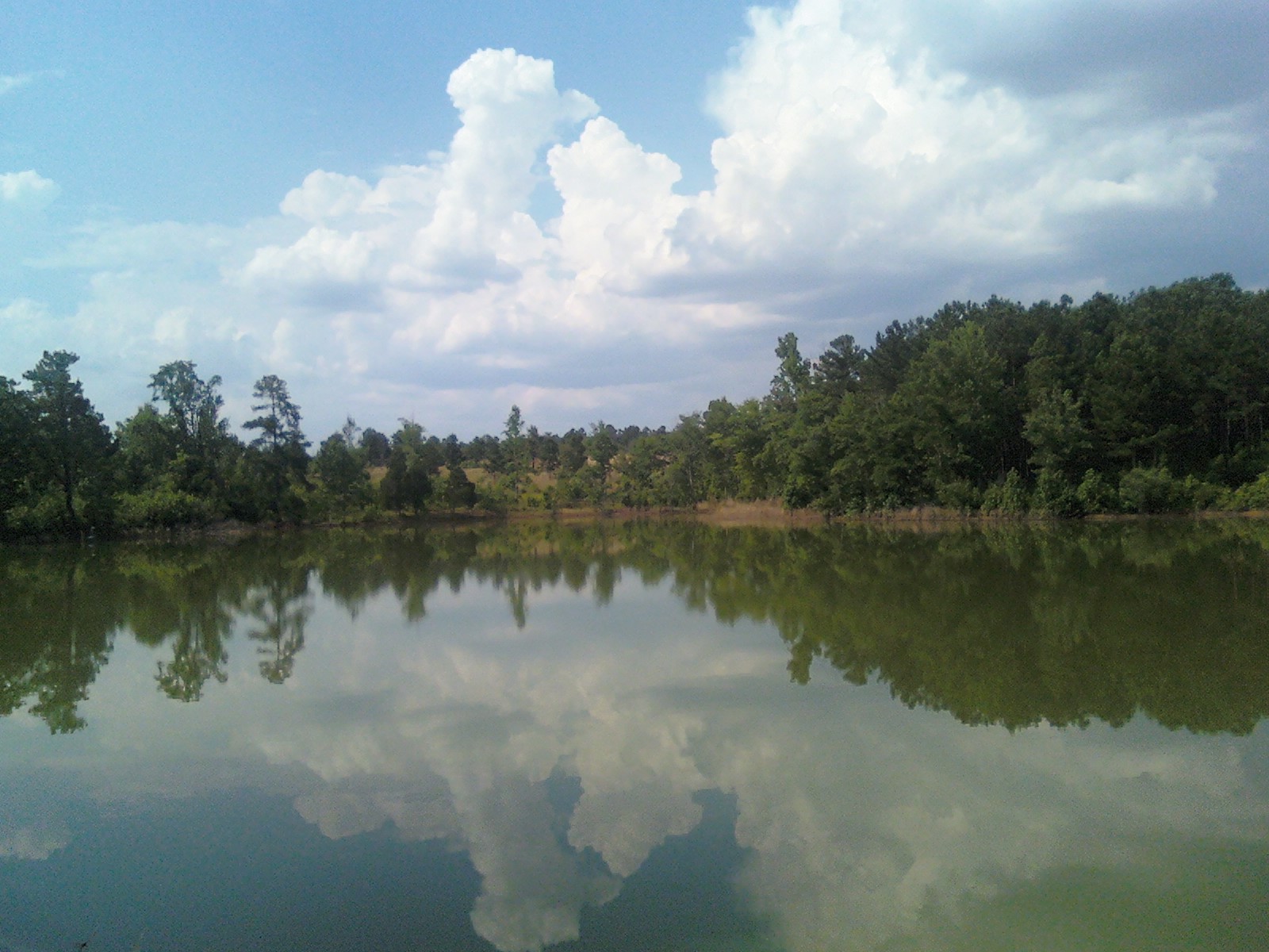
Fall Colors - Dove Pond

Fall Colors - Dove Pond
_DSC0263_edited-1.jpg

Fall Colors - Whitetail Pond
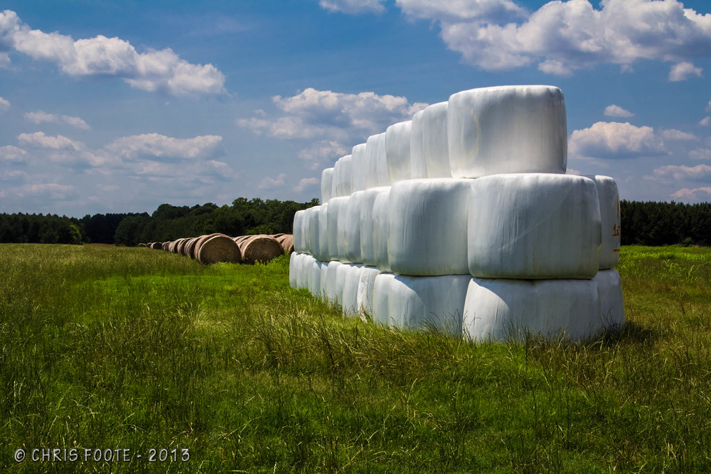
Marshmallow Field
Lake Jackson_100

Charlie Elliott Wildlife Center
_DSC7913_edited-1
June 25--Charlie Elliott Wildlife Cntr.
_DSC0343.JPG

Lake Jackson_091
Lake Jackson_070

Charles Elliott6
Topographic Map of Jasper County, GA, USA
Find elevation by address:

Places in Jasper County, GA, USA:
Places near Jasper County, GA, USA:
Post Rd, Monticello, GA, USA
33 Edwards Rd, Monticello, GA, USA
Monticello
Post Rd, Monticello, GA, USA
McElheney Crossroad, Monticello, GA, USA
3024 Jackson Lake Rd
GA-, Monticello, GA, USA
Georgia 212 & Jackson Lake Road
100 Falcon Cir
365 Falcon Cir
50 Osprey Ct
60 Kingfisher Ct, Monticello, GA, USA
129 Pittmans Ferry Rd
172 Tater Hill Rd
Jackson Lake
Campbell Rd, Covington, GA, USA
955 Campbell Rd
120 Friddell Rd
118 Friddell Rd
119 Friddell Rd
Recent Searches:
- Elevation of Homestead Ridge, New Braunfels, TX, USA
- Elevation of Orchard Road, Orchard Rd, Marlborough, NY, USA
- Elevation of 12 Hutchinson Woods Dr, Fletcher, NC, USA
- Elevation of Holloway Ave, San Francisco, CA, USA
- Elevation of Norfolk, NY, USA
- Elevation of - San Marcos Pass Rd, Santa Barbara, CA, USA
- Elevation of th Pl SE, Issaquah, WA, USA
- Elevation of 82- D Rd, Captain Cook, HI, USA
- Elevation of Harlow CM20 2PR, UK
- Elevation of Shenyang Agricultural University, Dong Ling Lu, Shen He Qu, Shen Yang Shi, Liao Ning Sheng, China