Elevation of Otis Redding Rd, Hillsboro, GA, USA

Location: United States > Georgia > Jasper County > Hillsboro >

Longitude: -83.589399

Latitude: 33.091976

Elevation: 166m / 545feet

Barometric Pressure: 99KPa

Elevation Map:

elevation map of Otis Redding Rd, Hillsboro, GA, USA

Satellite Map:

Satellite map of Otis Redding Rd, Hillsboro, GA, USA

Related Photos:

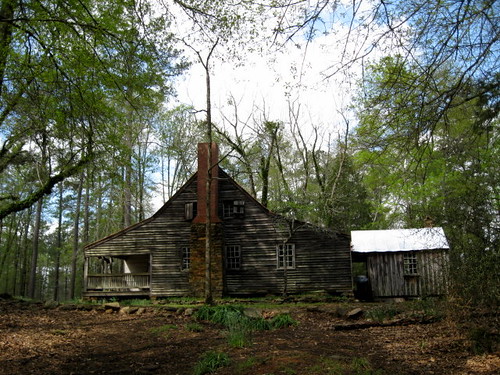
ga georgia us ksu kennesaw jonescounty kennesawstateuniversity eastjuliette jarrellplantationstatehistoricsite johnfitzjarrell lawrenceewalker centerforafricanandafricandiasporastudies departmentofarchivesspecialcollectionsandrecordsmanagement
Main house, Jarrell Plantation State Historic Site
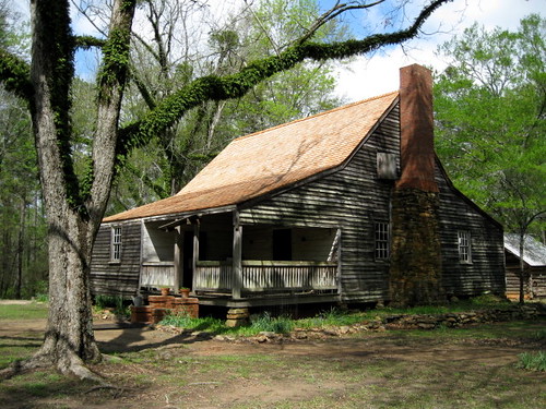
house ga georgia us ksu kennesaw jonescounty kennesawstateuniversity eastjuliette jarrellplantationstatehistoricsite johnfitzjarrell lawrenceewalker centerforafricanandafricandiasporastudies departmentofarchivesspecialcollectionsandrecordsmanagement
Main house, Jarrell Plantation State Historic Site
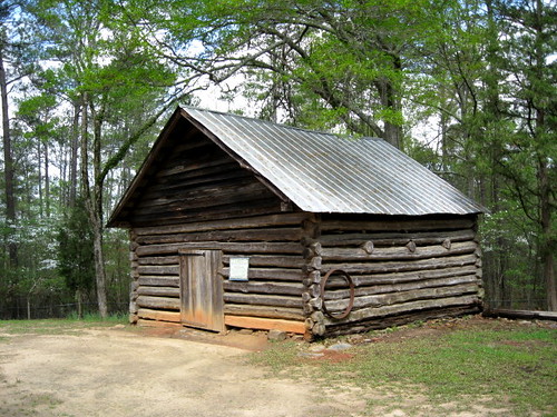
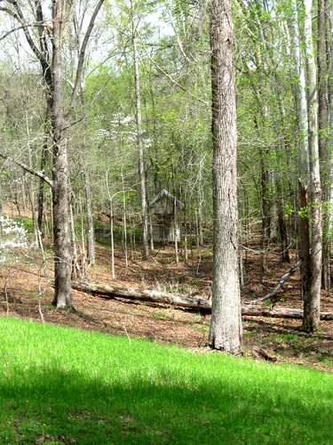
wood trees ga georgia us ksu grounds kennesaw outbuilding smokehouse jonescounty kennesawstateuniversity eastjuliette jarrellplantationstatehistoricsite johnfitzjarrell lawrenceewalker centerforafricanandafricandiasporastudies departmentofarchivesspecialcollectionsandrecordsmanagement
Smokehouse, Jarrell Plantation State Historic Site
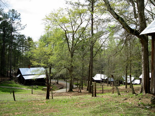
kennesawstateuniversity ksu kennesaw georgia ga us jarrellplantationstatehistoricsite eastjuliette jonescounty johnfitzjarrell centerforafricanandafricandiasporastudies lawrenceewalker departmentofarchivesspecialcollectionsandrecordsmanagement outbuildings grounds trees
Outbuildings, Jarrell Plantation State Historic Site
trees ga georgia us ksu grounds kennesaw outbuilding jonescounty kennesawstateuniversity eastjuliette jarrellplantationstatehistoricsite johnfitzjarrell centerforafricanafricandiasporastudies lawrenceewalker departmentofarchivesspecialcollectionsrecordsmanagement
Grounds, Jarrell Plantation State Historic Site
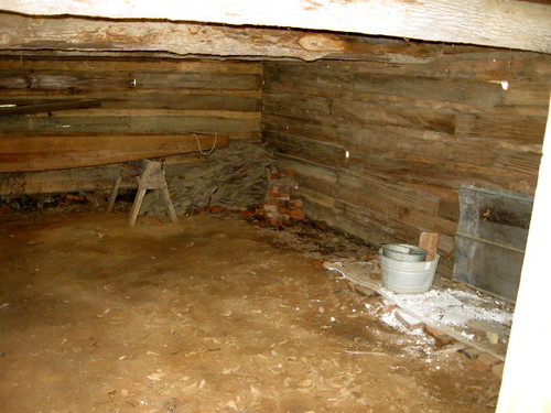
wood ga georgia us interior ksu grounds kennesaw outbuilding smokehouse jonescounty kennesawstateuniversity eastjuliette jarrellplantationstatehistoricsite johnfitzjarrell lawrenceewalker centerforafricanandafricandiasporastudies departmentofarchivesspecialcollectionsandrecordsmanagement
Smokehouse interior, Jarrell Plantation State Historic Site
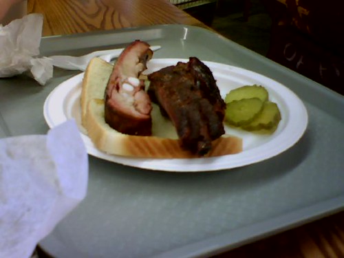
georgia geotagged clinton lowres outabout hwy22 jonescounty lgcu500 awesomeishotthat dbb1 Geo:lat=32995266 geo:lon=83559469 oldclintonbarbeque mikerowedirtyjobs
Rib sandwich
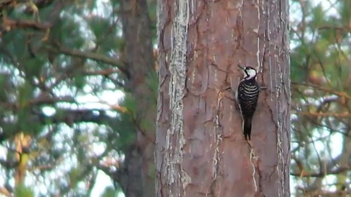
Red-cockaded Woodpecker
Hillsboro neg SWWA hab
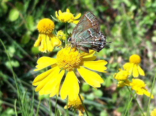
Juniper Hairstreak
instagramapp square squareformat iphoneography uploaded:by=instagram
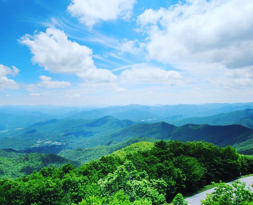
#brasstownbald #georgia #mountains #sky #clouds #cloudsporn #nature_perfection #nature #naturephotography #nature_brilliance
153-5337_IMG
153-5335_IMG
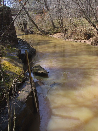
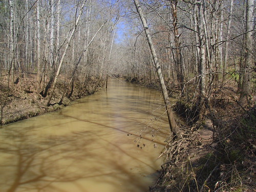
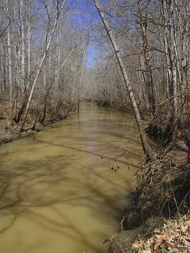
USGS 02212600 FALLING CREEK NEAR JULIETTE, GA
georgia juliette sawmill ginhouse jarrellplantationhistoricsite
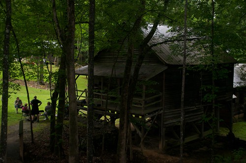
Jarrell Plantation Historic Site (66) Gin House