Elevation of Post Rd, Monticello, GA, USA
Location: United States > Georgia >
Longitude: -83.6910879
Latitude: 33.324364
Elevation: 163m / 535feet
Barometric Pressure: 0KPa
Related Photos:
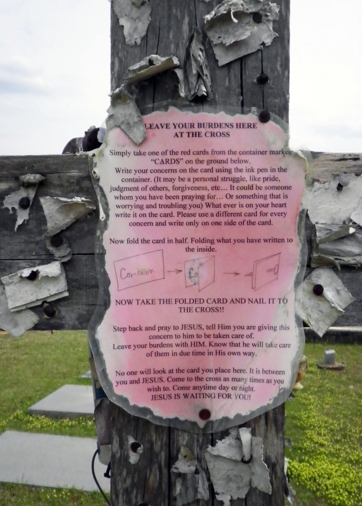
Closer View of the "Leave Your Burdens Here" Sign

Bearlax Historic Wall Ad View 2
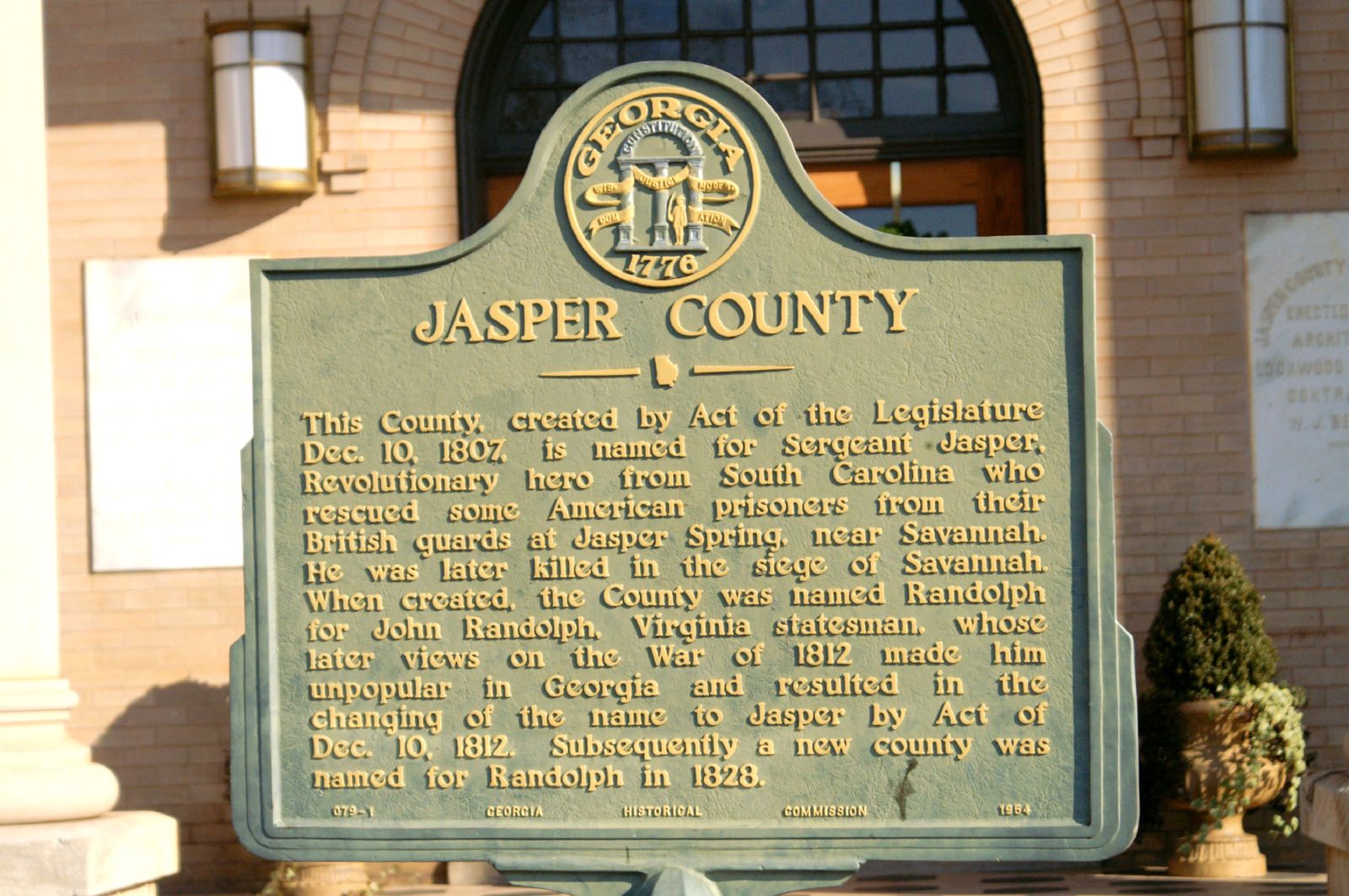
Jasper County GHM 070-1
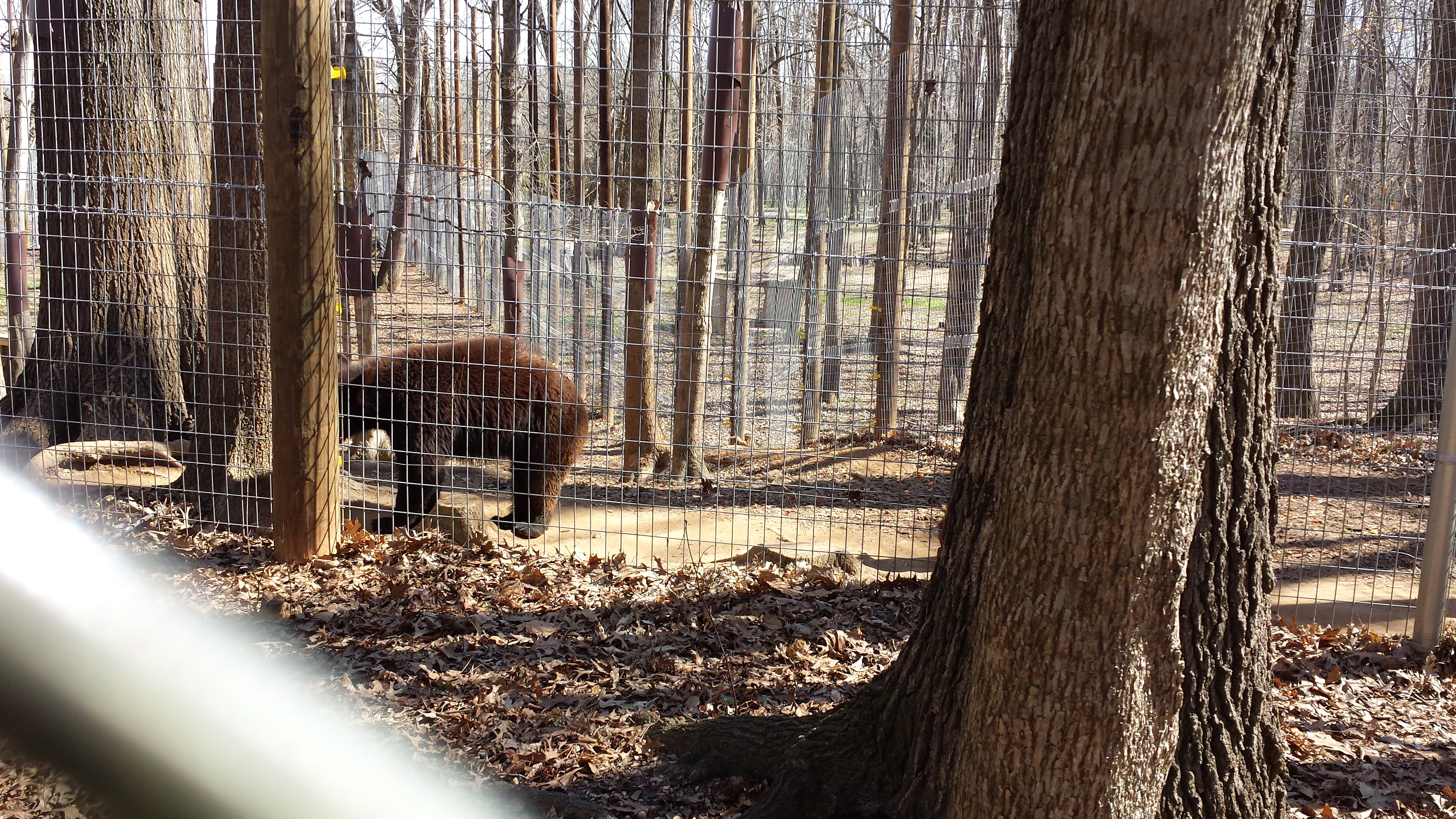
Valentine's Day 2015 - Noahs Ark Animal Sanctuary
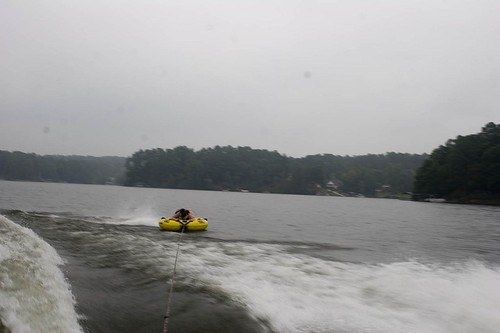
Lake Jackson_100
_DSC7913_edited-1
June 25--Charlie Elliott Wildlife Cntr.
Hwy 11 South

Lake Jackson_091
Lake Jackson_070
Topographic Map of Post Rd, Monticello, GA, USA
Find elevation by address:

Places near Post Rd, Monticello, GA, USA:
Monticello
Jasper County
33 Edwards Rd, Monticello, GA, USA
Post Rd, Monticello, GA, USA
McElheney Crossroad, Monticello, GA, USA
3024 Jackson Lake Rd
GA-, Monticello, GA, USA
Georgia 212 & Jackson Lake Road
100 Falcon Cir
365 Falcon Cir
50 Osprey Ct
60 Kingfisher Ct, Monticello, GA, USA
129 Pittmans Ferry Rd
172 Tater Hill Rd
Jackson Lake
Campbell Rd, Covington, GA, USA
955 Campbell Rd
120 Friddell Rd
118 Friddell Rd
119 Friddell Rd
Recent Searches:
- Elevation of 2800, Morehead Road, Withrow Downs, Charlotte, Mecklenburg County, North Carolina, 28262, USA
- Elevation of Yangbi Yi Autonomous County, Yunnan, China
- Elevation of Pingpo, Yangbi Yi Autonomous County, Yunnan, China
- Elevation of Mount Malong, Pingpo, Yangbi Yi Autonomous County, Yunnan, China
- Elevation map of Yongping County, Yunnan, China
- Elevation of North 8th Street, Palatka, Putnam County, Florida, 32177, USA
- Elevation of 107, Big Apple Road, East Palatka, Putnam County, Florida, 32131, USA
- Elevation of Jiezi, Chongzhou City, Sichuan, China
- Elevation of Chongzhou City, Sichuan, China
- Elevation of Huaiyuan, Chongzhou City, Sichuan, China
- Elevation of Qingxia, Chengdu, Sichuan, China
- Elevation of Corso Fratelli Cairoli, 35, Macerata MC, Italy
- Elevation of Tallevast Rd, Sarasota, FL, USA
- Elevation of 4th St E, Sonoma, CA, USA
- Elevation of Black Hollow Rd, Pennsdale, PA, USA
- Elevation of Oakland Ave, Williamsport, PA, USA
- Elevation of Pedrógão Grande, Portugal
- Elevation of Klee Dr, Martinsburg, WV, USA
- Elevation of Via Roma, Pieranica CR, Italy
- Elevation of Tavkvetili Mountain, Georgia