Elevation of South Shoshone Peak, Nevada, USA
Location: United States > Nevada > Austin >
Longitude: -117.56121
Latitude: 39.056038
Elevation: 2993m / 9820feet
Barometric Pressure: 70KPa
Elevation Map:
Satellite Map:
Related Photos:

West Central NV 100

abandoned house

Reese Valley going north to 50
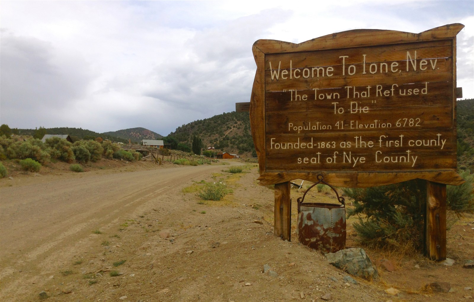
Ione 001
Ione 005
Ione 006
On Highway 844
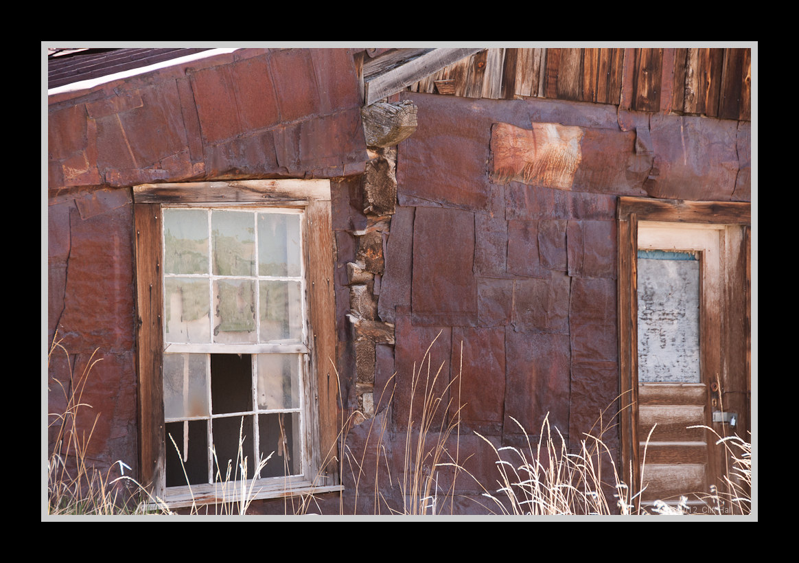
Patchwork house
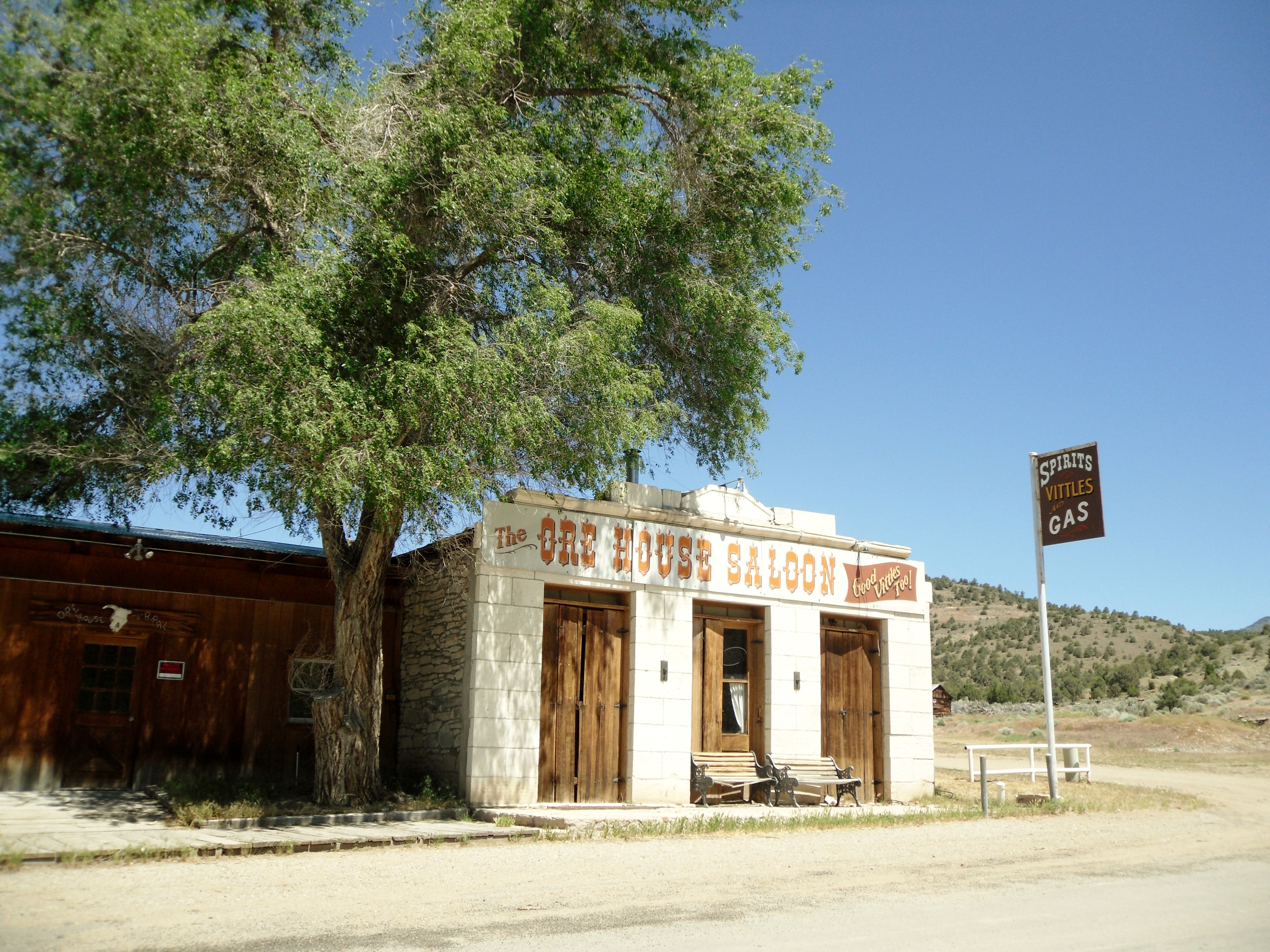
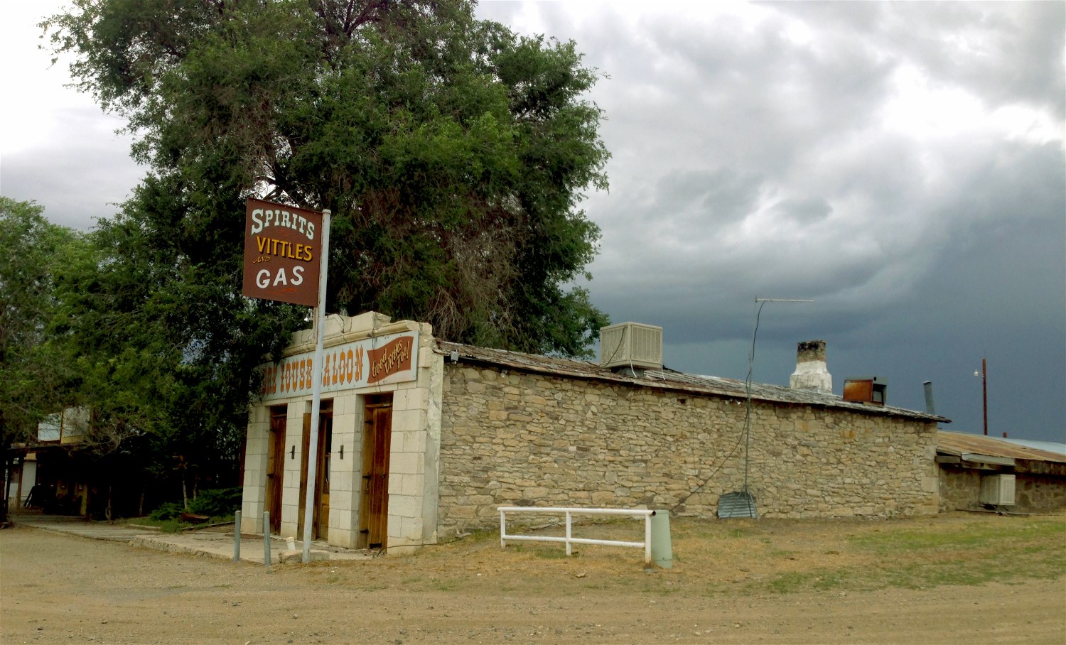
Famous Ore House Saloon in Ione, Nevada

West Central NV 95

West Central NV 94

West Central NV 93

West Central NV 99

West Central NV 98

West Central NV 96

West Central NV 97

fence & houses

abandoned town

abandoned house
Topographic Map of South Shoshone Peak, Nevada, USA
Find elevation by address:

Places near South Shoshone Peak, Nevada, USA:
North Shoshone Peak
Grantsville Ridge
Columbine Campground
Sherman Peak
South Toiyabe Peak
San Juan Campground
Humboldt-toiyabe National Forest
French Peak
Toiyabe Range Peak
Peavine Mountain
Mahogany Mountain
Toiyabe Dome
Gabbs
Carvers
Big Creek Peak
Nevada 376
North Toiyabe Peak
Round Mountain
Mount Jefferson, North Summit
Spanish Peak
Recent Searches:
- Elevation of Corso Fratelli Cairoli, 35, Macerata MC, Italy
- Elevation of Tallevast Rd, Sarasota, FL, USA
- Elevation of 4th St E, Sonoma, CA, USA
- Elevation of Black Hollow Rd, Pennsdale, PA, USA
- Elevation of Oakland Ave, Williamsport, PA, USA
- Elevation of Pedrógão Grande, Portugal
- Elevation of Klee Dr, Martinsburg, WV, USA
- Elevation of Via Roma, Pieranica CR, Italy
- Elevation of Tavkvetili Mountain, Georgia
- Elevation of Hartfords Bluff Cir, Mt Pleasant, SC, USA