Elevation of Gabbs, NV, USA
Location: United States > Nevada >
Longitude: -117.92288
Latitude: 38.8690562
Elevation: 1435m / 4708feet
Barometric Pressure: 85KPa
Elevation Map:
Satellite Map:
Related Photos:

West Central NV 117

West Central NV 116

West Central NV 102
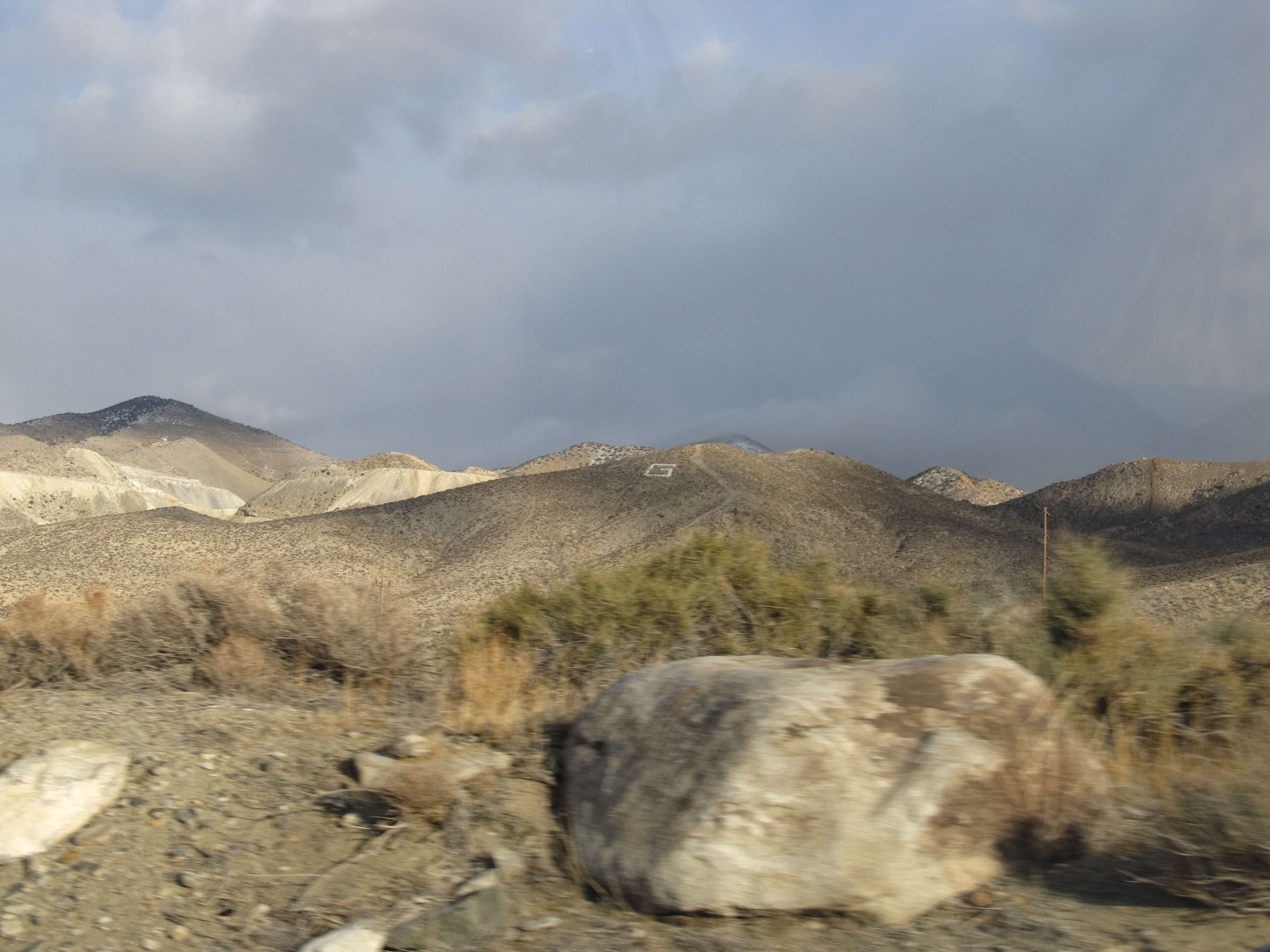
"G" on the Mountain for Gabbs, Nevada
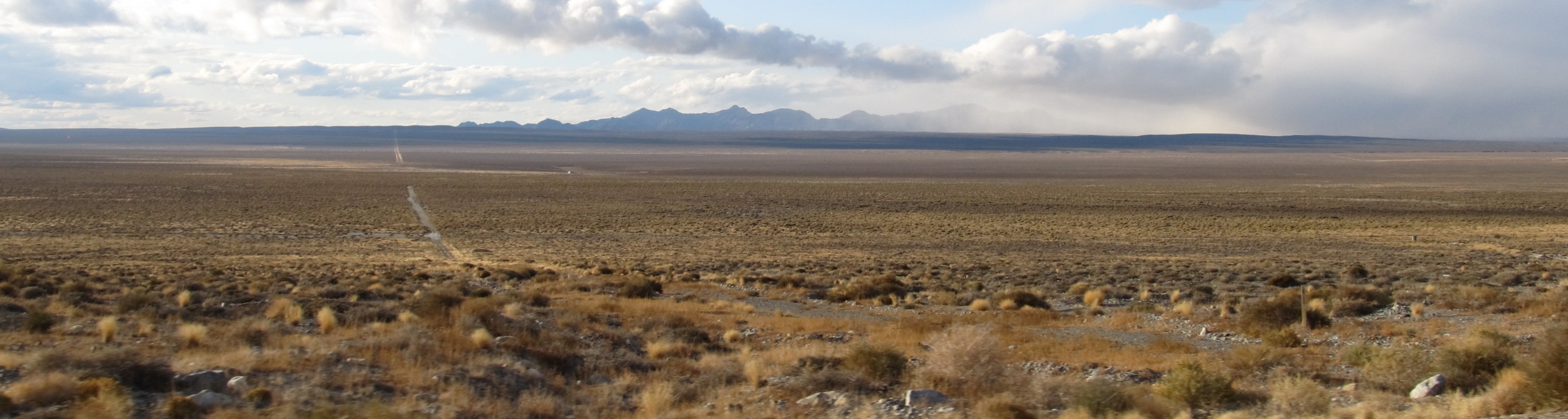
Gabbs Valley, S.R. 361, Near Gabbs, Nevada
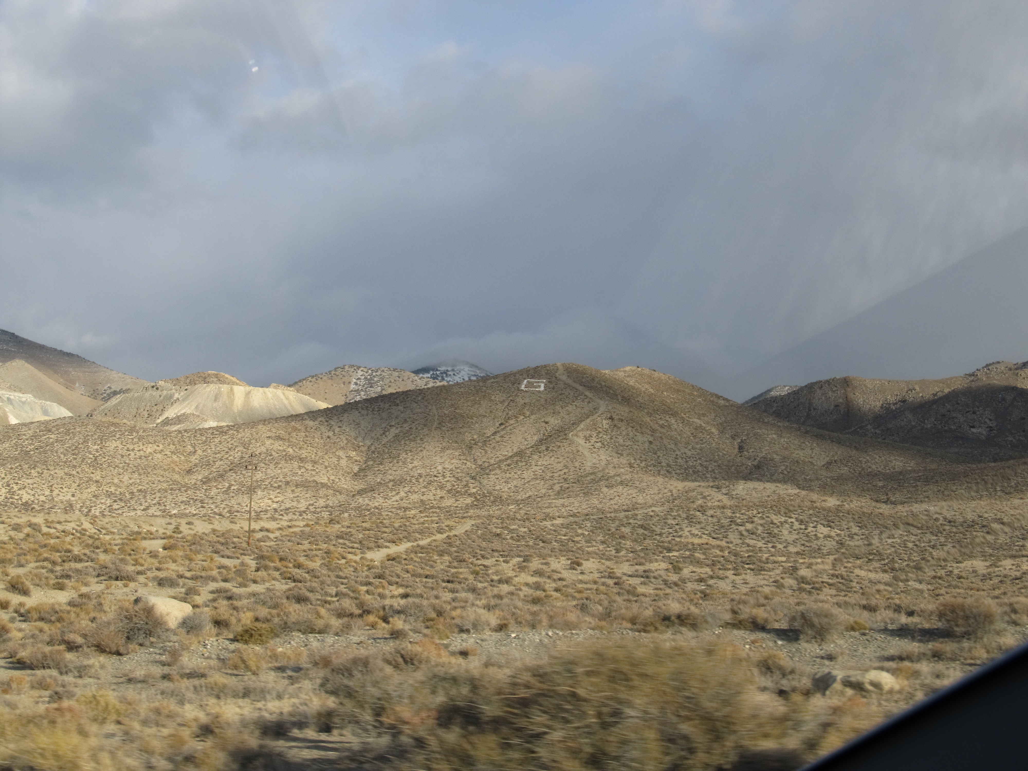
"G" on the Mountain for Gabbs, Nevada

West Central NV 111

West Central NV 114

West Central NV 105

West Central NV 107

West Central NV 118

West Central NV 106

West Central NV 103

West Central NV 119
Topographic Map of Gabbs, NV, USA
Find elevation by address:

Places in Gabbs, NV, USA:
Places near Gabbs, NV, USA:
Sherman Peak
Grantsville Ridge
Muller Mountain
South Shoshone Peak
Humboldt-toiyabe National Forest
Mina
North Shoshone Peak
Pilot Peak
Columbine Campground
Peavine Mountain
South Toiyabe Peak
Mahogany Mountain
French Peak
Toiyabe Dome
San Juan Campground
Toiyabe Range Peak
Carvers
Nevada 376
Round Mountain
Big Creek Peak
Recent Searches:
- Elevation of Corso Fratelli Cairoli, 35, Macerata MC, Italy
- Elevation of Tallevast Rd, Sarasota, FL, USA
- Elevation of 4th St E, Sonoma, CA, USA
- Elevation of Black Hollow Rd, Pennsdale, PA, USA
- Elevation of Oakland Ave, Williamsport, PA, USA
- Elevation of Pedrógão Grande, Portugal
- Elevation of Klee Dr, Martinsburg, WV, USA
- Elevation of Via Roma, Pieranica CR, Italy
- Elevation of Tavkvetili Mountain, Georgia
- Elevation of Hartfords Bluff Cir, Mt Pleasant, SC, USA