Elevation of San Juan Campground, Carvers, NV, United States
Location: United States > Nevada > Austin >
Longitude: -117.2724
Latitude: 39.1206
Elevation: 2275m / 7464feet
Barometric Pressure: 77KPa
Elevation Map:
Satellite Map:
Related Photos:
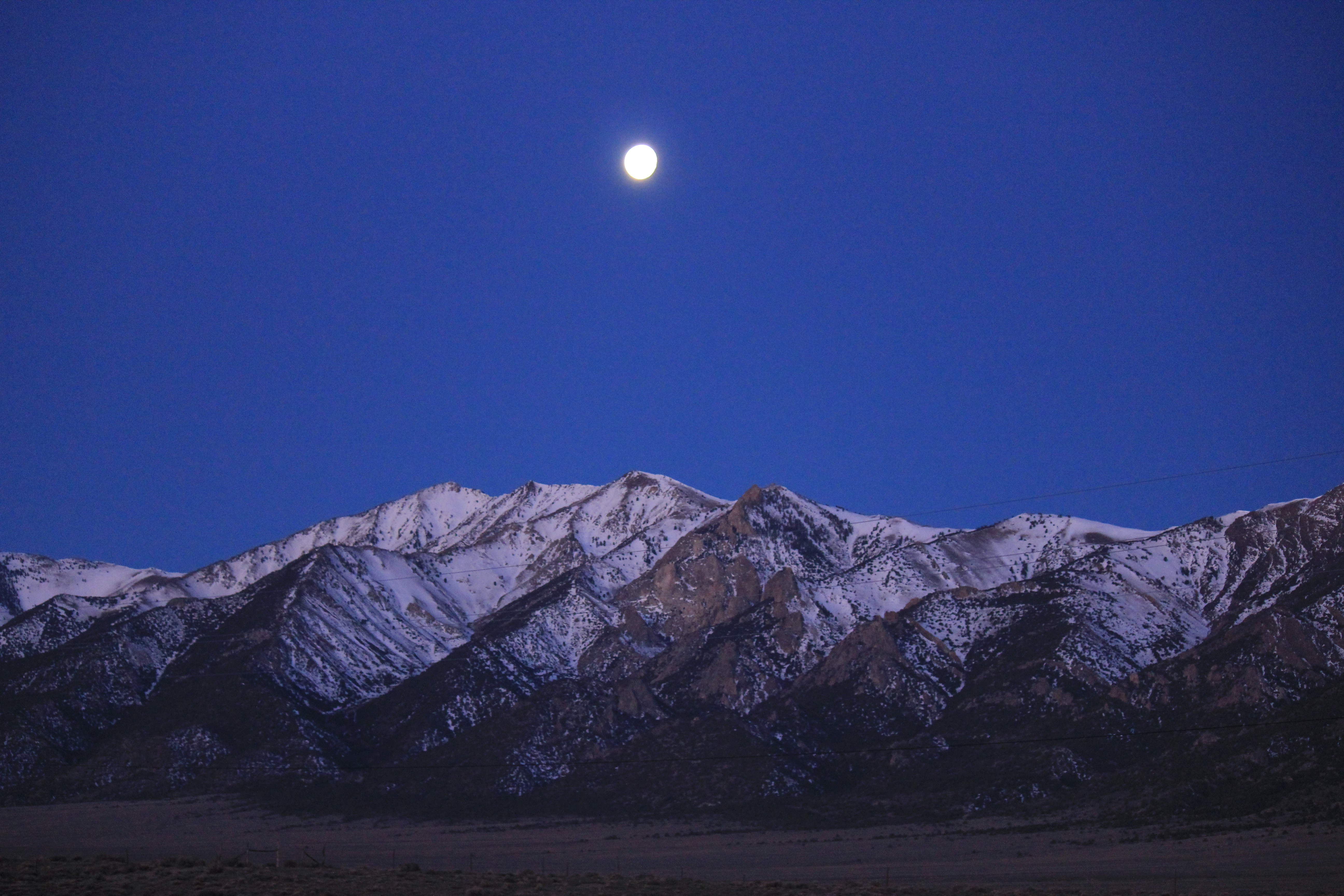
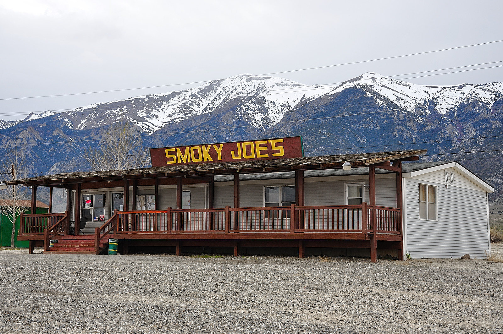
IMG_1783.jpg
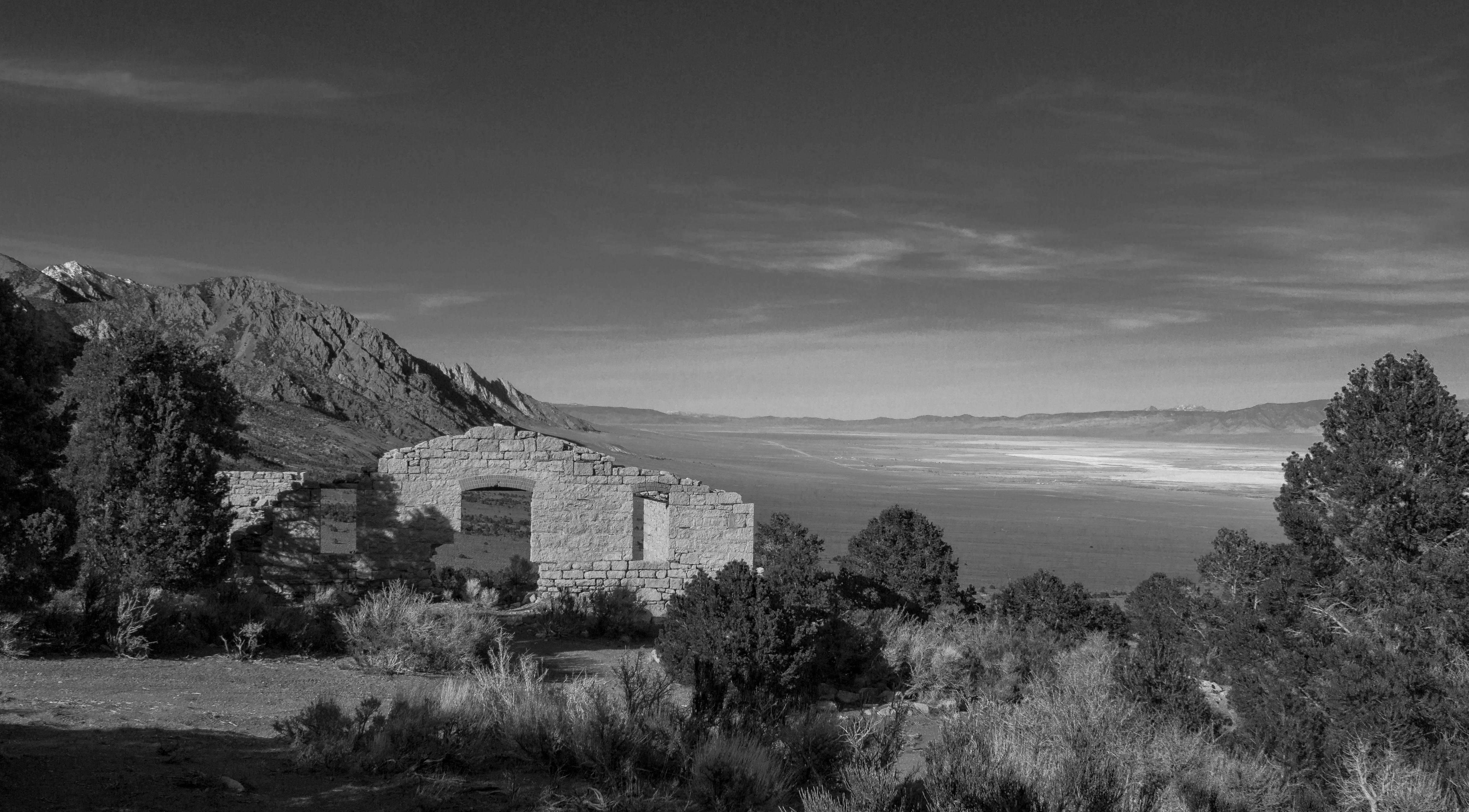
Mill at Park Canyon Nevada
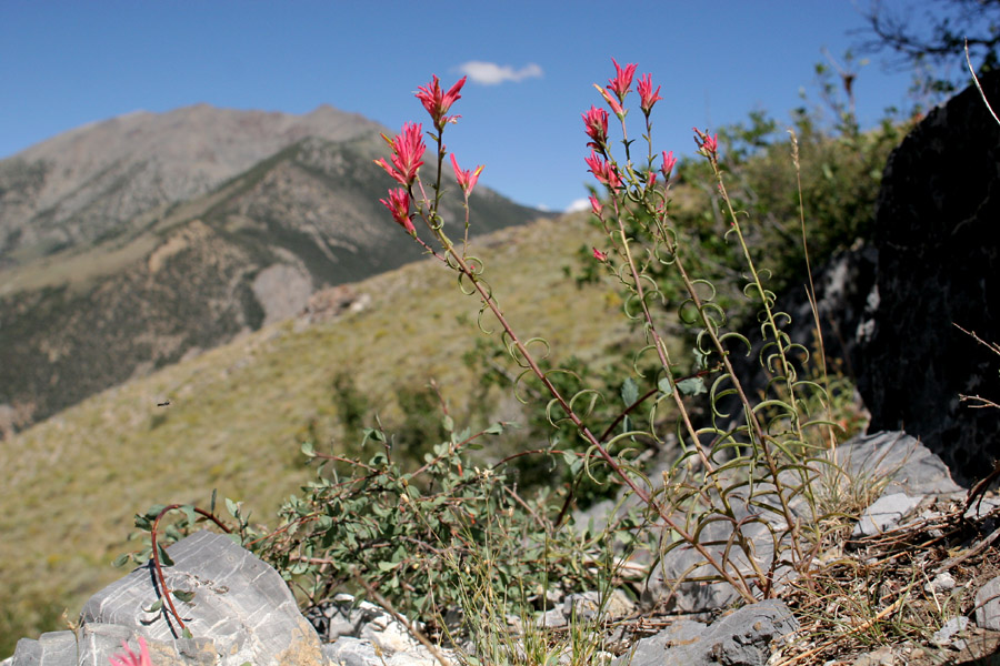
Castilleja linariifolia
Nye County
Nye County
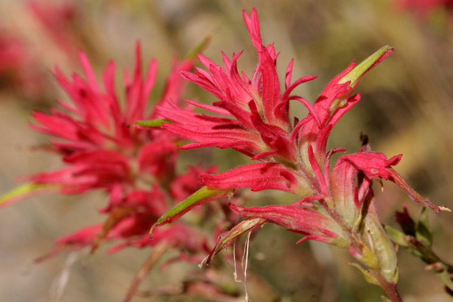
Castilleja linariifolia
Reese Valley, NV (0746)

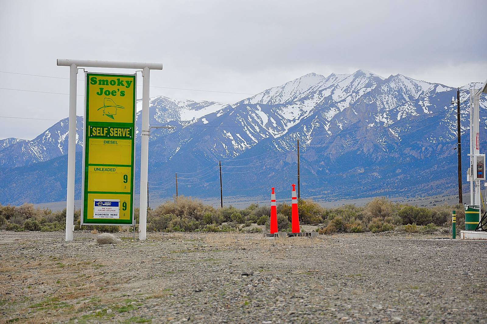
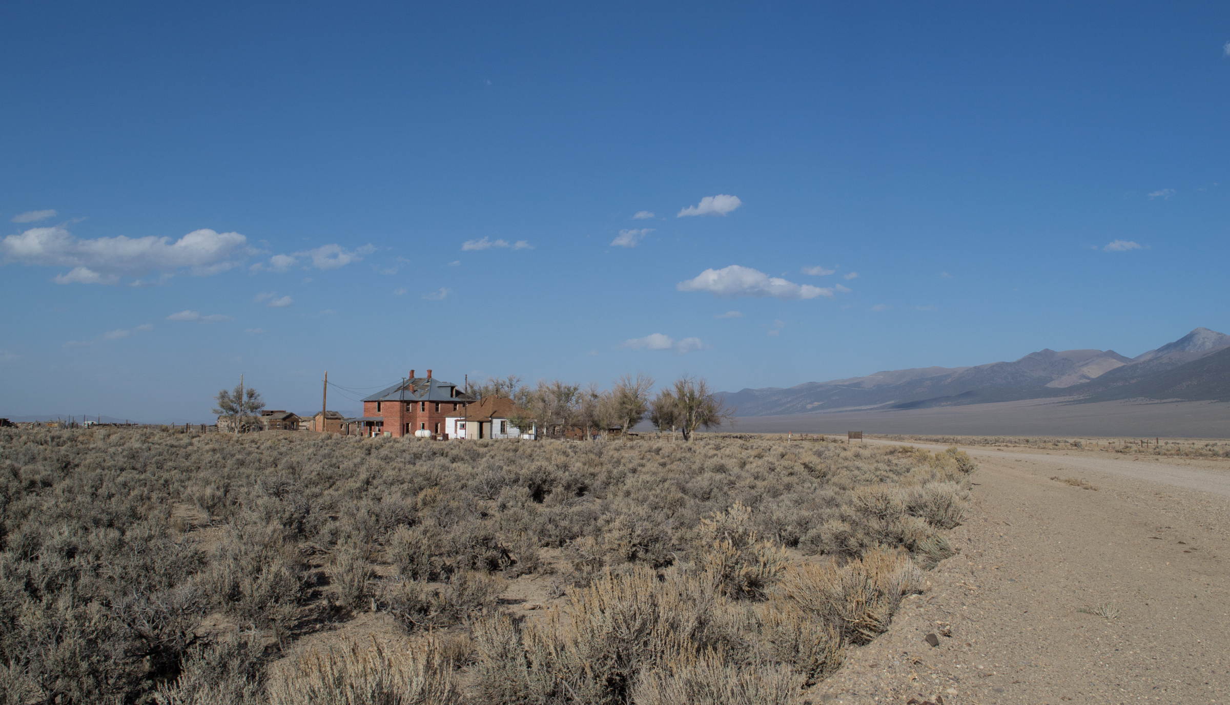
Hess Ranch 1
Topographic Map of San Juan Campground, Carvers, NV, United States
Find elevation by address:

Places near San Juan Campground, Carvers, NV, United States:
Toiyabe Range Peak
French Peak
South Toiyabe Peak
North Shoshone Peak
Big Creek Peak
Columbine Campground
South Shoshone Peak
North Toiyabe Peak
Toiyabe Dome
Carvers
Mahogany Mountain
Peavine Mountain
Humboldt-toiyabe National Forest
Nevada 376
Grantsville Ridge
Mount Gooding
Wildcat Peak
Round Mountain
Mount Jefferson, North Summit
White Rock Mountain
Recent Searches:
- Elevation of Corso Fratelli Cairoli, 35, Macerata MC, Italy
- Elevation of Tallevast Rd, Sarasota, FL, USA
- Elevation of 4th St E, Sonoma, CA, USA
- Elevation of Black Hollow Rd, Pennsdale, PA, USA
- Elevation of Oakland Ave, Williamsport, PA, USA
- Elevation of Pedrógão Grande, Portugal
- Elevation of Klee Dr, Martinsburg, WV, USA
- Elevation of Via Roma, Pieranica CR, Italy
- Elevation of Tavkvetili Mountain, Georgia
- Elevation of Hartfords Bluff Cir, Mt Pleasant, SC, USA