Elevation of North Toiyabe Peak, Nevada, USA
Location: United States > Nevada > Austin >
Longitude: -117.07453
Latitude: 39.3599277
Elevation: 3261m / 10699feet
Barometric Pressure: 68KPa
Elevation Map:
Satellite Map:
Related Photos:

Route 50 campsite view
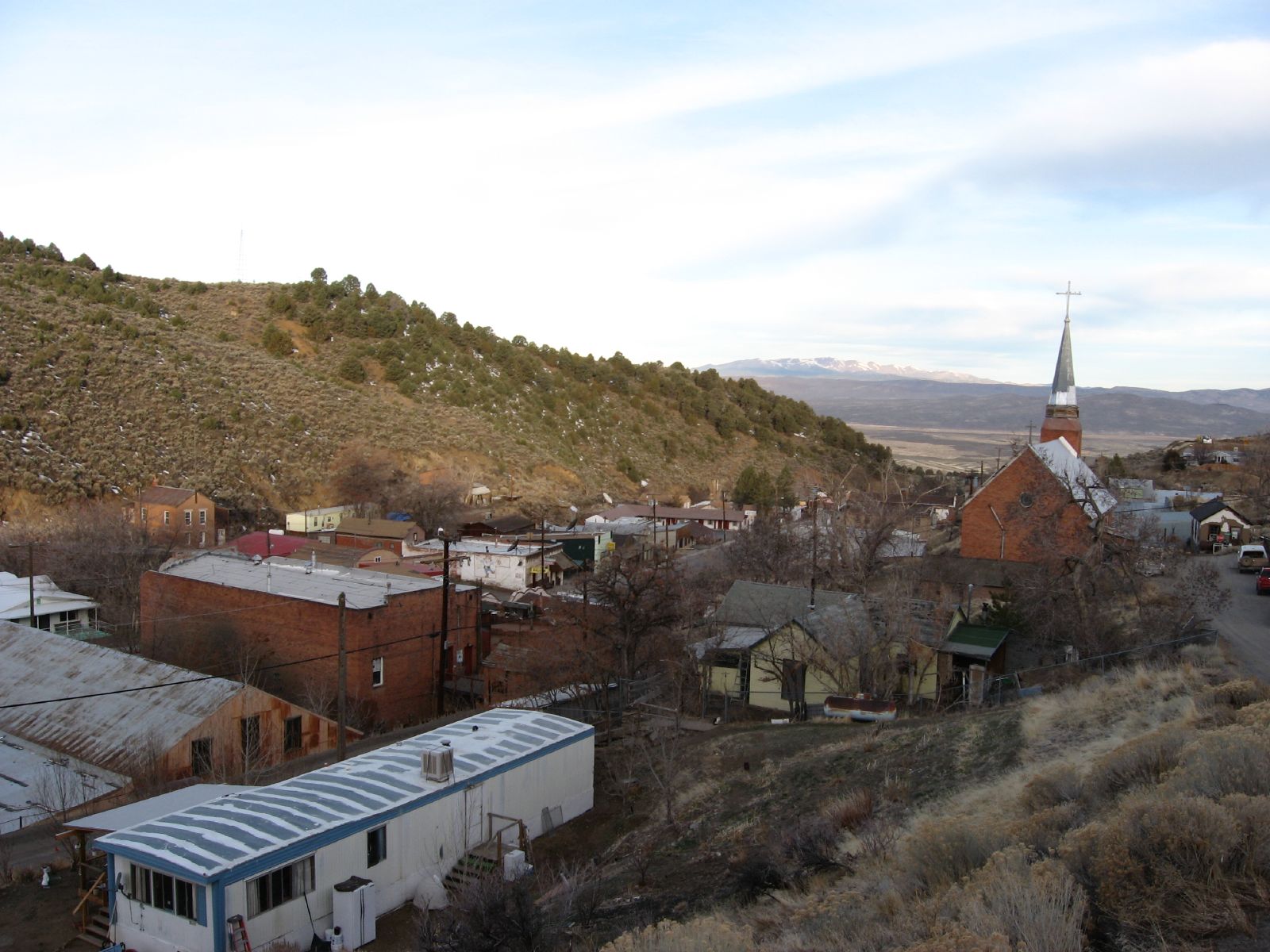
Broad View of Pony Canyon and Austin, Nevada
Austin Summit, Nevada
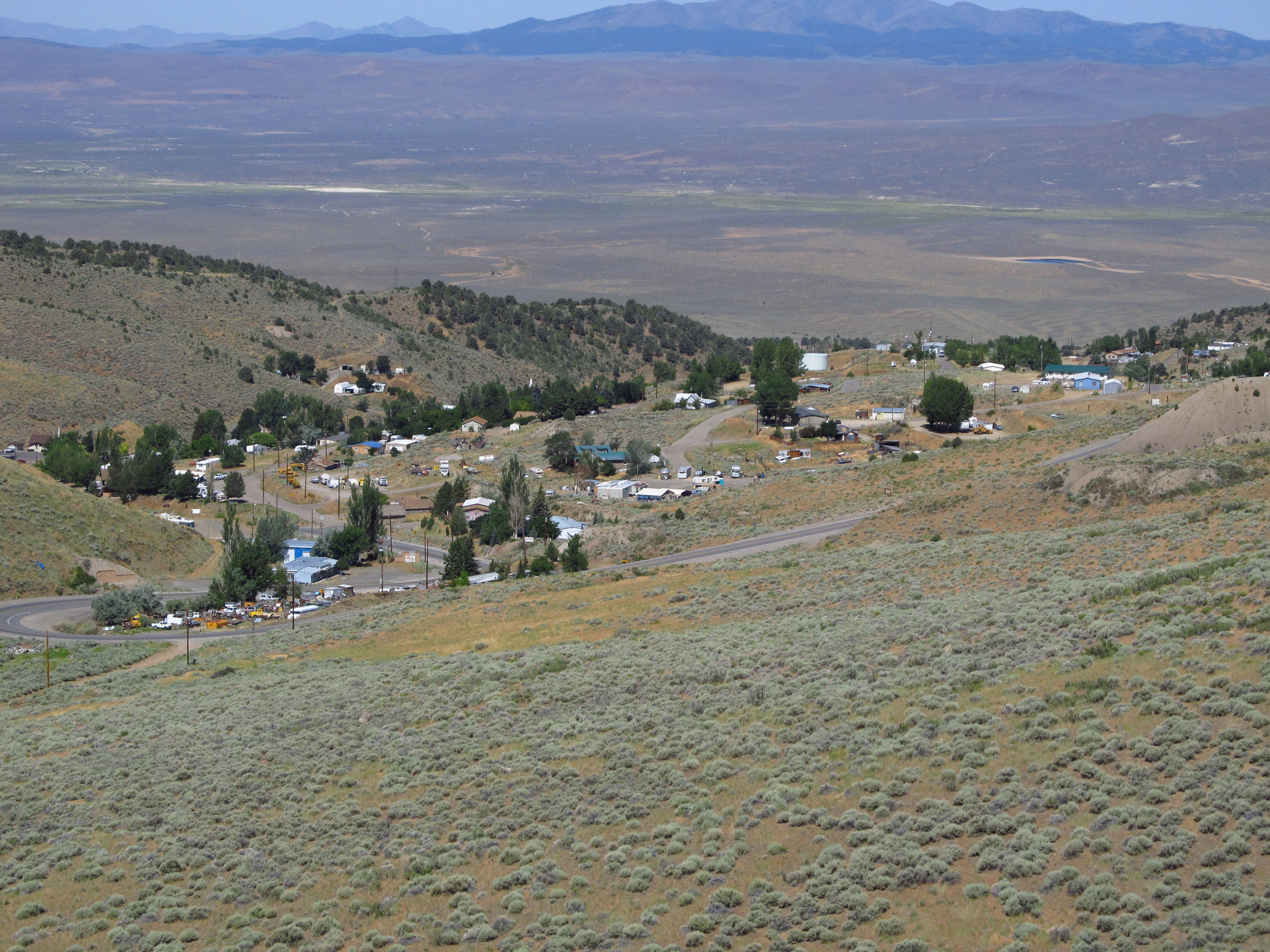
Austin, Nevada

Austin, Nevada
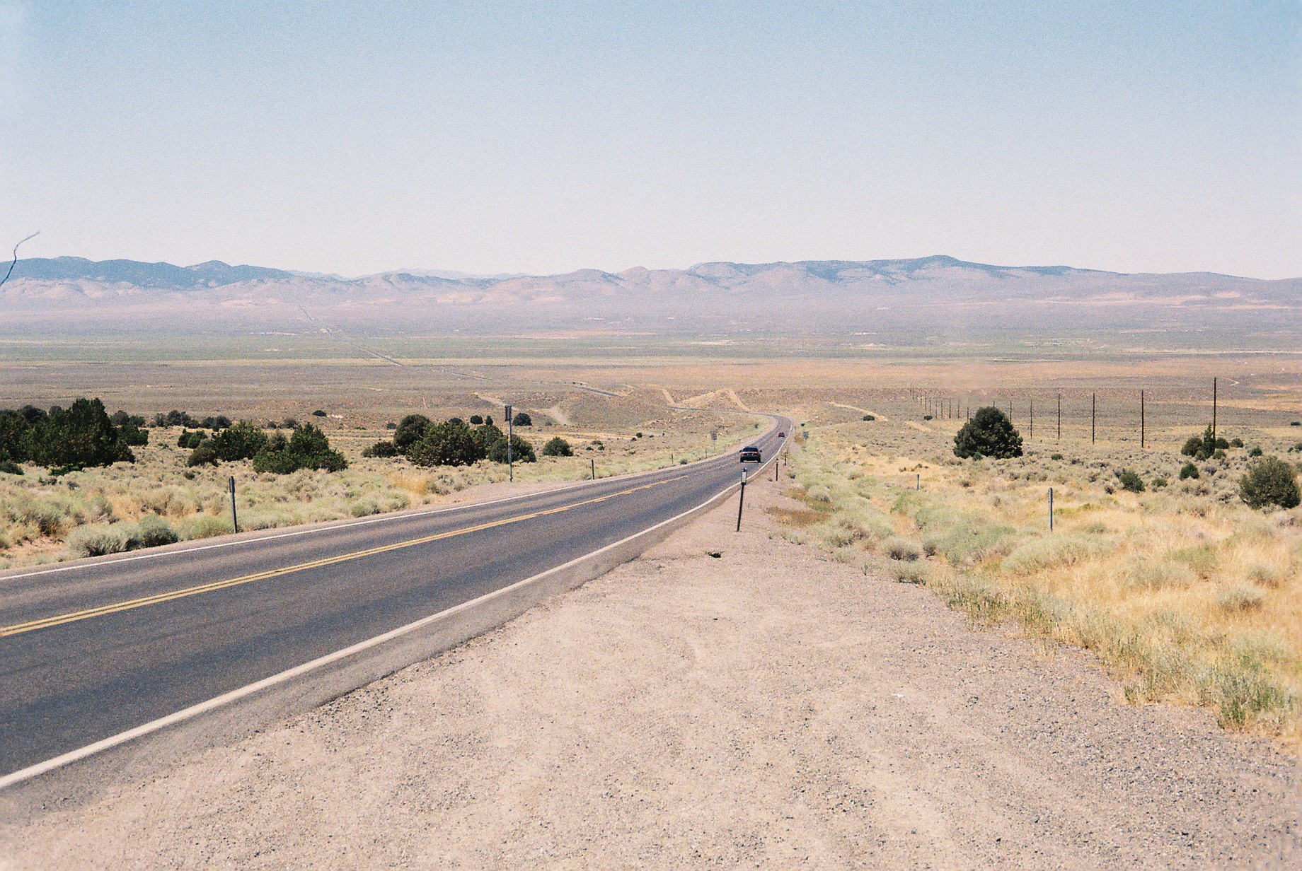
Just outside Austin Nevada heading west
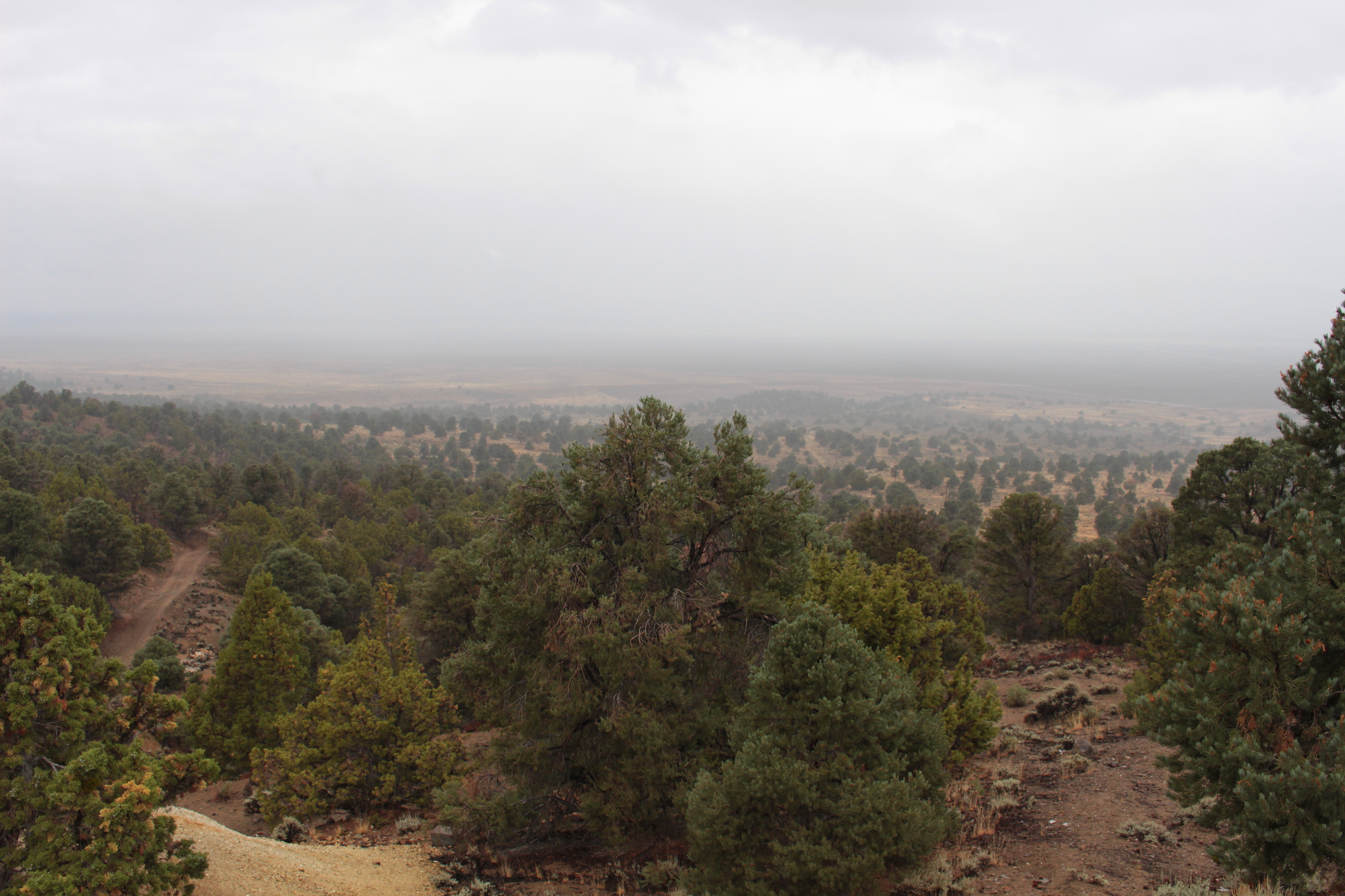
Rainy view
Topographic Map of North Toiyabe Peak, Nevada, USA
Find elevation by address:

Places near North Toiyabe Peak, Nevada, USA:
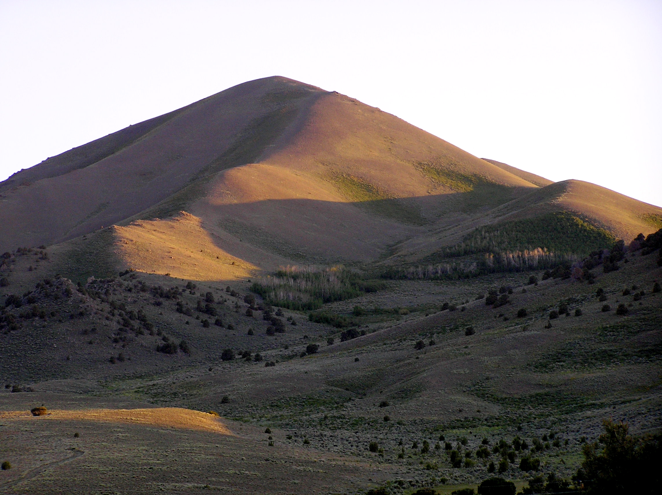
Big Creek Peak
Toiyabe Range Peak
San Juan Campground
Toquima Cave Campground (recgovnpsdata)
French Peak
White Rock Mountain
Wildcat Peak
Masket Peak
North Shoshone Peak
Mount Gooding
South Toiyabe Peak
Columbine Campground
South Shoshone Peak
Carvers
Mount Jefferson, North Summit
Toiyabe Dome
Mount Jefferson, South Summit
Nevada 376
Mahogany Mountain
Round Mountain
Recent Searches:
- Elevation of Corso Fratelli Cairoli, 35, Macerata MC, Italy
- Elevation of Tallevast Rd, Sarasota, FL, USA
- Elevation of 4th St E, Sonoma, CA, USA
- Elevation of Black Hollow Rd, Pennsdale, PA, USA
- Elevation of Oakland Ave, Williamsport, PA, USA
- Elevation of Pedrógão Grande, Portugal
- Elevation of Klee Dr, Martinsburg, WV, USA
- Elevation of Via Roma, Pieranica CR, Italy
- Elevation of Tavkvetili Mountain, Georgia
- Elevation of Hartfords Bluff Cir, Mt Pleasant, SC, USA