Elevation of French Peak, Nevada, USA
Location: United States > Nevada > Round Mountain >
Longitude: -117.26370
Latitude: 39.0127069
Elevation: 3212m / 10538feet
Barometric Pressure: 68KPa
Elevation Map:
Satellite Map:
Related Photos:
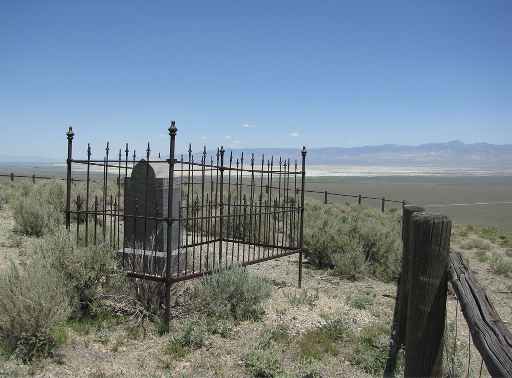
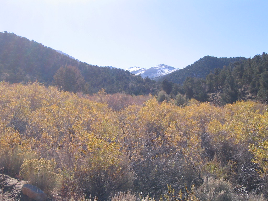
An expansive but dry view for an eternal resting spot.
Mill at Park Canyon Nevada
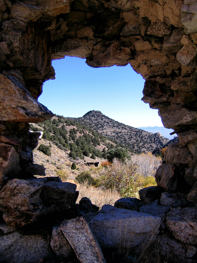
Ophir, NV
IMG_1783.jpg
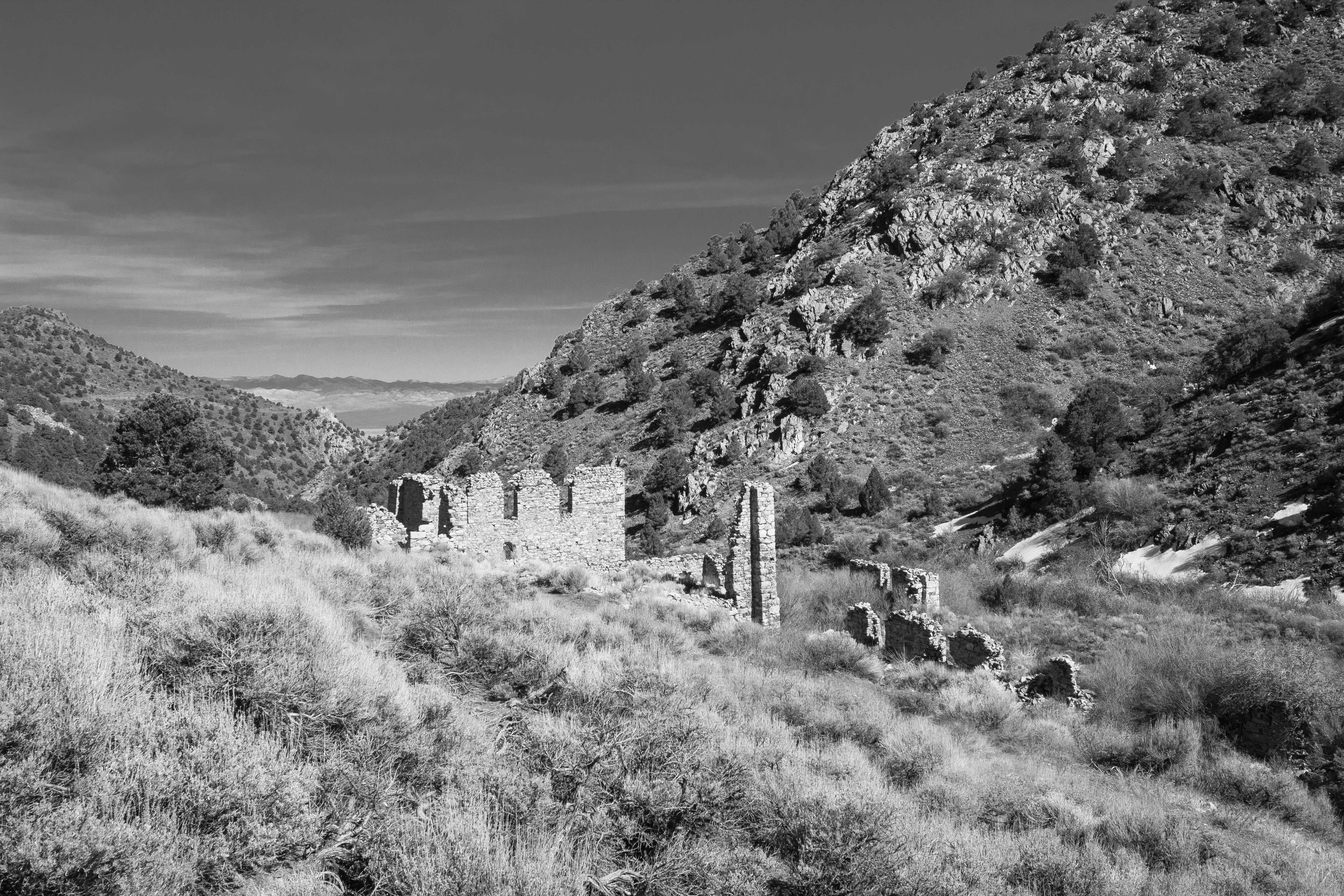
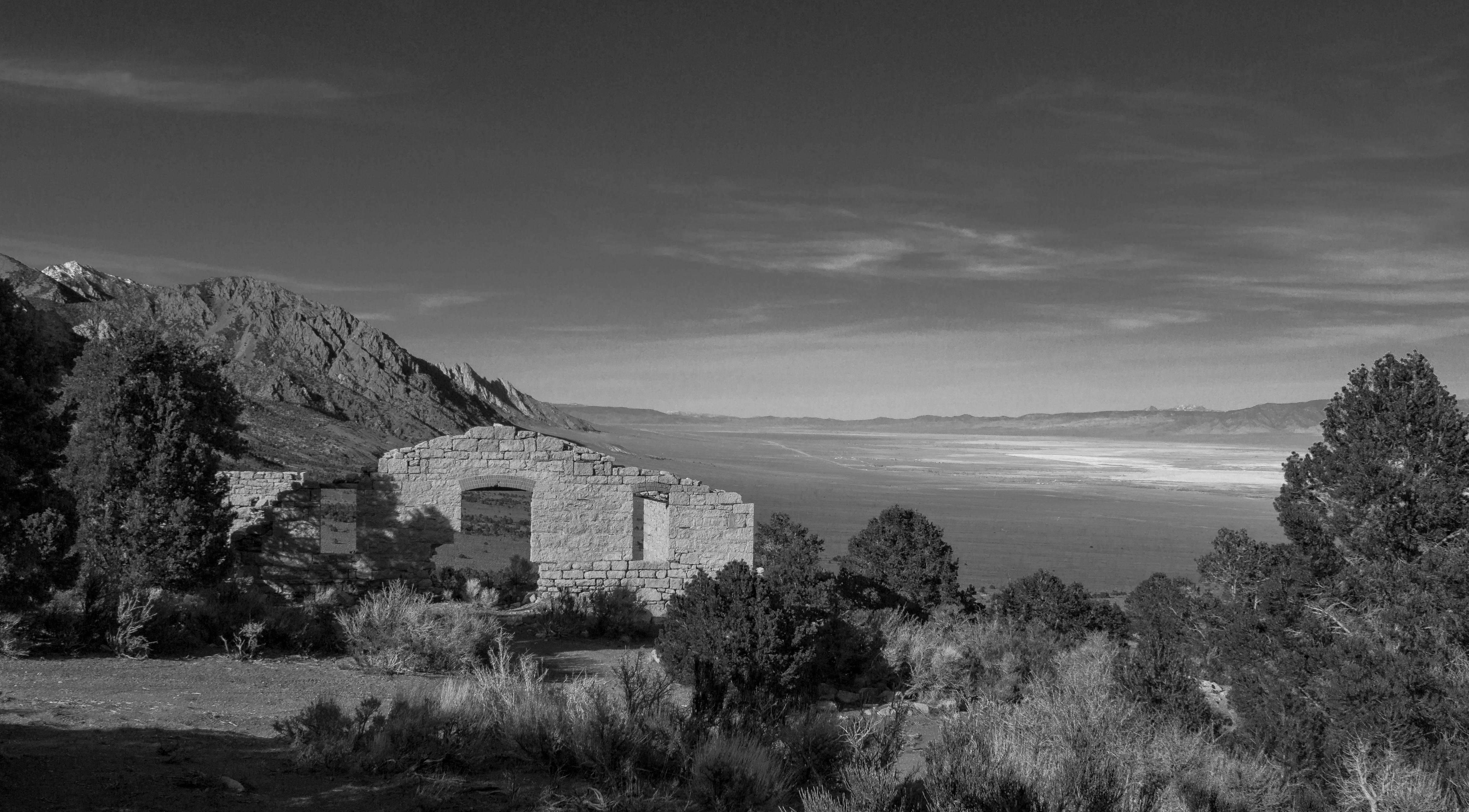
Brokedown Palace

Ophir Canyon Road

ORPHIR CANYON FIRE
Ophir, NV
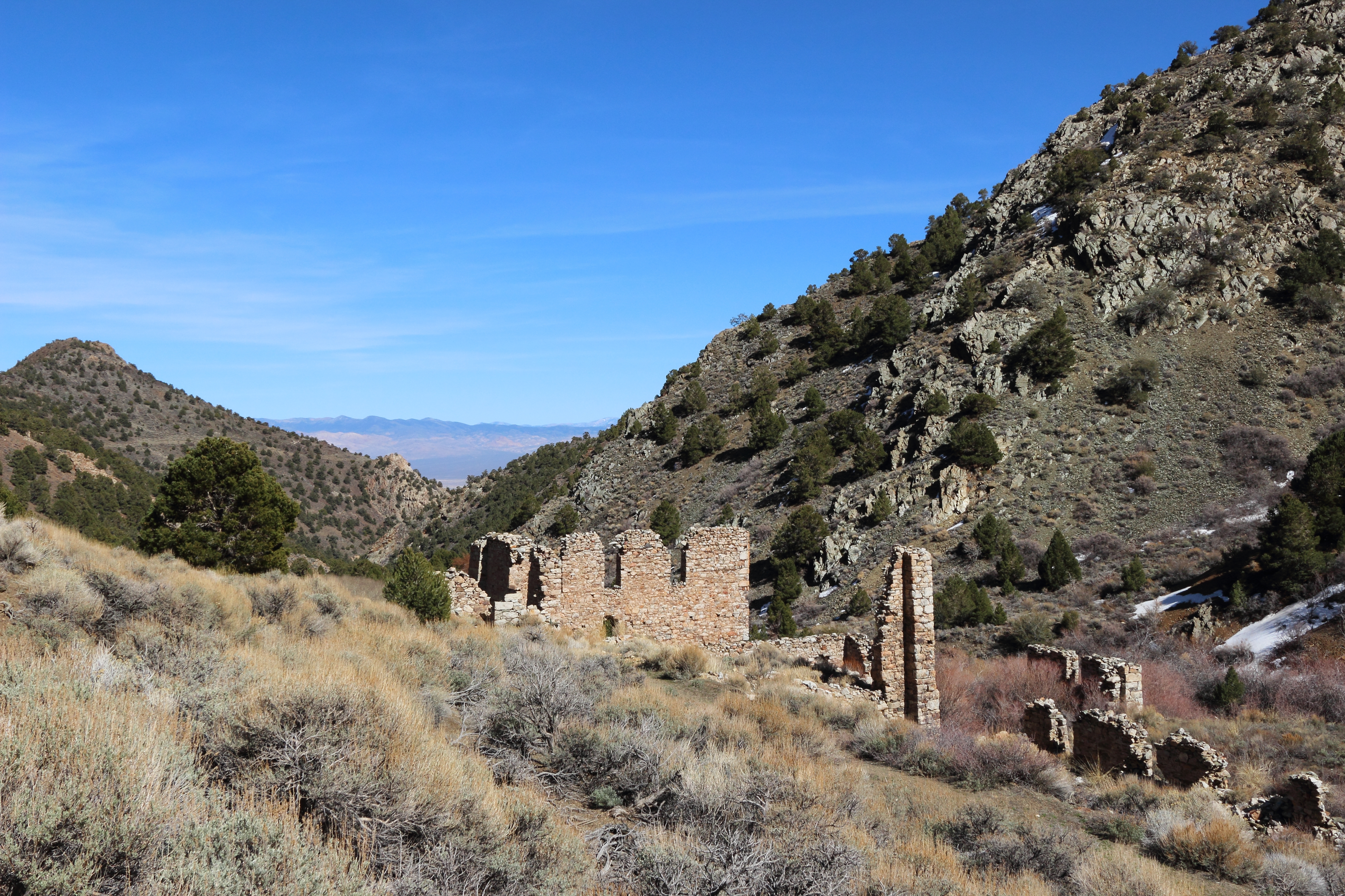
Murphy Mill in Ophir
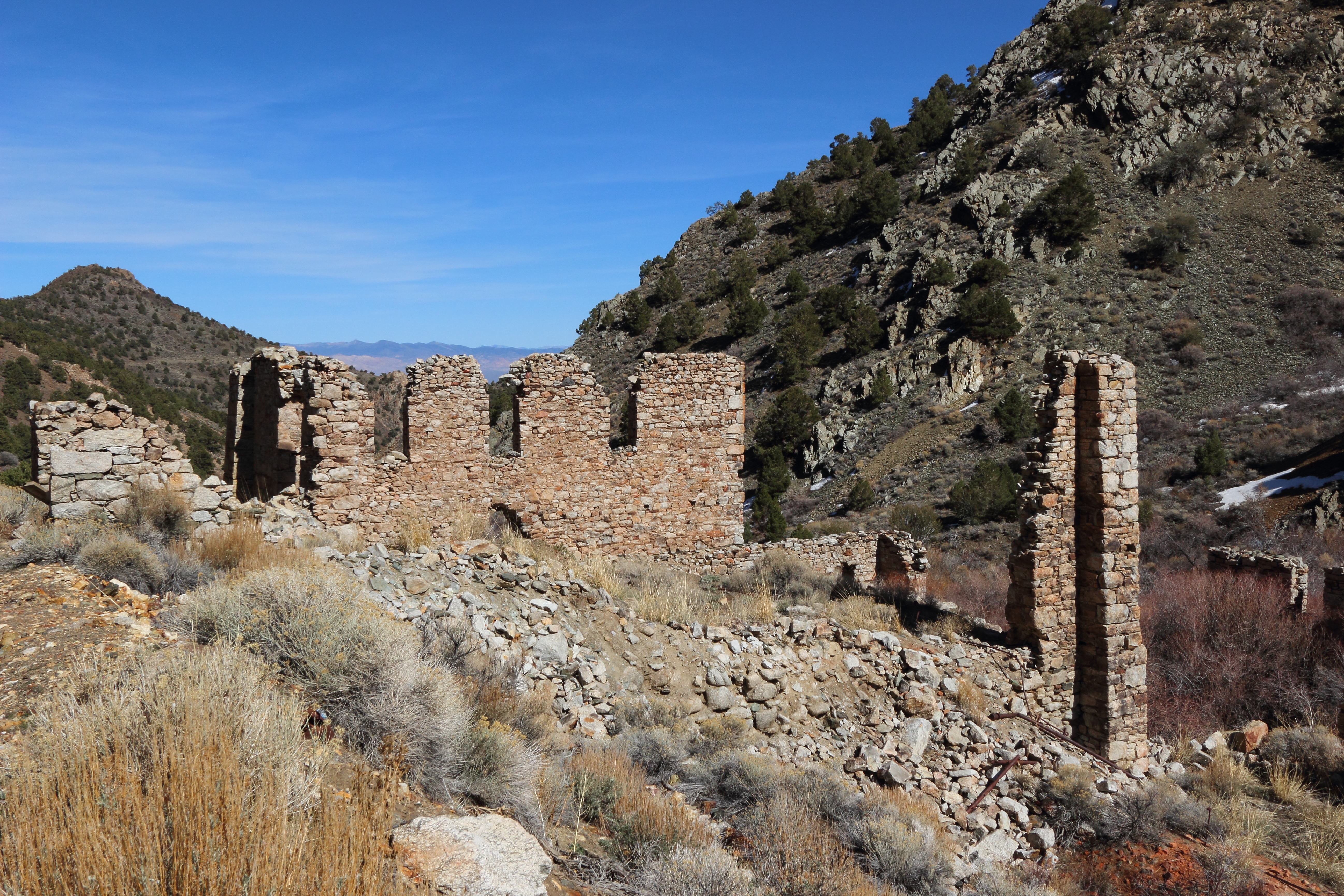
Murphy Mill in Ophir
Near Ophir, NV
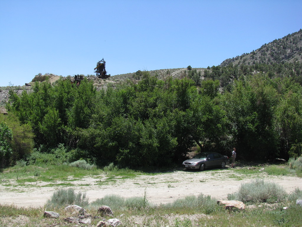
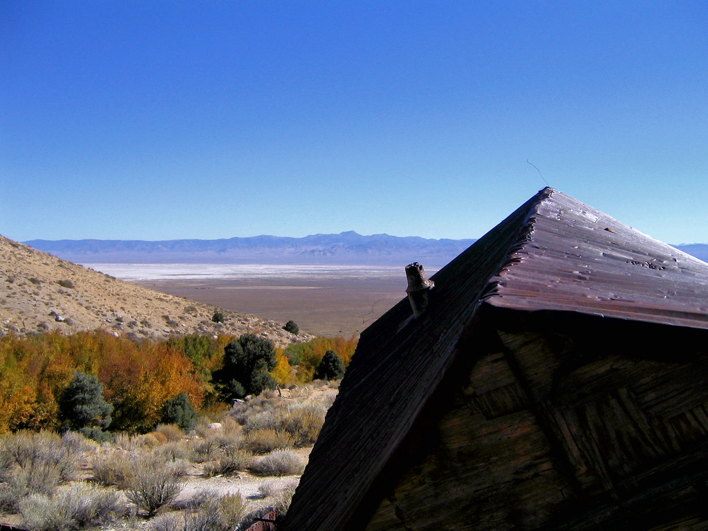
We stopped at the site of Ophir, an 1860s era silver strike, on our drive back to SoCal.
Topographic Map of French Peak, Nevada, USA
Find elevation by address:

Places near French Peak, Nevada, USA:
South Toiyabe Peak
San Juan Campground
Toiyabe Range Peak
Columbine Campground
Toiyabe Dome
Carvers
North Shoshone Peak
Mahogany Mountain
Peavine Mountain
South Shoshone Peak
Humboldt-toiyabe National Forest
Big Creek Peak
Nevada 376
Round Mountain
Grantsville Ridge
North Toiyabe Peak
Mount Jefferson, North Summit
Mount Gooding
Mount Jefferson, South Summit
Wildcat Peak
Recent Searches:
- Elevation of Corso Fratelli Cairoli, 35, Macerata MC, Italy
- Elevation of Tallevast Rd, Sarasota, FL, USA
- Elevation of 4th St E, Sonoma, CA, USA
- Elevation of Black Hollow Rd, Pennsdale, PA, USA
- Elevation of Oakland Ave, Williamsport, PA, USA
- Elevation of Pedrógão Grande, Portugal
- Elevation of Klee Dr, Martinsburg, WV, USA
- Elevation of Via Roma, Pieranica CR, Italy
- Elevation of Tavkvetili Mountain, Georgia
- Elevation of Hartfords Bluff Cir, Mt Pleasant, SC, USA