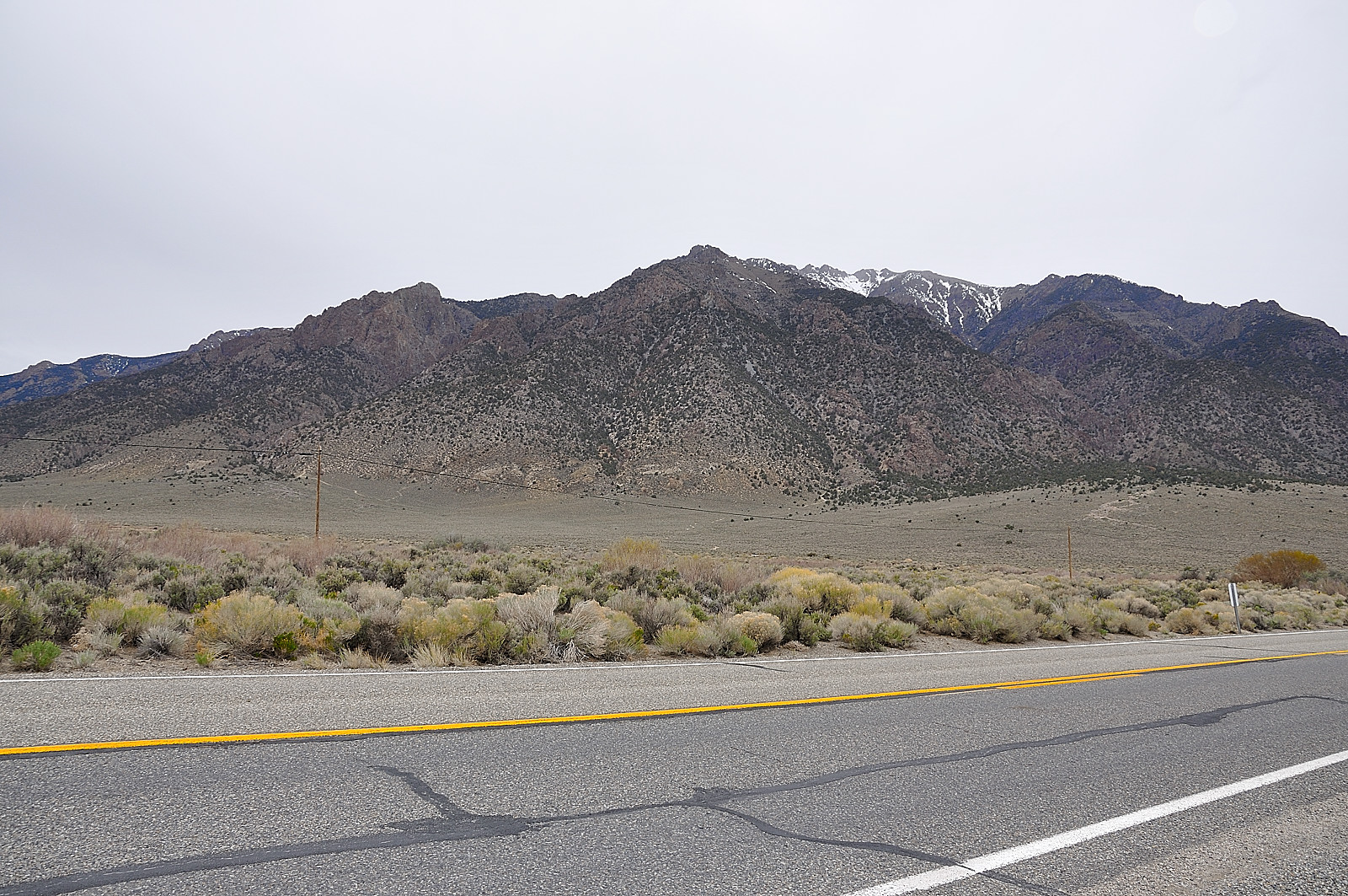
Elevation of Peavine Mountain, Nevada, USA
Location: United States > Pahrump >
Longitude: -117.3625929
Latitude: 38.7543744
Elevation: 3004m / 9856feet
Barometric Pressure: 0KPa
Related Photos:

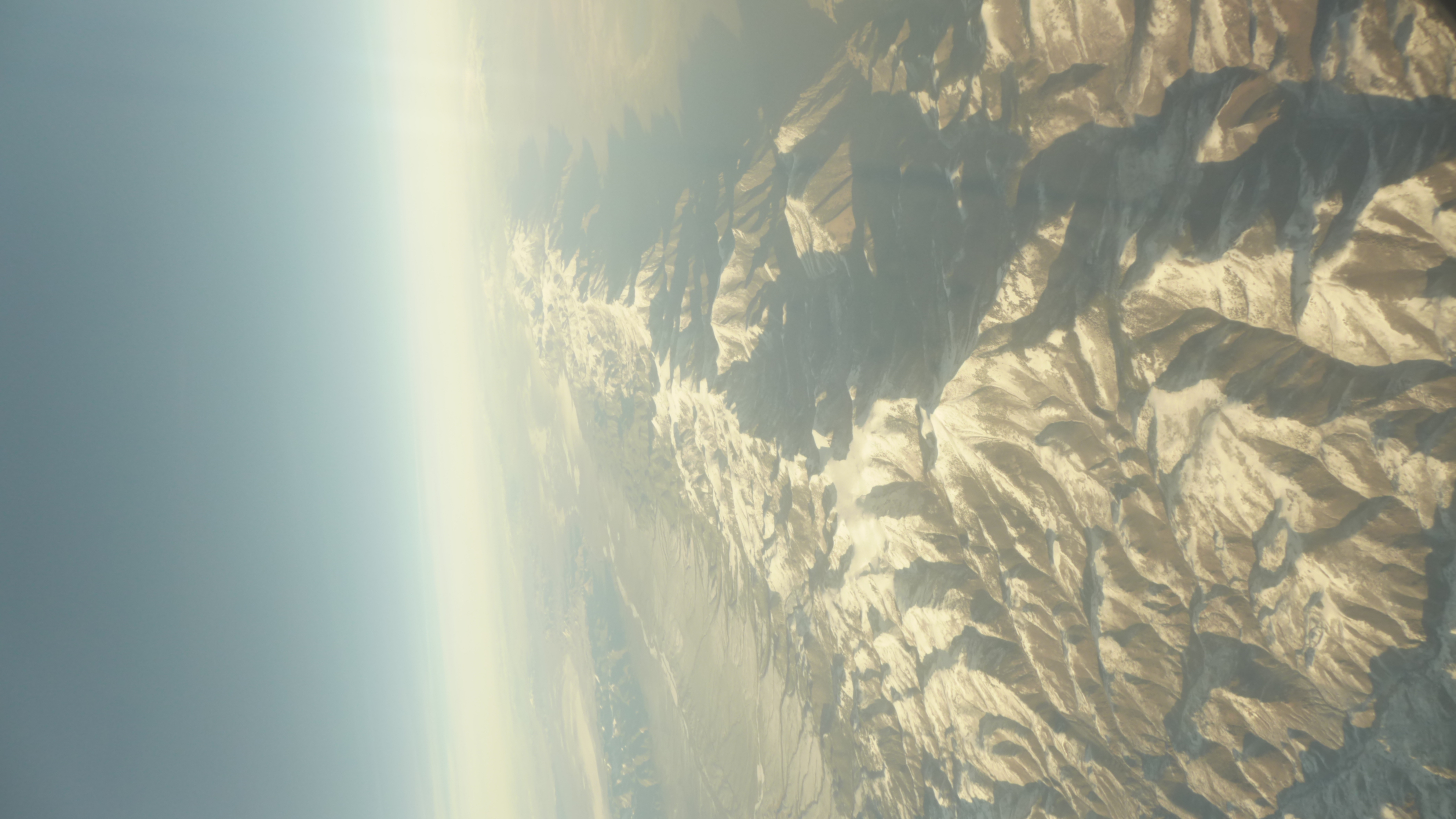
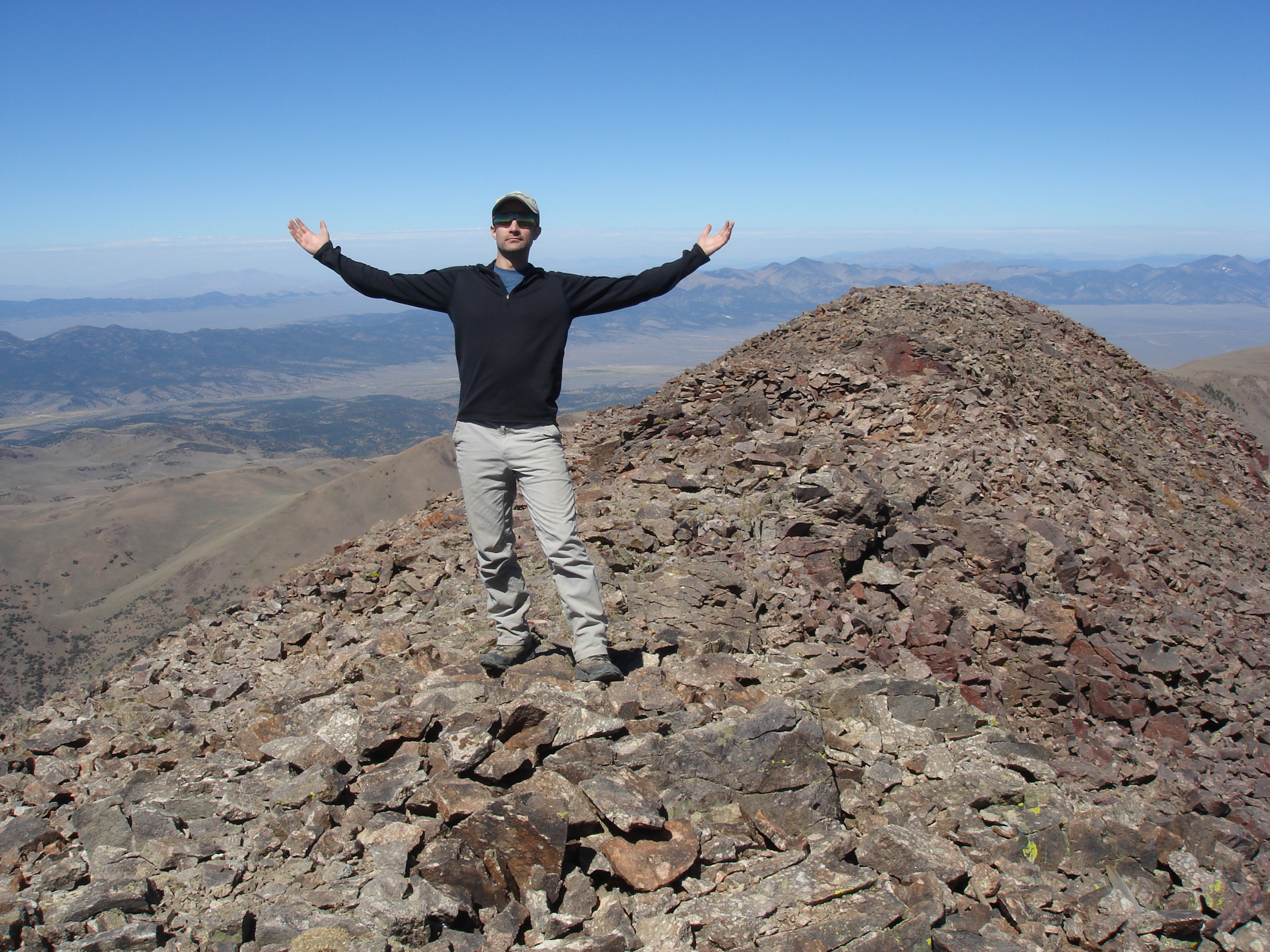
Aerial VIew of Tolyabe Dome, Nevada
Nye County
Toyiabe National Forest
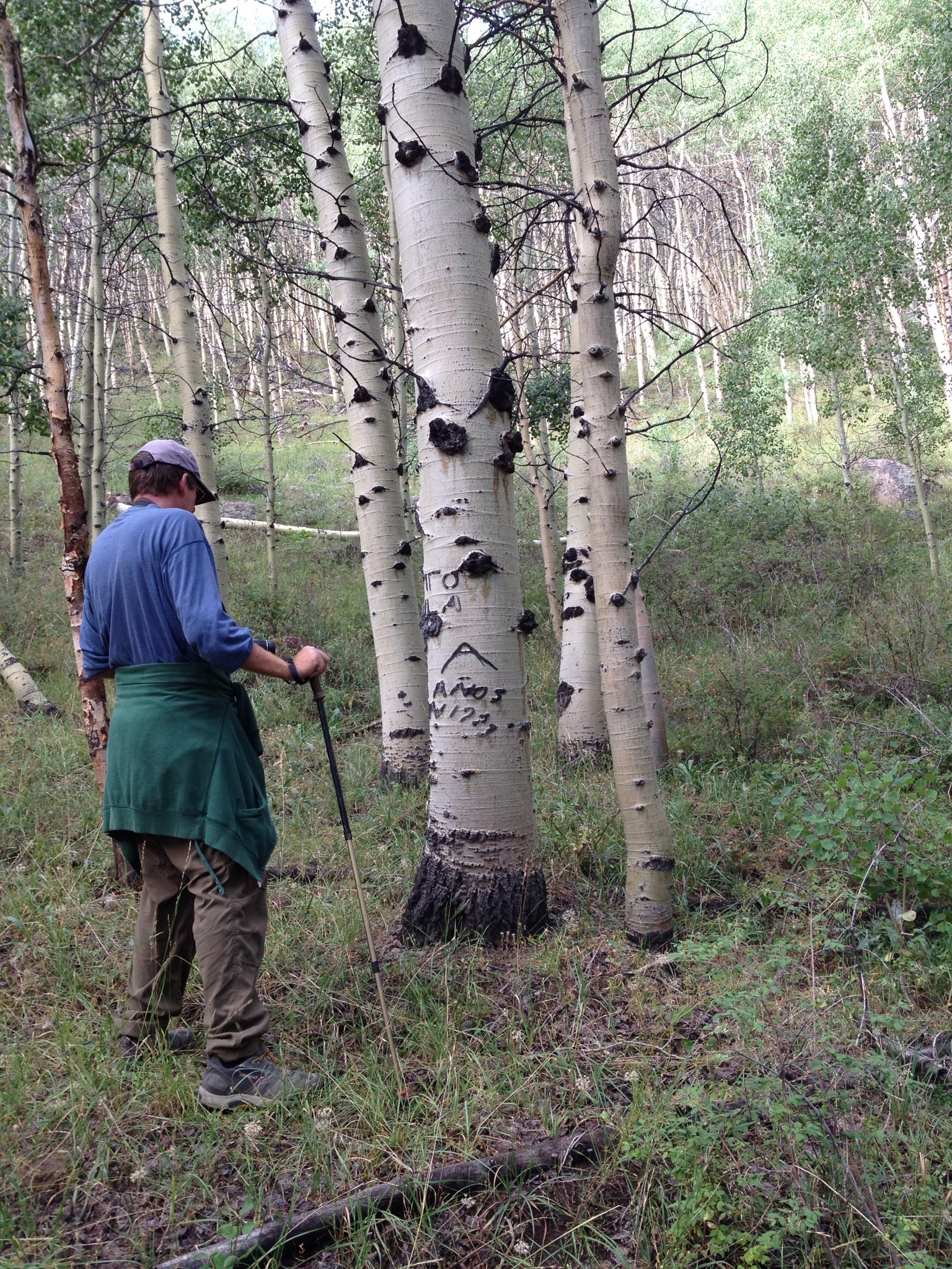
Duke on the Stewart Creek Trail
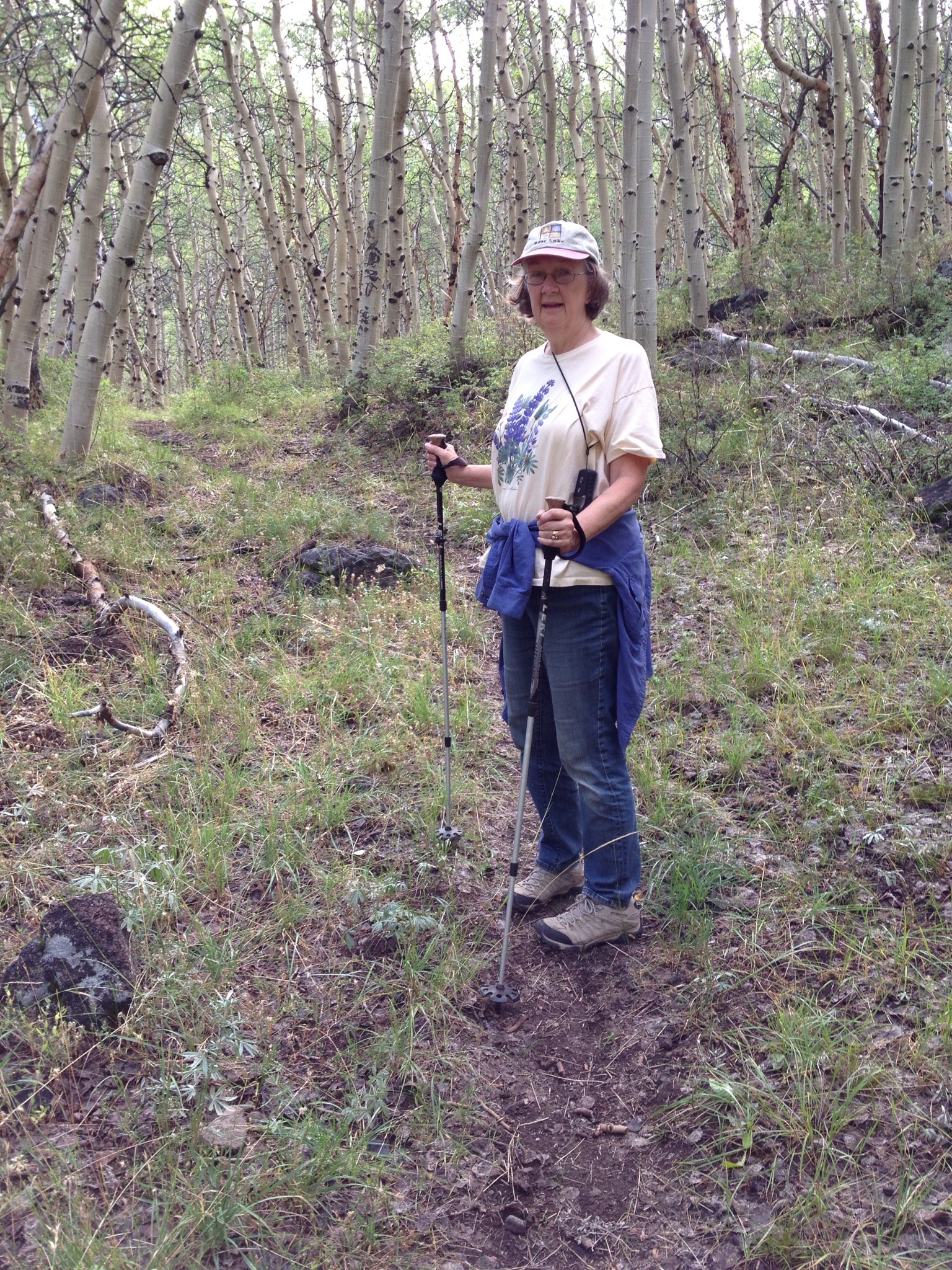
Marion on the Stewart Creek Trail

Duke on the Stewart Creek Trail

25) Arc Dome (11,773)

5. Arc Dome (11,773)
3. Arc Dome (11,773)
Topographic Map of Peavine Mountain, Nevada, USA
Find elevation by address:

Places near Peavine Mountain, Nevada, USA:
Mahogany Mountain
Humboldt-toiyabe National Forest
Toiyabe Dome
Columbine Campground
South Toiyabe Peak
Carvers
Grantsville Ridge
Nevada 376
French Peak
Round Mountain
Manhattan
South Shoshone Peak
San Juan Campground
The Bald Sister
Salisbury Peak
Spanish Peak
Toiyabe Range Peak
Shoshone Mountain
North Shoshone Peak
Mount Jefferson, South Summit
Recent Searches:
- Elevation map of Greenland, Greenland
- Elevation of Sullivan Hill, New York, New York, 10002, USA
- Elevation of Morehead Road, Withrow Downs, Charlotte, Mecklenburg County, North Carolina, 28262, USA
- Elevation of 2800, Morehead Road, Withrow Downs, Charlotte, Mecklenburg County, North Carolina, 28262, USA
- Elevation of Yangbi Yi Autonomous County, Yunnan, China
- Elevation of Pingpo, Yangbi Yi Autonomous County, Yunnan, China
- Elevation of Mount Malong, Pingpo, Yangbi Yi Autonomous County, Yunnan, China
- Elevation map of Yongping County, Yunnan, China
- Elevation of North 8th Street, Palatka, Putnam County, Florida, 32177, USA
- Elevation of 107, Big Apple Road, East Palatka, Putnam County, Florida, 32131, USA
- Elevation of Jiezi, Chongzhou City, Sichuan, China
- Elevation of Chongzhou City, Sichuan, China
- Elevation of Huaiyuan, Chongzhou City, Sichuan, China
- Elevation of Qingxia, Chengdu, Sichuan, China
- Elevation of Corso Fratelli Cairoli, 35, Macerata MC, Italy
- Elevation of Tallevast Rd, Sarasota, FL, USA
- Elevation of 4th St E, Sonoma, CA, USA
- Elevation of Black Hollow Rd, Pennsdale, PA, USA
- Elevation of Oakland Ave, Williamsport, PA, USA
- Elevation of Pedrógão Grande, Portugal