Elevation of The Bald Sister, Nevada, USA
Location: United States > Nevada > Nye County > Manhattan >
Longitude: -117.02785
Latitude: 38.5782666
Elevation: 2758m / 9049feet
Barometric Pressure: 72KPa
Elevation Map:
Satellite Map:
Related Photos:
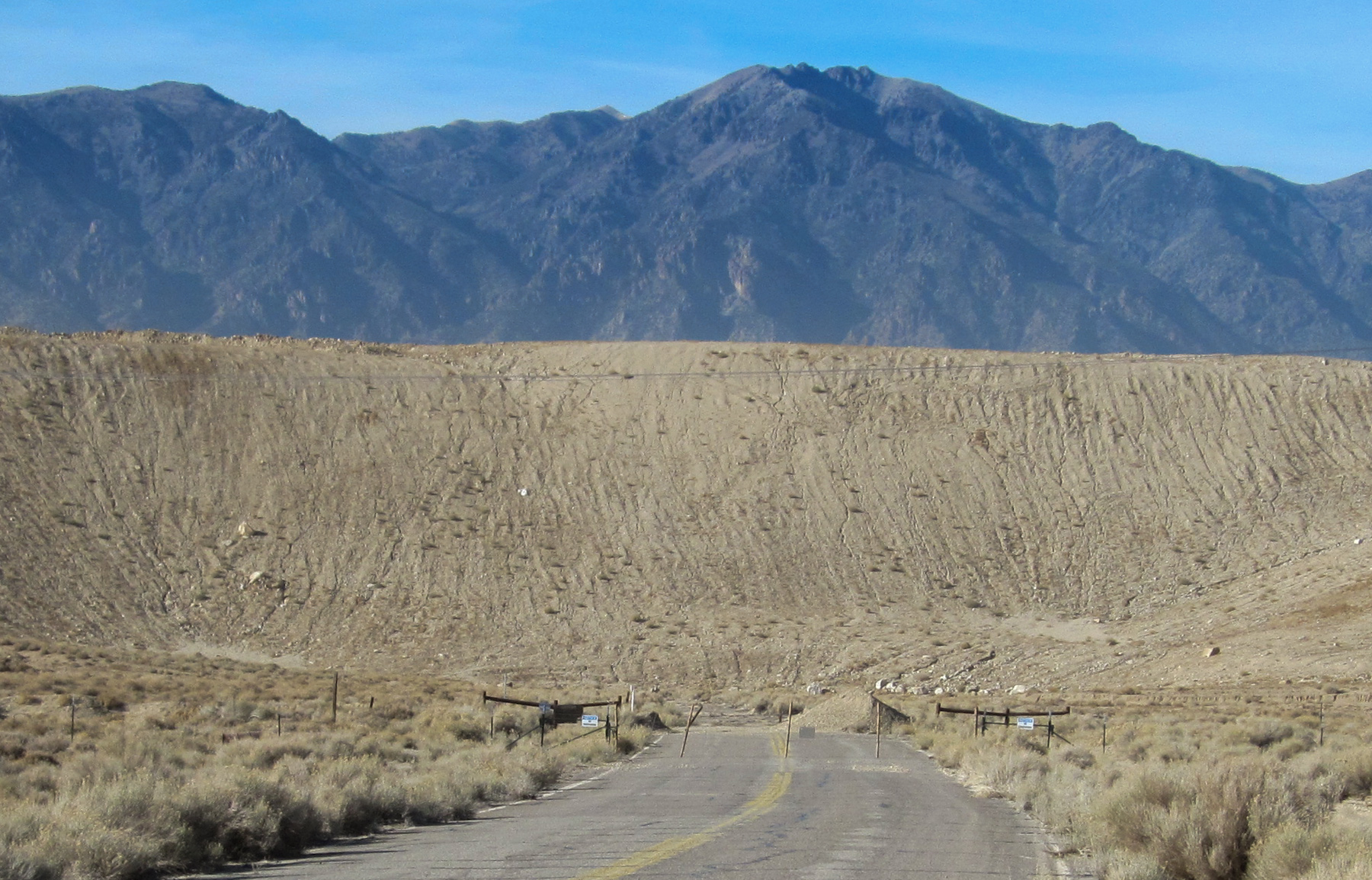
Round Mountain NV (1991)
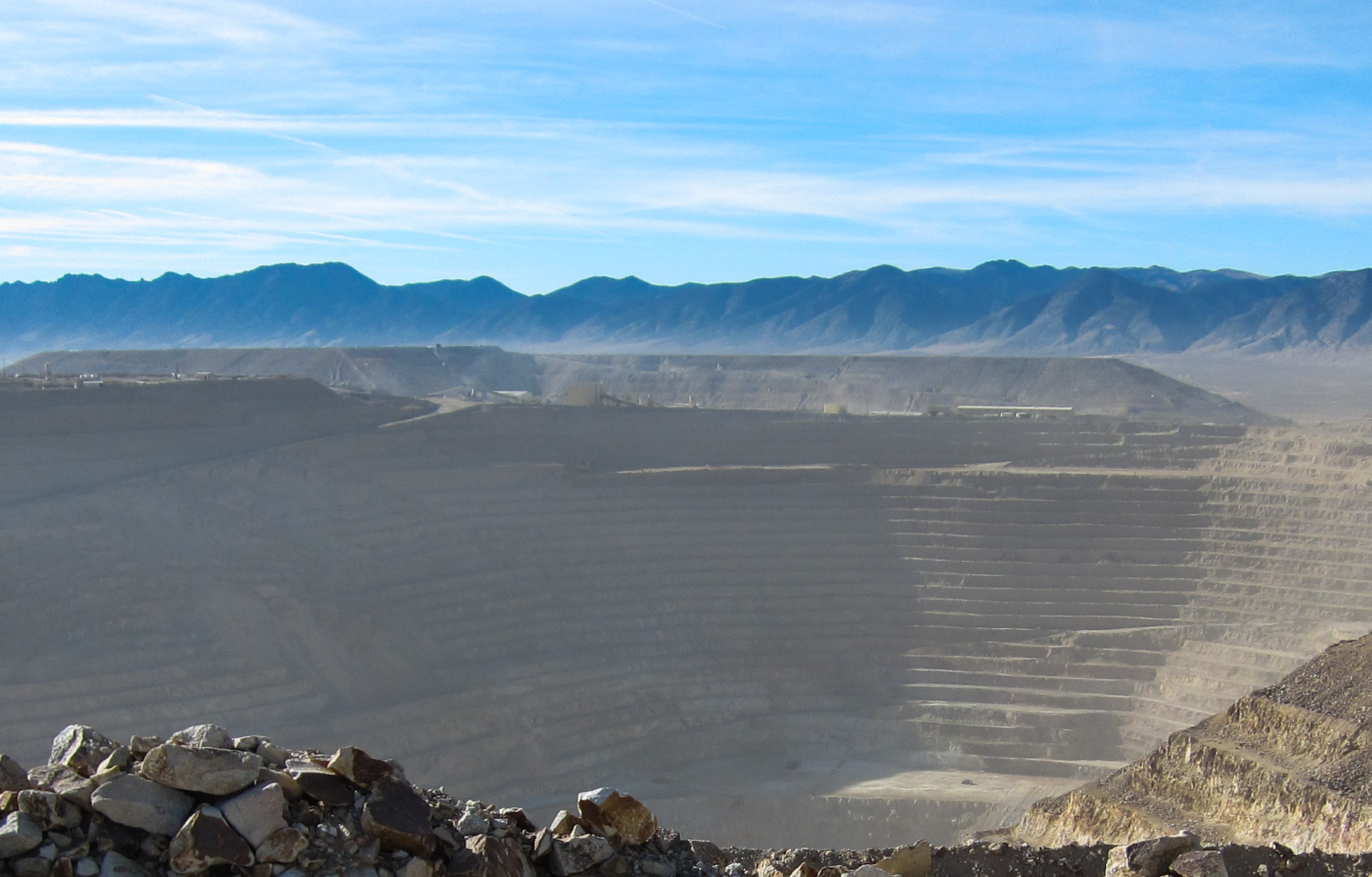
Round Mountain Mine NV (1988)
Topographic Map of The Bald Sister, Nevada, USA
Find elevation by address:

Places near The Bald Sister, Nevada, USA:
Salisbury Peak
Manhattan
Spanish Peak
Shoshone Mountain
Round Mountain
Nevada 376
Hat Peak
Little Table Mountain
Mount Jefferson, South Summit
Big Ten Peak
Mount Jefferson, North Summit
Carvers
Toiyabe Dome
Mahogany Mountain
Rocky Peak
Peavine Mountain
Mount Gooding
South Toiyabe Peak
Red Peak
Humboldt-toiyabe National Forest
Recent Searches:
- Elevation of Corso Fratelli Cairoli, 35, Macerata MC, Italy
- Elevation of Tallevast Rd, Sarasota, FL, USA
- Elevation of 4th St E, Sonoma, CA, USA
- Elevation of Black Hollow Rd, Pennsdale, PA, USA
- Elevation of Oakland Ave, Williamsport, PA, USA
- Elevation of Pedrógão Grande, Portugal
- Elevation of Klee Dr, Martinsburg, WV, USA
- Elevation of Via Roma, Pieranica CR, Italy
- Elevation of Tavkvetili Mountain, Georgia
- Elevation of Hartfords Bluff Cir, Mt Pleasant, SC, USA