Elevation map of Rocky Peak, Nevada, USA
Location: United States > Pahrump >
Longitude: -116.78034
Latitude: 38.3088235
Elevation: 2532m / 8307feet
Barometric Pressure: 74KPa
Elevation Map:
Satellite Map:
Related Photos:
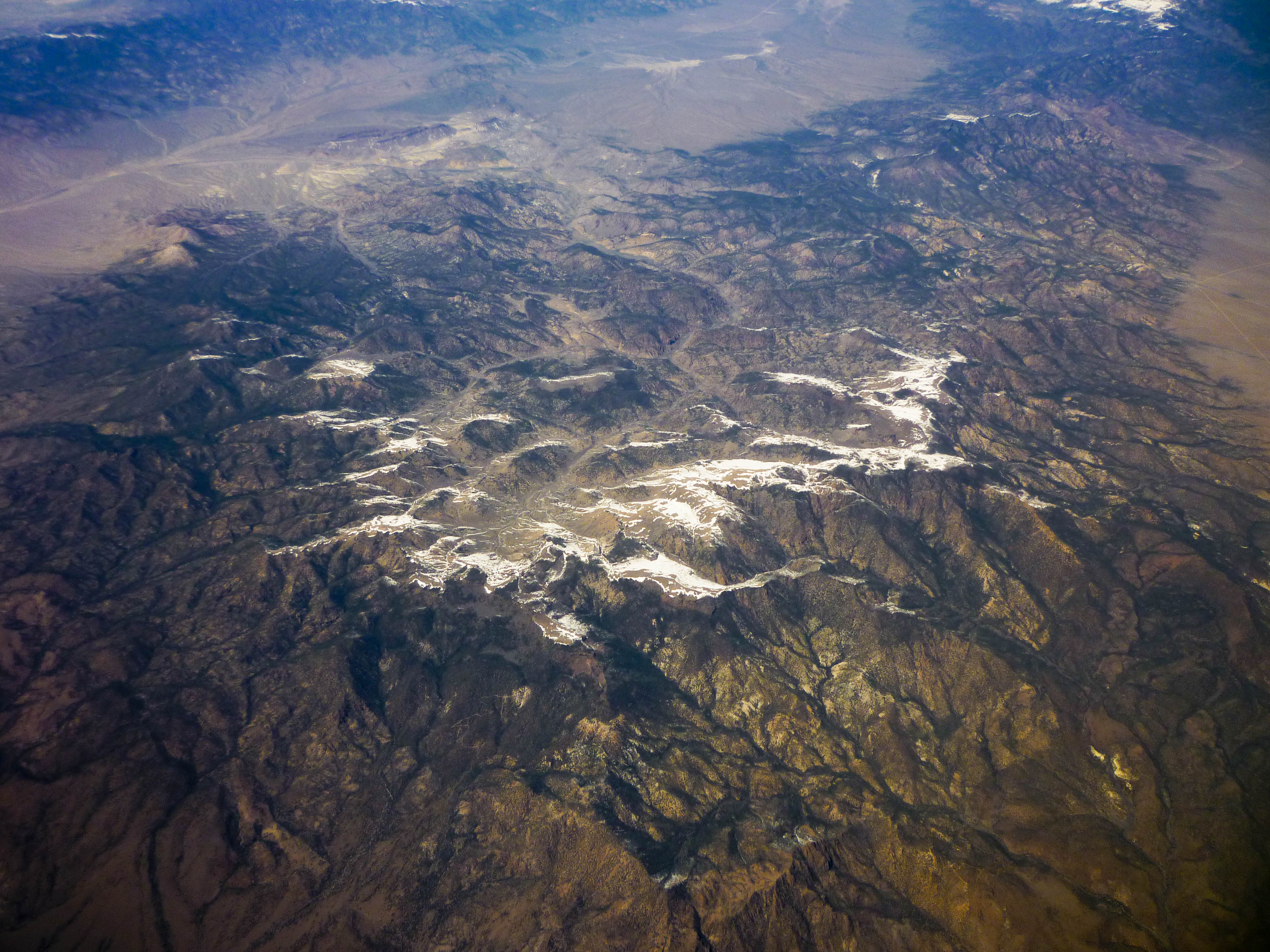
Nevada mountain
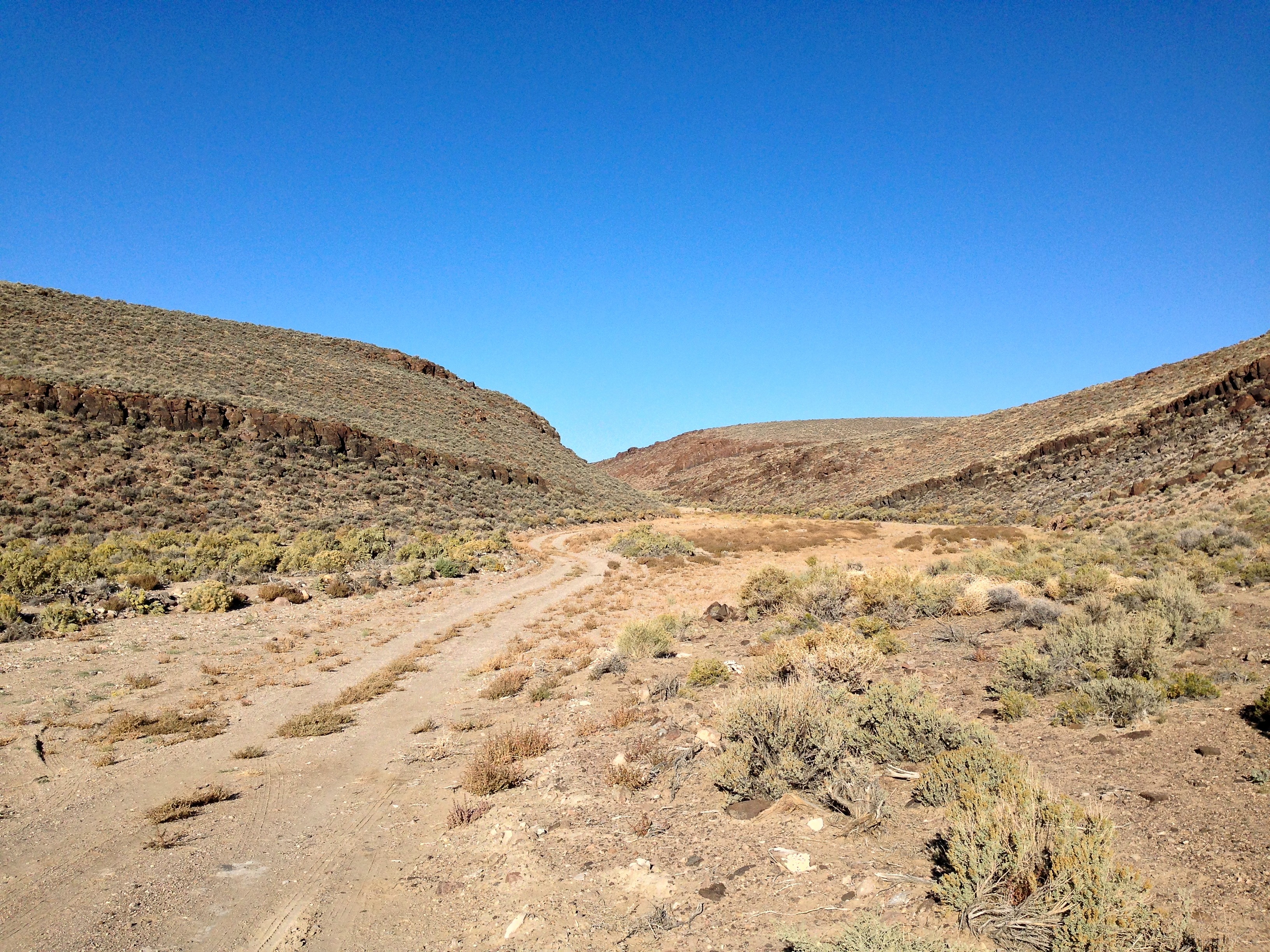
Heading up the canyon for E.T. caches 2001-2400
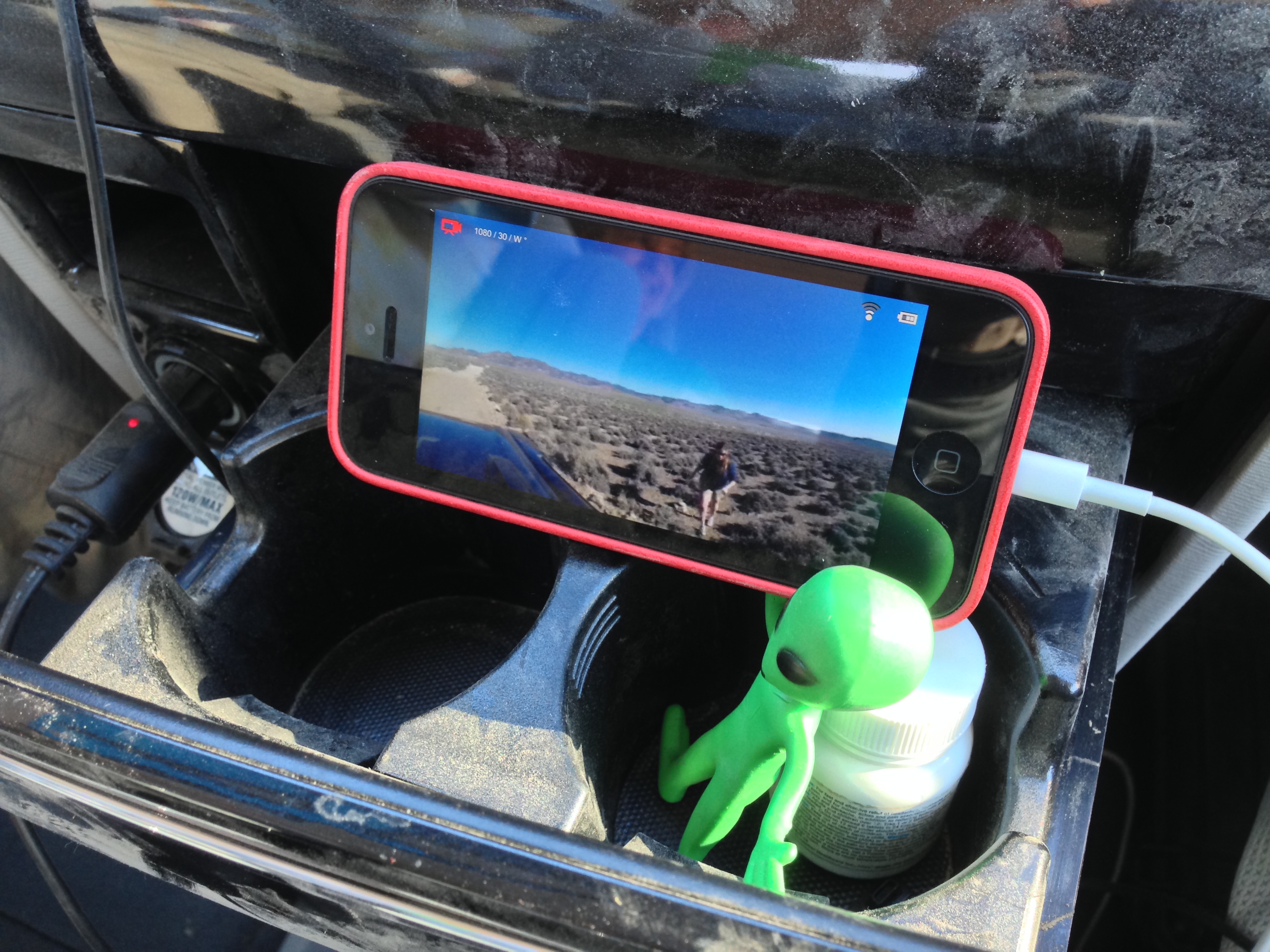
GoPro recording on the E.T. Highway
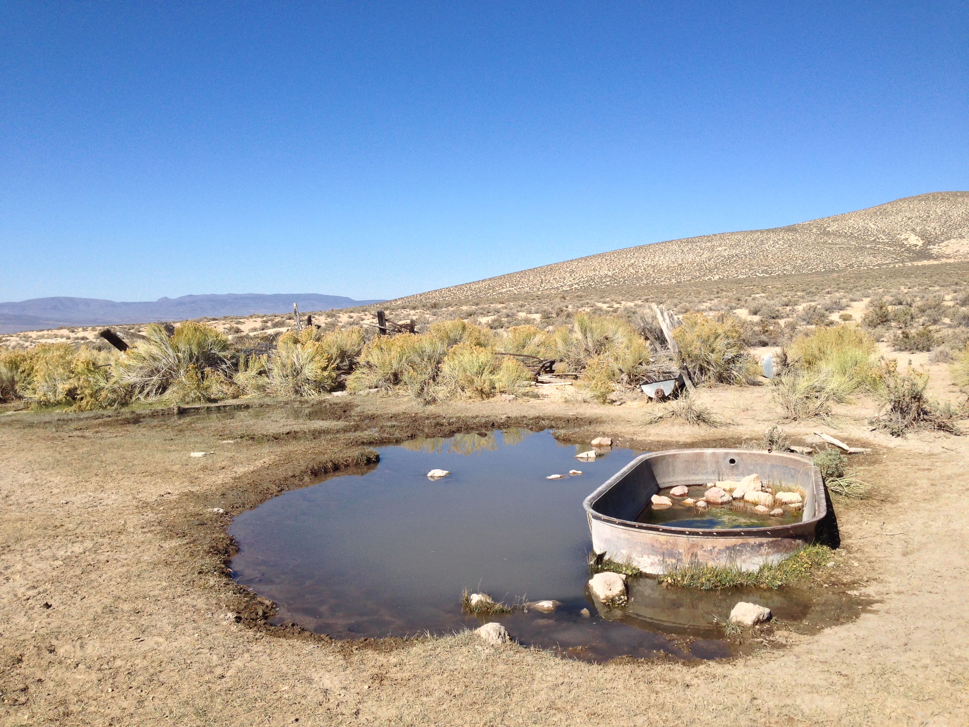
Watering hole
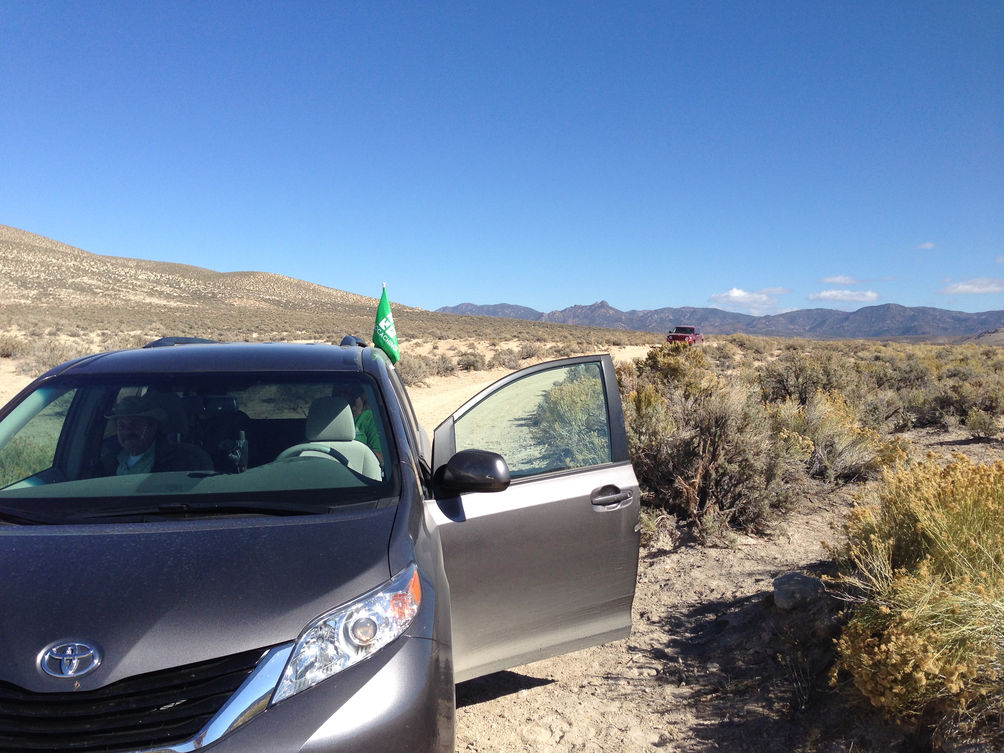
Pit stop
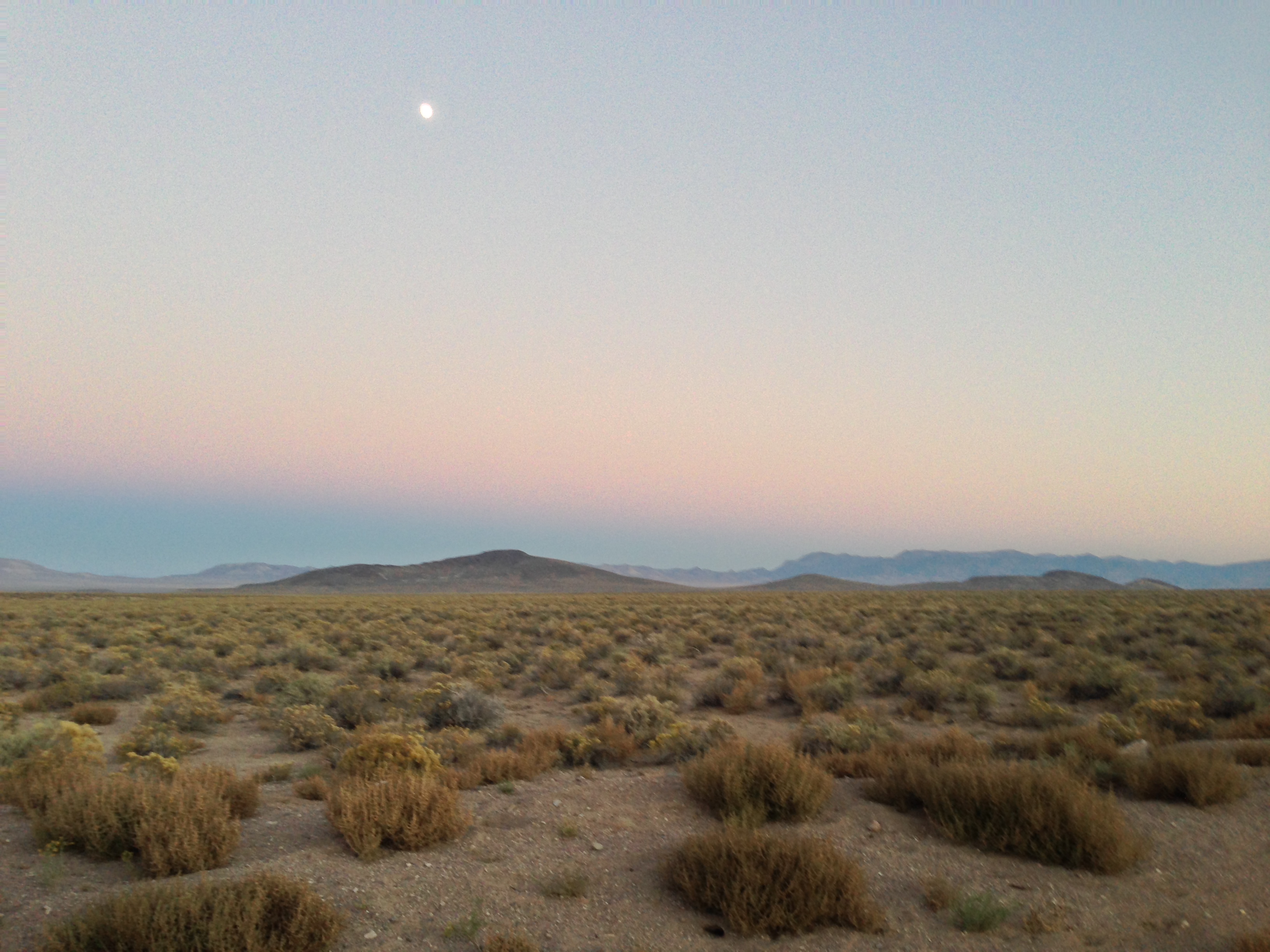
Dusk in the desert
There's a few more down this road
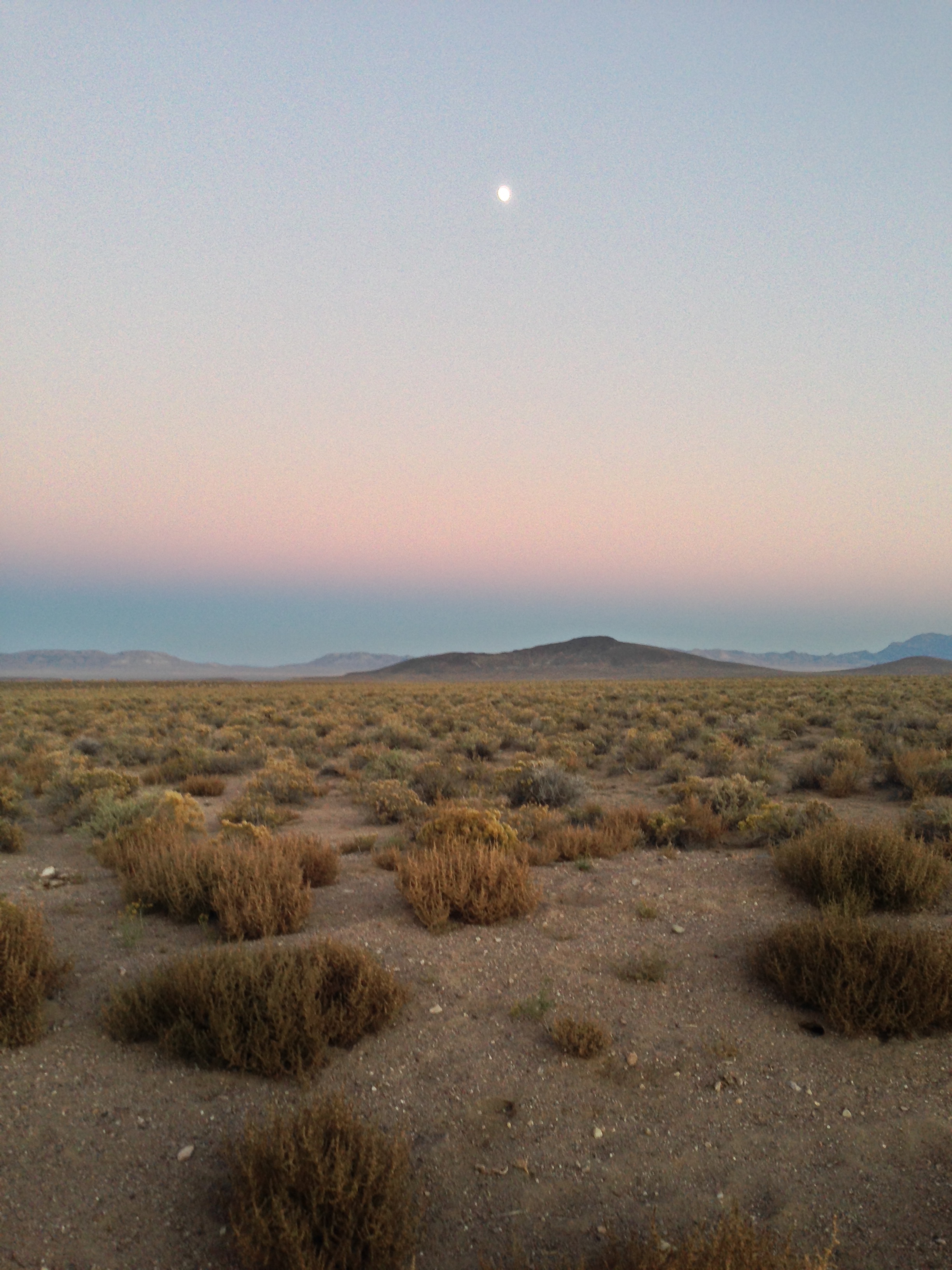
Nice Evening on the ET Highway
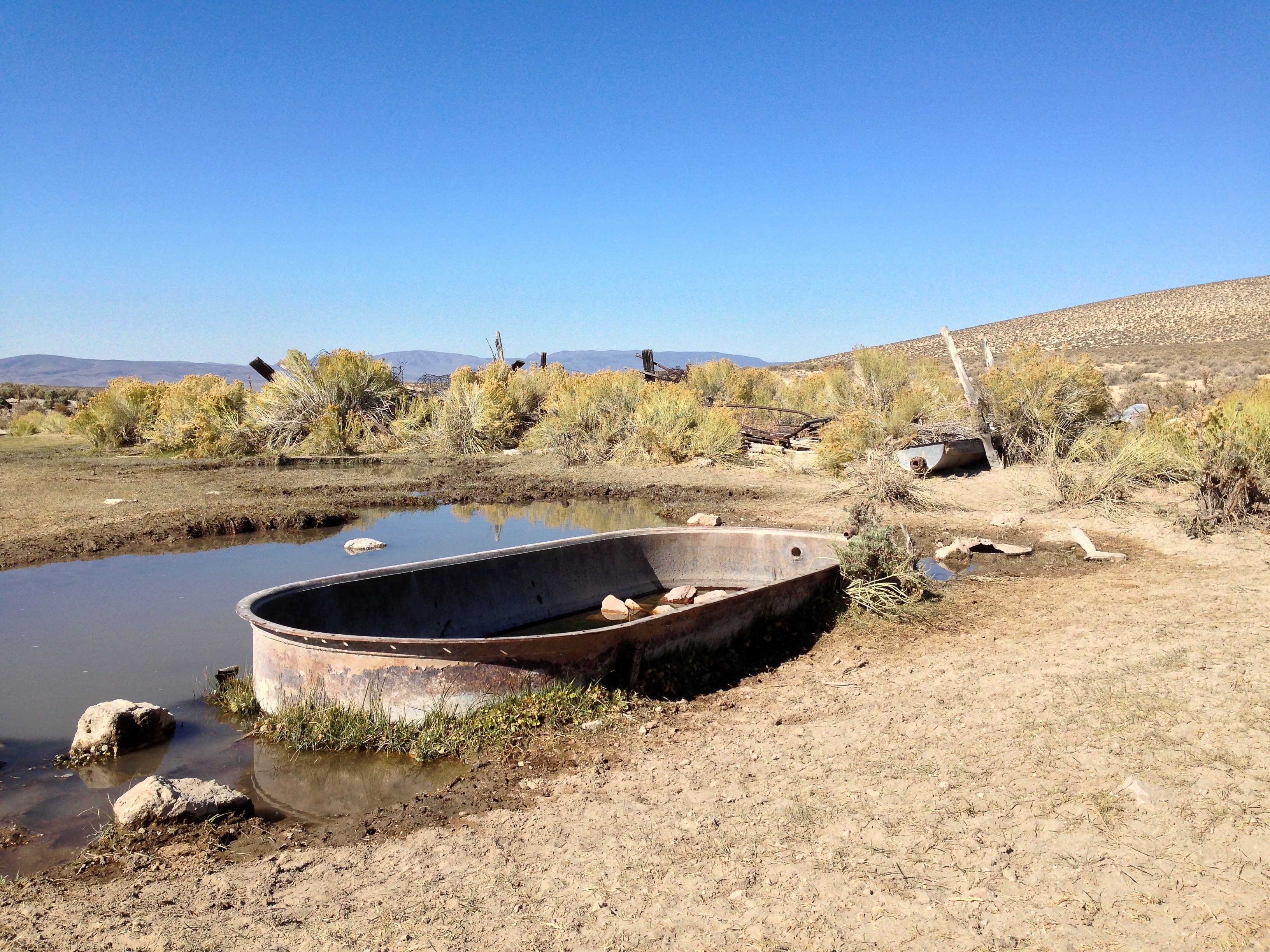
Cattle watering area along the E.T. Trail

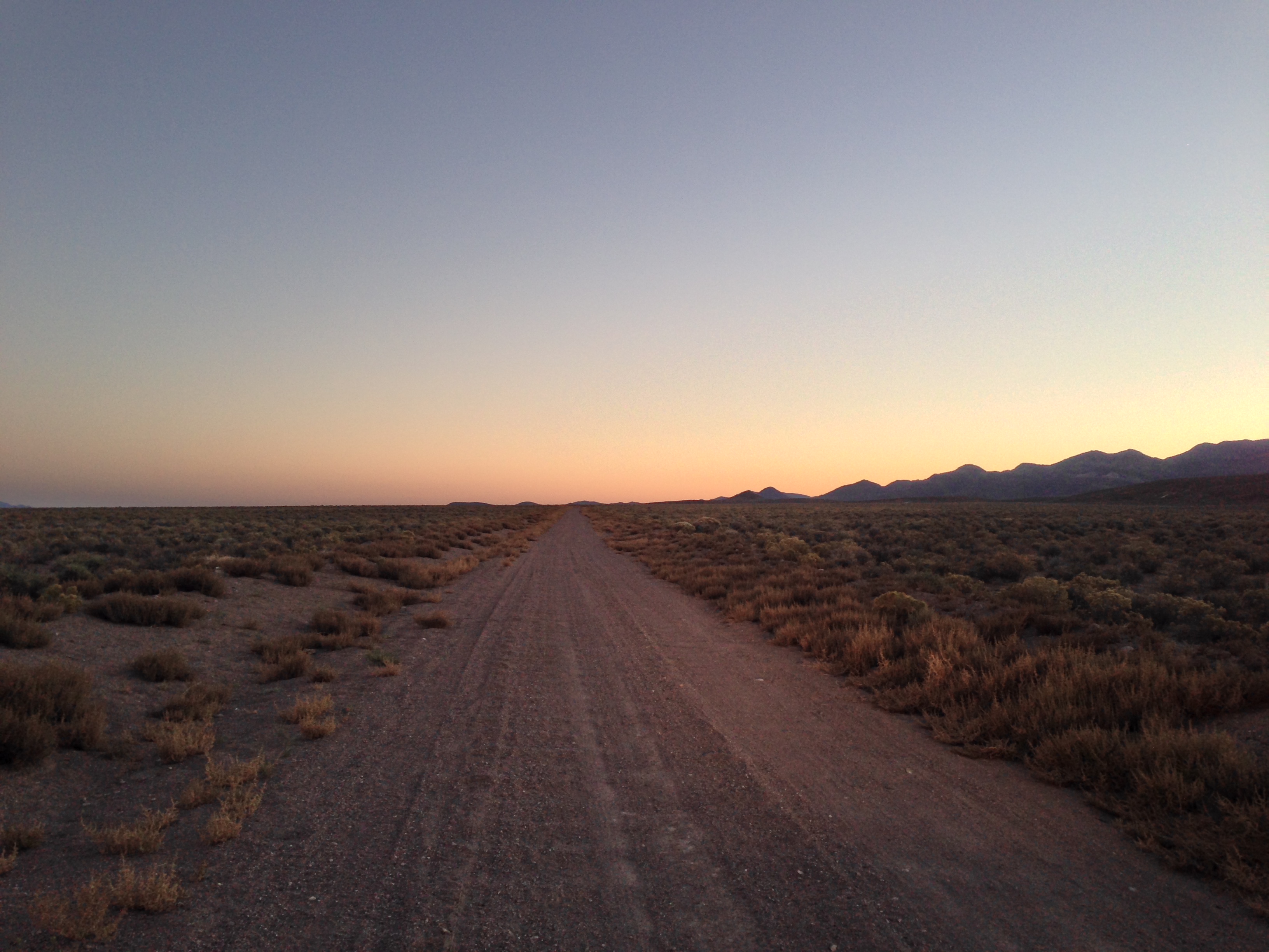
Eastward bound!
Topographic Map of Rocky Peak, Nevada, USA
Find elevation by address:

Places near Rocky Peak, Nevada, USA:
Big Ten Peak
Hat Peak
Red Peak
Salisbury Peak
The Bald Sister
Manhattan
Spanish Peak
Shoshone Mountain
Little Table Mountain
Mount Jefferson, South Summit
Round Mountain
Mount Jefferson, North Summit
Tonopah
Nevada 376
Carvers
Mount Gooding
Toiyabe Dome
Mahogany Mountain
Wildcat Peak
Masket Peak
Recent Searches:
- Elevation of Corso Fratelli Cairoli, 35, Macerata MC, Italy
- Elevation of Tallevast Rd, Sarasota, FL, USA
- Elevation of 4th St E, Sonoma, CA, USA
- Elevation of Black Hollow Rd, Pennsdale, PA, USA
- Elevation of Oakland Ave, Williamsport, PA, USA
- Elevation of Pedrógão Grande, Portugal
- Elevation of Klee Dr, Martinsburg, WV, USA
- Elevation of Via Roma, Pieranica CR, Italy
- Elevation of Tavkvetili Mountain, Georgia
- Elevation of Hartfords Bluff Cir, Mt Pleasant, SC, USA