Elevation map of White Rock Mountain, Nevada, USA
Location: United States > Nevada > Round Mountain >
Longitude: -116.79424
Latitude: 39.0674295
Elevation: 3072m / 10079feet
Barometric Pressure: 69KPa
Elevation Map:
Satellite Map:
Related Photos:
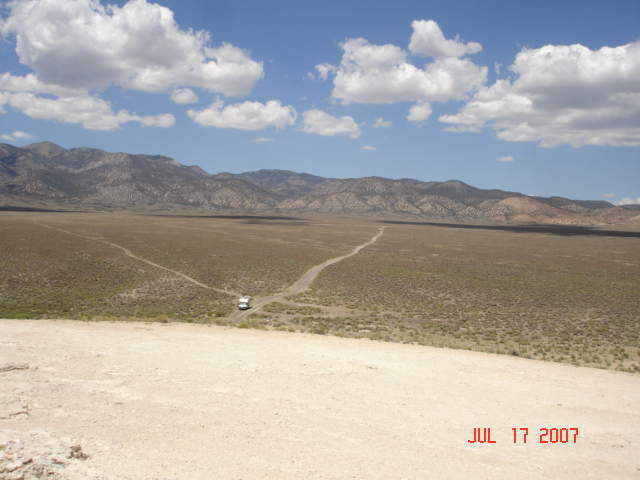
View from Diana's Punchbowl
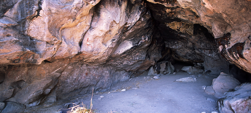
Toquima Cave (Film)
Topographic Map of White Rock Mountain, Nevada, USA
Find elevation by address:

Places near White Rock Mountain, Nevada, USA:
Masket Peak
Wildcat Peak
Toquima Cave Campground (recgovnpsdata)
Mount Gooding
Mount Jefferson, North Summit
Mount Jefferson, South Summit
Little Table Mountain
North Toiyabe Peak
Toiyabe Range Peak
Big Creek Peak
Shoshone Mountain
Round Mountain
Spanish Peak
Nevada 376
Carvers
French Peak
San Juan Campground
Toiyabe Dome
South Toiyabe Peak
The Bald Sister
Recent Searches:
- Elevation of Corso Fratelli Cairoli, 35, Macerata MC, Italy
- Elevation of Tallevast Rd, Sarasota, FL, USA
- Elevation of 4th St E, Sonoma, CA, USA
- Elevation of Black Hollow Rd, Pennsdale, PA, USA
- Elevation of Oakland Ave, Williamsport, PA, USA
- Elevation of Pedrógão Grande, Portugal
- Elevation of Klee Dr, Martinsburg, WV, USA
- Elevation of Via Roma, Pieranica CR, Italy
- Elevation of Tavkvetili Mountain, Georgia
- Elevation of Hartfords Bluff Cir, Mt Pleasant, SC, USA