Elevation of Muller Mountain, Nevada, USA
Location: United States > Nevada > Mineral County >
Longitude: -118.02845
Latitude: 38.530757
Elevation: 2500m / 8202feet
Barometric Pressure: 75KPa
Elevation Map:
Satellite Map:
Related Photos:
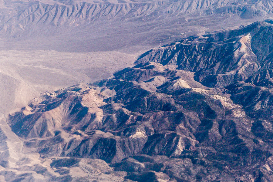
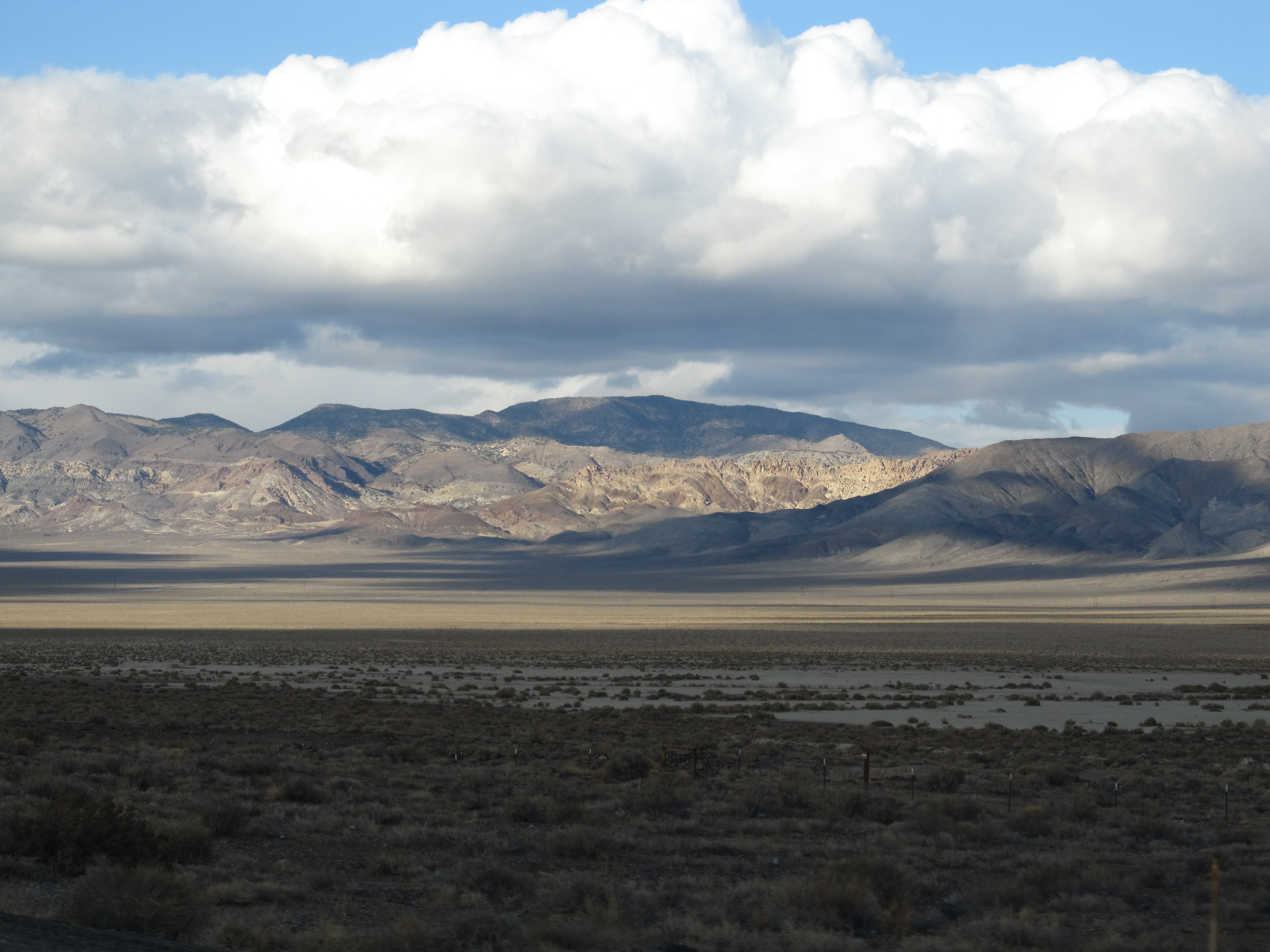
Aerial View of Eastern Sierra
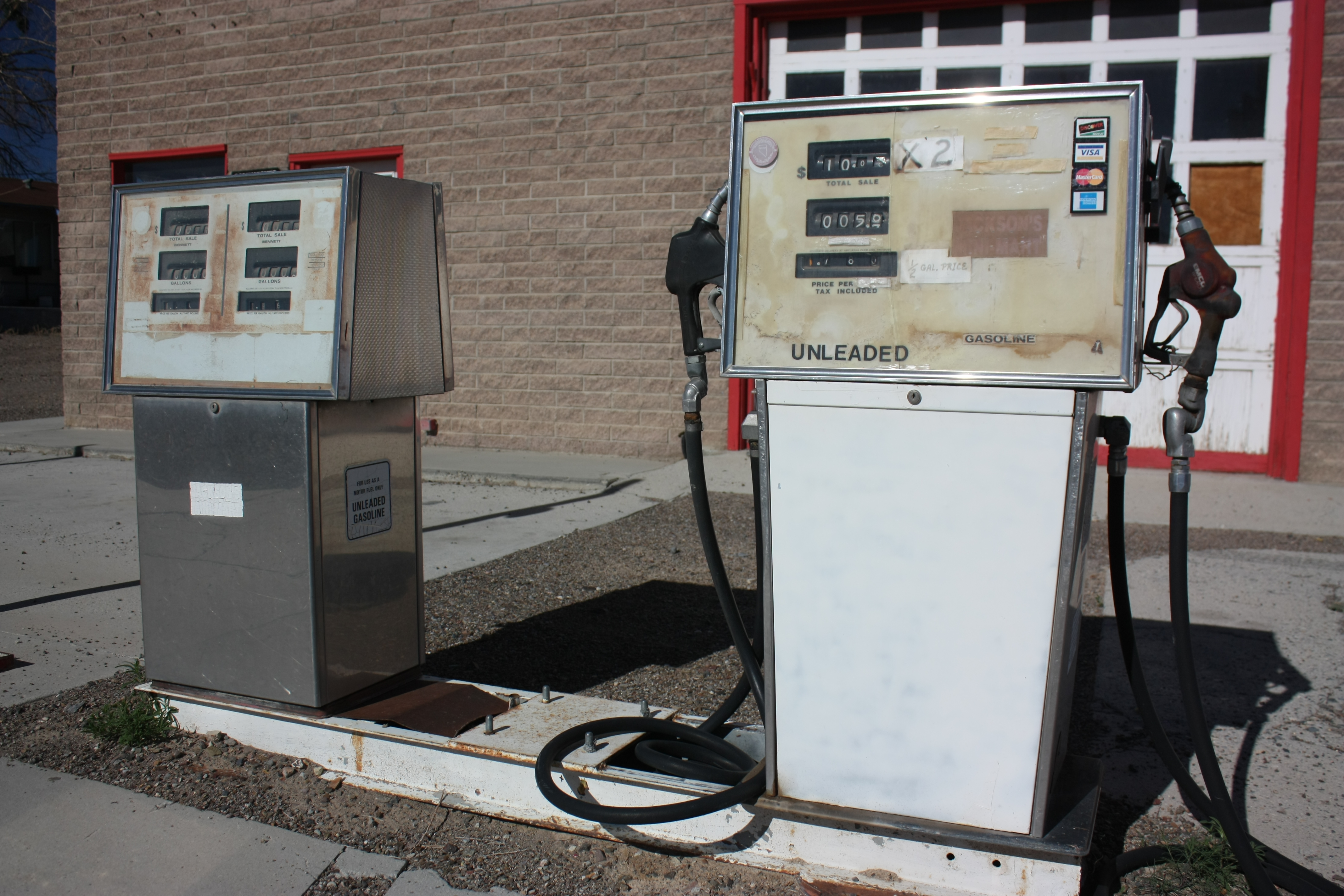
Day 188/365 - At least they take Visa
Fergison Range
wealthbyland-20090502-104618-DSC_0435

Mineral County
Pilot Peak
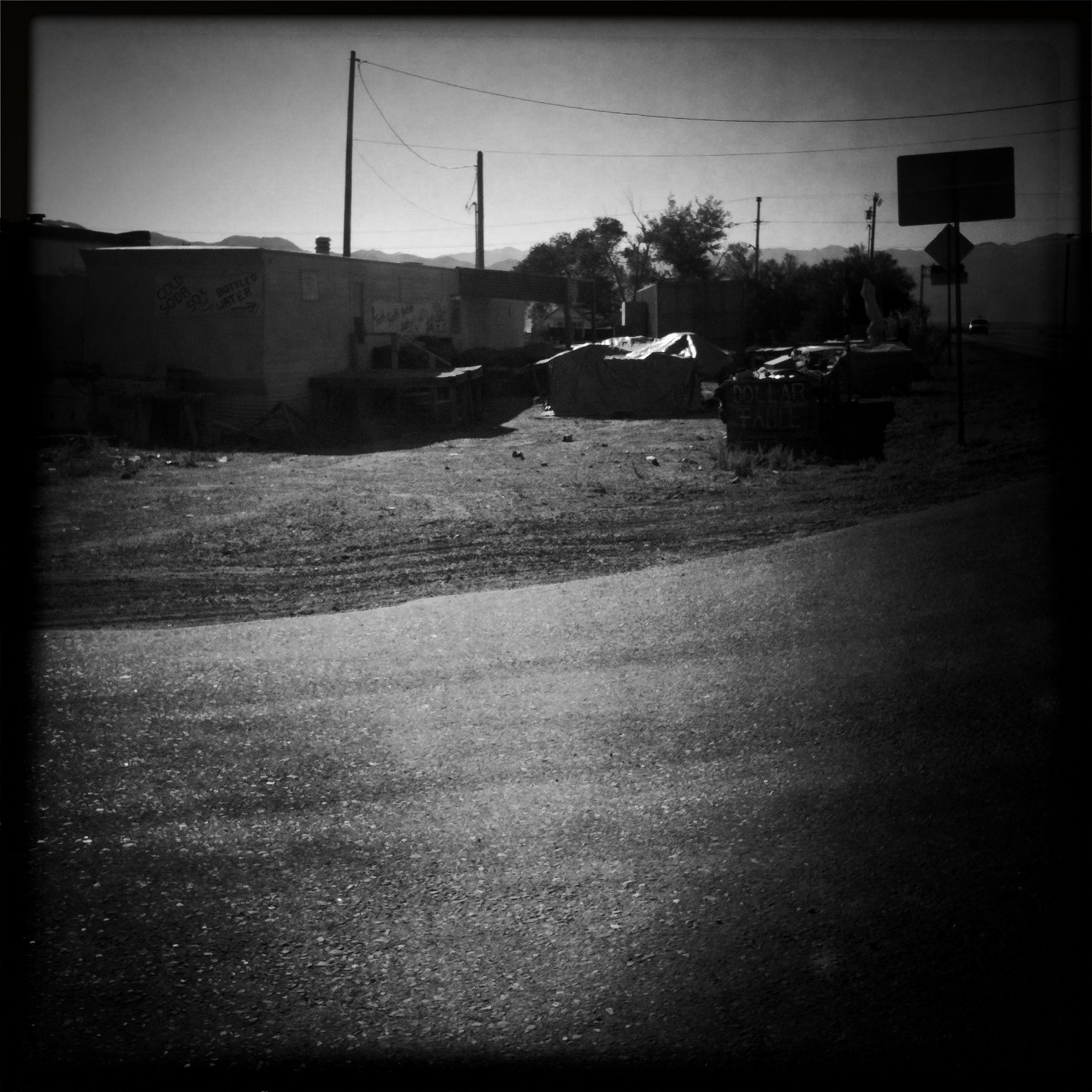
The Stephen King Novels Were True (Hipstamatic Contest Entry)
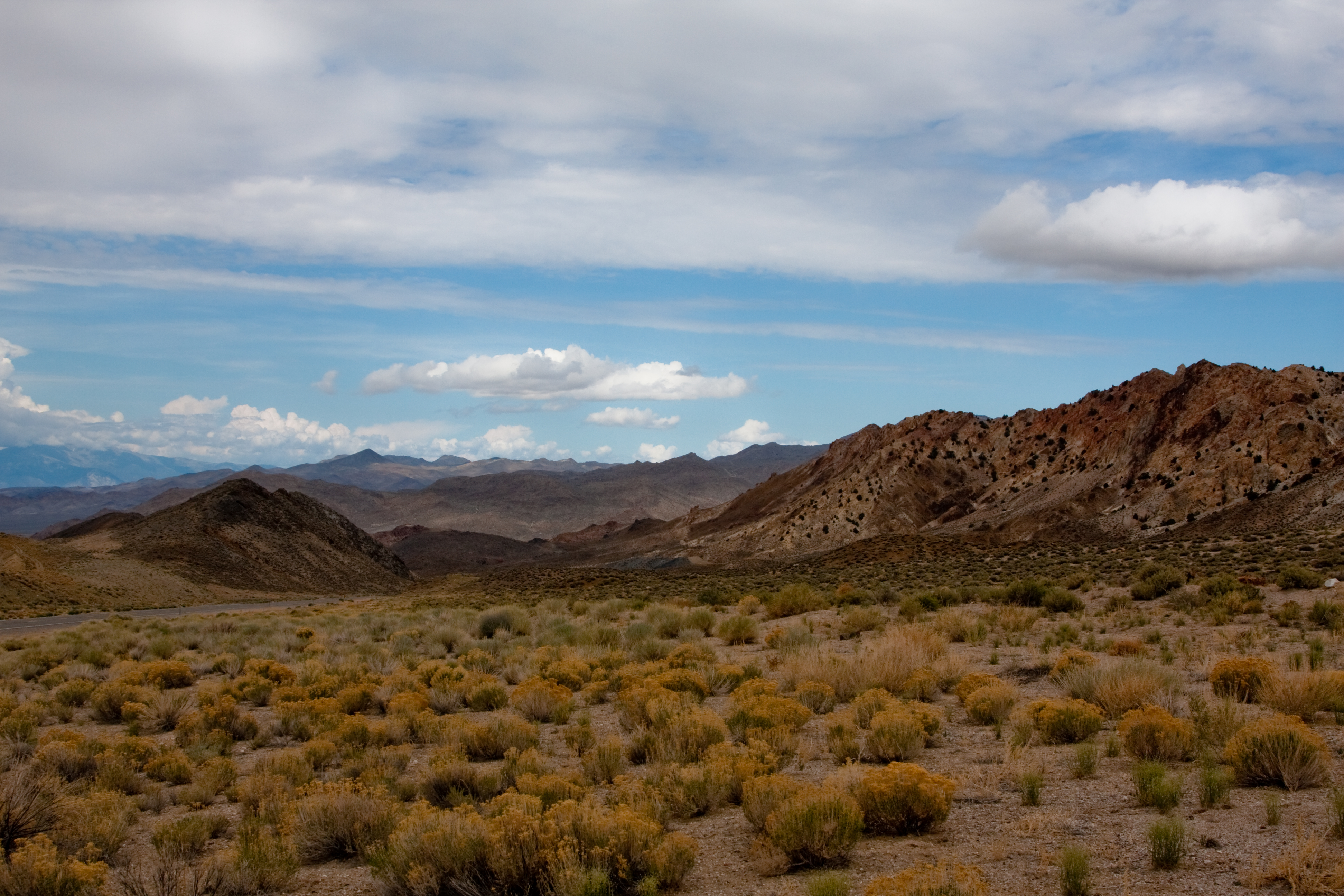
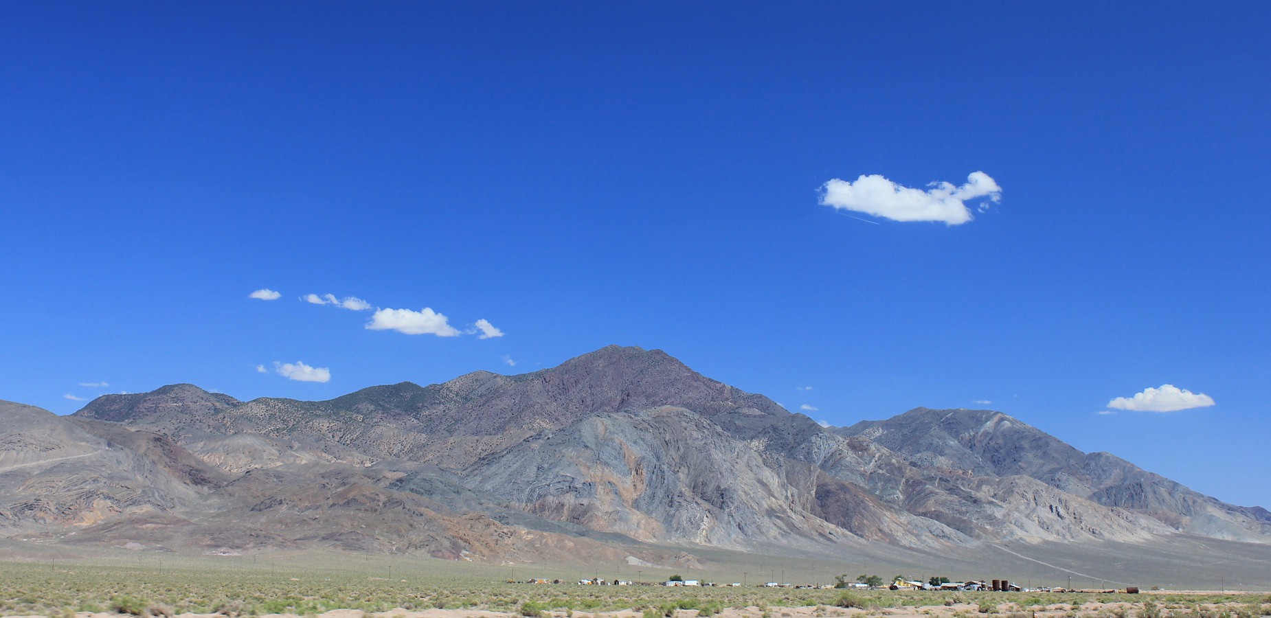
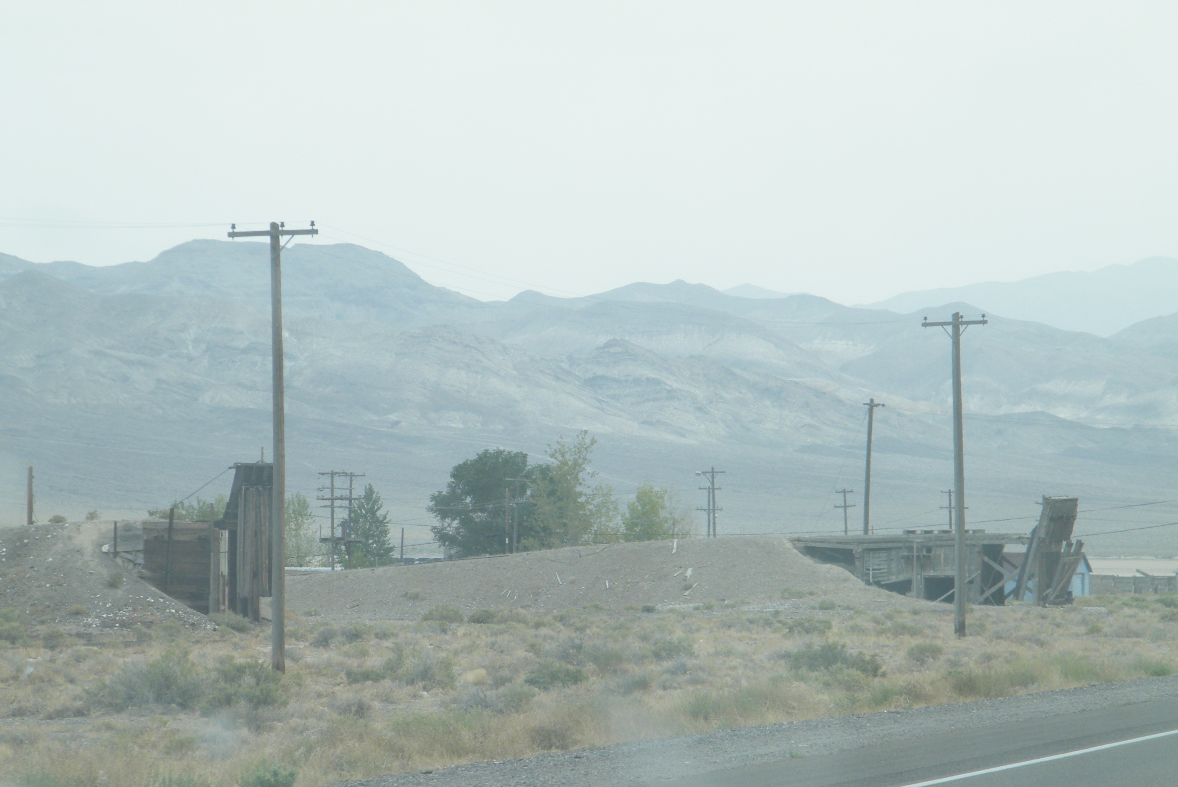
Gabbs Valley Range from U.S. 95, Near Luning, Nevada
wealthbyland-20090502-104523-DSC_0433

Gabbs Valley Range from U.S. 95, Near Luning, Nevada
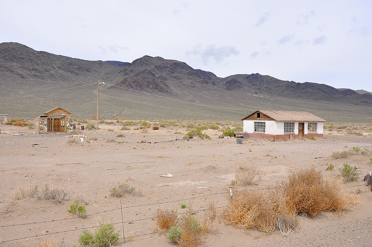
Old Mines
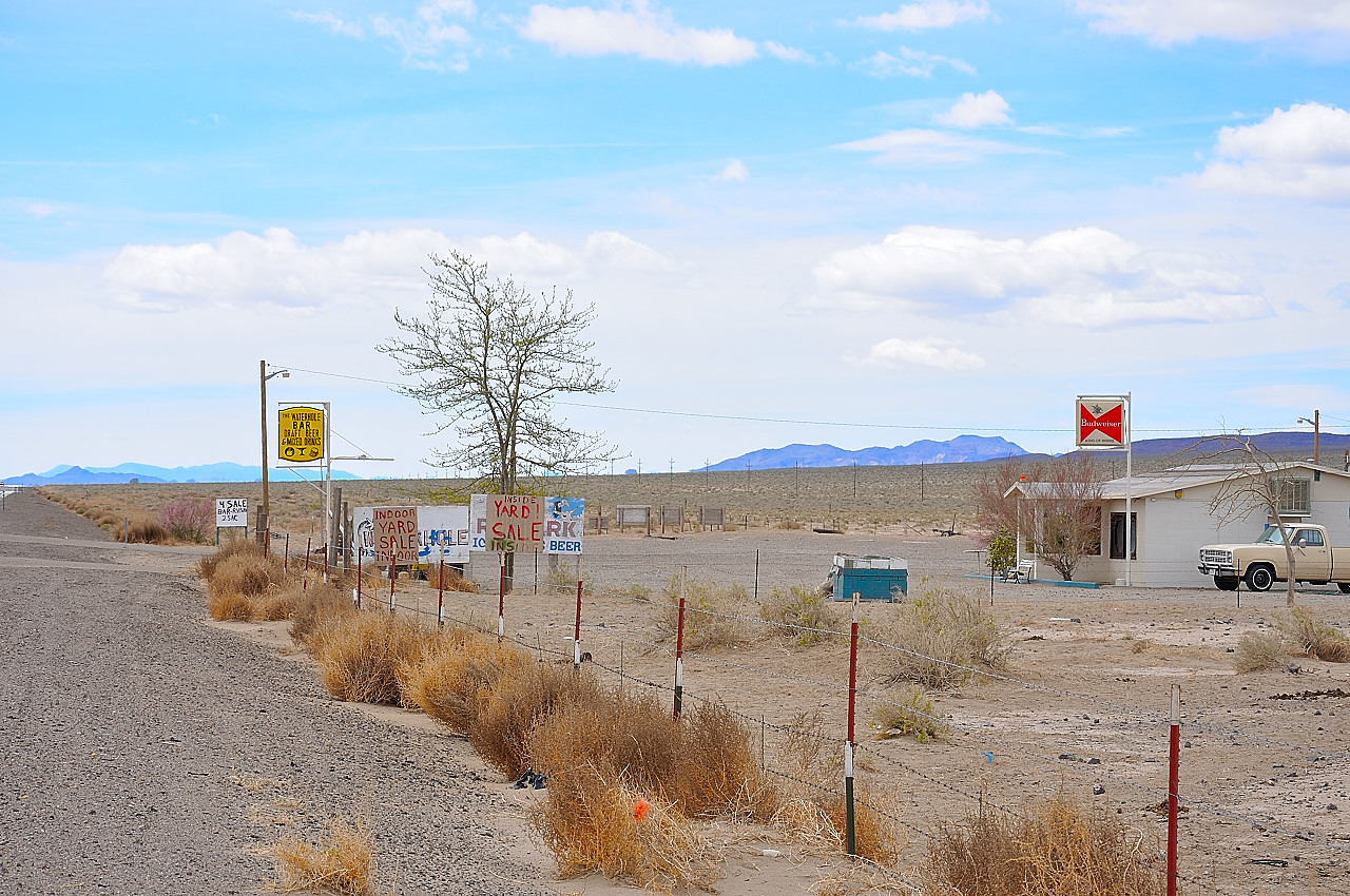
The Beauty of the Desert
Mineral County
Topographic Map of Muller Mountain, Nevada, USA
Find elevation by address:

Places near Muller Mountain, Nevada, USA:
Mina
Pilot Peak
Gabbs
Sherman Peak
Grantsville Ridge
Humboldt-toiyabe National Forest
Peavine Mountain
South Shoshone Peak
Lone Mountain
Columbine Campground
Mahogany Mountain
South Toiyabe Peak
Toiyabe Dome
North Shoshone Peak
Carvers
French Peak
Tonopah
Nevada 376
Manhattan
San Juan Campground
Recent Searches:
- Elevation of Corso Fratelli Cairoli, 35, Macerata MC, Italy
- Elevation of Tallevast Rd, Sarasota, FL, USA
- Elevation of 4th St E, Sonoma, CA, USA
- Elevation of Black Hollow Rd, Pennsdale, PA, USA
- Elevation of Oakland Ave, Williamsport, PA, USA
- Elevation of Pedrógão Grande, Portugal
- Elevation of Klee Dr, Martinsburg, WV, USA
- Elevation of Via Roma, Pieranica CR, Italy
- Elevation of Tavkvetili Mountain, Georgia
- Elevation of Hartfords Bluff Cir, Mt Pleasant, SC, USA