Elevation of Silverado, Ashland, MO, USA
Location: United States > Missouri > Boone County > Three Creeks Township > Ashland >
Longitude: -92.273406
Latitude: 38.781948
Elevation: 269m / 883feet
Barometric Pressure: 98KPa
Elevation Map:
Satellite Map:
Related Photos:

Rock Bridge Memorial State Park
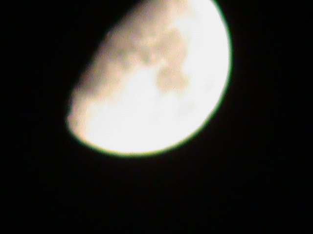
View of the Moon

Devil's Icebox Panoramas
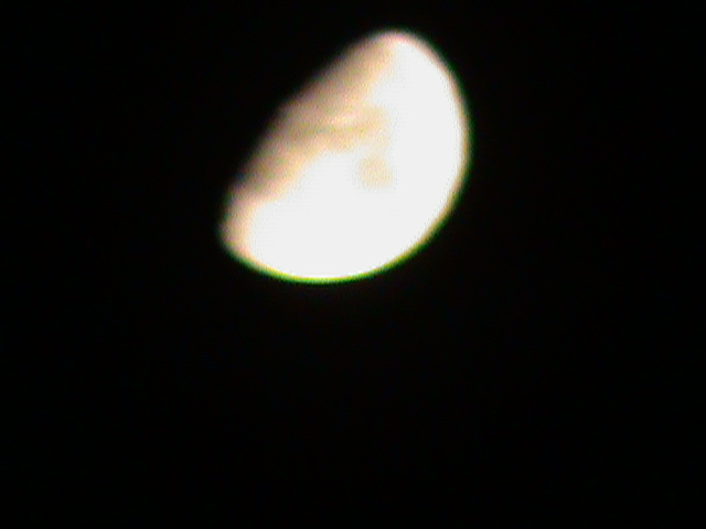
View of The Moon
Window View

Old Hawthorne Clubhouse
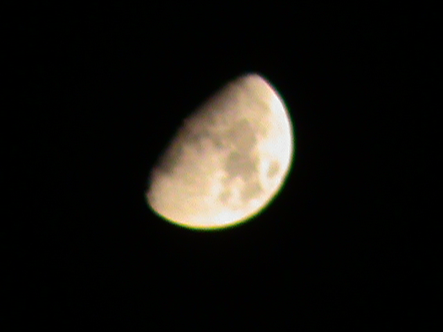
View of The Moon

The Rock Shelf and Leaves
Perches for Viewing

Inside the Mouth of the Devil's Icebox

Grand Rear View

Getting Closer to a Mushroom

A Peaceful Generation

Evening Shuttle

Katy Trail State Park near Easely
Eagle Bluffs Conservation Area

Creek bed coming out of the Rock Bridge

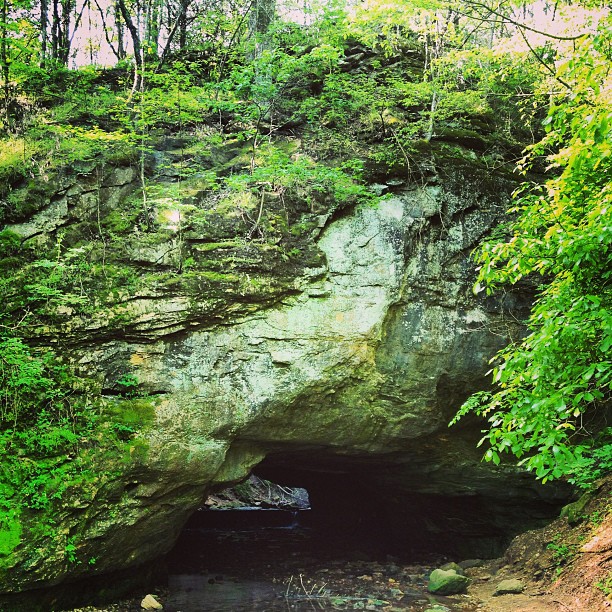
Rock Walls Surrounding Devil's Icebox Cave
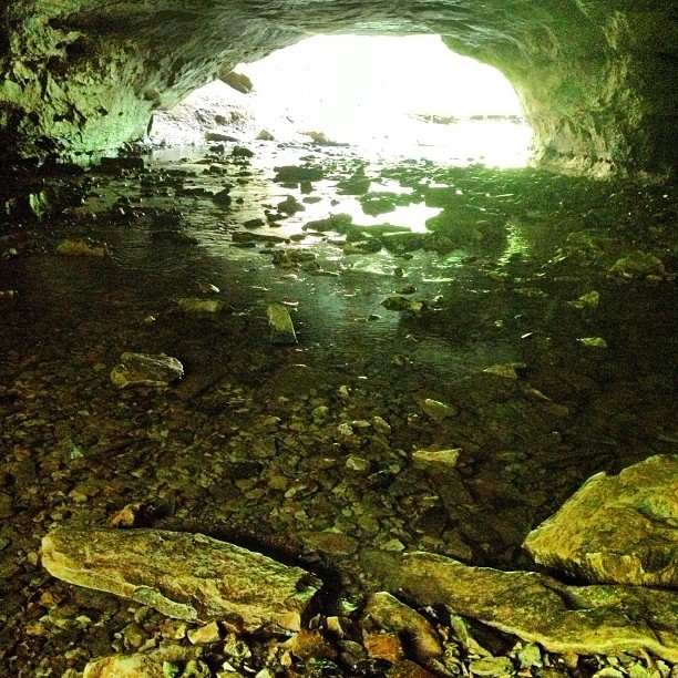
Falls at Entrance to Devil's Icebox Cave
reflective shadow
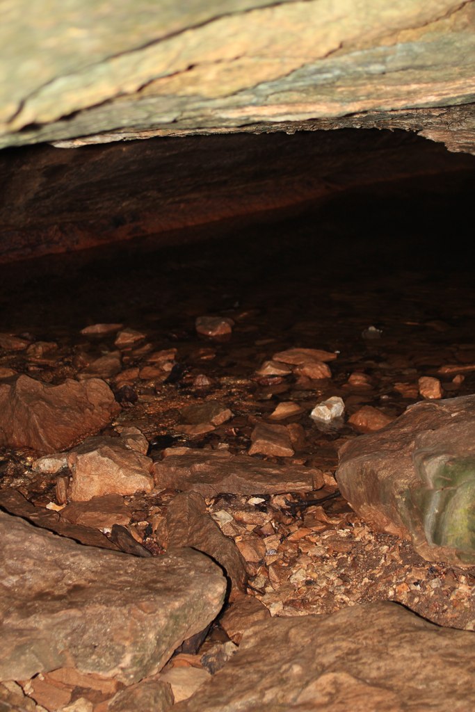
Devil's Icebox Cave

Raised trails along the creek

Baby waterfall and lovely reflections of the green canopy above

High Ridge Trail
Looking back on the path of skipped wet stones
Rock Bridge - made from limestone shaped by water erosion

shootingstar01-08-11(3)

High Ridge Trail
Topographic Map of Silverado, Ashland, MO, USA
Find elevation by address:

Places near Silverado, Ashland, MO, USA:
Ashland
1607 E Fox Hollow Rd
Cedar Township
Three Creeks Township
1630 E Cedar Tree Ln
Ashland, MO, USA
2261 E Bluebird Ln
E Deer Park Rd, Columbia, MO, USA
West Nashville Church Road
Missouri N, Columbia, MO, USA
Wilton
Easley
7701 Chimney Ridge Rd
South Bearfield Road
Claysville
5688 S Bethel Church Rd #5678
4126 Juniper Pl
State Hwy Ac & Old 63 S & Old U.s. 63
State Hwy Ac & S Bearfield Rd
Las Margaritas Columbia
Recent Searches:
- Elevation of Congressional Dr, Stevensville, MD, USA
- Elevation of Bellview Rd, McLean, VA, USA
- Elevation of Stage Island Rd, Chatham, MA, USA
- Elevation of Shibuya Scramble Crossing, 21 Udagawacho, Shibuya City, Tokyo -, Japan
- Elevation of Jadagoniai, Kaunas District Municipality, Lithuania
- Elevation of Pagonija rock, Kranto 7-oji g. 8"N, Kaunas, Lithuania
- Elevation of Co Rd 87, Jamestown, CO, USA
- Elevation of Tenjo, Cundinamarca, Colombia
- Elevation of Côte-des-Neiges, Montreal, QC H4A 3J6, Canada
- Elevation of Bobcat Dr, Helena, MT, USA