Elevation of Wilton, MO, USA

Location: United States > Missouri > Boone County > Cedar Township >

Longitude: -92.359076

Latitude: 38.7350331

Elevation: 177m / 581feet

Barometric Pressure: 99KPa

Elevation Map:

elevation map of Wilton, MO, USA

Satellite Map:

Satellite map of Wilton, MO, USA

Related Photos:

cormorant doublecrestedcormorant eaglebluffsconservationarea eaglebluffs mcbane columbia boonecounty missouri nikon d850 600mmnikkor
Double-crested Cormorant at Eagle Bluffs Conservation Area - No. 1
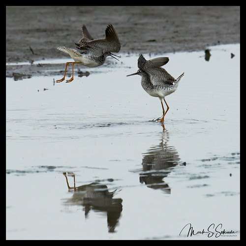
greateryellowlegs shorebirds eaglebluffsconservationarea ebca mcbane boonecounty missouri nikon d850 600mmnikkor
Greater Yellowlegs Dancing at Eagle Bluffs Conservation Area - No. 1
greateryellowlegs shorebirds eaglebluffsconservationarea ebca mcbane boonecounty missouri nikon d850 600mmnikkor
Greater Yellowlegs Dancing at Eagle Bluffs Conservation Area - No. 2
greateryellowlegs shorebirds eaglebluffsconservationarea ebca mcbane boonecounty missouri nikon d850 600mmnikkor
Greater Yellowlegs Dancing at Eagle Bluffs Conservation Area - No. 3
totalsolareclipse 2017totalsolareclipse eclipse columbia missouri eaglebluffsconservationarea nikon d800
Totality with Flare
totalsolareclipse 2017totalsolareclipse eclipse columbia missouri eaglebluffsconservationarea nikon d800
2017 Total Solar Eclipse - Eagle Bluffs Conservation Area
nikon columbia missouri d800 rockbridge rockbridgememorialstatepark 1424mmf28nikkor ©copyright
Rock Bridge Memorial State Park
hiking trails hike caves stateparks rockbridgestatepark devilsicebox afsdxvrzoomnikkor18200mmf3556gifed springbrooktrail deerruntrail
Inside the Mouth of the Devil's Icebox
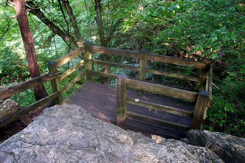
hiking trails walkway porch perch stateparks rockbridgestatepark afsdxvrzoomnikkor18200mmf3556gifed
Perches for Viewing
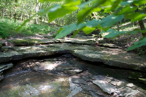
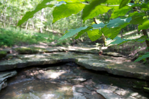
water pool leaves leaf hiking trails hike rockbridgestatepark afsdxvrzoomnikkor18200mmf3556gifed springbrooktrail rockshelves
The Rock Shelf and Leaves
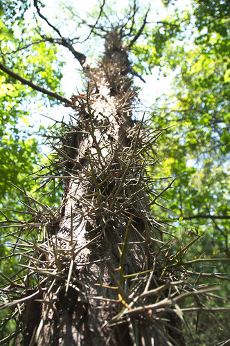
trees hiking trails hike thorns spikes rockbridgestatepark protrusions afsdxvrzoomnikkor18200mmf3556gifed naturalprotection springbrooktrail
Going Up the Thorny Tree
columbia missouri cooperslanding unitedstates us
View from Cooper's Landing
mushrooms hiking trails hike fungi fungus rockbridgestatepark afsdxvrzoomnikkor18200mmf3556gifed springbrooktrail
Getting Closer to a Mushroom
water pool leaves leaf hiking trails hike rockbridgestatepark afsdxvrzoomnikkor18200mmf3556gifed springbrooktrail rockshelves
Leaves and the Rock Shelf
Redhead - Aythya americana
sunset21212
Binder Lake Sunset
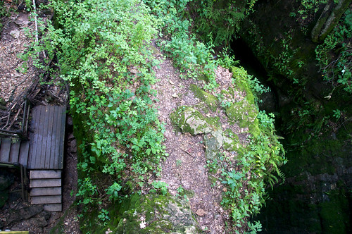
trails stateparks rockbridgestatepark devilsicebox afsdxvrzoomnikkor18200mmf3556gifed
View from Above
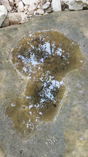
reflection puddle flickrandroidapp:filter=none
creek reflection
Eagle Bluffs Conservation Area