Elevation of Easley, MO, USA
Location: United States > Missouri > Boone County > Three Creeks Township >
Longitude: -92.376020
Latitude: 38.8017009
Elevation: 174m / 571feet
Barometric Pressure: 99KPa
Elevation Map:
Satellite Map:
Related Photos:

Double-crested Cormorant at Eagle Bluffs Conservation Area - No. 1

Greater Yellowlegs Dancing at Eagle Bluffs Conservation Area - No. 1

Greater Yellowlegs Dancing at Eagle Bluffs Conservation Area - No. 2
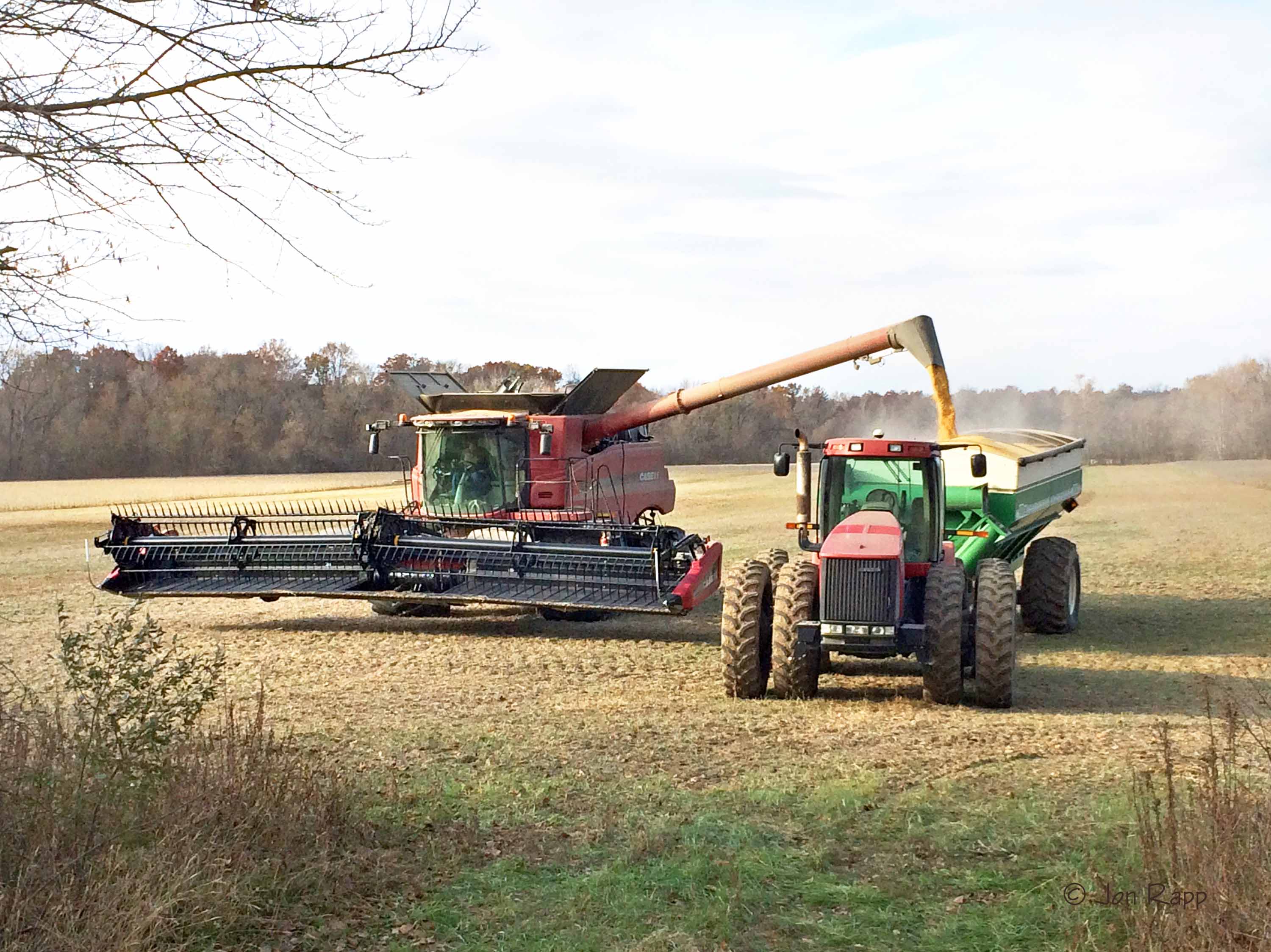
Soybean Harvest

Greater Yellowlegs Dancing at Eagle Bluffs Conservation Area - No. 3

Totality with Flare

2017 Total Solar Eclipse - Eagle Bluffs Conservation Area

Rock Bridge Memorial State Park

Top view

Macro Penny

Eye of the...... kitty!

Old Hawthorne Clubhouse

View from my seat

My cul-de-sac - Winter Storm 2006

Homemade wall lamp, side view

Inside the Mouth of the Devil's Icebox

Lake View

Early Autumn Along County House Trail

Eagle Bluffs Conservation Area

Eagle Bluffs Conservation Area

Sunset Over Big Burr Oak

Time Traveler
Topographic Map of Easley, MO, USA
Find elevation by address:

Places near Easley, MO, USA:
Missouri N, Columbia, MO, USA
West Nashville Church Road
Providence
1607 E Fox Hollow Rd
Rock Bridge
7701 Chimney Ridge Rd
Wilton
2261 E Bluebird Ln
1630 E Cedar Tree Ln
5688 S Bethel Church Rd #5678
Lupus Rd, Jamestown, MO, USA
615 Dustin Dr
Las Margaritas Columbia
808 Silverado
55929 Hwy P
Linn Township
Jamestown
Sophia's
2236 Walcox Dr
Cedar Township
Recent Searches:
- Elevation of Congressional Dr, Stevensville, MD, USA
- Elevation of Bellview Rd, McLean, VA, USA
- Elevation of Stage Island Rd, Chatham, MA, USA
- Elevation of Shibuya Scramble Crossing, 21 Udagawacho, Shibuya City, Tokyo -, Japan
- Elevation of Jadagoniai, Kaunas District Municipality, Lithuania
- Elevation of Pagonija rock, Kranto 7-oji g. 8"N, Kaunas, Lithuania
- Elevation of Co Rd 87, Jamestown, CO, USA
- Elevation of Tenjo, Cundinamarca, Colombia
- Elevation of Côte-des-Neiges, Montreal, QC H4A 3J6, Canada
- Elevation of Bobcat Dr, Helena, MT, USA