Elevation of E Cedar Tree Ln, Hartsburg, MO, USA
Location: United States > Missouri > Boone County > Cedar Township >
Longitude: -92.319857
Latitude: 38.7437761
Elevation: 238m / 781feet
Barometric Pressure: 98KPa
Elevation Map:
Satellite Map:
Related Photos:

View from Cooper's Landing

Totality with Flare

2017 Total Solar Eclipse - Eagle Bluffs Conservation Area
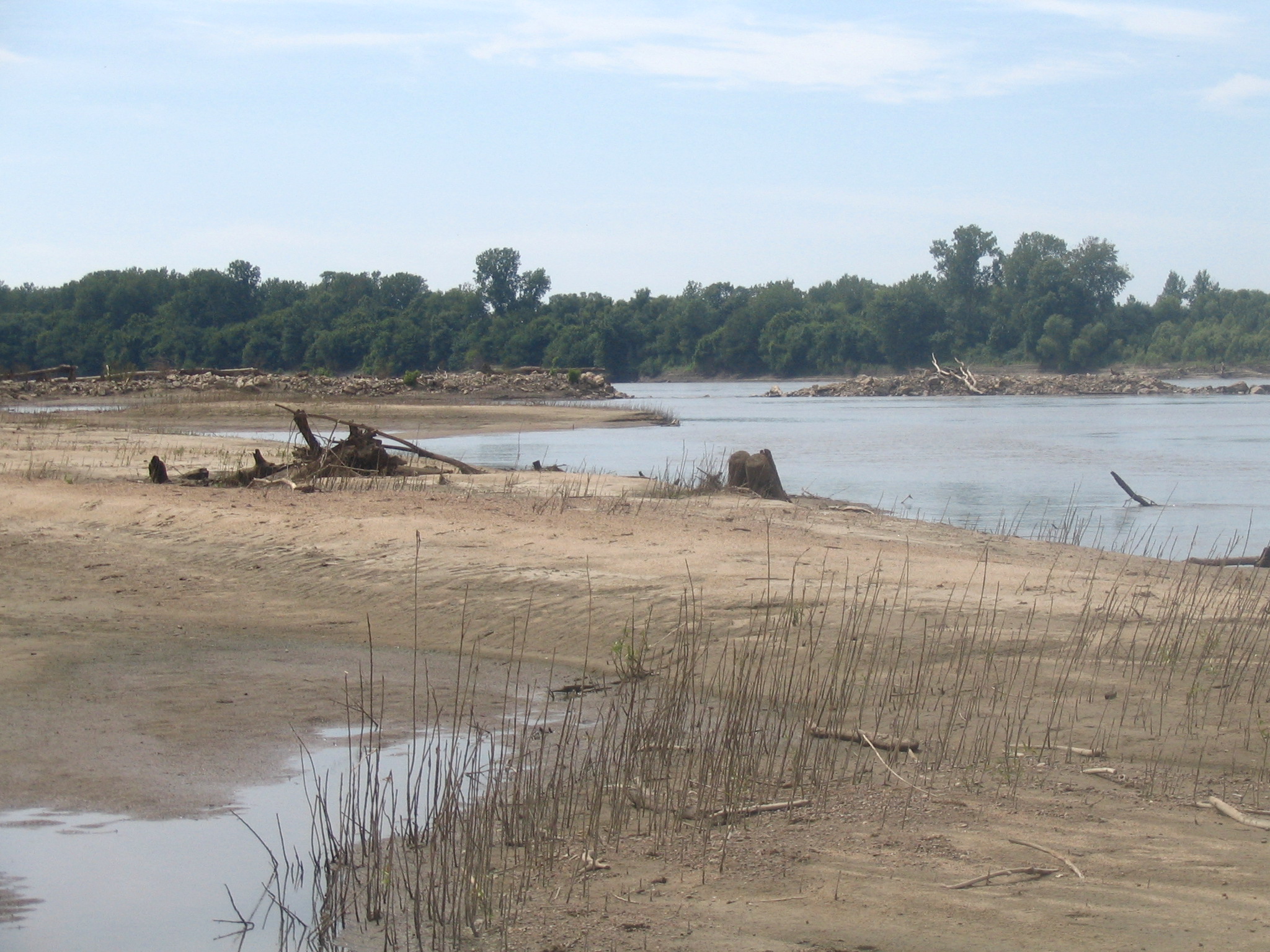
View from the sandbar
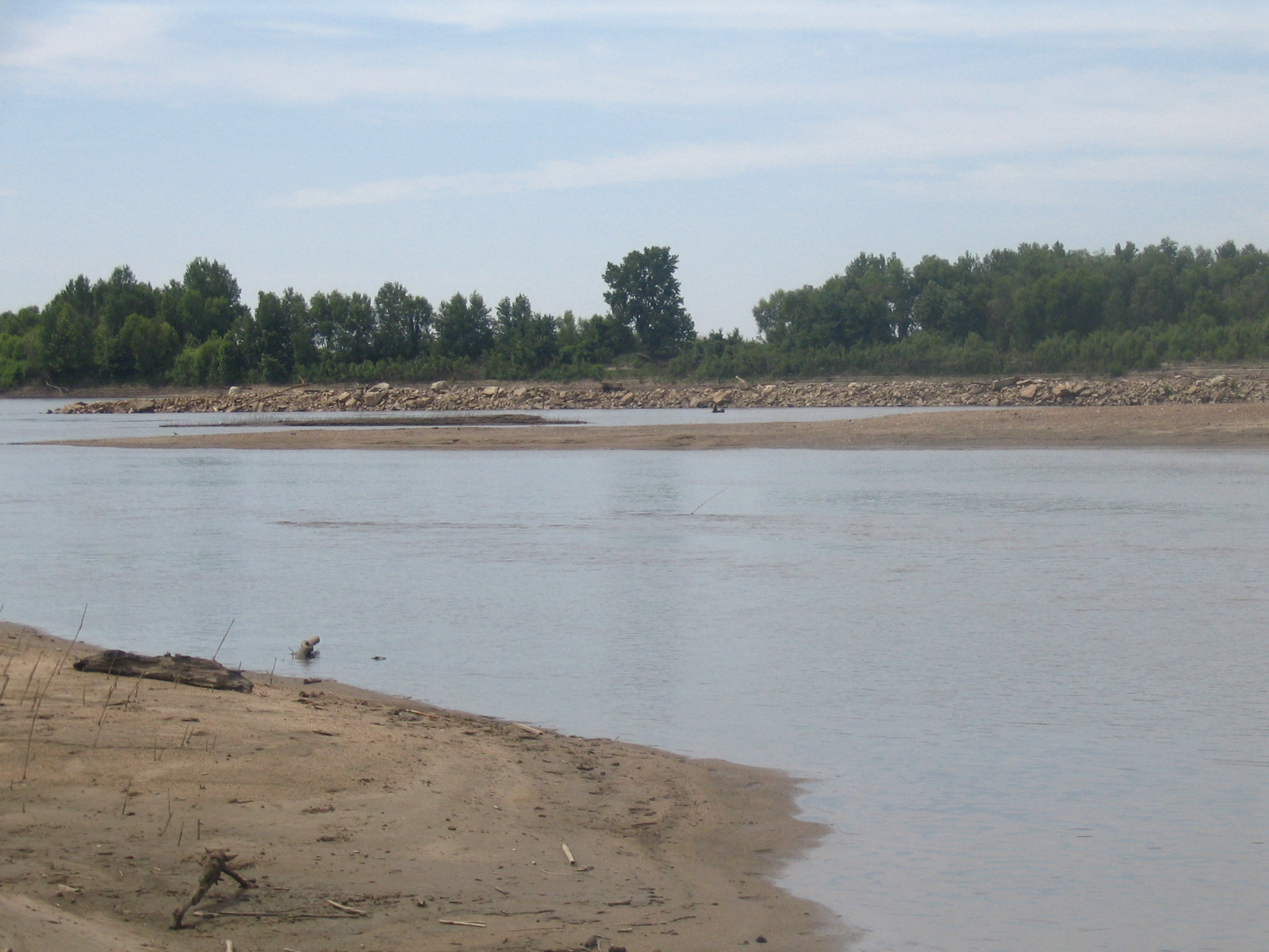
View from the sandbar
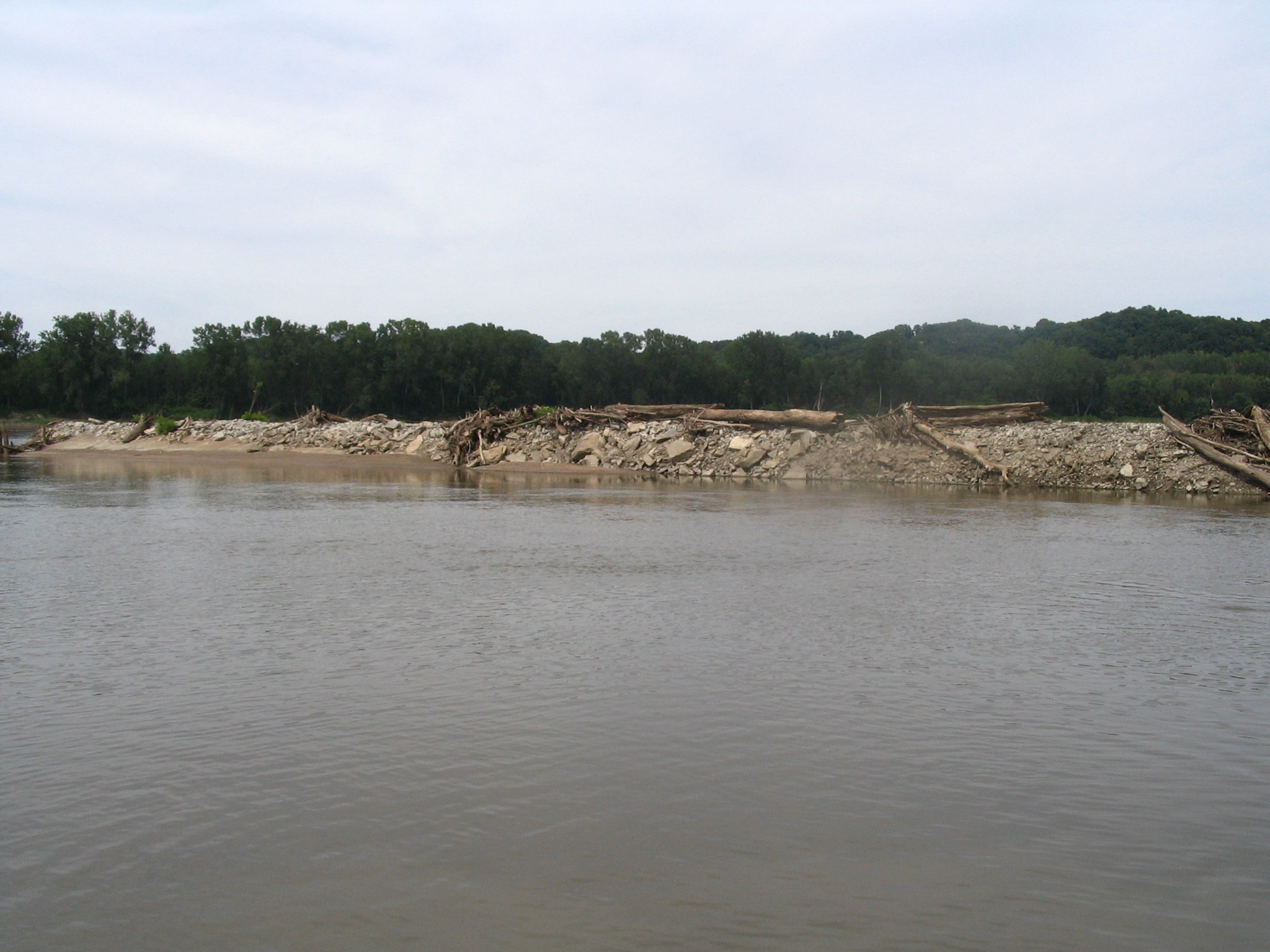
View from the sandbar
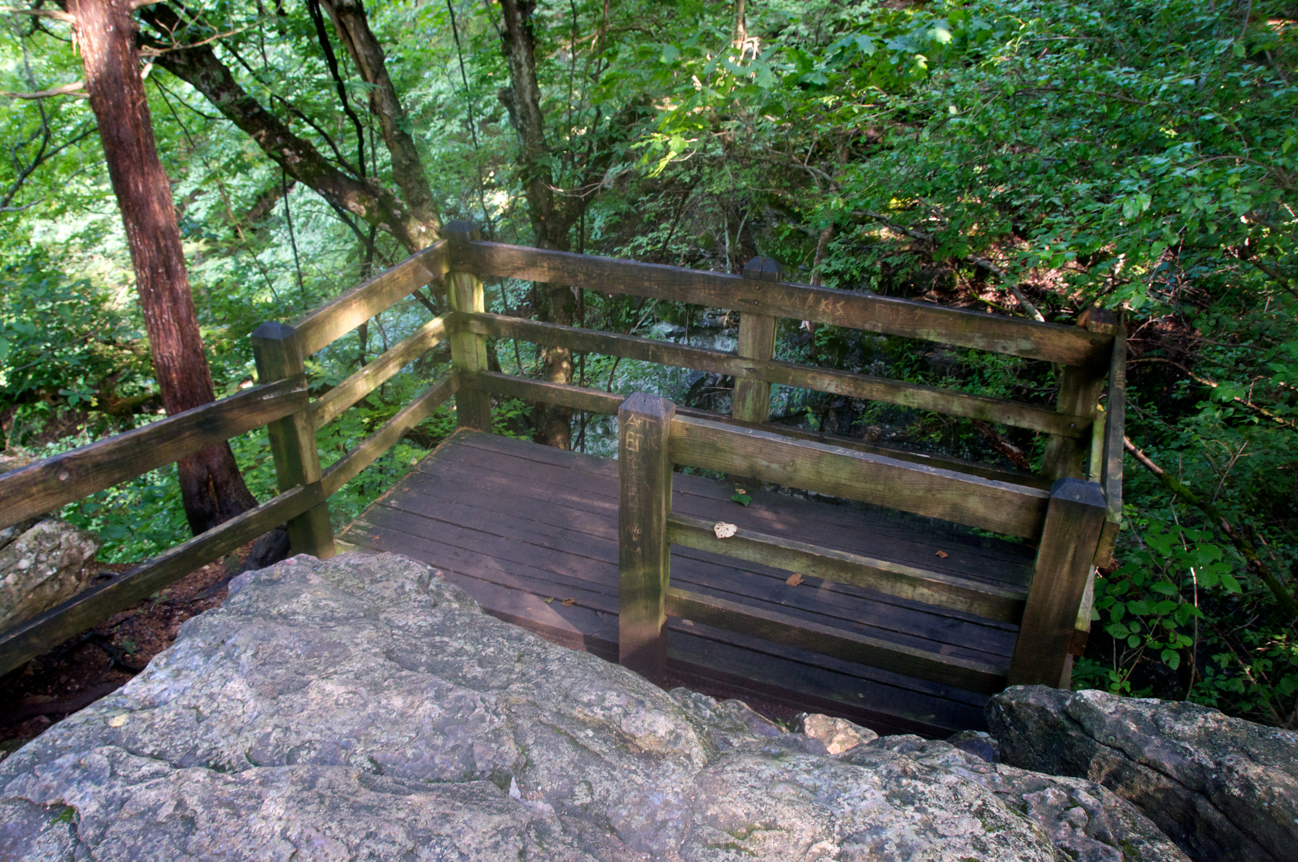
Perches for Viewing

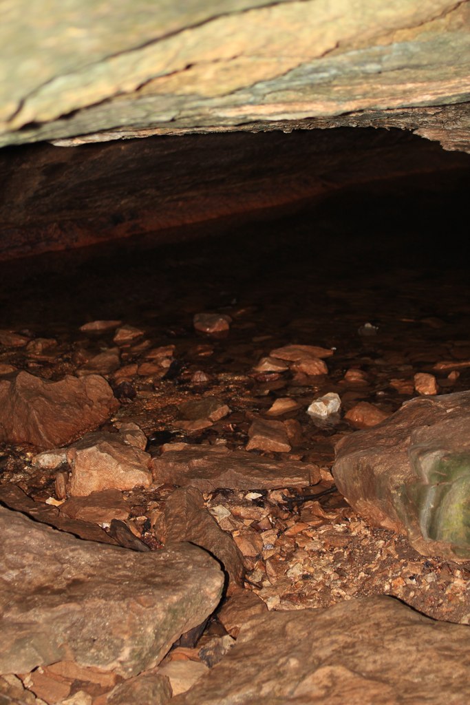
Inside the Mouth of the Devil's Icebox

Leaves and the Rock Shelf

Getting Closer to a Mushroom

The upward path may take more effort, but the payoff is a beautiful view and sense of accomplishment
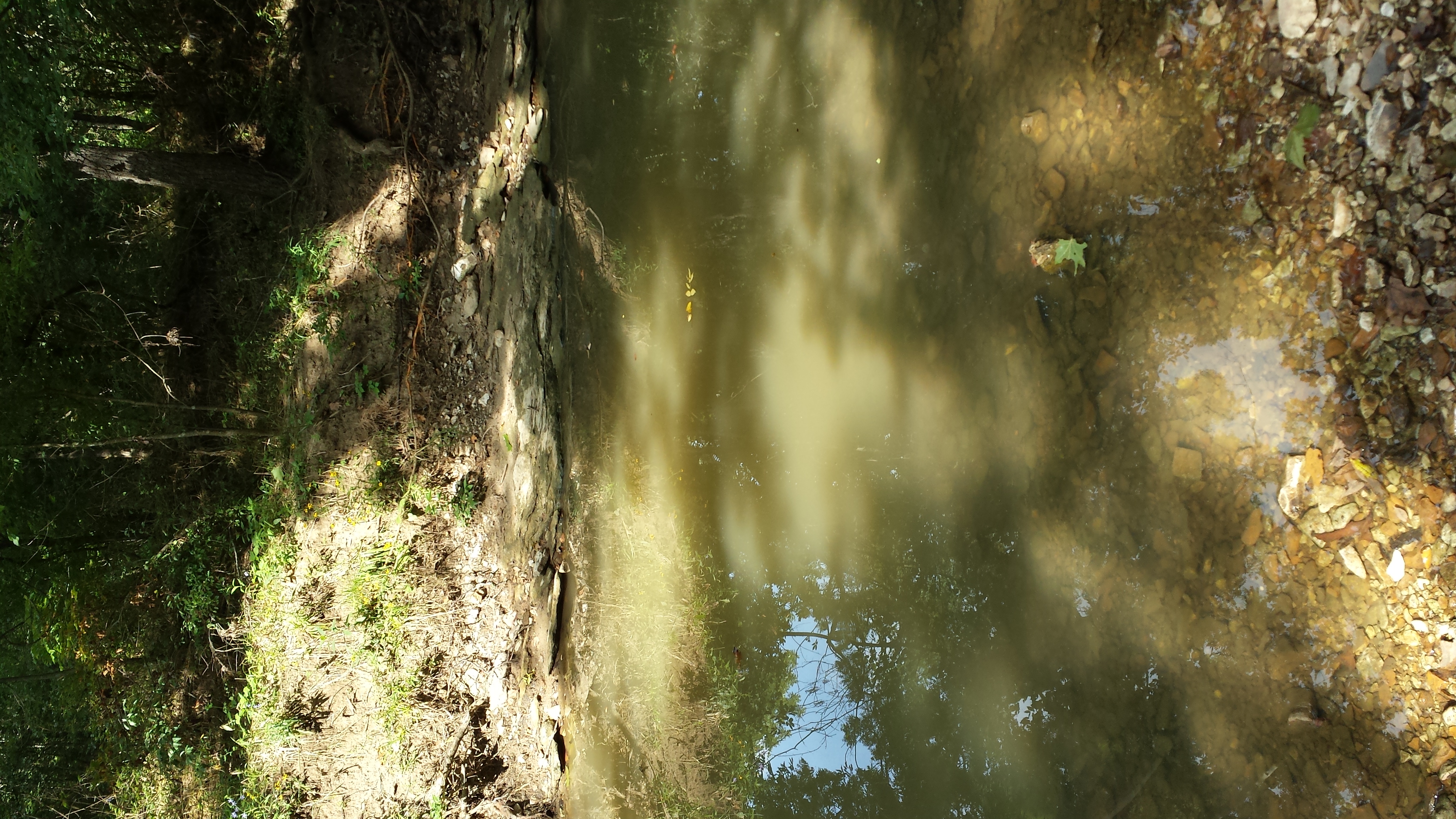
creek reflection

Explored a new trail with a view @ Rockbridge! #ShootingStar

The Rock Shelf and Leaves
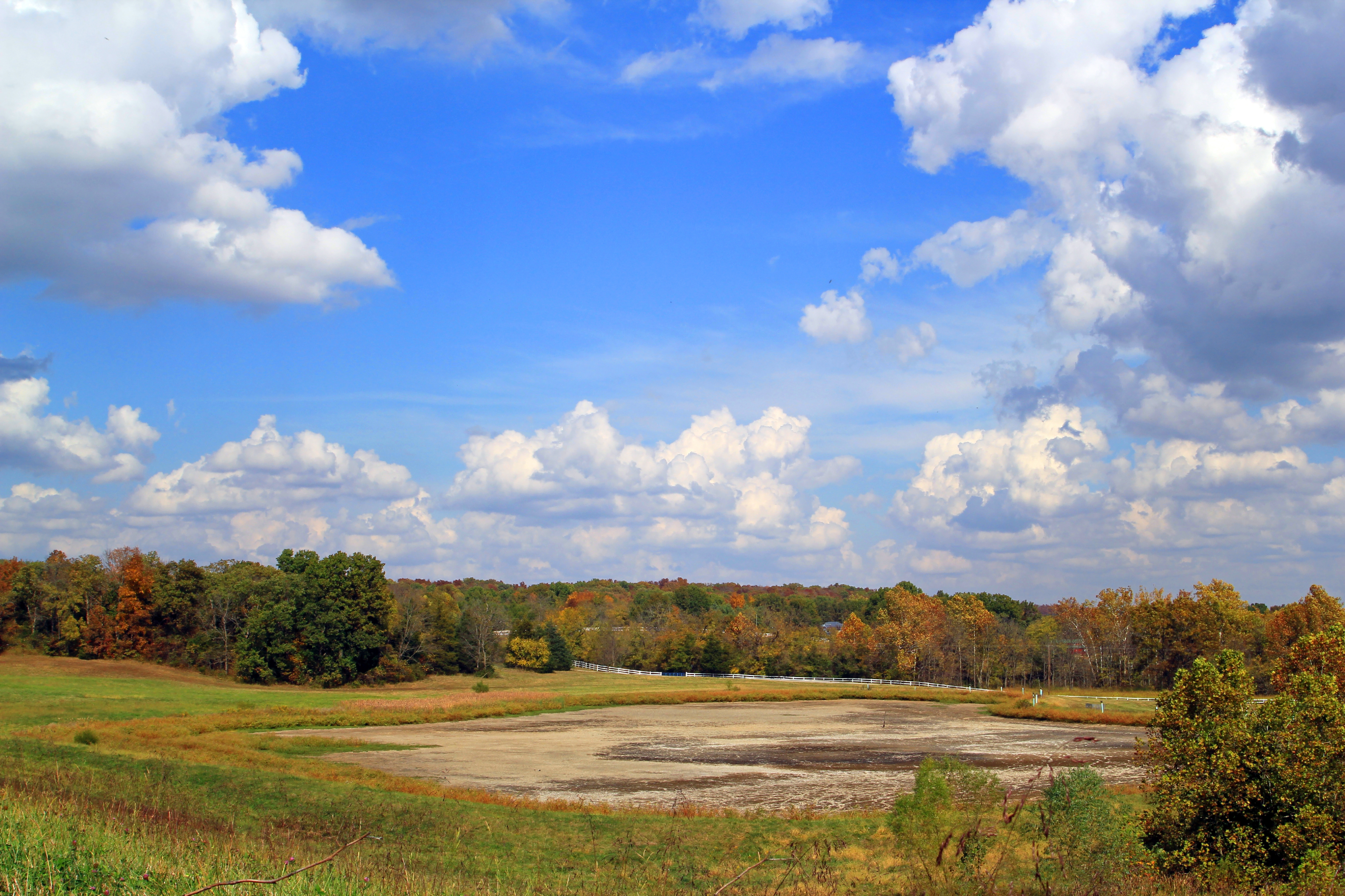
Eagle Bluffs Conservation Area
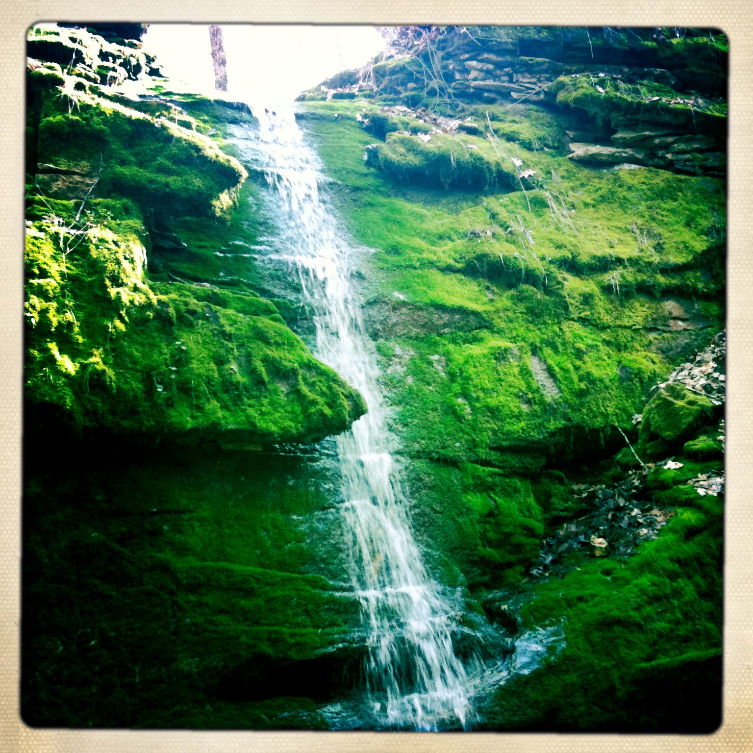
Falls at Entrance to Devil's Icebox Cave

Binder Lake Sunset
Binder Lake Sunset
Devil's Icebox Cave

Where the sun hits the soil, it shines bright red and orange
Partly Cloudy
reflective shadow

Raised trails along the creek
Devil’s Icebox

Baby waterfall and lovely reflections of the green canopy above

Rock Bridge State Park, Columbia
Topographic Map of E Cedar Tree Ln, Hartsburg, MO, USA
Find elevation by address:

Places near E Cedar Tree Ln, Hartsburg, MO, USA:
1607 E Fox Hollow Rd
Cedar Township
Wilton
808 Silverado
Ashland
Easley
West Nashville Church Road
Missouri N, Columbia, MO, USA
High Point Road
3222 Longview Dr
Claysville
Marion Township
2602 High Point Rd
Hidden Trail
2261 E Bluebird Ln
Three Creeks Township
6912 Mist Rd
Mist Road
Ashland, MO, USA
7701 Chimney Ridge Rd
Recent Searches:
- Elevation of Congressional Dr, Stevensville, MD, USA
- Elevation of Bellview Rd, McLean, VA, USA
- Elevation of Stage Island Rd, Chatham, MA, USA
- Elevation of Shibuya Scramble Crossing, 21 Udagawacho, Shibuya City, Tokyo -, Japan
- Elevation of Jadagoniai, Kaunas District Municipality, Lithuania
- Elevation of Pagonija rock, Kranto 7-oji g. 8"N, Kaunas, Lithuania
- Elevation of Co Rd 87, Jamestown, CO, USA
- Elevation of Tenjo, Cundinamarca, Colombia
- Elevation of Côte-des-Neiges, Montreal, QC H4A 3J6, Canada
- Elevation of Bobcat Dr, Helena, MT, USA