Elevation of Ashland, MO, USA
Location: United States > Missouri > Boone County > Three Creeks Township > Ashland >
Longitude: -92.203993
Latitude: 38.7789197
Elevation: 235m / 771feet
Barometric Pressure: 99KPa
Elevation Map:
Satellite Map:
Related Photos:
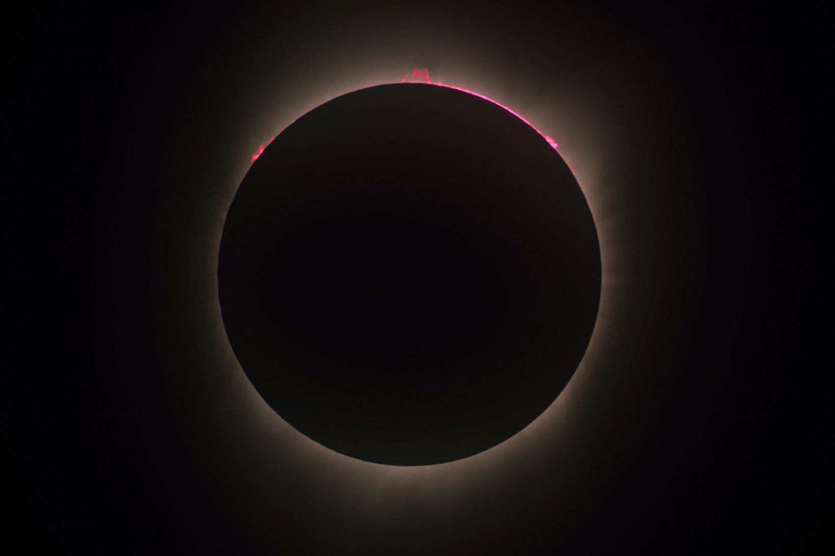
Moments before Third Contact

Rock Bridge Memorial State Park

Inside the Mouth of the Devil's Icebox

Perches for Viewing

The Rock Shelf and Leaves
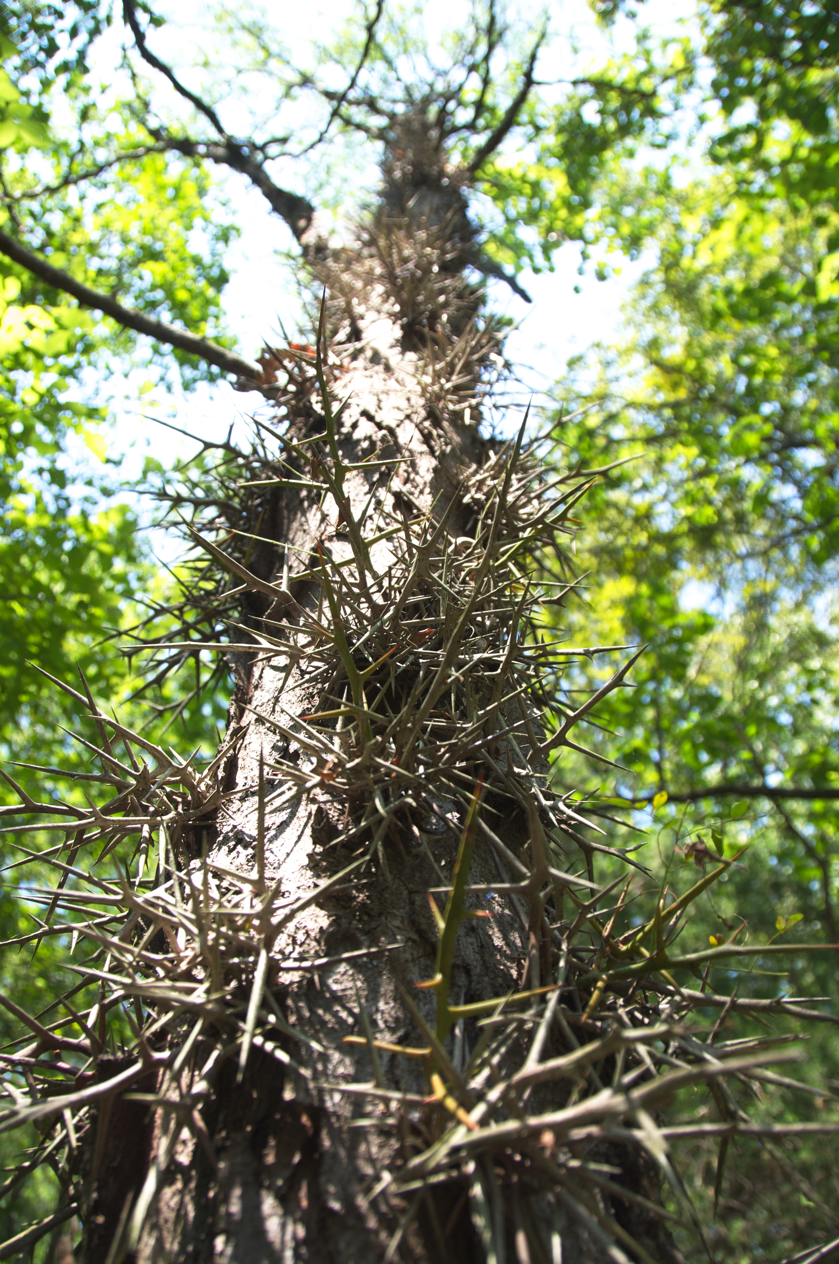
Going Up the Thorny Tree

View from Cooper's Landing

Getting Closer to a Mushroom

Leaves and the Rock Shelf

Explored a new trail with a view @ Rockbridge! #ShootingStar

Sedge Wren

View from Above

Marsh Wren

creek reflection

Land Rover

Falls at Entrance to Devil's Icebox Cave

Little Dixie Lake Sunrise
Topographic Map of Ashland, MO, USA
Find elevation by address:

Places near Ashland, MO, USA:
Ashland
Three Creeks Township
808 Silverado
Guthrie Township
Cedar Township
E Deer Park Rd, Columbia, MO, USA
State Rd Y, New Bloomfield, MO, USA
Cedar Township
1607 E Fox Hollow Rd
1630 E Cedar Tree Ln
Round Prairie Township
New Bloomfield
2261 E Bluebird Ln
Claysville
2441 Stoney Creek Rd
10422 Old Us Hwy 54
Co Rd, Fulton, MO, USA
West Nashville Church Road
Missouri N, Columbia, MO, USA
South Bearfield Road
Recent Searches:
- Elevation of Elwyn Dr, Roanoke Rapids, NC, USA
- Elevation of Congressional Dr, Stevensville, MD, USA
- Elevation of Bellview Rd, McLean, VA, USA
- Elevation of Stage Island Rd, Chatham, MA, USA
- Elevation of Shibuya Scramble Crossing, 21 Udagawacho, Shibuya City, Tokyo -, Japan
- Elevation of Jadagoniai, Kaunas District Municipality, Lithuania
- Elevation of Pagonija rock, Kranto 7-oji g. 8"N, Kaunas, Lithuania
- Elevation of Co Rd 87, Jamestown, CO, USA
- Elevation of Tenjo, Cundinamarca, Colombia
- Elevation of Côte-des-Neiges, Montreal, QC H4A 3J6, Canada