Elevation of Three Creeks Township, MO, USA
Location: United States > Missouri > Boone County >
Longitude: -92.243348
Latitude: 38.820003
Elevation: 243m / 797feet
Barometric Pressure: 98KPa
Elevation Map:
Satellite Map:
Related Photos:

Rock Bridge Memorial State Park

Jesse Hall Infrared

Golden Homecoming [EXPLORED]

Beetle Bailey

MU-Greenhouse-2008-58-Editsharpburn
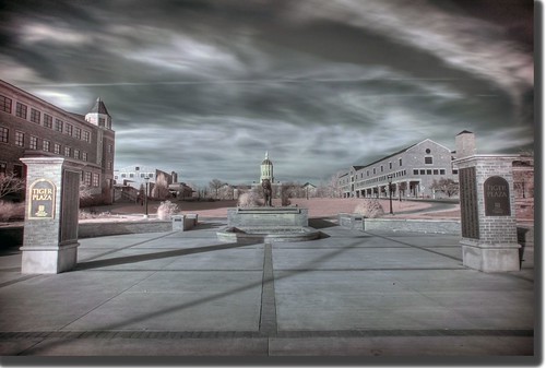
Tiger Plaza HDR Infrared
New view
View of the Moon
The long view

Devil's Icebox Panoramas
Window View
View of The Moon

View from my window #comogoldenhour #lathrop4life #silhouette

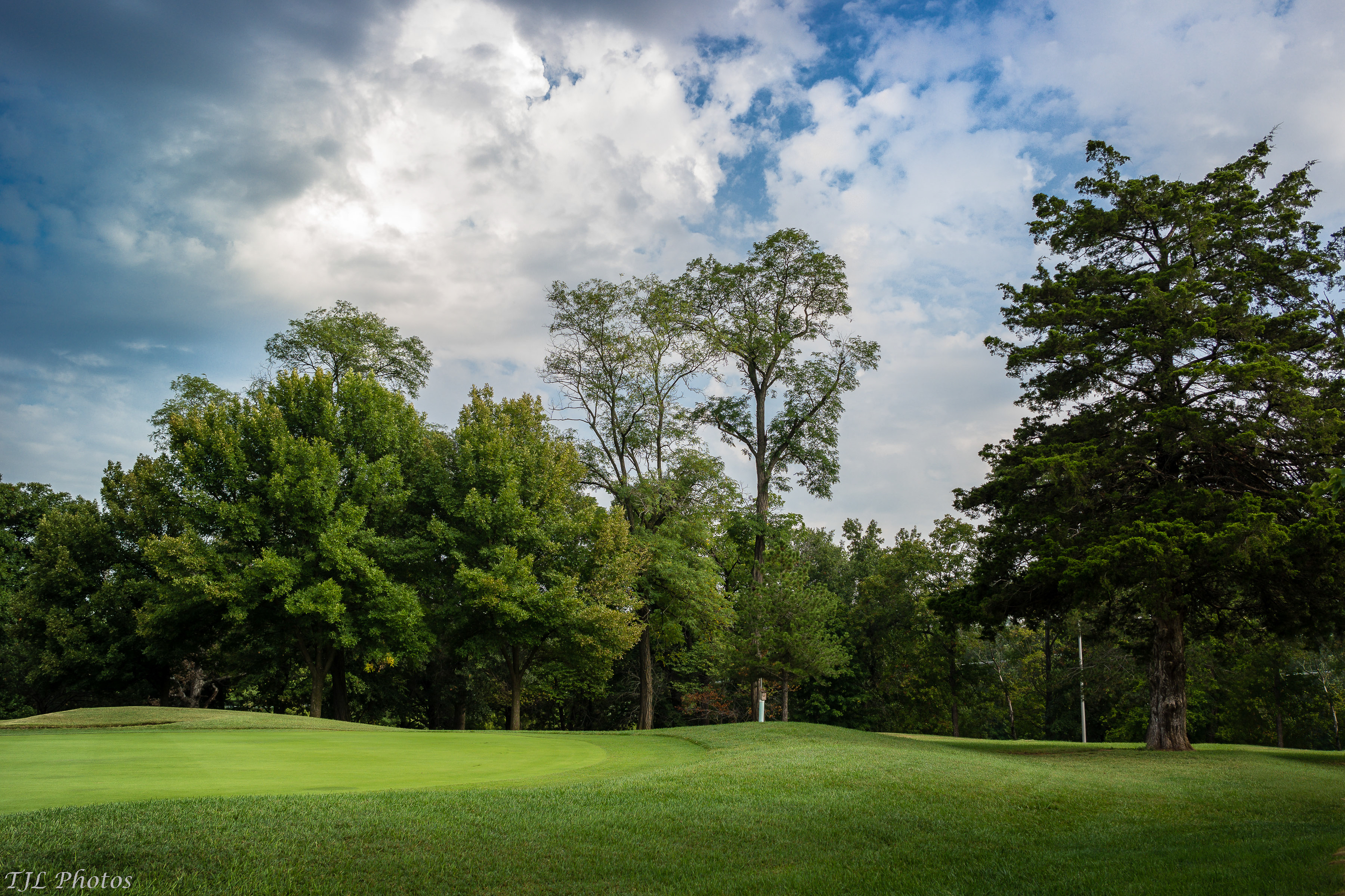
Old Hawthorne Clubhouse
Perches for Viewing
View of The Moon
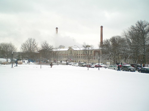
Steam plant of the school...
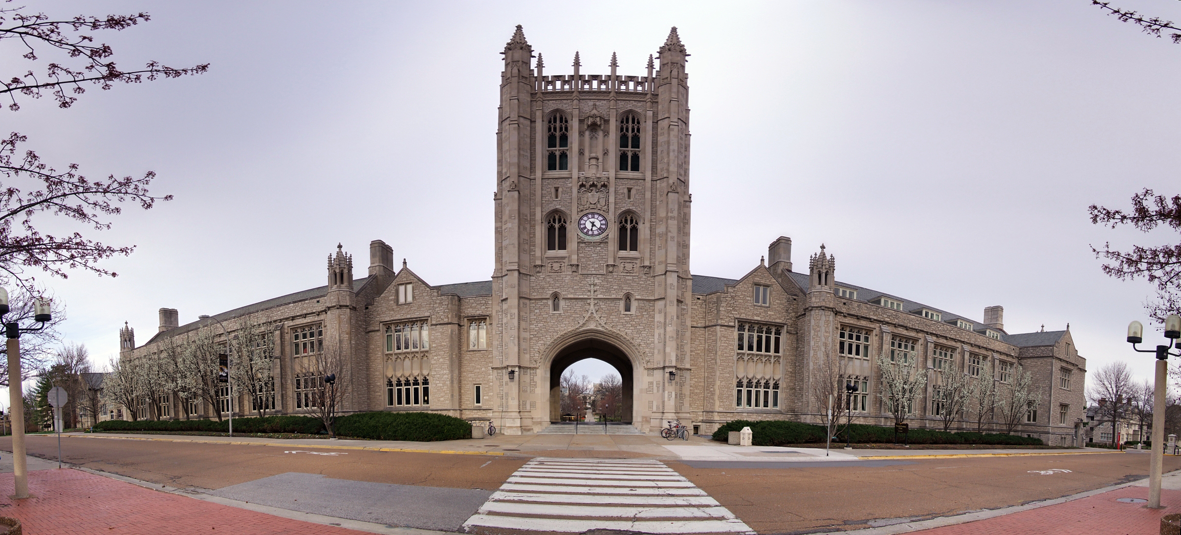
Memorial Union Panoramic
bug's view
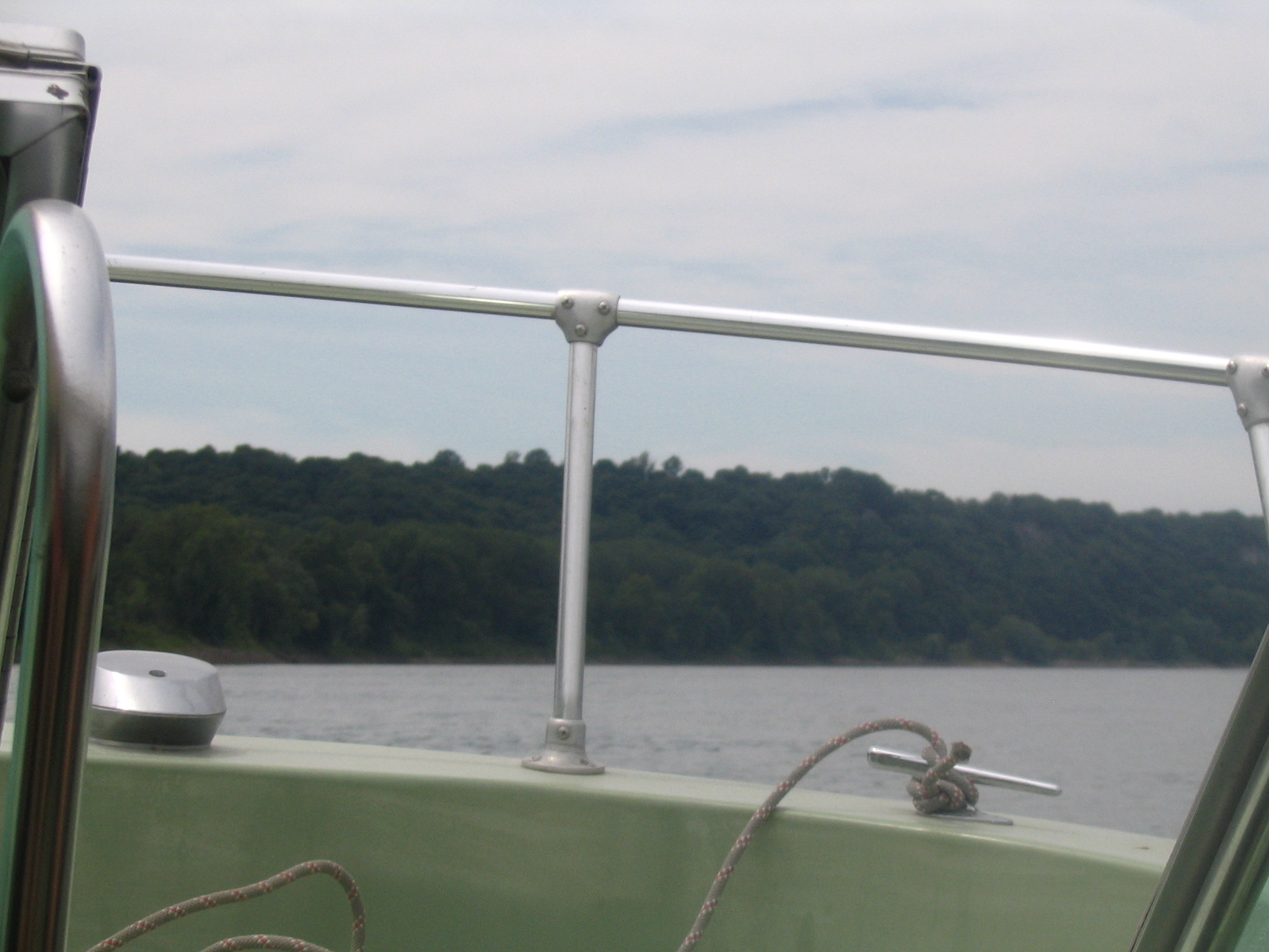
View from the boat
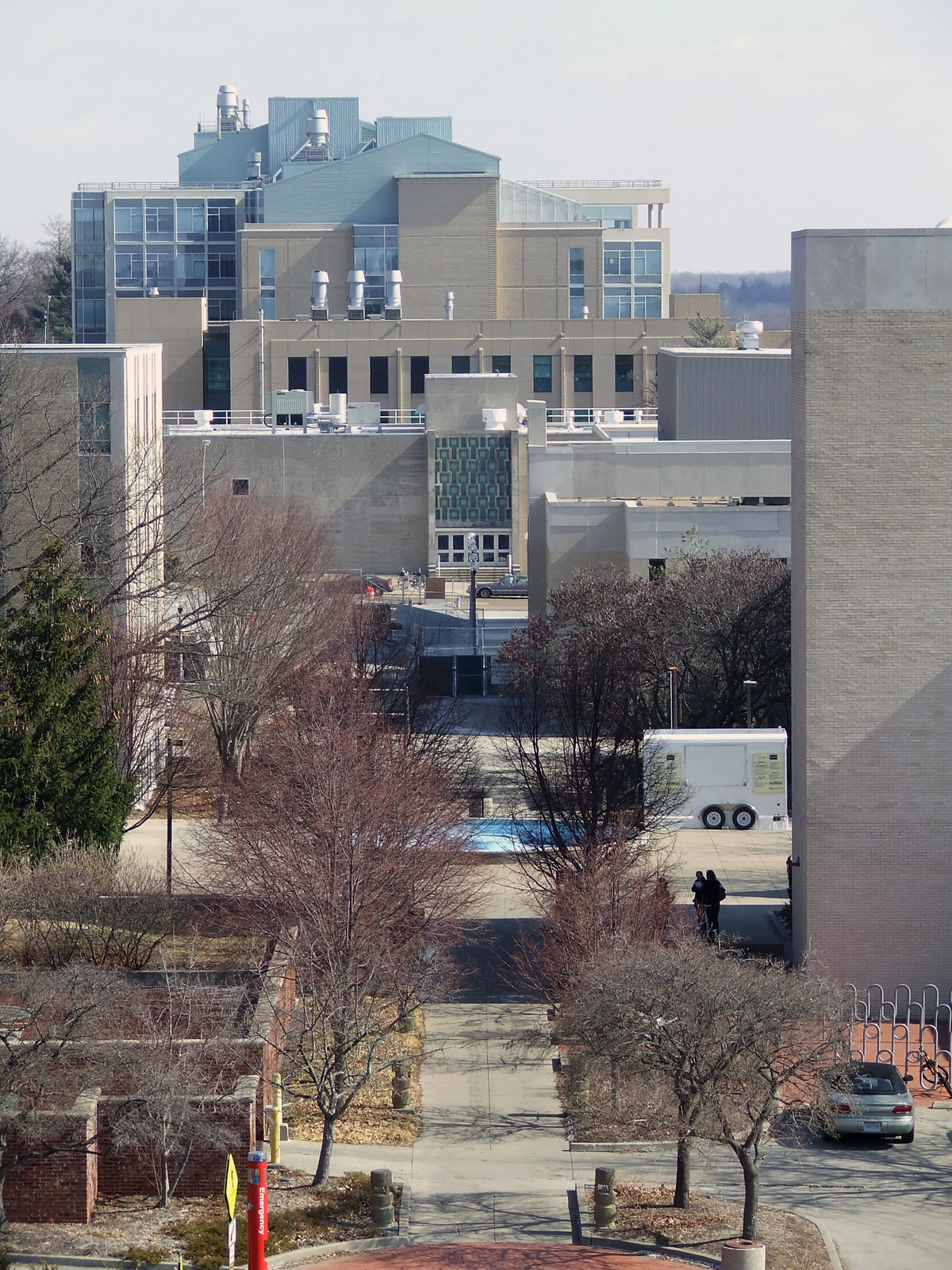
View East from Cornell Hall, MU Campus
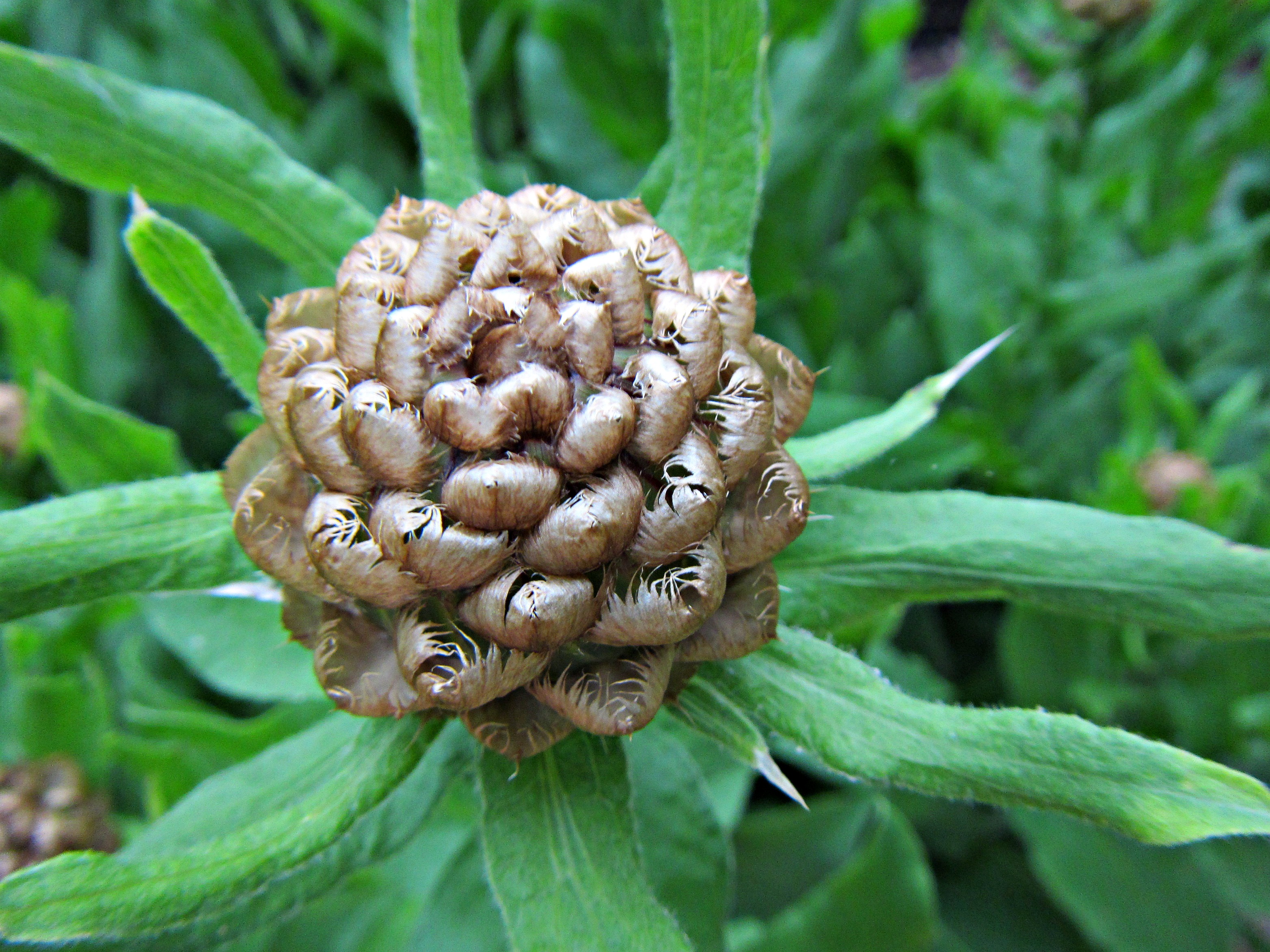
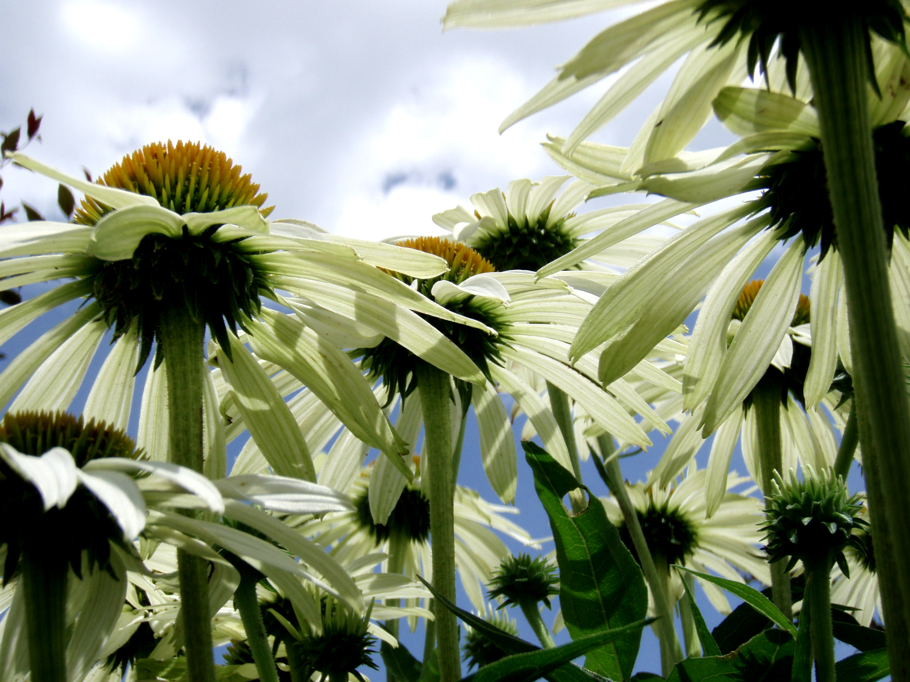
Interesting inflorescence, Explored (#144 for a while on July 17, 2014)

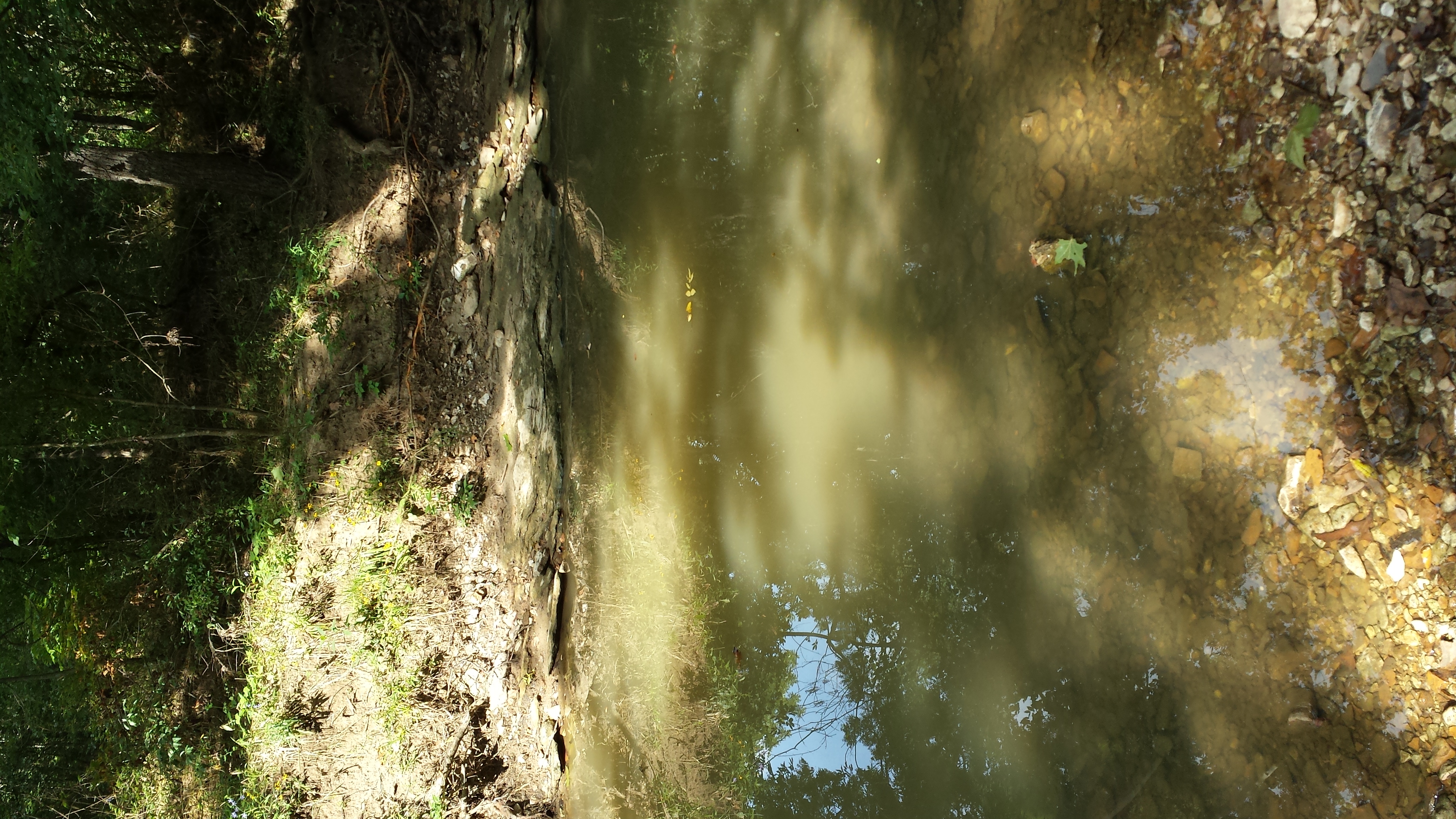
Creek bed coming out of the Rock Bridge

Sinkhole Trail
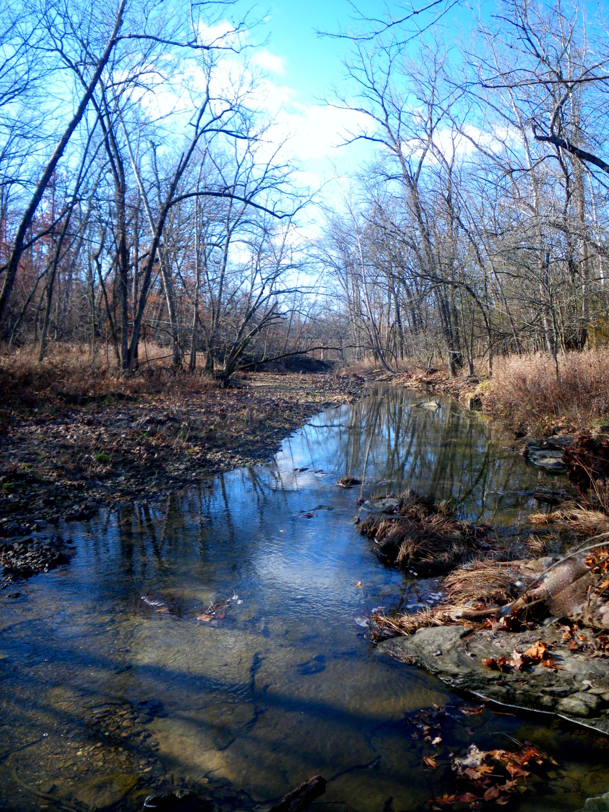
The Crick

Deer Run Trail

Rock Walls Surrounding Devil's Icebox Cave
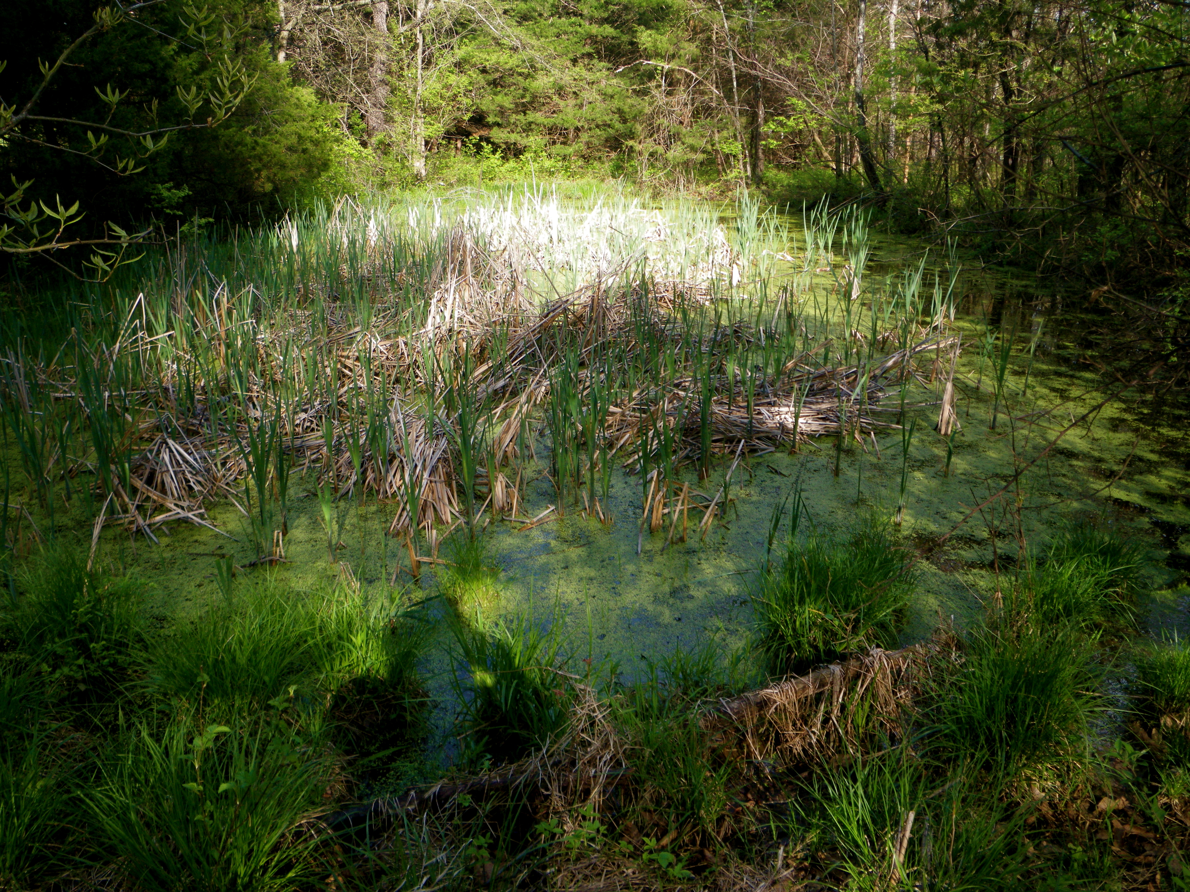
Magical Water IMGP4031

Moonrise ambiance
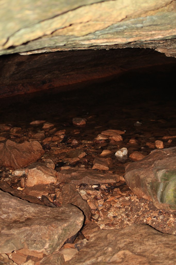
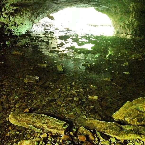
Devil's Icebox Cave

Rock Overlooking Deer Run Trail

Raised trails along the creek
reflective shadow

Where the sun hits the soil, it shines bright red and orange

Baby waterfall and lovely reflections of the green canopy above
Electric Catwalk
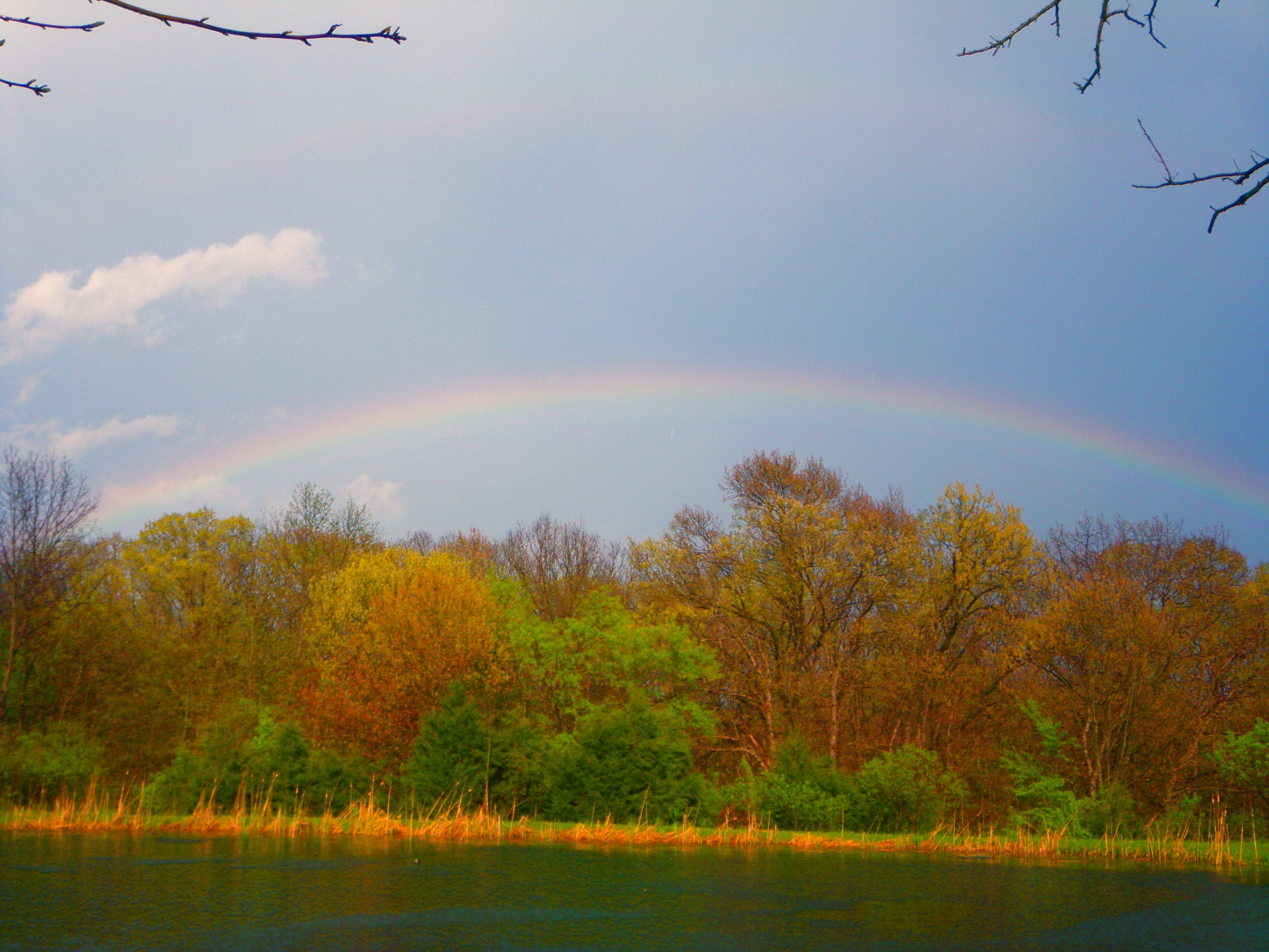
Stormy Sky w/Rainbow

DSCF0032.JPG

DSCF0033.JPG

The Rock Bridge
Locust Tree
Looking back on the path of skipped wet stones
Topographic Map of Three Creeks Township, MO, USA
Find elevation by address:

Places in Three Creeks Township, MO, USA:
Places near Three Creeks Township, MO, USA:
E Deer Park Rd, Columbia, MO, USA
Ashland
808 Silverado
Ashland, MO, USA
2261 E Bluebird Ln
1607 E Fox Hollow Rd
Cedar Township
South Bearfield Road
West Nashville Church Road
4126 Juniper Pl
1630 E Cedar Tree Ln
Missouri N, Columbia, MO, USA
State Hwy Ac & Old 63 S & Old U.s. 63
State Hwy Ac & S Bearfield Rd
7701 Chimney Ridge Rd
5688 S Bethel Church Rd #5678
Las Margaritas Columbia
Sophia's
615 Dustin Dr
E Stadium Blvd & Old 63 S
Recent Searches:
- Elevation of Corso Fratelli Cairoli, 35, Macerata MC, Italy
- Elevation of Tallevast Rd, Sarasota, FL, USA
- Elevation of 4th St E, Sonoma, CA, USA
- Elevation of Black Hollow Rd, Pennsdale, PA, USA
- Elevation of Oakland Ave, Williamsport, PA, USA
- Elevation of Pedrógão Grande, Portugal
- Elevation of Klee Dr, Martinsburg, WV, USA
- Elevation of Via Roma, Pieranica CR, Italy
- Elevation of Tavkvetili Mountain, Georgia
- Elevation of Hartfords Bluff Cir, Mt Pleasant, SC, USA