Elevation of Shiloh Church Road, Delta, AL, USA
Location: United States > Alabama > Delta >
Longitude: -85.661357
Latitude: 33.4390353
Elevation: 271m / 889feet
Barometric Pressure: 98KPa
Elevation Map:
Satellite Map:
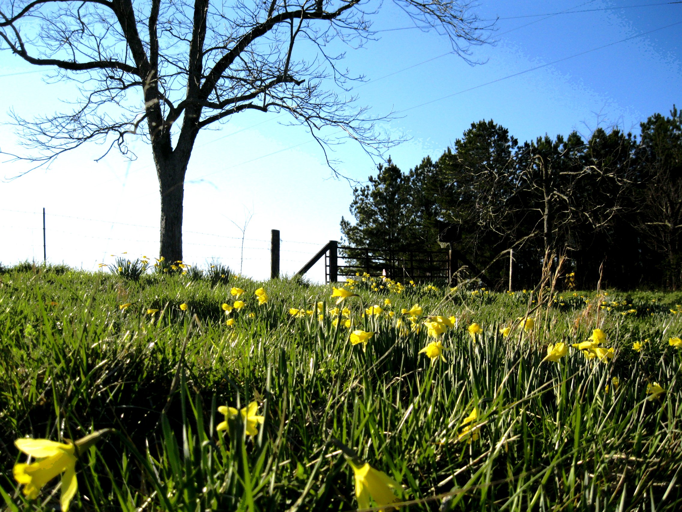
Related Photos:
every picture tells a story

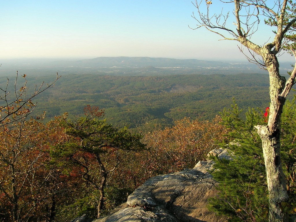
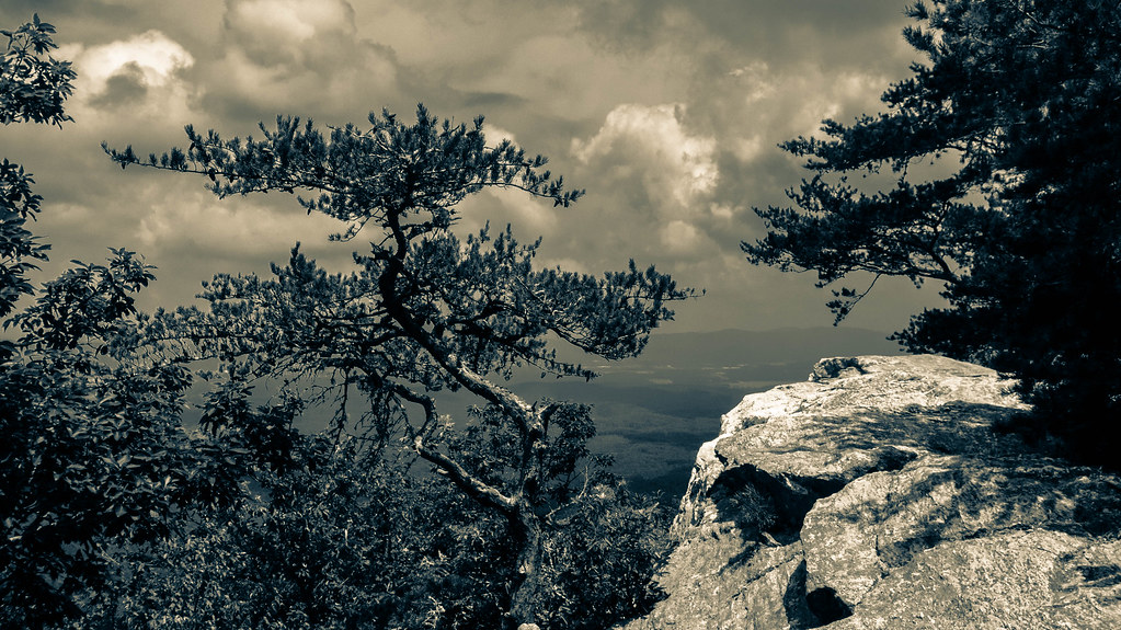
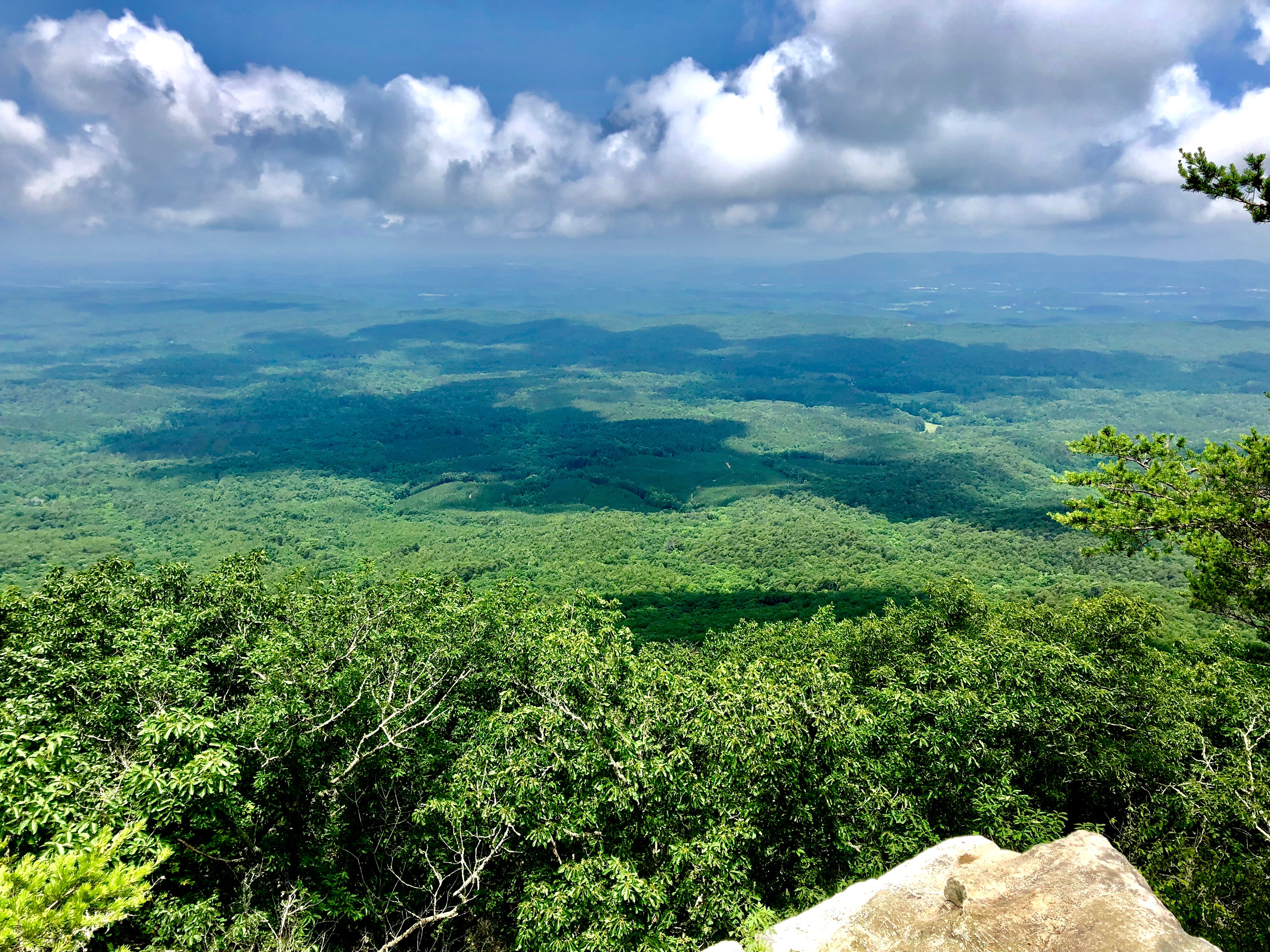
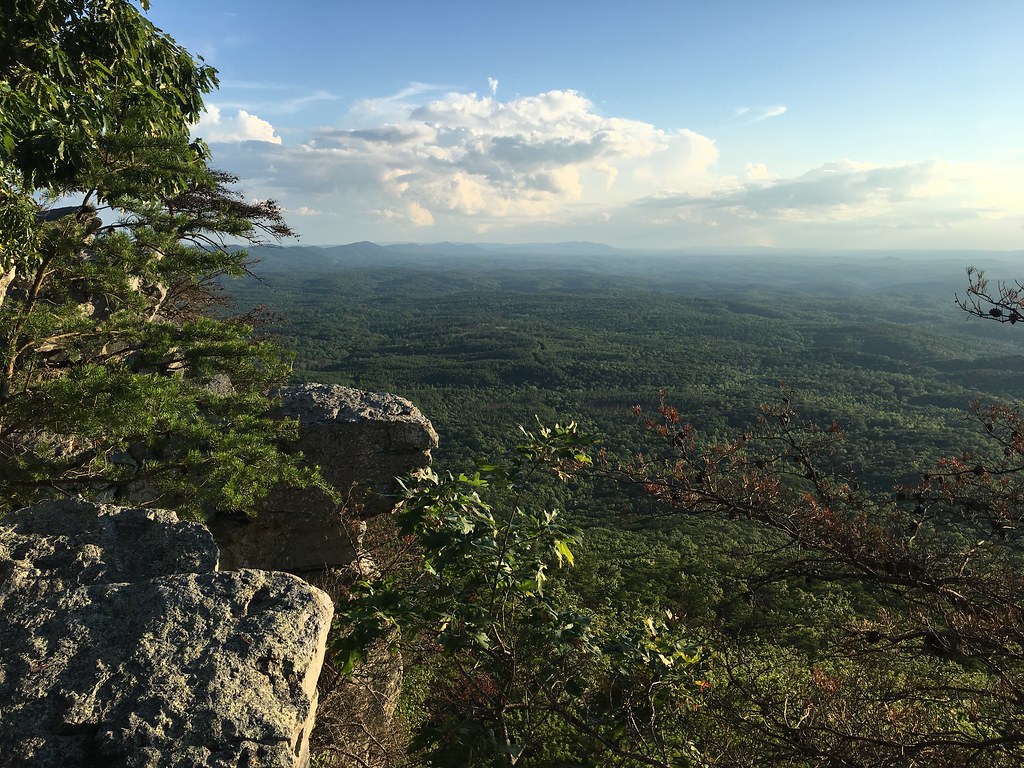
View from Pulpit Rock
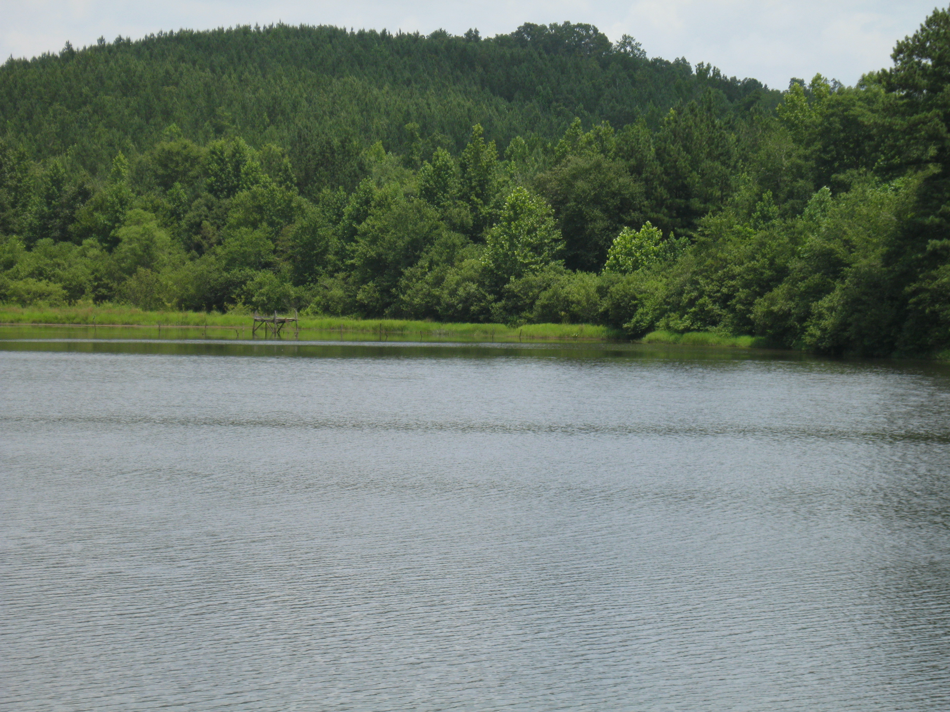
center hill lake, closed to the public/"every world"
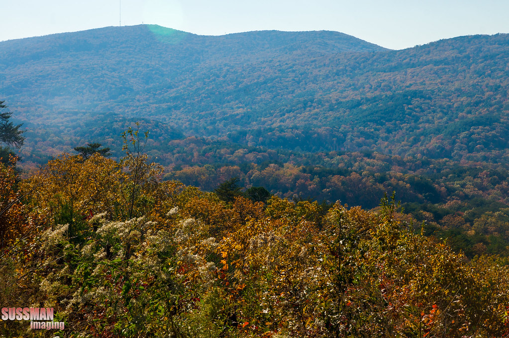
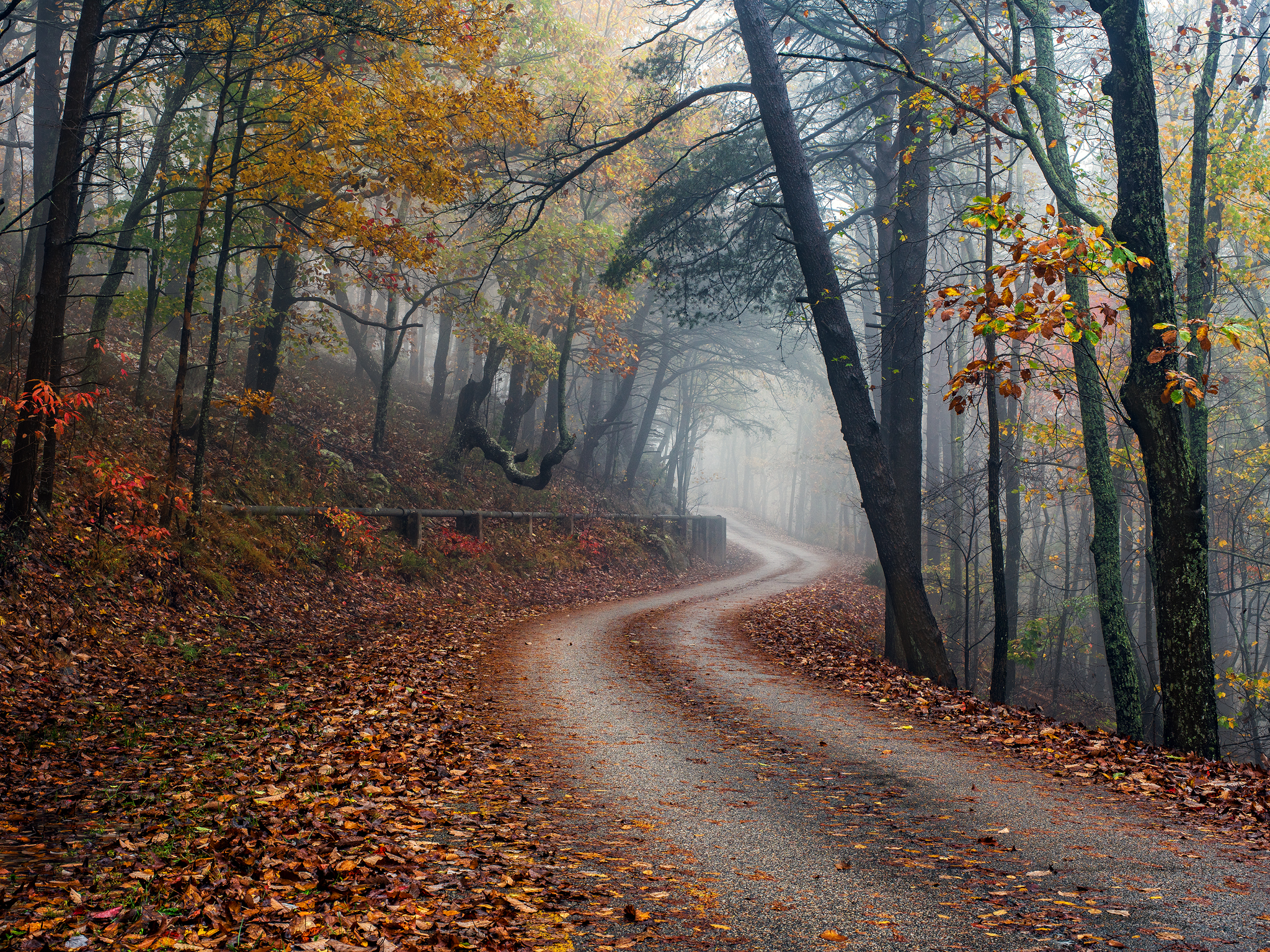
Road to Cheaha Mountain Alabama
Mountain Top Sunset

photo #18

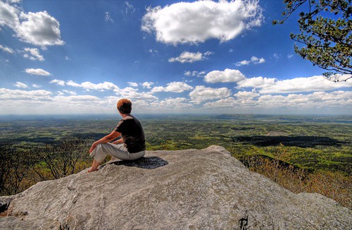
View from Bald Rock
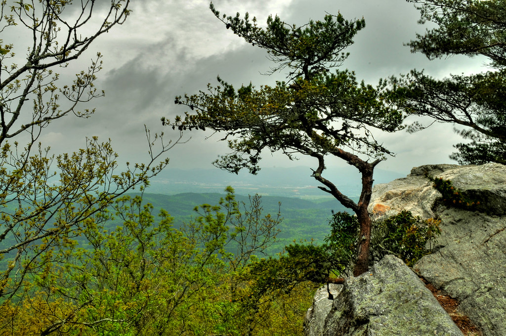
Bald Rock
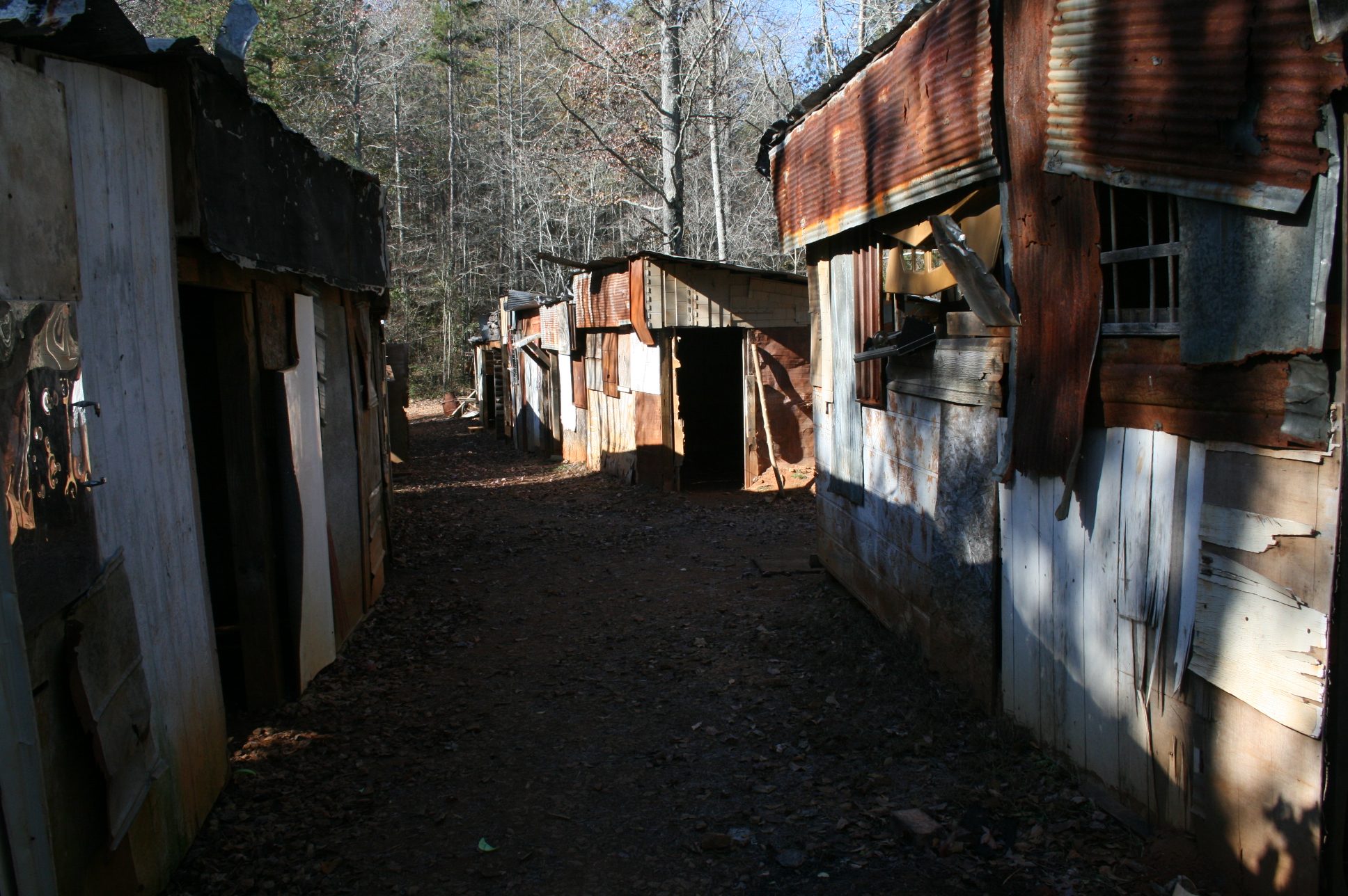
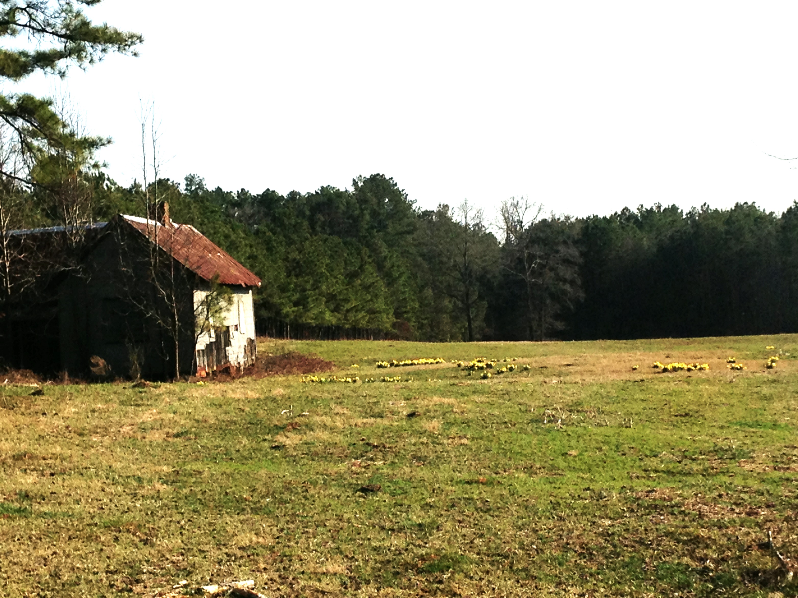
Shanty town scene

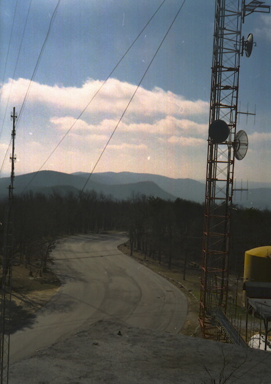
Cheaha Mountain
Cheaha Mountain, Cleburne County (Ala.), 28 December 1999

Cheaha Mountain
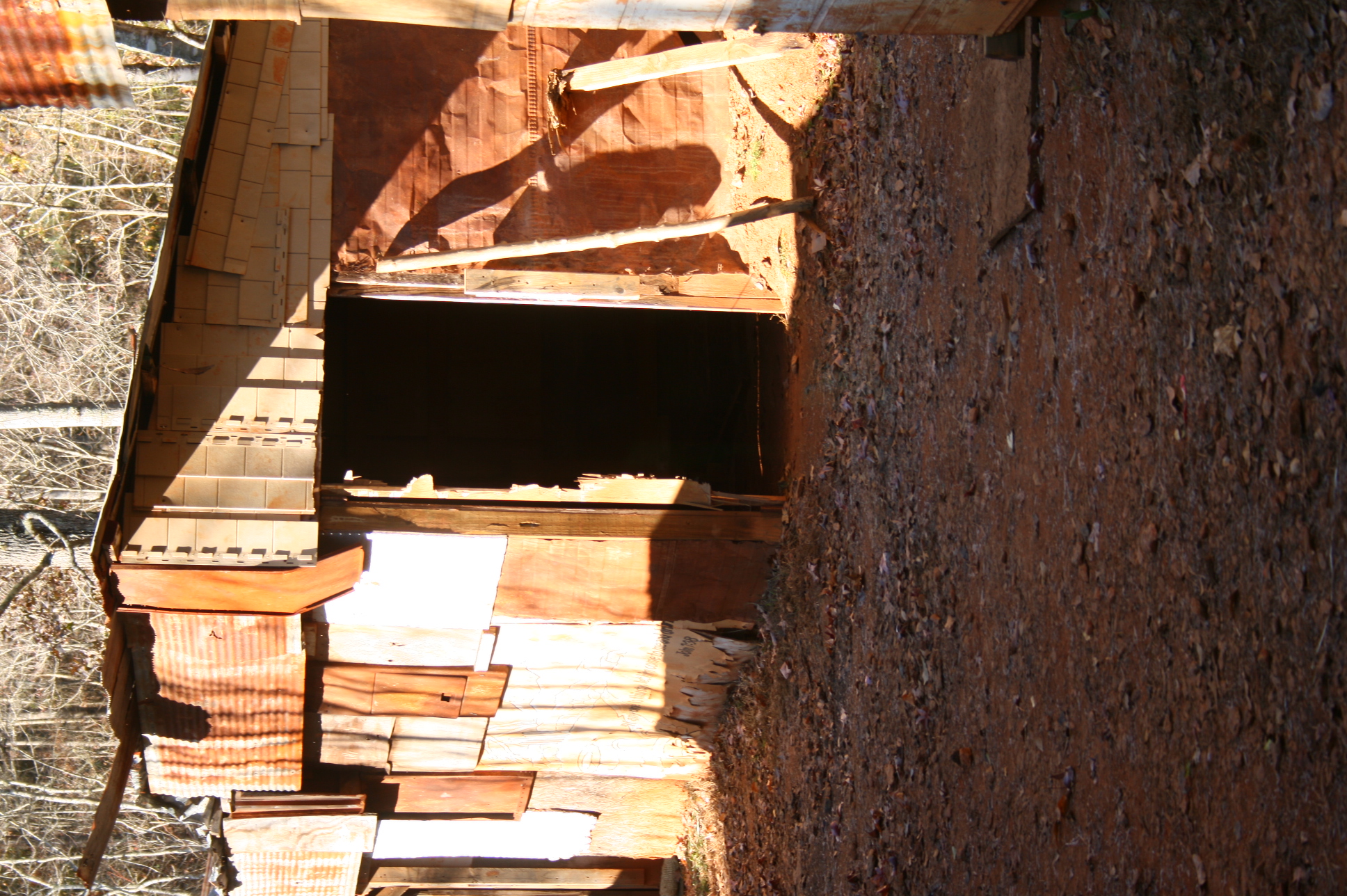
Shanty town scene
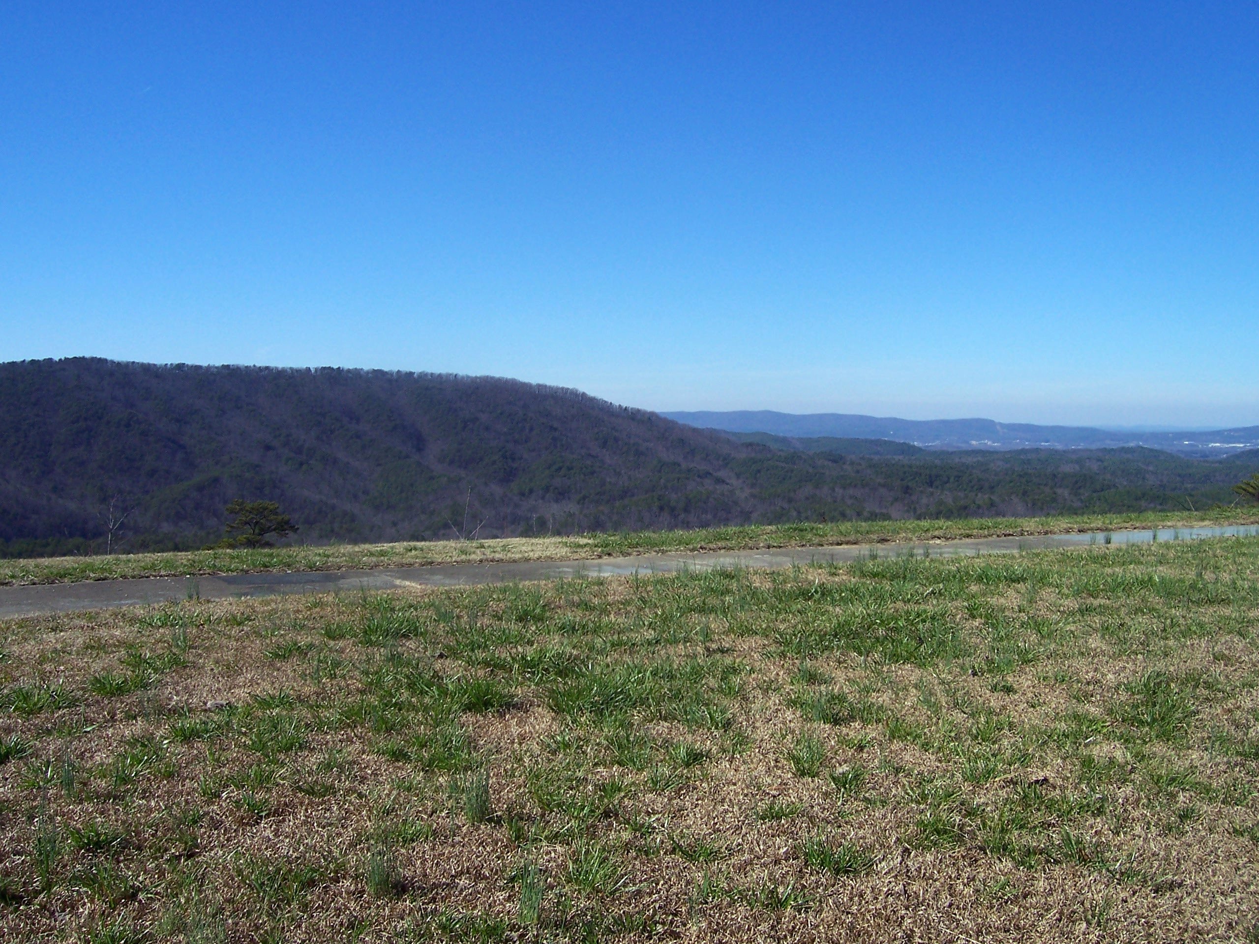
Mountain view
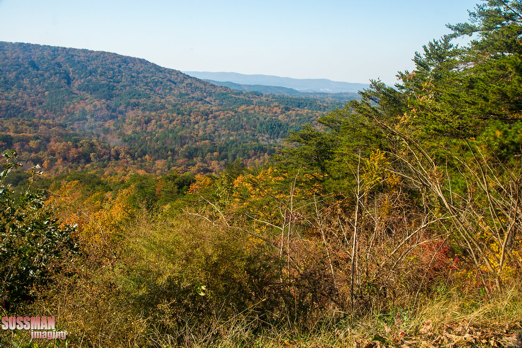
View from Cheaha State Park

Bald Rock Trail

Cheaha Mountain

Pulpit Rock Trail

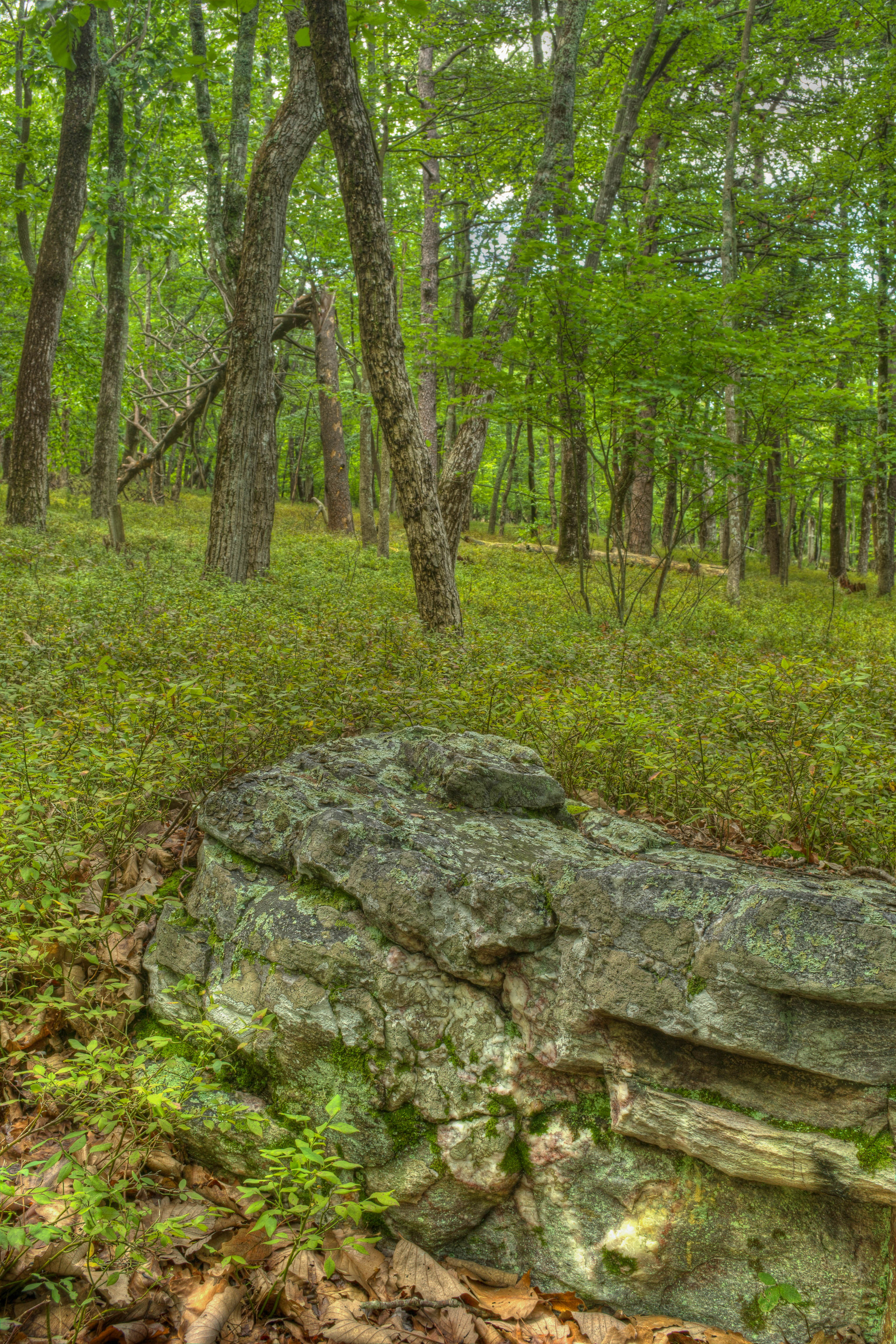
Forest near Cheaha Mountain
Bald ROck view
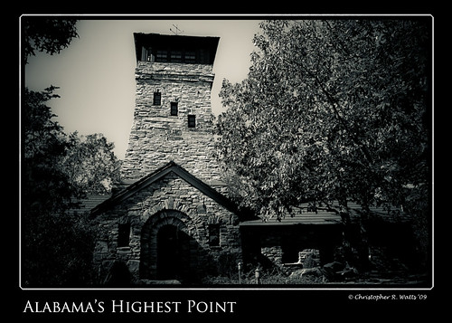
Alabama's Highest Point

Natural bonzai -2-
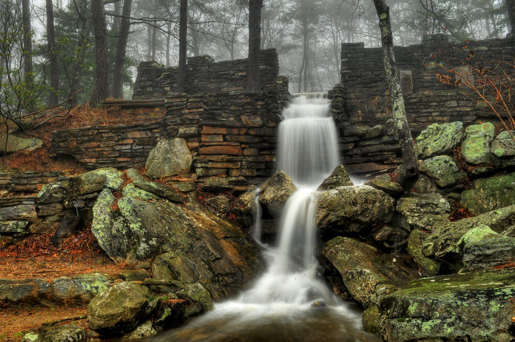
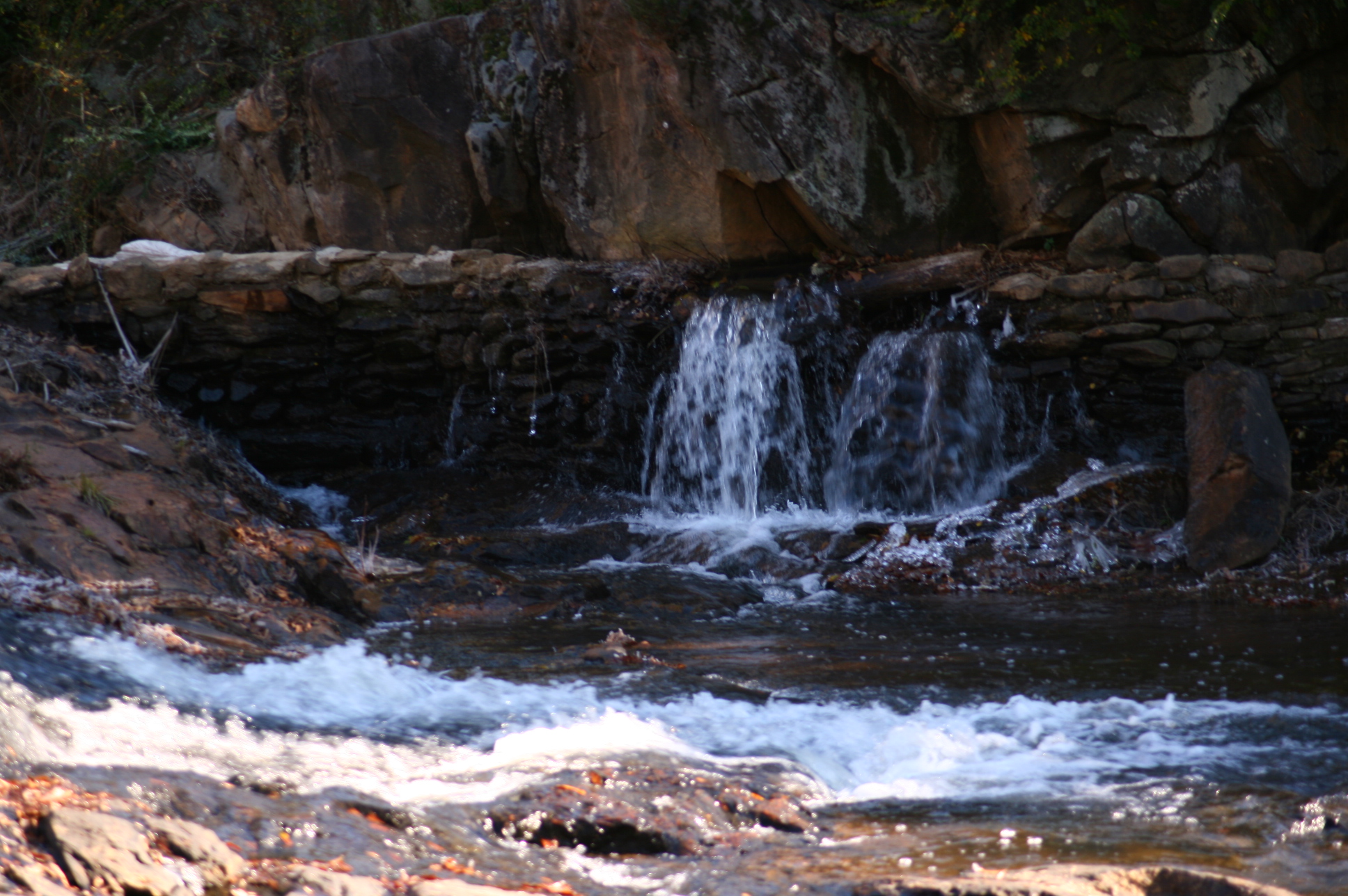
Cheaha Waterfall
Bald Rock (I)
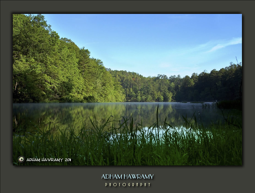
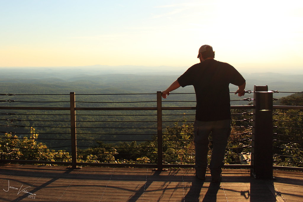
A Cool Morning At Cheaha State Park, AL
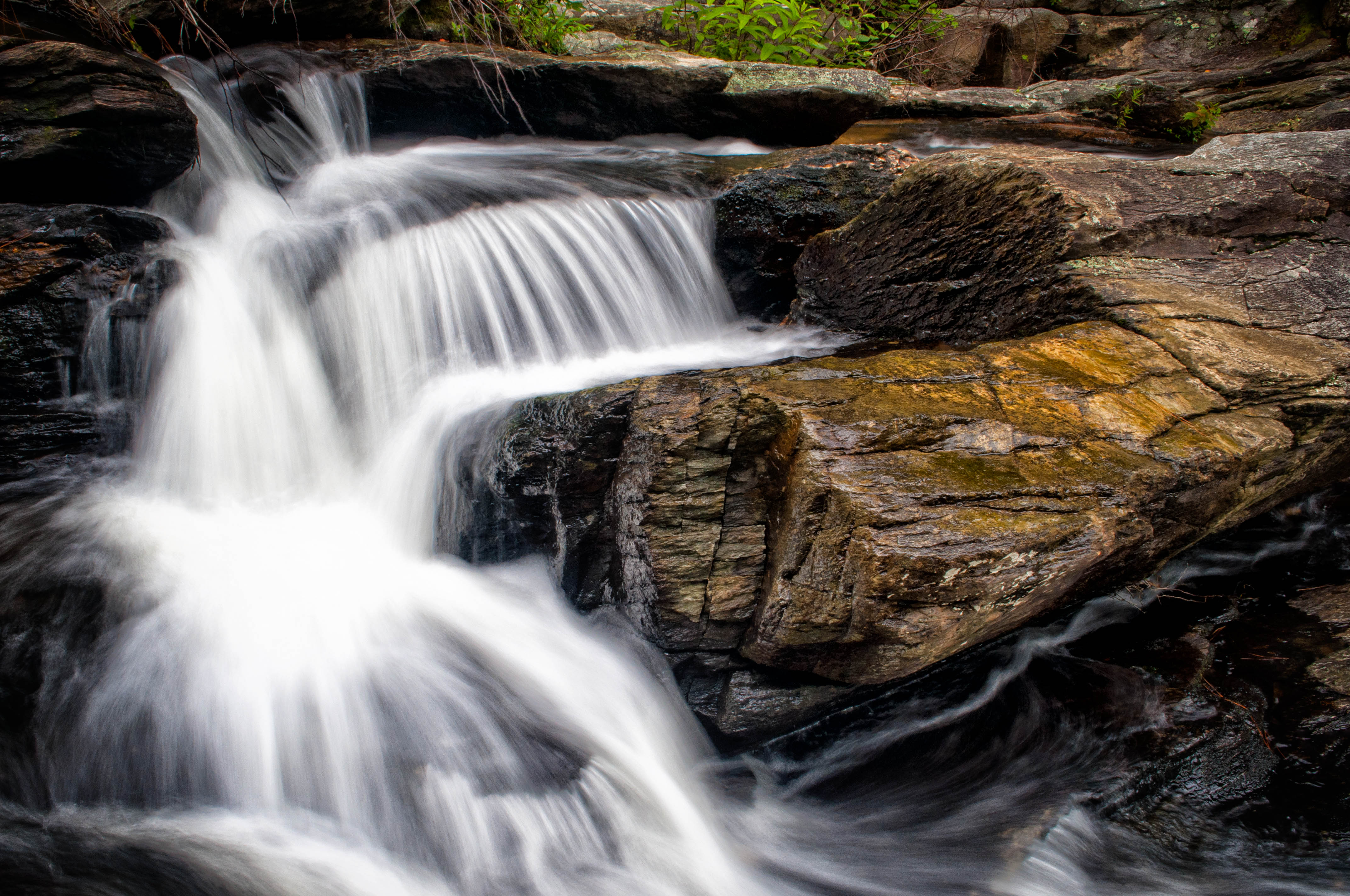
Above Cheaha Falls
always, for you, home

Canopy of fall colors
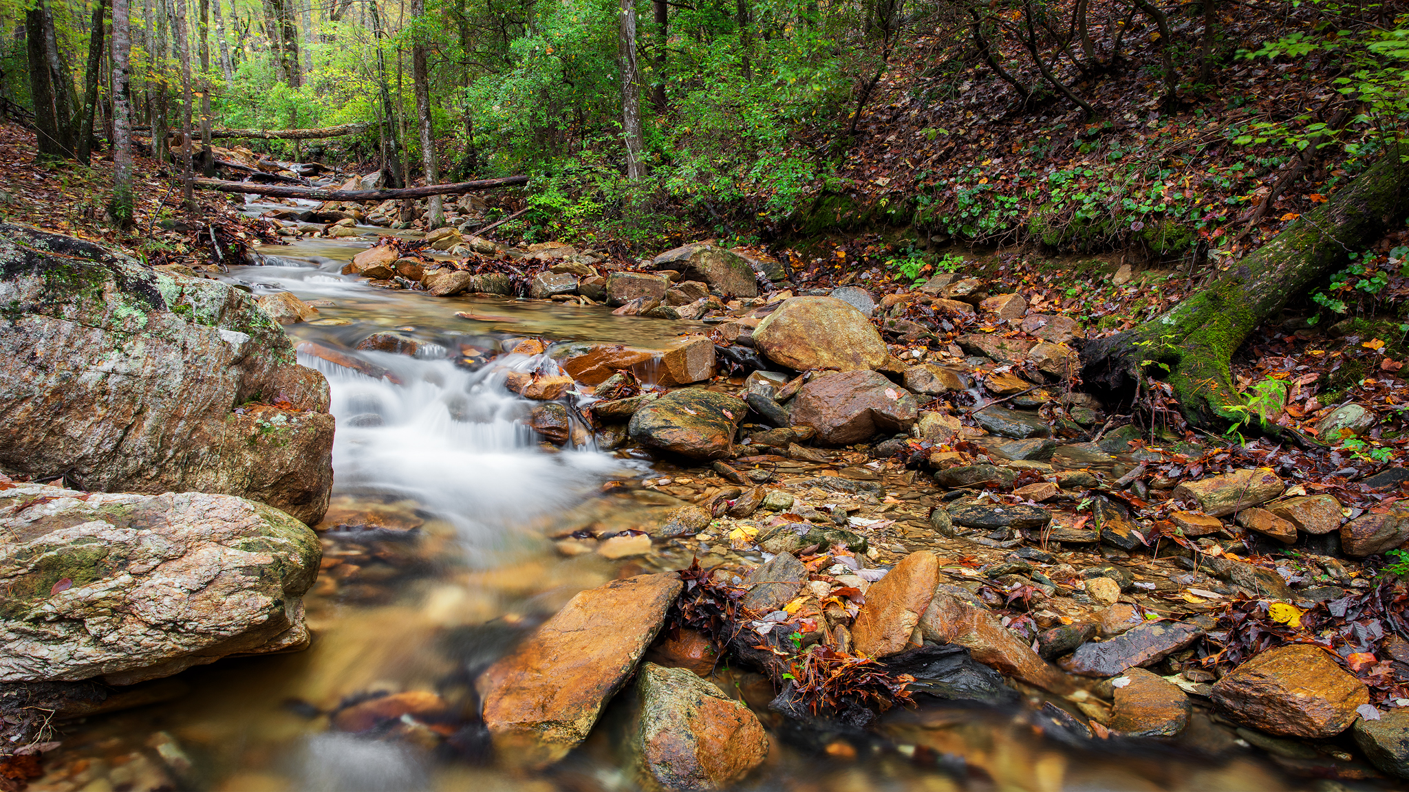
Mountain Stream
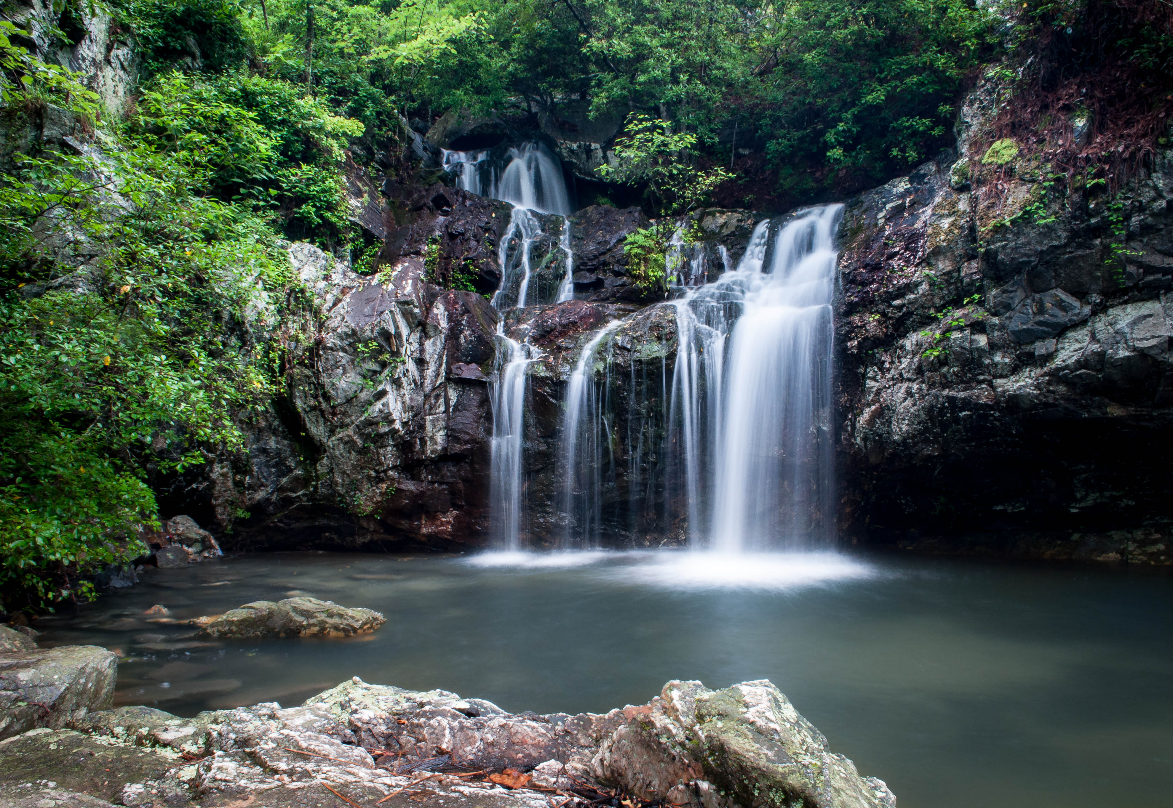
HighFalls-56

Mt. Cheaha Sunset
From Cheaha Mountain, Alabama
Cheaha in Autumn
Rock HDR
The View from Cheaha Mountain
Mad Indian Creek
Pulpit Rock, Cheaha State Park, Alabama
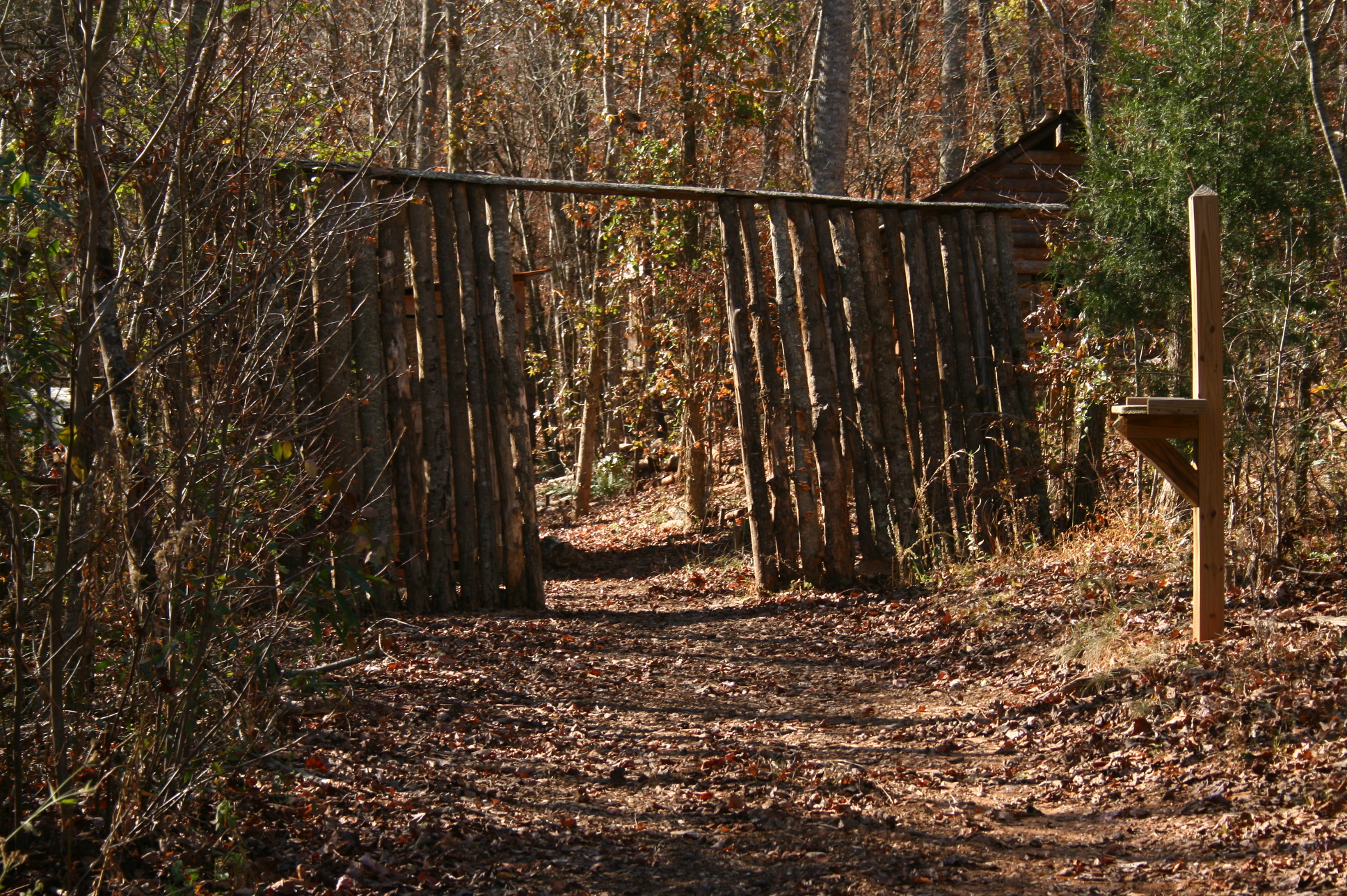
Entrance to village
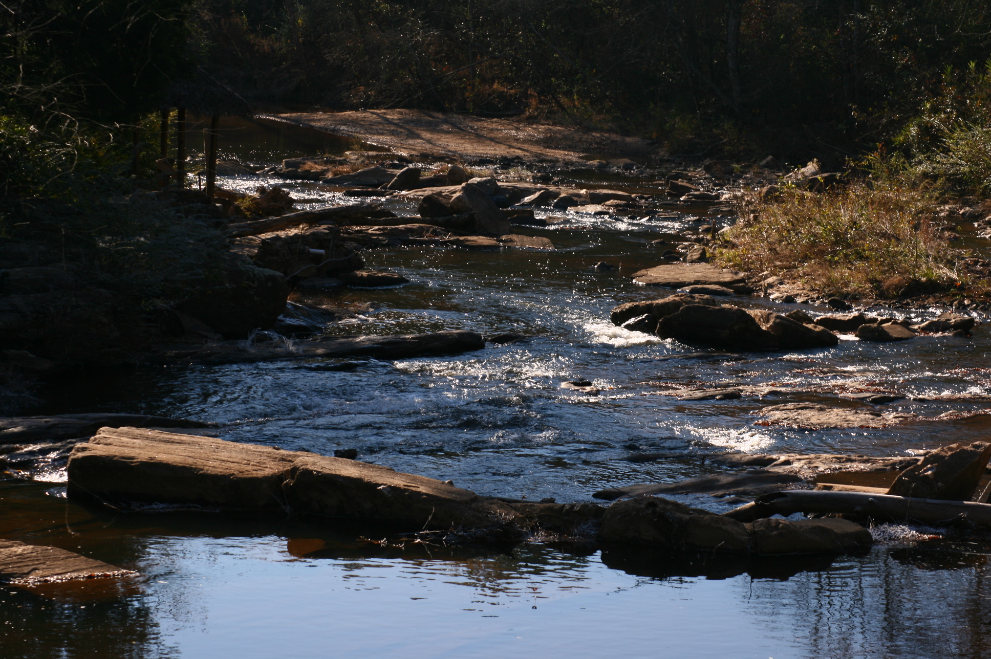
Mad Indian Creek
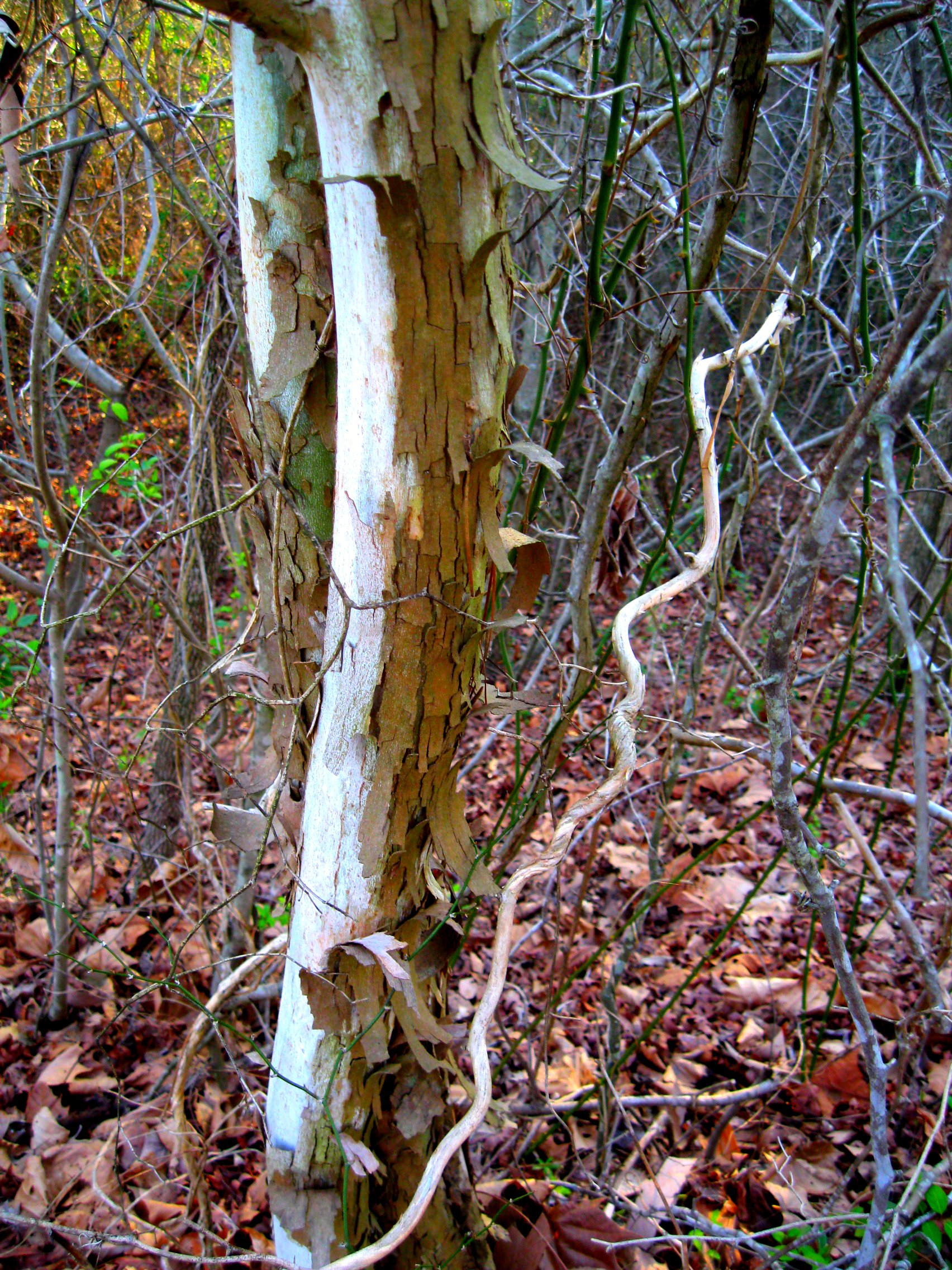
sycamores doing their sycamorish thing

God is smiling
Topographic Map of Shiloh Church Road, Delta, AL, USA
Find elevation by address:

Places near Shiloh Church Road, Delta, AL, USA:
383 Shiloh Church Road
383 Shiloh Church Road
Delta
AL-9, Lineville, AL, USA
3893 Co Rd 11
1015 Prairie Creek Rd
County Road 13
41 Co Rd 406
Lineville
AL-9, Lineville, AL, USA
Co Rd 13, Heflin, AL, USA
7841 Old U.s. 431
16 Boiling Springs Rd, Oxford, AL, USA
2388 Co Rd 129
2388 Co Rd 129
Dearmanville Dr S, Anniston, AL, USA
45 AL-, Heflin, AL, USA
Us-78 & Town Creek Rd
1429 Co Rd 80
Wedowee
Recent Searches:
- Elevation of Shibuya Scramble Crossing, 21 Udagawacho, Shibuya City, Tokyo -, Japan
- Elevation of Jadagoniai, Kaunas District Municipality, Lithuania
- Elevation of Pagonija rock, Kranto 7-oji g. 8"N, Kaunas, Lithuania
- Elevation of Co Rd 87, Jamestown, CO, USA
- Elevation of Tenjo, Cundinamarca, Colombia
- Elevation of Côte-des-Neiges, Montreal, QC H4A 3J6, Canada
- Elevation of Bobcat Dr, Helena, MT, USA
- Elevation of Zu den Ihlowbergen, Althüttendorf, Germany
- Elevation of Badaber, Peshawar, Khyber Pakhtunkhwa, Pakistan
- Elevation of SE Heron Loop, Lincoln City, OR, USA