Elevation of Lineville, AL, USA
Location: United States > Alabama > Clay County >
Longitude: -85.754405
Latitude: 33.3106696
Elevation: 323m / 1060feet
Barometric Pressure: 98KPa
Elevation Map:
Satellite Map:
Related Photos:
every picture tells a story

photo #18
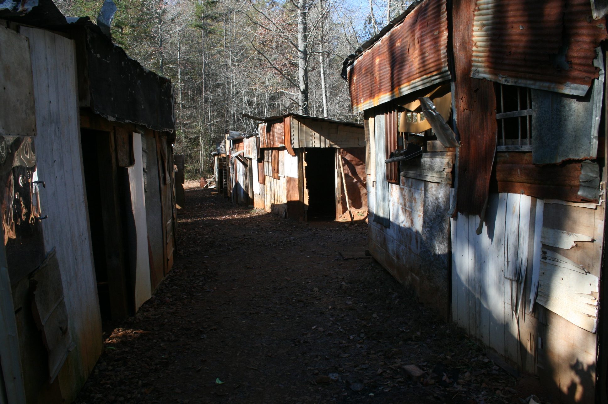
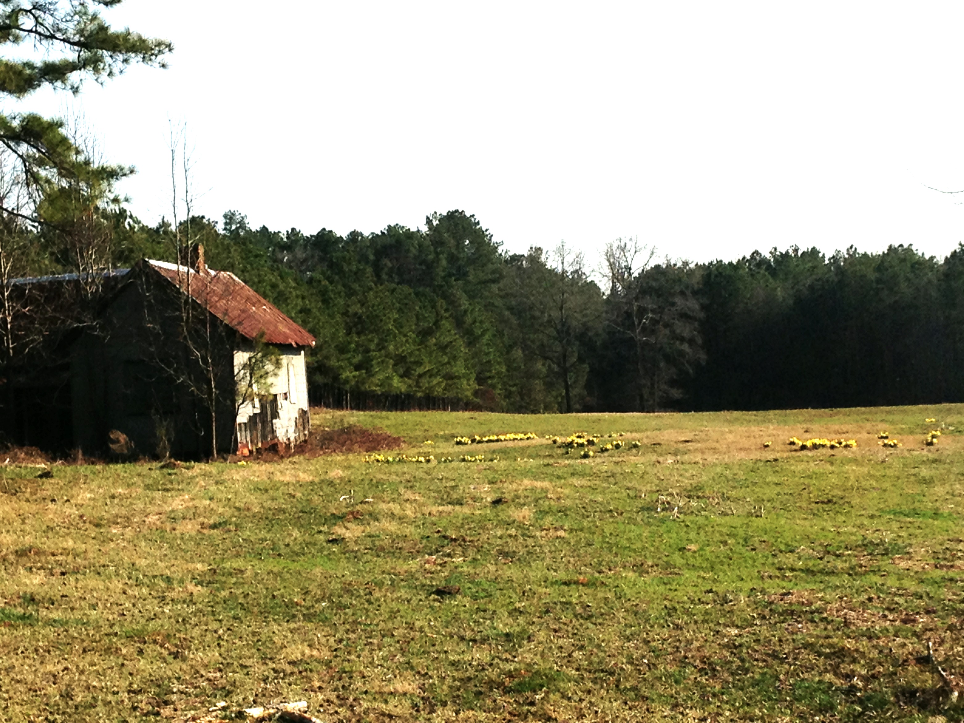
Shanty town scene
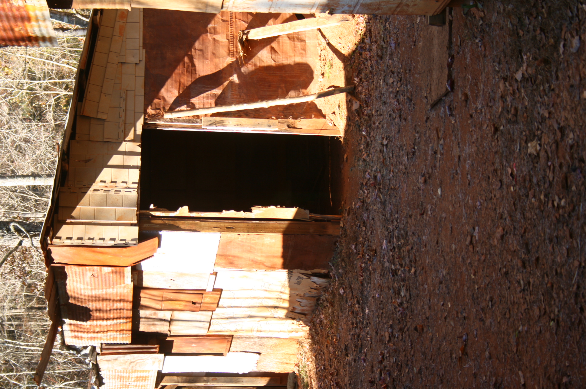
Shanty town scene
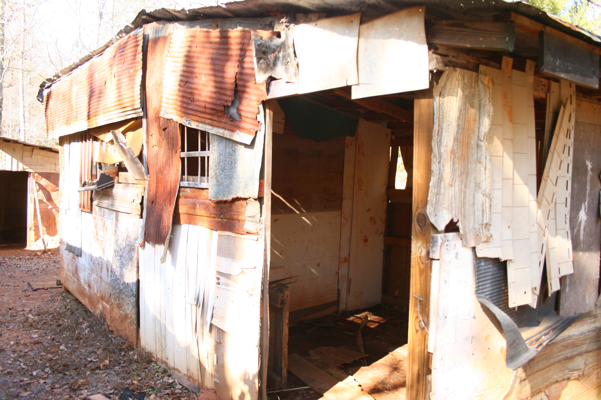
Shanty town scene

photo #39
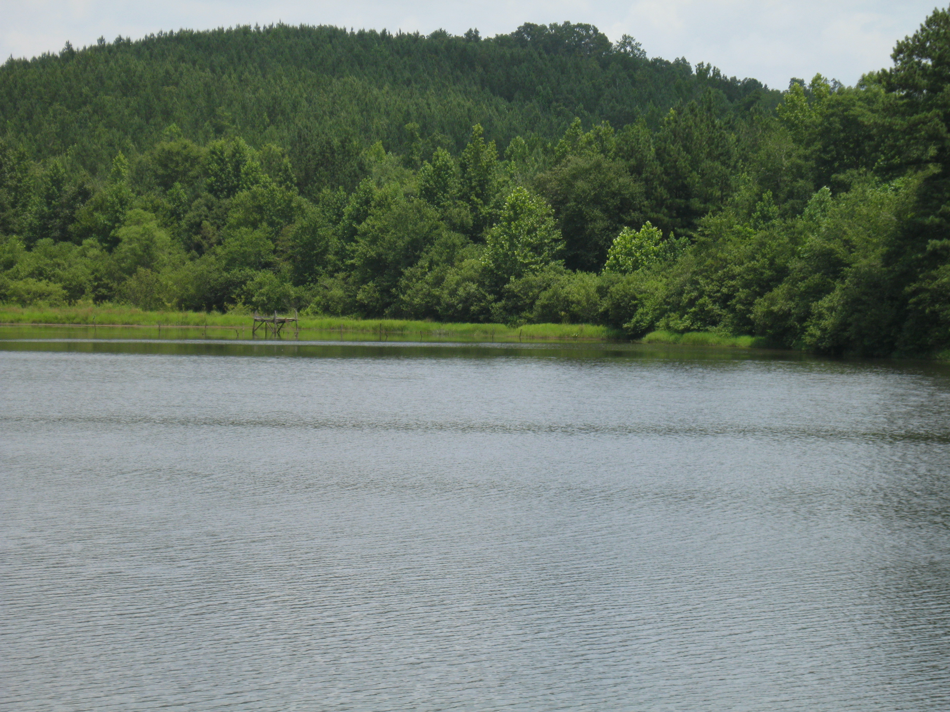
center hill lake, closed to the public/"every world"
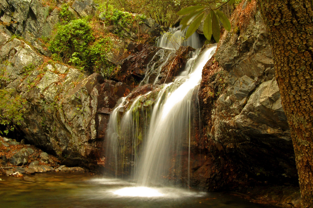
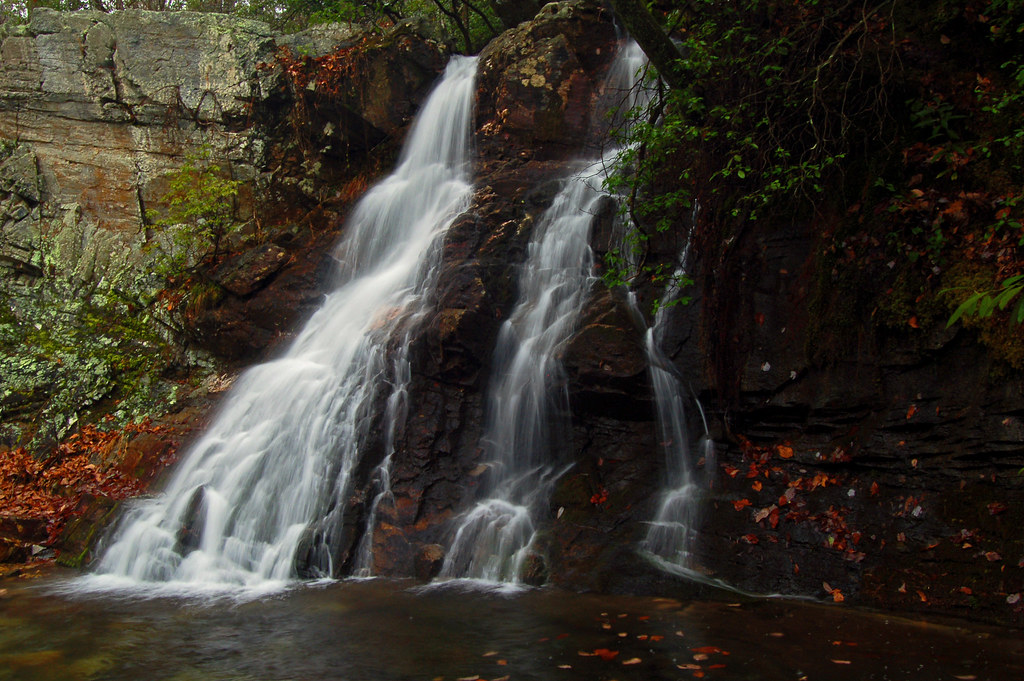
High Falls

Sun Peeks Through
High Falls
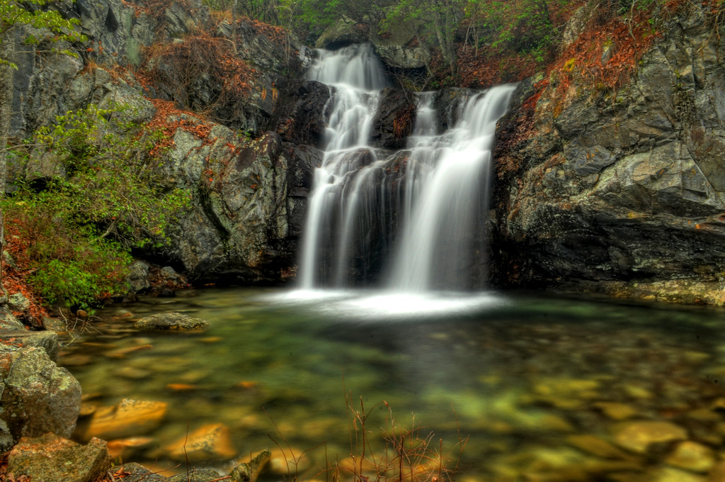
Upper High Falls
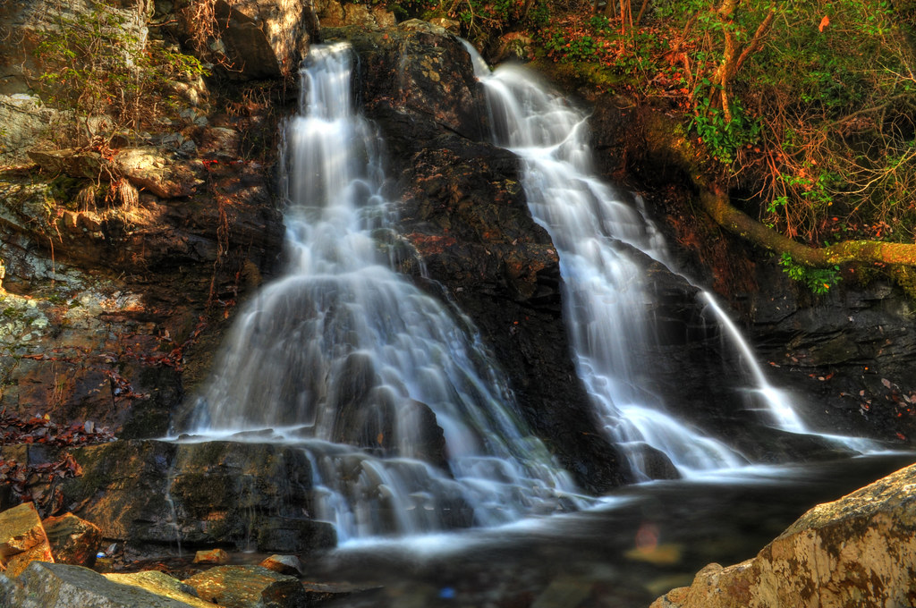
The Twins of High Falls

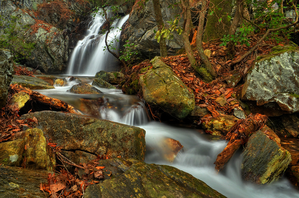
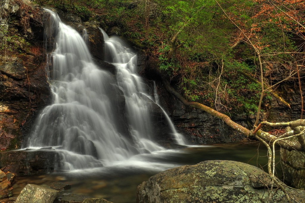
High Falls Cascades
always, for you, home
High falls
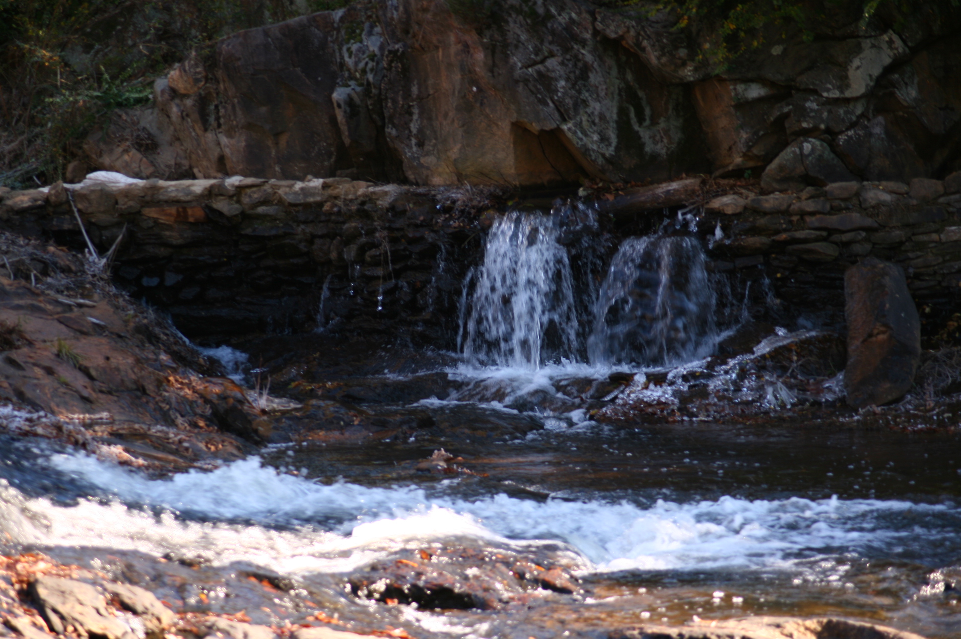
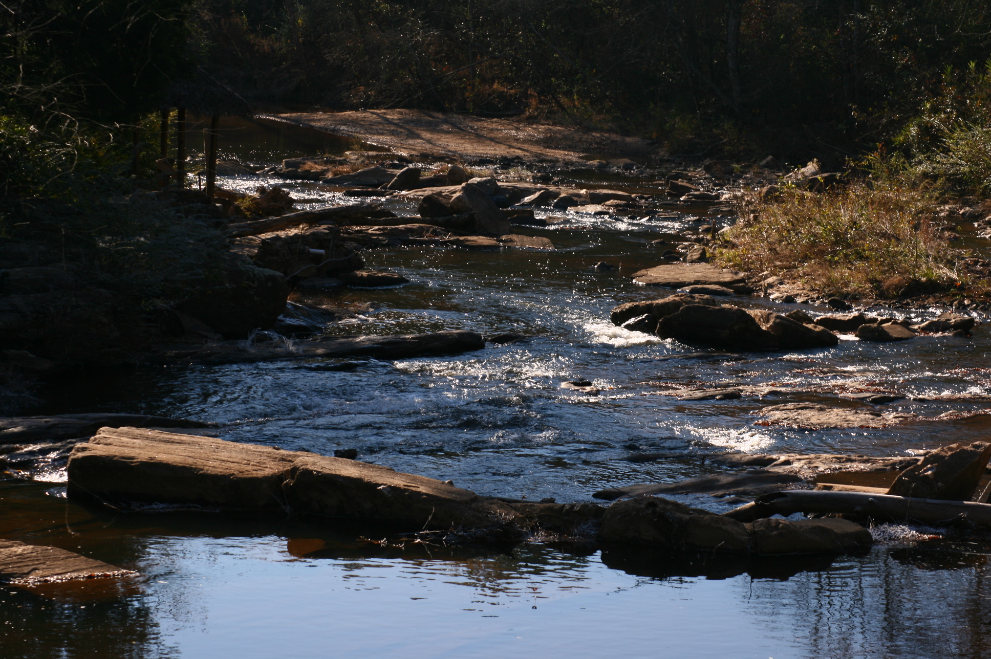
Mad Indian Creek
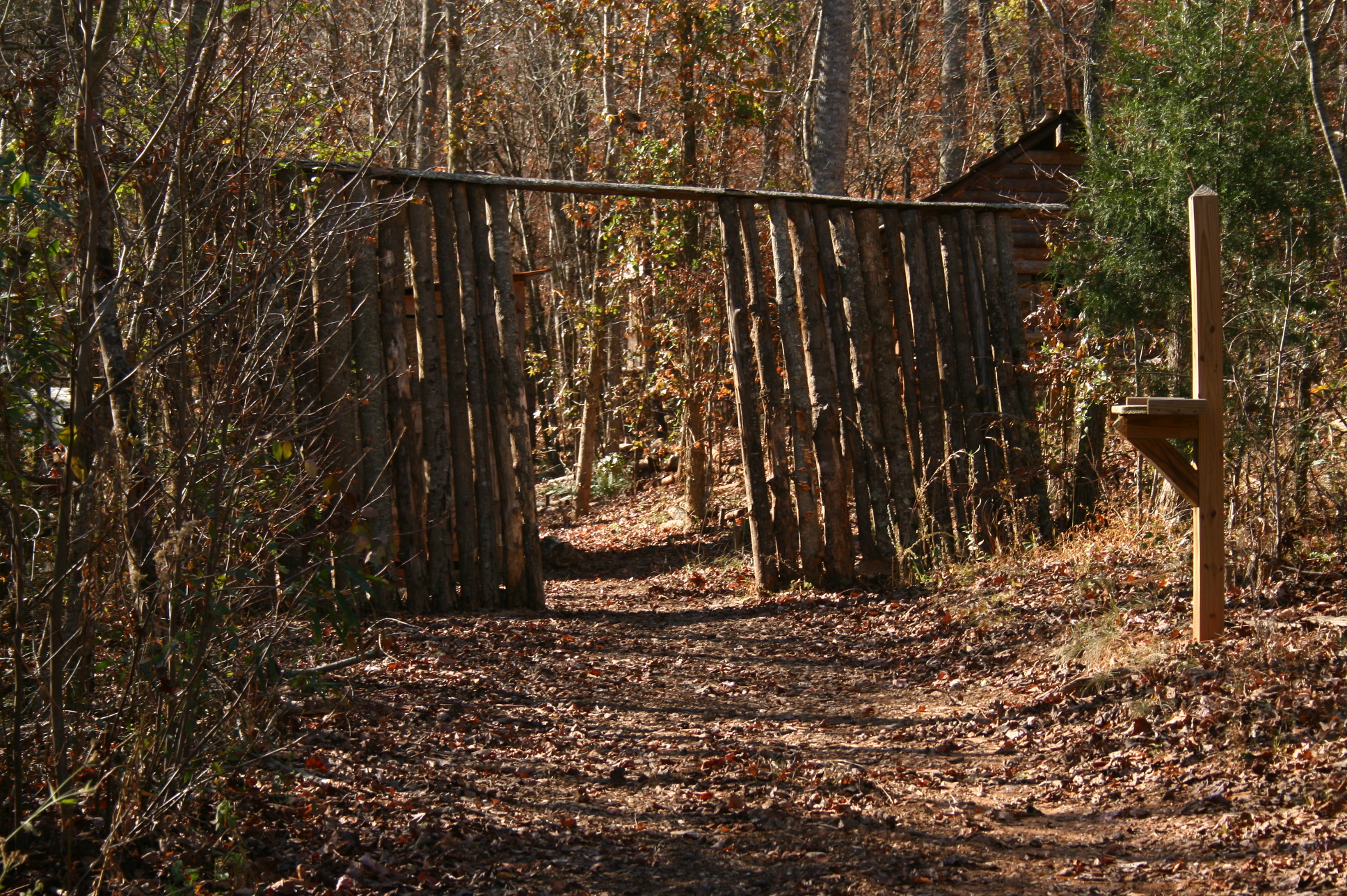
Entrance to village
Mad Indian Creek

High Falls
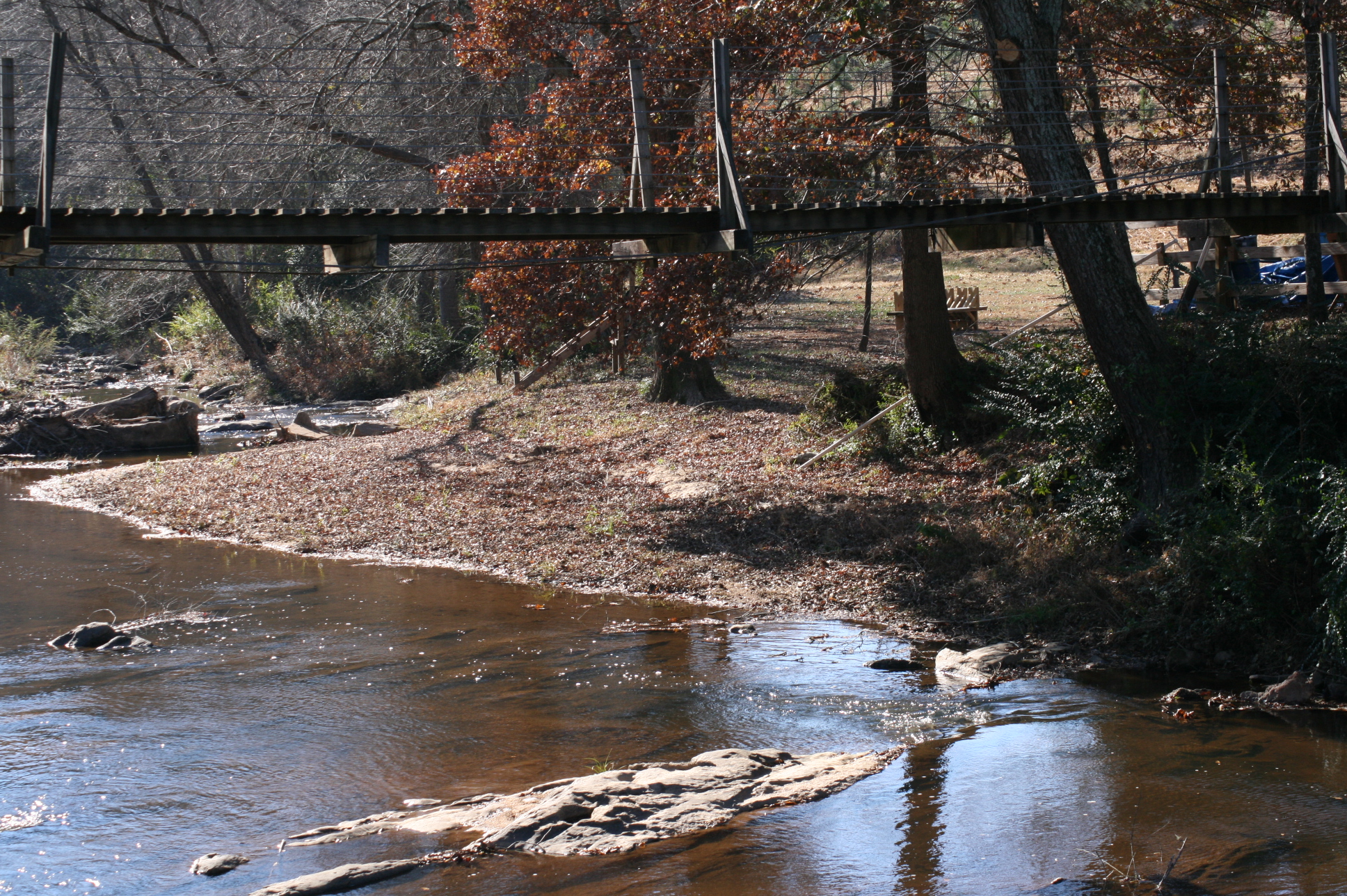
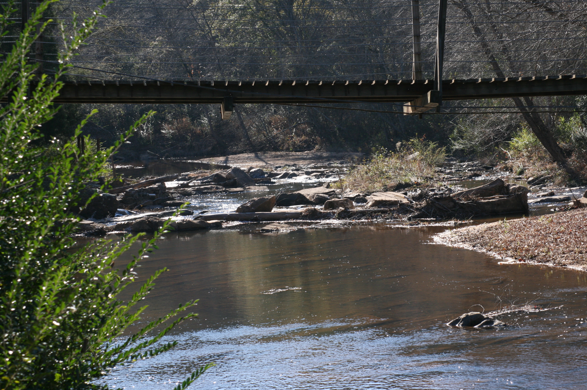
Suspension bridge
Another Perspective
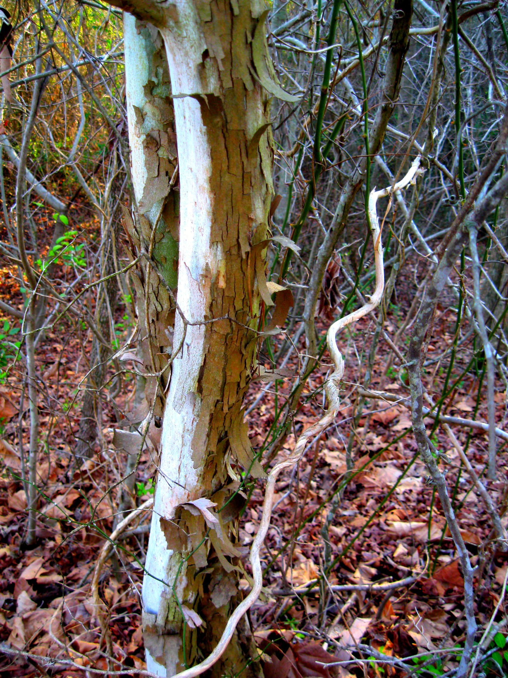
sycamores doing their sycamorish thing
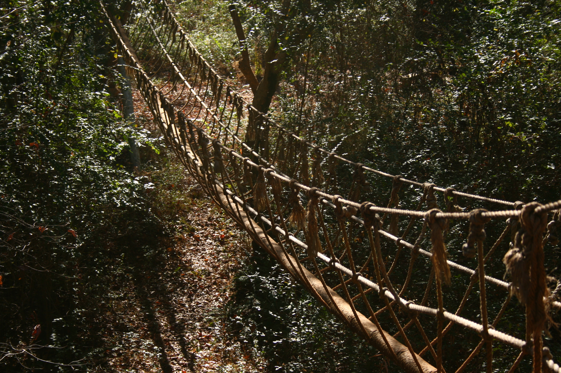
Rope bridge

High Falls Cascades
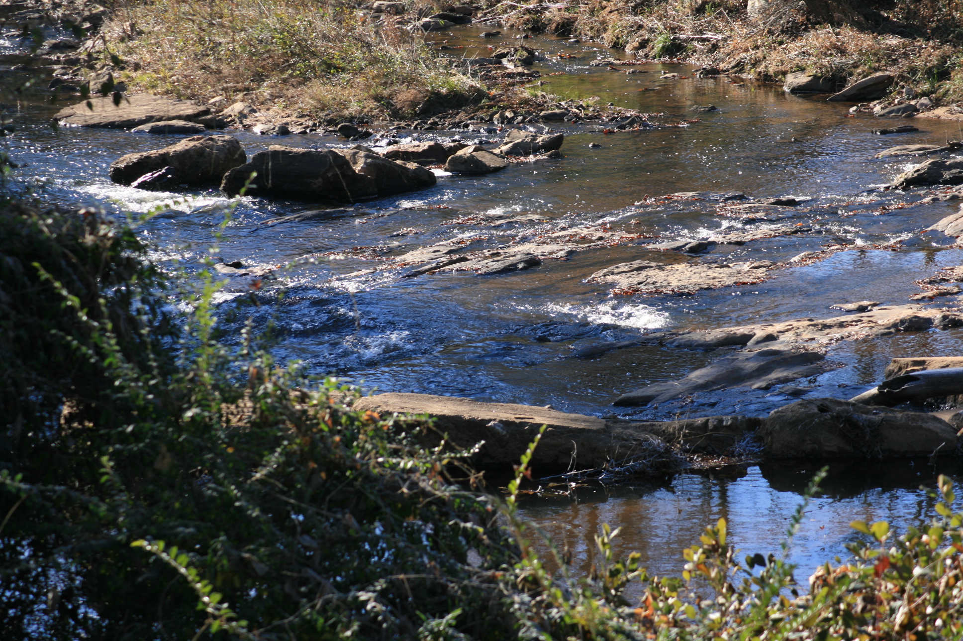
Mad Indian Creek
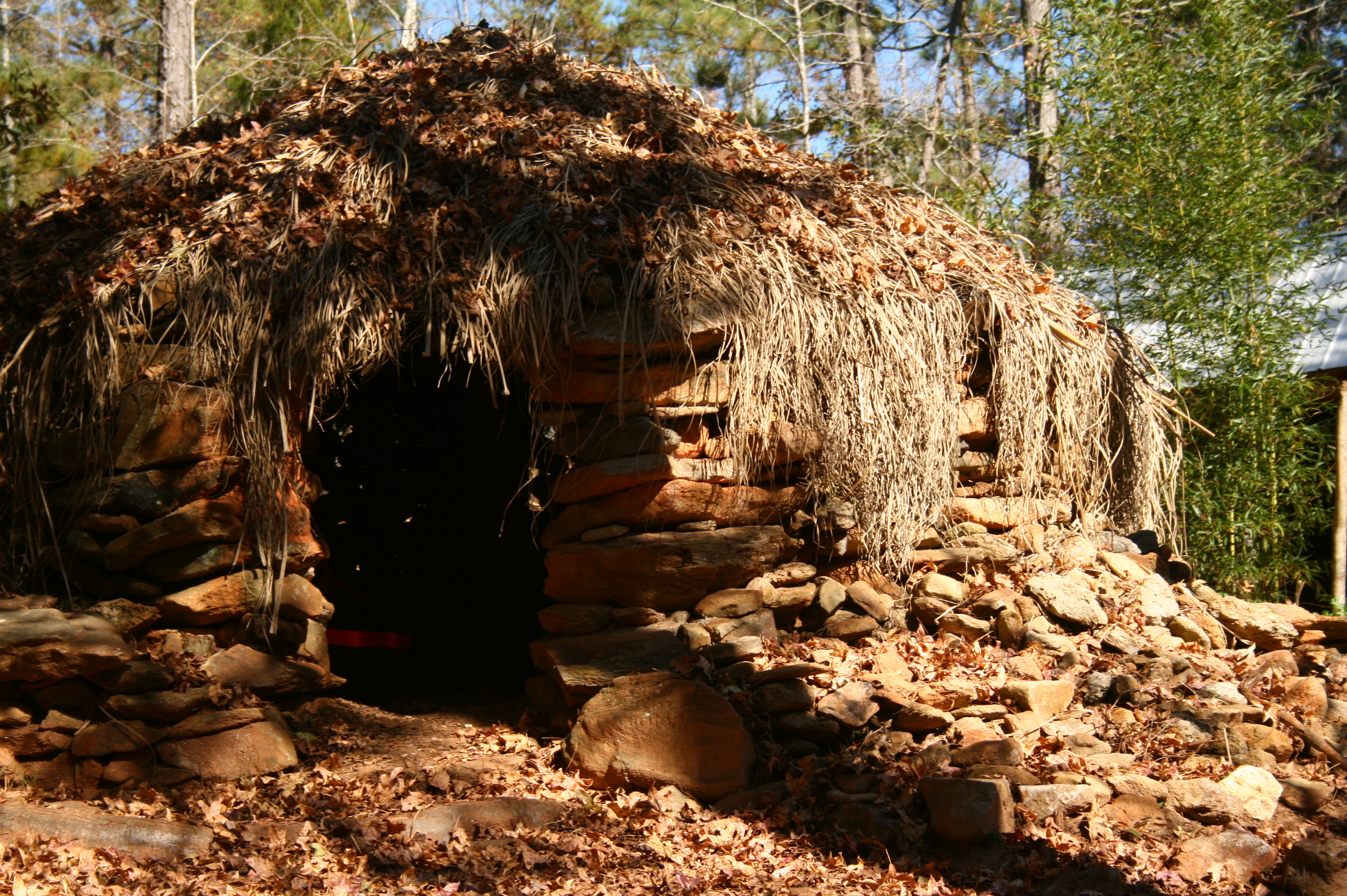
Rock and thatch hut
Suspension bridge
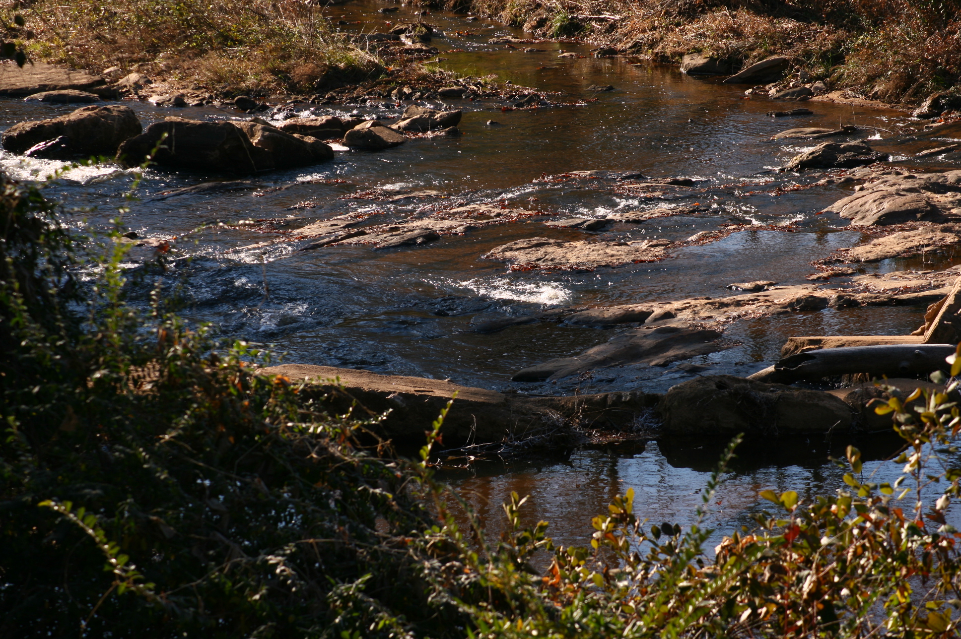
Mad Indian Creek
Topographic Map of Lineville, AL, USA
Find elevation by address:

Places in Lineville, AL, USA:
Places near Lineville, AL, USA:
AL-9, Lineville, AL, USA
1015 Prairie Creek Rd
AL-9, Lineville, AL, USA
383 Shiloh Church Road
383 Shiloh Church Road
Delta
1043 Shiloh Church Road
2099 Co Rd 12
2388 Co Rd 129
2388 Co Rd 129
Randolph County
Simpson Rd, Daviston, AL, USA
3893 Co Rd 11
Co Rd 43, Wadley, AL, USA
Wadley
Wedowee
16 Boiling Springs Rd, Oxford, AL, USA
Daviston
41 Co Rd 406
AL-22, Daviston, AL, USA
Recent Searches:
- Elevation of 12 Hutchinson Woods Dr, Fletcher, NC, USA
- Elevation of Holloway Ave, San Francisco, CA, USA
- Elevation of Norfolk, NY, USA
- Elevation of - San Marcos Pass Rd, Santa Barbara, CA, USA
- Elevation of th Pl SE, Issaquah, WA, USA
- Elevation of 82- D Rd, Captain Cook, HI, USA
- Elevation of Harlow CM20 2PR, UK
- Elevation of Shenyang Agricultural University, Dong Ling Lu, Shen He Qu, Shen Yang Shi, Liao Ning Sheng, China
- Elevation of Alpha Dr, Melbourne, FL, USA
- Elevation of Hiroshima University, 1-chōme-3-2 Kagamiyama, Higashihiroshima, Hiroshima -, Japan