Elevation of Co Rd, Wedowee, AL, USA
Location: United States > Alabama > Randolph County > Wedowee >
Longitude: -85.521359
Latitude: 33.3197597
Elevation: 301m / 988feet
Barometric Pressure: 98KPa
Elevation Map:
Satellite Map:
Related Photos:
every picture tells a story
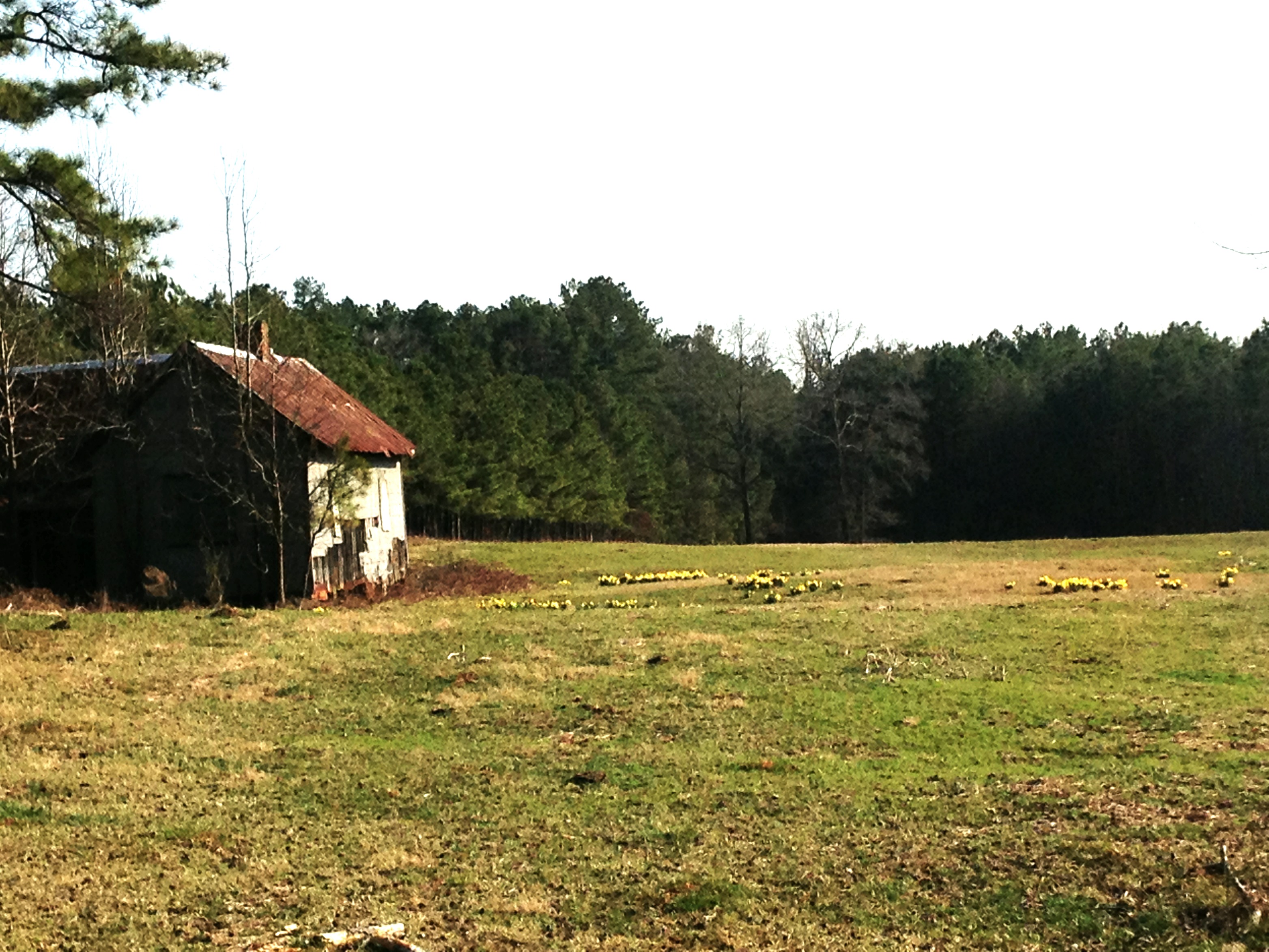
Shanty town scene
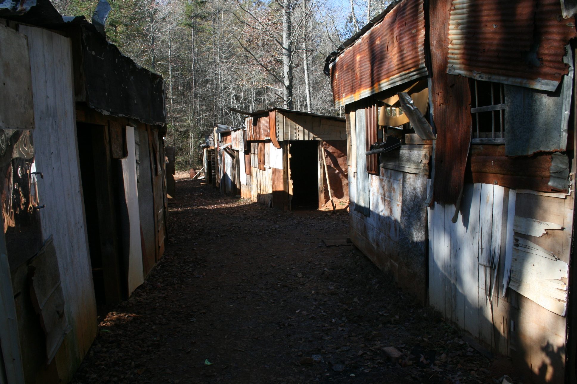
Shanty town scene
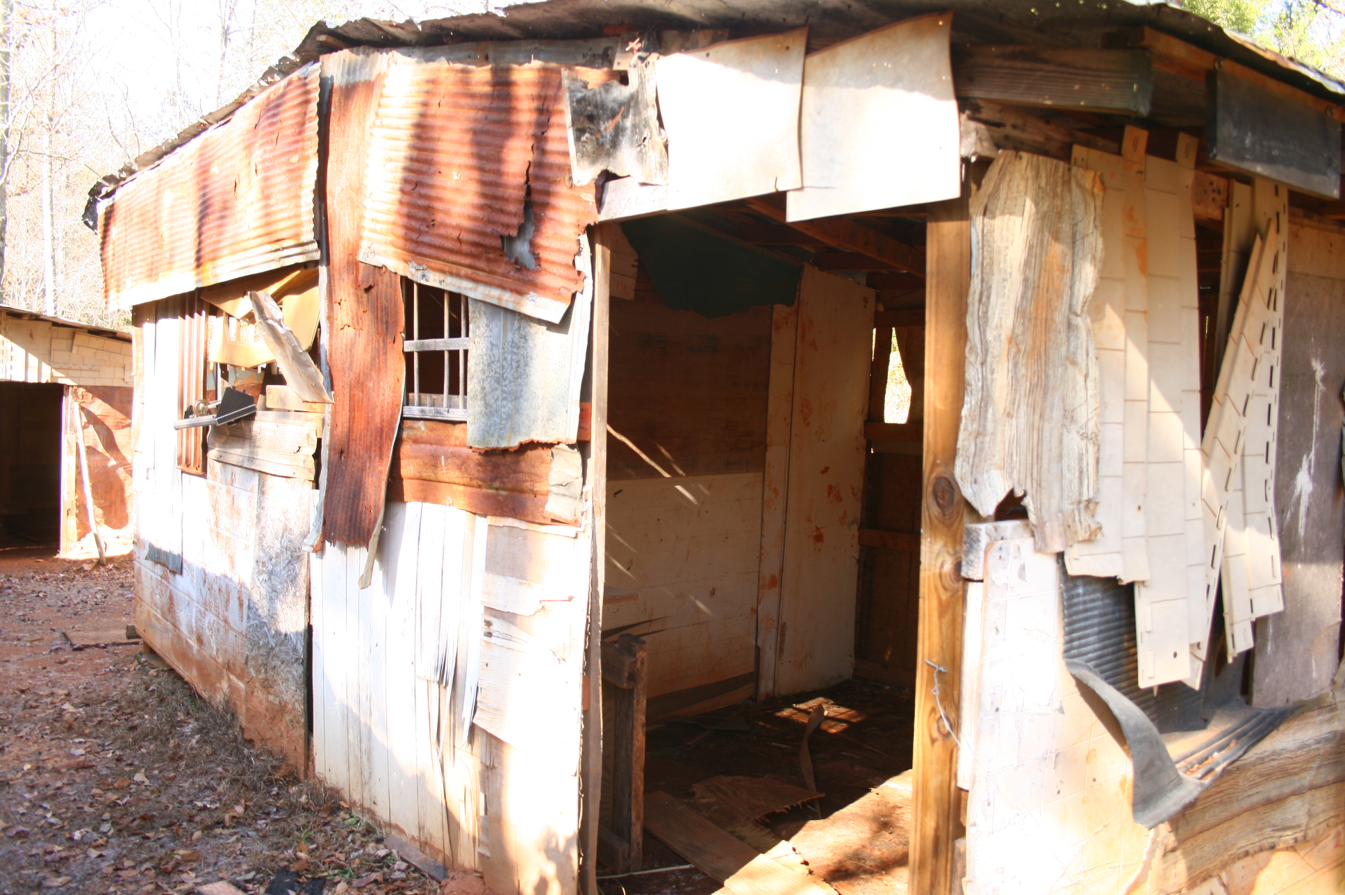
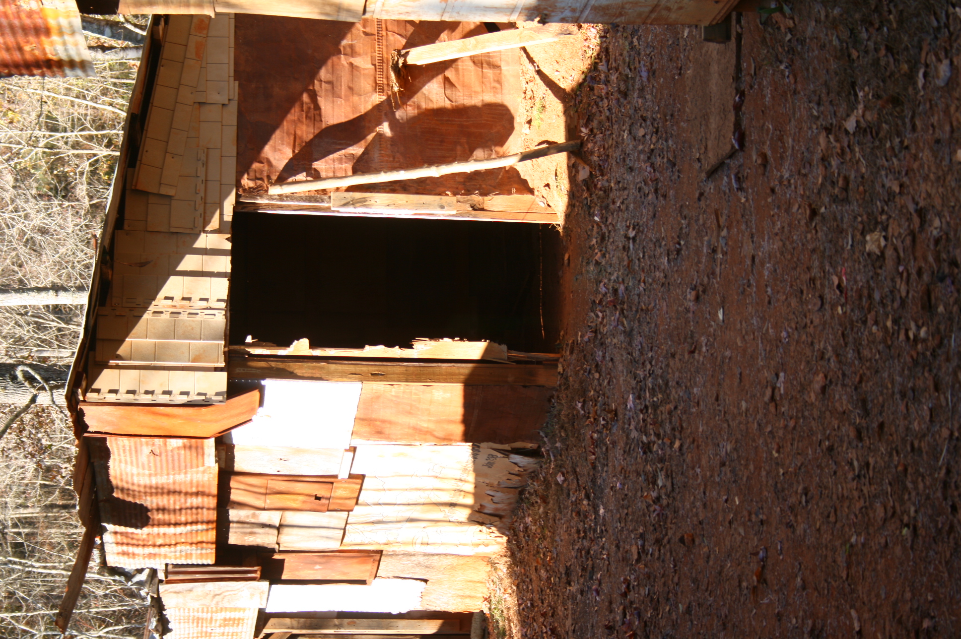
Shanty town scene
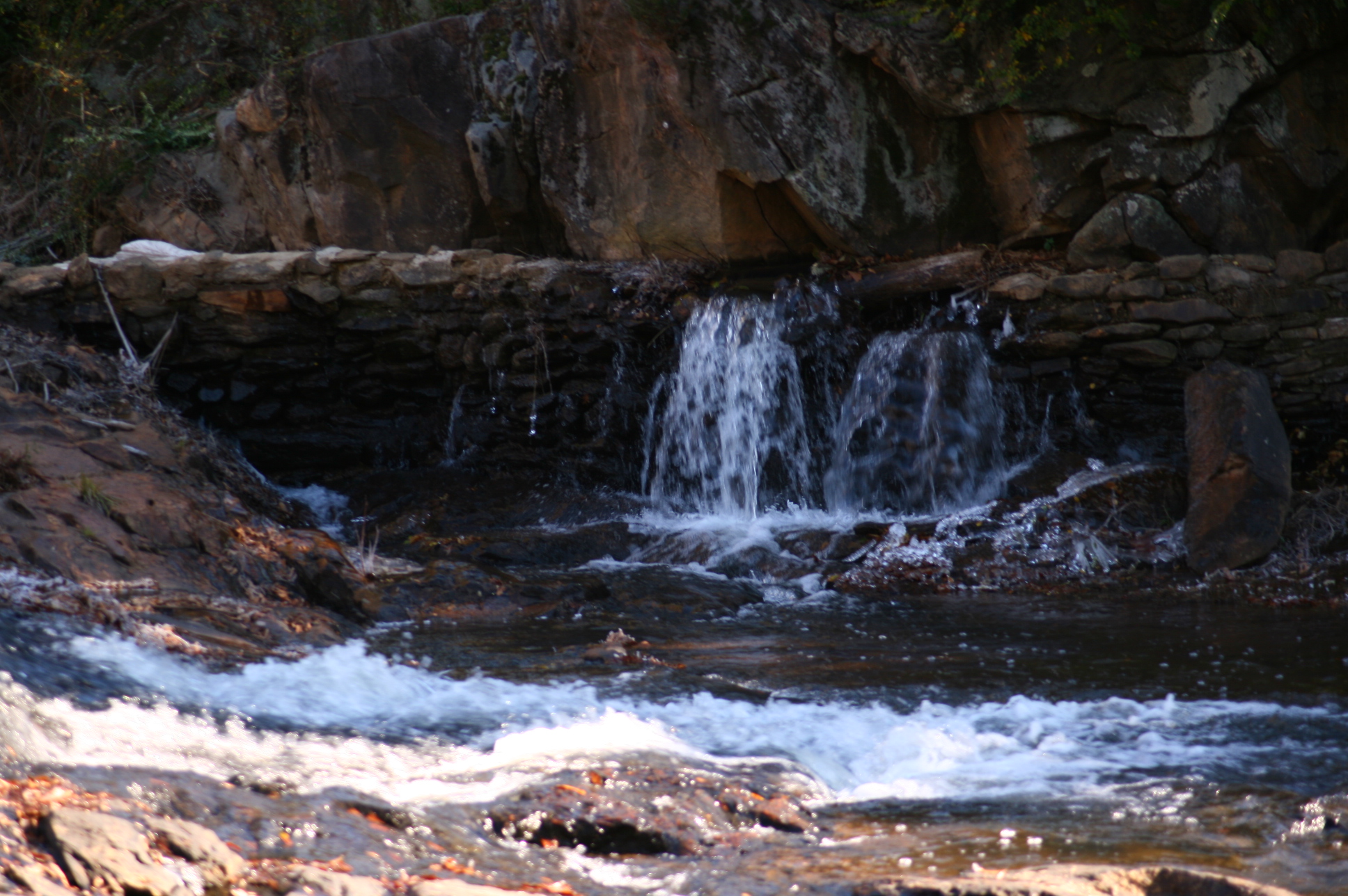
Mad Indian Creek
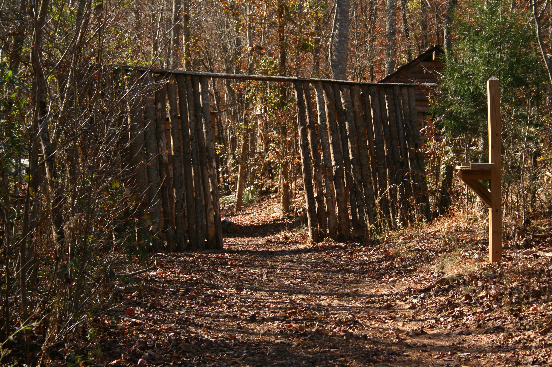
Entrance to village
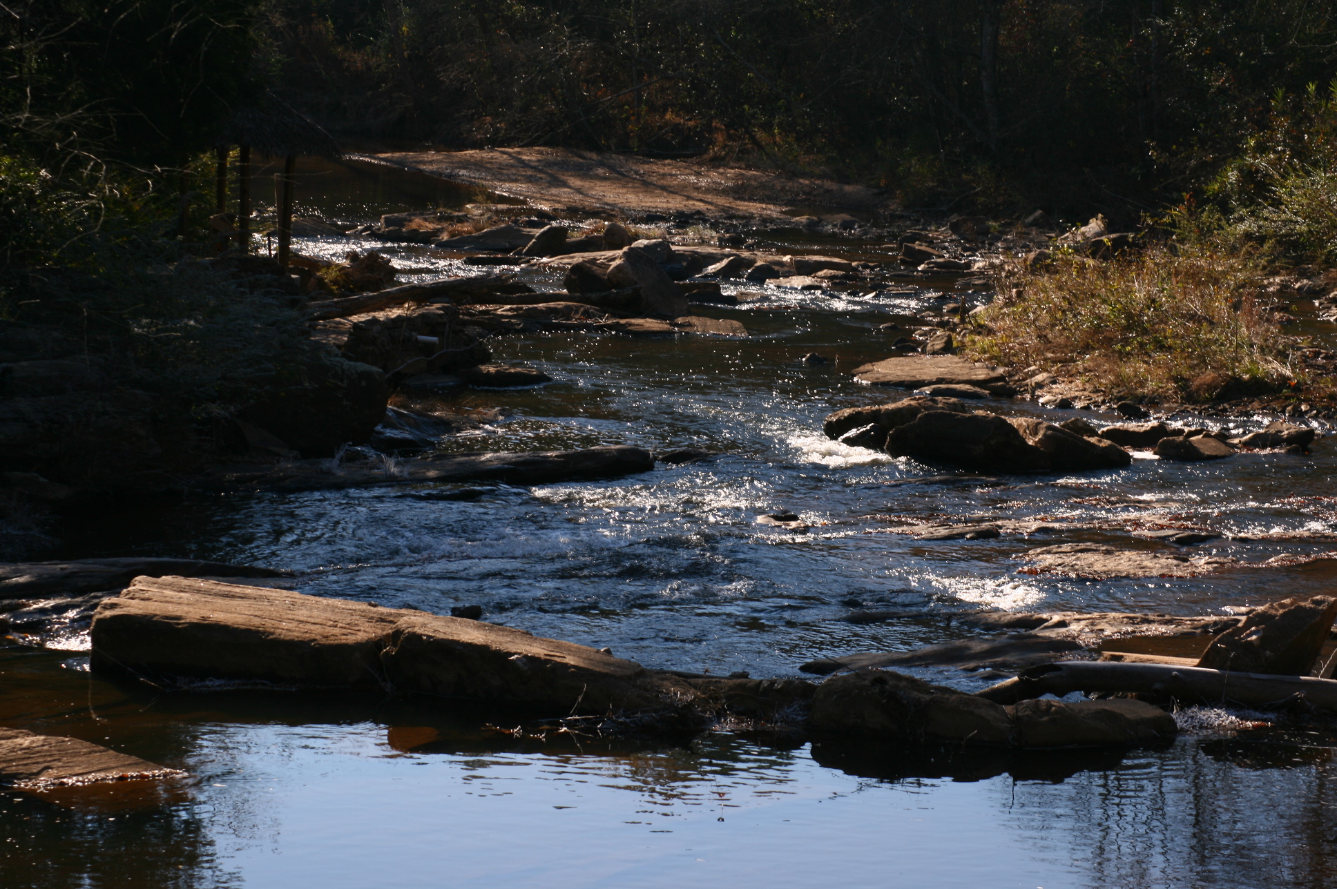
Mad Indian Creek
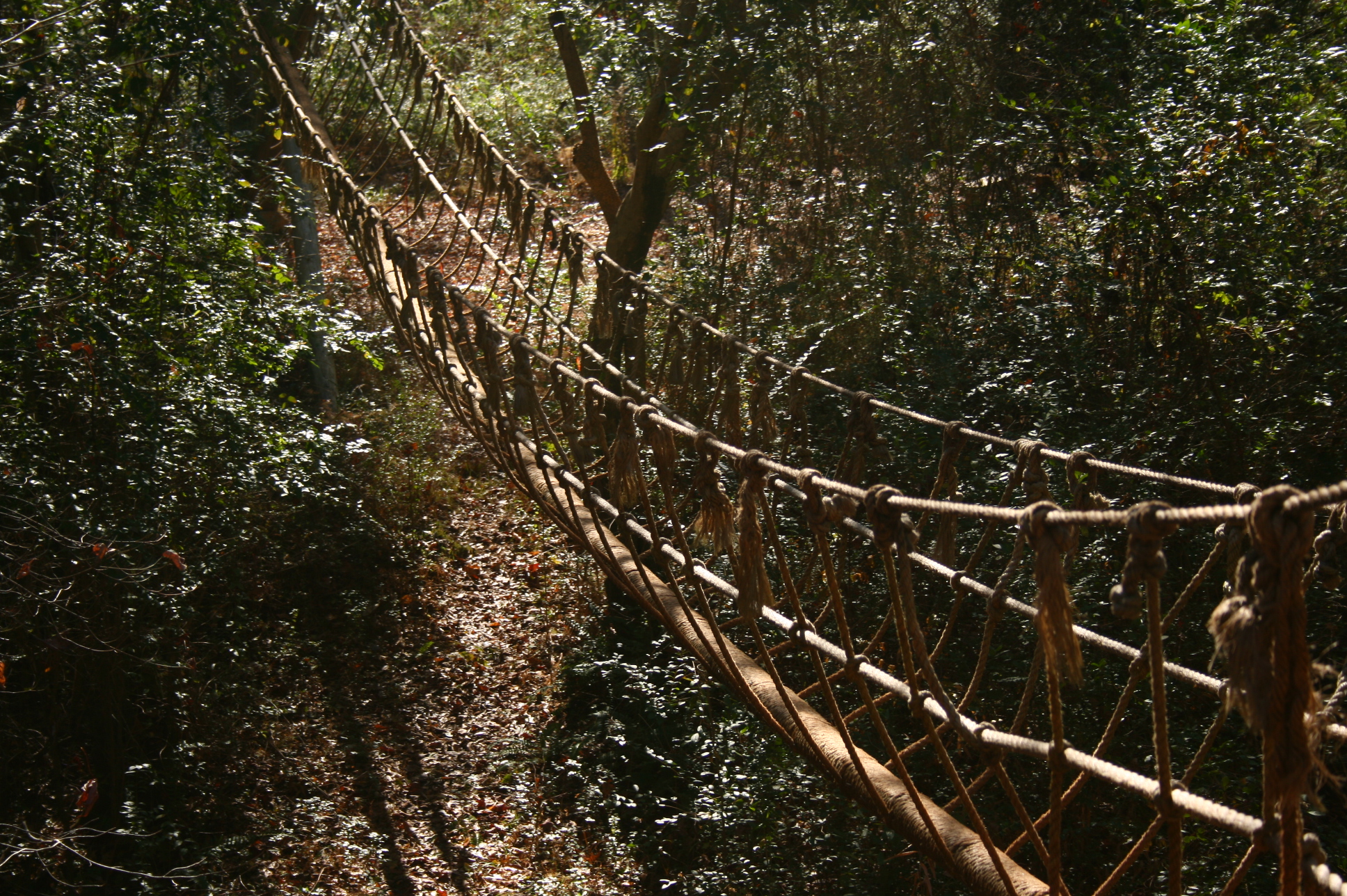
Rope bridge
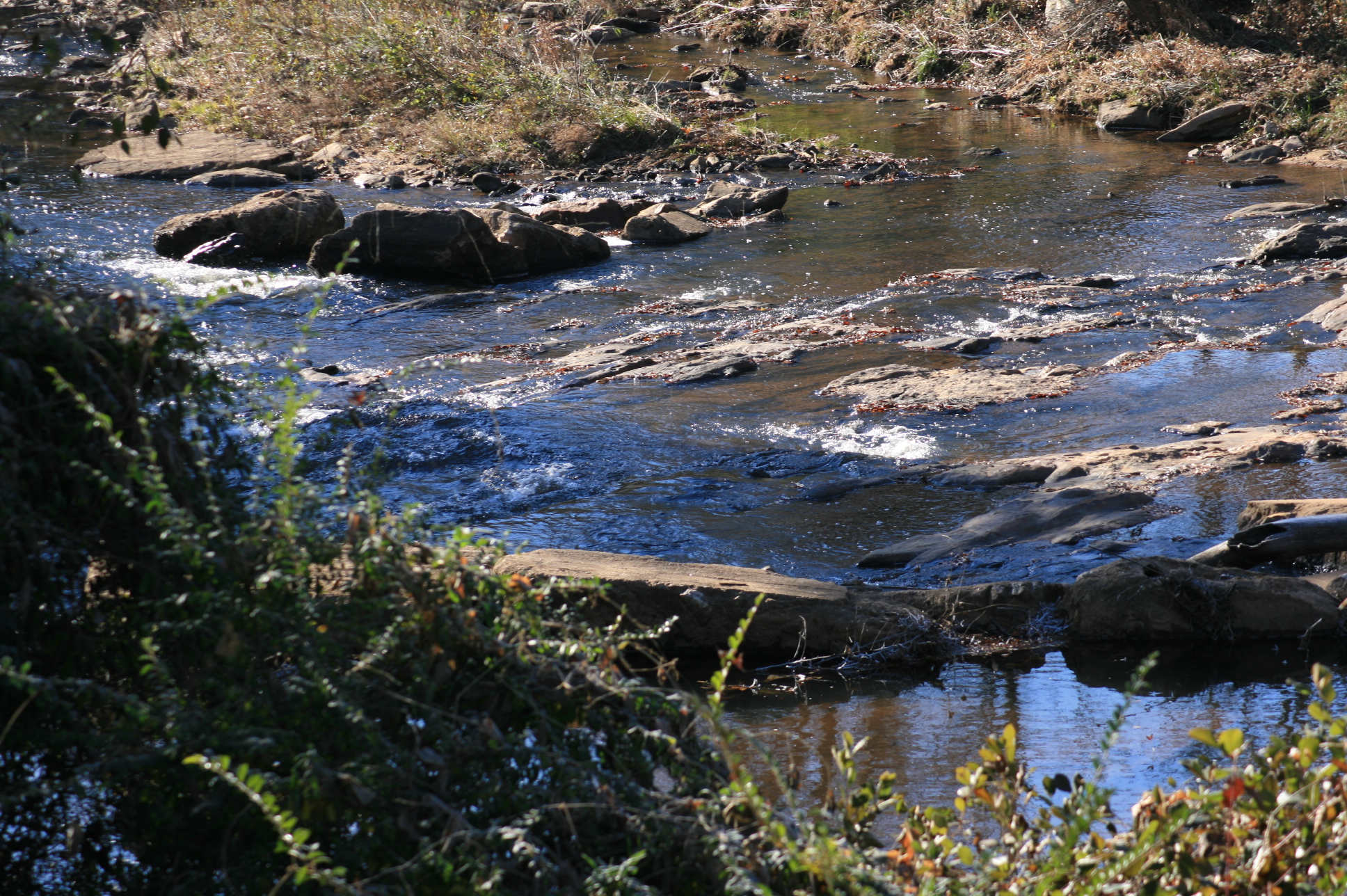
Mad Indian Creek
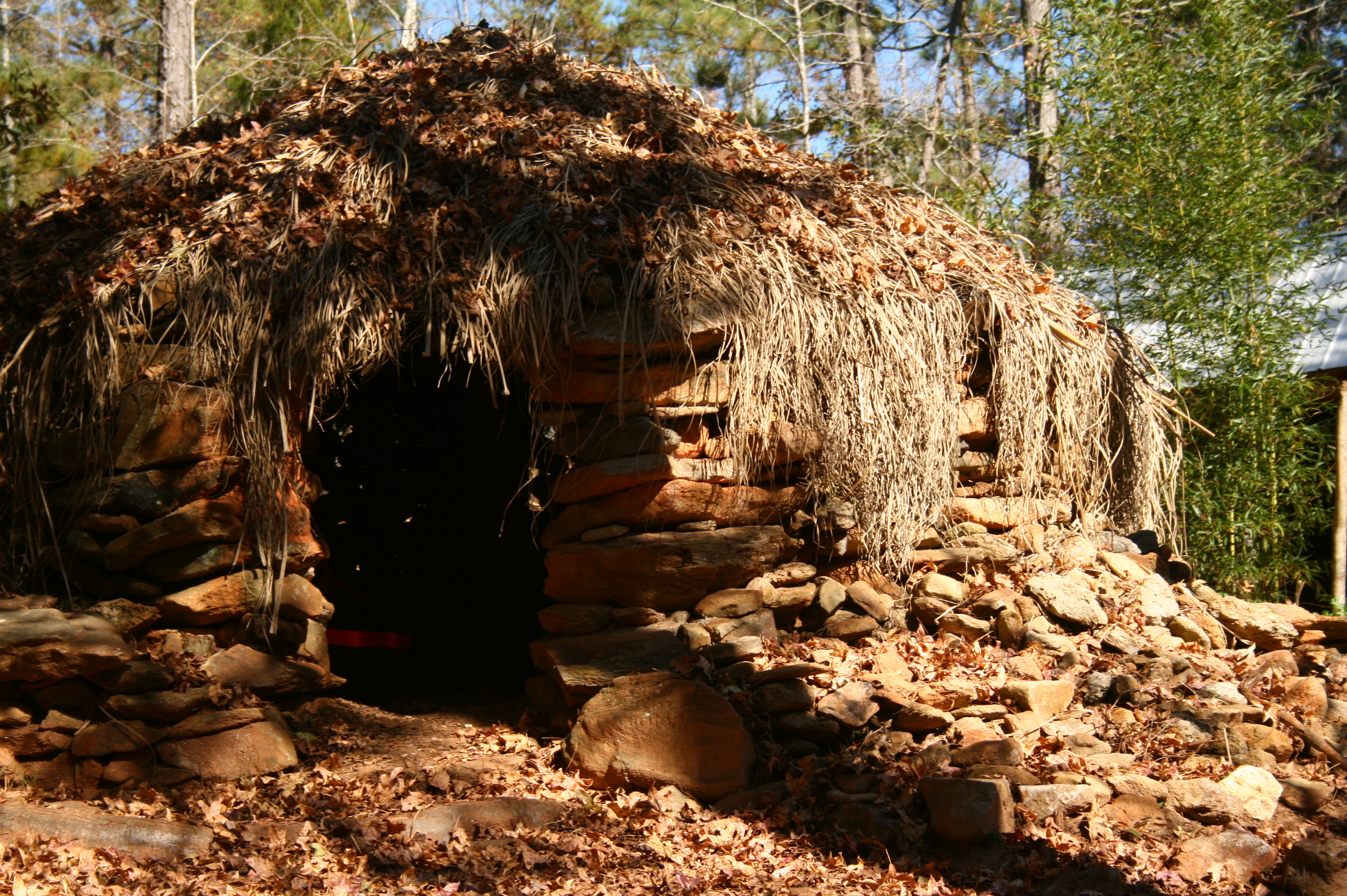
Rock and thatch hut
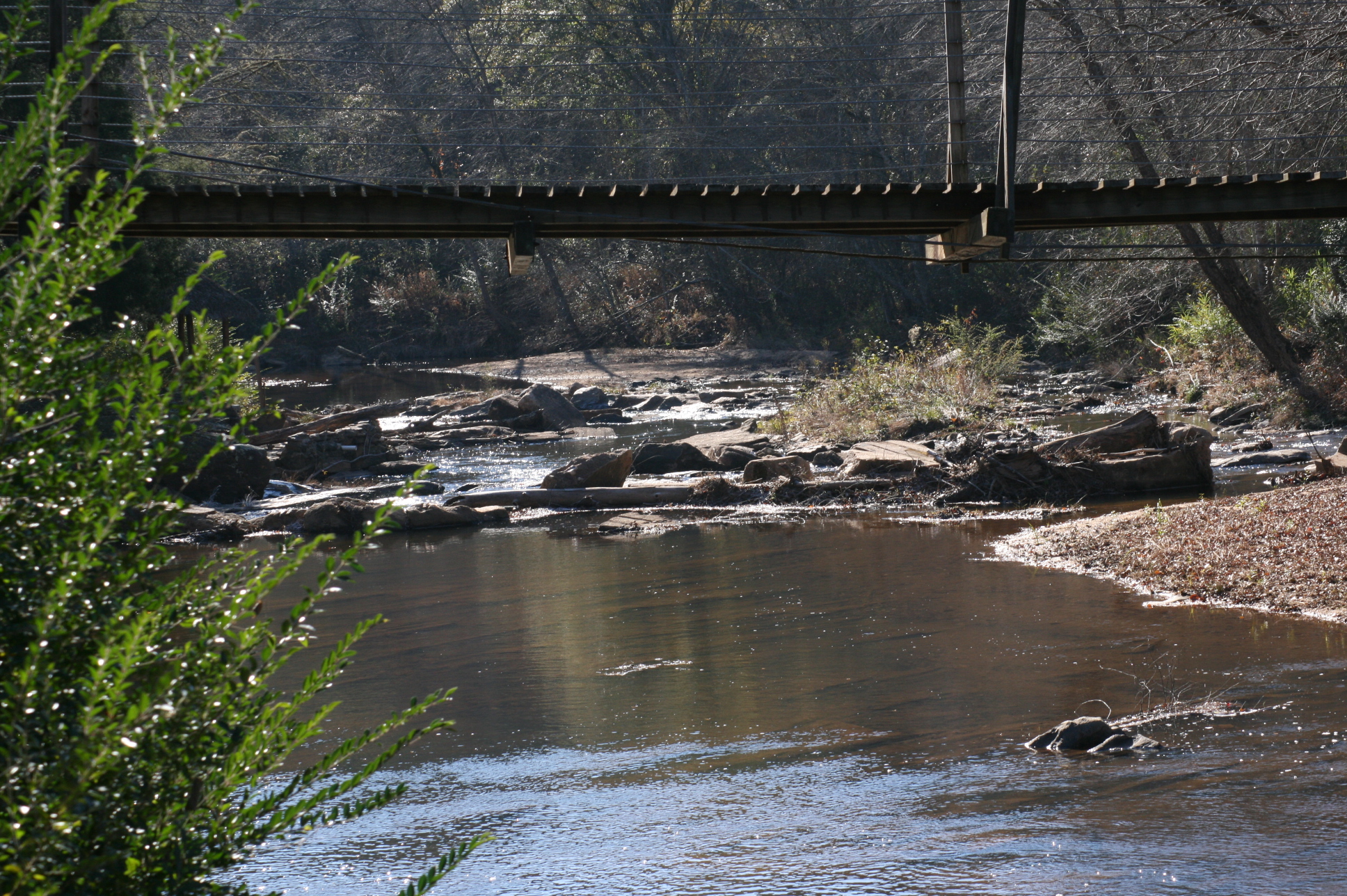
Suspension bridge
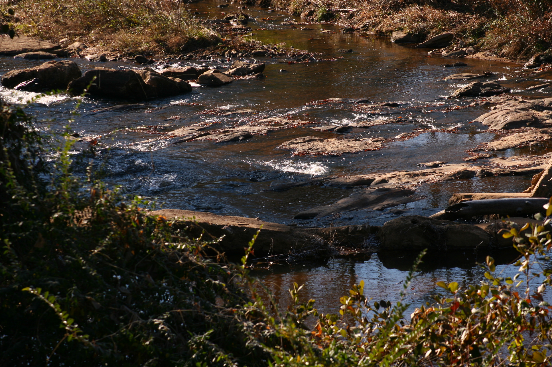
Mad Indian Creek
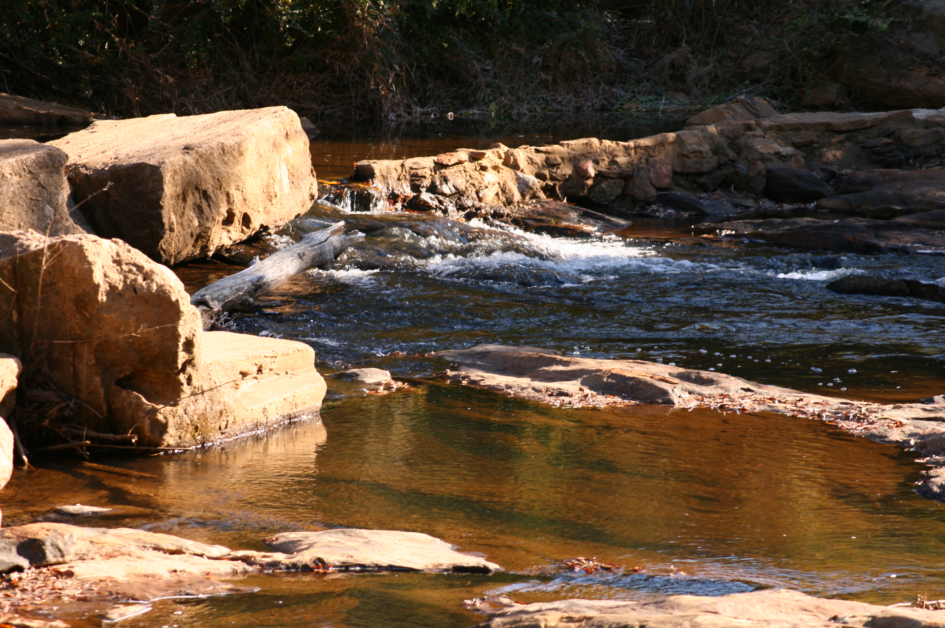
Mad Indian Creek
Topographic Map of Co Rd, Wedowee, AL, USA
Find elevation by address:

Places near Co Rd, Wedowee, AL, USA:
2388 Co Rd 129
Wedowee
Randolph County
7841 Old U.s. 431
Co Rd 95, Wedowee, AL, USA
Co Rd 59, Roanoke, AL, USA
Woodland
41 Co Rd 406
Co Rd 43, Wadley, AL, USA
1429 Co Rd 80
1729 Co Rd 61
383 Shiloh Church Road
383 Shiloh Church Road
1043 Shiloh Church Road
AL-22, Wadley, AL, USA
Co Rd 92, Graham, AL, USA
AL-9, Lineville, AL, USA
Wadley
Delta
Roanoke
Recent Searches:
- Elevation of Corso Fratelli Cairoli, 35, Macerata MC, Italy
- Elevation of Tallevast Rd, Sarasota, FL, USA
- Elevation of 4th St E, Sonoma, CA, USA
- Elevation of Black Hollow Rd, Pennsdale, PA, USA
- Elevation of Oakland Ave, Williamsport, PA, USA
- Elevation of Pedrógão Grande, Portugal
- Elevation of Klee Dr, Martinsburg, WV, USA
- Elevation of Via Roma, Pieranica CR, Italy
- Elevation of Tavkvetili Mountain, Georgia
- Elevation of Hartfords Bluff Cir, Mt Pleasant, SC, USA