Elevation of Shiloh Church Road, Delta, AL, USA
Location: United States > Alabama > Delta >
Longitude: -85.673375
Latitude: 33.4216272
Elevation: 310m / 1017feet
Barometric Pressure: 98KPa
Elevation Map:
Satellite Map:
Related Photos:
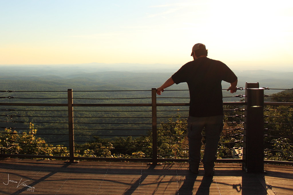
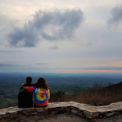
Mountain Top Sunset
every picture tells a story

What a view! (sometimes)

photo #18

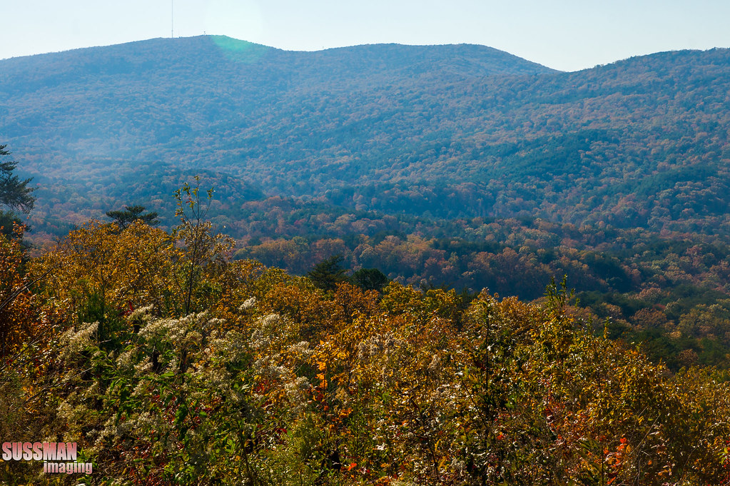
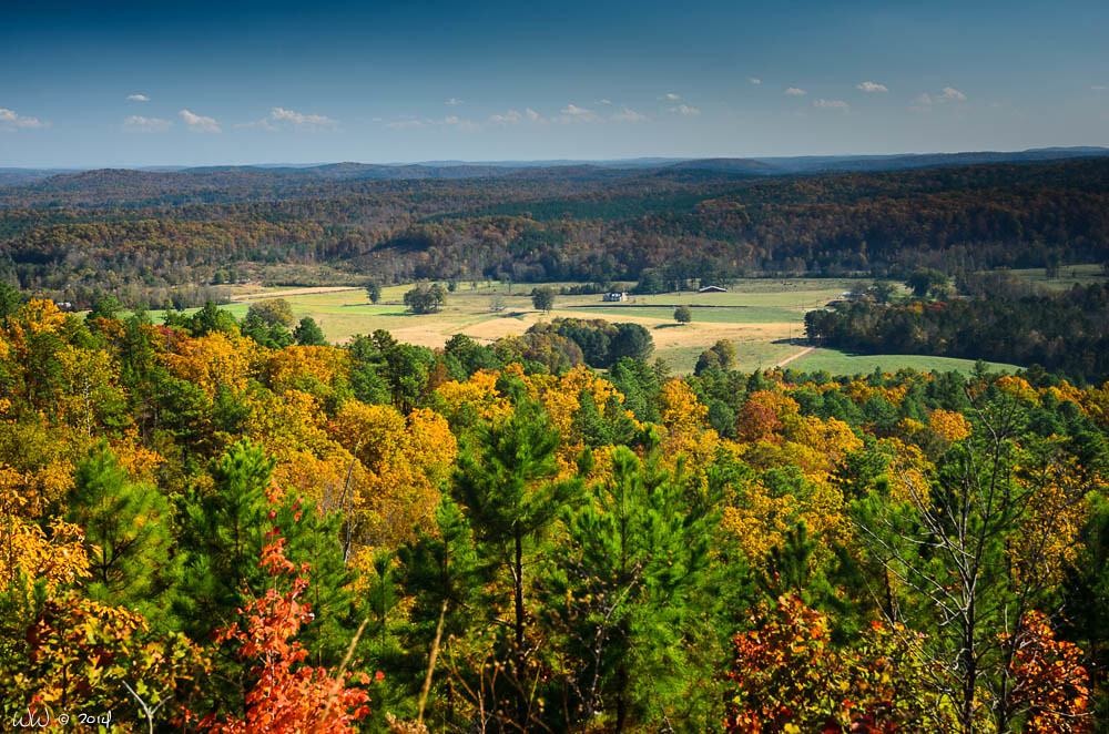
The View from Cheaha Mountain
Bald Rock

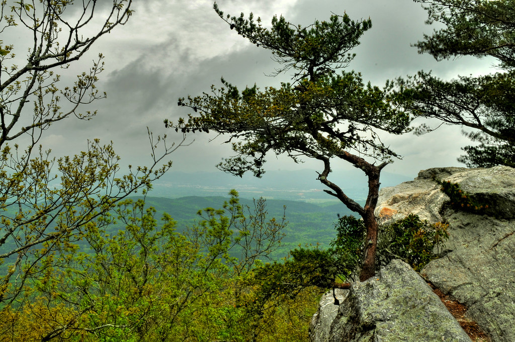
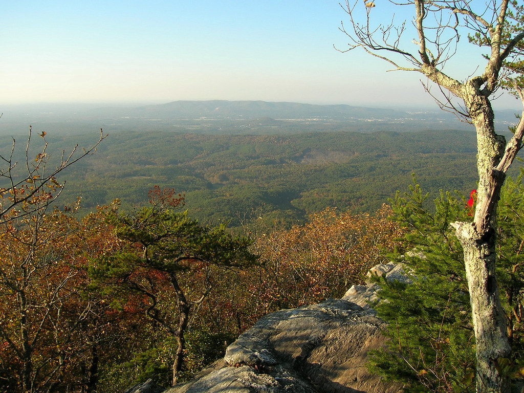
View from Pulpit Rock
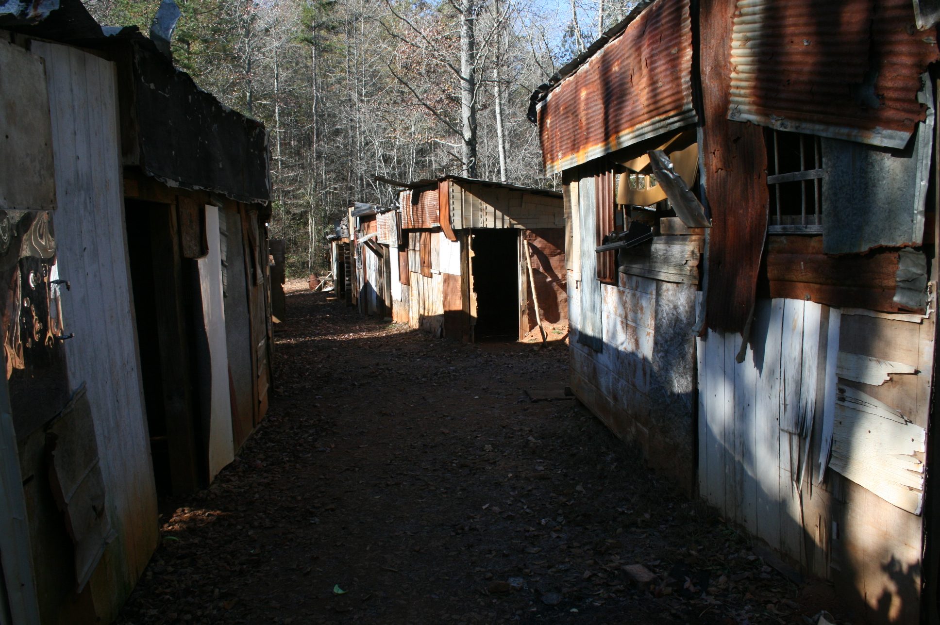
Shanty town scene

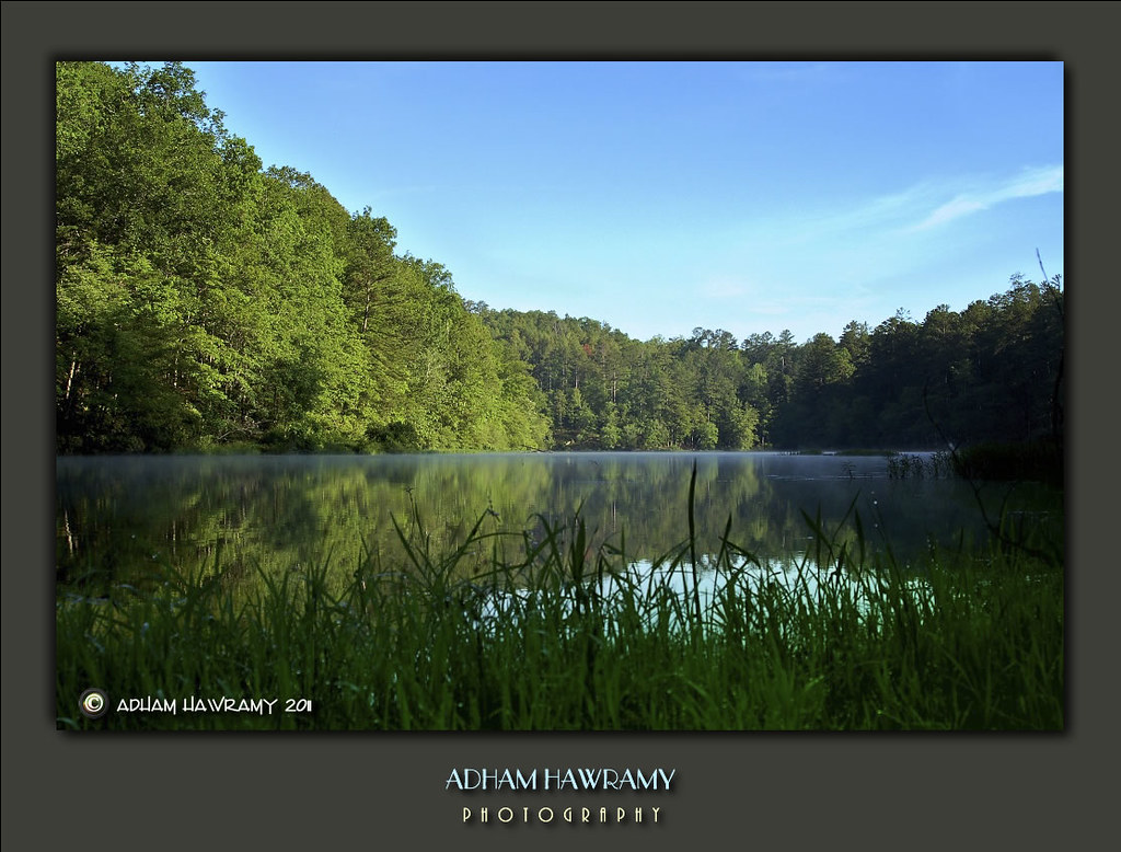
Cheaha Mountain

Cheaha Mountain
Mountain view
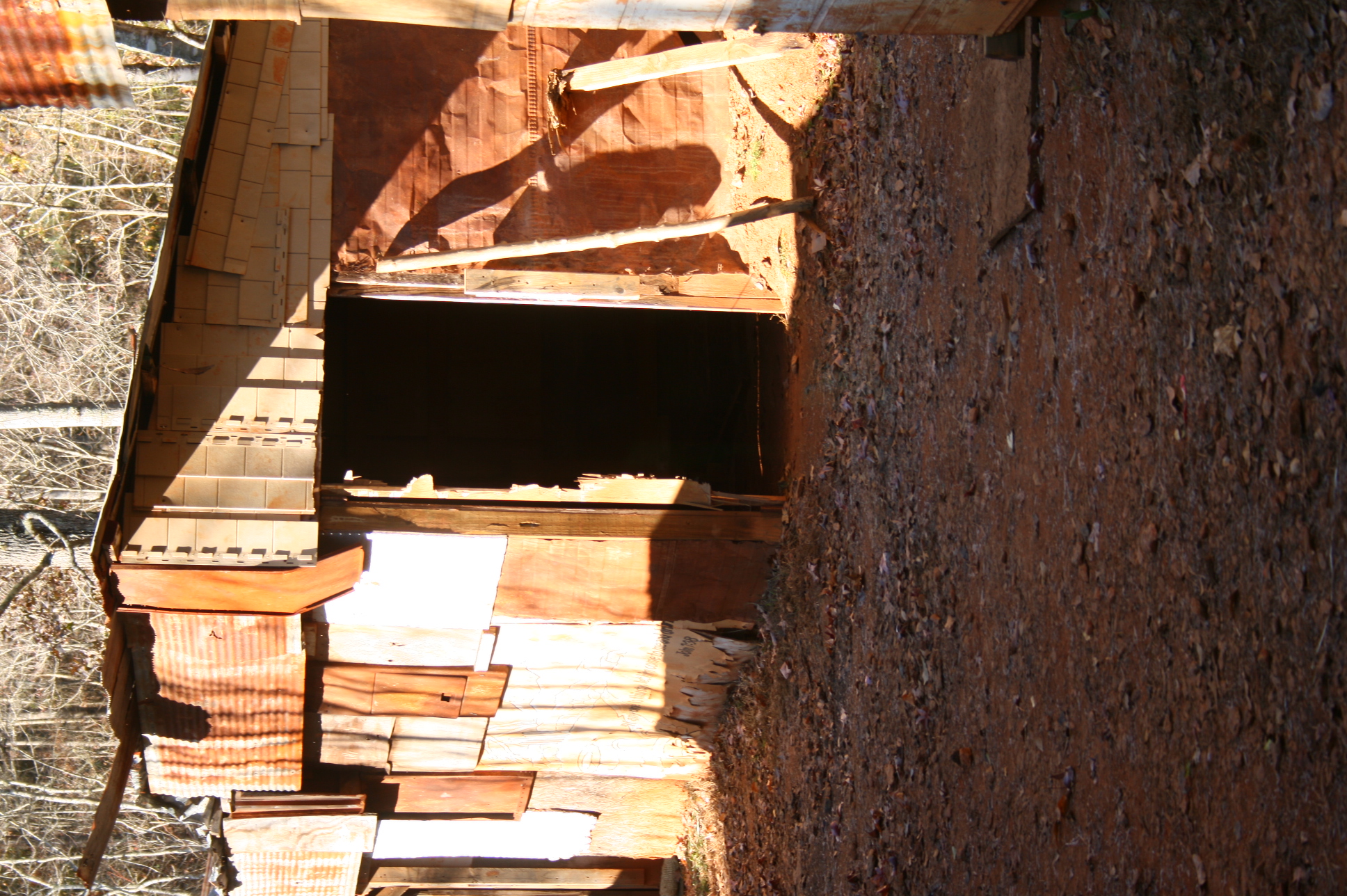
Shanty town scene
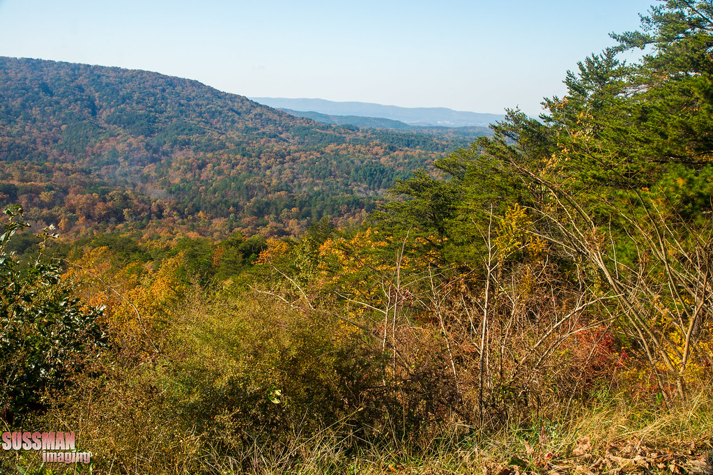
View from Cheaha State Park

Pulpit Rock Trail

Bald Rock Trail
Bald ROck view

Cheaha Mountain

Pulpit Rock Trail
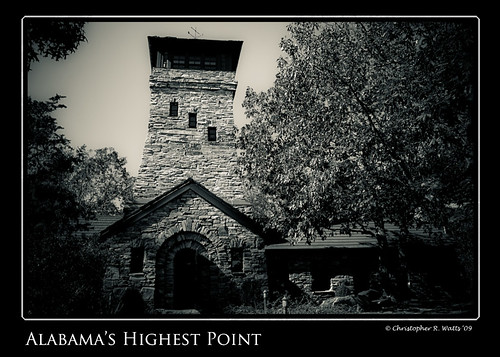
Alabama's Highest Point
Mountain view
View from Chehaha Lodge
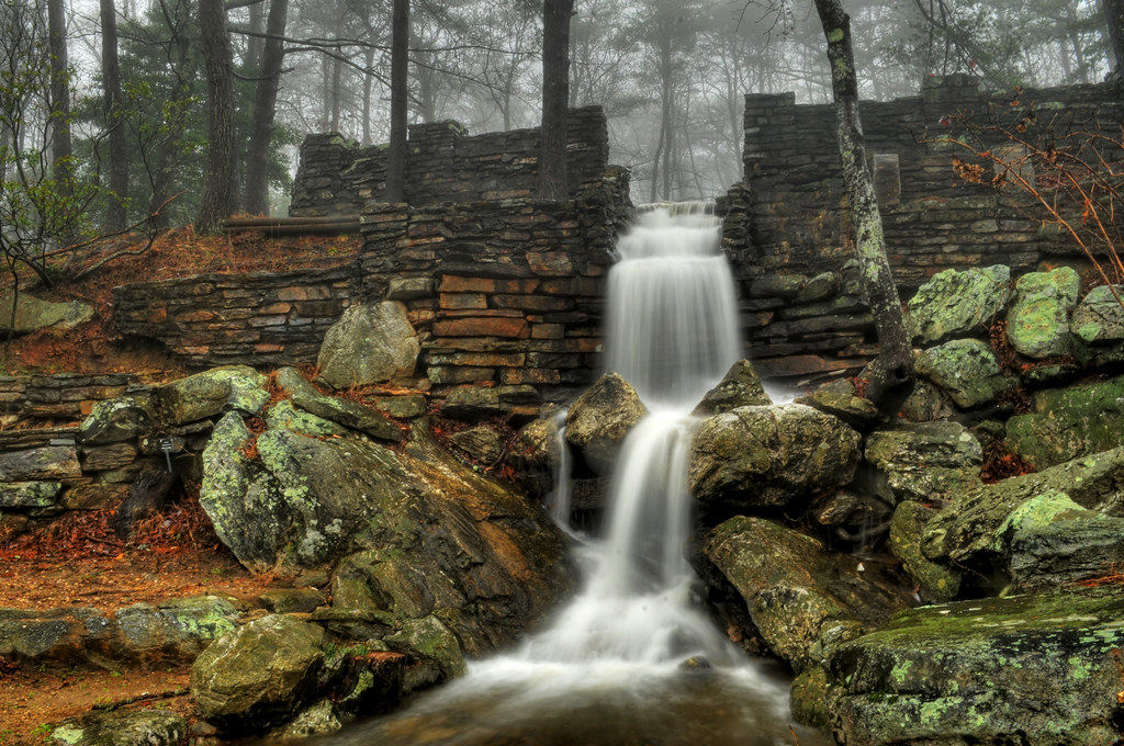
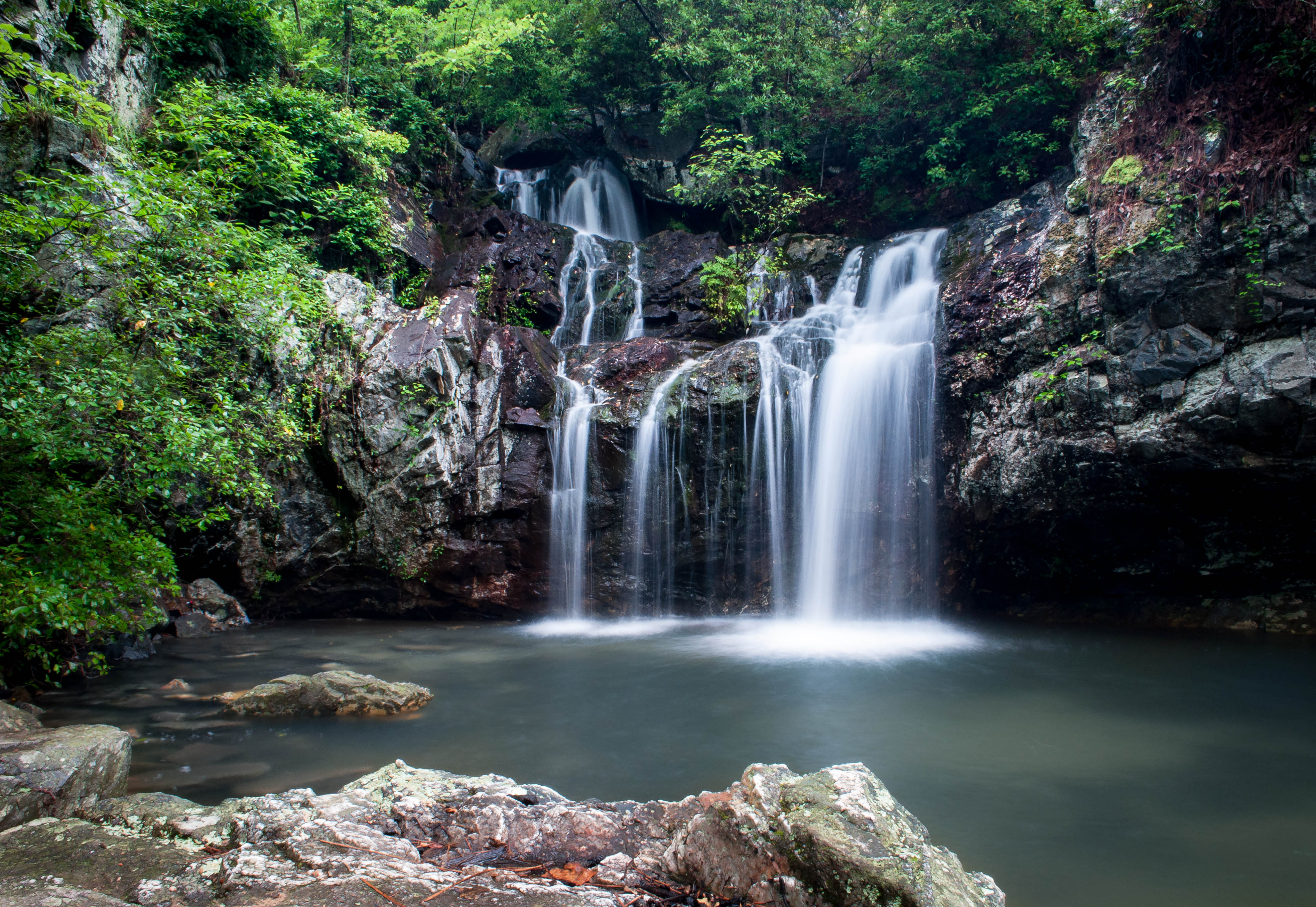
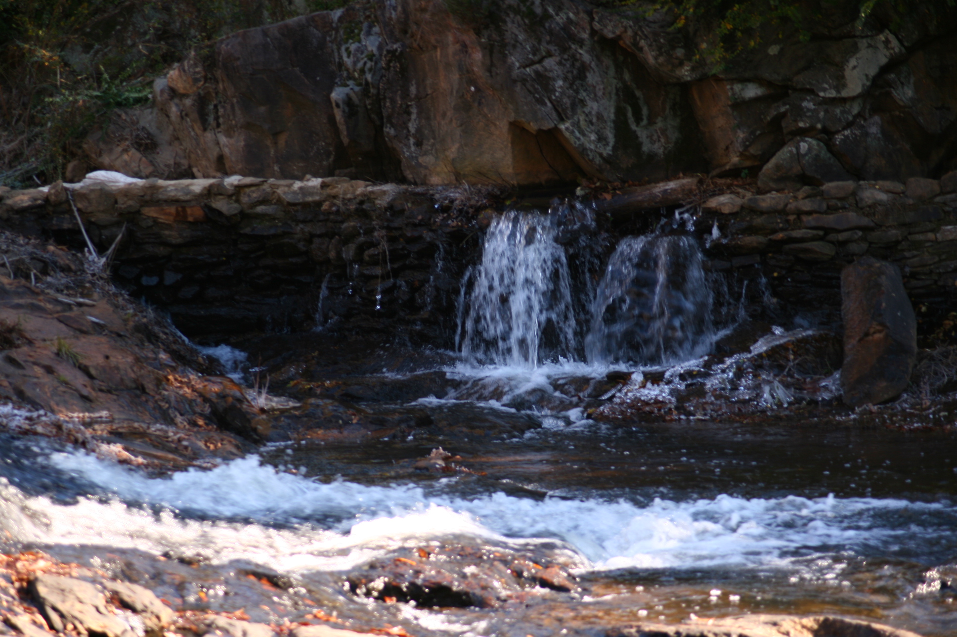
Cheaha Waterfall

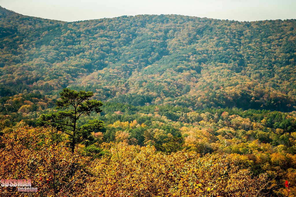
Canopy of fall colors
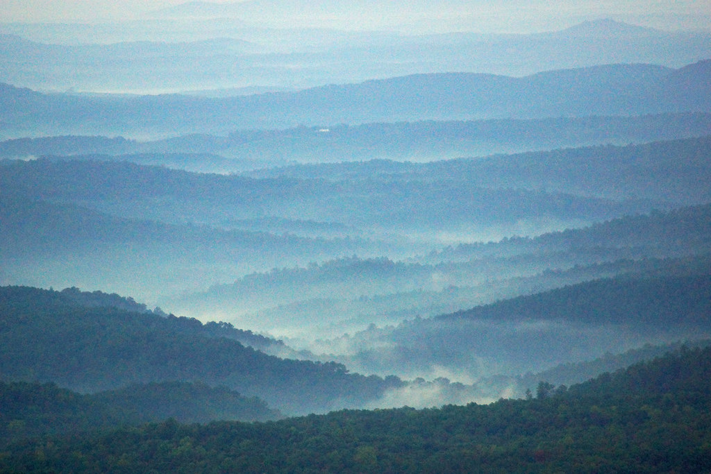
A Cool Morning At Cheaha State Park, AL
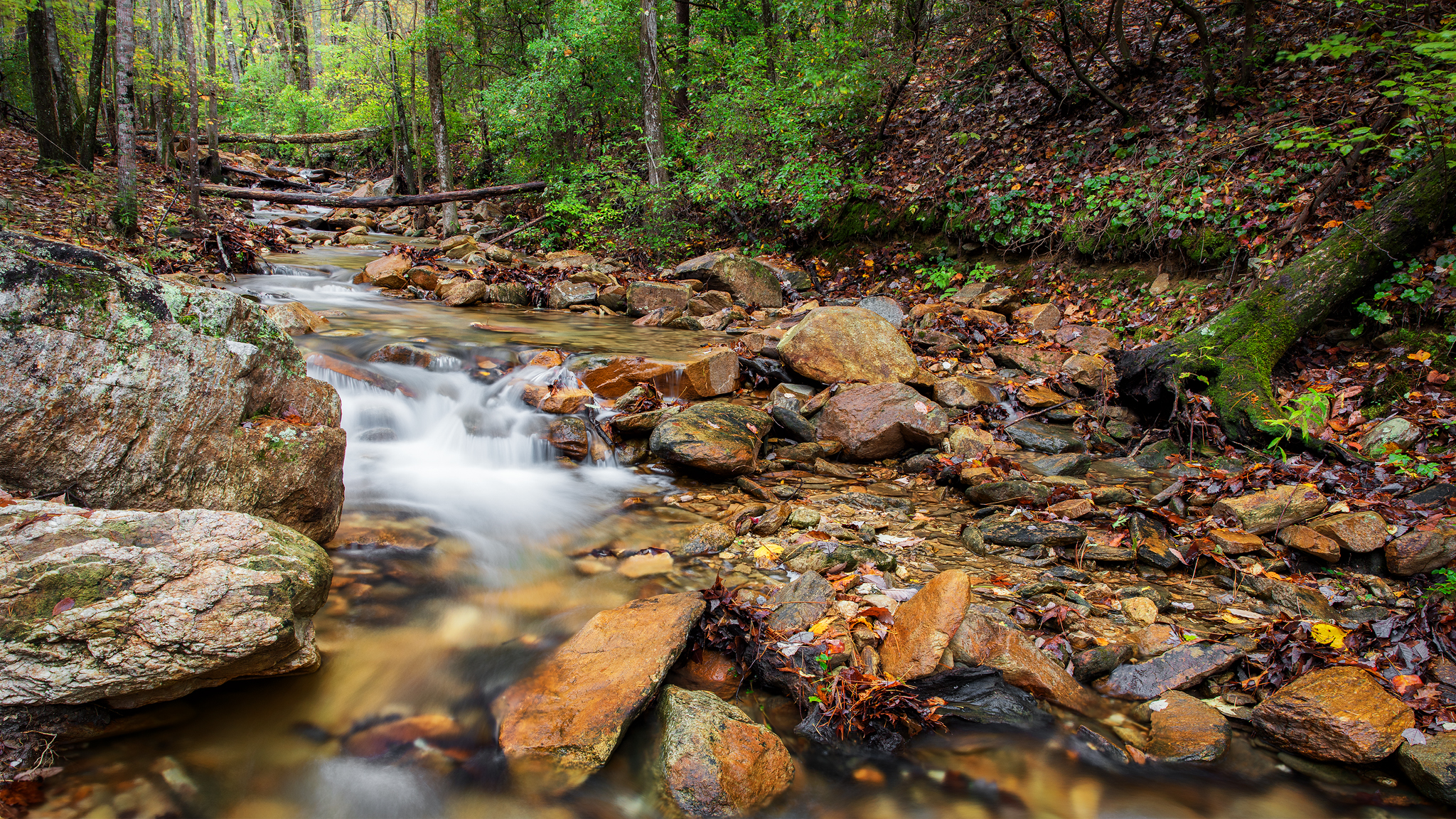
Mountain Stream
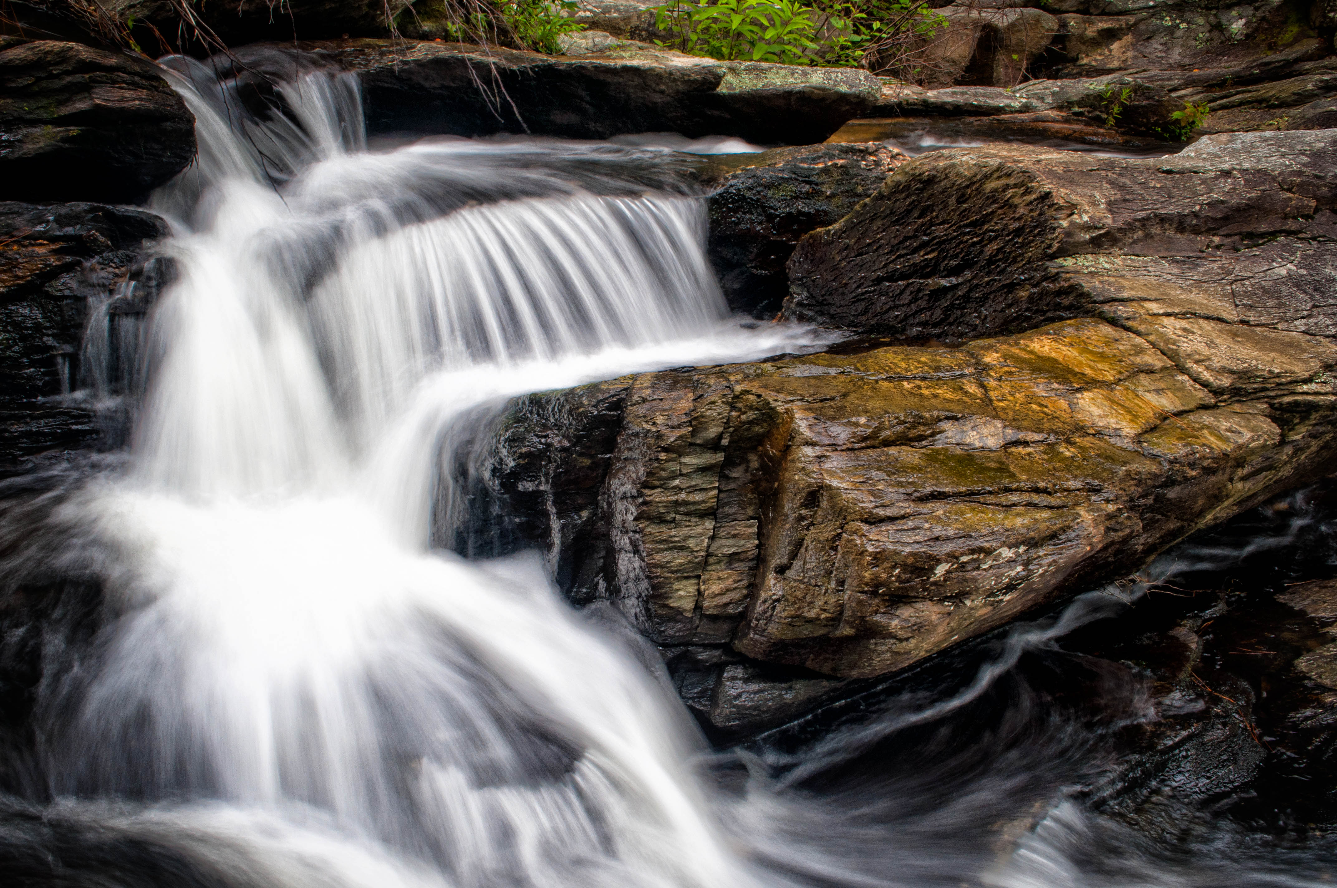
HighFalls-56
Above Cheaha Falls
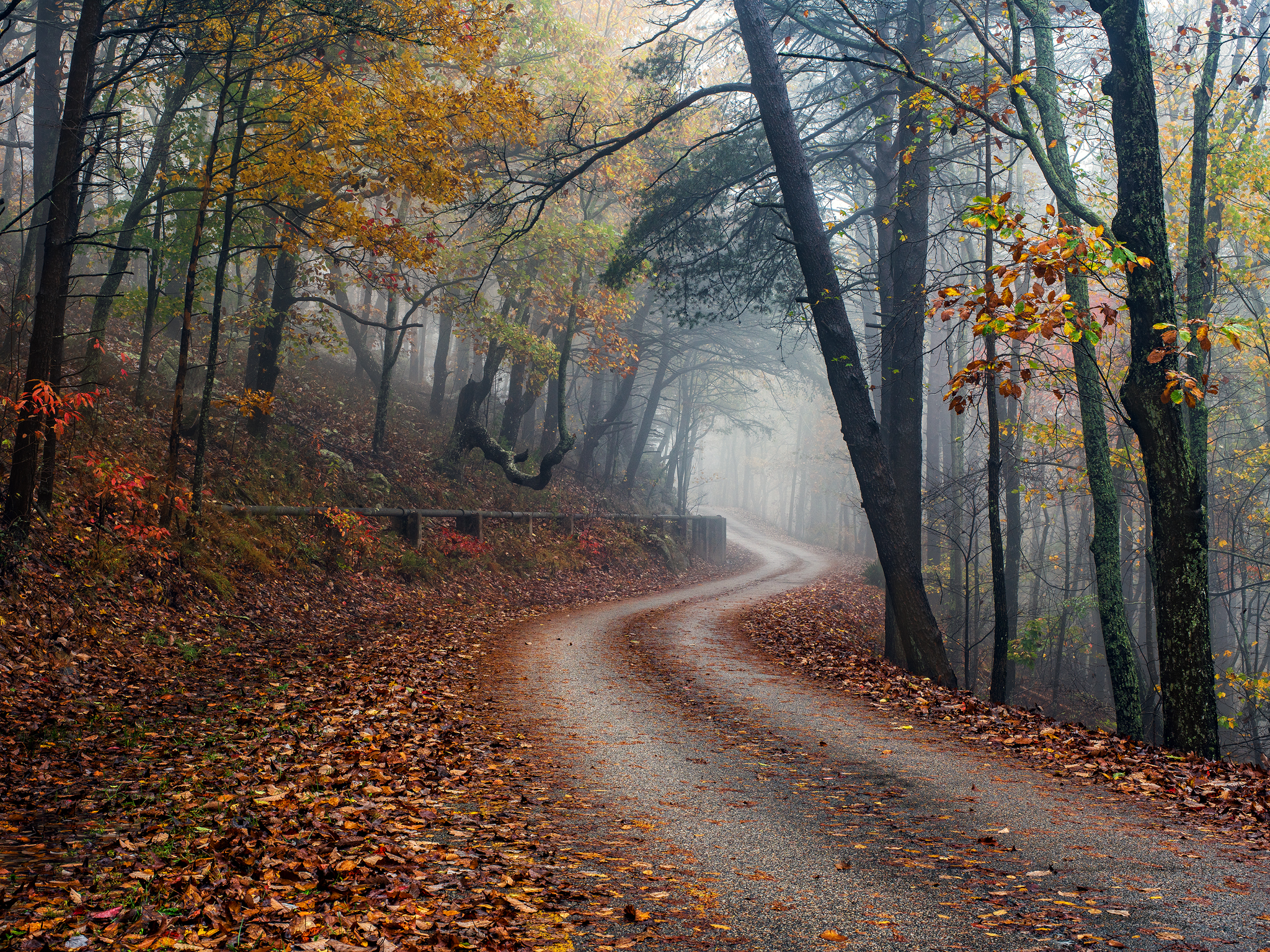
Cheaha in Autumn
always, for you, home
Mad Indian Creek

Natural bonzai -2-
Entrance to village
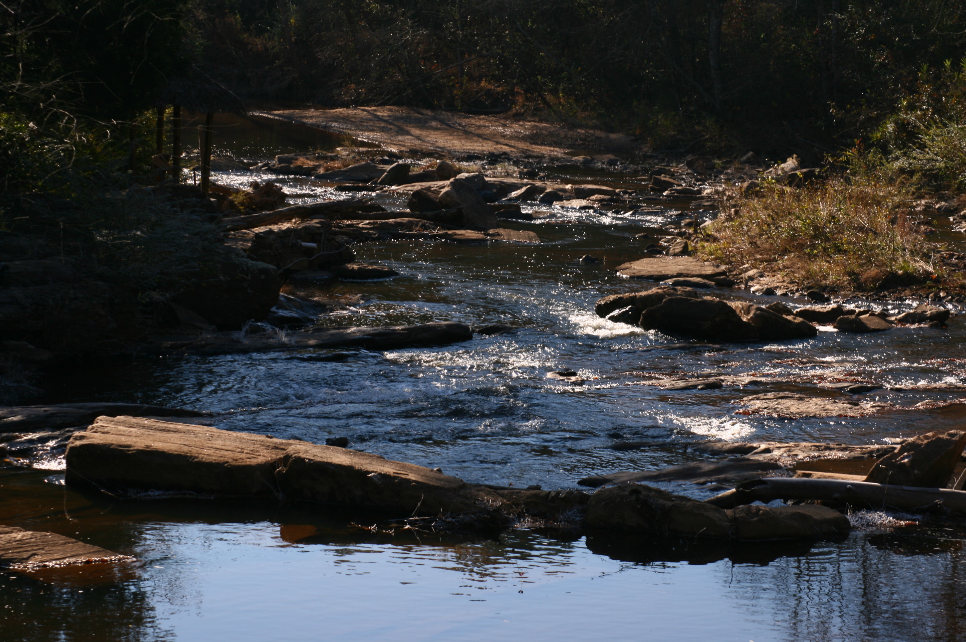
Mad Indian Creek

Pulpit Rock, Mt. Cheaha, Alabama

God is smiling
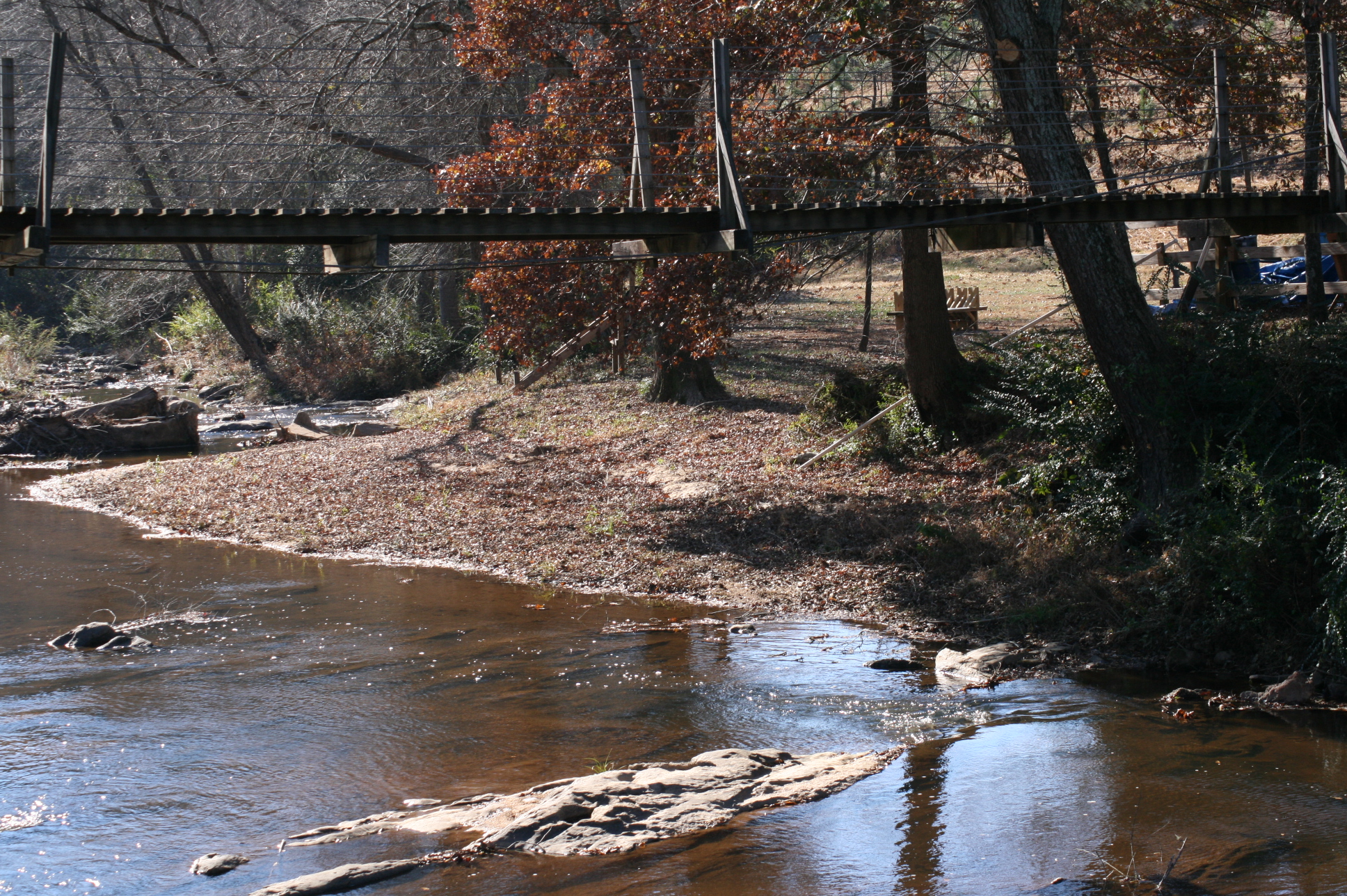
Suspension bridge
#springbreak #cheahastatepark #talladeganationalforest #scenic #sunset
Alabama Autumn #3

Mt. Cheaha Sunset
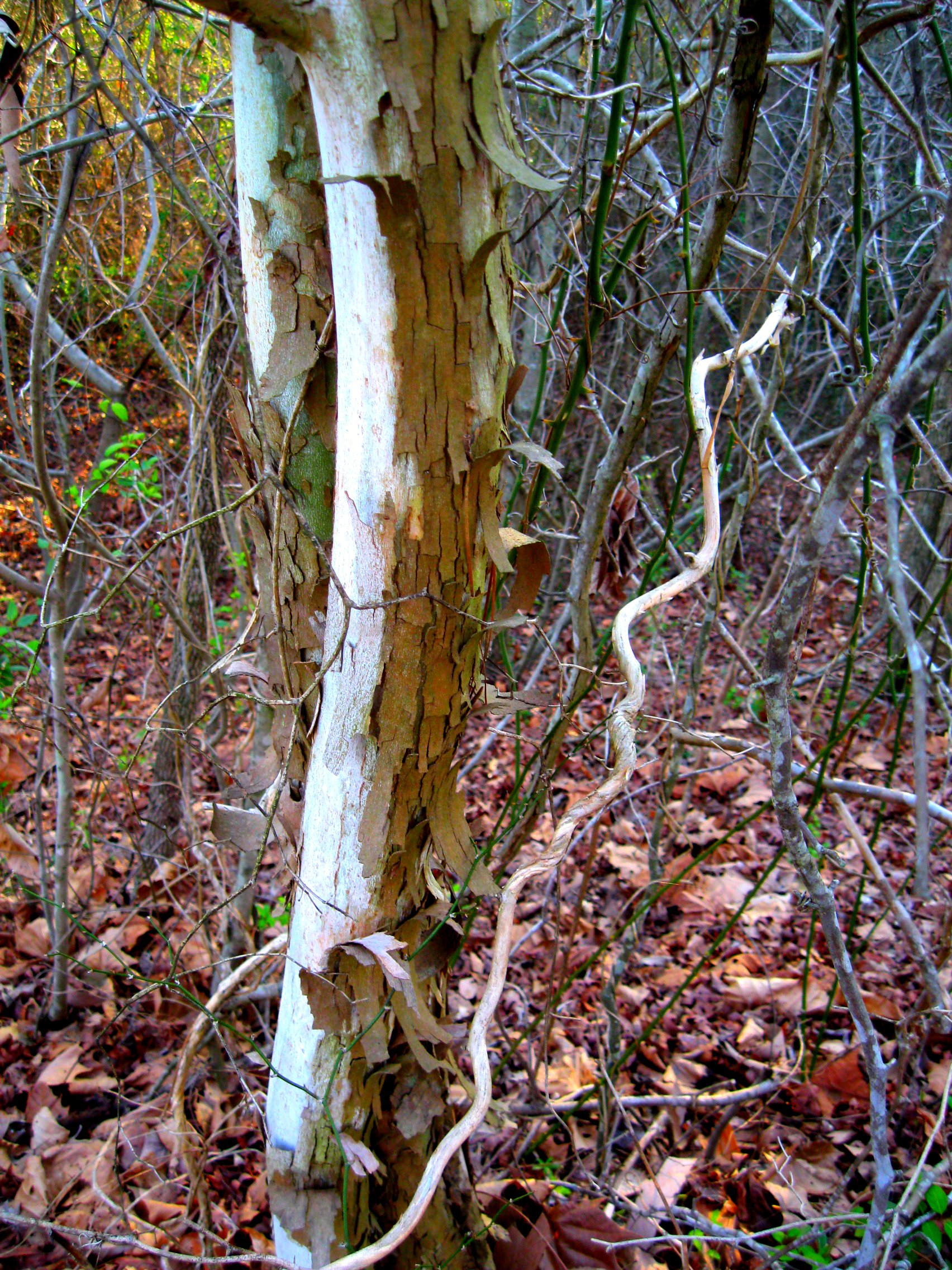
sycamores doing their sycamorish thing
Topographic Map of Shiloh Church Road, Delta, AL, USA
Find elevation by address:

Places near Shiloh Church Road, Delta, AL, USA:
383 Shiloh Church Road
1043 Shiloh Church Road
Delta
AL-9, Lineville, AL, USA
1015 Prairie Creek Rd
3893 Co Rd 11
Lineville
AL-9, Lineville, AL, USA
County Road 13
41 Co Rd 406
2388 Co Rd 129
2388 Co Rd 129
Co Rd 13, Heflin, AL, USA
7841 Old U.s. 431
16 Boiling Springs Rd, Oxford, AL, USA
Randolph County
Dearmanville Dr S, Anniston, AL, USA
Wedowee
45 AL-, Heflin, AL, USA
Us-78 & Town Creek Rd
Recent Searches:
- Elevation of Griffing Blvd, Biscayne Park, FL, USA
- Elevation of Kreuzburger Weg 13, Düsseldorf, Germany
- Elevation of Gateway Blvd SE, Canton, OH, USA
- Elevation of East W.T. Harris Boulevard, E W.T. Harris Blvd, Charlotte, NC, USA
- Elevation of West Sugar Creek, Charlotte, NC, USA
- Elevation of Wayland, NY, USA
- Elevation of Steadfast Ct, Daphne, AL, USA
- Elevation of Lagasgasan, X+CQH, Tiaong, Quezon, Philippines
- Elevation of Rojo Ct, Atascadero, CA, USA
- Elevation of Flagstaff Drive, Flagstaff Dr, North Carolina, USA