Elevation of AL-9, Lineville, AL, USA
Location: United States > Alabama > Clay County > Lineville >
Longitude: -85.716679
Latitude: 33.36011
Elevation: 311m / 1020feet
Barometric Pressure: 98KPa
Elevation Map:
Satellite Map:
Related Photos:
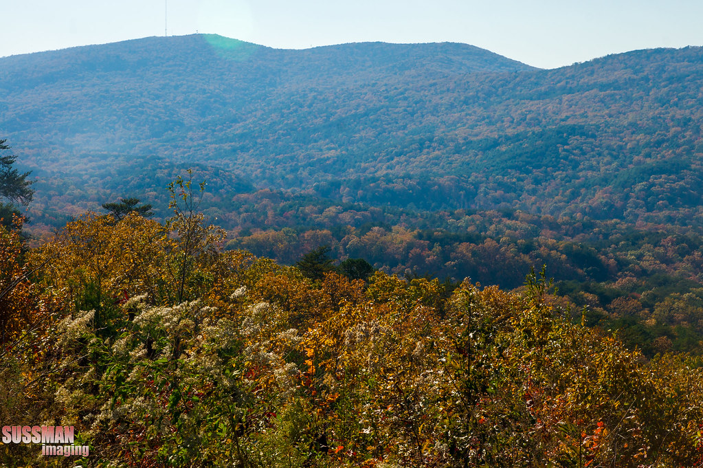
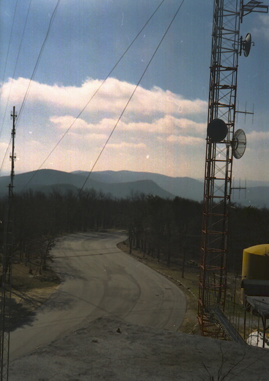
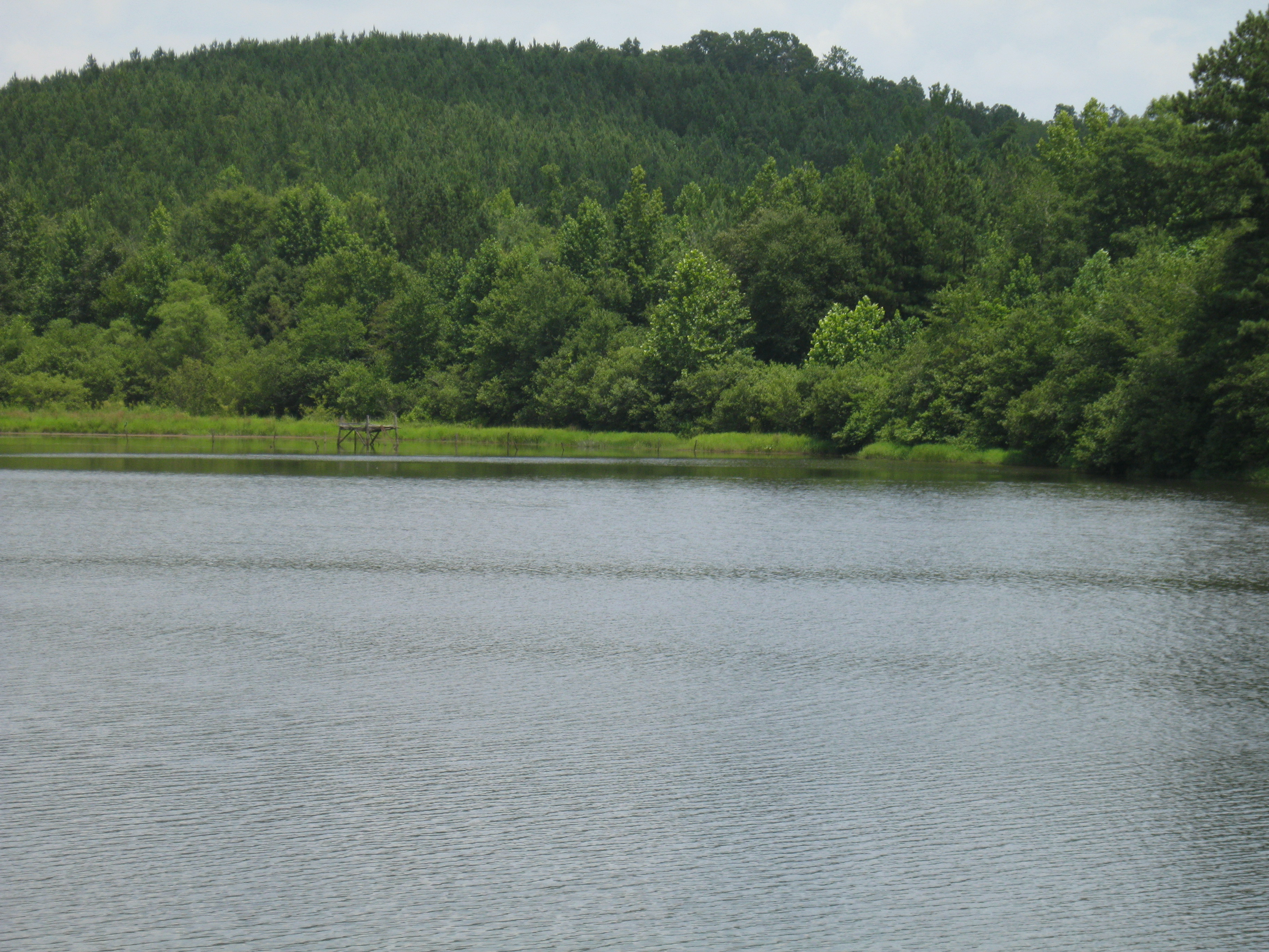
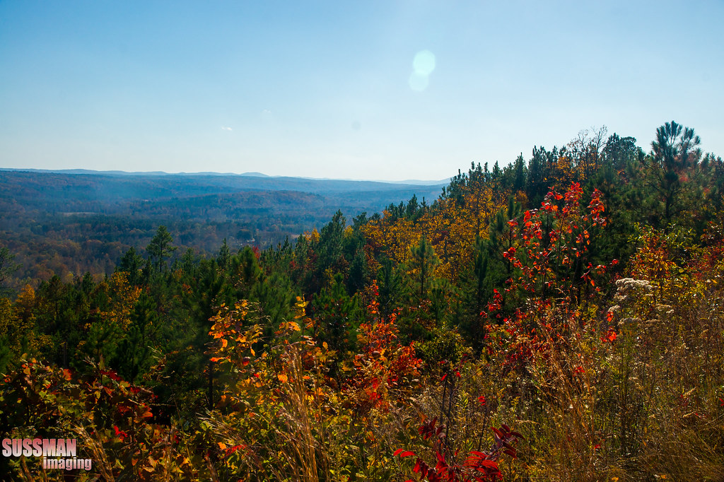
Mountain view
View from Cheaha State Park
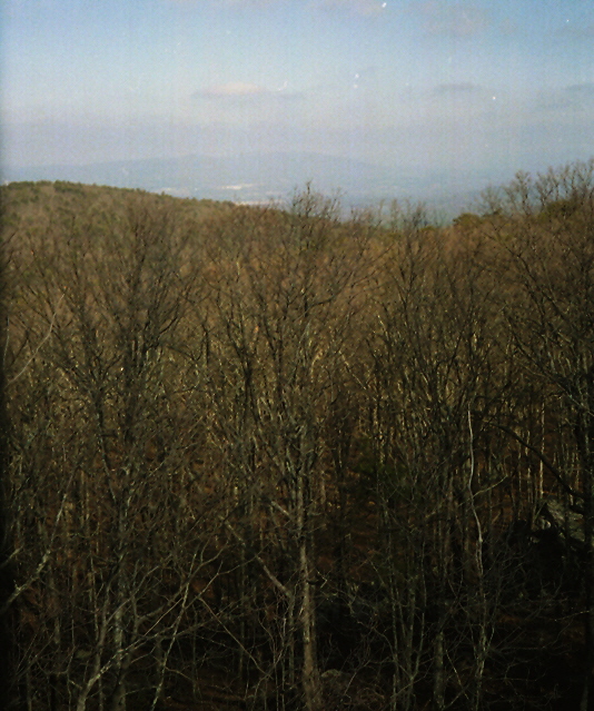
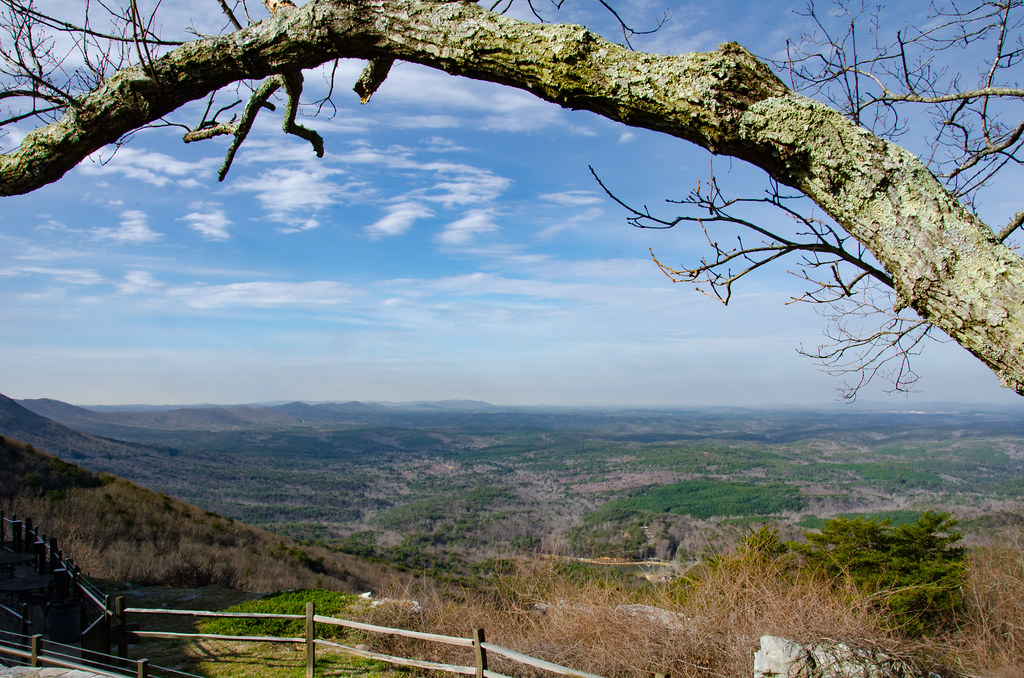
Mountain view

Cheaha State Park
every picture tells a story

photo #18
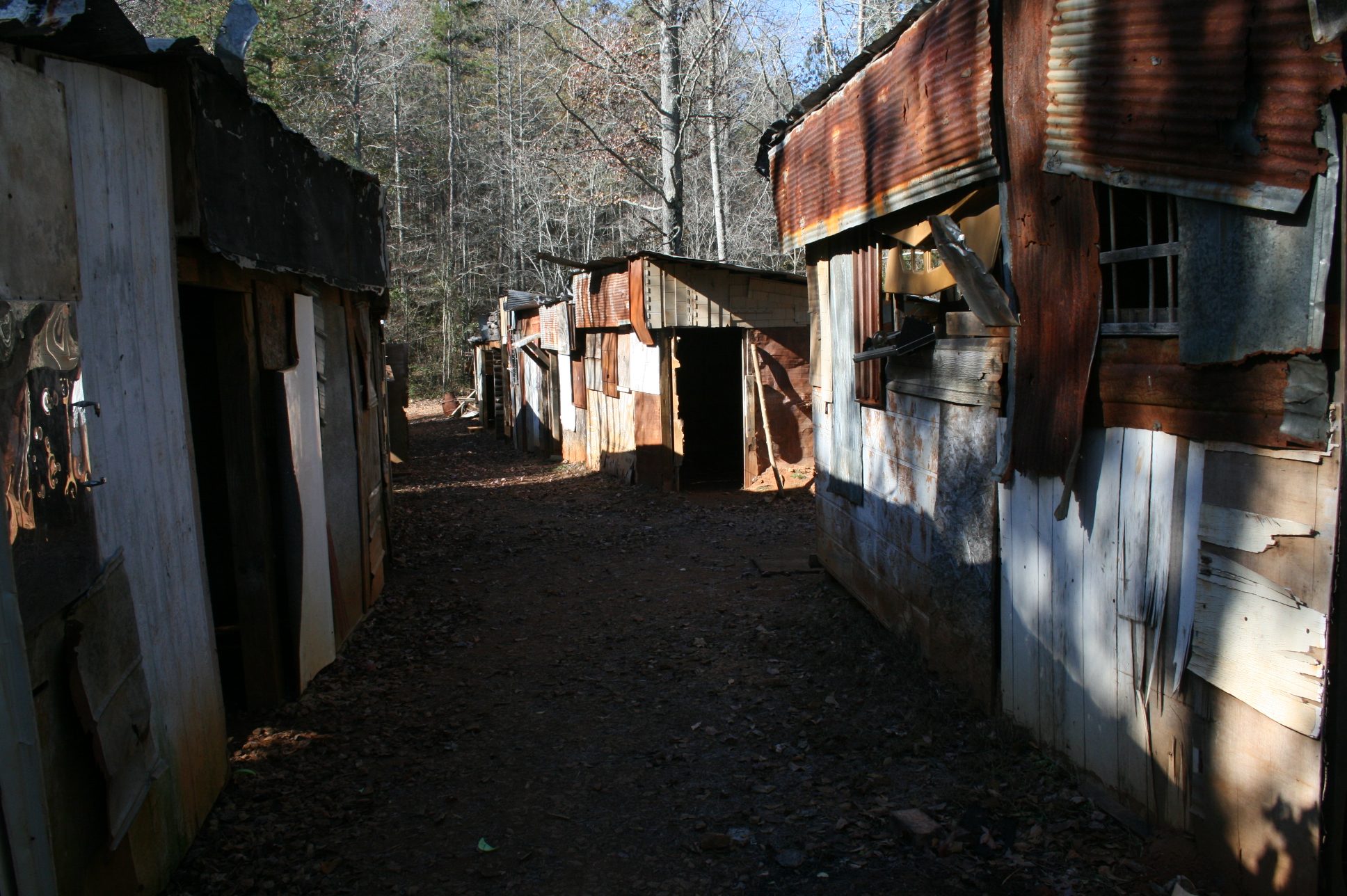
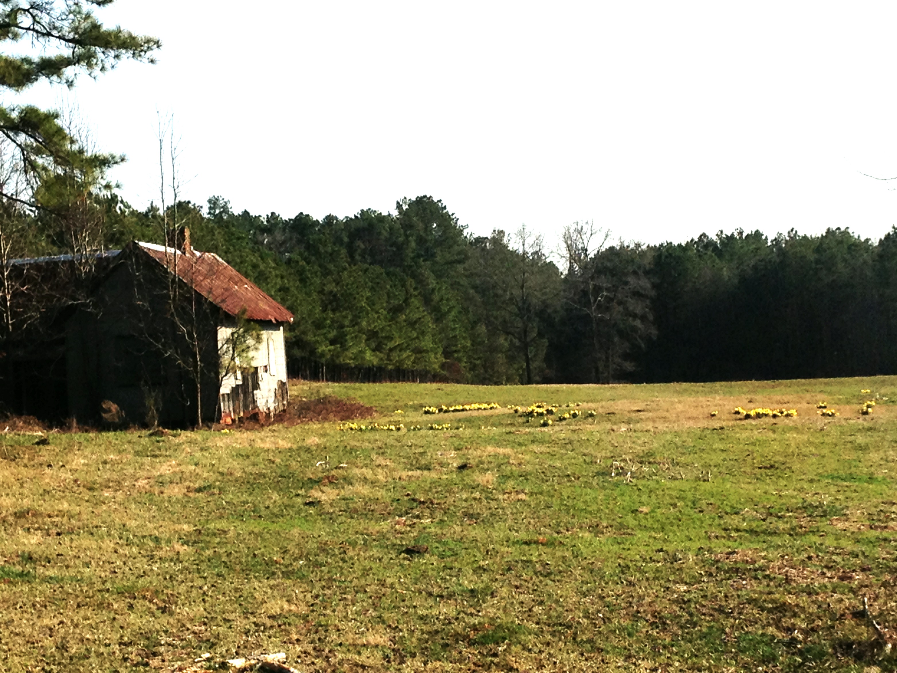
Shanty town scene
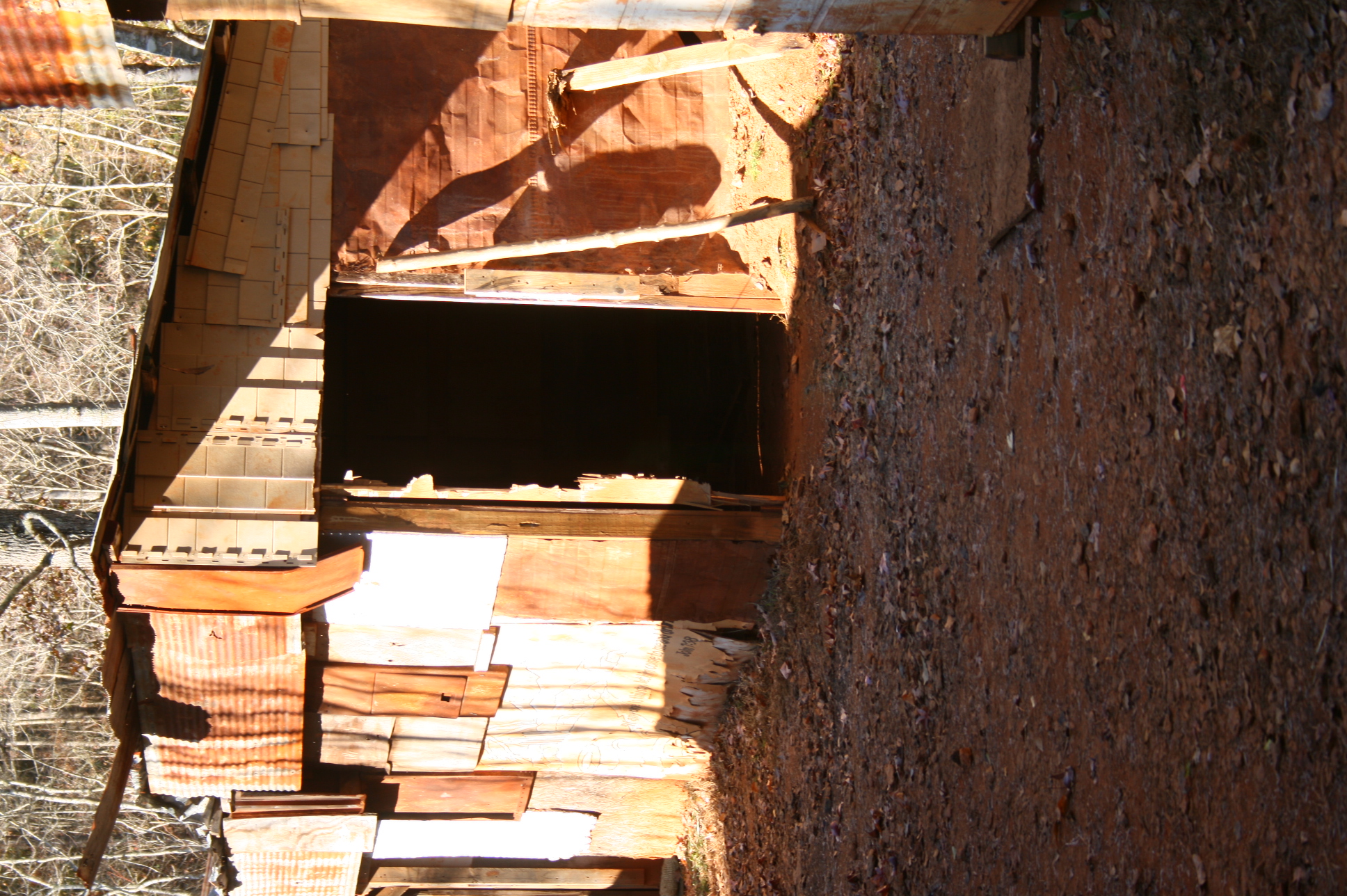
Shanty town scene
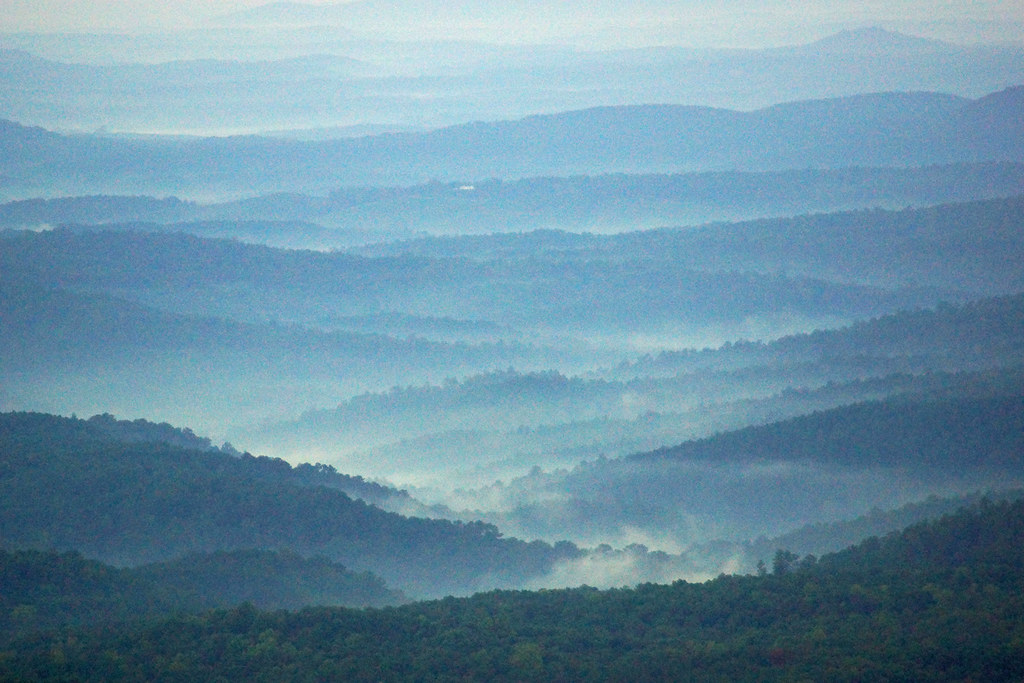
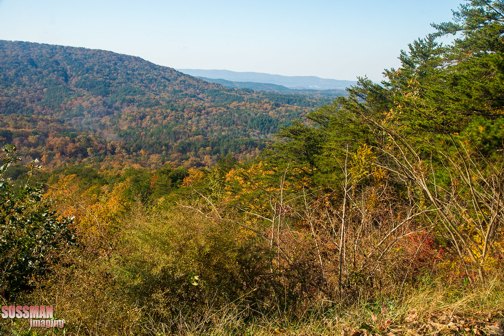
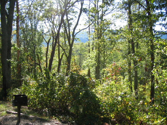
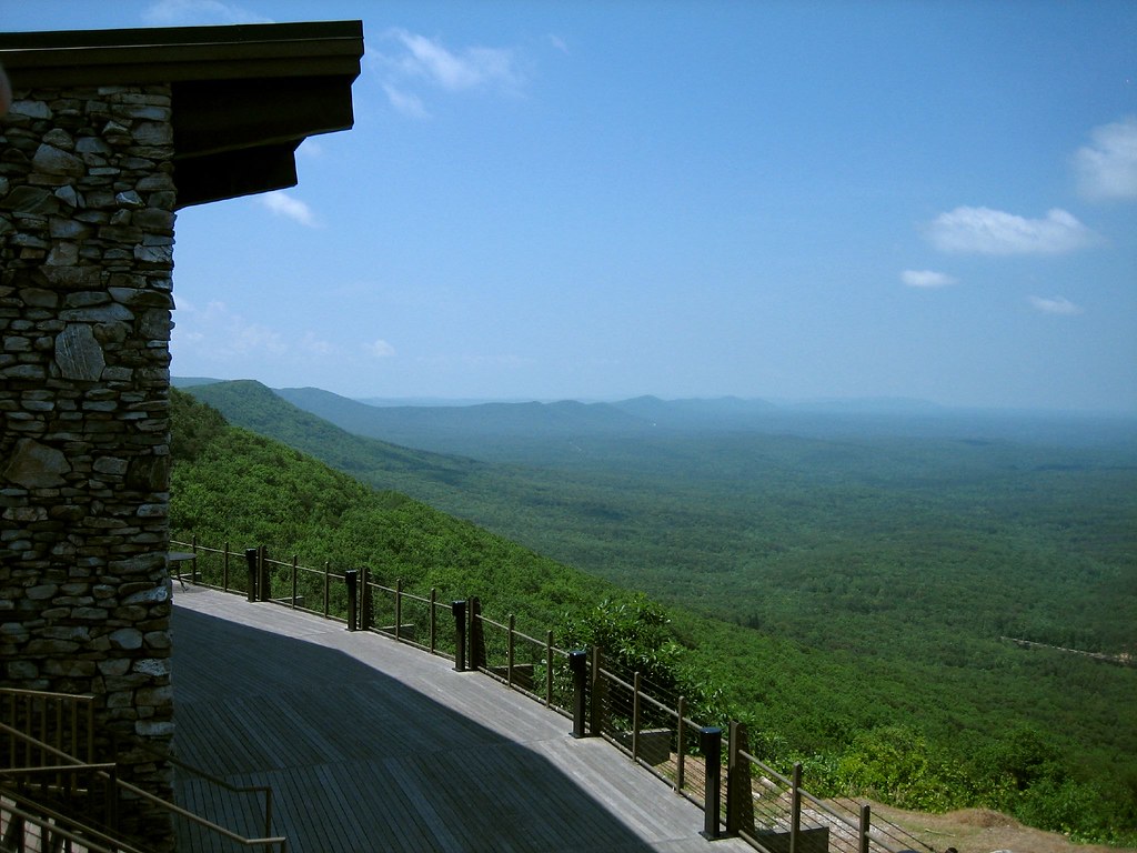
View from Chehaha Lodge
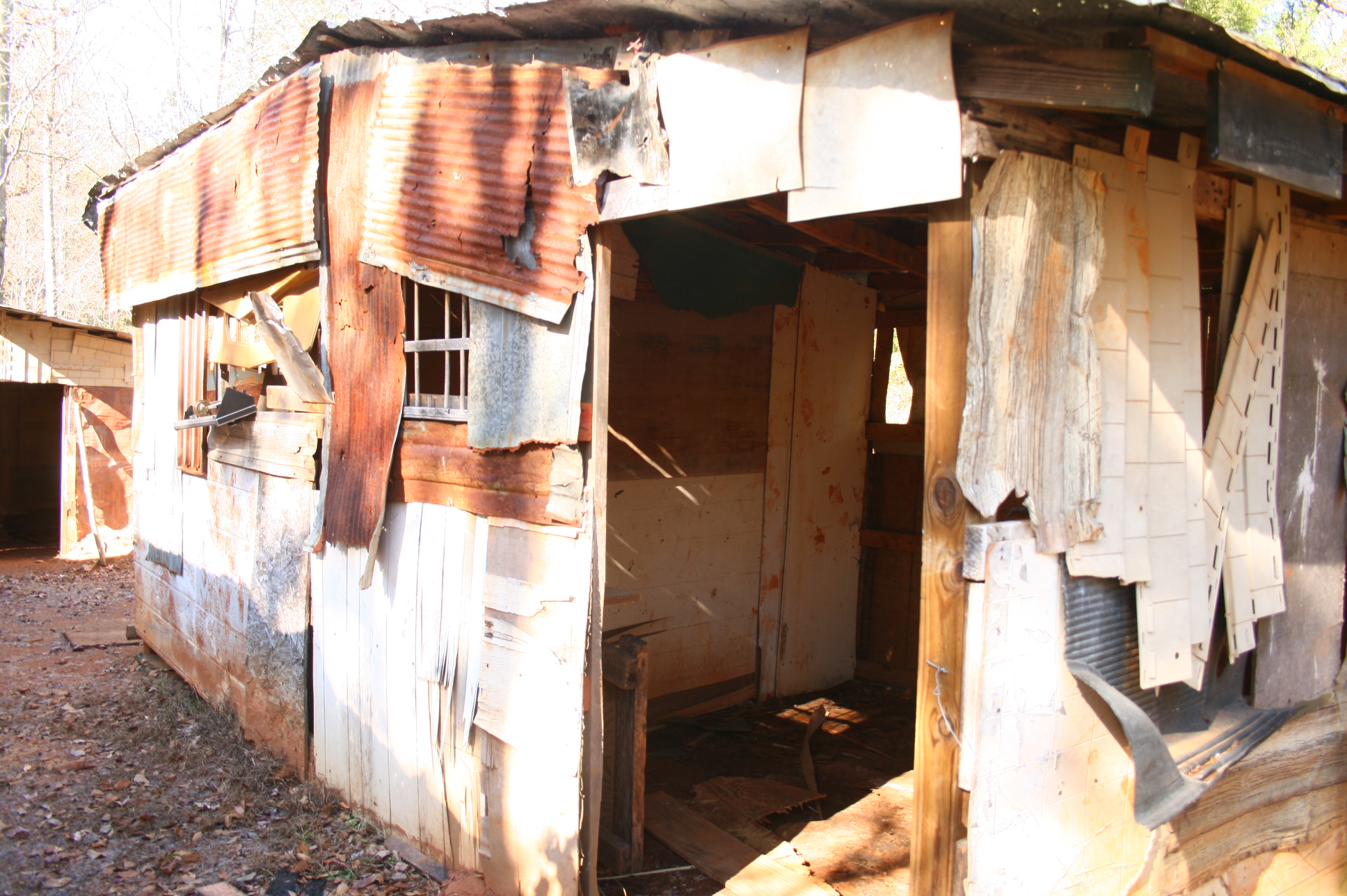
Shanty town scene
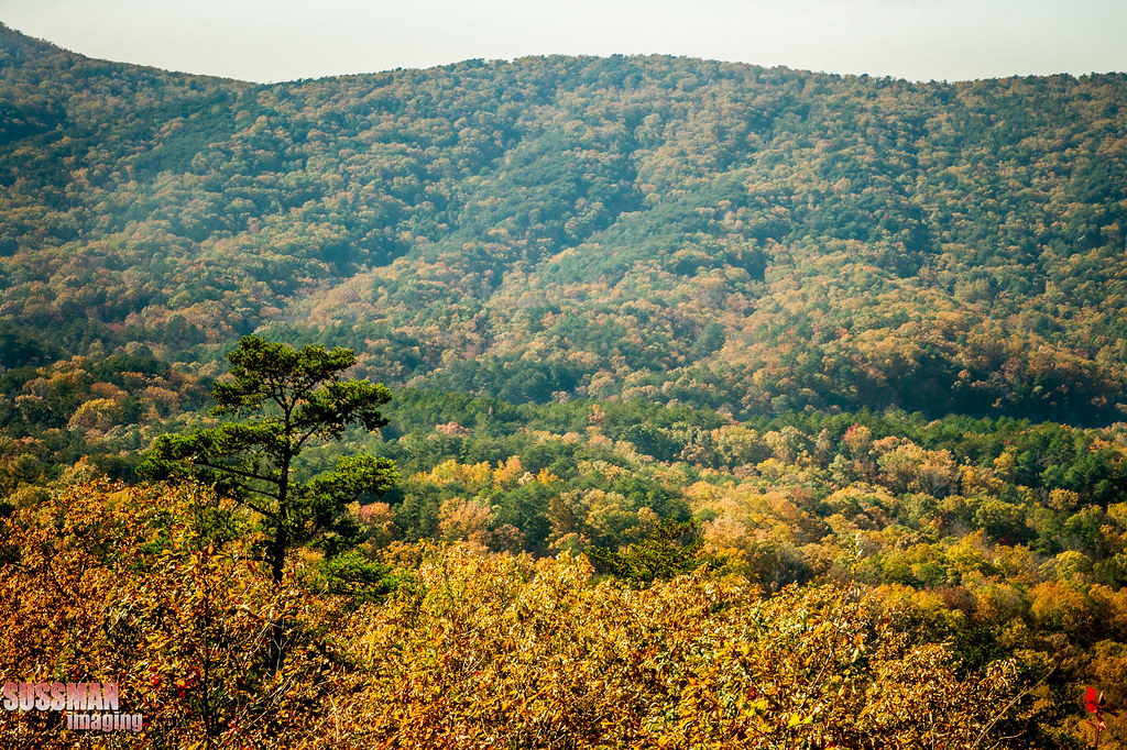
Cheaha Mountain, Cleburne County (Ala.), 28 December 1999
Cheaha Mountain, Cleburne County (Ala.), 28 December 1999

Cheaha Mountain State Park, Alabama
Road to Cheaha Mountain Alabama
Picture 045

photo #39
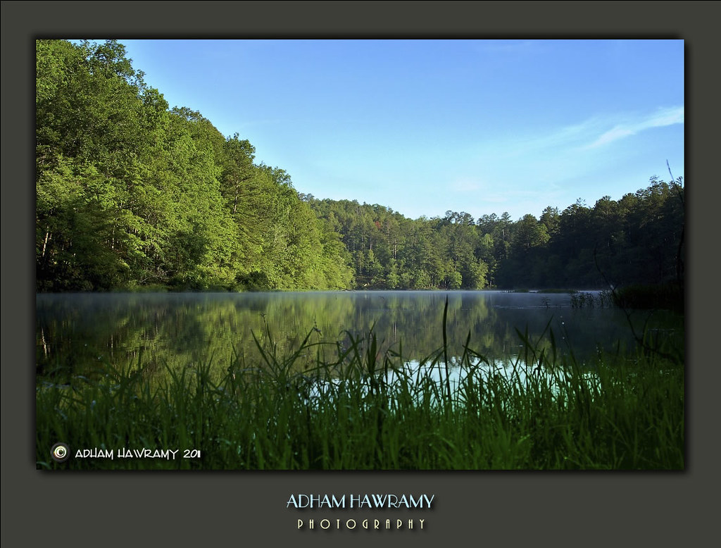
center hill lake, closed to the public/"every world"
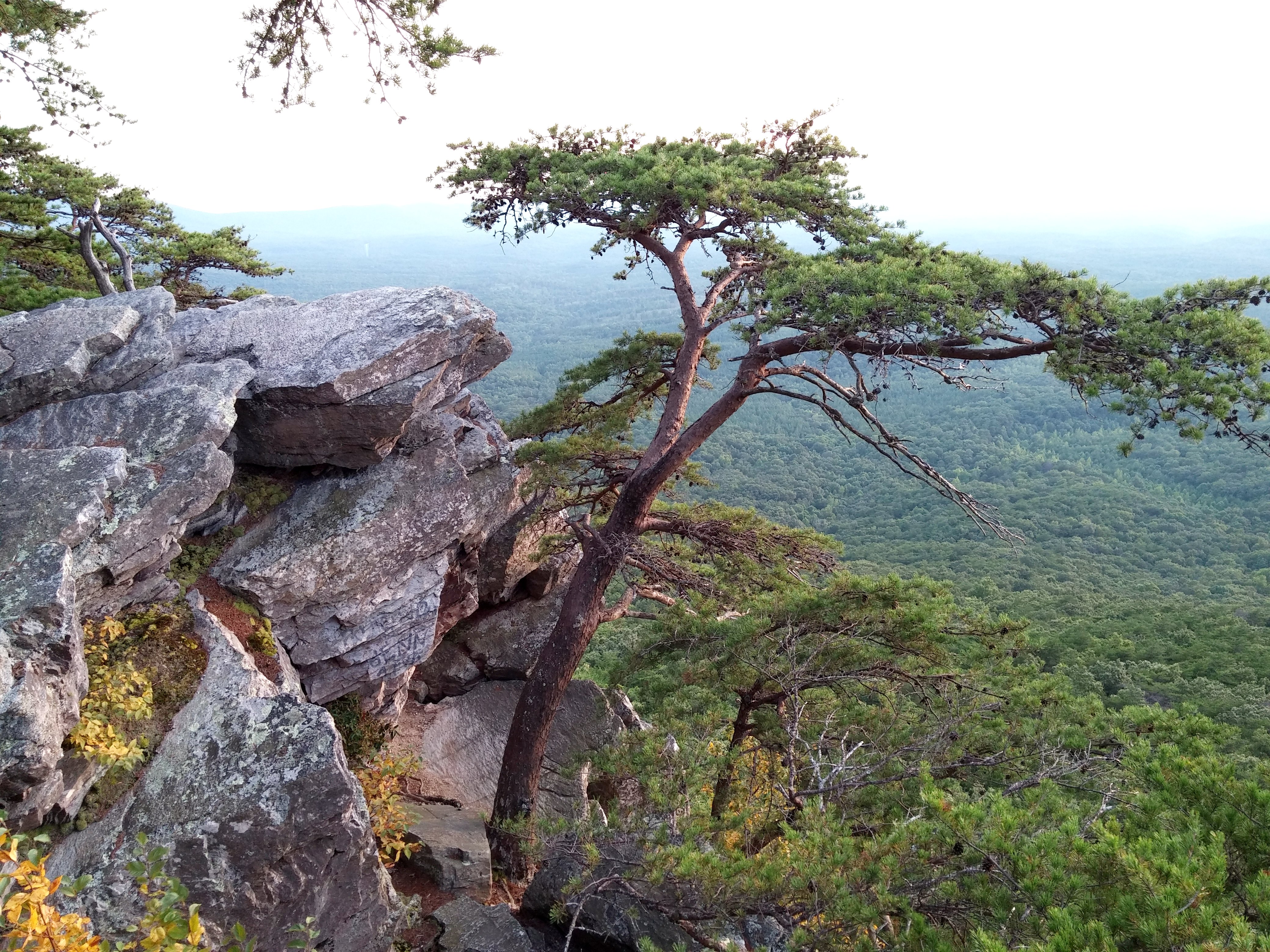
Tree near Pulpit Rock with one of the best views in Alabama

Cheaha Mountain State Park, Alabama
Cheaha Mountain State Park, Alabama
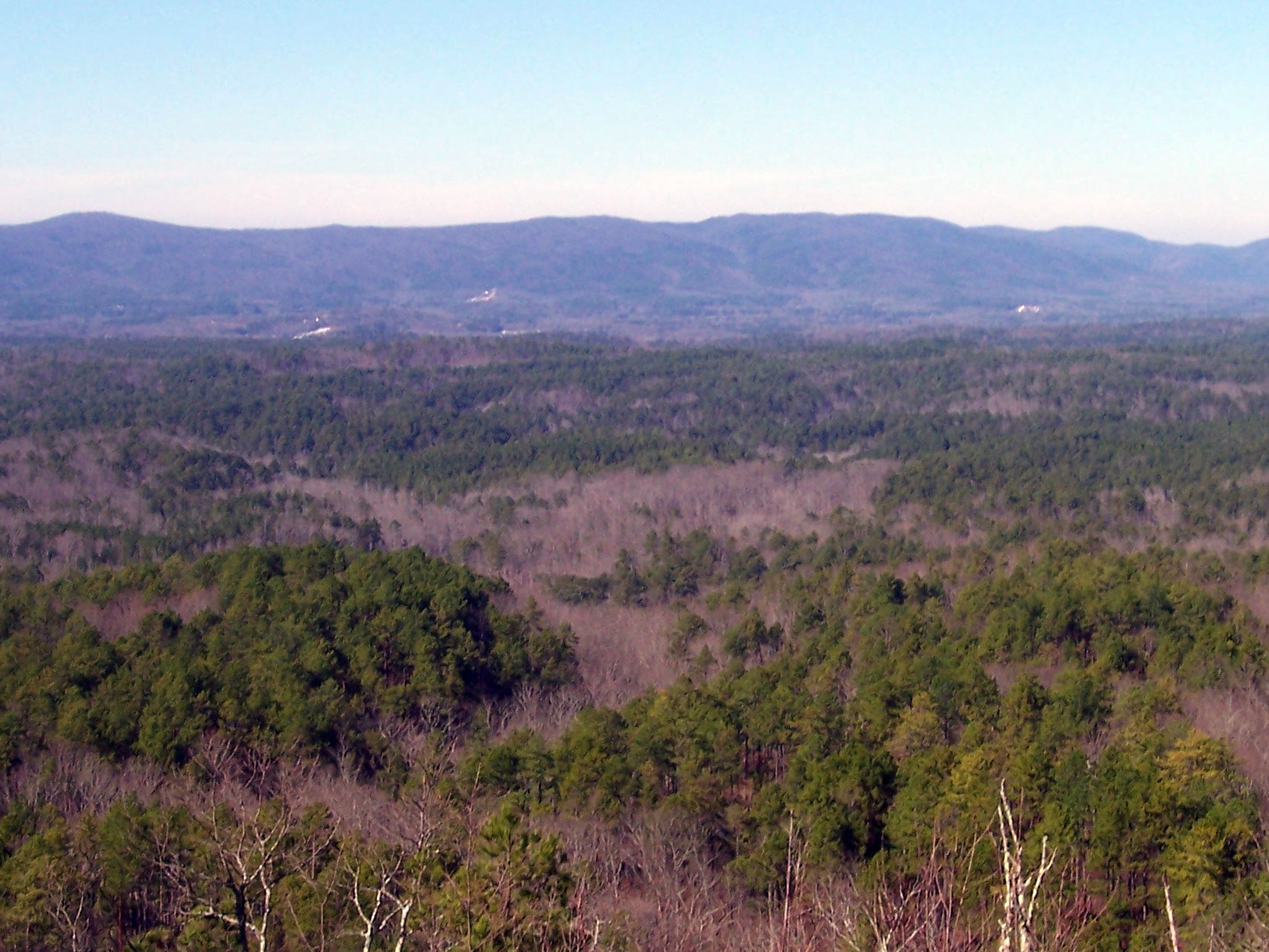
View from atop Mt Cheaha
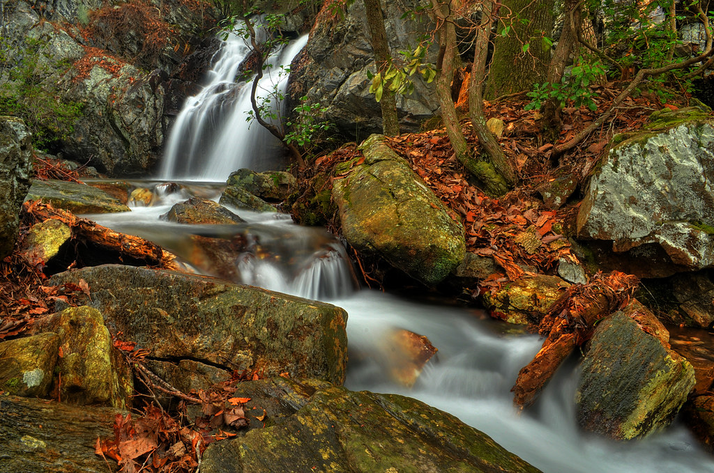
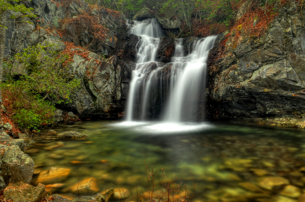
High Falls
HighFalls-56

Canopy of fall colors
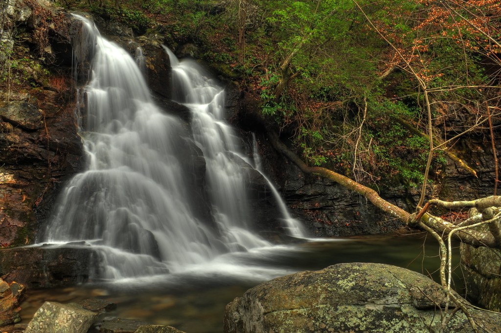
High falls
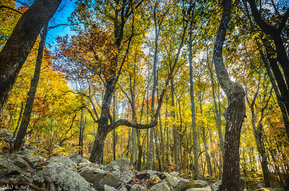
Alabama Autumn #6

2013-07-26-12-08-11_CRS7405 - Version 2 (1)
Fall in the mountains
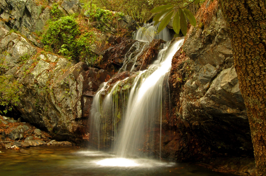
High Falls
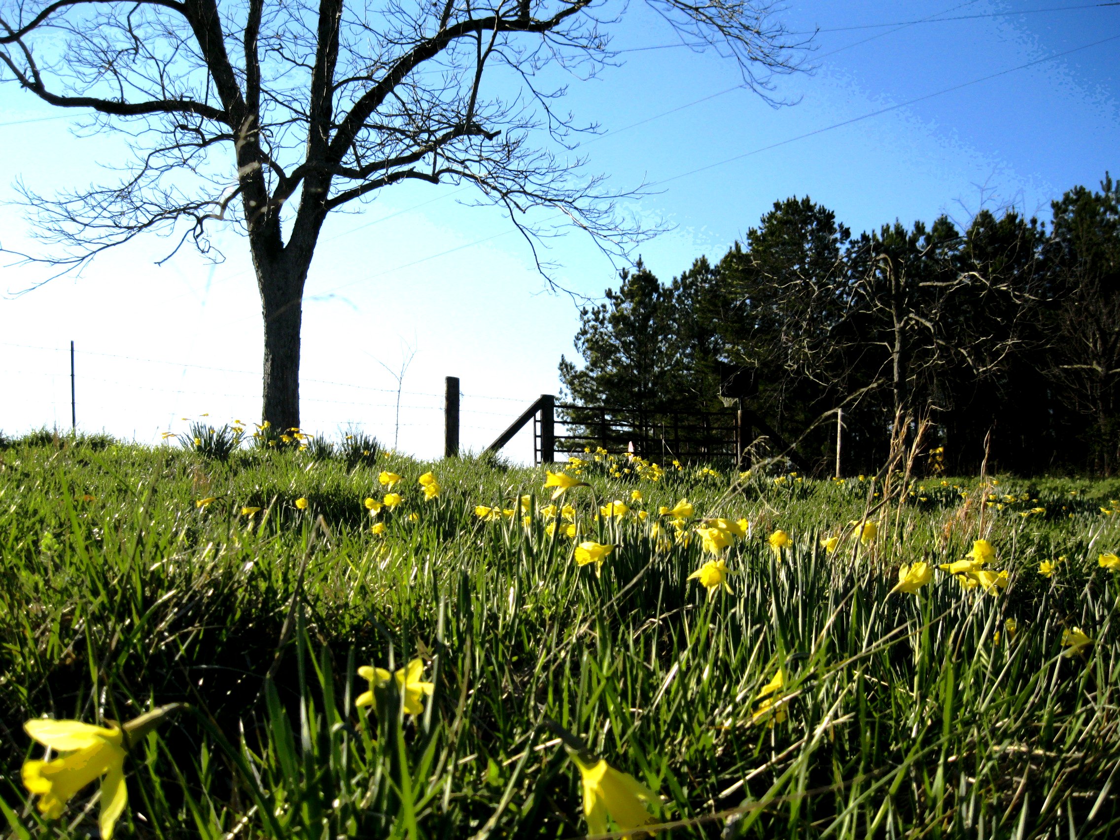
A Cool Morning At Cheaha State Park, AL

Sun Peeks Through
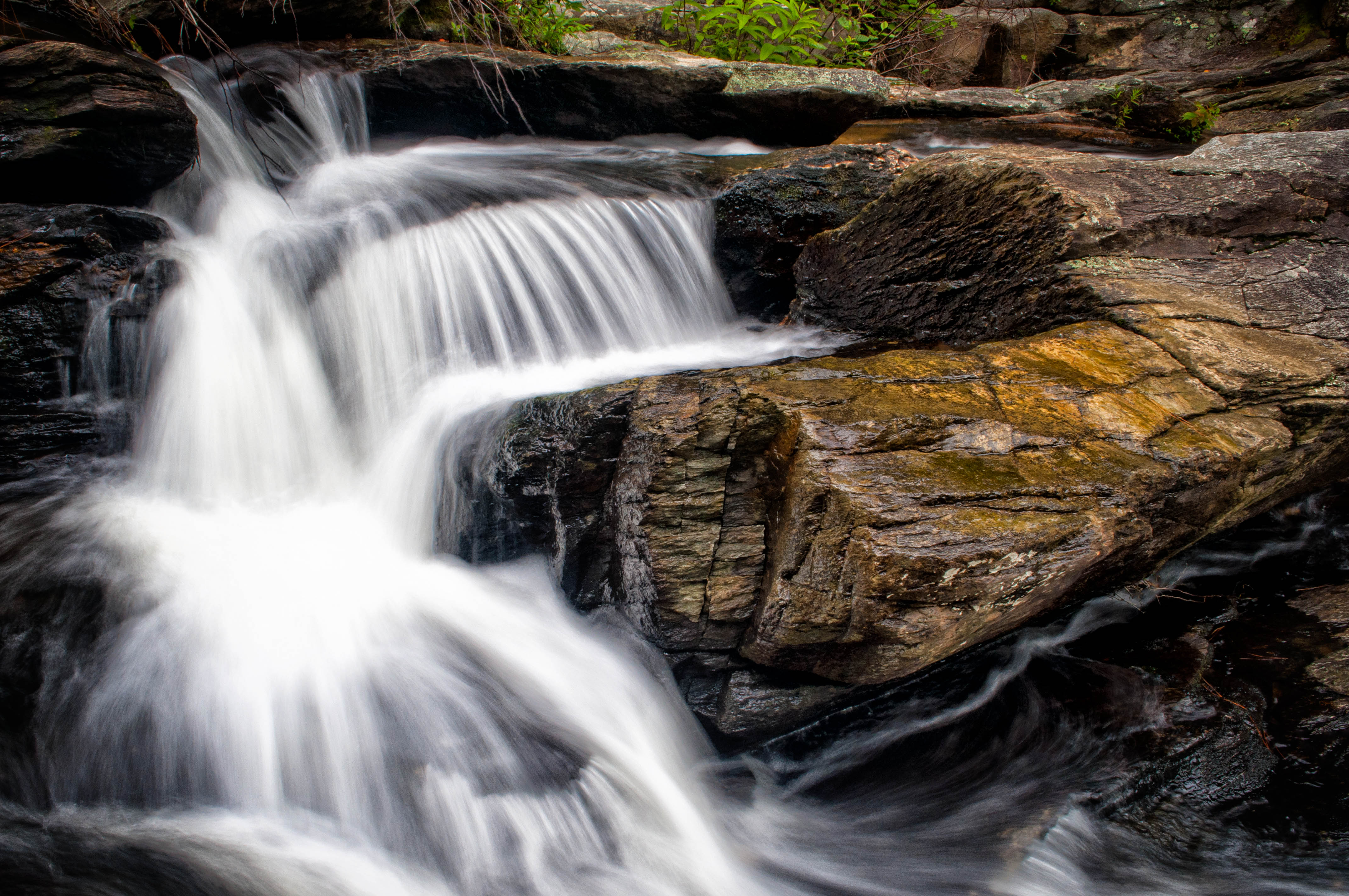
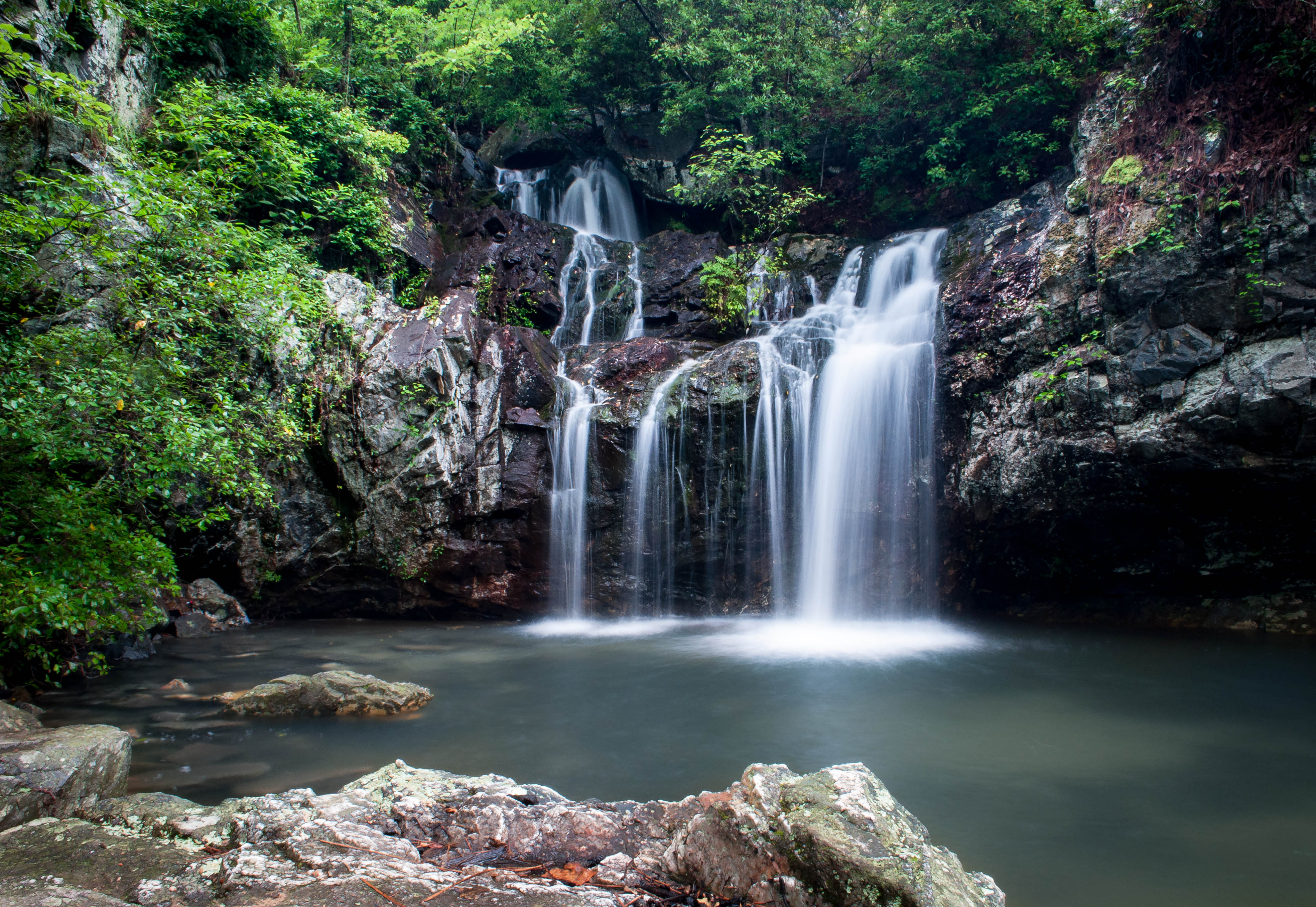
Above Cheaha Falls
Upper High Falls
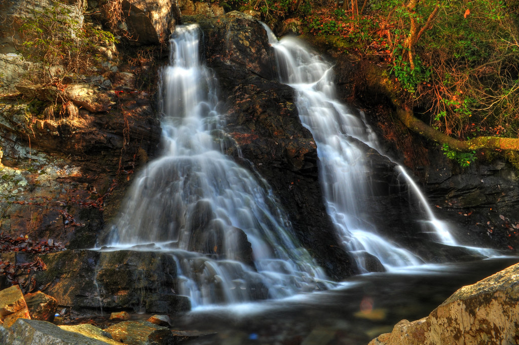
The Twins of High Falls

High Falls Cascades
always, for you, home
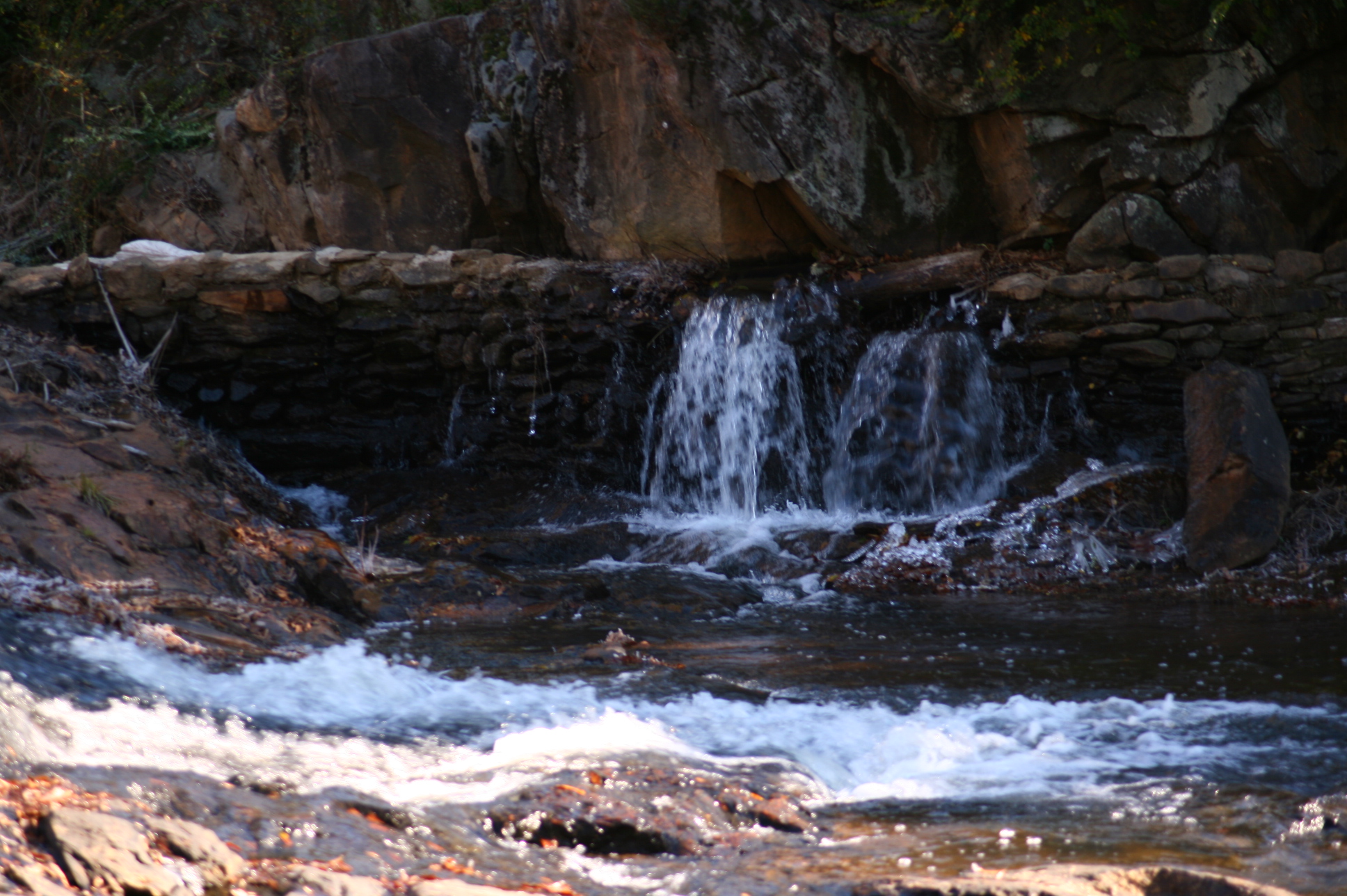
Mad Indian Creek
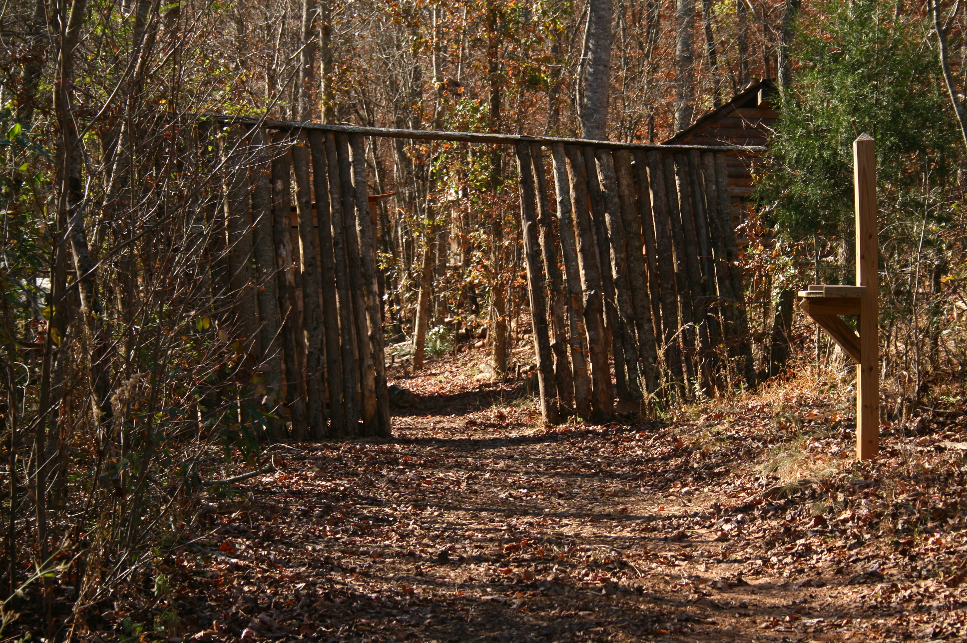
Entrance to village
Topographic Map of AL-9, Lineville, AL, USA
Find elevation by address:

Places near AL-9, Lineville, AL, USA:
1015 Prairie Creek Rd
Lineville
AL-9, Lineville, AL, USA
383 Shiloh Church Road
383 Shiloh Church Road
Delta
1043 Shiloh Church Road
3893 Co Rd 11
2388 Co Rd 129
2388 Co Rd 129
Randolph County
41 Co Rd 406
County Road 13
16 Boiling Springs Rd, Oxford, AL, USA
7841 Old U.s. 431
Wedowee
2099 Co Rd 12
Co Rd 13, Heflin, AL, USA
Co Rd 43, Wadley, AL, USA
Dearmanville Dr S, Anniston, AL, USA
Recent Searches:
- Elevation of Luther Road, Luther Rd, Auburn, CA, USA
- Elevation of Unnamed Road, Respublika Severnaya Osetiya — Alaniya, Russia
- Elevation of Verkhny Fiagdon, North Ossetia–Alania Republic, Russia
- Elevation of F. Viola Hiway, San Rafael, Bulacan, Philippines
- Elevation of Herbage Dr, Gulfport, MS, USA
- Elevation of Lilac Cir, Haldimand, ON N3W 2G9, Canada
- Elevation of Harrod Branch Road, Harrod Branch Rd, Kentucky, USA
- Elevation of Wyndham Grand Barbados Sam Lords Castle All Inclusive Resort, End of Belair Road, Long Bay, Bridgetown Barbados
- Elevation of Iga Trl, Maggie Valley, NC, USA
- Elevation of N Co Rd 31D, Loveland, CO, USA