Elevation of US-78 & Town Creek Rd, Heflin, AL, USA
Location: United States > Alabama > Cleburne County > Heflin >
Longitude: -85.601303
Latitude: 33.640999
Elevation: 268m / 879feet
Barometric Pressure: 98KPa
Elevation Map:
Satellite Map:
Related Photos:
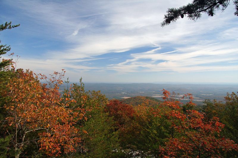
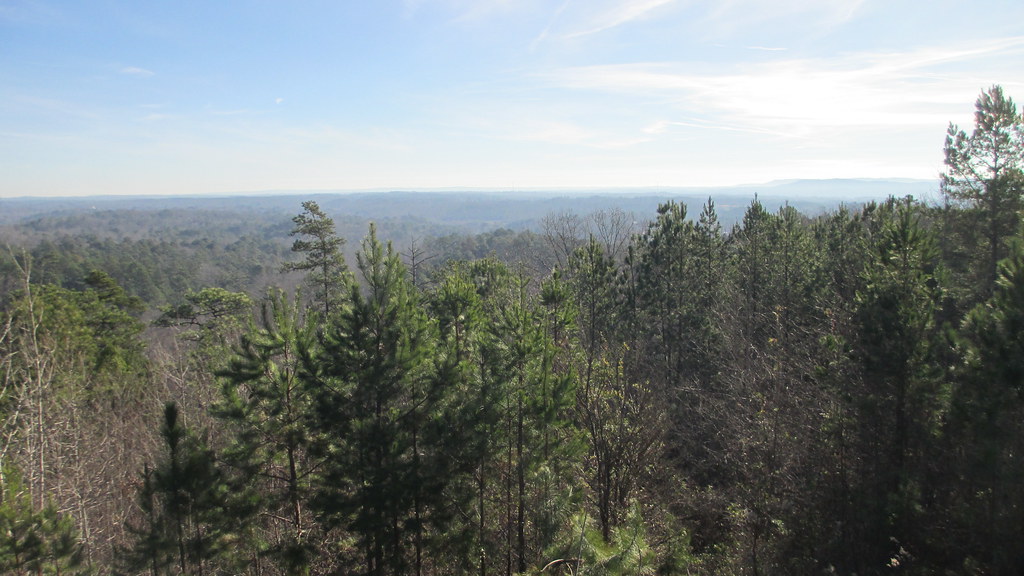
Moorehead Mountain
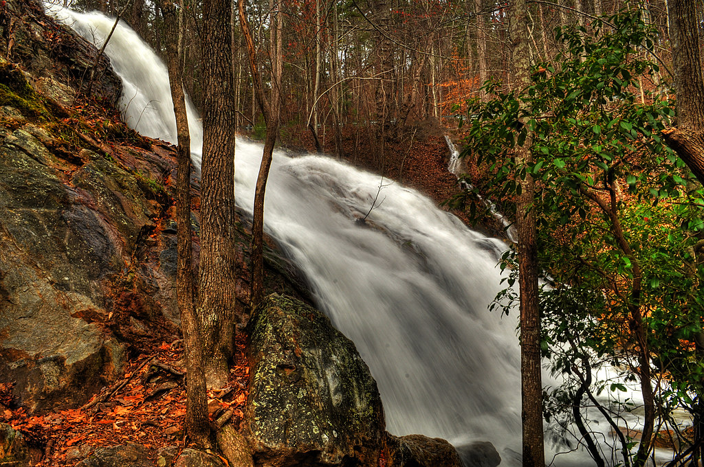
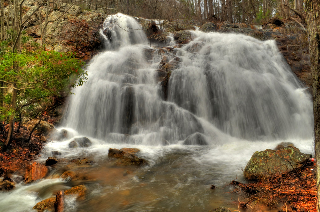
Bains Gap Falls
Bains Gap
Bains Gap Moorehead Mountain
Bains Gap
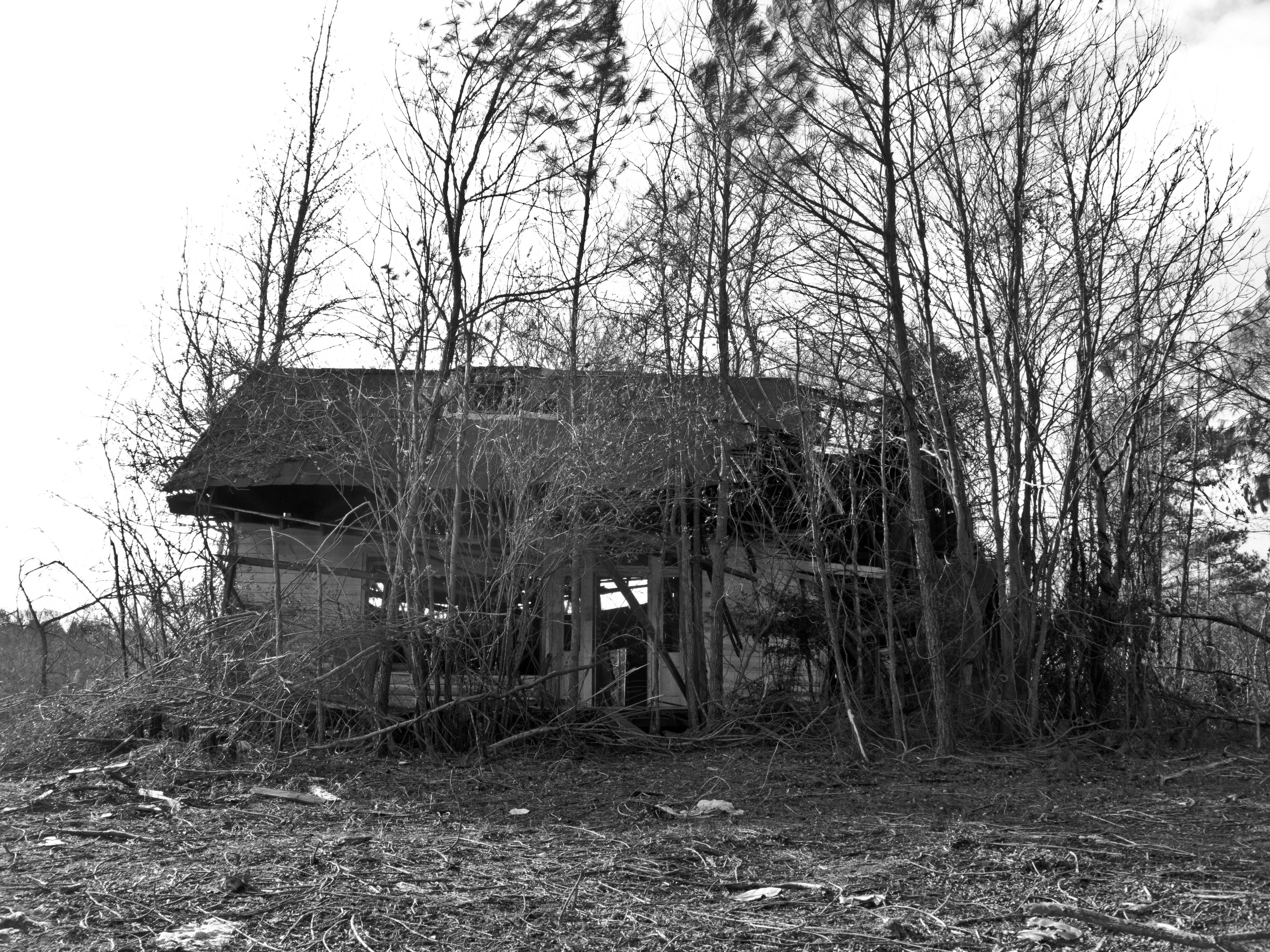
Across the Street
Front View
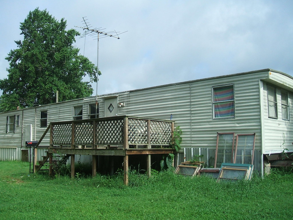
House Trailer Front Right
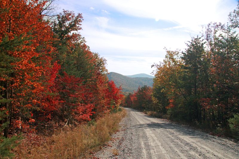
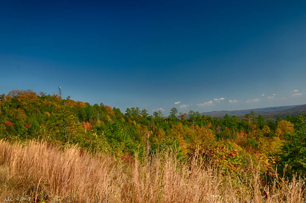
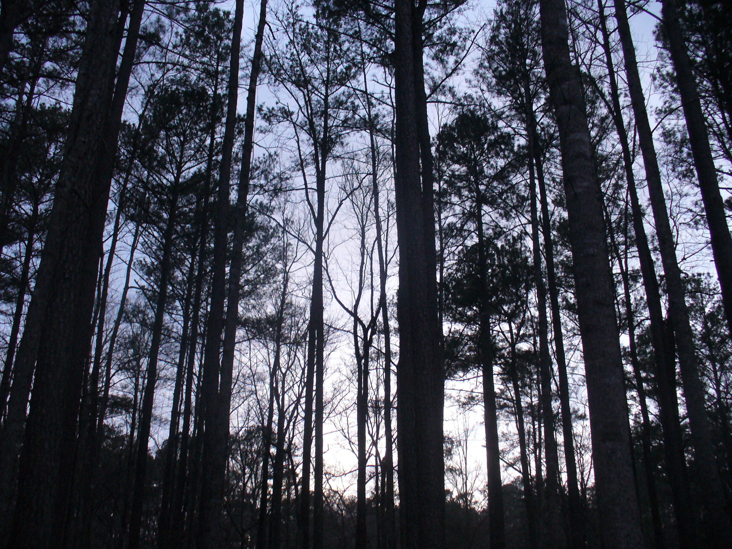
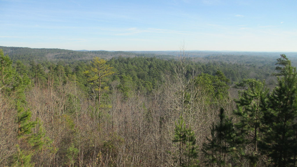
Alabama Blue Ridge Mountains (Cleburne County, Alabama)
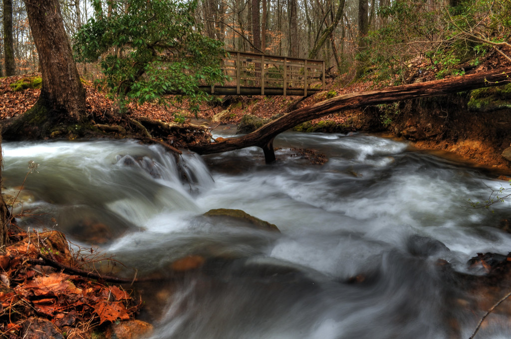
Bridge over Bains Gap Creek
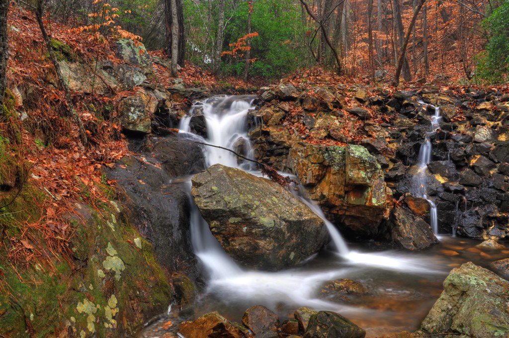
Lower Bains Gap Falls

TALLA-FN-DEGA
Bains Gap Falls
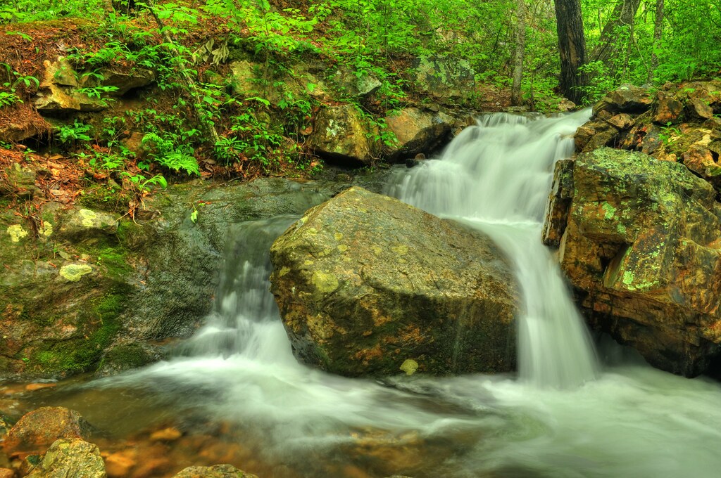
Bains Gap Falls
Camp Fasola - 2007
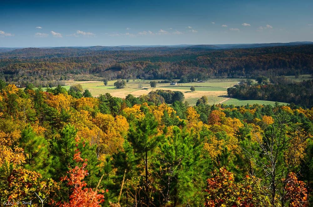
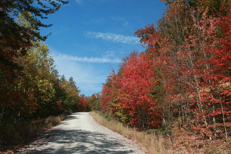
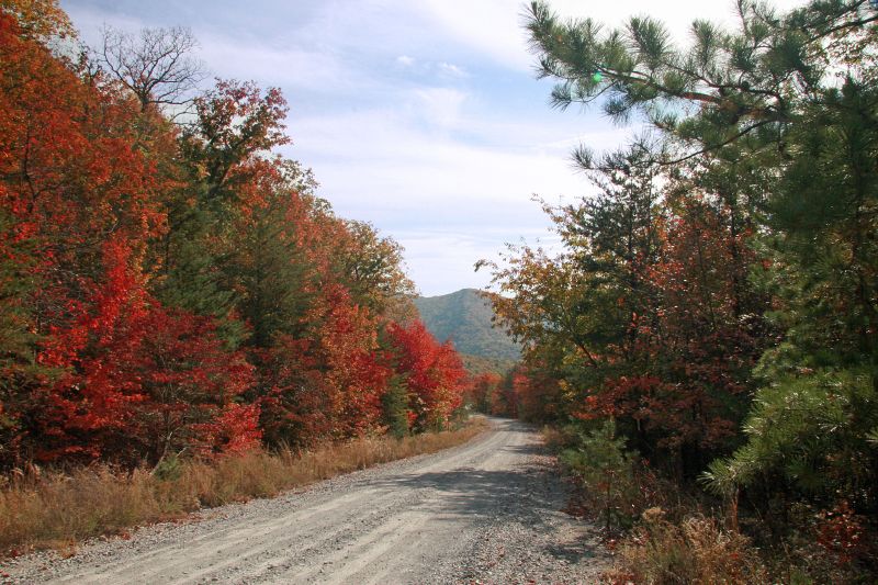
Alabama Autumn #3

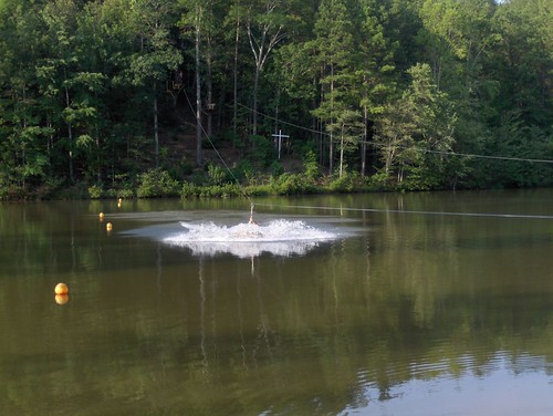
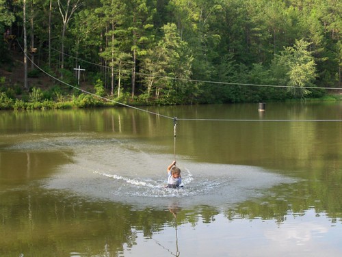
Lazy River 2, Heflin, AL
Alabama Autumn #2
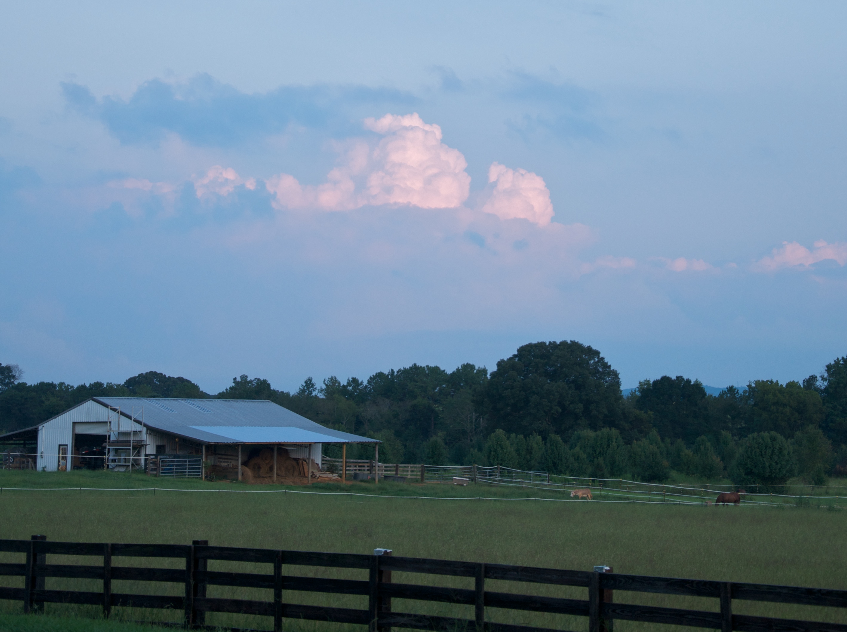
Light at dusk

Emily II
Camp Fasola - 2007
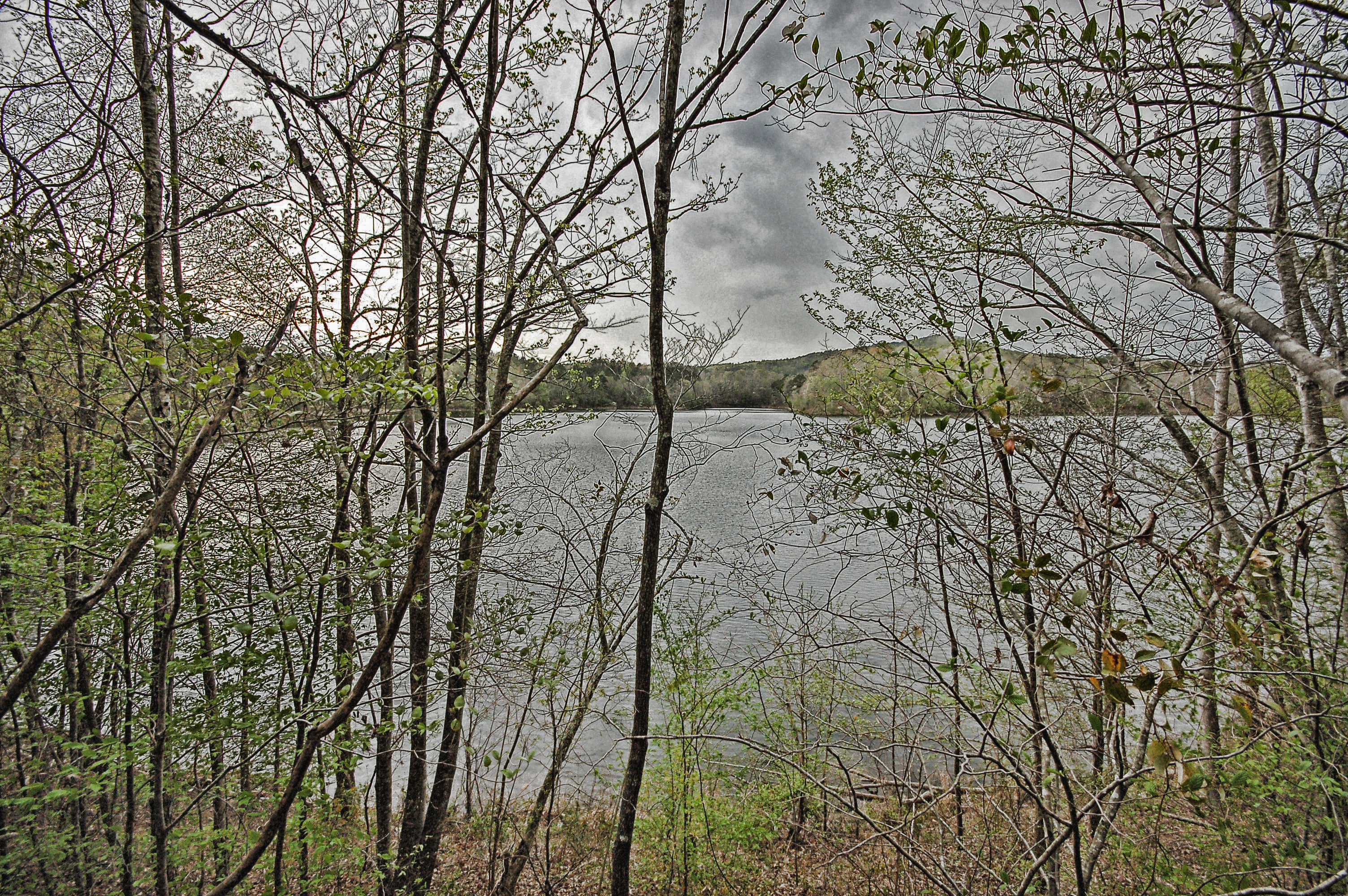
Hillibee Lake II

Alabama Blue Ridge Mountains (Cleburne County, Alabama)
Alabama Blue Ridge Mountains (Cleburne County, Alabama)
Camp Fasola - 2006
Alabama Blue Ridge Mountains (Cleburne County, Alabama)
Topographic Map of US-78 & Town Creek Rd, Heflin, AL, USA
Find elevation by address:

Places near US-78 & Town Creek Rd, Heflin, AL, USA:
Heflin
45 AL-, Heflin, AL, USA
Co Rd 13, Heflin, AL, USA
Mandy Ln, Anniston, AL, USA
County Road 13
Cleburne County
2838 Al-9
Chosea Springs Rd, Anniston, AL, USA
Choccolocco
3893 Co Rd 11
895 Avalon Ln
Choccolocco Rd, Anniston, AL, USA
AL-9, Anniston, AL, USA
Dearmanville Dr S, Anniston, AL, USA
1014 Edgewood Dr
Co Rd 71, Heflin, AL, USA
41 Co Rd 406
16 Boiling Springs Rd, Oxford, AL, USA
63 Co Rd, Heflin, AL, USA
1043 Shiloh Church Road
Recent Searches:
- Elevation of Tenjo, Cundinamarca, Colombia
- Elevation of Côte-des-Neiges, Montreal, QC H4A 3J6, Canada
- Elevation of Bobcat Dr, Helena, MT, USA
- Elevation of Zu den Ihlowbergen, Althüttendorf, Germany
- Elevation of Badaber, Peshawar, Khyber Pakhtunkhwa, Pakistan
- Elevation of SE Heron Loop, Lincoln City, OR, USA
- Elevation of Slanický ostrov, 01 Námestovo, Slovakia
- Elevation of Spaceport America, Co Rd A, Truth or Consequences, NM, USA
- Elevation of Warwick, RI, USA
- Elevation of Fern Rd, Whitmore, CA, USA