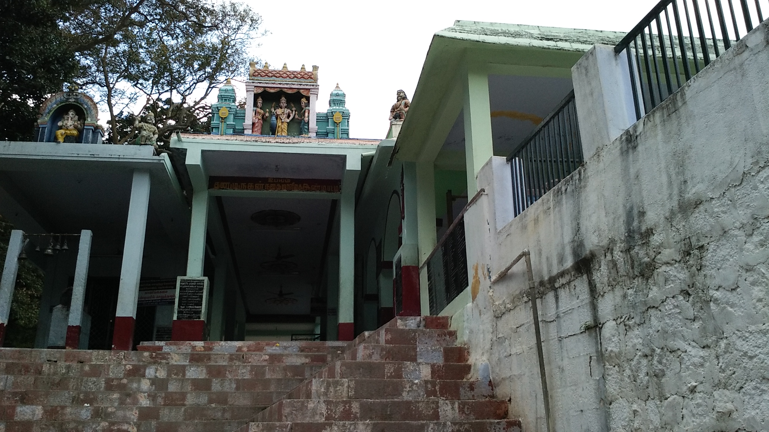
Elevation of Sathuragiri Shri Sundara Mahalingam Temple, Saptur R.F., Tamil Nadu, India
Location: India > Tamil Nadu > Madurai > Saptur R.f. >
Longitude: 77.6521618
Latitude: 9.7345707
Elevation: 887m / 2910feet
Barometric Pressure: 91KPa
Elevation Map:
Satellite Map:
Related Photos:

sunrays

serene

divine

Landscape

Madurai-Thekkady.

Madurai-Thekkady.

my family

my family

my family

my family

my family
my family

my family

my family

my family

my family

my family

my family

my family

my family

my family

my family

my family

my family

my family
Topographic Map of Sathuragiri Shri Sundara Mahalingam Temple, Saptur R.F., Tamil Nadu, India
Find elevation by address:

Places near Sathuragiri Shri Sundara Mahalingam Temple, Saptur R.F., Tamil Nadu, India:
Sathuragiri Hills
Saptur R.f.
Watrap
Sedapatti
T.kallupatti
Srivilliputhur
Meghamalai View Point
Megamalai
Chinnamanur
Rajapalayam
Highwavys Dam
Highways
Highways Hospital
Sivakasi
Virudhunagar Government Hospital Icu Unit
Tirumangalam
Virudhunagar
Virudhunagar
Vembakottai
Sattur
Recent Searches:
- Elevation of 4 Vale Rd, Sheffield S3 9QX, UK
- Elevation of Keene Point Drive, Keene Point Dr, Grant, AL, USA
- Elevation of State St, Zanesville, OH, USA
- Elevation of Austin Stone Dr, Haslet, TX, USA
- Elevation of Bydgoszcz, Poland
- Elevation of Bydgoszcz, Poland
- Elevation of Calais Dr, Del Mar, CA, USA
- Elevation of Placer Mine Ln, West Jordan, UT, USA
- Elevation of E 63rd St, New York, NY, USA
- Elevation of Elk City, OK, USA