Elevation of Highwavys Dam, Megamalai, Tamil Nadu
Location: India > Tamil Nadu > Theni > Megamalai >
Longitude: 77.3622315
Latitude: 9.6491054
Elevation: 1503m / 4931feet
Barometric Pressure: 85KPa
Elevation Map:
Satellite Map:
Related Photos:

Meghamalai,Tamilnadu

Crowded bus in small town

Panorama #green #mountain #wide #rice #greenland #view

Roll world ????
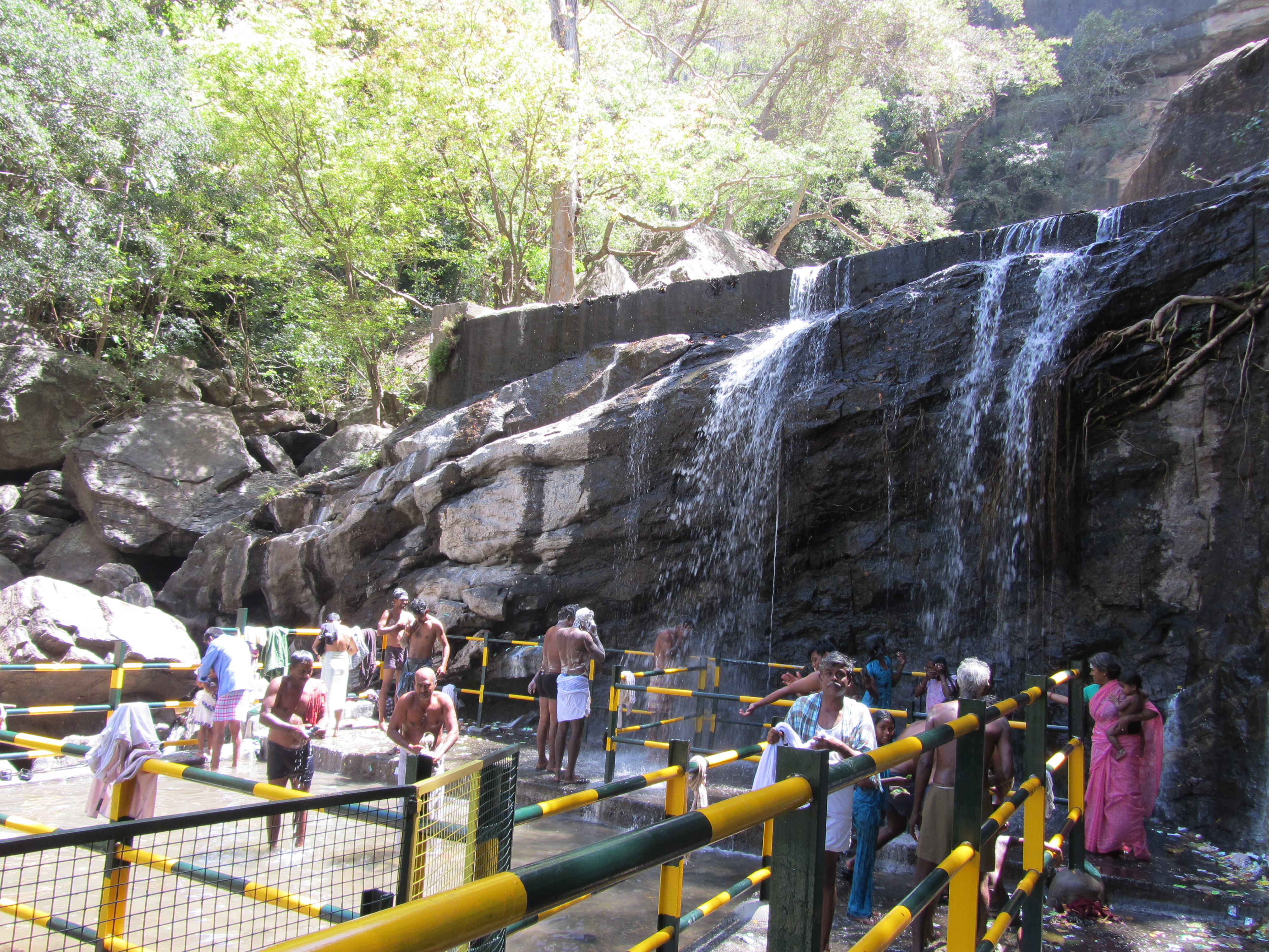
Churuli Falls

Shanmuganathi Dam

Full sized rainbow ???? #iPhoneography #Cropic #colours #coloursofnature #sky #instalove #picoftheday #rendering #nature #psy #throwback

.

.

Scenes from my native, Have anyone heard about Cumbum valley.

Sunflower Fields ???? #Cropic #sunflower #fields #yellow #macro #landscape #iPhoneography #details #sharpness #instapic #instalove #love #peace

2014-09-08_09-56-36
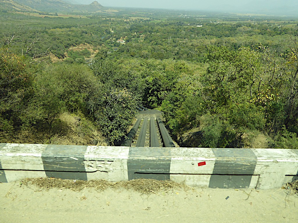
Hydroelectric water pipes near Vettukadu

Manalar Dam Falls

Rice Field

Rice Field

Rice Field

Chili Plantation

Rice Field

Rice Field

Rice Field

Rice Field
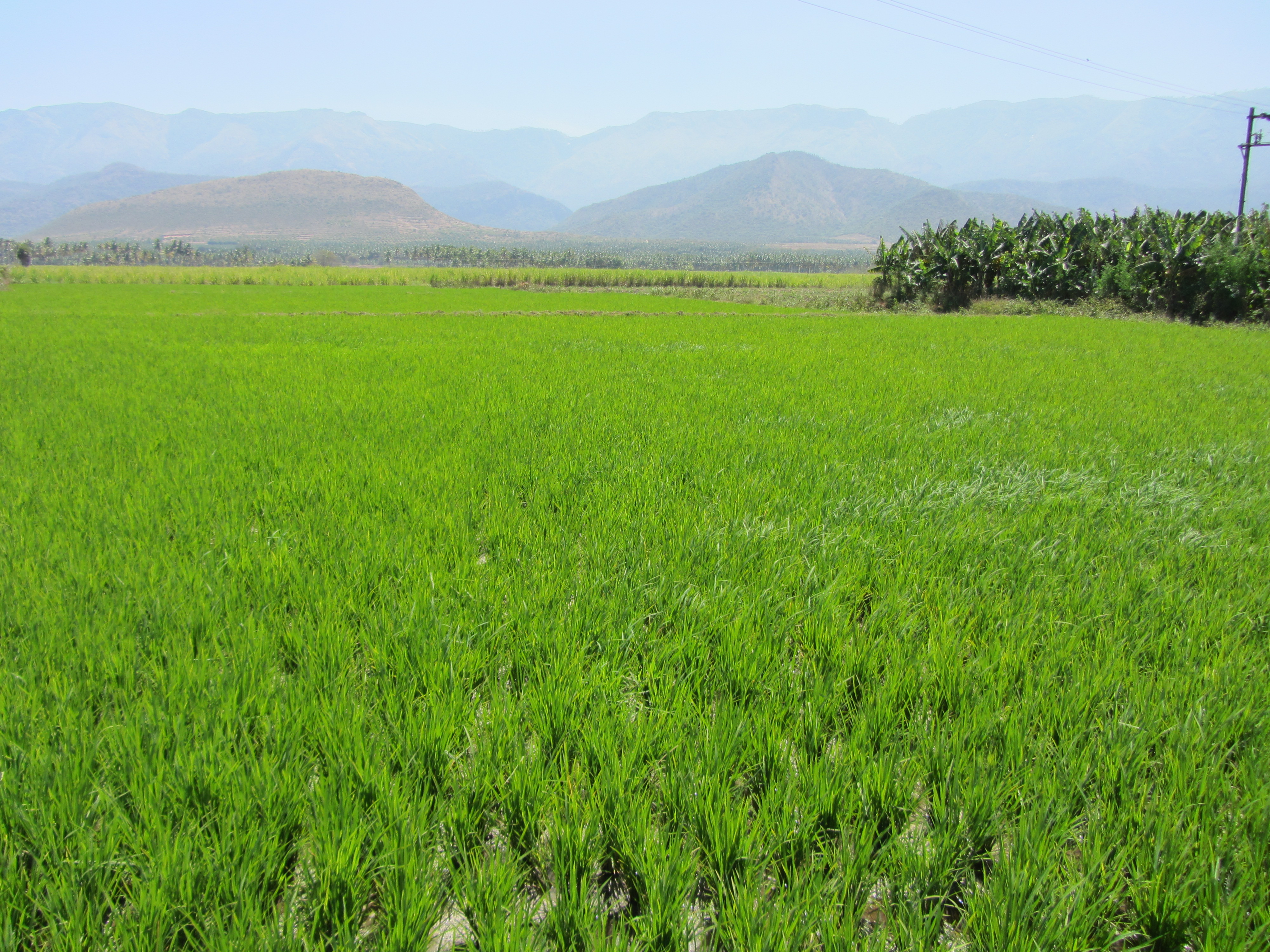
Rice Field

Rice Field
Topographic Map of Highwavys Dam, Megamalai, Tamil Nadu
Find elevation by address:

Places near Highwavys Dam, Megamalai, Tamil Nadu:
Highways
Highways Hospital
Megamalai
Meghamalai View Point
Chinnamanur
Saptur R.f.
Rajapalayam
Sathuragiri Hills
Watrap
Sathuragiri Shri Sundara Mahalingam Temple
Srivilliputhur
Sedapatti
Sivakasi
T.kallupatti
Sankarankovil
Vembakottai
Virudhunagar
Kuruvikulam
Kadayanallur
Ramanathapuram
Recent Searches:
- Elevation of NY-, Friendship, NY, USA
- Elevation of 64 Danakas Dr, Winnipeg, MB R2C 5N7, Canada
- Elevation of 4 Vale Rd, Sheffield S3 9QX, UK
- Elevation of Keene Point Drive, Keene Point Dr, Grant, AL, USA
- Elevation of State St, Zanesville, OH, USA
- Elevation of Austin Stone Dr, Haslet, TX, USA
- Elevation of Bydgoszcz, Poland
- Elevation of Bydgoszcz, Poland
- Elevation of Calais Dr, Del Mar, CA, USA
- Elevation of Placer Mine Ln, West Jordan, UT, USA