Elevation of T.Kallupatti, Tamil Nadu, India
Location: India > Tamil Nadu > Madurai >
Longitude: 77.8553089
Latitude: 9.7213623
Elevation: 144m / 472feet
Barometric Pressure: 100KPa
Elevation Map:
Satellite Map:
Related Photos:

Bloom Time (Another View)

CSP_5116.JPG

CSP_5117.JPG

CSP_5118.JPG
02072011079
04052011019

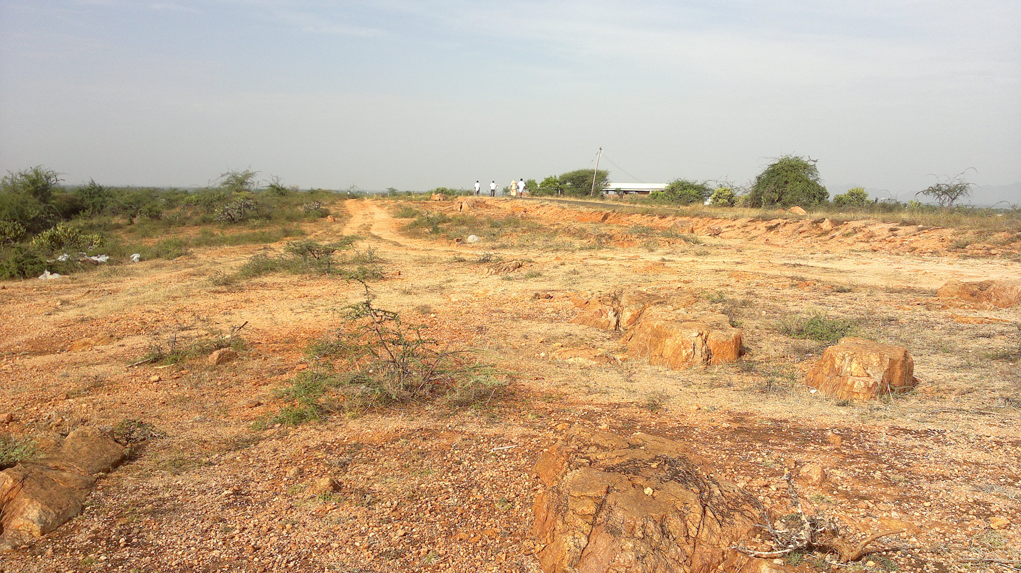
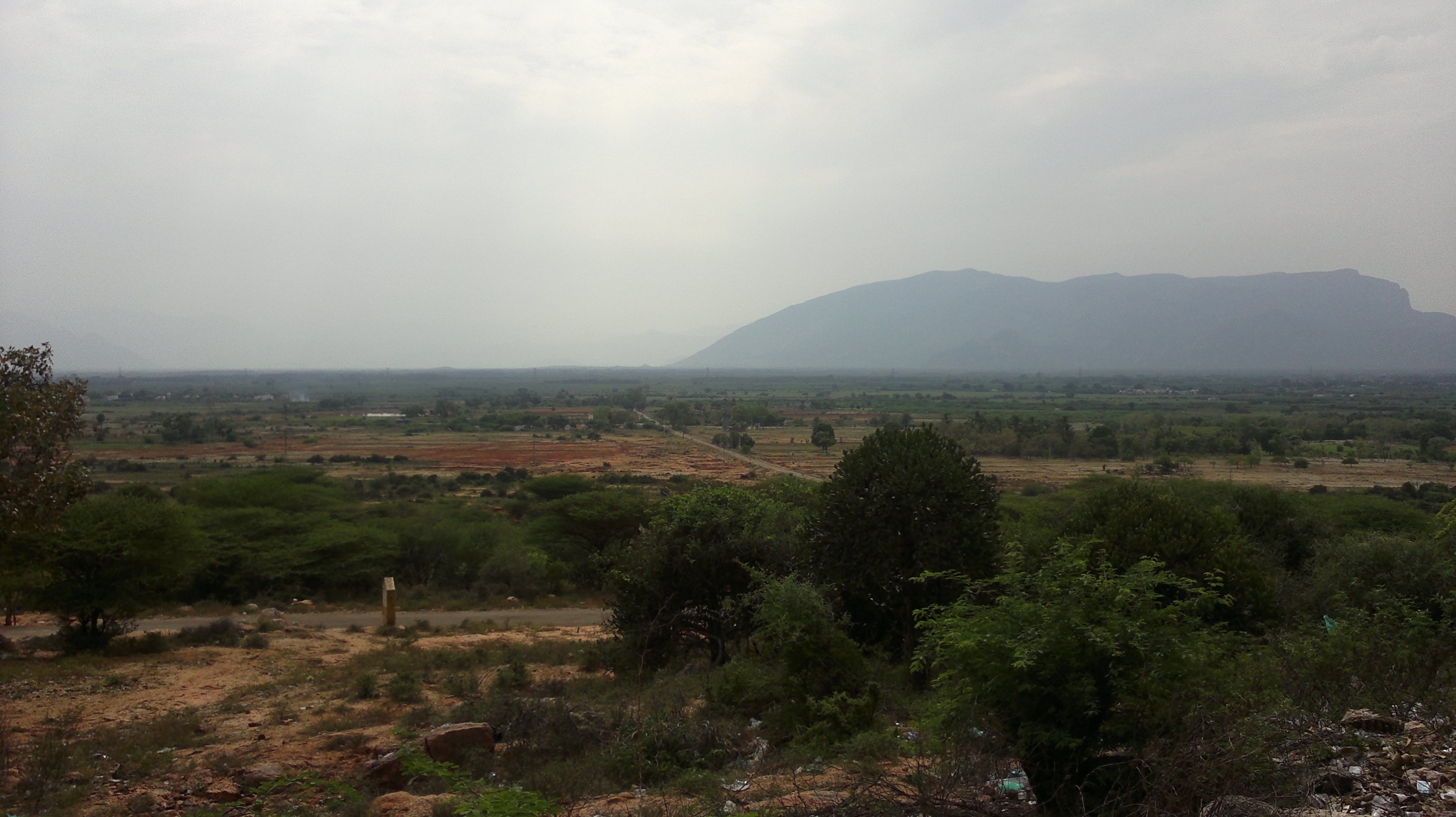
Landscape

_DSC5789[1]

Thirumalai Srinivasa Perumal Koil
Topographic Map of T.Kallupatti, Tamil Nadu, India
Find elevation by address:

Places near T.Kallupatti, Tamil Nadu, India:
Sedapatti
Tirumangalam
Virudhunagar Government Hospital Icu Unit
Virudhunagar
Sathuragiri Shri Sundara Mahalingam Temple
Watrap
Sathuragiri Hills
Kariapatti
Mangulam
Sivakasi
Saptur R.f.
Virudhunagar
Srivilliputhur
Aruppukkottai
Sattur
Vembakottai
Rajapalayam
Meghamalai View Point
Megamalai
Chinnamanur
Recent Searches:
- Elevation of Tater Hill, Oklahoma, USA
- Elevation of NY-, Friendship, NY, USA
- Elevation of 64 Danakas Dr, Winnipeg, MB R2C 5N7, Canada
- Elevation of 4 Vale Rd, Sheffield S3 9QX, UK
- Elevation of Keene Point Drive, Keene Point Dr, Grant, AL, USA
- Elevation of State St, Zanesville, OH, USA
- Elevation of Austin Stone Dr, Haslet, TX, USA
- Elevation of Bydgoszcz, Poland
- Elevation of Bydgoszcz, Poland
- Elevation of Calais Dr, Del Mar, CA, USA