Elevation of Sattur, Tamil Nadu, India
Location: India > Tamil Nadu > Virudhunagar >
Longitude: 77.9110321
Latitude: 9.3644204
Elevation: 70m / 230feet
Barometric Pressure: 100KPa
Elevation Map:
Satellite Map:
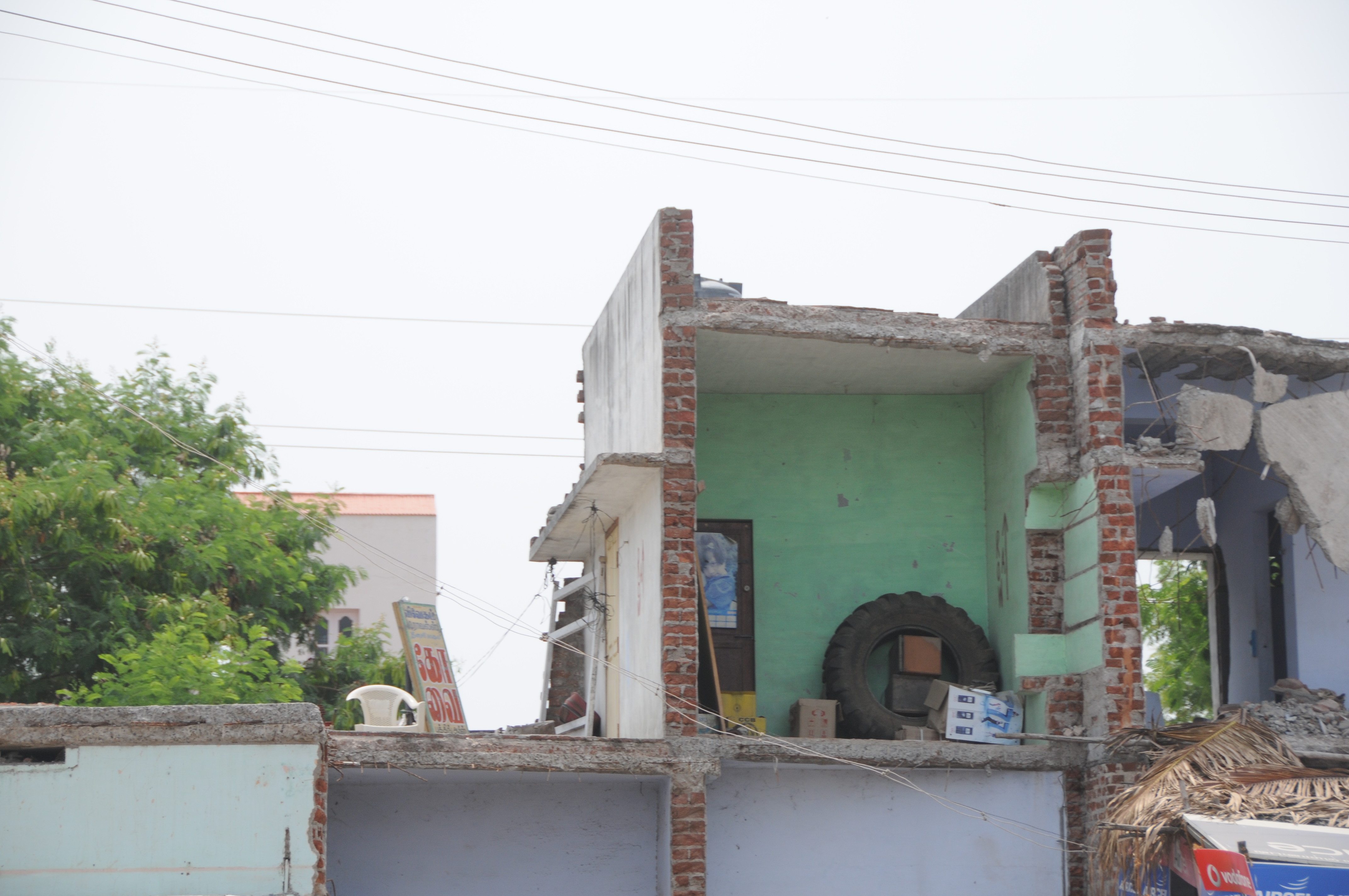
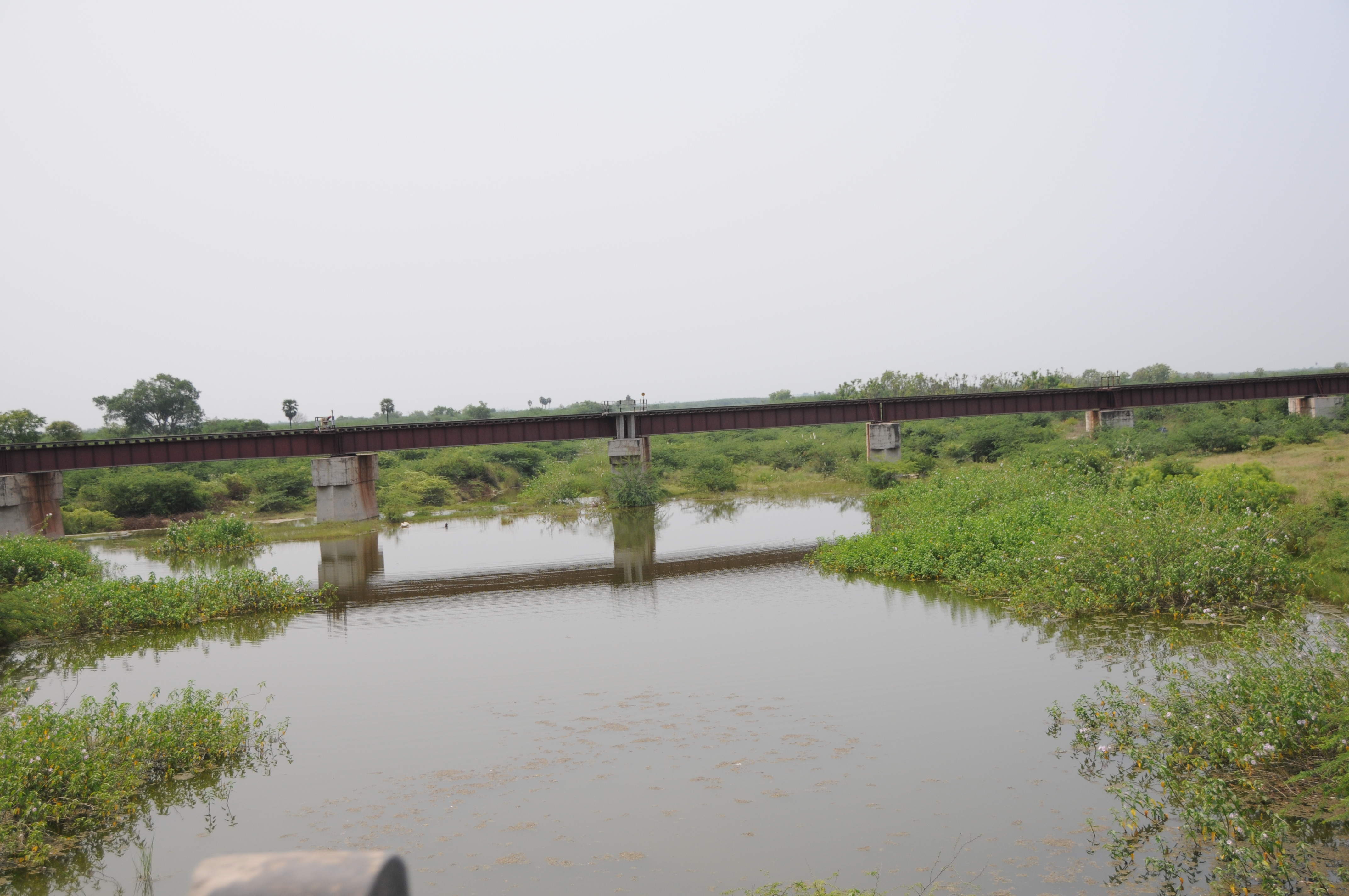
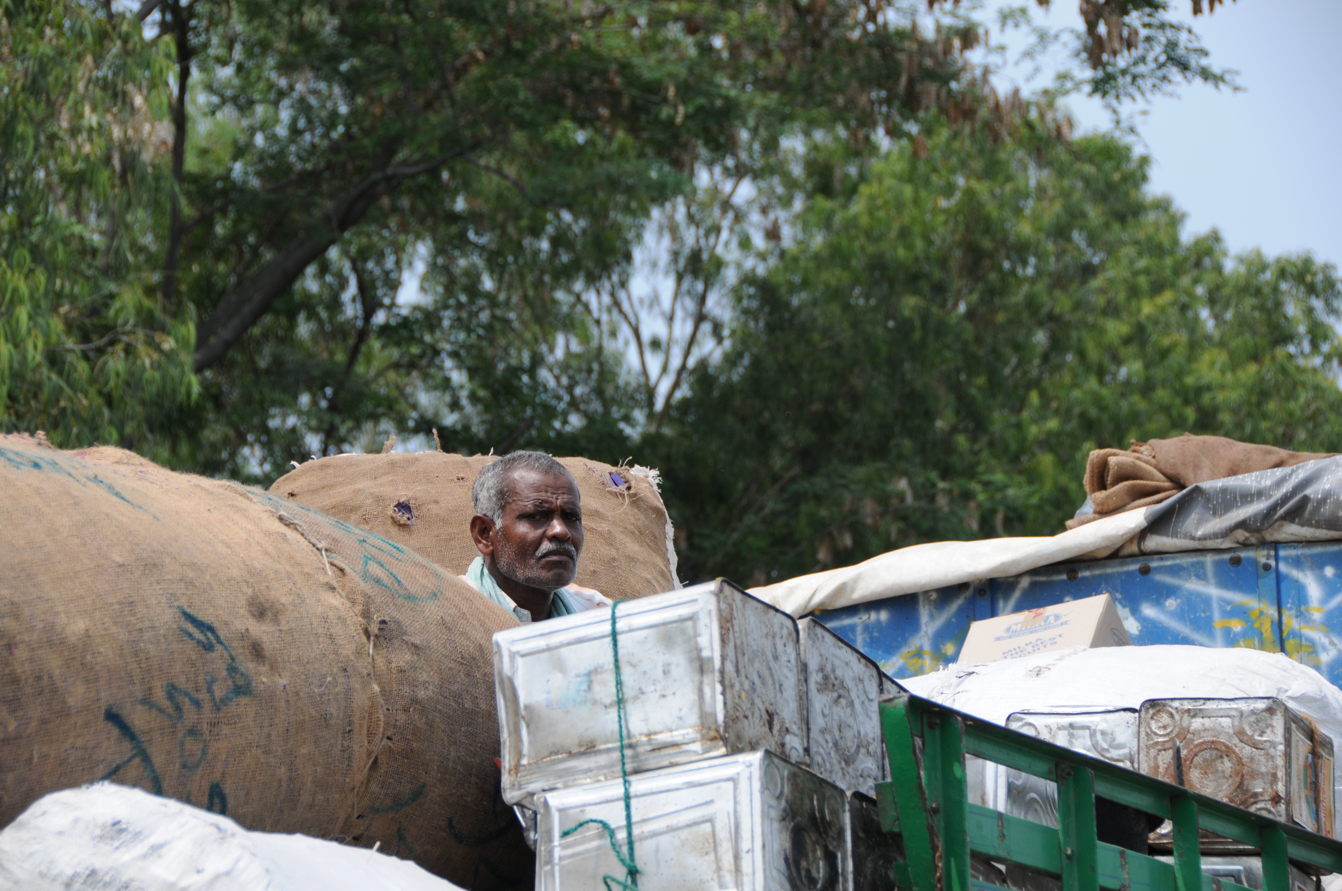
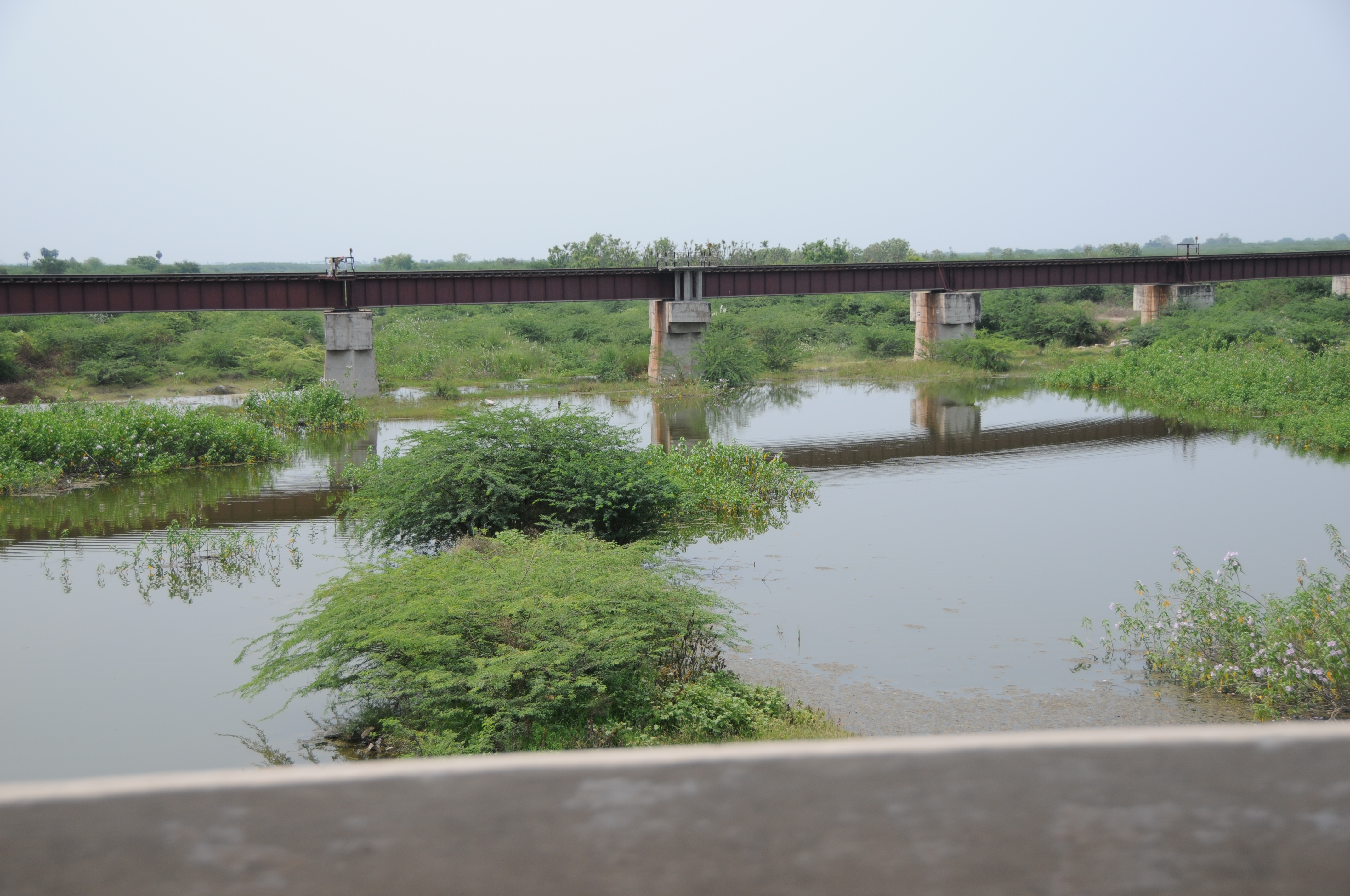
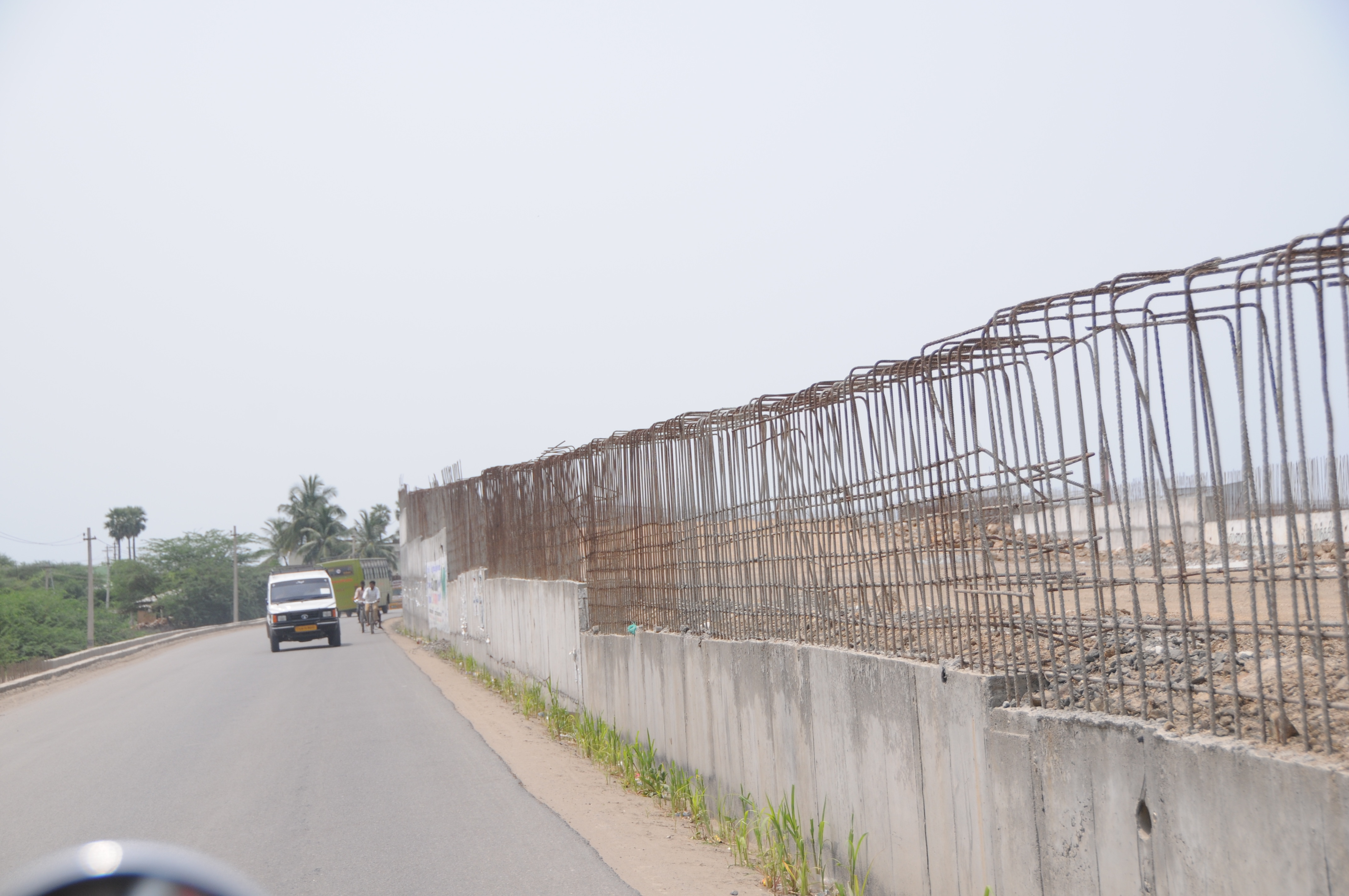
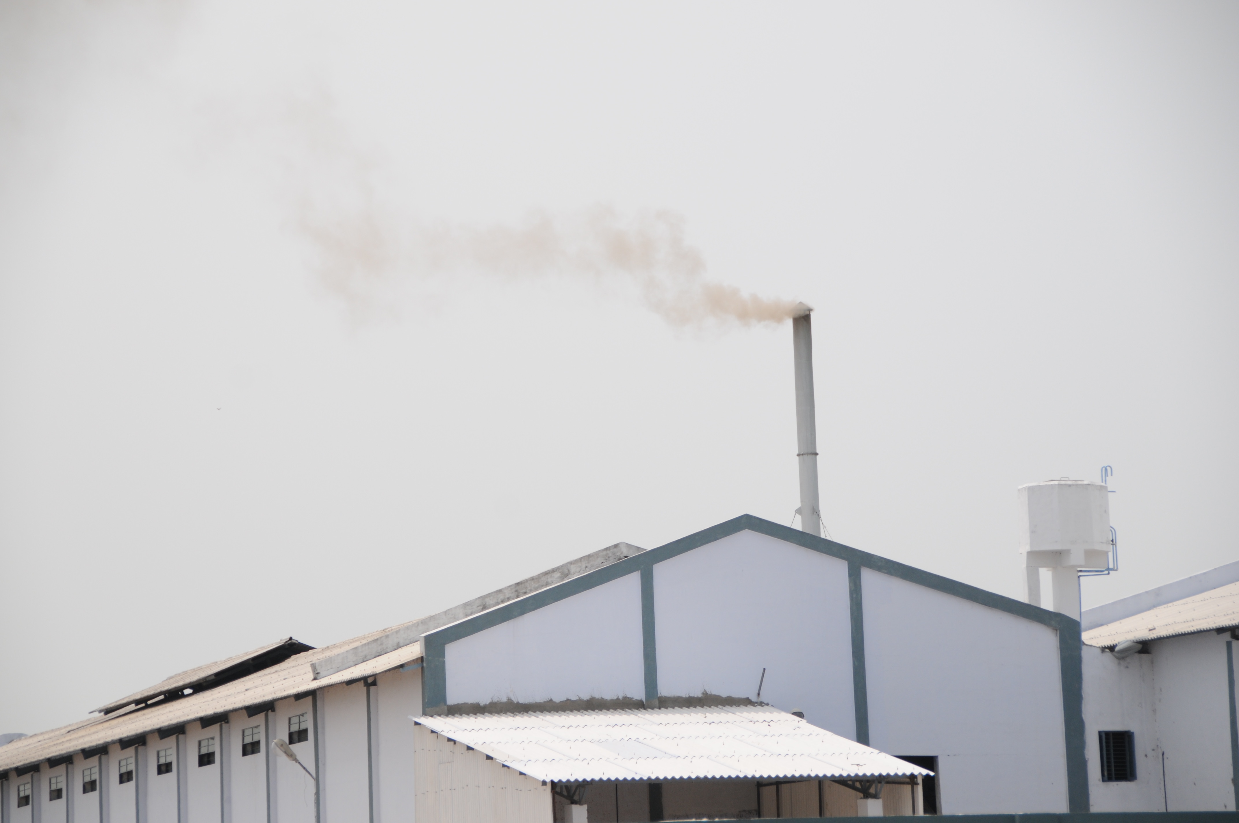
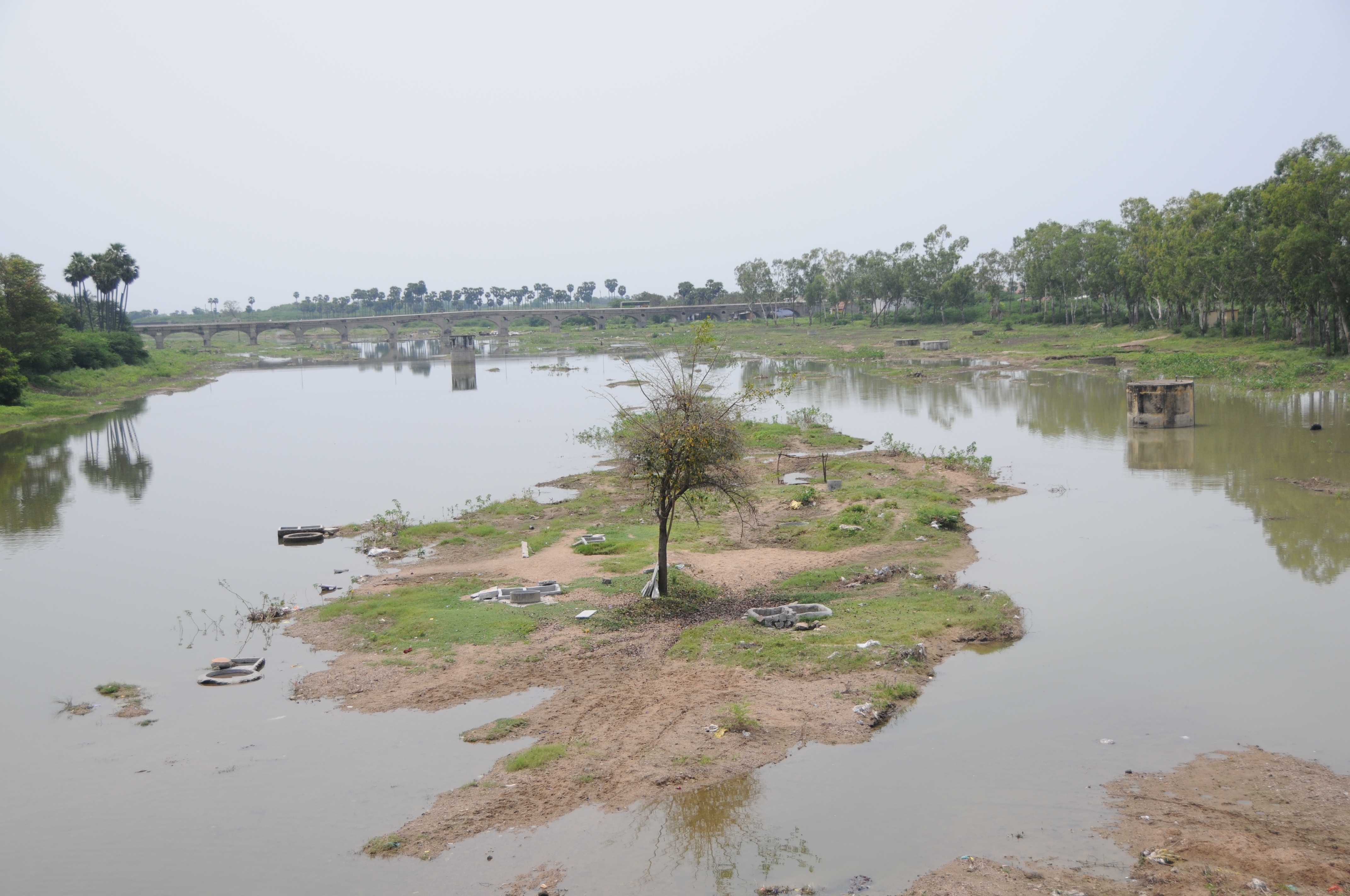
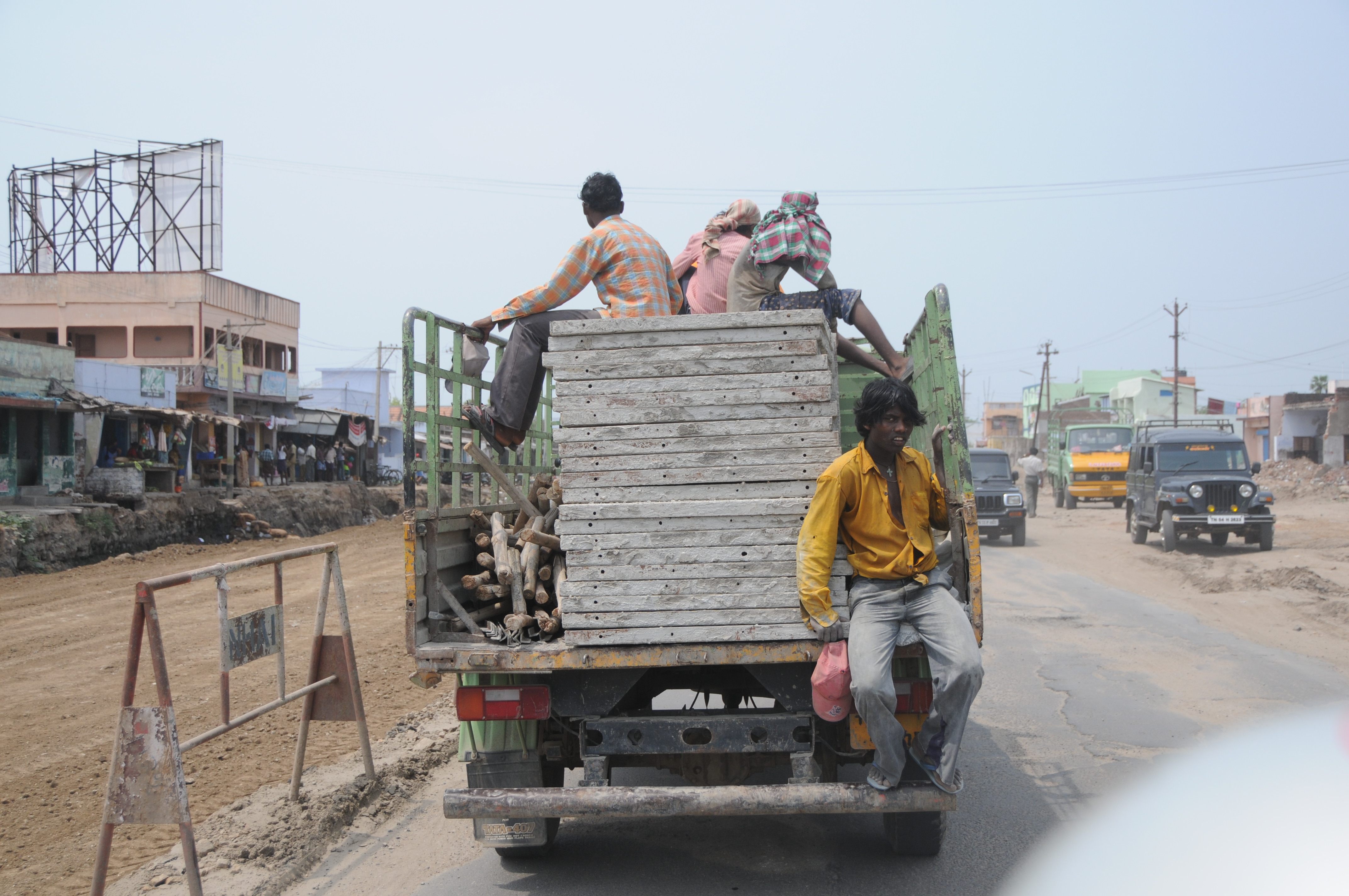
Related Photos:
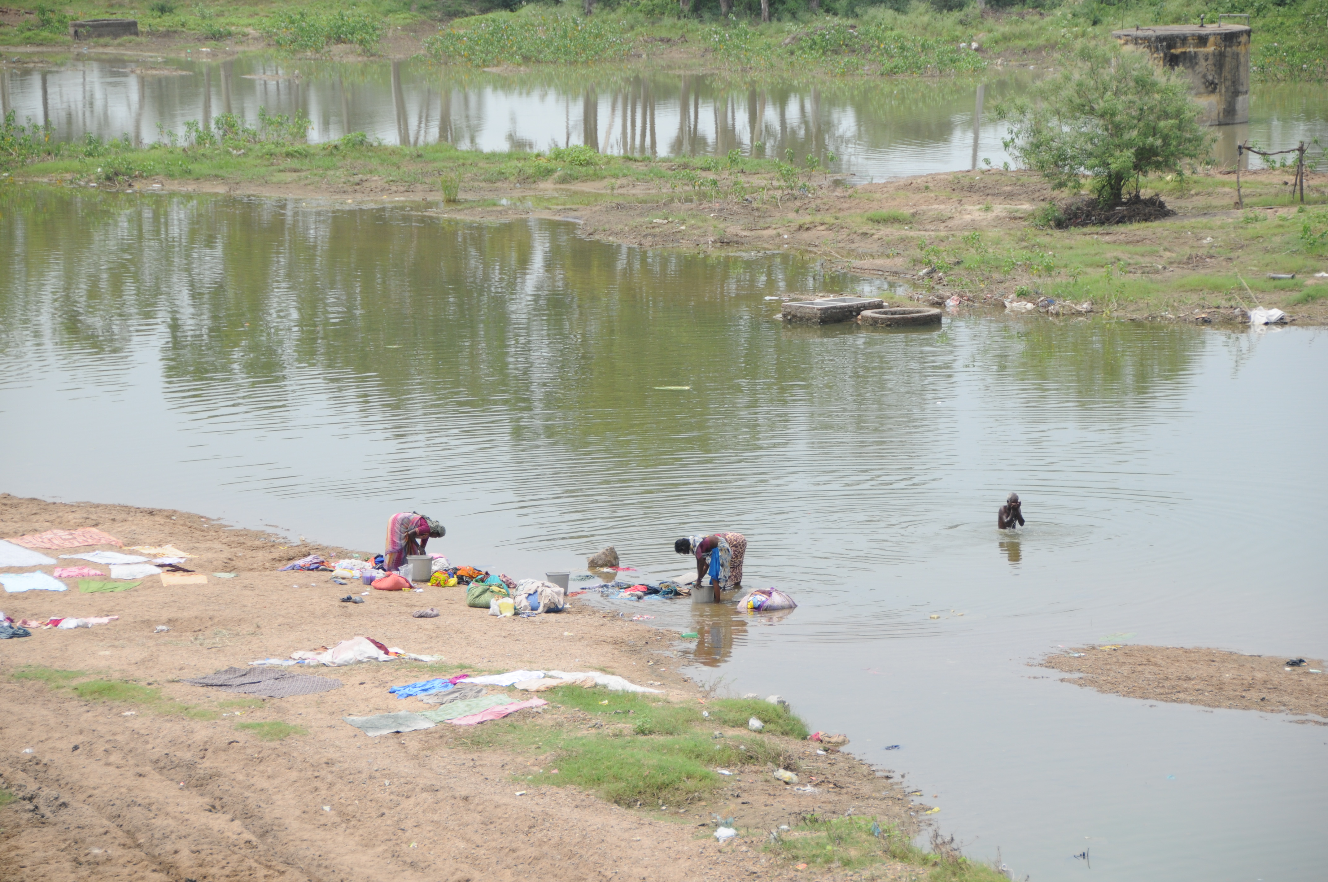
CSP_5129.JPG
CSP_5125.JPG
CSP_5123.JPG

CSP_5128.JPG
CSP_5124.JPG
CSP_5146.JPG
CSP_5149.JPG

CSP_5133.JPG
CSP_5142.JPG
CSP_5130.JPG

CSP_5140.JPG
CSP_5135.JPG
Topographic Map of Sattur, Tamil Nadu, India
Find elevation by address:

Places near Sattur, Tamil Nadu, India:
Virudhunagar
Sivakasi
Vembakottai
Kovilpatti
Virudhunagar
Virudhunagar Government Hospital Icu Unit
Pudur
Aruppukkottai
Ramanathapuram
Vettuvan Kovil
Kuruvikulam
Srivilliputhur
Vilathikulam
T.kallupatti
Kariapatti
Paralachi
Watrap
Rajapalayam
Sankarankovil
Kayathar
Recent Searches:
- Elevation of 64 Danakas Dr, Winnipeg, MB R2C 5N7, Canada
- Elevation of 4 Vale Rd, Sheffield S3 9QX, UK
- Elevation of Keene Point Drive, Keene Point Dr, Grant, AL, USA
- Elevation of State St, Zanesville, OH, USA
- Elevation of Austin Stone Dr, Haslet, TX, USA
- Elevation of Bydgoszcz, Poland
- Elevation of Bydgoszcz, Poland
- Elevation of Calais Dr, Del Mar, CA, USA
- Elevation of Placer Mine Ln, West Jordan, UT, USA
- Elevation of E 63rd St, New York, NY, USA