Elevation map of Virudhunagar, Tamil Nadu, India
Location: India > Tamil Nadu >
Longitude: 77.8367282
Latitude: 9.4217809
Elevation: 93m / 305feet
Barometric Pressure: 100KPa
Elevation Map:
Satellite Map:
Related Photos:
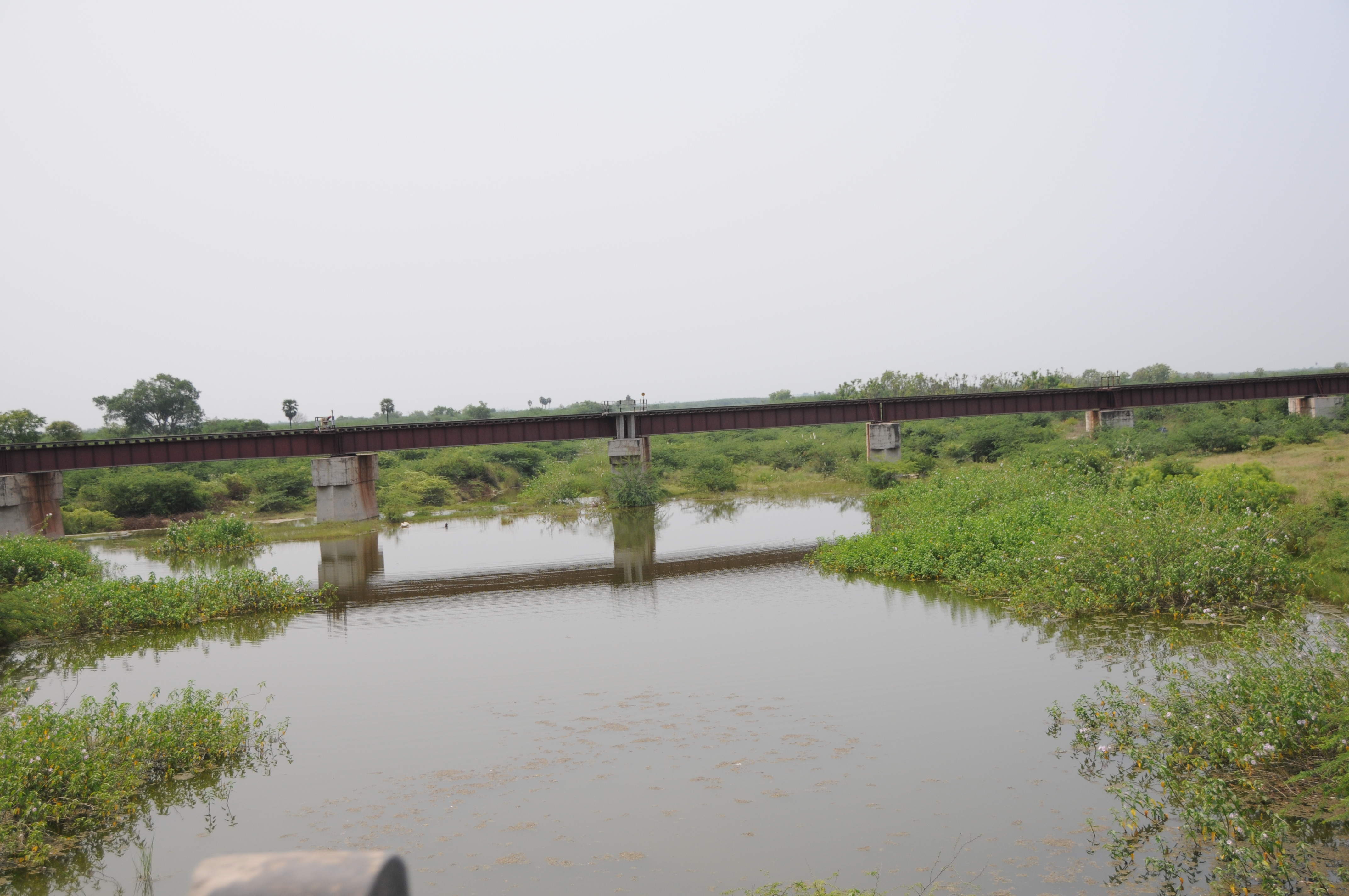
CSP_5125.JPG
CSP_5123.JPG
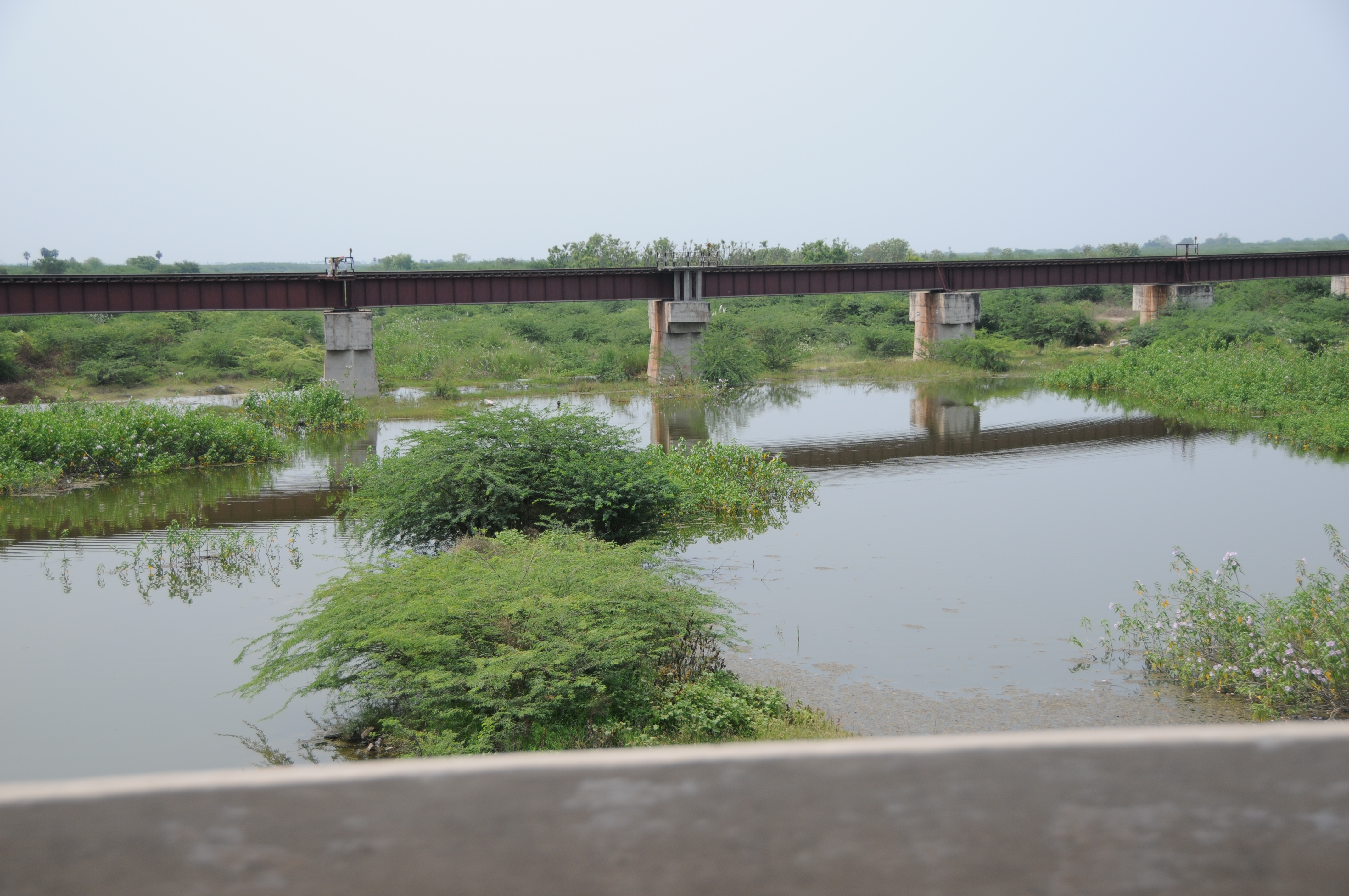
CSP_5124.JPG
CSP_5146.JPG

CSP_5133.JPG
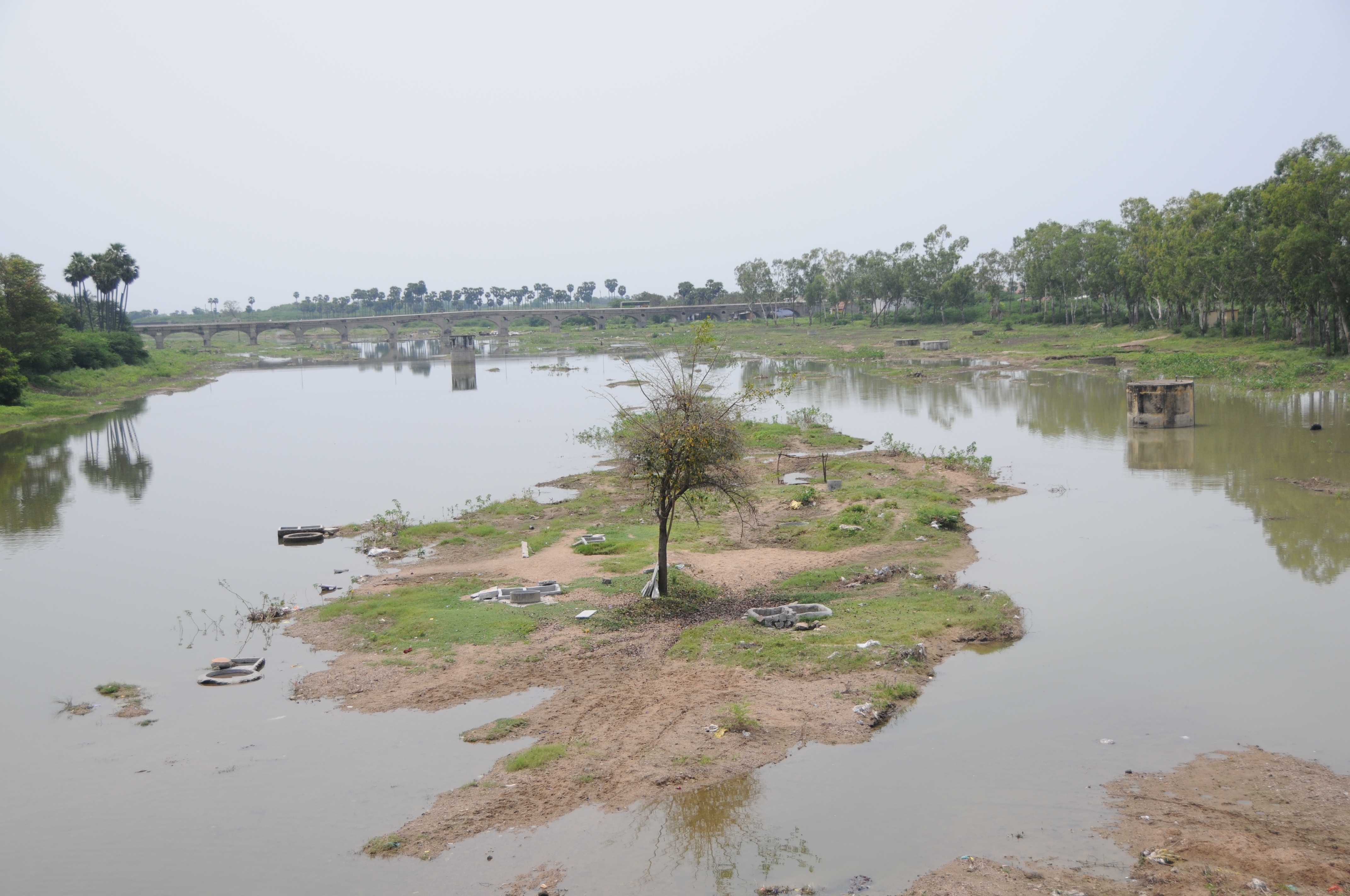
CSP_5142.JPG
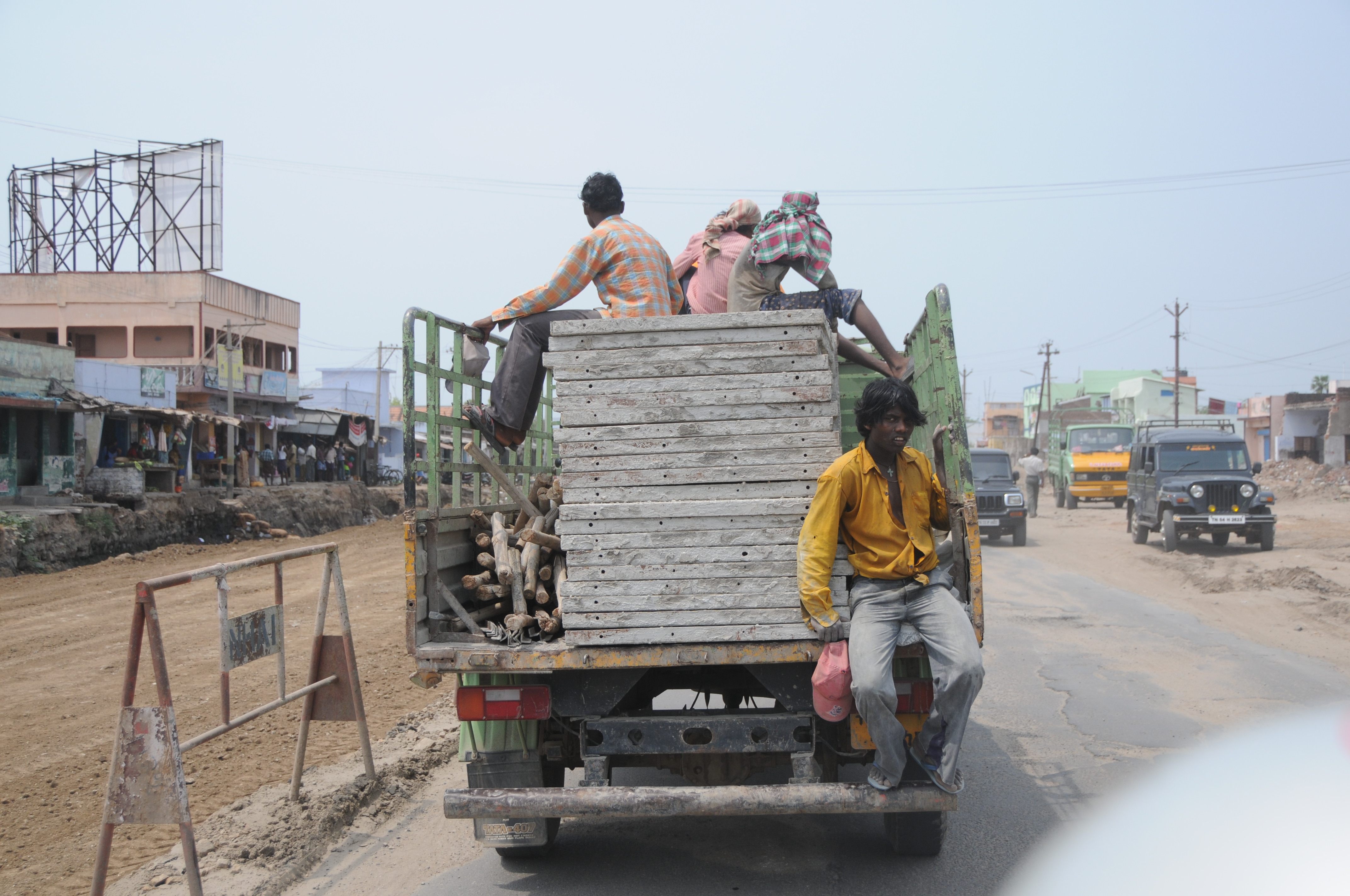
CSP_5130.JPG

CSP_5140.JPG
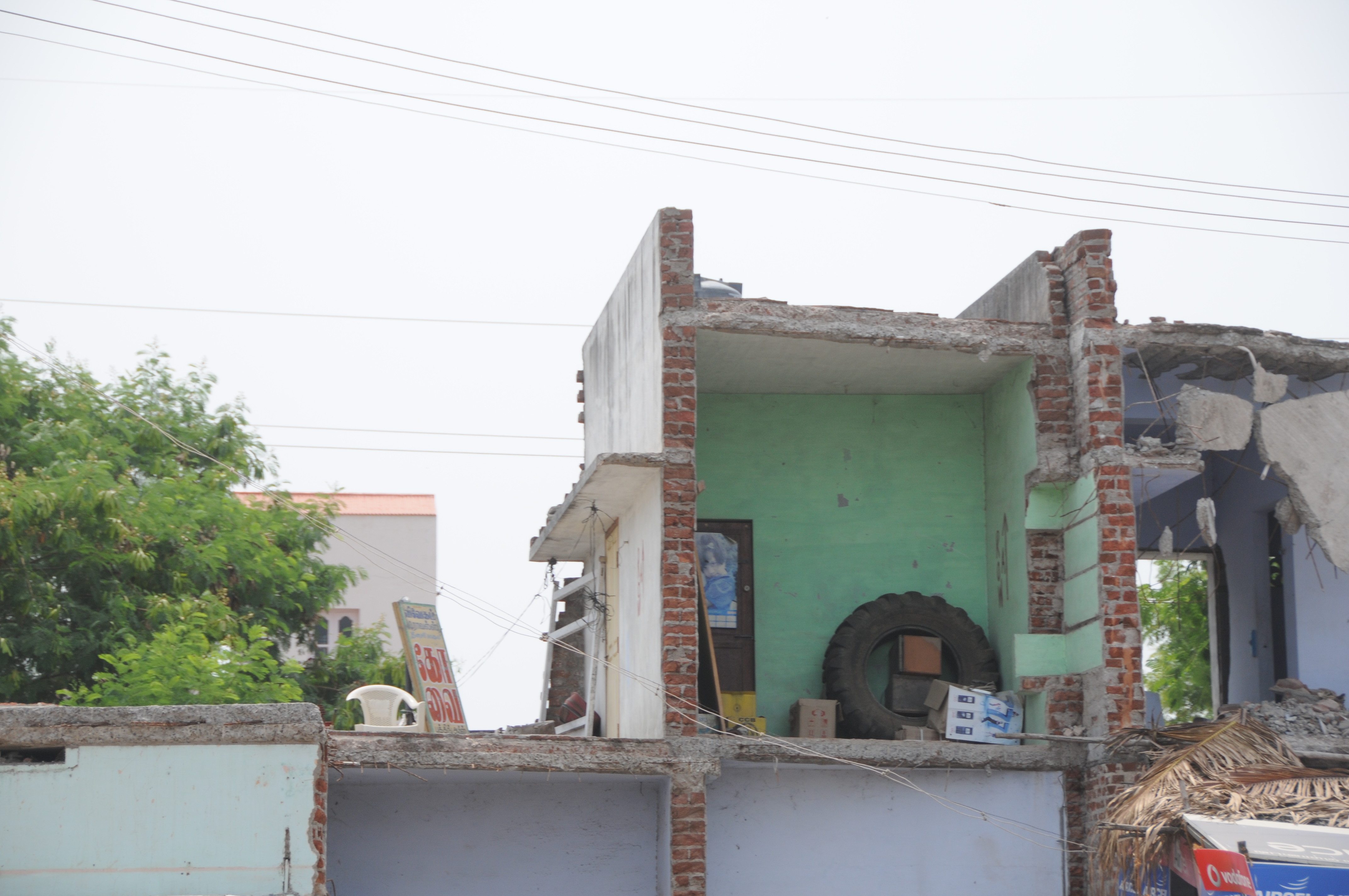
CSP_5129.JPG

CSP_5128.JPG
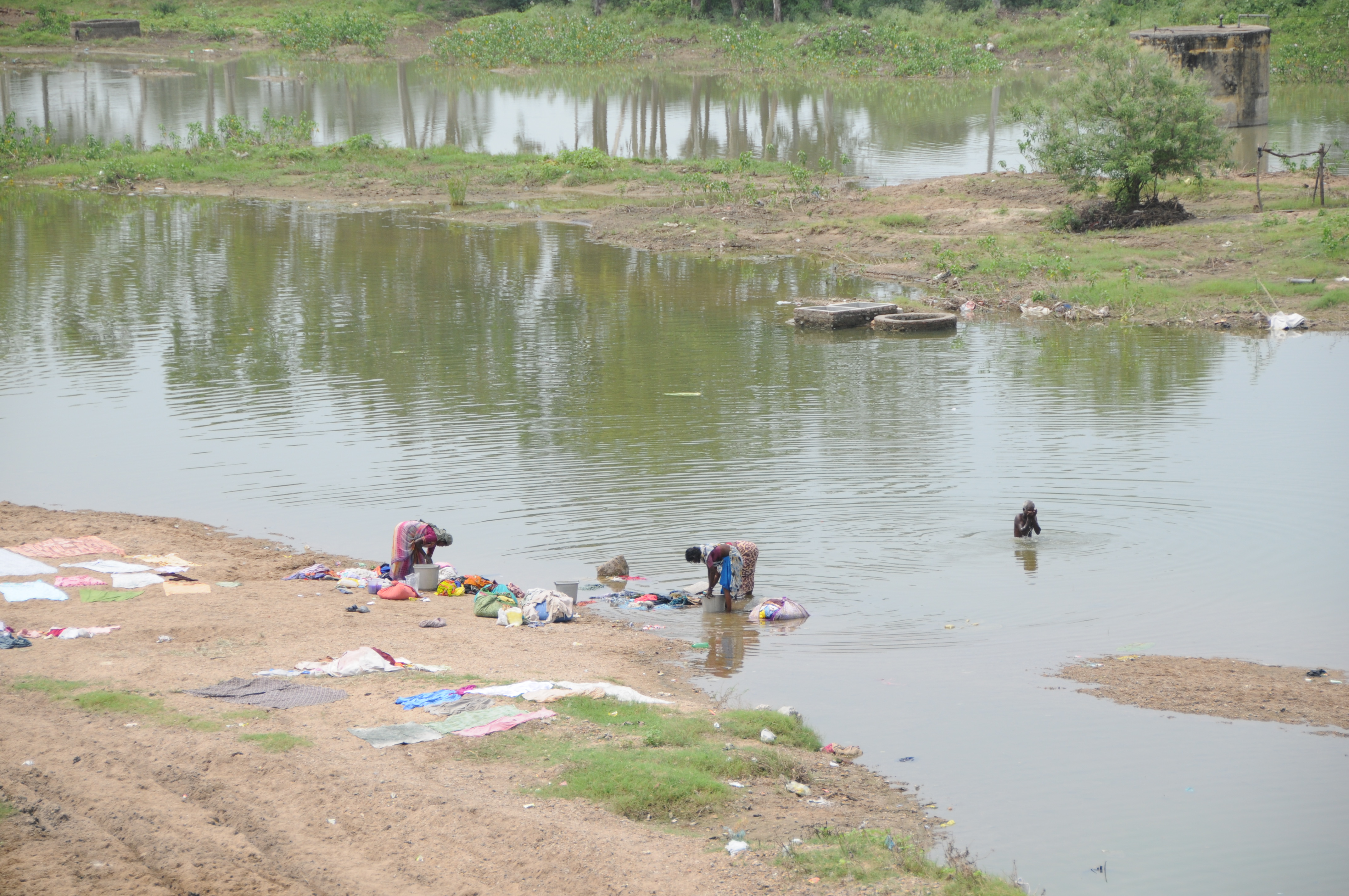
CSP_5135.JPG
Topographic Map of Virudhunagar, Tamil Nadu, India
Find elevation by address:

Places in Virudhunagar, Tamil Nadu, India:
Virudhunagar
Vilathikulam
Kuruvikulam
Pudur
Aruppukkottai
Rajapalayam
Sivakasi
Srivilliputhur
Watrap
Vembakottai
Sattur
Paralachi
Melakodumalur
Places near Virudhunagar, Tamil Nadu, India:
Sivakasi
Sattur
Vembakottai
Virudhunagar
Virudhunagar Government Hospital Icu Unit
Srivilliputhur
Kovilpatti
Ramanathapuram
Aruppukkottai
Watrap
Kuruvikulam
Vettuvan Kovil
T.kallupatti
Rajapalayam
Pudur
Sathuragiri Shri Sundara Mahalingam Temple
Kariapatti
Sathuragiri Hills
Saptur R.f.
Sankarankovil
Recent Searches:
- Elevation of State St, Zanesville, OH, USA
- Elevation of Austin Stone Dr, Haslet, TX, USA
- Elevation of Bydgoszcz, Poland
- Elevation of Bydgoszcz, Poland
- Elevation of Calais Dr, Del Mar, CA, USA
- Elevation of Placer Mine Ln, West Jordan, UT, USA
- Elevation of E 63rd St, New York, NY, USA
- Elevation of Elk City, OK, USA
- Elevation of Erika Dr, Windsor, CA, USA
- Elevation of Village Ln, Finleyville, PA, USA