Elevation of Kayathar, Tamil Nadu, India
Location: India > Tamil Nadu > Thoothukudi >
Longitude: 77.7738163
Latitude: 8.9469905
Elevation: 63m / 207feet
Barometric Pressure: 101KPa
Elevation Map:
Satellite Map:
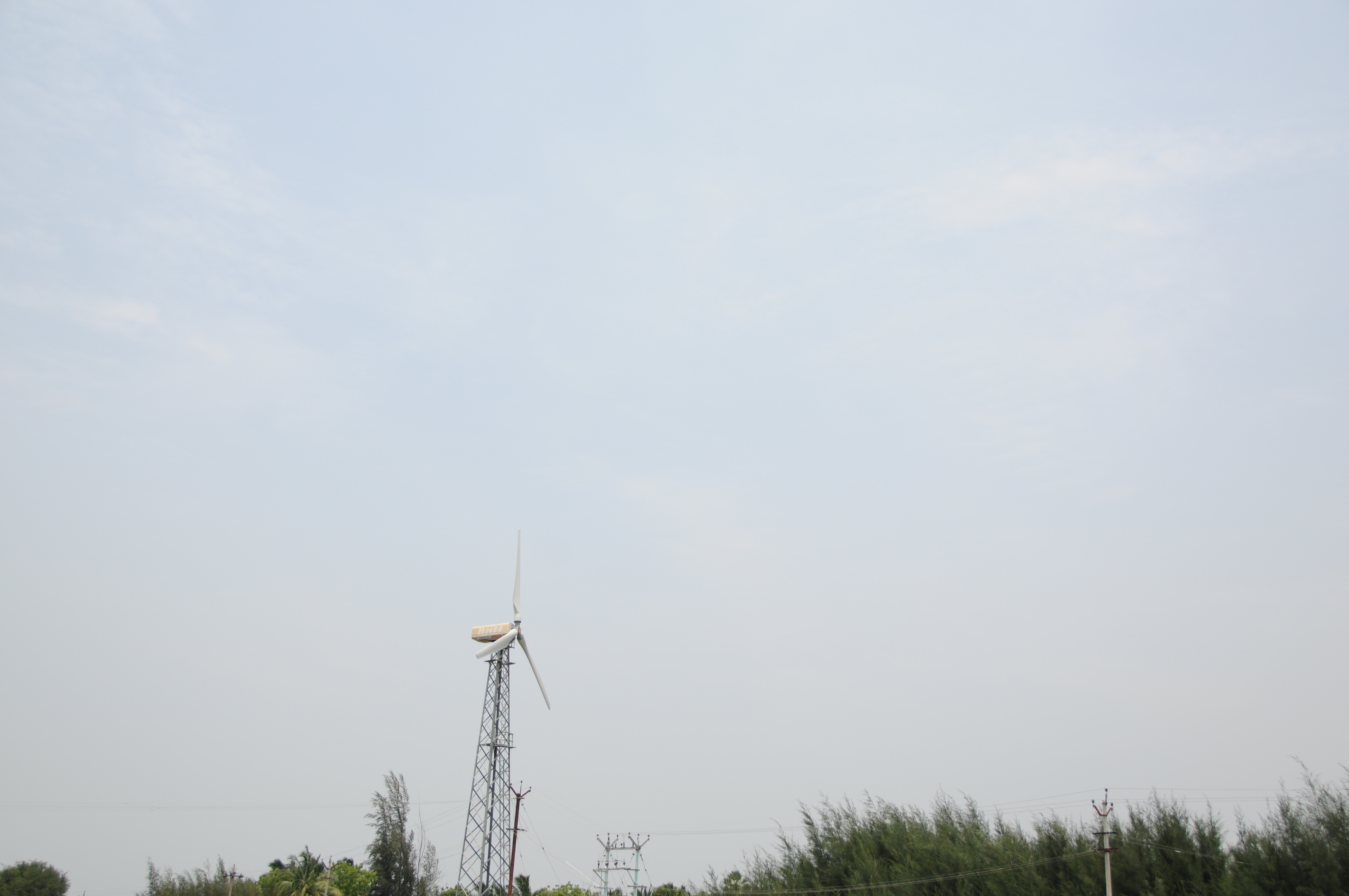
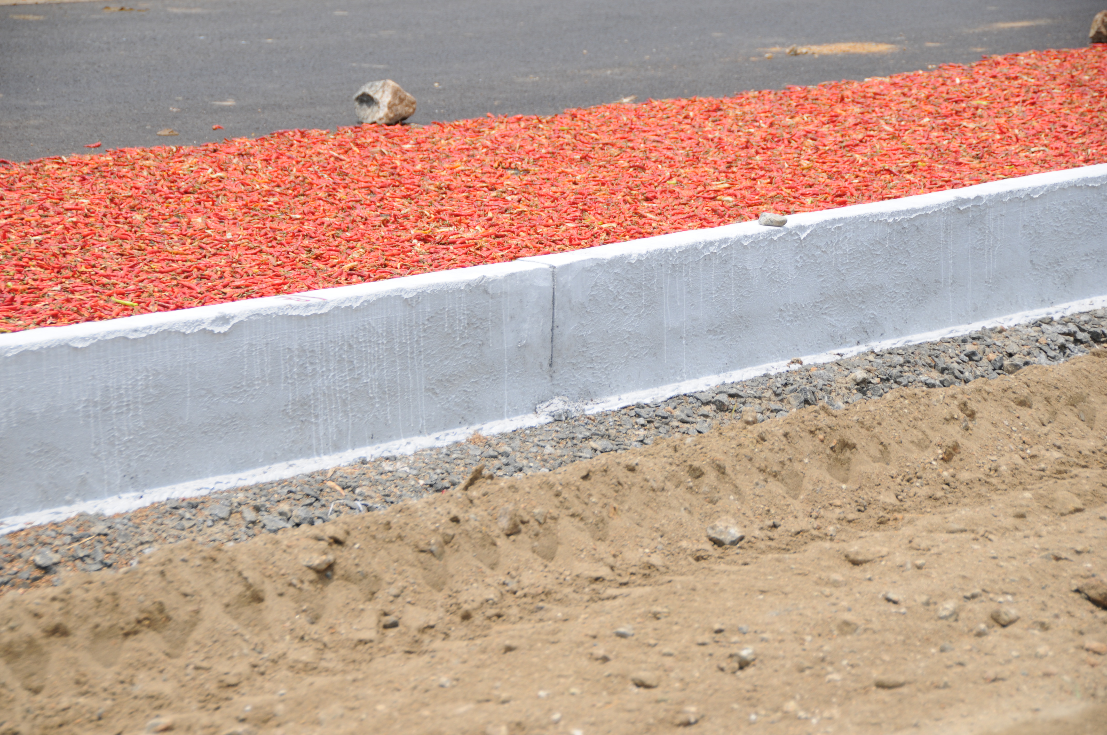
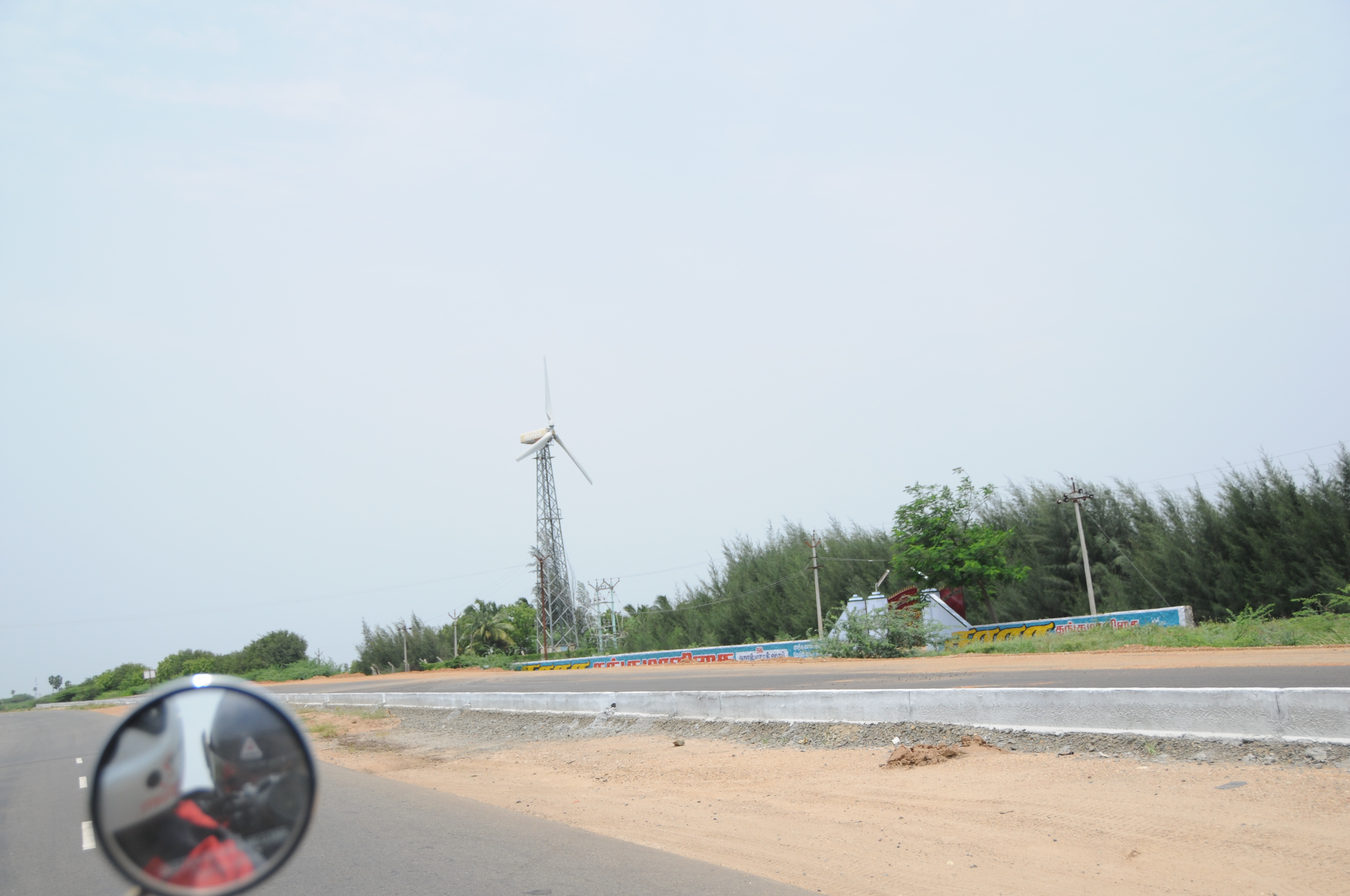
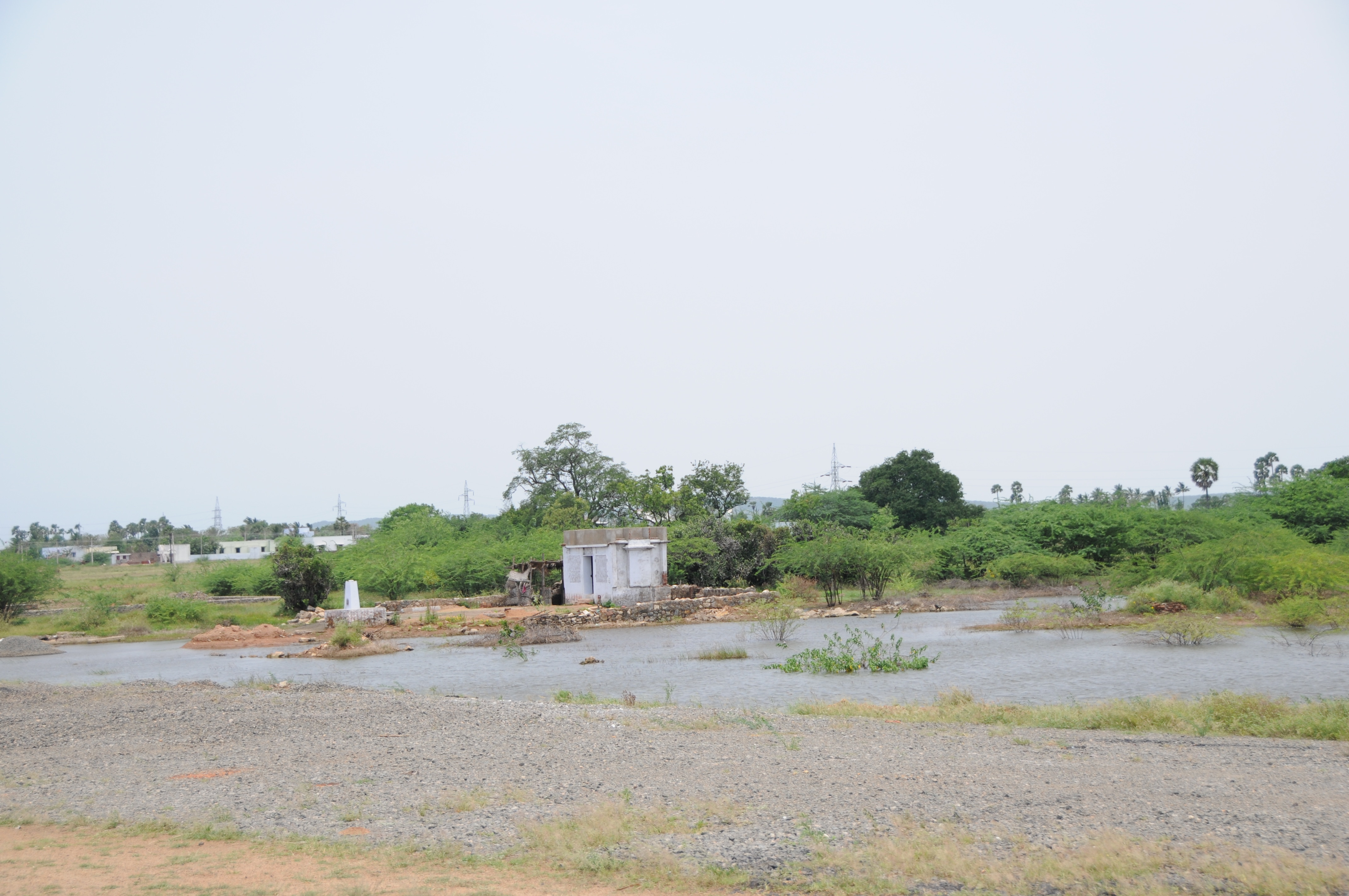
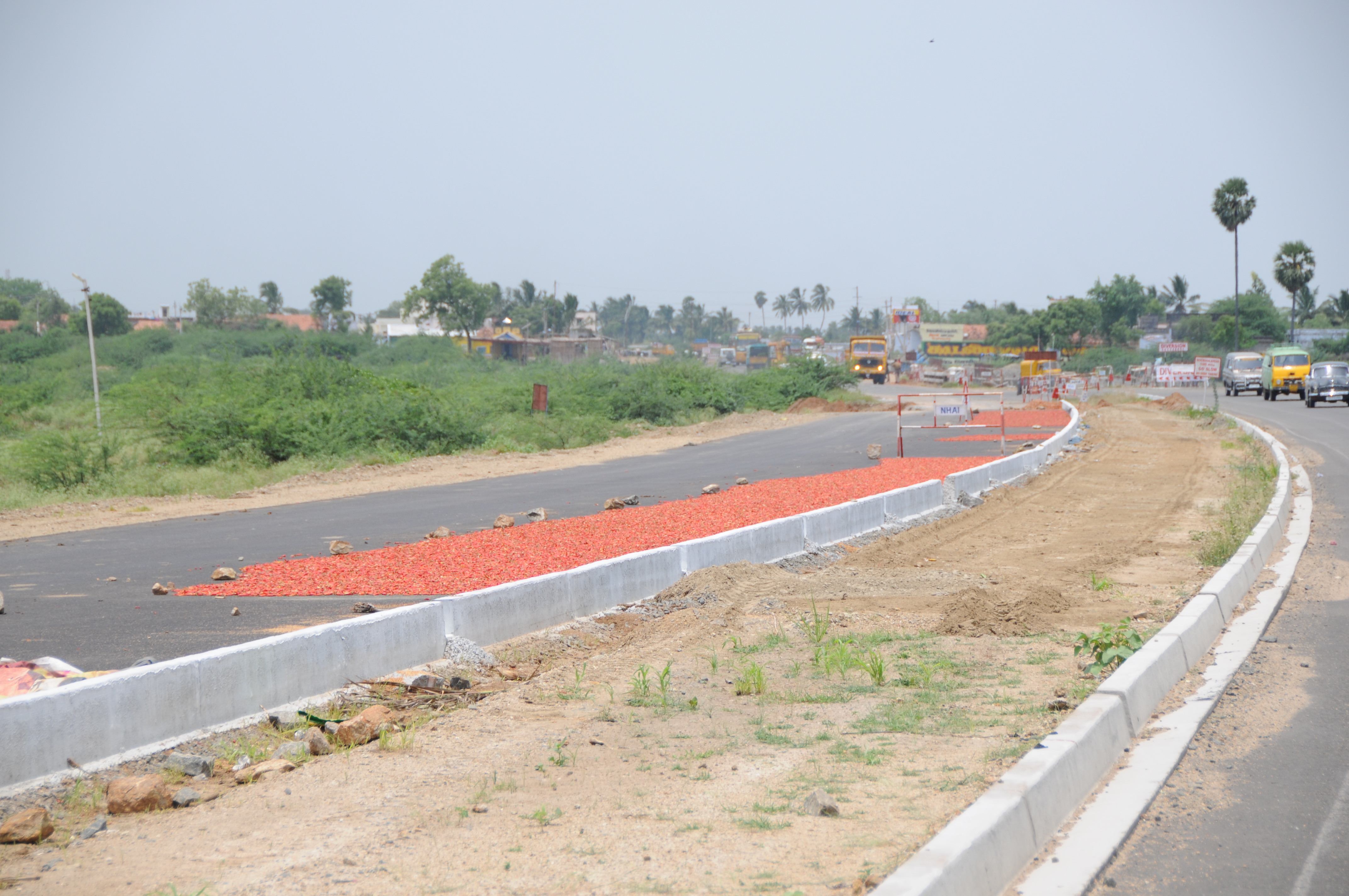
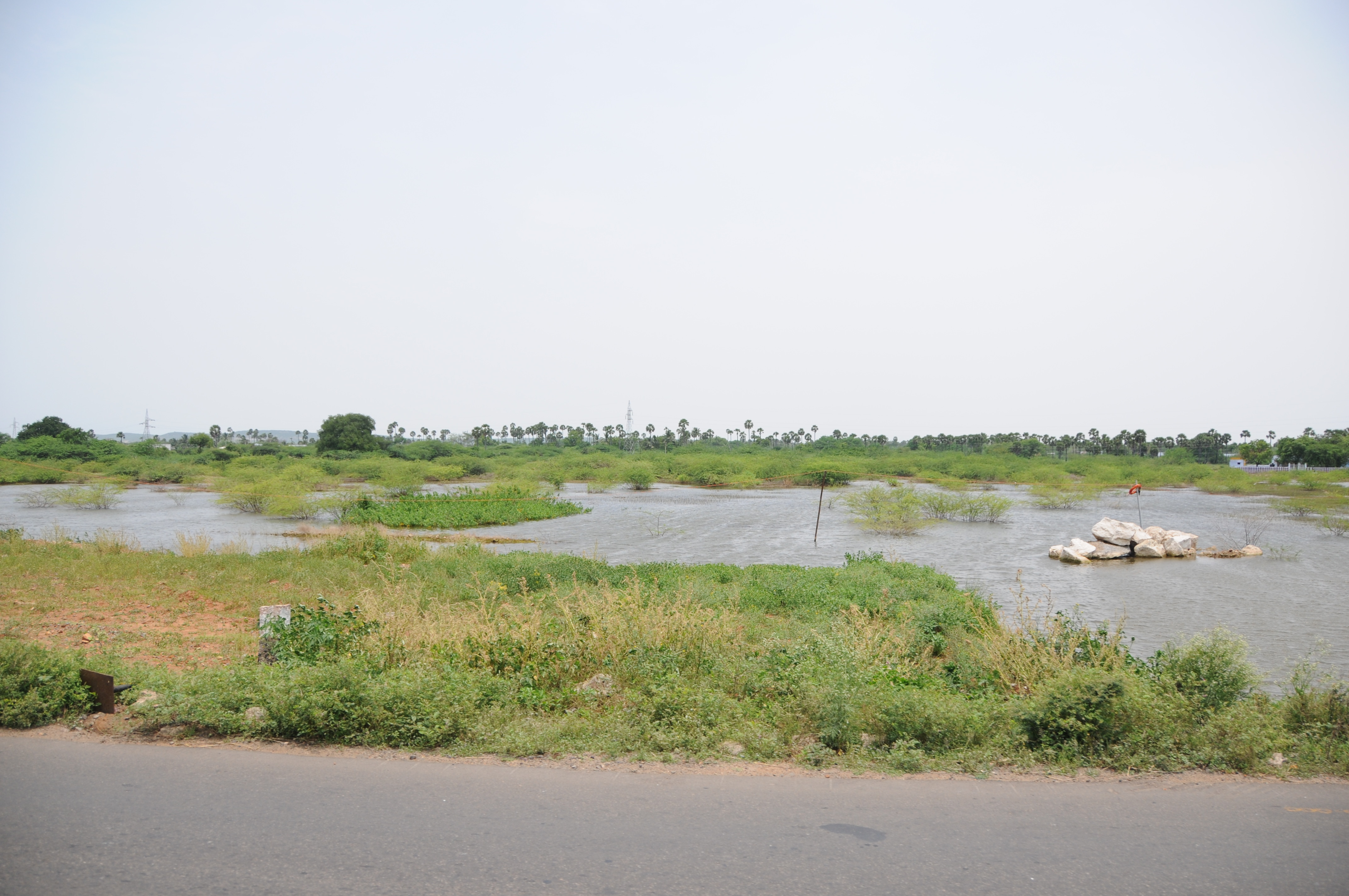
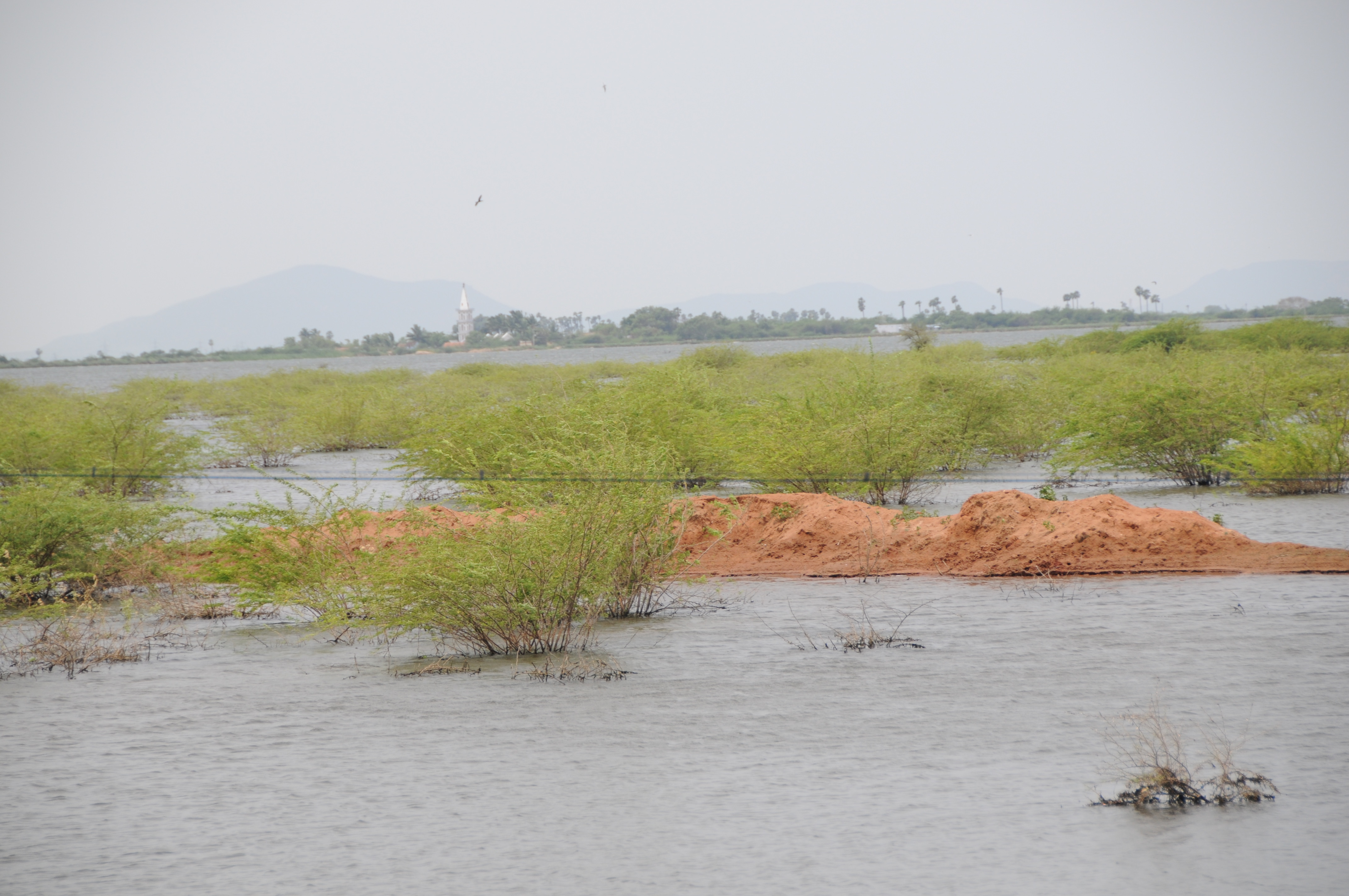
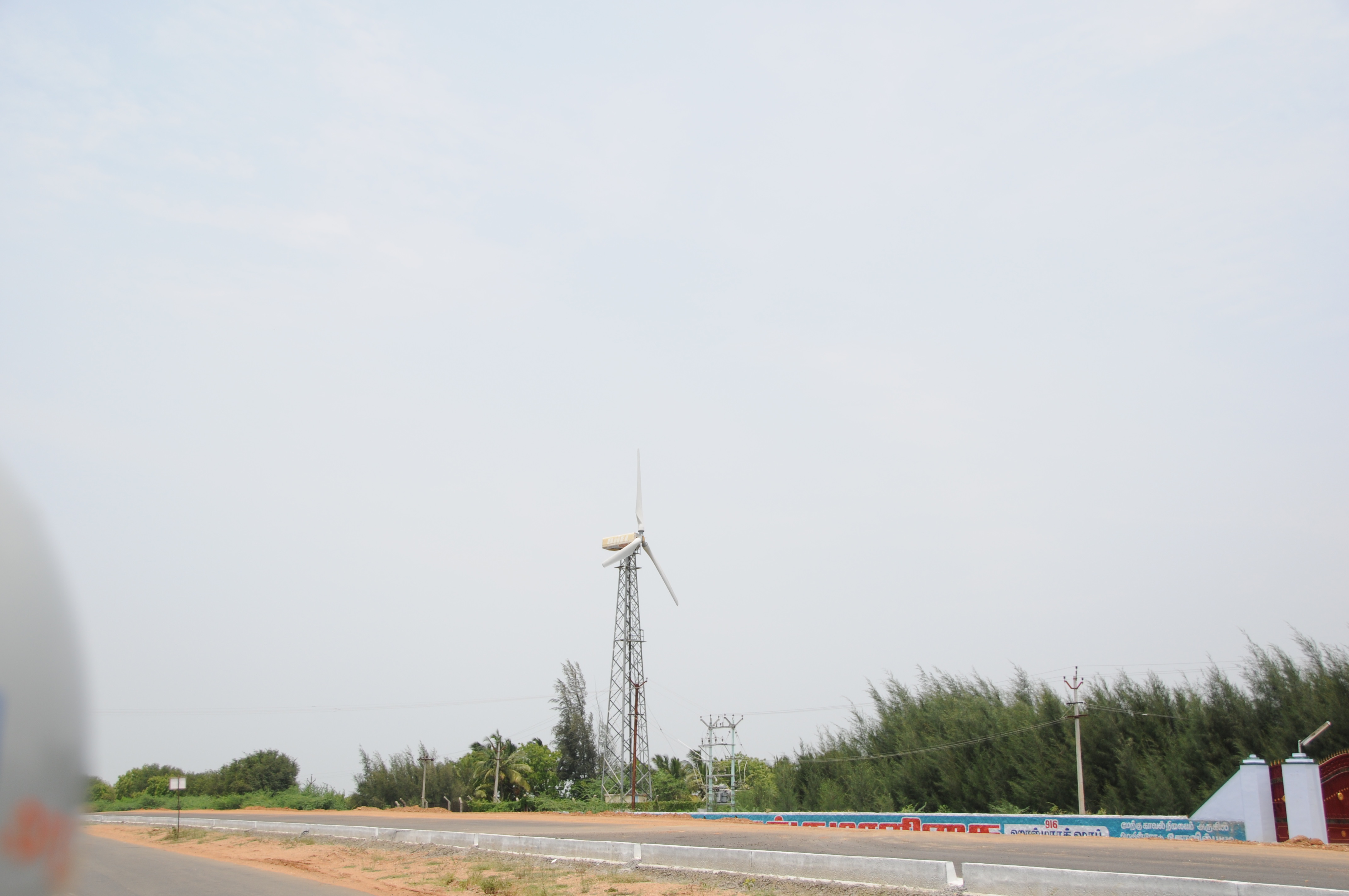
Related Photos:

CSP_5229.JPG

CSP_5230.JPG
CSP_5209.JPG
CSP_5205.JPG
CSP_5207.JPG

CSP_5211.JPG

CSP_5220.JPG

CSP_5210.JPG

CSP_5218.JPG
CSP_5224.JPG
CSP_5204.JPG
CSP_5222.JPG
CSP_5227.JPG
CSP_5208.JPG
Topographic Map of Kayathar, Tamil Nadu, India
Find elevation by address:

Places near Kayathar, Tamil Nadu, India:
Kalakudi
Melapattam
Vettuvan Kovil
Tesk Mahal
Kottamalai R.f.
Tirunelveli
Ramanathapuram
Kovilpatti
Thoothukudi
Ottapidaram
Kuruvikulam
Tirunelveli Kattabo
Reddiarpatti Hill
Sankarankovil
Tirunelveli
Vembakottai
Thoothukudi
Vilathikulam
Sattur
Kadayanallur
Recent Searches:
- Elevation of Groblershoop, South Africa
- Elevation of Power Generation Enterprises | Industrial Diesel Generators, Oak Ave, Canyon Country, CA, USA
- Elevation of Chesaw Rd, Oroville, WA, USA
- Elevation of N, Mt Pleasant, UT, USA
- Elevation of 6 Rue Jules Ferry, Beausoleil, France
- Elevation of Sattva Horizon, 4JC6+G9P, Vinayak Nagar, Kattigenahalli, Bengaluru, Karnataka, India
- Elevation of Great Brook Sports, Gold Star Hwy, Groton, CT, USA
- Elevation of 10 Mountain Laurels Dr, Nashua, NH, USA
- Elevation of 16 Gilboa Ln, Nashua, NH, USA
- Elevation of Laurel Rd, Townsend, TN, USA