Elevation of Meghamalai View point, Meghamalai Rd, Megamalai, Tamil Nadu, India
Location: India > Tamil Nadu > Theni > Megamalai >
Longitude: 77.4133996
Latitude: 9.71495
Elevation: 1226m / 4022feet
Barometric Pressure: 87KPa
Elevation Map:
Satellite Map:
Related Photos:
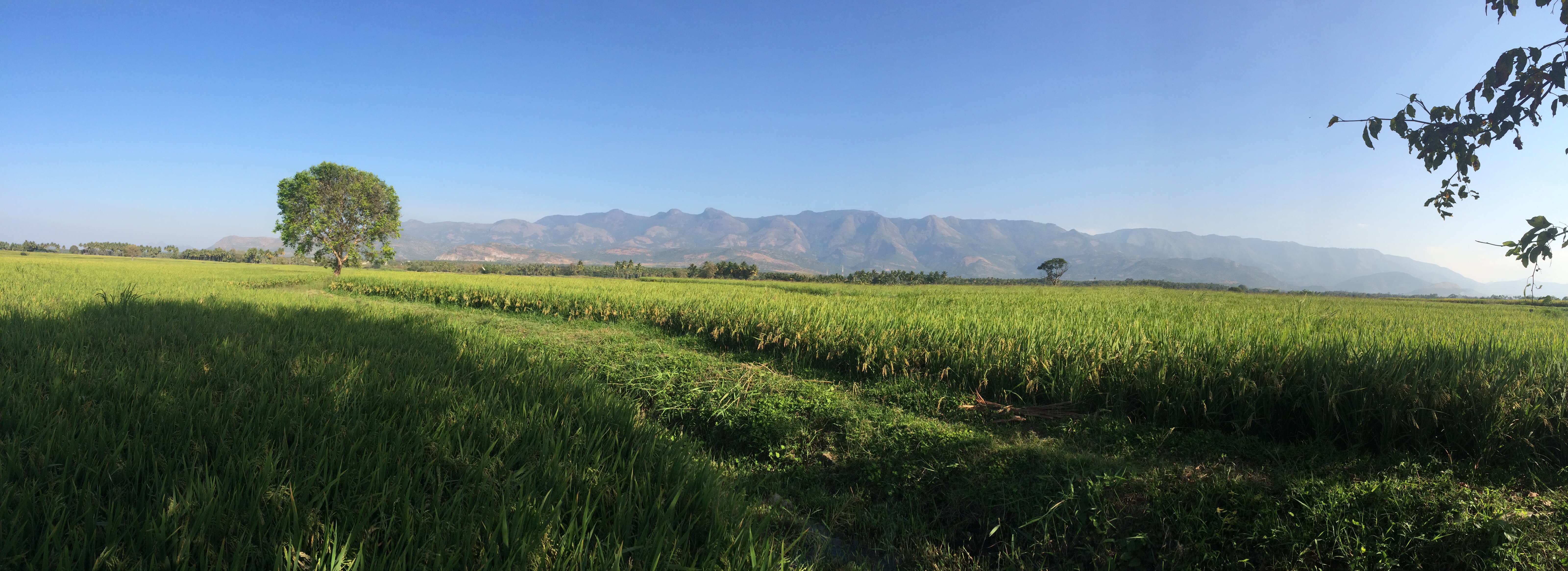
Panorama #green #mountain #wide #rice #greenland #view

Crowded bus in small town
Roll world ????

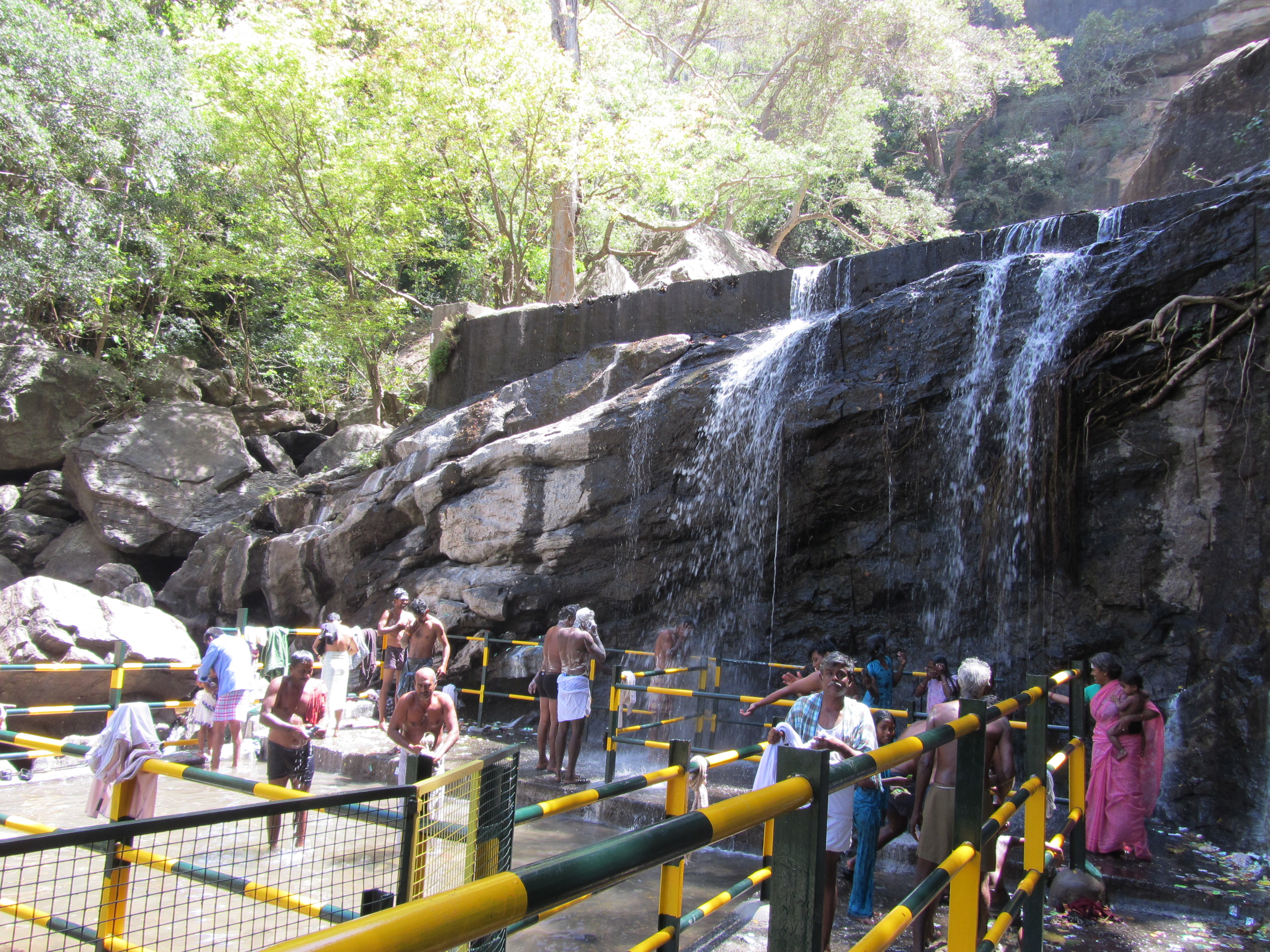
Manalar Dam Falls
Scenes from my native, Have anyone heard about Cumbum valley.

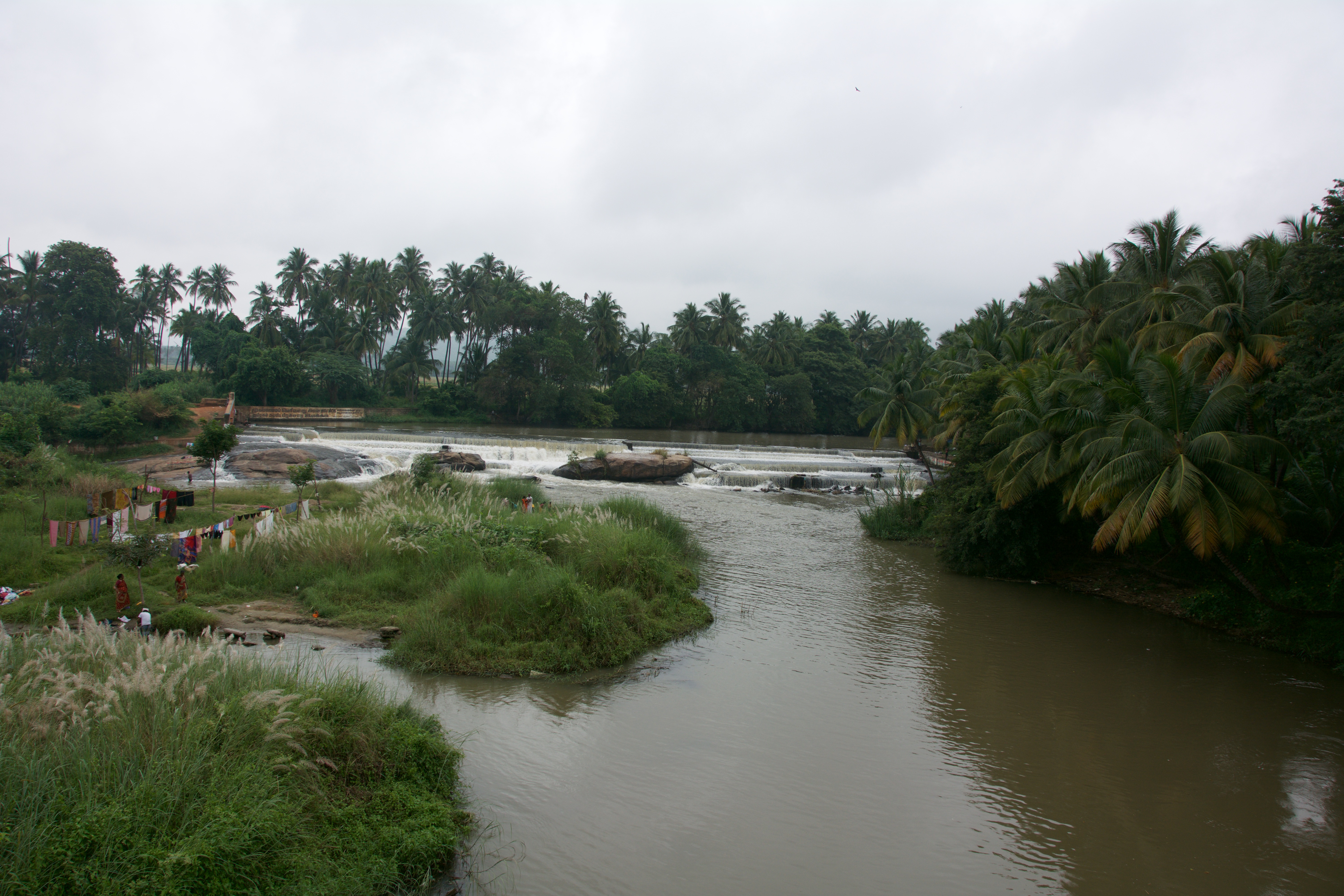
Le lavage du linge (Uthamapalayam, Inde)
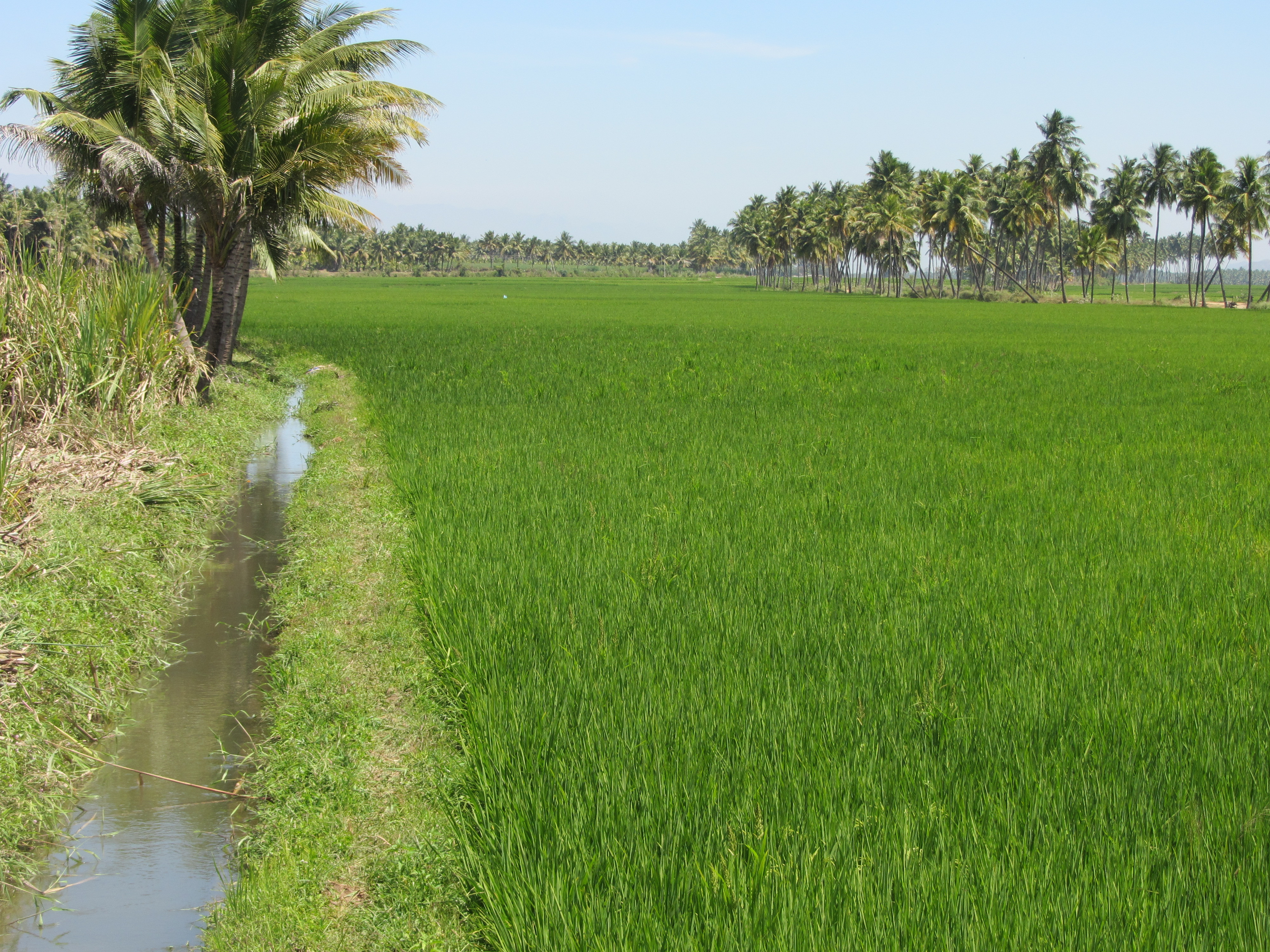
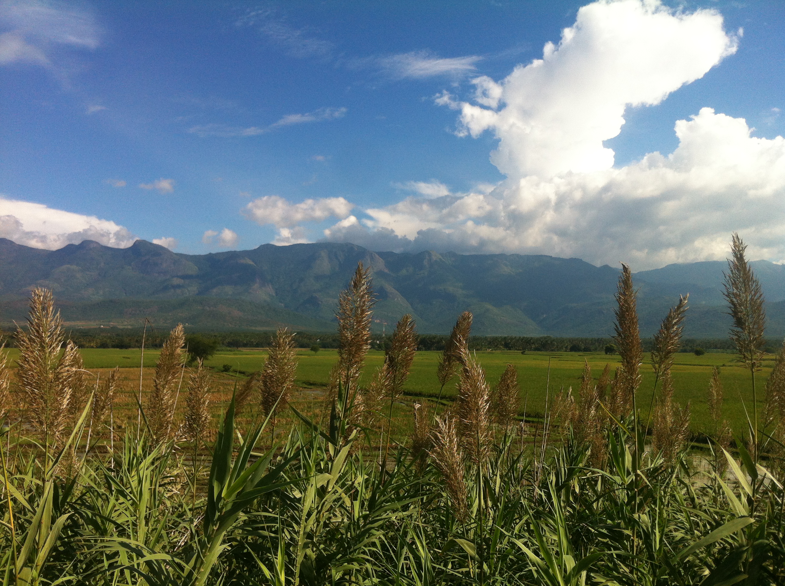
Rice Field
Churuli Falls
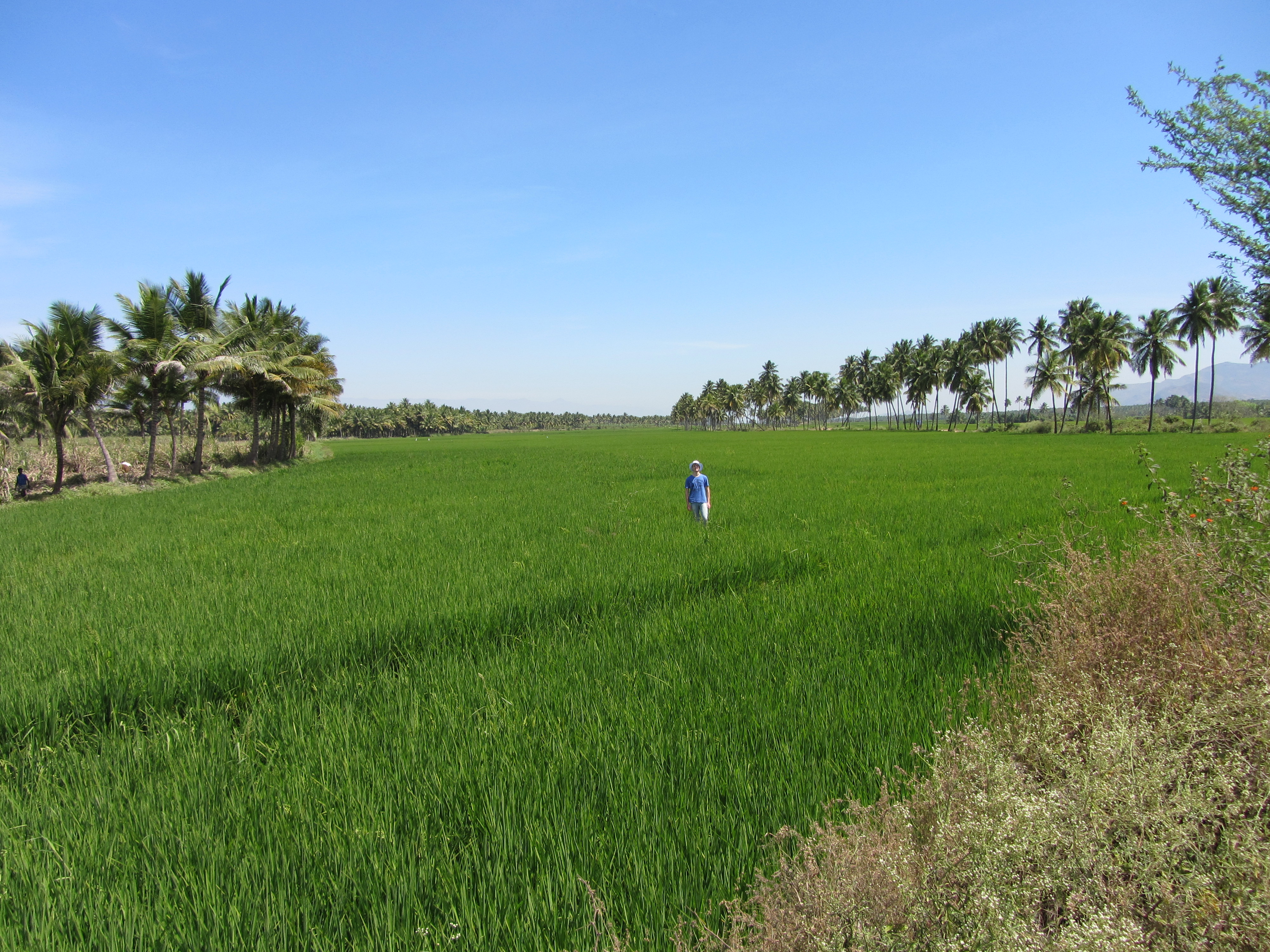
Rice Field

Uthamapalayam, Tamil Nadu India 1 februari 2016

Full sized rainbow ???? #iPhoneography #Cropic #colours #coloursofnature #sky #instalove #picoftheday #rendering #nature #psy #throwback

Mullayaar Estate[Vandiperiyar,Kerala,India]
IndiaSouth_2013-11-17_08.17.43
Topographic Map of Meghamalai View point, Meghamalai Rd, Megamalai, Tamil Nadu, India
Find elevation by address:

Places near Meghamalai View point, Meghamalai Rd, Megamalai, Tamil Nadu, India:
Megamalai
Highwavys Dam
Highways
Highways Hospital
Chinnamanur
Saptur R.f.
Sathuragiri Hills
Watrap
Sathuragiri Shri Sundara Mahalingam Temple
Rajapalayam
Srivilliputhur
Sedapatti
T.kallupatti
Sivakasi
Virudhunagar
Vembakottai
Sankarankovil
Virudhunagar Government Hospital Icu Unit
Virudhunagar
Tirumangalam
Recent Searches:
- Elevation of Tater Hill, Oklahoma, USA
- Elevation of NY-, Friendship, NY, USA
- Elevation of 64 Danakas Dr, Winnipeg, MB R2C 5N7, Canada
- Elevation of 4 Vale Rd, Sheffield S3 9QX, UK
- Elevation of Keene Point Drive, Keene Point Dr, Grant, AL, USA
- Elevation of State St, Zanesville, OH, USA
- Elevation of Austin Stone Dr, Haslet, TX, USA
- Elevation of Bydgoszcz, Poland
- Elevation of Bydgoszcz, Poland
- Elevation of Calais Dr, Del Mar, CA, USA