Elevation of Rampurhat, West Bengal, India
Location: India > West Bengal > Birbhum >
Longitude: 87.7793421
Latitude: 24.1744845
Elevation: 35m / 115feet
Barometric Pressure: 101KPa
Elevation Map:
Satellite Map:
Related Photos:

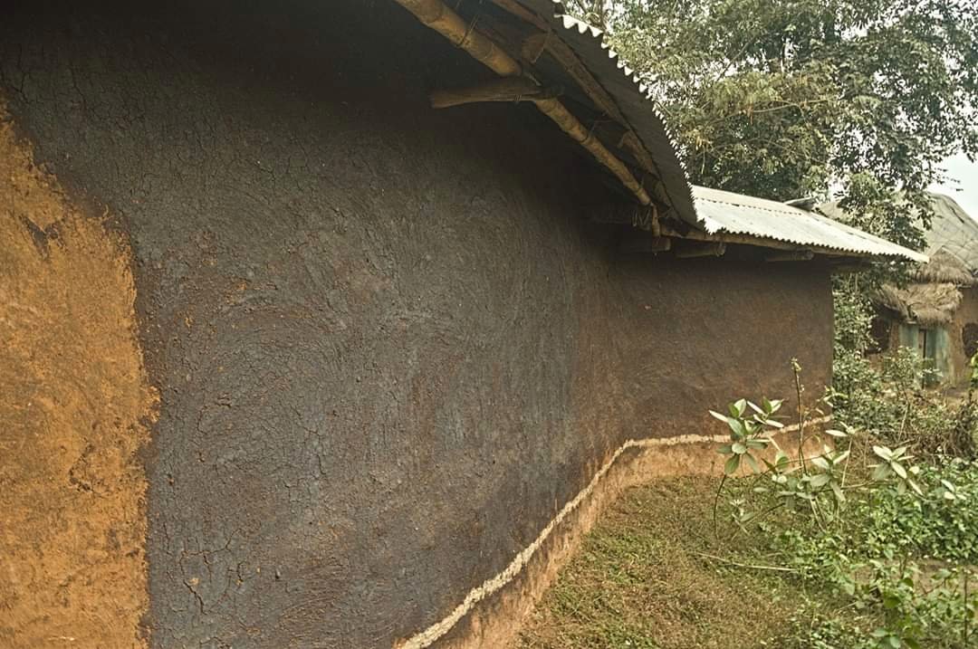
village house

terracotta works
terracotta works

Terracotta works

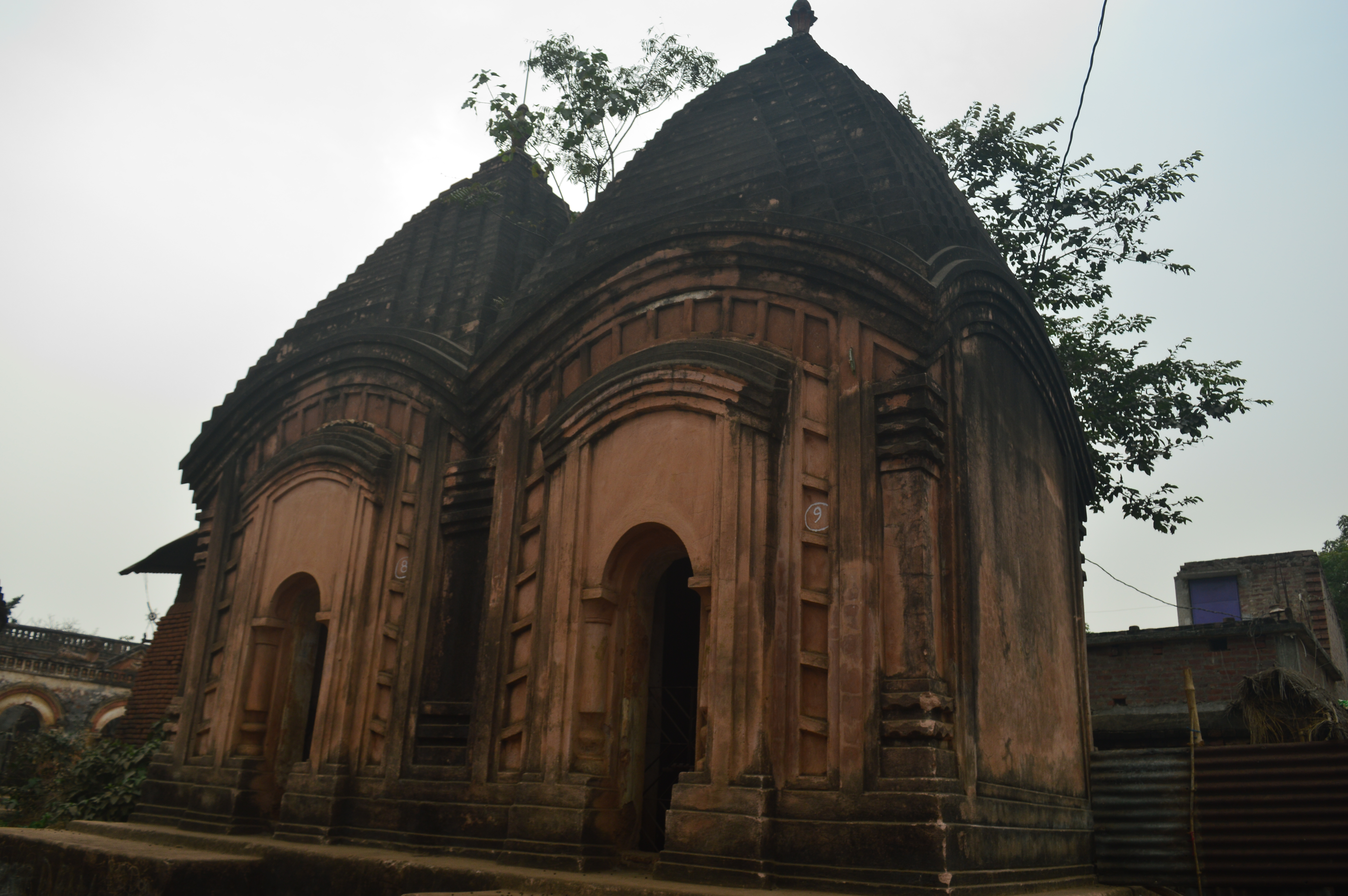
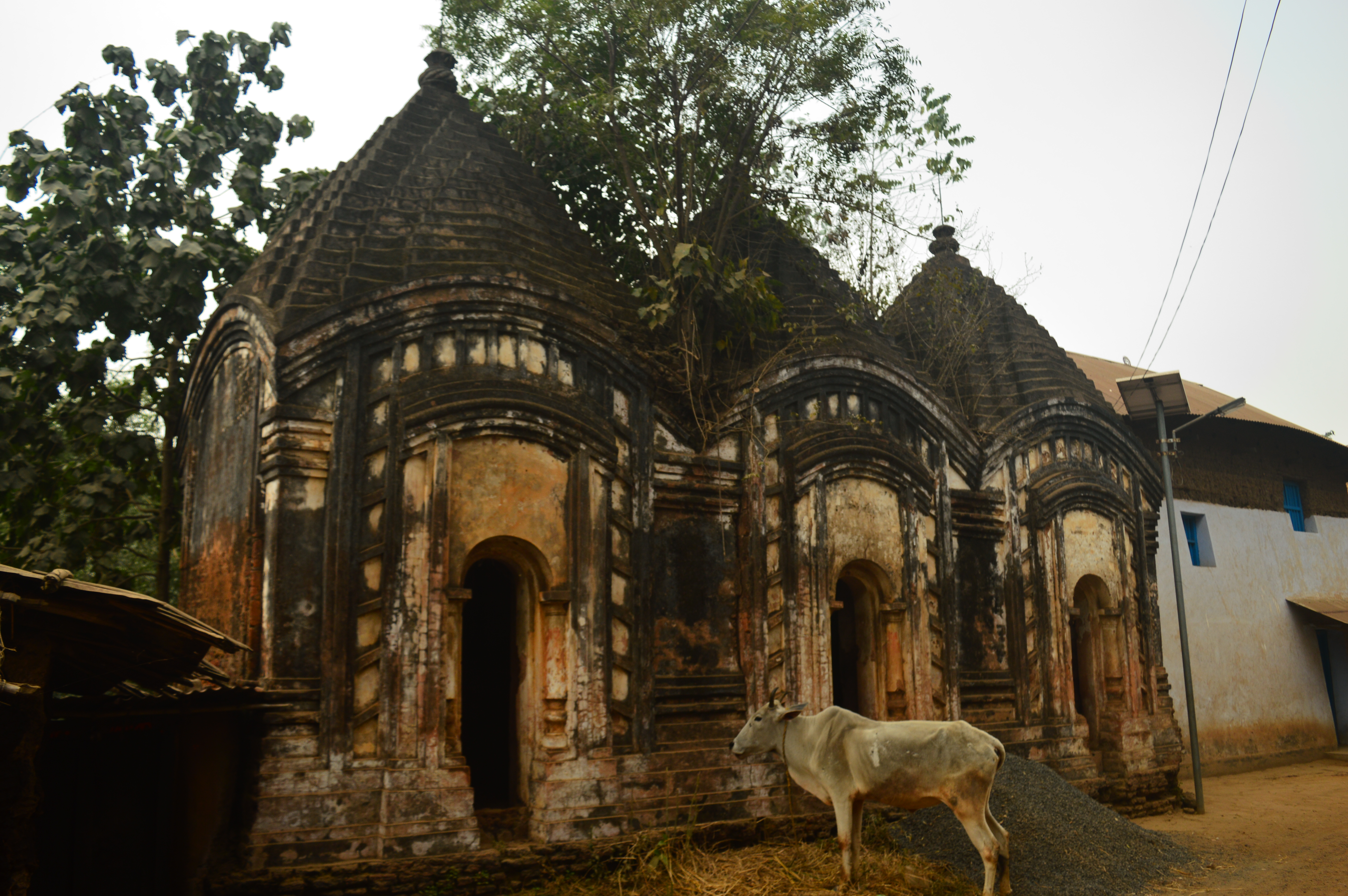
Temples of Maluti Dumka Jharkhand

Temples of Maluti Dumka Jharkhand

Temples of Maluti Dumka Jharkhand

Temples of Maluti Dumka Jharkhand
Temples of Maluti Dumka Jharkhand

Temples of Maluti Dumka Jharkhand

Temples of Maluti Dumka Jharkhand
Temples of Maluti Dumka Jharkhand
Temples of Maluti Dumka Jharkhand
Temples of Maluti Dumka Jharkhand
Temples of Maluti Dumka Jharkhand

Temples of Maluti Dumka Jharkhand
Hut... Dumka Jharkhand

Village road... Maluti Jharkhand

Village life.. Dumka Jharkhand

Water Drops

Belief | Tarapith | West Bengal | India. #temples #westbengal #kali #goddess #instaedit #instapic #india
Topographic Map of Rampurhat, West Bengal, India
Find elevation by address:

Places near Rampurhat, West Bengal, India:
Atla
Santhal Pargana Division
Murshidabad
Berhampore
Murshidabad
Dhuliyan
Dumka
Lalgola
Dumka
Bhagwangola
Ramgarh
Barharwa
Chapainawabganj District
Godda
Godda
Malda
Dhalsana
Eklakhi
Malda
Recent Searches:
- Elevation of Kota Ternate Utara, Ternate City, North Maluku, Indonesia
- Elevation of Allon St, Oceanside, NY, USA
- Elevation of Carroll Creek Rd, Custer, SD, USA
- Elevation of Lust Road, Lust Rd, Florida, USA
- Elevation of Pleasant Valley Rd NW, Adairsville, GA, USA
- Elevation of Općina Šodolovci, Croatia
- Elevation of Šodolovci, Croatia
- Elevation of Old Clairton Rd, Jefferson Hills, PA, USA
- Elevation of st Ave SE, Lisbon, ND, USA
- Elevation of Steamboat Island Road Northwest, Olympia, WA, USA