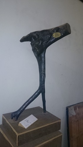
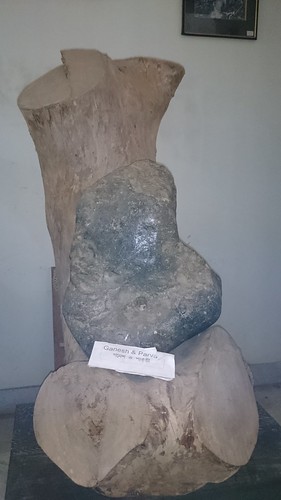
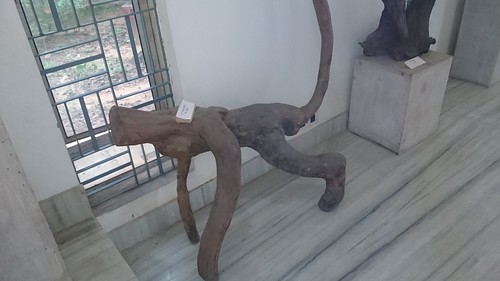
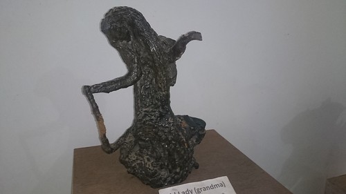
Elevation map of Birbhum, West Bengal, India
Location: India > West Bengal >
Longitude: 87.6186379
Latitude: 23.8401675
Elevation: 46m / 151feet
Barometric Pressure: 101KPa
Related Photos:
Topographic Map of Birbhum, West Bengal, India
Find elevation by address:

Places in Birbhum, West Bengal, India:
Places near Birbhum, West Bengal, India:
Bardhaman
Panagarh Bypass
Panagarh Gram
Panagarh
Durgapur
Haora
Khosbagan Main Road
Khosbagan
Burdwan
Saraswati Mata Mondir
Joypur
West Bengal
Jhapandanga
Abujhati
Krishnanagar Rajbari
Krishnanagar
Nadia
Fulia Bus Stand
Chatkatala
Phulia
Recent Searches:
- Elevation of 15th Ave SE, St. Petersburg, FL, USA
- Elevation of Beall Road, Beall Rd, Florida, USA
- Elevation of Leguwa, Nepal
- Elevation of County Rd, Enterprise, AL, USA
- Elevation of Kolchuginsky District, Vladimir Oblast, Russia
- Elevation of Shustino, Vladimir Oblast, Russia
- Elevation of Lampiasi St, Sarasota, FL, USA
- Elevation of Elwyn Dr, Roanoke Rapids, NC, USA
- Elevation of Congressional Dr, Stevensville, MD, USA
- Elevation of Bellview Rd, McLean, VA, USA


