Elevation of Joypur, West Bengal, India
Location: India > West Bengal > Bankura >
Longitude: 87.4480115
Latitude: 23.0551658
Elevation: 62m / 203feet
Barometric Pressure: 101KPa
Elevation Map:
Satellite Map:
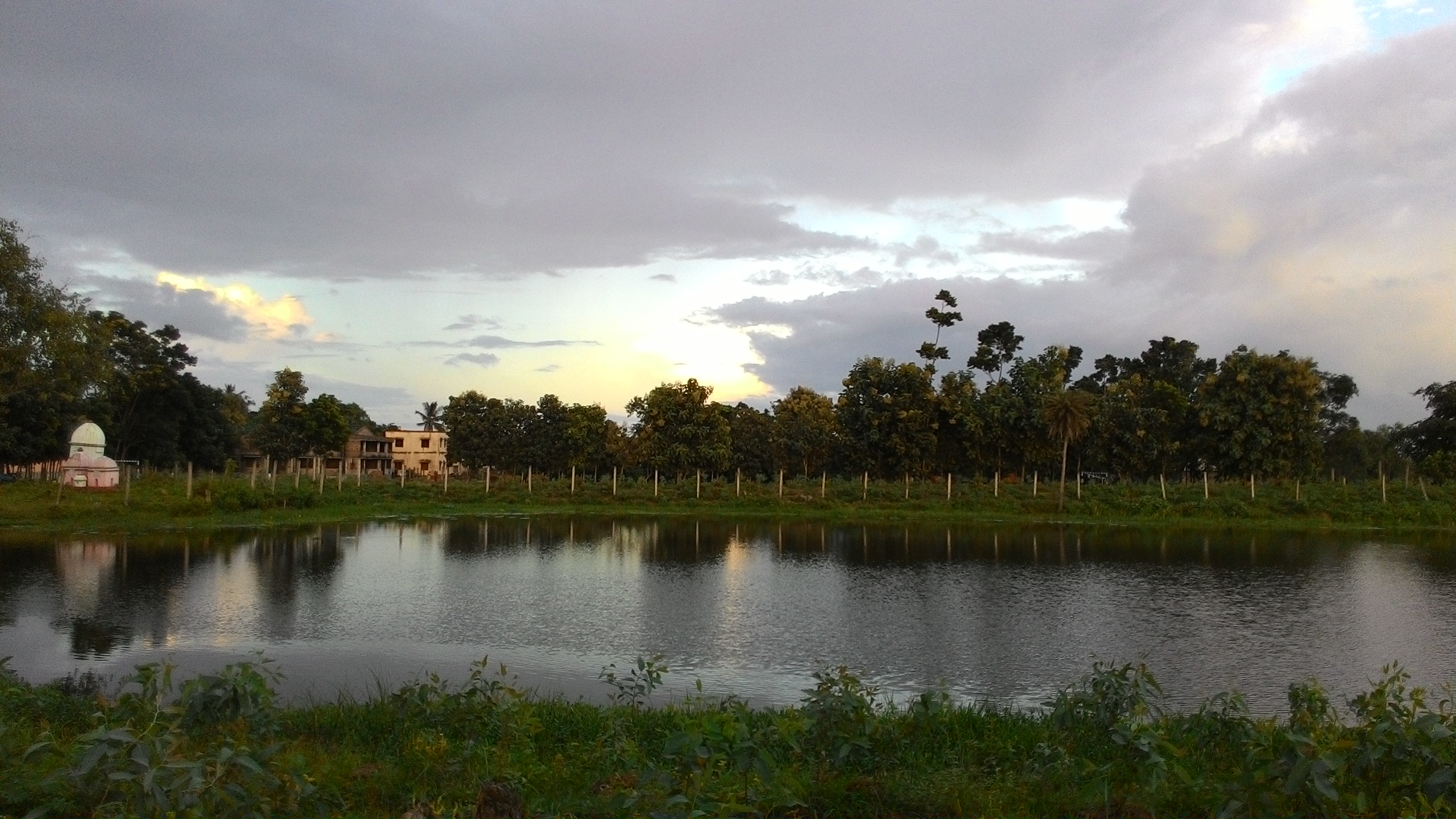
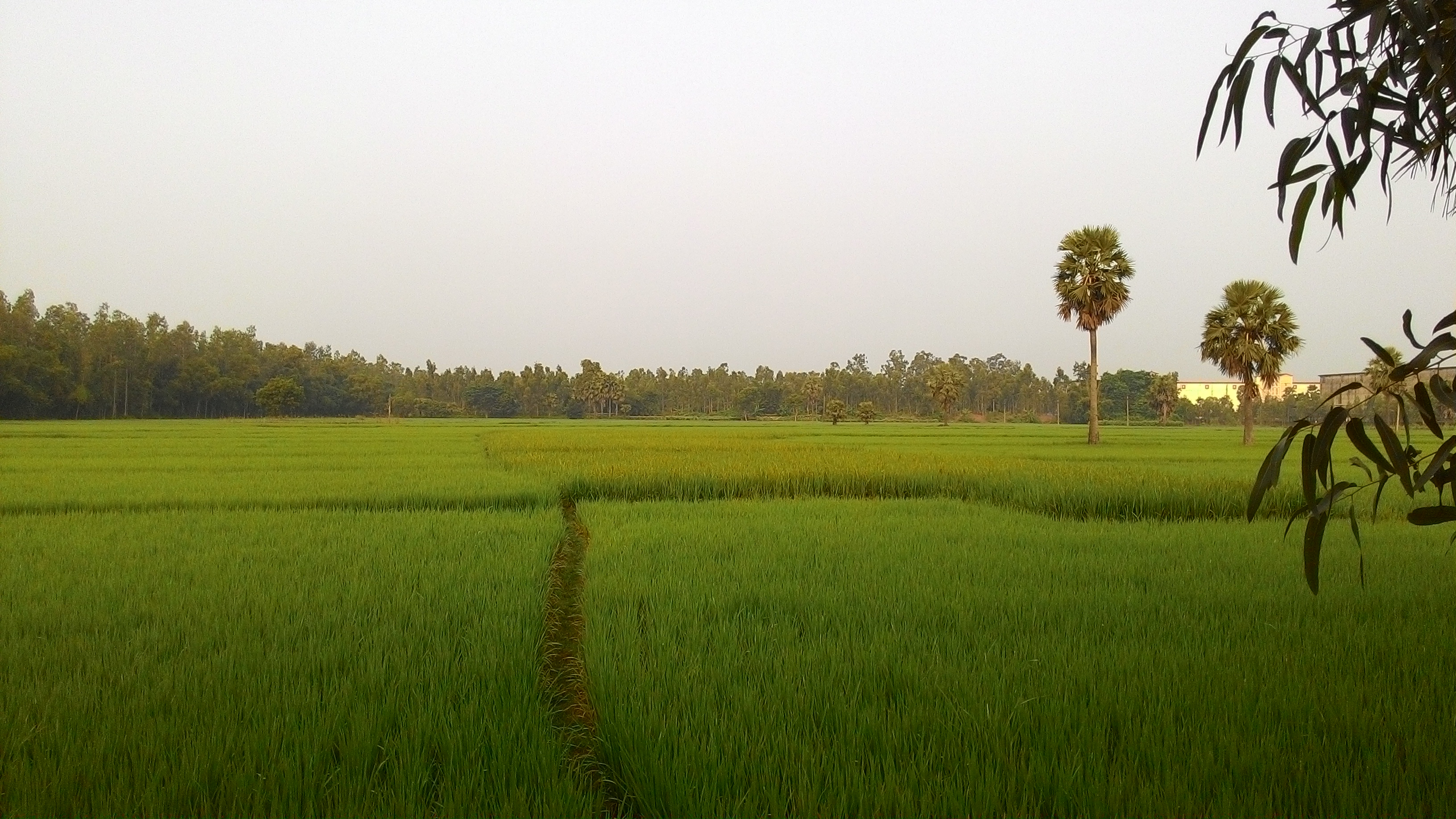
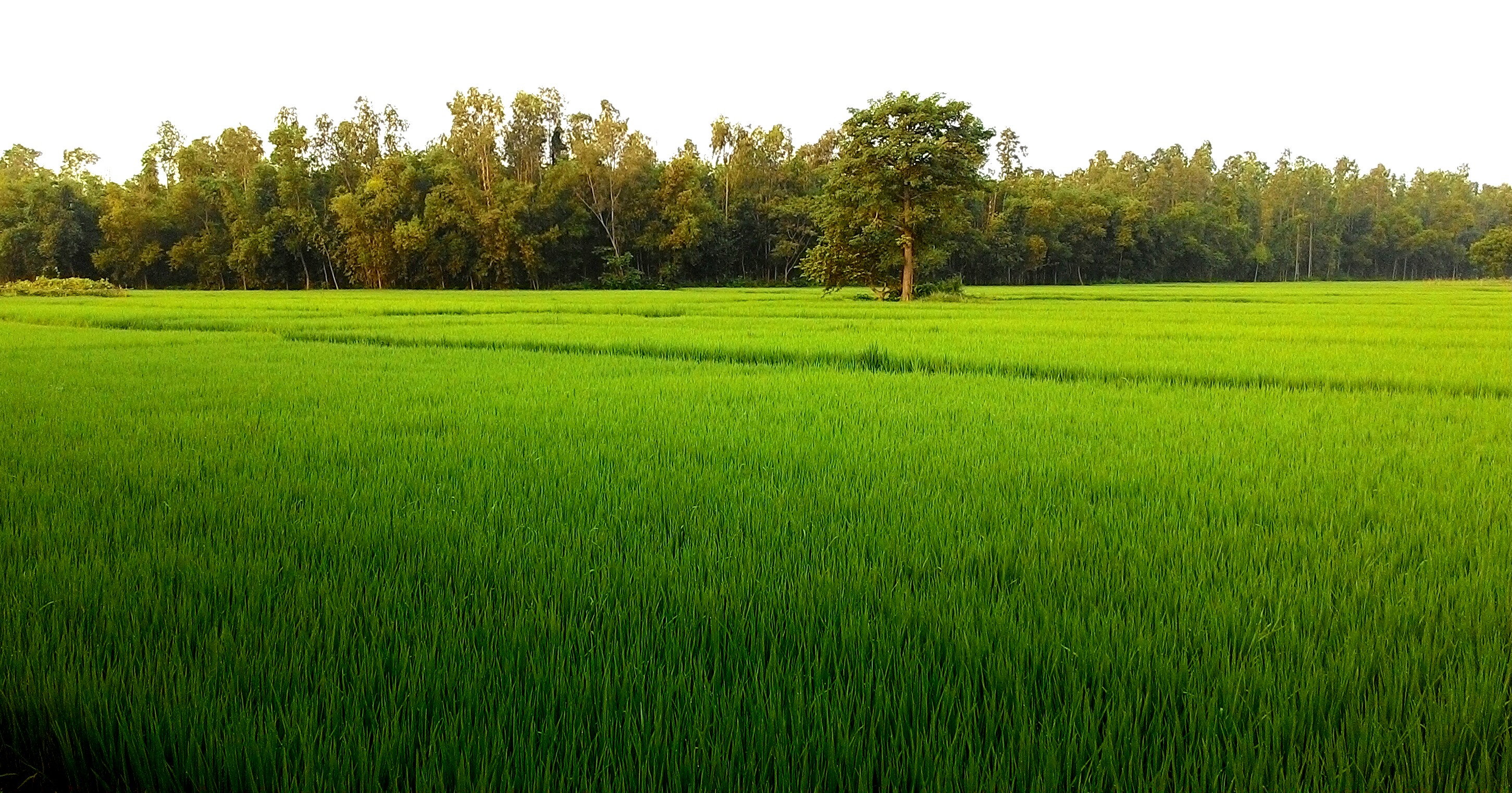
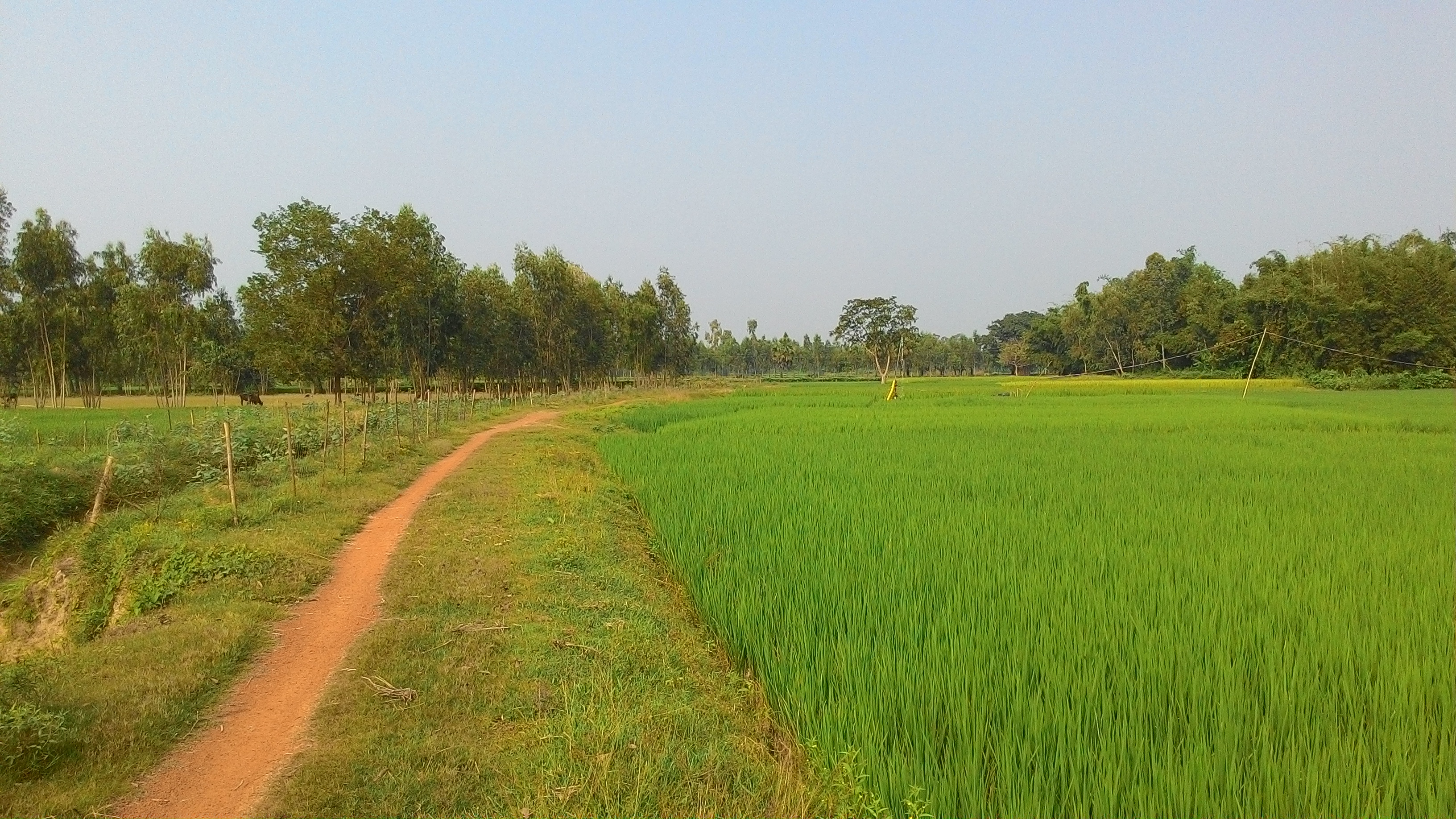
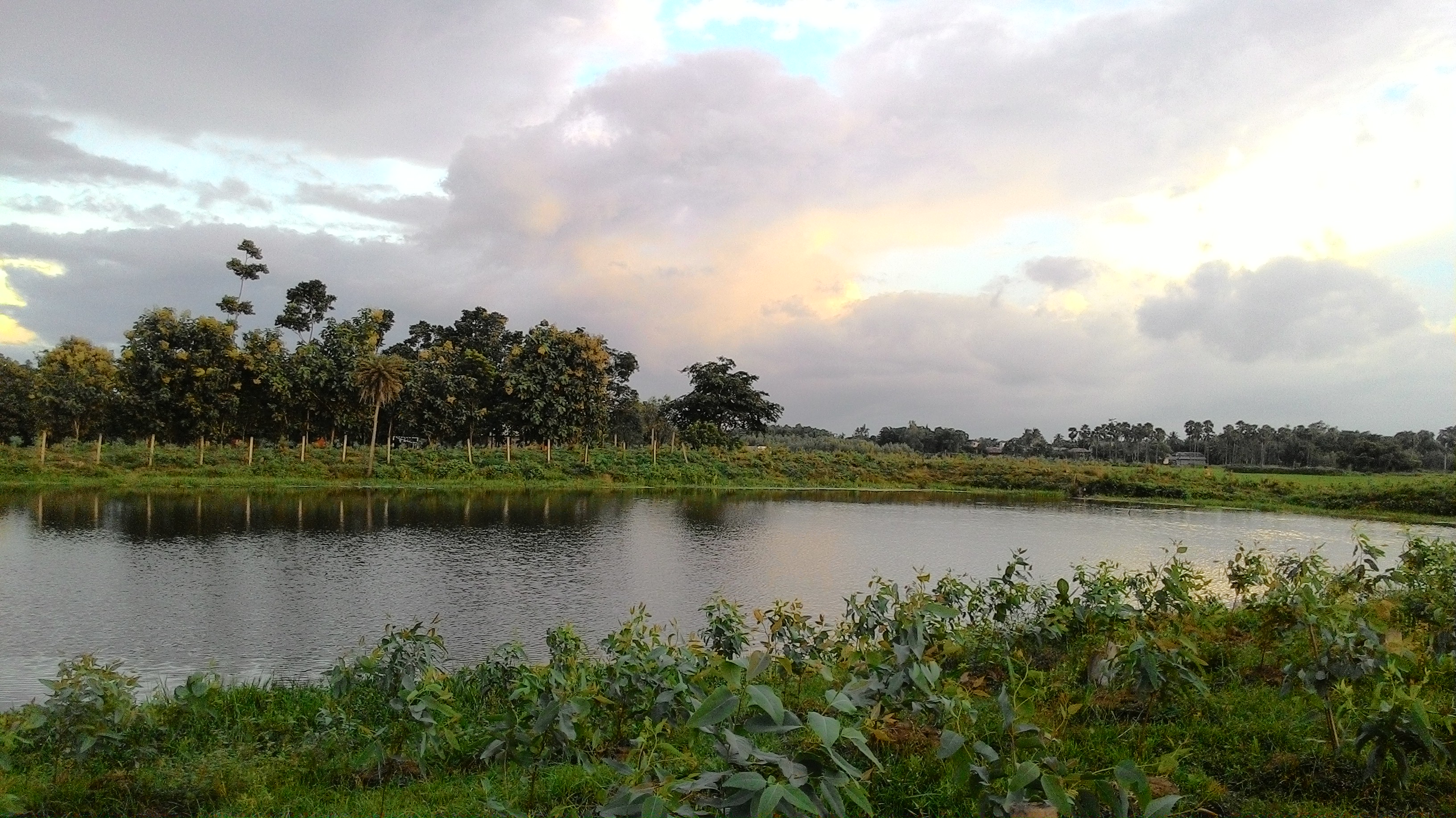
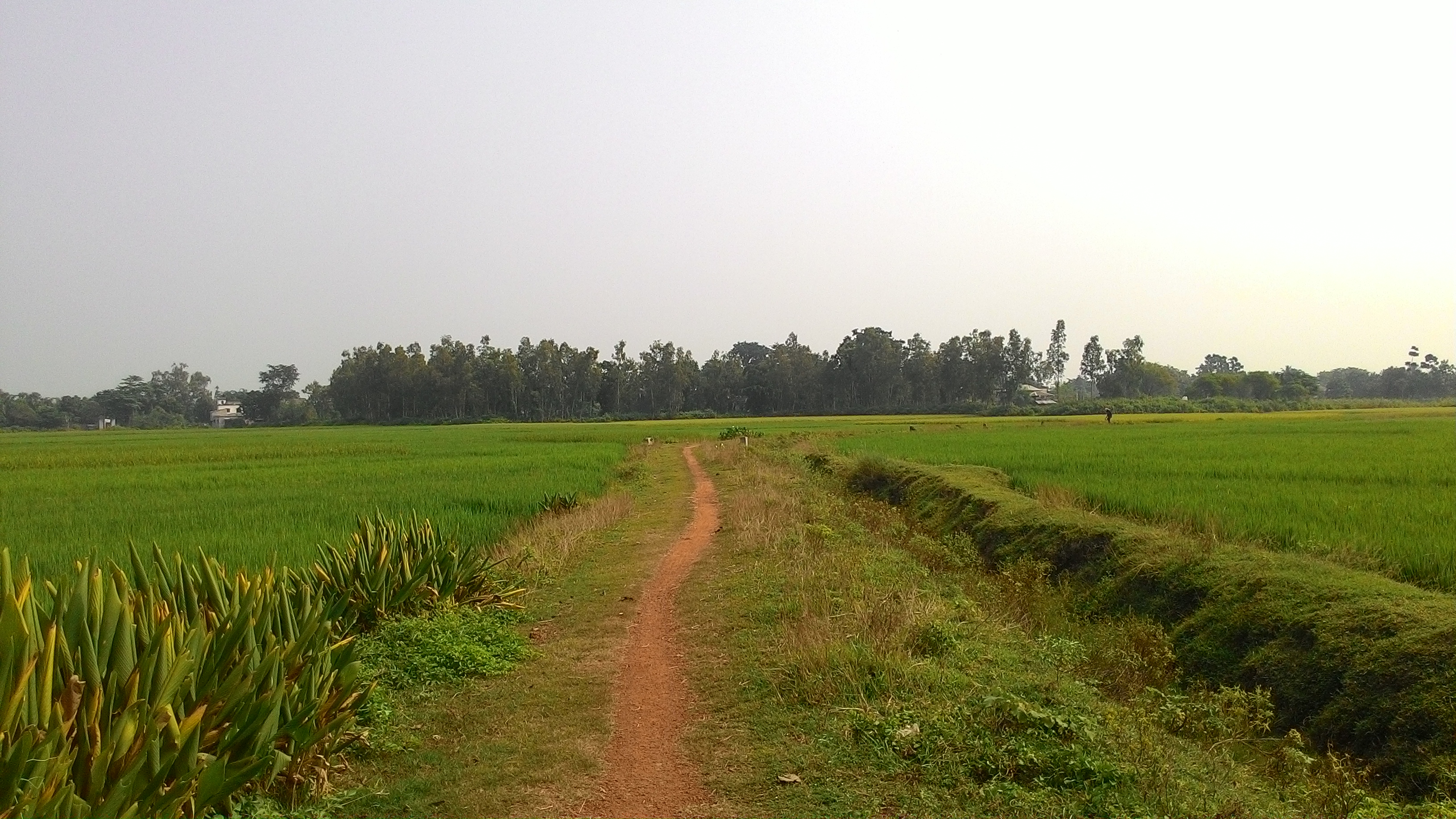
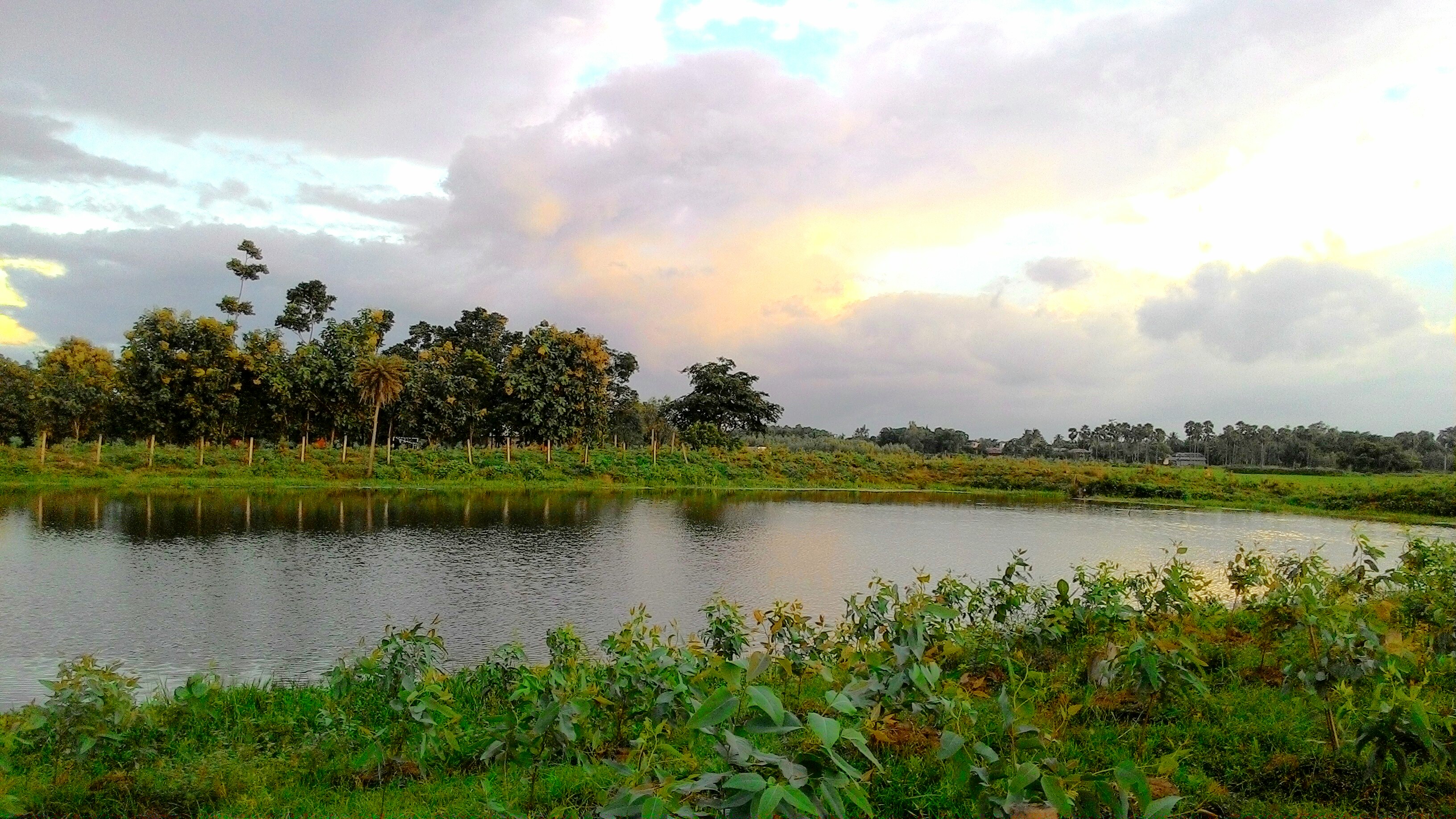
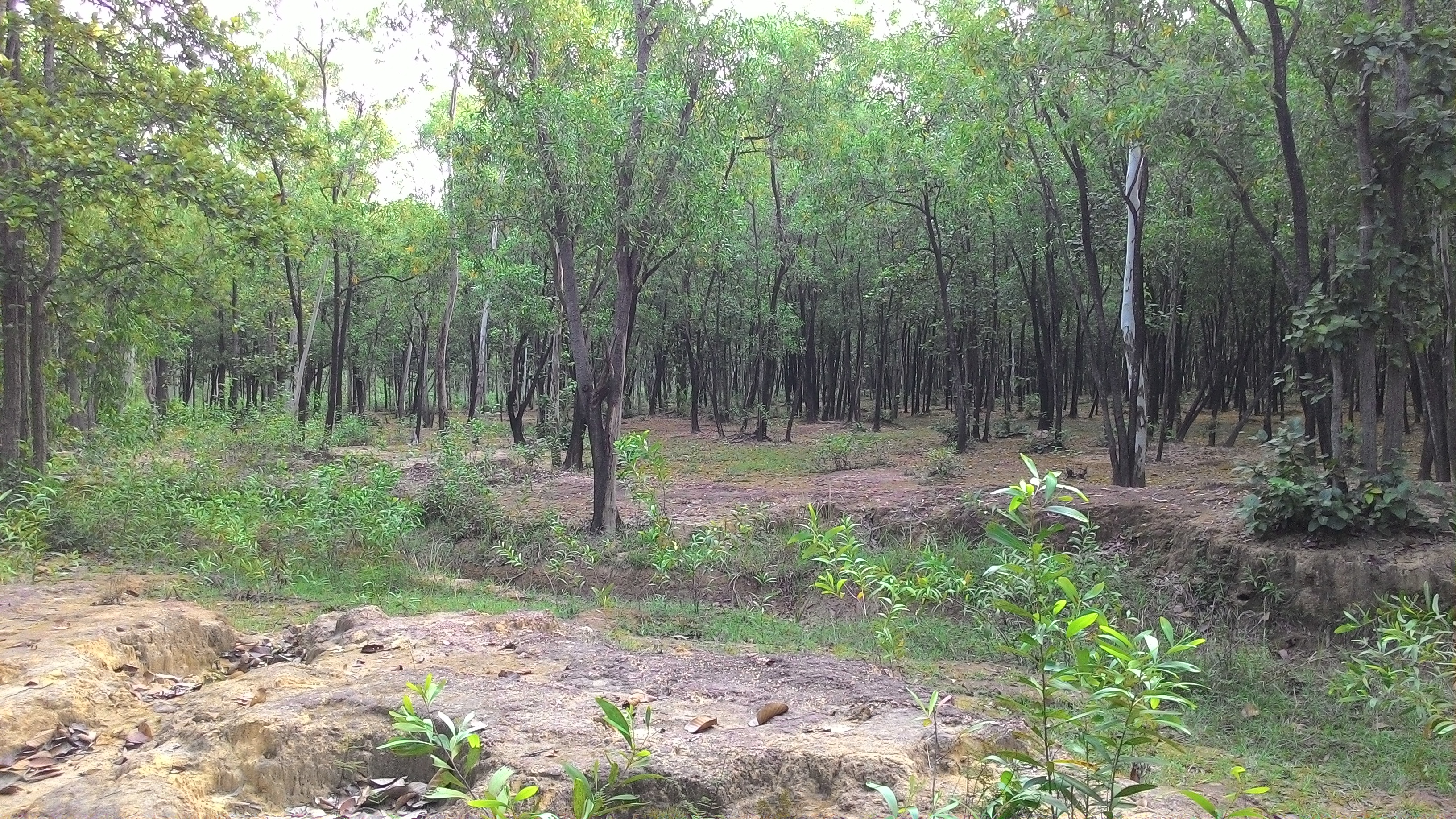
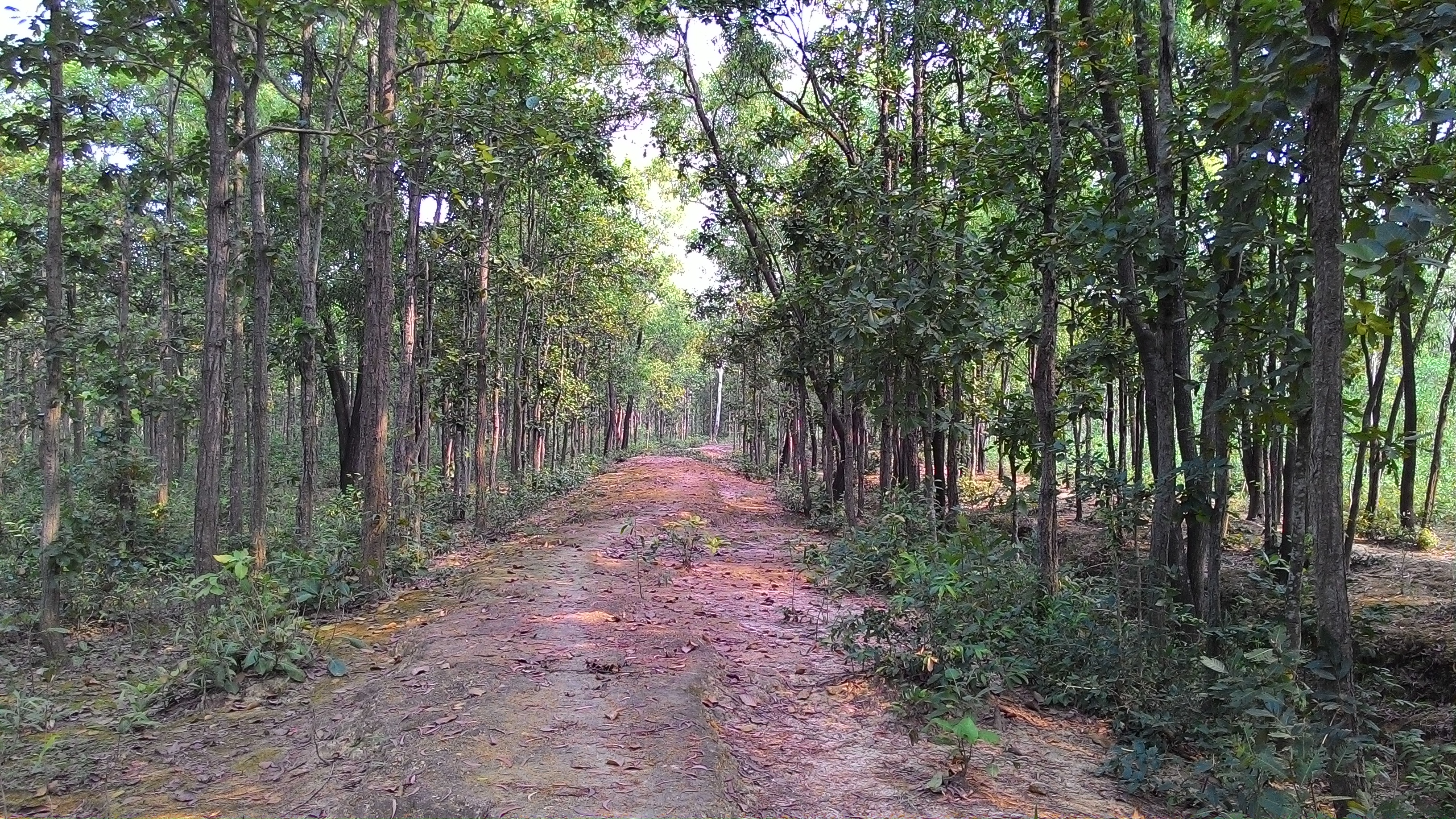
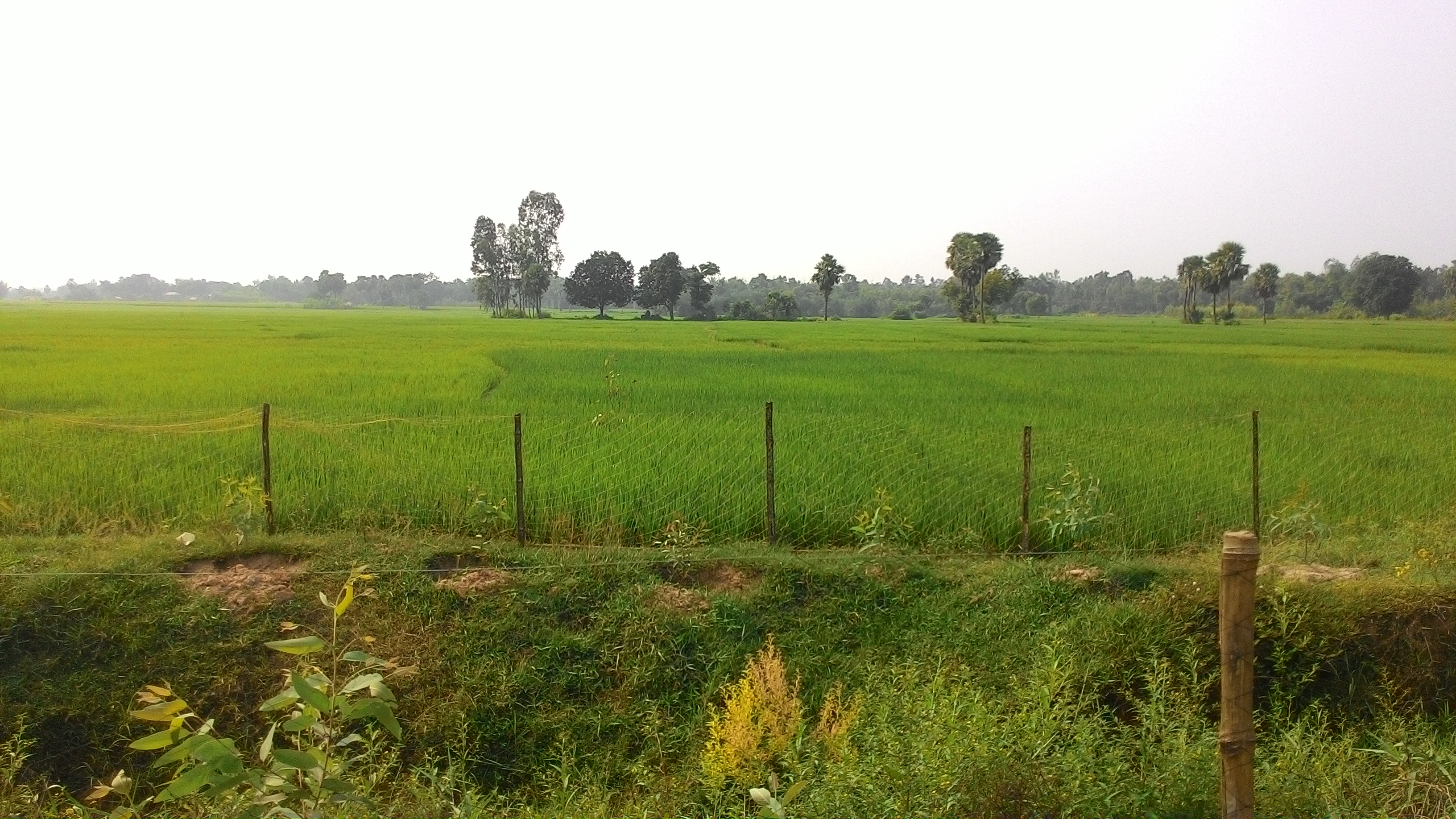
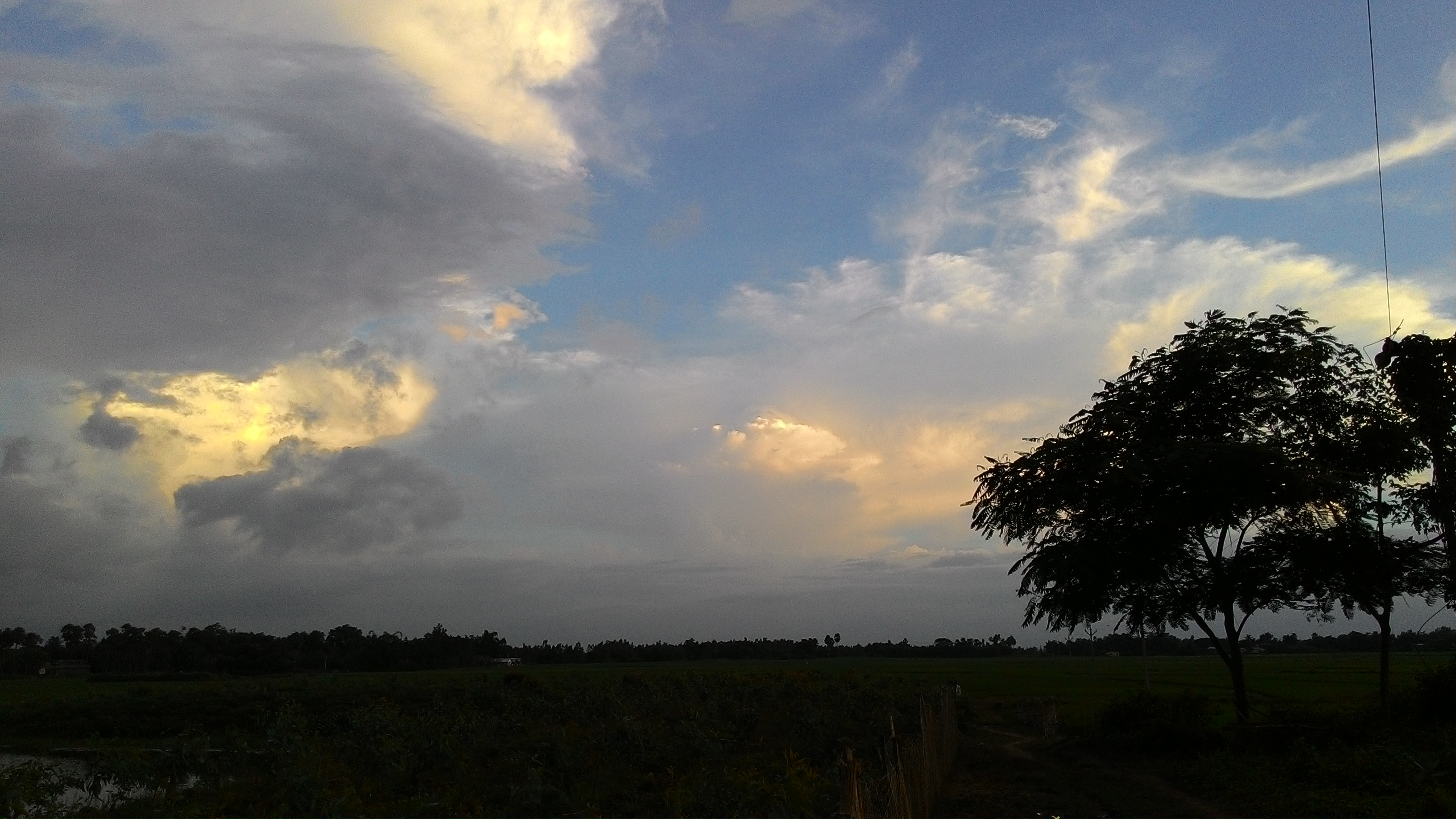
Related Photos:
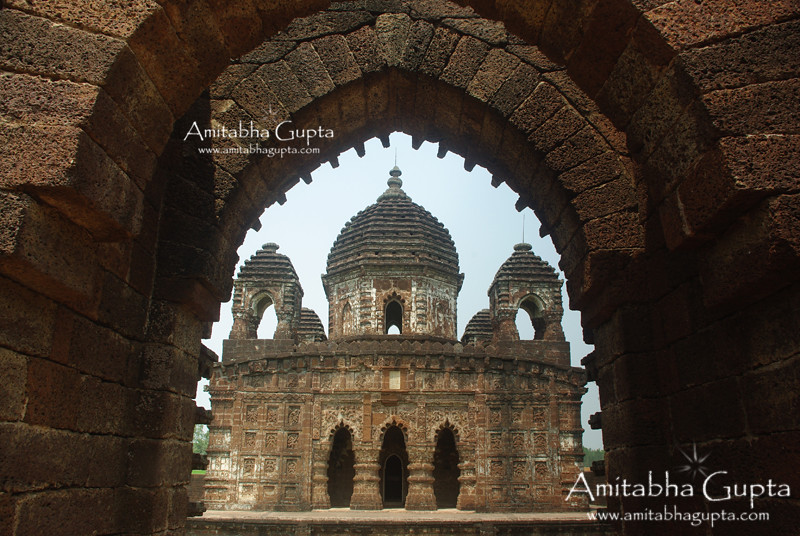
GokulChand Temple, Bankura : View from Natmandap
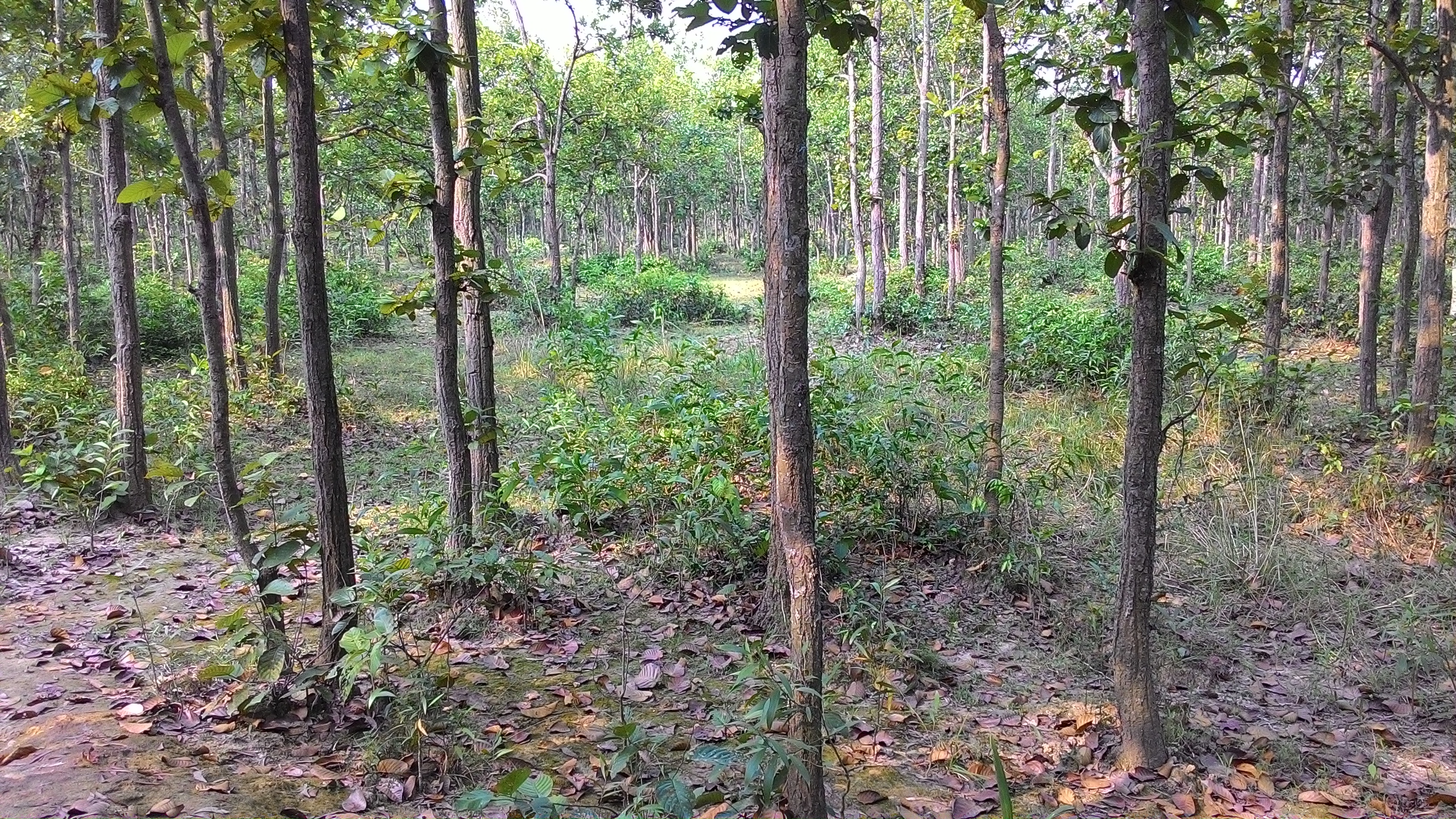
P_20140906_173744
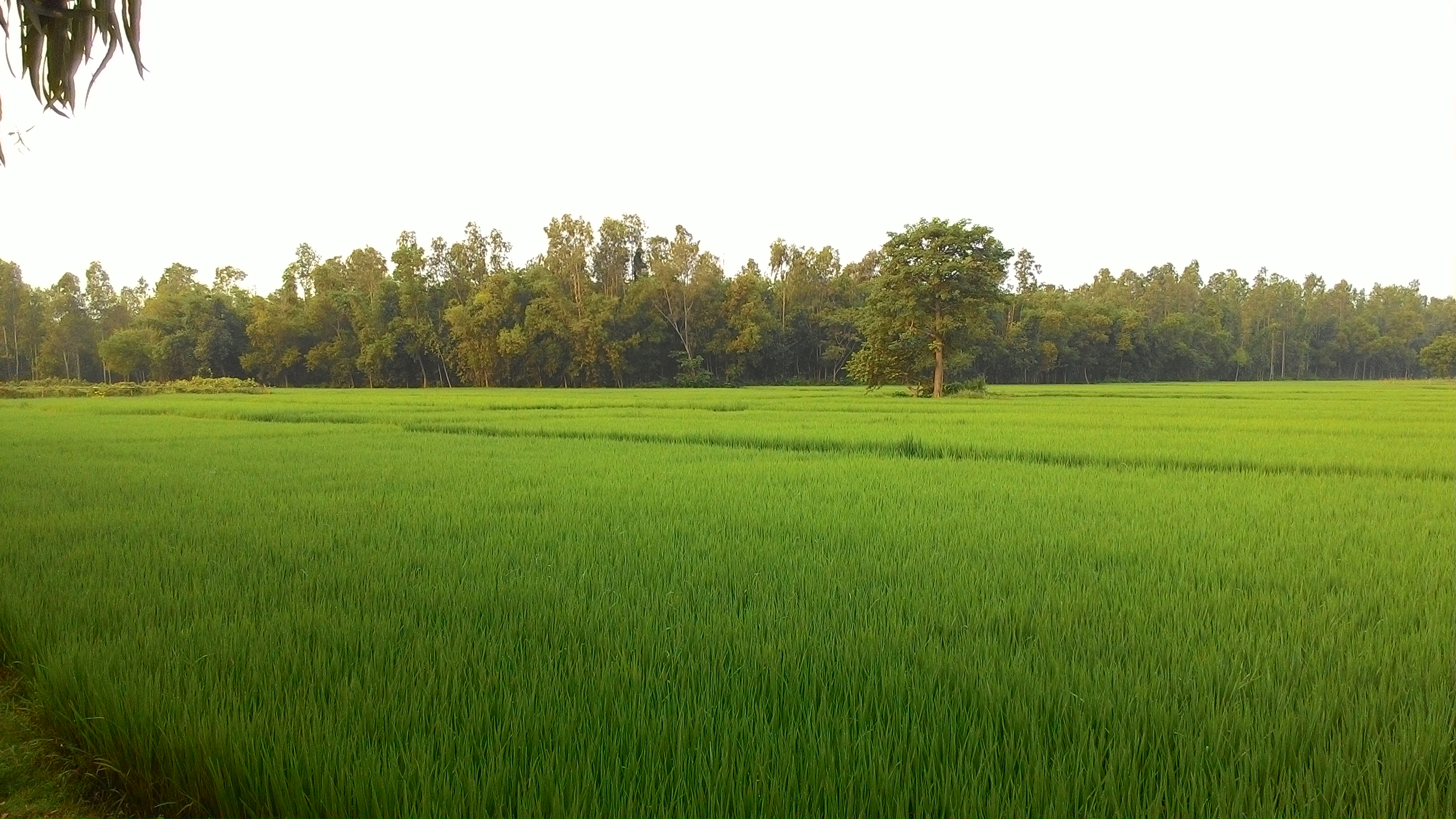
P_20141004_064124

P_20141004_071607
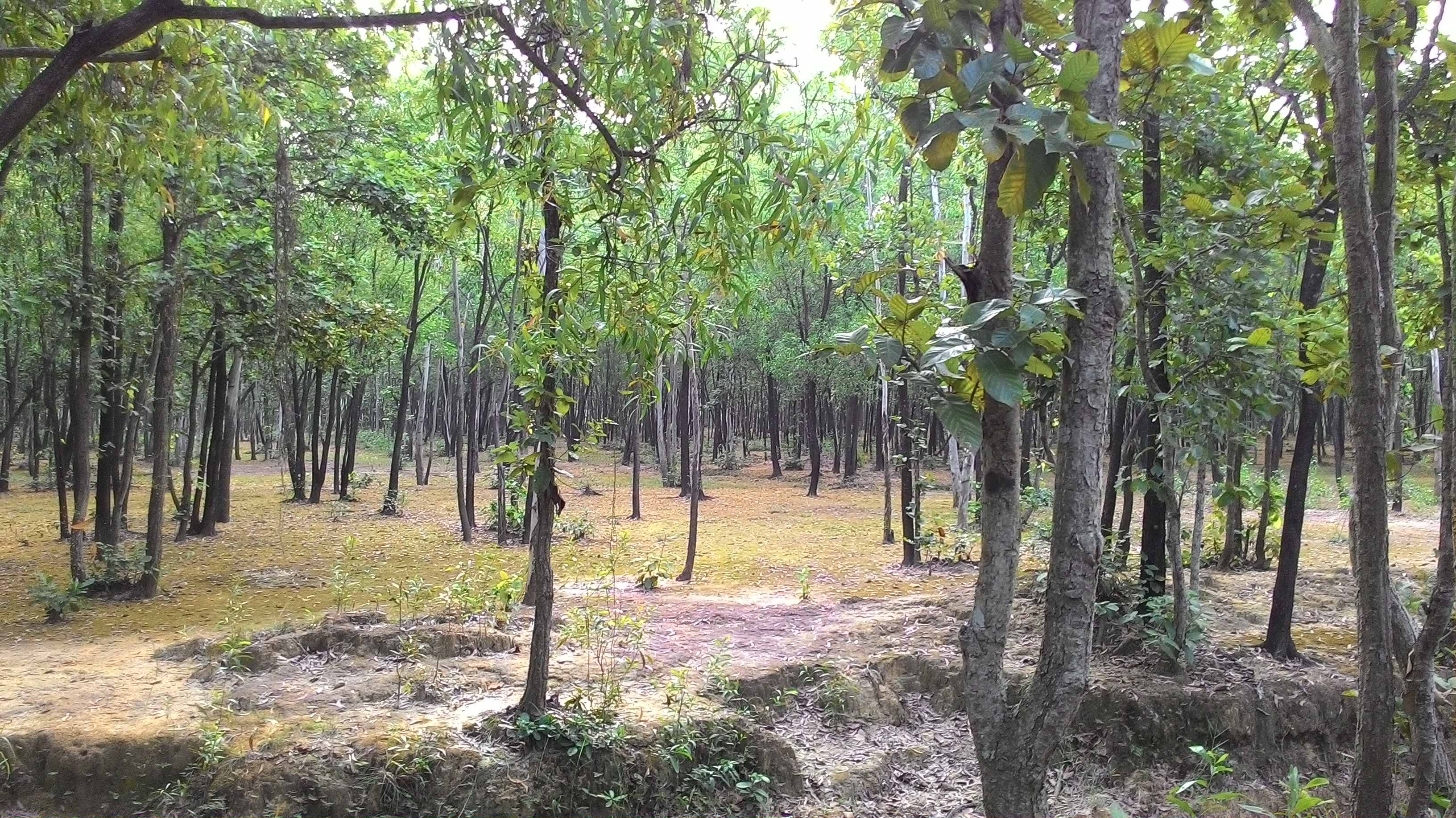
P_20141004_064136_1
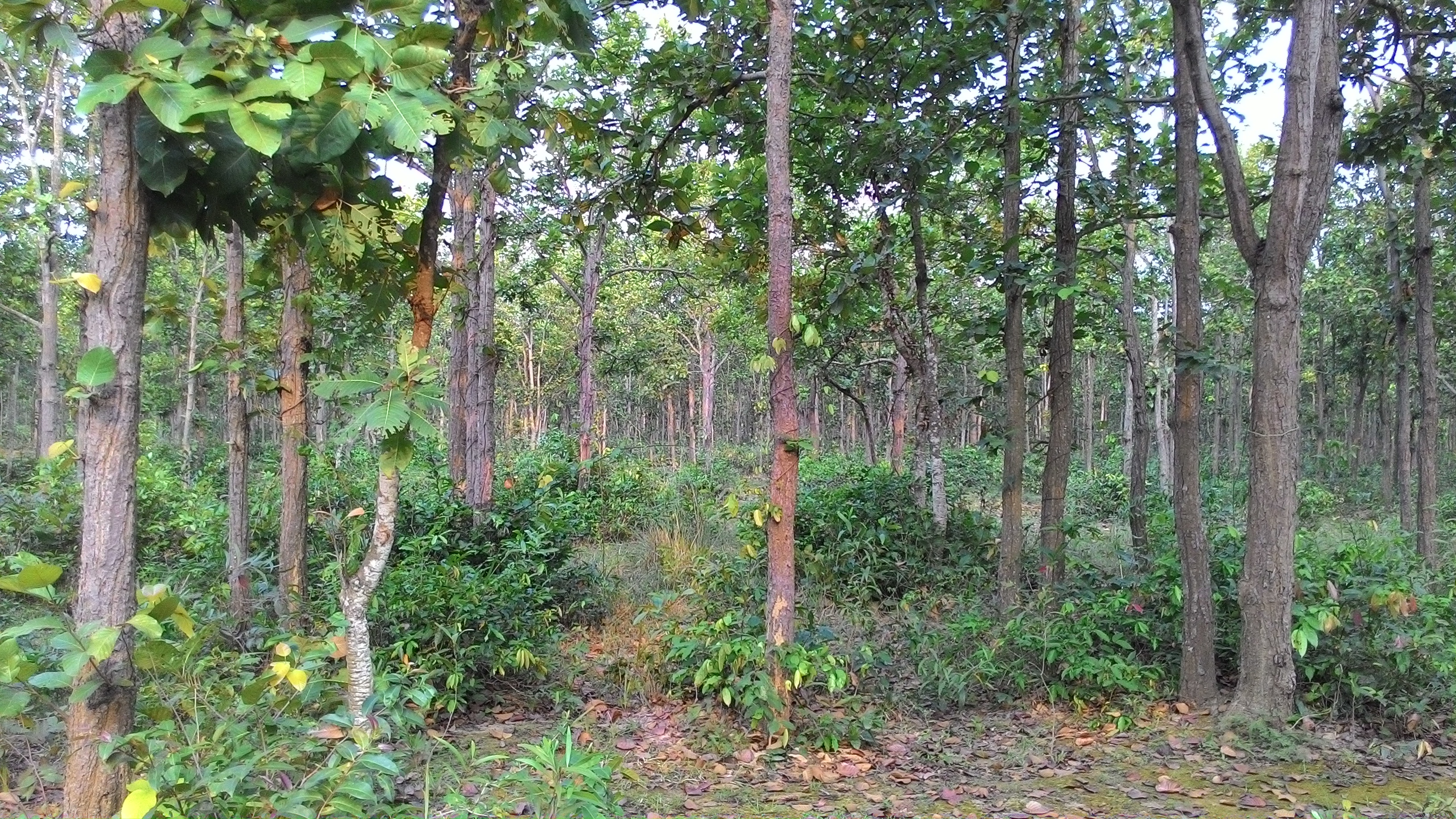
P_20141004_085227
P_20140906_173751

P_20140906_174328
P_20141004_090552

P_20140906_173526_LL_1
P_20140906_173751_1
P_20141004_082335

P_20140906_173744_1
P_20141004_064136
P_20141004_070648
P_20141004_070728
P_20141004_070836
P_20141004_082324
P_20141004_085239
P_20140906_173911
Topographic Map of Joypur, West Bengal, India
Find elevation by address:

Places near Joypur, West Bengal, India:
Saraswati Mata Mondir
Haora
Panagarh
Panagarh Gram
Panagarh Bypass
West Bengal
Bardhaman
Khosbagan Main Road
Burdwan
Khosbagan
Durgapur
Jhapandanga
Abujhati
Howrah
Birbhum
Krishnapur
Howrah
Chinsurah
Bhatpara
Maheshtala
Recent Searches:
- Elevation of Beall Road, Beall Rd, Florida, USA
- Elevation of Leguwa, Nepal
- Elevation of County Rd, Enterprise, AL, USA
- Elevation of Kolchuginsky District, Vladimir Oblast, Russia
- Elevation of Shustino, Vladimir Oblast, Russia
- Elevation of Lampiasi St, Sarasota, FL, USA
- Elevation of Elwyn Dr, Roanoke Rapids, NC, USA
- Elevation of Congressional Dr, Stevensville, MD, USA
- Elevation of Bellview Rd, McLean, VA, USA
- Elevation of Stage Island Rd, Chatham, MA, USA