Elevation of Haora, West Bengal, India
Location: India > West Bengal > Bardhaman >
Longitude: 87.5173274
Latitude: 23.383586
Elevation: 55m / 180feet
Barometric Pressure: 101KPa
Elevation Map:
Satellite Map:
Related Photos:

Unknown Faces of Rural Bengal
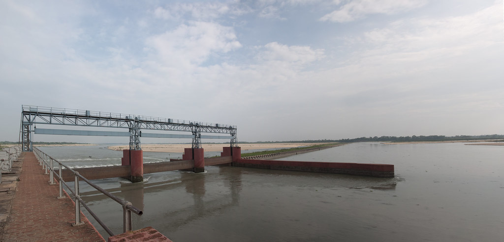
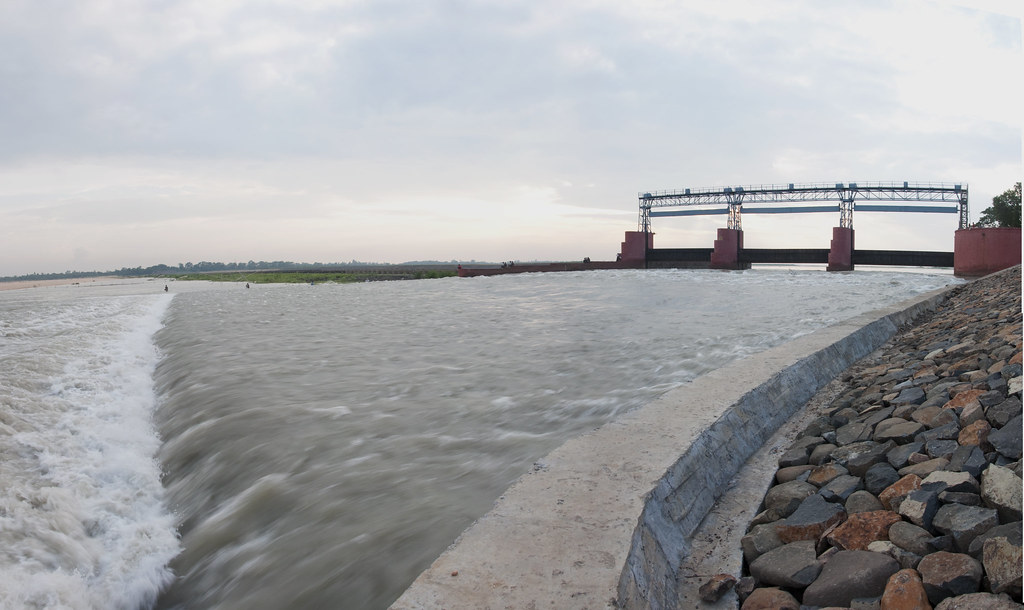
Panoramic view of Anderson Weir
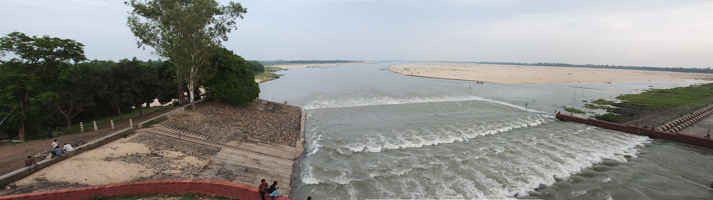
Panoramic view at Rondiha
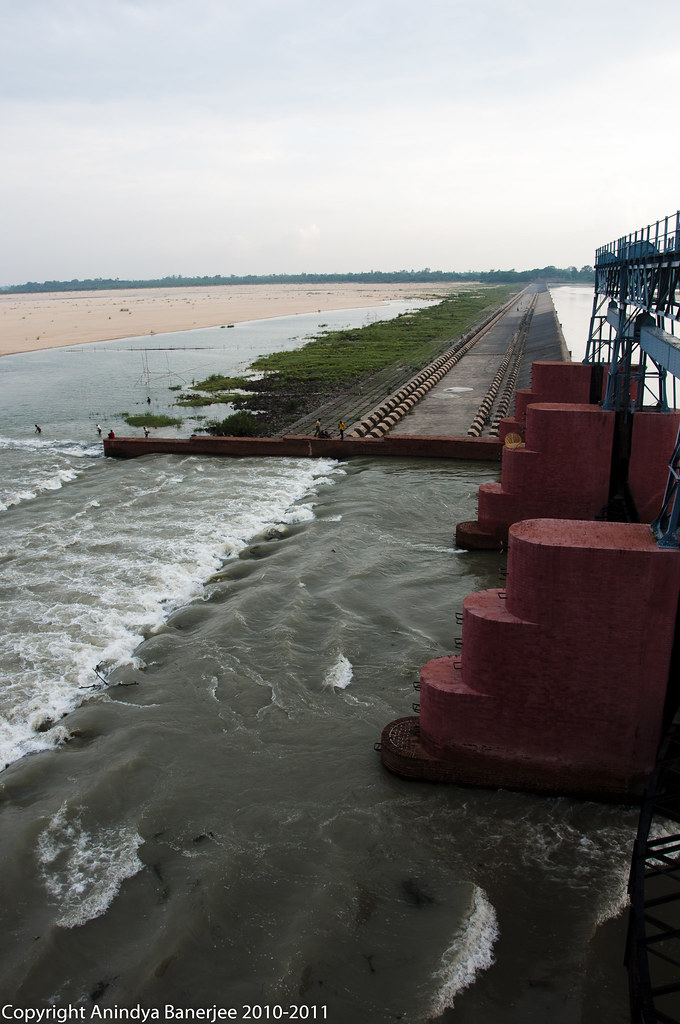
Another view of the Weir
River Damodar at Panagarh
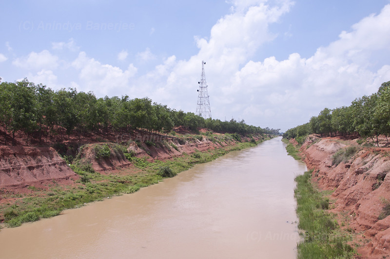
Mankar Canal

Lord Ganesha

A Thousand Bells
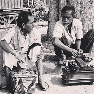
The shoemaker গরিব মুচির সেই ছেলে দুটি #photographers_of_india #streetphotography #instalike #instgood #instago #face #instapic

Koel Kankona
Topographic Map of Haora, West Bengal, India
Find elevation by address:

Places near Haora, West Bengal, India:
Panagarh
Panagarh Gram
Panagarh Bypass
Bardhaman
Durgapur
Joypur
Saraswati Mata Mondir
Khosbagan Main Road
Khosbagan
Burdwan
Birbhum
West Bengal
Jhapandanga
Abujhati
Krishnanagar Rajbari
Howrah
Krishnanagar
Chatkatala
Fulia Bus Stand
Chinsurah
Recent Searches:
- Elevation of Spaceport America, Co Rd A, Truth or Consequences, NM, USA
- Elevation of Warwick, RI, USA
- Elevation of Fern Rd, Whitmore, CA, USA
- Elevation of 62 Abbey St, Marshfield, MA, USA
- Elevation of Fernwood, Bradenton, FL, USA
- Elevation of Felindre, Swansea SA5 7LU, UK
- Elevation of Leyte Industrial Development Estate, Isabel, Leyte, Philippines
- Elevation of W Granada St, Tampa, FL, USA
- Elevation of Pykes Down, Ivybridge PL21 0BY, UK
- Elevation of Jalan Senandin, Lutong, Miri, Sarawak, Malaysia