Elevation of Bhagwangola, West Bengal, India
Location: India > West Bengal > Murshidabad >
Longitude: 88.3069213
Latitude: 24.3277217
Elevation: 25m / 82feet
Barometric Pressure: 101KPa
Elevation Map:
Satellite Map:
Related Photos:

Elevated View of Katra Mosque alias Katra Masjid

Sunset over the Bhagirathi
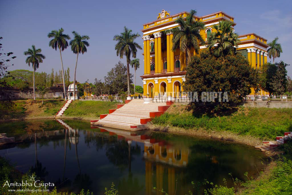
Palace at Kathgola Gardens
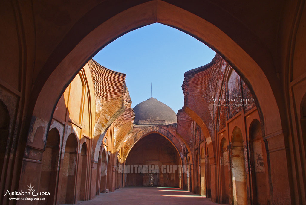
Interiors of Katra Masjid alias Katra Mosque

Fouti Masjid, Murshidabad
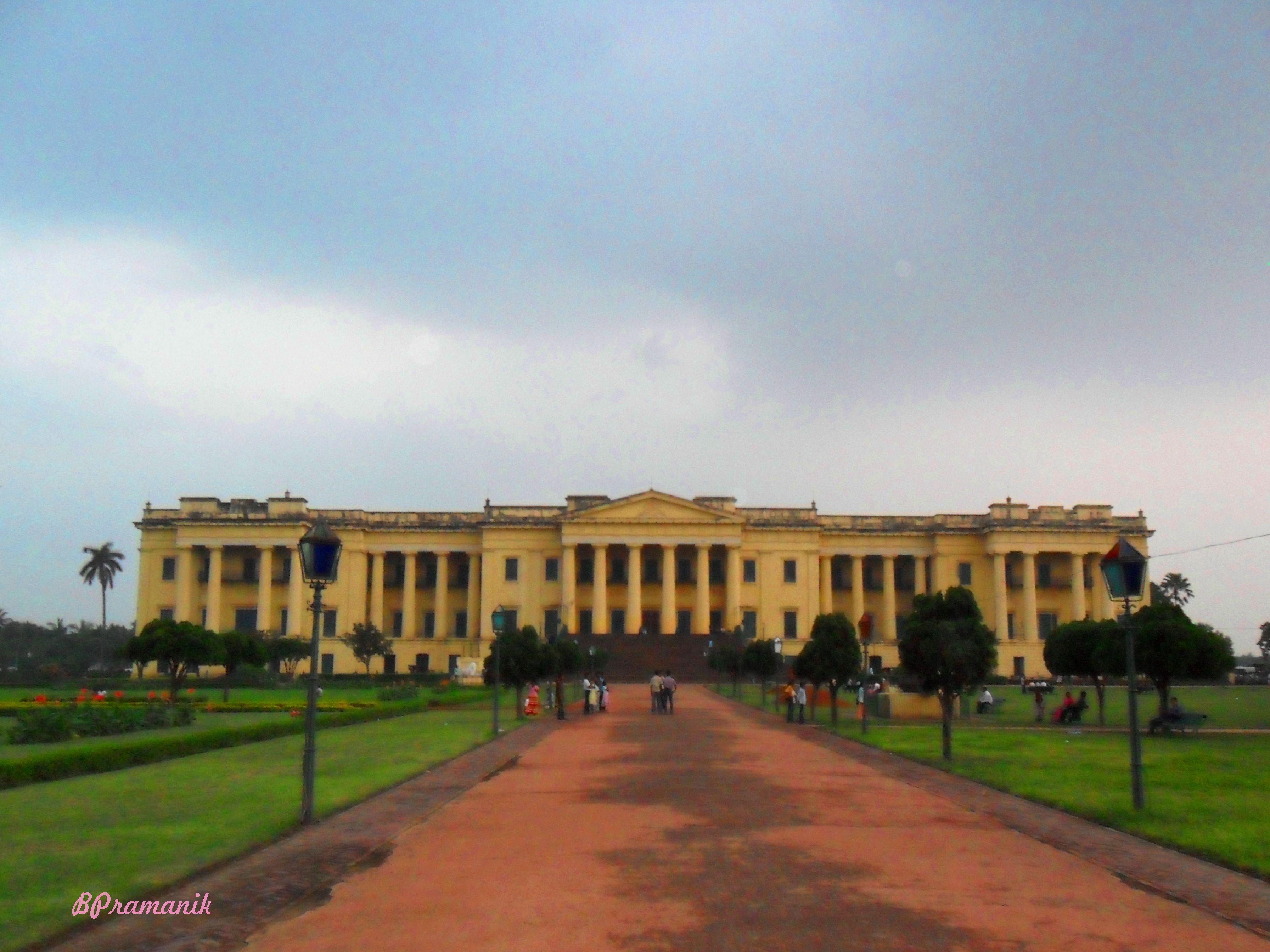
HAZARDUARI PALACE MUSEUM,, MURSHIDABAD
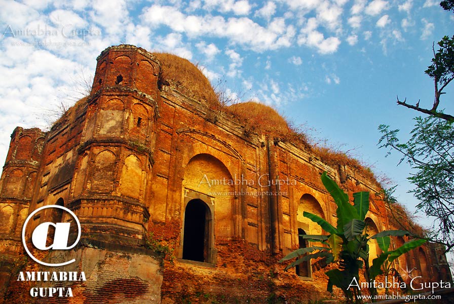
Fouti Masjid, Murshidabad

Eesana with me

Mahammada Islam eesana

Mahammada Islam eesana

Tanaj with me
দৃশ্যমান

উঁকি
Incredible!
Nature in her dream!
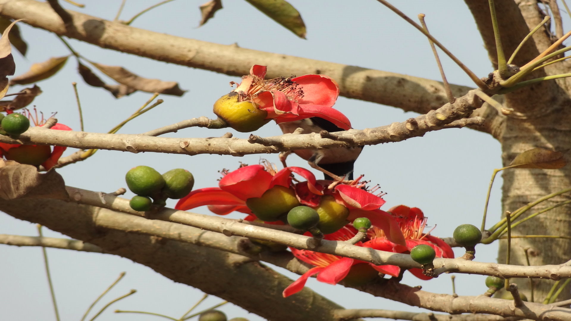
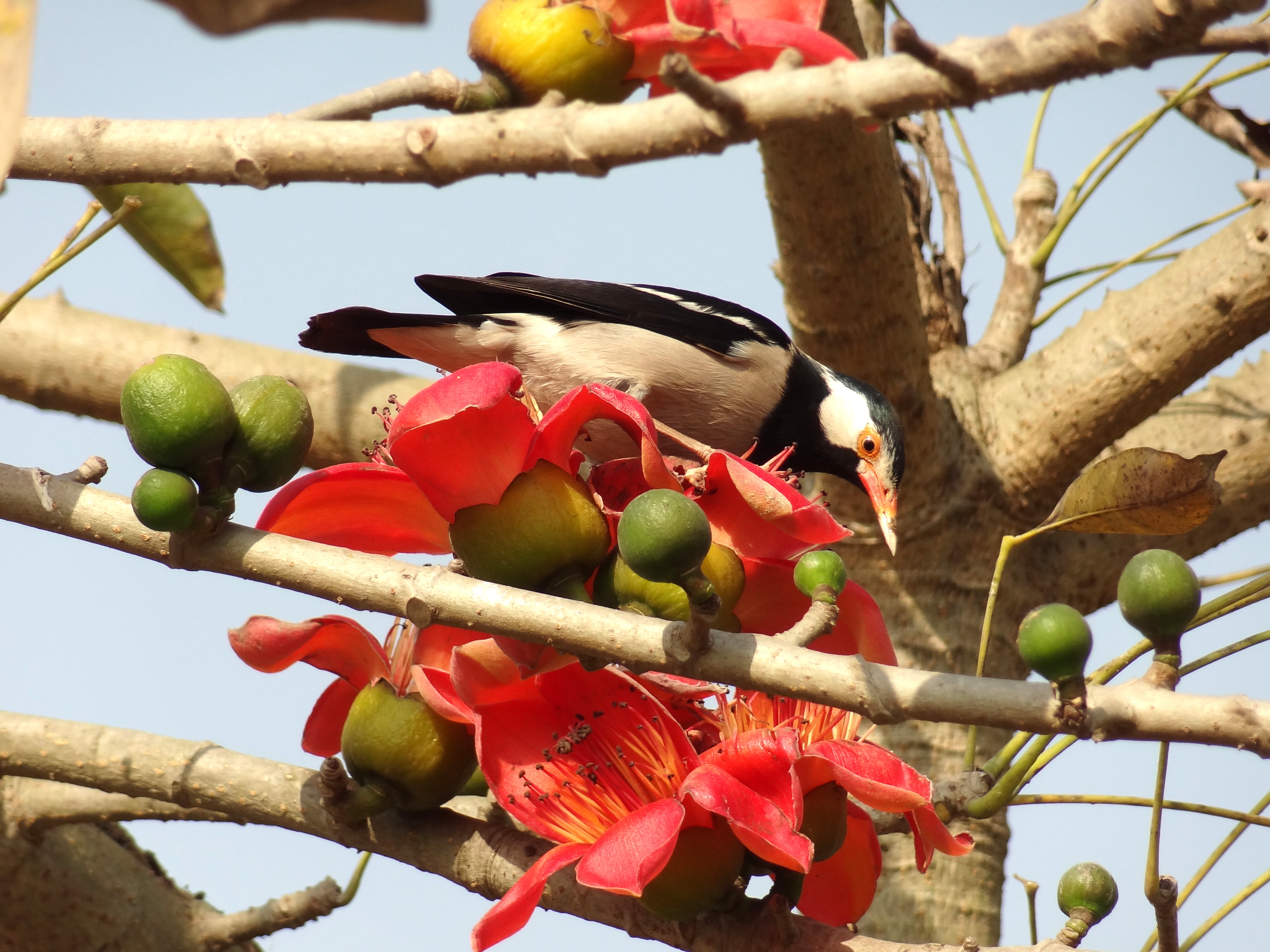
Nature in her full bloom.
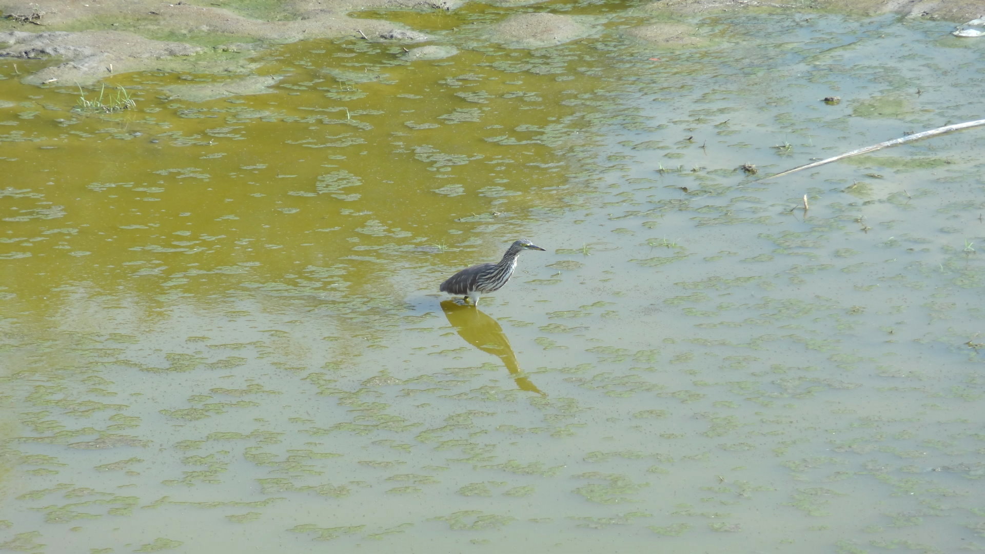
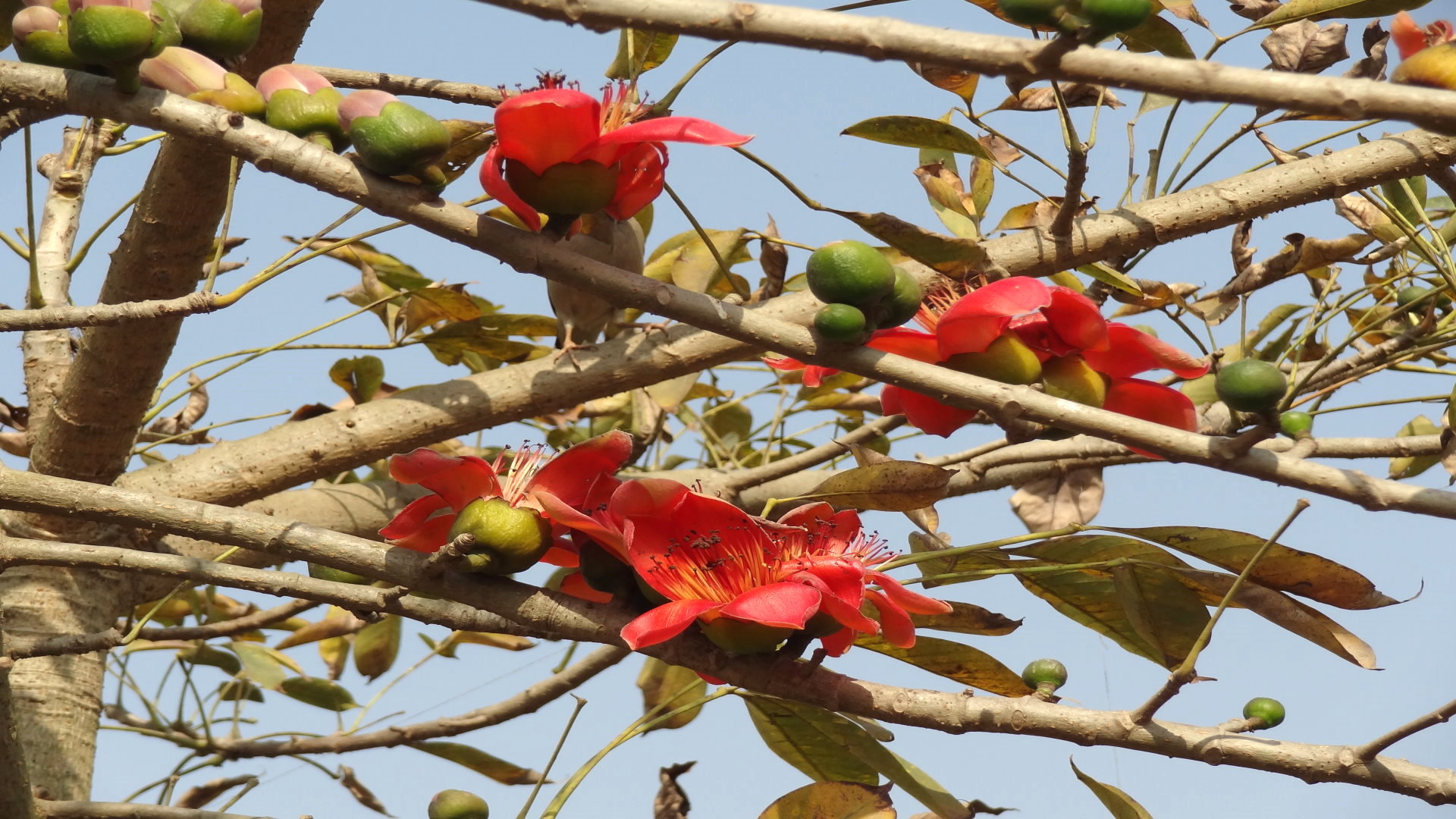
Curious!
Nabarun!
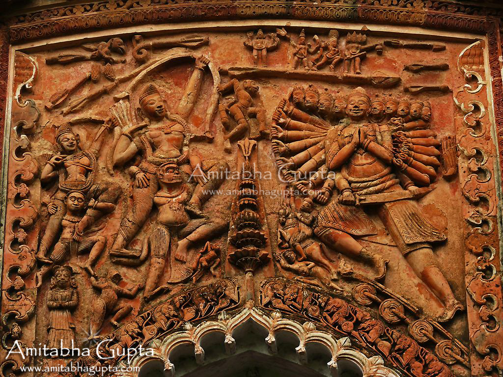
Ramayana In Teracotta
Topographic Map of Bhagwangola, West Bengal, India
Find elevation by address:

Places near Bhagwangola, West Bengal, India:
Lalgola
Murshidabad
Murshidabad
Berhampore
Chapainawabganj District
Dhuliyan
Rampurhat
Atla
Malda
Barharwa
Dhalsana
Malda
Eklakhi
Santhal Pargana Division
Dumka
Dumka
Ramgarh
Godda
Godda
Recent Searches:
- Elevation of Općina Šodolovci, Croatia
- Elevation of Šodolovci, Croatia
- Elevation of Old Clairton Rd, Jefferson Hills, PA, USA
- Elevation of st Ave SE, Lisbon, ND, USA
- Elevation of Steamboat Island Road Northwest, Olympia, WA, USA
- Elevation of Kootenai Trail Rd, Bonners Ferry, ID, USA
- Elevation of Hickory Blvd, Bonita Springs, FL, USA
- Elevation of Lalagbene, Bayelsa, Nigeria
- Elevation of Ogbosuware Health Centre, 2WWJ+4PJ, Lalagbene, Bayelsa, Nigeria
- Elevation of Duckhorn Ct, Las Vegas, NV, USA