Elevation of Godda, Jharkhand, India
Location: India > Jharkhand > Godda >
Longitude: 87.2135177
Latitude: 24.8255215
Elevation: 101m / 331feet
Barometric Pressure: 100KPa
Elevation Map:
Satellite Map:
Related Photos:
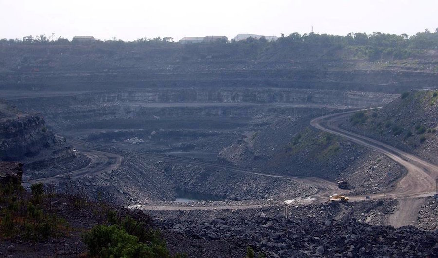
Coal_mine_in_Dhanbad_India
Topographic Map of Godda, Jharkhand, India
Find elevation by address:

Places near Godda, Jharkhand, India:
Godda
Ramgarh
Dumka
Santhal Pargana Division
Dumka
Barharwa
Dhuliyan
Rampurhat
Atla
Malda
Eklakhi
Dhalsana
Chapainawabganj District
Malda
Lalgola
Murshidabad
Bhagwangola
Murshidabad
Berhampore
Recent Searches:
- Elevation of Općina Šodolovci, Croatia
- Elevation of Šodolovci, Croatia
- Elevation of Old Clairton Rd, Jefferson Hills, PA, USA
- Elevation of st Ave SE, Lisbon, ND, USA
- Elevation of Steamboat Island Road Northwest, Olympia, WA, USA
- Elevation of Kootenai Trail Rd, Bonners Ferry, ID, USA
- Elevation of Hickory Blvd, Bonita Springs, FL, USA
- Elevation of Lalagbene, Bayelsa, Nigeria
- Elevation of Ogbosuware Health Centre, 2WWJ+4PJ, Lalagbene, Bayelsa, Nigeria
- Elevation of Duckhorn Ct, Las Vegas, NV, USA