Elevation map of Malda, West Bengal, India
Location: India > West Bengal >
Longitude: 88.2461183
Latitude: 25.1785773
Elevation: 33m / 108feet
Barometric Pressure: 101KPa
Elevation Map:
Satellite Map:
Related Photos:
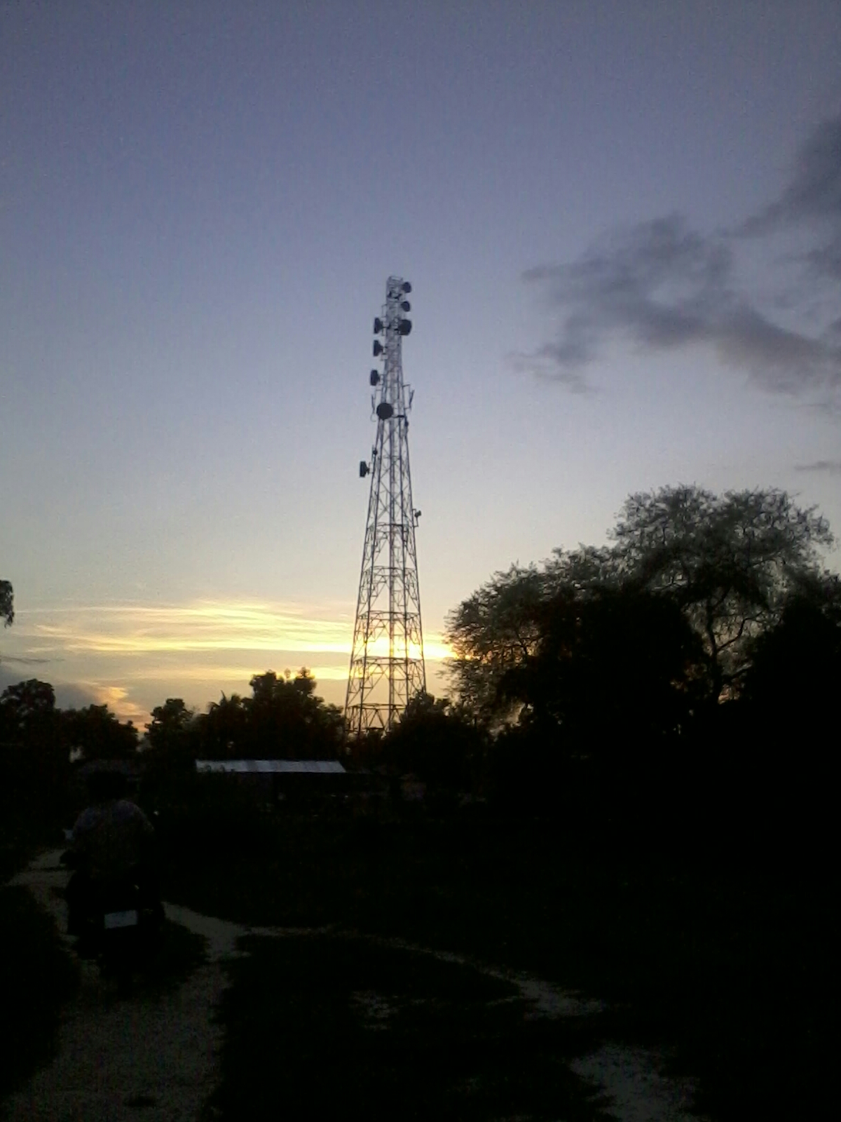
Dusk with Network Tower

Tree with Sun Shine.....
Topographic Map of Malda, West Bengal, India
Find elevation by address:

Places in Malda, West Bengal, India:
Places near Malda, West Bengal, India:
Dhalsana
Eklakhi
Malda
Chapainawabganj District
Barharwa
Dhuliyan
Lalgola
Bhagwangola
Murshidabad
Murshidabad
Godda
Berhampore
Godda
Rampurhat
Atla
Ramgarh
Dumka
Santhal Pargana Division
Dumka
Recent Searches:
- Elevation of Chesaw Rd, Oroville, WA, USA
- Elevation of N, Mt Pleasant, UT, USA
- Elevation of 6 Rue Jules Ferry, Beausoleil, France
- Elevation of Sattva Horizon, 4JC6+G9P, Vinayak Nagar, Kattigenahalli, Bengaluru, Karnataka, India
- Elevation of Great Brook Sports, Gold Star Hwy, Groton, CT, USA
- Elevation of 10 Mountain Laurels Dr, Nashua, NH, USA
- Elevation of 16 Gilboa Ln, Nashua, NH, USA
- Elevation of Laurel Rd, Townsend, TN, USA
- Elevation of 3 Nestling Wood Dr, Long Valley, NJ, USA
- Elevation of Ilungu, Tanzania