Elevation of Berhampore, West Bengal, India
Location: India > West Bengal > Murshidabad >
Longitude: 88.268411
Latitude: 24.0982607
Elevation: 23m / 75feet
Barometric Pressure: 101KPa
Elevation Map:
Satellite Map:
Related Photos:

Elevated View of Katra Mosque alias Katra Masjid
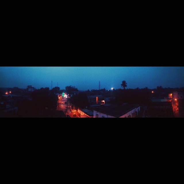
View from room. Unedited panorama.
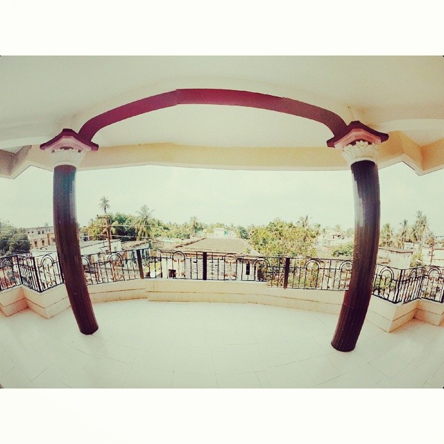
View from room #2

Sunset over the Bhagirathi
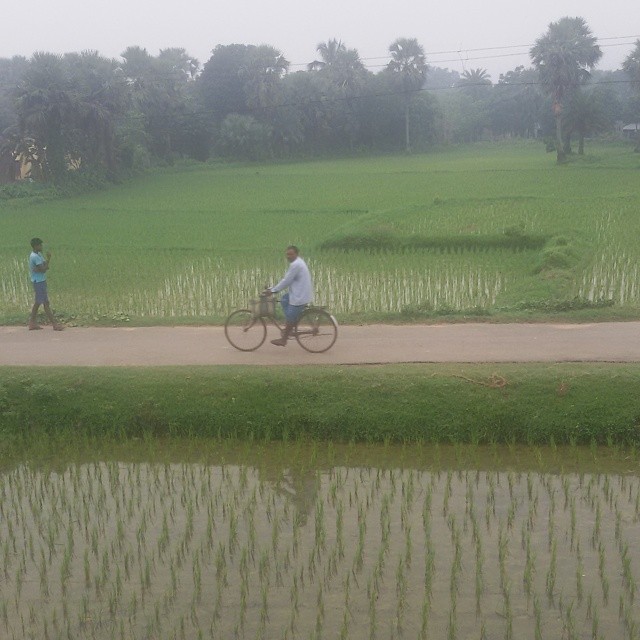
Rice crops in #WestBengal

2019-02-24-17-56-36-614

2016-12-21-23-45-56-705

2019-01-22-09-27-32-928

IMG_20190501_232458_541-1
Topographic Map of Berhampore, West Bengal, India
Find elevation by address:

Places near Berhampore, West Bengal, India:
Murshidabad
Murshidabad
Bhagwangola
Lalgola
Atla
Rampurhat
Chapainawabganj District
Dhuliyan
Barharwa
Santhal Pargana Division
Malda
Dumka
Dhalsana
Dumka
Malda
Eklakhi
Ramgarh
Godda
Godda
Recent Searches:
- Elevation of Lust Road, Lust Rd, Florida, USA
- Elevation of Pleasant Valley Rd NW, Adairsville, GA, USA
- Elevation of Općina Šodolovci, Croatia
- Elevation of Šodolovci, Croatia
- Elevation of Old Clairton Rd, Jefferson Hills, PA, USA
- Elevation of st Ave SE, Lisbon, ND, USA
- Elevation of Steamboat Island Road Northwest, Olympia, WA, USA
- Elevation of Kootenai Trail Rd, Bonners Ferry, ID, USA
- Elevation of Hickory Blvd, Bonita Springs, FL, USA
- Elevation of Lalagbene, Bayelsa, Nigeria